
The BTC office will be closed on Mon. Oct. 12 for the holiday. Thank you for your understanding.
Hike Schedule
Join us for a hike! Registration required.
All hikes available to BTC members. Some hikes are open to non-members.
See Refund Policy for Paid Hikes >
TIP: The calendar view displays up to 7 hikes on a day, but often there are more. Click “View more events” to see them all.
Niagara
Iroquoia
Toronto
Caledon Hills
Dufferin Hi-Land
Blue Mountains
Beaver Valley
Sydenham
Peninsula
All Clubs
Show Filters
Categories
Reset Filters
- 05October 5, 2025
Bruce Trail Day: The Big Loop Bruce Trail Hike
https://hikes.brucetrail.org/event/bruce-trail-day-the-big-loop-bruce-trail-hike-2/Sorry, the registration cut-off time for this hike has been reached.Not a member? Click here to join today!Hosting Club: Peninsula
Location (Google Maps): Cape Croker Park Registration Office, 112 Park Rd., Neyaashiinigmiing
Hike Leader(s): Marg Gloade, Nathan Monk, Kathleen Stahlbaum Click here to contact Hike Leader(s)
Pace: Leisurely (2.0 – 3.0 km/h): A relaxed pace with frequent breaks and a focus on enjoyment., Medium (3.0 – 4.5 km/h): A comfortable pace for most hikers with steady progress.
Terrain: Difficult: Steep ascents/descents, rocky scrambling, and some rugged escarpment paths., Easy: Flat forested sections or lowland trails., Moderate: Rolling hills, mild slopes and rocky paths.
Distance: 9.5 kmDescription
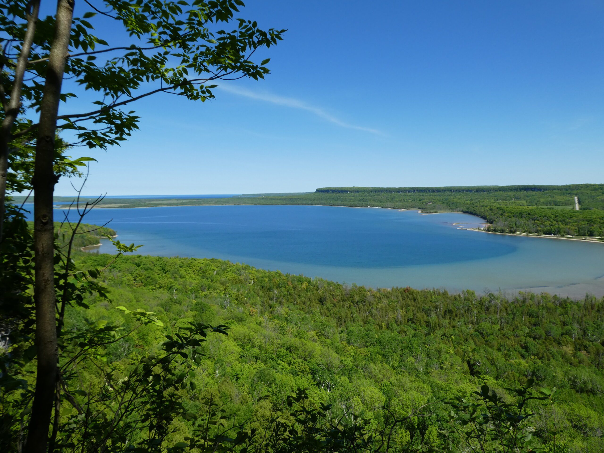
Everyone’s invited to join us in celebrating Bruce Trail Day with the Big Loop Bruce Trail Hike where we’ll hike the Boundary Bluff and Hart’s Tongue side trails as well as some of Sydney Bay’s main trail through Neyaashiinigmiing. We’ll meander through the rich green woods and along steep, rocky talus slope interspersed with extraordinary vistas overlooking Sydney Bay and scenic views of the Bluffs from below.This hike is for those looking for a more challenging trek in duration, distance and difficulty. Bring lots of water and a snack or light lunch as we’ll be out for ~4 hours. Hiking boots and trekking poles are advised due to rocky, uneven, and sometimes-slippery terrain. This hike will run rain or shine.
Bruce Trail Day is an annual event celebrating Canada’s longest and oldest marked footpath. Join us to learn more about what we are doing to preserve this beautiful ribbon of wilderness in Southern Ontario. We’ll be gathering at the Pavilion at Cape Croker Park after the hike for an informal gathering to warm up by the fire, enjoy some light refreshments, children’s games, learn about the Bruce Trail and meet new and old friends.
Car Hike: Primrose and Boyne Valley Loop
https://hikes.brucetrail.org/event/car-hike-primrose-and-boyne-valley-loop/Sorry, the registration cut-off time for this hike has been reached.Not a member? Click here to join today!Hosting Club: Toronto
Category: Car Hike
Location (Google Maps): Bruce Trail parking lot at County Rd 19 (Prince of Wales Rd) 80 meters south of the southern end of the Prince of Wales Side Trail.Hike Leader(s): Amir Alemohammad Click here to contact Hike Leader(s)
Pace: Moderate (3-4 km/hr)
Terrain: Flat, Hilly, Level 2 (Intermediate – some hills and uneven surfaces, rocks and roots underfoot), Rocky, Variable
Distance: 14-15 KDescription
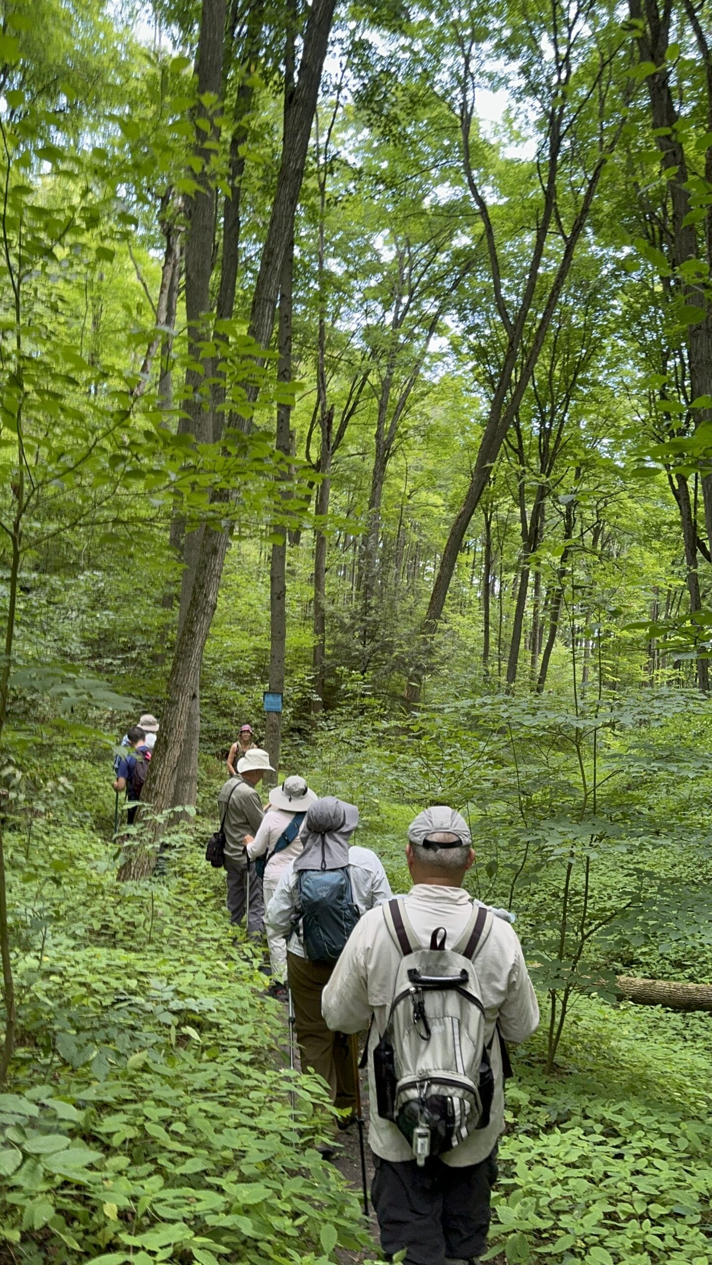
We’ll start on the Primrose Side Trail and enter the Boyne Valley to reach Murphy’s Pinnacle. From there, we’ll continue towards the Boyne Creek Side Trail and then loop back.What to Bring:
- At least 2L of water
- Snack or lunch
- Hiking boots (mandatory)
- Poles (recommended)
- Bug spray (ticks are active)
- Your camera, smile and hiking spirit
Be prepared for early morning chilly weather.
Bruce Trail Day: Bus transportation
https://hikes.brucetrail.org/event/bruce-trail-day-bus-transportation/Sorry, the registration cut-off time for this hike has been reached.Not a member? Click here to join today!Hosting Club: Niagara
Category: Bus
Location (Google Maps): Pick up location 1 – 8:45 am: Bridges Niagara, 85 Church Street, St. Catharines, Ontario, Canada, L2R 3C7
Pick up location 2 – 9:15 am: Victoria Avenue Library, 4848 Victoria Ave, Niagara Falls, L2E 4C5
Pick up location 3 – 9:30 am: MacBain Community Centre, 7150 Montrose Road, Niagara Falls, L2H 3N3Hike Leader(s): Angela Lytle Click here to contact Hike Leader(s)
Description
This Bruce Trail Day, we have limited spots available in a chartered bus for those unable to drive to Niagara College.The bus has been generously supported by the GreenBelt Foundation in hope that we can make this wonderful event more accessible to community members.
The bus will make three stops, and if you register here you can board at any location. You must register in advance to ensure space on the bus – if you are bringing friends or family please register for each person.
Please note the following pick up times as the bus will adhere to the schedule on time as follows:
Pick up location 1 – 8:45 am: Bridges Niagara, 85 Church Street, St. Catharines, Ontario, Canada, L2R 3C7
Pick up location 2 – 9:15 am: Victoria Avenue Library, 4848 Victoria Ave, Niagara Falls, L2E 4C5
Pick up location 3 – 9:30 am: MacBain Community Centre, 7150 Montrose Road, Niagara Falls, L2H 3N3The bus will take you to Niagara College and you can choose from any of the 10 am hikes on the schedule or just hang out at the information fair highlighting Niagara Bruce Trail activities and community partners including Bridges Niagara, PFLAG Niagara, the Peninsula Field Naturalists, Niagara Geopark, and NBTC volunteers sharing about how to get started hiking through our Hiking 101 as well as highlighting the amazing work done to maintain the trail in Niagara.
The bus will then go back to each location, departing Niagara College at 12:15, arriving back approximately as follows:
- 12:30 – MacBain Community Centre
- 12:45 – Victoria Ave Library
- 1:00 – Bridges Niagara
Hope to see you there!

Fundraising Hike - Dufferin Stained Glass - 3 hikes
https://hikes.brucetrail.org/event/fundraising-hike-dufferin-stained-glass-3-hikes/Sorry, the registration cut-off time for this hike has been reached.Not a member? Click here to join today!This is a Multi-Day Hike
You are signing up for the following dates and times:
2025-10-05 at 09:00
2025-10-18 at 09:00
2025-11-01 at 09:00Hosting Club: Dufferin Hi-Land, Beaver Valley
Location (Google Maps): Mono Community Centre parking lot near km 0.0 (Dufferin), park in gravel area
Hike Leader(s): David Royston Click here to contact the hike leader.
Pace: Medium
Terrain: Some rocky footing, Some steep sections
Length of Hike: 19.4 km, 21.3 km and 14.8 kmDescription
Stained Glass Badges over 3 years. 2025 hikes – series #2 – Dufferin section in 3 hikes.These hikes will proceed at a moderate pace (4 km per hr not including a midday lunch stop of about 25 min). Short breaks will be taken throughout the hikes as appropriate. Except for shuttles, participants are expected to be self reliant. Please bring plenty of water, snacks, lunch, appropriate footwear and clothing, personal medical kit and anything else you might need.
All participants will be expected to do their share of shuttle driving. Shuttle drivers should not expect compensation for doing a shuttle. Shuttle drivers will be selected by the hike leader at the start of each hike. As parking is limited, participants should car pool to the meeting point if possible.
I’m just a volunteer at this and do not have a current first aid certification. There is no guarantee that there will be anyone with such credentials on the hikes. In addition to the waiver signed at registration, participants will be required to sign a waiver in favour of myself at the start of the hikes.
Hikes will proceed rain or shine. Hike plan attached. If there are any questions, please do not hesitate to contact me.
Forest Bathing Opportunity, with a dash of history!
https://hikes.brucetrail.org/event/forest-bathing-opportunity-with-a-dash-of-history/Sorry, the registration cut-off time for this hike has been reached.Not a member? Click here to join today!Hosting Club: Caledon Hills
Category: Nature Walks
Location (Google Maps): This loop hike departs from Riverside Woods, 713377 First Line, EHS, Mono. (BTC Ref Guide Map 18). From Highway 10, take Hockley Valley Rd. east. Turn right on to the 5 Side Road, go past the Fairground, and then left or north on the First Line to the parking lot. (Do NOT attempt to drive south on the First Line directly from the Hockley Valley Rd. – it is not safely passable.)Hike Leader(s): Janice McClelland Click here to contact Hike Leader(s)
Pace: Leisurely – 3 km/hour or less
Terrain: Moderate – some hills and/or some poor footing
Distance: 4.2 kmDescription
This Forest Bathing hike is part of Bruce Trail Day activities, organized by the Caledon Hills Bruce Trail Club. We will be the first hike of the day, as we quietly head into the forest to absorb the sights & sounds of nature. Hike leader will share info on forest bathing and also some local history.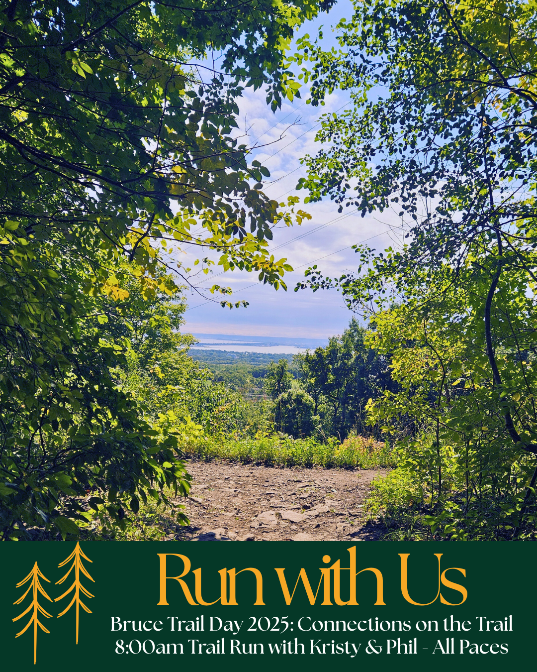
Bruce Trail Day Trail Run: Smokey Hollow Hustle
https://hikes.brucetrail.org/event/smokey-hollow-hustle/Sorry, the registration cut-off time for this hike has been reached.Not a member? Click here to join today!Hosting Club: Iroquoia
Category: Special Event
Location (Google Maps): Cityview Park South Entrance; 2500 Kerns RdHike Leader(s): Kristy Goss Click here to contact Hike Leader(s)
Pace: Fast – 5+ km/hr
Terrain: Moderate – Some hills and/or some poor footing
Distance: 10km with option to go furtherDescription
Connect with us & like minded folks on Bruce Trail day for a fun and inclusive trail run to Smokey Hollow & back. This will be for all types and paces of trail runners, lead by Kristy & Phil. You will need running shoes, a handheld water bottle or running vest with whatever you need for a 1.5-2hr run. Dress in comfortable running clothes appropriate for the weather – we will go rain or shine : ) No one will get left behind, but the expectation is that you have run before, understand what you’re signing up for and be physically capable to complete the route. There are some uphill sections, and while a lot of this route is flat, there are rocks and roots to be watchful of. Arrive with time to join the group and get started by 9am.
We’ll run at a group pace, meeting at the Cityview park south entrance parking lot –
The run will begin on the Cityview Side Trail, continuing right onto the Main trail where we will follow the white blazes to the Smokey Hollow Side Trail to take a quick break for the group to gather and take in the rushing water & gorgeous views of Great Falls on the Grindstone creek. We’ll turn around and head back towards Cityview Park with a detour back through the King Side Trail to the main trail where you can head back to the Bruce Trail day info booths, or continue on for a little bit longer with a loop of the Ian Reid side trail or explore the Kerncliff Park Side Trail and boardwalk.Bruce Trail Day: Longer Hike
https://hikes.brucetrail.org/event/bruce-trail-day-longer-hike-2/Sorry, the registration cut-off time for this hike has been reached.Not a member? Click here to join today!Hosting Club: Niagara
Category: Leisurely
Location (Google Maps):Niagara College Garden Nursery, Taylor Road, Niagara-on-the-lake (near the Outlet Collection at Niagara Mall and White Oaks Conference Resort and Spa, just off the QEW)
Look for the poster that says “Longer Hike”
Hike Leader(s): Sam Rutherford Click here to contact Hike Leader(s)
Pace: Fast
Terrain: Moderate
Distance: 8 kmDescription
Join us on Bruce Trail Day for a longer hike in the beautiful natural environment of Niagara. The theme for Bruce Trail Day is MAKING CONNECTIONS ON THE BRUCE TRAIL This hike celebrates the unifying and connecting power of nature to bring us all together.We will take trails around Woodend towards fireman’s Park and then enjoy light food and drinks as part of the Bruce Trail Day celebration.
This hike is suitable for experienced hikers, or anyone who wants to explore the trails at a faster pace. The terrain is a mix of relatively flat trail around the wetlands and some rocky path with some ups and downs on the Bruce Trail.
Advance registration is encouraged, but it is also possible to show up and register on-site. Please arrive 10 minutes before the scheduled hike time to check in with the hike leaders. We will meet by the Niagara college greenhouse, look for the poster that says LONGER HIKE.
Youth Hiking Program - Discovery Hike - GSCA to Inglis
https://hikes.brucetrail.org/event/youth-hiking-program-discovery-hike-gsca-to-inglis-2/Sorry, the registration cut-off time for this hike has been reached.Not a member? Click here to join today!Hosting Club: Sydenham
Category: Family Hike
Location (Google Maps):Meet in the parking lot behind the Grey-Sauble Conservation Authority head office (beside the Arboretum).
237897 Inglis Falls Road, Owen SoundCarpooling may be available upon request
Hike Leader(s): Jeannine Kralt Click here to contact Hike Leader(s)
Pace: Leisurely: 3 km/h or less
Terrain: Moderate: Some hills and/or poor footing
Distance: 4kmDescription
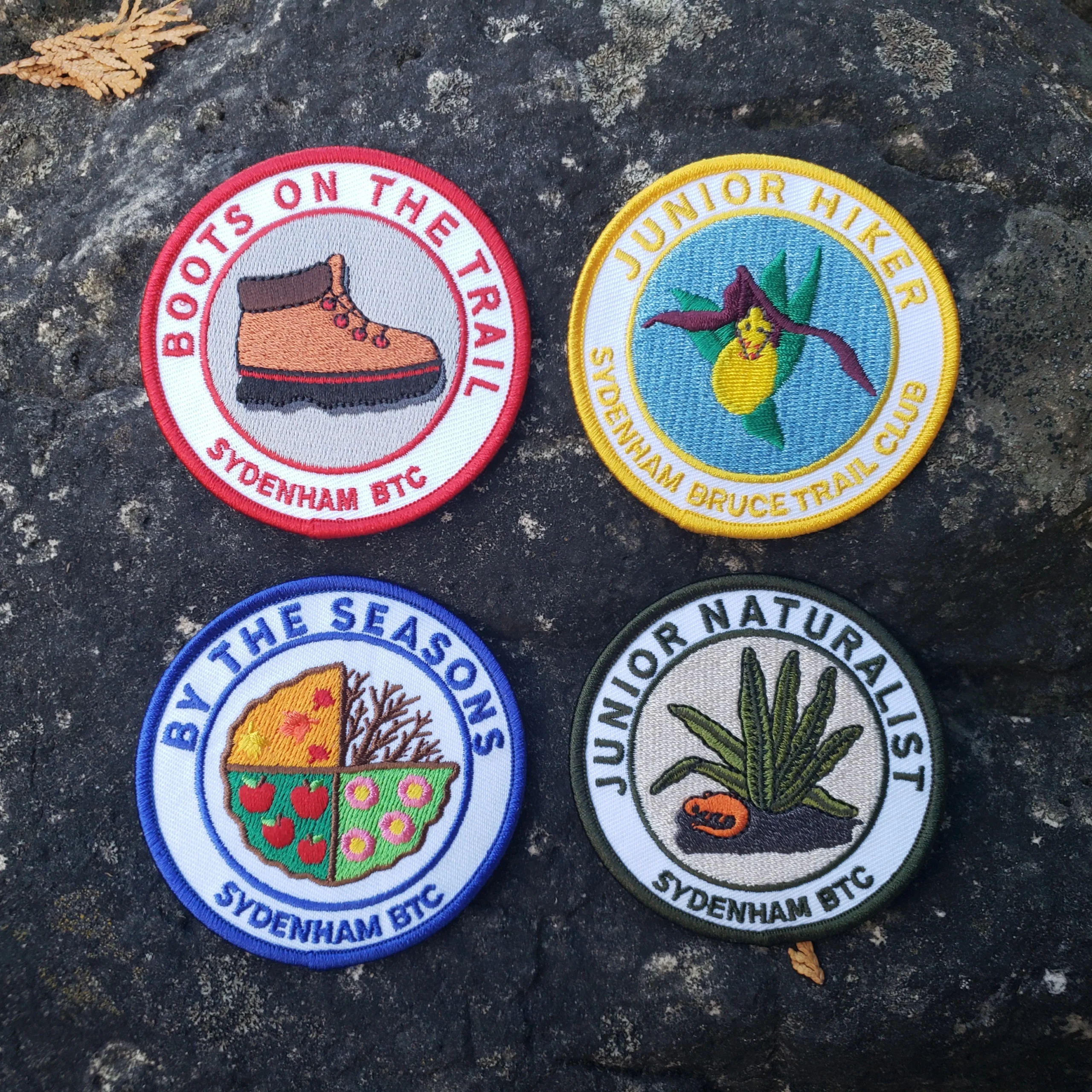
Join us on this Discovery Hike from GSCA to Inglis Falls and back – we’ll take our time, and see what we can find. We’ll cross the Sydenham River, hike through forests, climb the Escarpment, check out geological potholes and take a peek at Inglis Falls, returning via mostly the same route. Free ‘Boots on the Trail’ badges are available to youth 18 and under. This is also a great route to choose for the By the Seasons badge.As we’ll be taking our time, this hike is suitable for families, new hikers, and anyone wanting a more leisurely hike. All ages are welcome. We’ll likely take a couple of hours (possibly more), depending on the group and conditions – dress in layers, bring a snack, and wear good footwear. Given that October conditions can be variable, an email re: trail conditions to expect will be sent out prior to our hike together. The trail may be mucky in portions.
If you are unable to register, please contact the hike leader via the link above. Carpooling may be available upon request.
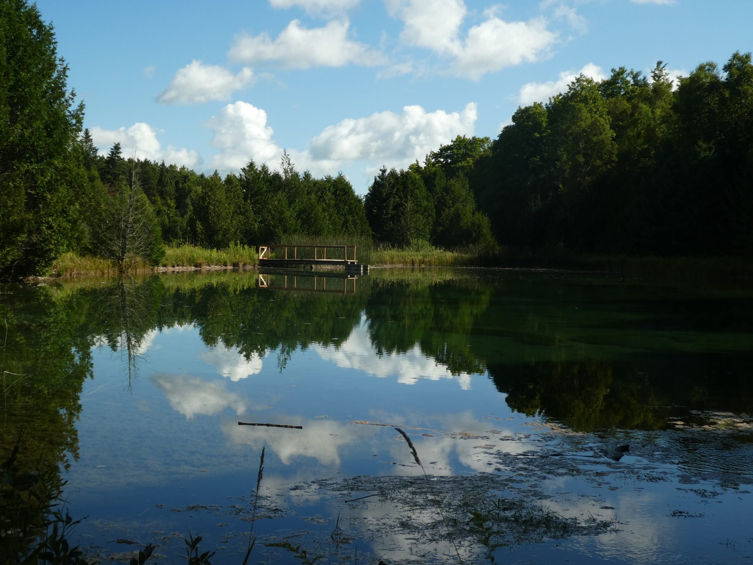
Caledon North
https://hikes.brucetrail.org/event/caledon-north-3/Sorry, the registration cut-off time for this hike has been reached.Not a member? Click here to join today!Hosting Club: Iroquoia
Category: General Hike
Location (Google Maps): Meet in the parking lot at the Mono Centre Park at 9:15 amHike Leader(s): Karen Bergmann Click here to contact Hike Leader(s)
Pace: Medium – 3 to 4 km/hr
Terrain: Moderate – Some hills and/or some poor footing
Distance: 8 kmsDescription
Starting at the top of the Caledon Hills section in the village of Mono Centre, we will hike the main trail and around the Turnbull, Springwater, Whitetail Refuge and new Third Outlier Side Trails and back along the main trail into Mono Cliffs to the Laidlaw Side Trail to the cars. Bring water and a snack as needed.Bruce Trail Day - 9:30am Nature Hike
https://hikes.brucetrail.org/event/bruce-trail-day-930am-nature-hike-2/Sorry, the registration cut-off time for this hike has been reached.Not a member? Click here to join today!Hosting Club: Niagara
Category: In and Out
Location (Google Maps):Niagara College – Meet near the NC Greenhouse
Look for the poster that says NATURE HIKE
Hike Leader(s): Helen Hermansen Click here to contact Hike Leader(s)
Pace: Medium
Terrain: Moderate
Distance: ~5kmDescription
NATURE HIKEJoin us on Bruce Trail Day for a Nature Hike to learn more about the nature along the Niagara Escarpment. We will be joined by Darren Platakis, from GeoParks. Helen and Darren will explore the Woodend Trails.
Hiking boots and poles are recommend as the terrain is rocky in sections.
Fourth Annual Music Hike and Bruce Trail Day
https://hikes.brucetrail.org/event/fourth-annual-music-hike-and-bruce-trail-day/Sorry, the registration cut-off time for this hike has been reached.Not a member? Click here to join today!Hosting Club: Blue Mountains
Category: Organized Hike
Location (Google Maps): Nottawasaga Bluffs, 8861 Sideroad 15/16 Nottawasaga, SinghamptonDescription
Join us for the Fourth Annual Music Hike and Bruce Trail Day, a unique celebration where music meets nature. Musicians will be scattered throughout the scenic wilderness, serenading hikers as they explore breathtaking forest trails and lookouts.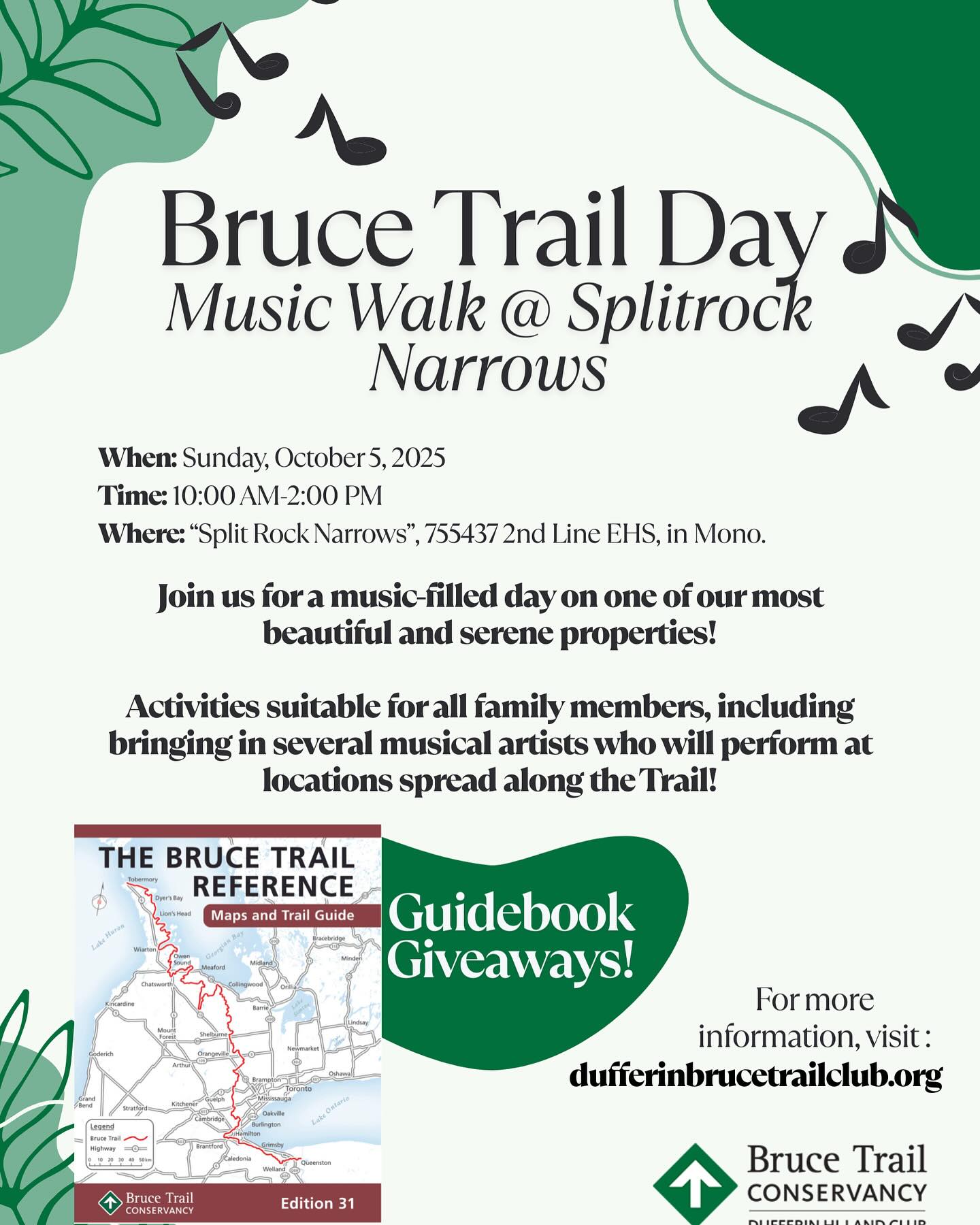
Dufferin Hi-Land's Music Walk at Split Rock Narrows
https://hikes.brucetrail.org/event/dufferin-hi-lands-bruce-trail-day-tunes-the-trail/Sorry, the registration cut-off time for this hike has been reached.Not a member? Click here to join today!Hosting Club: Dufferin Hi-Land
Category: Special Events
Location (Google Maps): Split Rock Narrows Nature Reserve
755437 2nd Line EHS
Mono, ON L0N 1S8Hike Leader(s): c/o Don Stewart Click here to contact Hike Leader(s)
Pace: Leisurely
Terrain: Easy
Distance: Up To 1.9 Km (plus return)Description
Come and meet members of the Dufferin Hi-Land Bruce Trail Club and learn about The Bruce Trail Conservancy and the Dufferin Hi-Land section of the trail. This is a Family oriented event with activities planned for preschoolers to retirees. As a special attraction, we have arranged musical performers to entertain you while on the trail! FREE Bruce Trail Guide Books to the first 40 visitors. Free parking available. Please visit www.dufferinbrucetrailclub.org for more information.Celebrate Bruce Trail Day with an EASY DOES IT FAMILY HIKE
https://hikes.brucetrail.org/event/celebrate-bruce-trail-day-with-an-easy-does-it-family-hike/Sorry, the registration cut-off time for this hike has been reached.Not a member? Click here to join today!Hosting Club: Niagara
Category: Leisurely
Location (Google Maps):Niagara College Garden Nursery parking lot, Taylor Road, Niagara-on-the-lake
Hike Leader(s): Diane Marlatt Click here to contact Hike Leader(s)
Pace: Leisurely
Terrain: Easy
Distance: 3KmDescription
Time: 10am to 11:00 am. It’s approximately one hour, 3 km hike. Gentle hikers and school aged children accompanied with an adult are very welcome. Please, wear sturdy shoes for our walk around the Wetland path, time permitting, we’ll walk a little on the main path. Please stay after the hike and join us with a light refreshment. We will have a displays of things to know and do on the Niagara Bruce Trail.
Iroquoia Club Bruce Trail Day hikes!
https://hikes.brucetrail.org/event/iroquoia-club-bruce-trail-day-hikes/Sorry, the registration cut-off time for this hike has been reached.Not a member? Click here to join today!Hosting Club: Iroquoia
Category: Special Event
Location (Google Maps): City View Park
2500 Kerns Rd, Burlington (South Entrance)Hike Leader(s): Parvinder Sachdeva Click here to contact Hike Leader(s)
Pace: Leisurely – 3km/hr or less, Medium – 3 to 4 km/hr
Terrain: Easy – Mostly flat and usually good footing, Moderate – Some hills and/or some poor footingDescription
Bruce Trail Day
with the Iroquoia Bruce Trail Club
October 5, 2025, 10:00 am to 2:30 pm
City View Park
2500 Kerns Rd, Burlington (South Entrance)Join the Iroquoia Bruce Trail Club for a fun-filled, family-friendly event at City View Park. There will be guided hikes for adults and kids alike and lots of fun activities. The theme of this year’s event is “Connections on the Trail” and we wish to welcome anyone and everyone. Whether you’ve called the Bruce Trail ‘home’ for the last decades or are a newcomer, waiting to explore, you’re all invited! Come celebrate the Bruce Trail and learn about the beautiful surroundings we are lucky to have so close to home.
Activities include:
- Guided hikes
- Scavenger Hunt
- Blaze Painting
- Intro to Geocaching
- Young hikers can earn their badge on a children’s hike
There will be some refreshments available as well. All free of charge! Attendees will also have a chance to win a copy of the latest Bruce Trail Reference Guide. Visit the Iroquoia Bruce Trail Club website at: https://www.iroquoia.on.ca/
Please register on-line and show up for the hike you’d like or register at the event. Hikers are requested to be at the event tent 15 minutes prior to the hike of their choice.
10:00 Intro to iNaturalist and Merlin with Anne A. and Kat F.: Curious about what you see and hear along the trail? This hike will offer an opportunity to learn all about the iNaturalist and Merlin apps. How to identify what you see and log your finds.
10:30 A bit about rocks – Geology Hike with Ann G.: The Niagara Escarpment is a true marvel that we are lucky to have right in our backyard. Join Ann on a hike to explore a bit of what makes up the escarpment in this area.
11:00 Family and Children’s hike with Cathie G.: Hit the trail with the littles in your family on this hike geared for the younger outdoor enthusiasts. Children can earn their Fall Junior Hiker badge while exploring this beautiful area.
11:30 Shagbark and Land Stewardship: Join Stuart, a volunteer land steward, and Land Stewardship Director Cynthia for an exploration of the newly acquired Shagbark property. This gentle hike will highlight the new property, land acquisition and donation program, land stewardship and conservation activities and volunteering.
12:00 Family and Children’s hike with Julia K.: Anyone is welcome on the family and children’s hike. Young hikers can earn their Fall Junior Hiker badge for free!
A trail run and pre-event hike will also be available but require separate registration. Please see visit the hike schedule for additional details
Bruce Trail Day! Eugenia Falls "In Your Estimation Hike" (self guided)
https://hikes.brucetrail.org/event/bruce-trail-day-eugenia-falls-in-your-estimation-hike-self-guided/Sorry, the registration cut-off time for this hike has been reached.Not a member? Click here to join today!Hosting Club: Beaver Valley
Location (Google Maps): Meet in the Eugenia Falls Conservation Area parking lot in the centre of the village of Eugenia, turn west off County Rd. 13 onto Pellisier St. Follow the road down into the parking lot. 43.592859 -79.980456
Free parking for Bruce Trail Day.Hike Leader(s): Glenda Collings Click here to contact the hike leader.
Pace: Leisurely
Terrain: Moderate, Some steep sections
Length of Hike: Approx. 3 km totalDescription
“In Your Estimation” Hike. Hikers will be challenged to guess their completion time for an approximately 3 km hike. Exact hike route and distance will be revealed on Bruce Trail Day! The hiker with the closest guess will win a Beaver Valley Bruce Trail Prize. Hikers are asked to please refrain from checking time, pace or distance technology during the hike – all participating hikers will be timed by Club volunteers.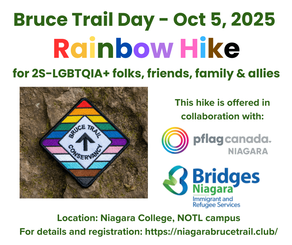
Bruce Trail Day: RAINBOW/ WELCOME Hike
https://hikes.brucetrail.org/event/bruce-trail-day-rainbow-welcome-hike/Sorry, the registration cut-off time for this hike has been reached.Not a member? Click here to join today!Hosting Club: Niagara
Category: Leisurely
Location (Google Maps):Niagara College Garden Nursery, Taylor Road, Niagara-on-the-lake (near the Outlet Collection at Niagara Mall and White Oaks Conference Resort and Spa, just off the QEW)
Look for the poster that says RAINBOW HIKE
Hike Leader(s): Angela Lytle Click here to contact Hike Leader(s)
Pace: Leisurely
Terrain: Moderate
Distance: 4 kmDescription
Description:
This hike is a welcoming space for 2S-LGBTQIA+ folks, friends, family and allies! Offered in
collaboration with Bridges Niagara and PFLAG Niagara.
Join us on Bruce Trail Day for a hike in the beautiful natural environment of Niagara. The theme
for Bruce Trail Day is MAKING CONNECTIONS ON THE BRUCE TRAIL. This hike celebrates
the unifying and connecting power of nature to bring us all together.
We will take a hike together on trails around Niagara College/Woodend Conservation Area, and
then enjoy light food and drinks and explore the information tables as part of the Bruce Trail Day
celebration. The Niagara Falls bookmobile will also be on site!
Hike details:
This hike is suitable for anyone who wants to explore the trails at a moderate pace. The terrain
is a mix of relatively flat trail around the wetlands and then we will ascend a rocky path with
some ups and downs on the escarpment along the Bruce Trail.
Note that it is not suitable terrain for anyone with significant mobility challenges due to rocky
sections of the path and the elevation associated with crossing the escarpment – the Easy Does
it Hike on the schedule for Bruce Trail Day would be a more suitable option.
Children are welcome with a guardian.
Important note: BTC Rainbow stickers will be available for all hikers and those hiking for the first
time on the Bruce Trail can earn the special "My First Hike" badge by participating in this hike.
In order to be comfortable on the hike, please:
Wear comfortable, hiking shoes or boots (rocky terrain and some mud is possible)
Comfortable clothing, be prepared for weather changes
Carry water for drinking
A hat and insect repellent
Hiking poles are recommended for going up and down the escarpment on the trails
Advance registration is encouraged, but it is also possible to show up and register on-site.
Please arrive 10 minutes before the scheduled hike time to check in with the hike leaders. We
will meet by the Niagara college greenhouse – look for the RAINBOW HIKE sign when you
arrive.Note: Free bus transportation may be available for those who need it with central pick up
locations in St. Catharines or Niagara Falls. Please contact the hike leader for details if you
want to take the chartered bus to and from Bruce Trail Day.Bruce Trail Day - 10:00am BIODIVERSITY Hike
https://hikes.brucetrail.org/event/bruce-trail-day-1000am-biodiversity-hike/Sorry, the registration cut-off time for this hike has been reached.Not a member? Click here to join today!Hosting Club: Niagara
Category: In and Out
Location (Google Maps):Niagara College – Meet near the NC Greenhouse
Hike Leader(s): Adam Brylowski, Lynskie Click here to contact Hike Leader(s)
Pace: Medium
Terrain: Moderate
Distance: ~5kmDescription
NATURE HIKEJoin us on Bruce Trail Day for a Nature Hike to learn more about the biodiversity along the Niagara Escarpment. We will explore the trails throughout the Wetland Ridge and Woodend Trails
Hiking boots and poles are recommend as the terrain is rocky in sections.
Bruce Trail Day Hike: City View Park to Great Falls and back
https://hikes.brucetrail.org/event/bruce-trail-day-hike-city-view-park-to-great-falls-and-back/Sorry, the registration cut-off time for this hike has been reached.Not a member? Click here to join today!Hosting Club: Iroquoia
Category: Special Event
Location (Google Maps): South Parking Lot of City View Park, BurlingtonHike Leader(s): Asia Shin Click here to contact Hike Leader(s)
Pace: Medium – 3 to 4 km/hr
Terrain: Moderate – Some hills and/or some poor footing
Distance: 9-10 KmDescription
Meet at City View Park South Lot at 09:45 am for 10:00 am start. Bring water, snacks, and sunscreen. Rain jacket in case of rain. Wear study hiking shoes/boots.Admire the city view at the beginning. Walking/hiking through lovely wooded areas (mostly flat but some rocks and roots) following Bruce Trail’s main trail toward Waterdown. Spend a little time at the lookout over Great Falls. Turn around and walk/hike back to the parking lot. Hopefully, we can see some fall colours!
Bruce Trail Day: Mindful Walk in Nature (McIver Pond)
https://hikes.brucetrail.org/event/mindful-walk-in-nature-mciver-pond-3/Sorry, the registration cut-off time for this hike has been reached.Not a member? Click here to join today!Hosting Club: Peninsula
Location (Google Maps): McIver Pond and nearby trails
Hike Leader(s): Shawn Radcliffe, Beige McIntosh Click here to contact Hike Leader(s)
Pace: Leisurely (2.0 – 3.0 km/h): A relaxed pace with frequent breaks and a focus on enjoyment.
Terrain: Easy: Flat forested sections or lowland trails., Moderate: Rolling hills, mild slopes and rocky paths.
Distance: 2 kmDescription
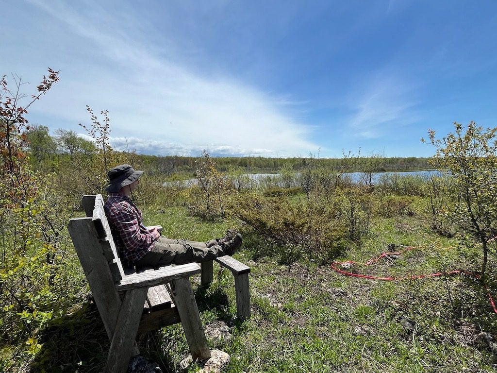
On this hike, we’ll be visiting McIver Pond and exploring the nearby trails. You won’t go far today, but you will go deep … into your mind and into nature. We’ll start off the hike with gentle stretching and breathing exercises to help calm your mind and open your senses to your surroundings. Throughout the hike, we’ll enjoy frequent quiet moments together as we bring our attention to the sights, sounds, and smells of the natural world. This hike is about connecting with nature, your own mind, and your fellow hikers. Whether you are new to mindfulness or a long-time practitioner, this hike will enhance your experience of Fall’s splendour and beauty.This hike is part of Bruce Trail Day, which celebrates connections on the Trail. This year, we’re highlighting the connections we have with nature and one other – from the people we meet along the way to those indigenous populations who have been here since time immemorial and continue to act as stewards and connect us with the land. #BruceTrailforAll
We’ll be gathering at the Pavilion at Cape Croker Park after the hike for an informal gathering to warm up by the fire, enjoy some light refreshments, children’s games, learn about the Bruce Trail and meet new and old friends.
Car Hike: Mono Cliffs
https://hikes.brucetrail.org/event/car-hike-mono-cliffs-7/Sorry, the registration cut-off time for this hike has been reached.Not a member? Click here to join today!Hosting Club: Toronto
Category: Car Hike
Location (Google Maps): Mono Cliffs Provincial ParkHike Leader(s): Al Brown Click here to contact Hike Leader(s)
Pace: Moderate (3-4 km/hr)
Terrain: Level 1 (Easy – mostly on flat, well maintained trails with hard-packed surface), Variable
Distance: 8-10 kmDescription
Join us for a short hike through Mono Cliffs PP to observe the fall colours which should be in full bloom. We will be following part of the main trail and side trails for a loop hike with one significant hill. We will stop at several viewpoints along the way.After the hike those interested may gather at a local establishment for refreshments.
Hiking 101 Workshop At Evergreen Brickworks
https://hikes.brucetrail.org/event/hiking-101-workshop-at-evergreen-brickworks/Sorry, the registration cut-off time for this hike has been reached.Not a member? Click here to join today!Hosting Club: Toronto
Category: TBTC Special Events
Location (Google Maps): BMO Atrium, Evergreen Brickworks – In Toronto’s Don Valley on Bayview AvenueClick here to contact Hike Leader(s)
Distance: N/A
Description
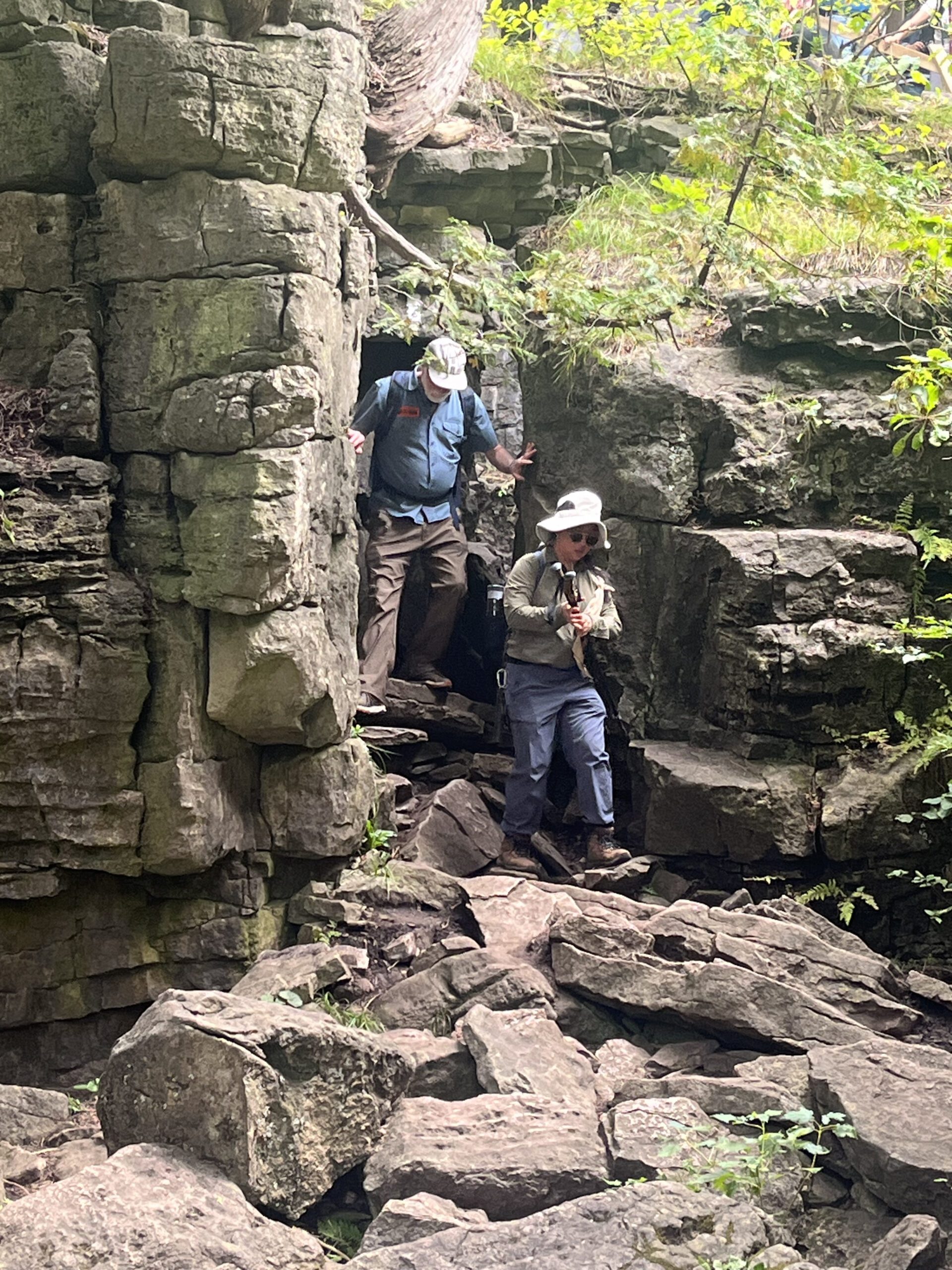
Are you new to hiking or interested in getting started? Join us at the Evergreen Brickworks for a one hour session where you will learn what you need to have in your backpack for a safe and enjoyable hike, how to continue enjoying Ontario’s trails in the Winter season, how our club works to preserve biodiversity on the Niagara Escarpment, and how you can join us year round for our program of urban walks, car hikes, bus hikes, and Winter ski/snowshoe coach trips. There will be an opportunity for questions and answers after the speakers. This workshop is part of our “Hiker Initiation Program” – join us for an introductory hike on the Bruce Trail on Sunday October 19th to the Limehouse Conservation area near Georgetown featuring the Limestone kilns, stone arch bridge, and the “Hole In The Wall” on the Bruce Trail, just under an hour from Toronto. Registration for the Bus Hike is seperate from this workshop. The date of this workshop is also “Bruce Trail Day” and the Toronto Bruce Trail Club will have a booth in Tiffany Commons in the Brickworks on the Saturday and Sunday featuring displays, activities, and an opportunity to join TBTC hike leaders on a free guided hike in the Evergreen Brickworks and adjoining ravine. Registration for these hikes will be at the club’s booth in Tiffany Commons. and the schedule of hikes will be posted here at later date.
Bruce Trail Day: Ginebek Miikaans (Snake Trail Boardwalk)
https://hikes.brucetrail.org/event/bruce-trail-day-ginebek-miikaans-snake-trail-boardwalk/Sorry, the registration cut-off time for this hike has been reached.Not a member? Click here to join today!Hosting Club: Peninsula
Location (Google Maps): Neyaashiinigimiing, Cape Croker Park, 112 Park Road, Wiarton
Hike Leader(s): Caley Doran Click here to contact Hike Leader(s)
Pace: Leisurely (2.0 – 3.0 km/h): A relaxed pace with frequent breaks and a focus on enjoyment.
Terrain: Easy: Flat forested sections or lowland trails.
Distance: ~2 kmDescription
Help us celebrate Bruce Trail Day!Caley will introduce you to the natural and cultural wonders found along Ginebek Miikaans – the Snake Trail Boardwalk. This trail winds through mixed forest, to the edges of an active beaver dam and lodge, and along the shoreline of Sydney Bay. During this exploration you will learn about the traditional plants and wildlife that play a pivotal role in the traditional and contemporary lives of the Anishinaabek people. Spend some time at our two lookouts to take in the natural beauty of Wiikwedonse (Sydney Bay) and a beaver pond teeming with life.
Weather can be unpredictable at this time of year, dress according to the conditions. Meet at the Cape Croker Park Pavilion. This hike is about 2 hours in duration.
Join us for light refreshments at the Cape Croker Park Pavilion before the hike – anytime after 12 noon. Please help us reduce waste and bring your own reusable mug, bowl and utensils.
Thank you to Cape Croker Park for waiving the parking fee for Bruce Trail Day participants.
This hike is part of Bruce Trail Day, which celebrates connections on the Trail. This year, we’re highlighting the connections we have with nature and one other – from the people we meet along the way to those indigenous populations who have been here since time immemorial and continue to act as stewards and connect us with the land.
Bruce Trail Day! Eugenia Falls Historical Hike
https://hikes.brucetrail.org/event/bruce-trail-day-eugenia-falls-historical-hike/Sorry, the registration cut-off time for this hike has been reached.Not a member? Click here to join today!Hosting Club: Beaver Valley
Location (Google Maps): Meet in the Eugenia Falls Conservation Area parking lot in the centre of the village of Eugenia, turn west off County Rd. 13 onto Pellisier St. Follow the road down into the parking lot. 43.592859 -79.980456
Free parking for Bruce Trail Day.Hike Leader(s): Glenda Collings Click here to contact the hike leader.
Pace: Medium
Terrain: Moderate, Some steep sections, Some rocky footing
Length of Hike: Approx. 3km totalDescription
Join us for a short hike in and around Eugenia Falls. Great views of the falls and Cuckoo Valley! Join us for a hike in and around Eugenia Falls where, along the way, we’ll find traces of hydro-electric power projects and learn about an 1852 “gold rush”. Bring water, wear sturdy shoes or hiking boots and dress prepared for the weather. Please note that pre-registration is recommended but not necessary.Bruce Trail Day Geology Hike Inglis Falls
https://hikes.brucetrail.org/event/bruce-trail-day-geology-hike-inglis-falls/Sorry, the registration cut-off time for this hike has been reached.Not a member? Click here to join today!Hosting Club: Sydenham
Category: Geology Hike
Location (Google Maps): Harrison Park at the Bruce Trail event tent along the loop. 137 2nd Avenue East, Owen Sound, ON N4K2E5Hike Leader(s): Carol Graham-Mullin Click here to contact Hike Leader(s)
Pace: Leisurely: 3 km/h or less
Terrain: Easy: Mostly flat and good footing., Moderate: Some hills and/or poor footing
Distance: approx. 4-5 km.Description
Please join Carol on a leisurely afternoon geology hike from Harrison Park to Inglis Falls and back. We will explore crevices, glacial pot holes, layers of sedimentary rock and great views of Inglis Falls and the Sydenham River. Our return route can be linear or a loop, depending on the hiking group of the day. Hiking poles, water and sturdy hiking boots recommended.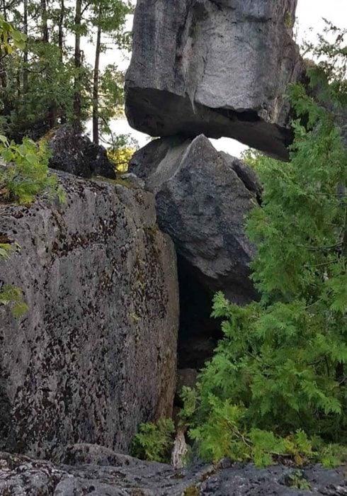
Bruce Trail Day: Waazh Miikaans (Cave Trail)
https://hikes.brucetrail.org/event/bruce-trail-day-waazh-miikaans-cave-trail/Sorry, the registration cut-off time for this hike has been reached.Not a member? Click here to join today!Hosting Club: Peninsula
Location (Google Maps): Cape Croker Park Pavilion, 112 Park Rd, Wiarton, ON N0H 2T0
Hike Leader(s): Tainin Hopkinson Click here to contact Hike Leader(s)
Pace: Leisurely (2.0 – 3.0 km/h): A relaxed pace with frequent breaks and a focus on enjoyment., Medium (3.0 – 4.5 km/h): A comfortable pace for most hikers with steady progress.
Terrain: Difficult: Steep ascents/descents, rocky scrambling, and some rugged escarpment paths., Easy: Flat forested sections or lowland trails., Moderate: Rolling hills, mild slopes and rocky paths.Description
Hike with us on annual Bruce Trail Day – a day to celebrate the Niagara Escarpment and Bruce Trail. Tainin will introduce you to the Waazh Miikaans (Cave Trail) and share their knowledge about the cultural and ecological significance of this special trail with you. Sturdy footwear and good balance are required. Meet at Cape Croker Park Pavilion. The parking fee is waived for Bruce Trail Day participants. Check in at the Park Registration office upon arrival for direction to the Pavilion.Join us for light refreshments before the hike – anytime after 12 noon. Please help us reduce waste and bring your own reusable mug, bowl and utensils.
Thank you to Cape Croker Park for waiving the parking fee for Bruce Trail Day participants.
This hike is part of Bruce Trail Day, which celebrates connections on the Trail. This year, we’re highlighting the connections we have with nature and one other – from the people we meet along the way to those indigenous populations who have been here since time immemorial and continue to act as stewards and connect us with the land.
- 06October 6, 2025
8:30 am Hydro Hill Training
https://hikes.brucetrail.org/event/830-am-hydro-hill-training-9/Sorry, the registration cut-off time for this hike has been reached.Not a member? Click here to join today!Hosting Club: Niagara
Category: In and Out
Location (Google Maps):Lockhart Drive, St Catharines, by the large yellow swing gate.
Hike Leader(s): Suzanne Gourluck Click here to contact Hike Leader(s)
Pace: Brisk
Terrain: Strenuous
Distance: 6 kmsDescription
This challenging “hike” is intended for those wishing to train for future challenging hikes. Choose your own pace to go up and down the moderately steep hill over 60 minutes. The terrain is a hard packed gravel surface. Feel free to bring light weights to increase the intensity of your training. Bring water, hiking poles, snack and dress for the weather.Novice Hikers - Fall Series of 10 Hikes in Dufferin, Hike 5
https://hikes.brucetrail.org/event/novice-hikers-fall-series-of-10-hikes-in-dufferin-hike-5/Sorry, the registration cut-off time for this hike has been reached.Not a member? Click here to join today!Hosting Club: Caledon Hills
Category: Introductory
Location (Google Maps): Meet at parking lot at km 28.3 on 1st Line E. Map 20Hike Leader(s): Nancy Mooney Click here to contact Hike Leader(s)
Pace: Leisurely – 3 km/hour or less, Medium – 3 to 4 km/hour
Terrain: Moderate – some hills and/or some poor footing
Distance: 6.9 km loopDescription
This is the fifth hike in the fall Dufferin series and will take us along the Bibbulmun Friendship trail, with boardwalks and bridges and views of the Boyne Valley.
🌕 Full Moon Hike Series: Part 1 of 7 🌕 Cape Chin - Hike & History
https://hikes.brucetrail.org/event/%f0%9f%8c%95-full-moon-hike-series-part-1-of-7/Sorry, the registration cut-off time for this hike has been reached.Not a member? Click here to join today!Hosting Club: Peninsula
Category: Moonlit Hike Series
Location (Google Maps): 388 Cape Chin North Rd – New parking area. Just past the Cape Chin Micro Farm.Hike Leader(s): Bill Floyd Click here to contact Hike Leader(s)
Pace: Leisurely (2.0 – 3.0 km/h): A relaxed pace with frequent breaks and a focus on enjoyment.
Terrain: Easy: Flat forested sections or lowland trails.
Distance: 6km (in/out)Description
🌕Full Moon Hike Series: Part 1 of 7 🌕 Cape Chin – Hike & HistoryJoin us for a captivating evening hike through MapleCross Nature Reserve at Cape Chin!
We’ll traverse a scenic 3 km flat trail that meanders through beautiful forest and meadow areas, culminating at a stunning architecturally-designed home on the estate (Fox House). This is the perfect spot to take a break and soak in the breathtaking views of Georgian Bay—especially under the glow of the full moon! We will also be accompanied by Brenda Stewart, the PBTC’s archivist, will share the history of the area – early settlers, lumber industry, and the construction of the Fox House estate. Bring something to sit on, a snack, water or hot beverage.
Date: Monday, Oct 6th
Time: 6:00pm
Moonrise: 6:34 pm (it’s the first of three Supermoons)
Sunset: 7:00pm
Hike length: 6 km (in/out).
Duration: 2.5 hours
Location: Cape Chin Trailhead. Parking at new parking lot. Just past the Cape Chin Micro Farm
Badge Alert:
- New this year – earn a Full Moon Hiking badge by joining 4 of the 7 hikes in this Full Moon Hiking Series.
What to bring:
- Illuminate the path with a red light headlamp (or flashlight).
- Sturdy boots
- Appropriate clothing for the weather conditions (layers are great)
- Hiking poles could be helpful (but not mandatory)
- something to sit on, snack, water or hot beverage
Don’t miss this opportunity to connect with nature, enjoy the night sky, and learn about some local history ! We hope for clear skies to make the evening even more special …. it’s a supermoon!
Full Moon Hiking Series
Monday, October 6th – Cape Chin: Hike & History
Wednesday, November 5th – Cape Crocker (posted) Supermoon
Saturday, December 6th – Black Creek Provincial Park (posted shortly) Supermoon
Note: Jan – Apr hikes will start being posted in December
Saturday, January 3rd
Sunday, February 1st
Tuesday, March 3rd
Wednesday, April 1st
- 07October 7, 2025
8:00 Long Hike Wiley Road Short Hills
https://hikes.brucetrail.org/event/800-long-hike-wiley-road-short-hills-16/Sorry, the registration cut-off time for this hike has been reached.Not a member? Click here to join today!Hosting Club: Niagara
Category: Loop
Location (Google Maps):Short Hills Wiley Road Entrance
Hike Leader(s): Alan Laver Click here to contact Hike Leader(s)
Pace: Medium
Terrain: Moderate
Distance: 10kmDescription
Explore Short Hills and the majestic side trails of Scarlett Tanager, Hemlock. Swayze Falls and Terrace. Register for each hikeBring Poles, , snack, and dress for the weather
Urban Walk: Valley View Park Thornhill
https://hikes.brucetrail.org/event/urban-walk-valley-view-park-thornhill-108/Sorry, the registration cut-off time for this hike has been reached.Not a member? Click here to join today!Hosting Club: Toronto
Location (Google Maps): Parking lot is off Sycamore Drive East of Bayview , across Starbucks plaza
Bus 91 from Finch east station stops at Sycamore station.Hike Leader(s): Mohammad Aghamiri Click here to contact Hike Leader(s)
Pace: Moderate (3-4 km/hr)
Terrain: Hilly, Level 2 (Intermediate – some hills and uneven surfaces, rocks and roots underfoot), Variable
Distance: 7-8 kmDescription
We will explore Valleyview and Maple View parks, and walk along German Mill Creak, in return we stop in Huntington park and have snack under beautiful shed ,Even it is considered Urban walk, it is urban hike as we have some up and down hills and tree roots, please bring your hiking poles, water and snacks,
phone number for the day of hike 289 588 6482
9:15 Short Hike - Short Hills Park, Pelham Rd
https://hikes.brucetrail.org/event/915-short-hike-short-hills-park-pelham-rd-30/Sorry, the registration cut-off time for this hike has been reached.Not a member? Click here to join today!Hosting Club: Niagara
Category: Hike
Location (Google Maps): Pelham Rd entrance, Short Hills Provincial ParkPace: Medium
Terrain: Moderate
Distance: 8 kmsDescription
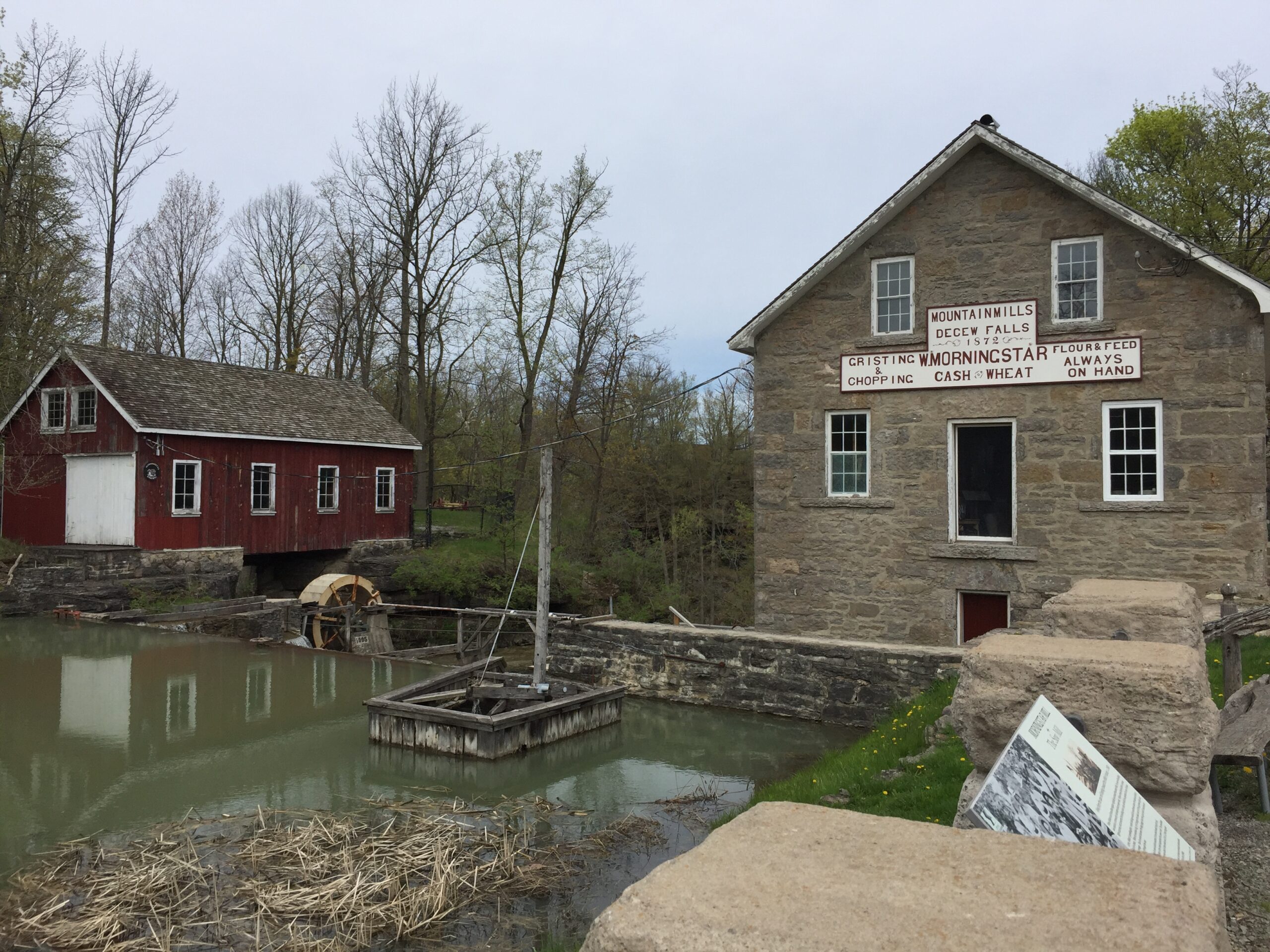
- Hike to DeCew Falls and back, up to 2 hours. (weather permitting). Bring hiking boots, water, sunscreen and bug spray.
Duncan Caves/Metcalf Rock Loop
https://hikes.brucetrail.org/event/duncan-caves-metcalf-rock-loop/Sorry, the registration cut-off time for this hike has been reached.Not a member? Click here to join today!Hosting Club: Dufferin Hi-Land
Category: Tuesday Hike
Location (Google Maps):(Google Maps): Beaver Valley Section Map 25. We will meet at the SuperBurger parking lot (north-west corner of Hwy 89/Hwy 10 intersection) for carpooling at 8:30 am. Otherwise meet at the parking area at km 27.9, 100 meters south of where the Main Trail crosses the 10th Line on the east side for a 9:30 start.
Hike Leader(s): Tony Evangelista, Inge Eckerich, Julie Daley, Les Babbage Click here to contact Hike Leader(s)
Pace: Leisurely
Terrain: Dependent on Conditions, Moderate
Distance: Long Hike 10 km Short Hike 5 kmDescription
We will hike through the Duncan Caves Provincial Nature Reserve and the Chuck Grant Side Trail/Main Trail Loop. The short hike will end at the parking area at km 33.3 and car shuttle back to Metcalfe Rock parking.Bring lunch, water and snacks. Sunscreen, insect repellant and hiking poles are recommended.
North of Limehouse - new trails
https://hikes.brucetrail.org/event/north-of-limehouse-new-trails/Sorry, the registration cut-off time for this hike has been reached.Not a member? Click here to join today!Hosting Club: Caledon Hills
Category: Tuesday Hikers
Location (Google Maps): Meet at roadside parking on Fourth Line Map 12, km 17.4. From Trafalgar Rd. near Stewarttown drive west on 15 Sideroad for 5 km then turn right on Fourth Line. Drive north 3 km to roadside parking where the Main Trail crosses the road.Hike Leader(s): Peter Leeney Click here to contact Hike Leader(s)
Pace: Medium – 3 to 4 km/hour
Terrain: Easy – mostly flat and usually good footing
Distance: 11 kmDescription
We will do a short car shuttle to roadside parking on Fifth Line at the new Beeney Creek Side Trail then hike back on new Main and side trails north of Limehouse and then through Hole-in-the Wall back to Fourth Line.
Beaver Valley E2E in 8 (new badge!!!)
https://hikes.brucetrail.org/event/beaver-valley-e2e-in-8-new-badge/Sorry, the registration cut-off time for this hike has been reached.Not a member? Click here to join today!Hike open to BTC Members only.
This is a Multi-Day Hike
You are signing up for the following dates:
2025-10-07, 2025-10-14, 2025-10-28, 2025-11-04, 2025-11-25, 2025-12-02, 2025-12-09, 2025-12-16Hosting Club: Beaver Valley
Location (Google Maps): First hike will meet at km 71.7 (Johnston’s Sideroad, BTC parking lot)
Map 26 E31Hike Leader(s): Kristina Rettie Click here to contact the hike leader.
Pace: Brisk
Terrain: Some rocky footing, Some steep sections, Strenuous
Length of Hike: between 14k-18k per hike, brisk 4-5km/hrDescription
Welcome to Beaver Valley,The goal of this hike is to earn the NEW BEAVER VALLEY APPLE TREE BADGE! If you would prefer to receive the Stained Glass Badge please let me know and bring an additional $20 with you so I can get it ordered for badge day.
The Tuesday Trekkers will achieve one of these badges by hiking all 8 Tuesdays in this series. As life sometimes can be interrupted and you need to bail on a hike please don’t stress. You can make up two hikes on your own and still qualify for the badge on the final day. Please keep a log of the missed hikes and get them to me by the last day.
The fee goes towards supporting the Beaver Valley Bruce Trail Club, which in turn supports the mission of the Bruce Trail Conservancy, which is: “Preserving a ribbon of wilderness, for everyone, forever.”
For the time being, registration for the Beaver Valley E2E in 8 will be limited to members of the Bruce Trail Conservancy. Hikers can belong to any section.
Please note there are no refunds!
This particular set of 8 hikes is intended to be BRISK (4K-5K PER HOUR) Please be honest about your degree of physical fitness prior to registration.
All hikes in this series will include a car shuttle and everyone will take a turn as a shuttle driver. Experience with hiking 16k/day at a brisk pace (4-5km/hr) is essential. Ideally we will hike from km0 to km119.9 over the series of 8 hikes but as conditions change and parking issues arise I will ask you to be flexible with the routes and trust my judgment. You will receive an e-mail outlining meeting location and start location for each hike as well as any other information needed closer to the start of the hike event.
We will have a clothing adjustment break, and 2 snack/lunch breaks of 10 min each. Please have your water accessible while hiking (water bladder recommended)
There will be plenty of opportunity for photos. I recommend having your camera/phone accessible to get all those great shots.
No dogs!
Other Guidelines
- Arrive 15 minutes before the start of the hike.
- Wear sturdy footwear and appropriate attire for the weather and the terrain.
Hiking poles are a good idea in any season, especially if the terrain is rocky or slippery. In winter, snowshoes or icers/crampons are needed when conditions dictate.
Wearing appropriate clothing and footwear prevents injuries and shows consideration for a safe and positive group hiking experience. - Always carry I.D. and your health card.
- Bring sufficient water and snacks (or lunch if indicated). A minimum of 1L of water is recommended on all hikes, and 3L is recommended for long, challenging hikes in the heat of the summer.
- Bring sunscreen and insect repellent (for spring and summer hikes).
- Bring your own first aid kit.
- Please leave dogs at home.
Walk In Nature Series (WINS) - West Rocks, Derby Forest
https://hikes.brucetrail.org/event/walk-in-nature-series-wins-west-rocks-derby-forest/Sorry, the registration cut-off time for this hike has been reached.Not a member? Click here to join today!Hosting Club: Sydenham
Category: General Hike
Location (Google Maps): Parking area at the end of Concession 3, Georgian Bluffs. From the corner of Concession 3 and Grey Road 5, near Creamery HIll, drive 1.7 km north along Concession 3 to roadside parking at the end of the road.Hike Leader(s): Stewart Brown Click here to contact Hike Leader(s)
Pace: Medium: 3 to 4 km/h
Terrain: Easy: Mostly flat and good footing.
Distance: 4 kmDescription
The Walk In Nature Series (WINS) consists of short loop hikes in the Sydenham section of the Bruce Trail that combine nature appreciation with fitness in a safe and welcoming group environment led by an experienced hike leader. Consider these hikes to be 90 minute reset appointments with yourself in nature that promote health and fitness. Medium paced WINS hikes are open to all ages and levels of hiking experience whether members or non-members of the Bruce Trail Conservancy (BTC).This hike, close to Owen Sound, loops through a network of forested trails. As a follow-up to last month’s hike from the same start point, this time we will hike the trails on the west or left side of the road allowance, The Derby Forest Tract, one of the Grey County Forests. This quite mature forest is an interesting mix of conifers and deciduous trees which will boast colours across the spectrum.
Our 4 km loop follows the red trail, then parallel to the main Bruce Trail, and finally along the path on the road allowance to parking.
Thanks, and see you soon.
7:00 pm Moonlight Night Hike in Niagara-on-the-Lake
https://hikes.brucetrail.org/event/700-pm-moonlight-night-hike-in-niagara-on-the-lake-11/Sorry, the registration cut-off time for this hike has been reached.Not a member? Click here to join today!Hosting Club: Niagara
Category: Night
Location (Google Maps):Veteran’s Memorial Park, park just outside the park on King St.
Hike Leader(s): Robin Garrett Click here to contact Hike Leader(s)
Pace: Medium
Terrain: Easy
Distance: 6-7 kmDescription
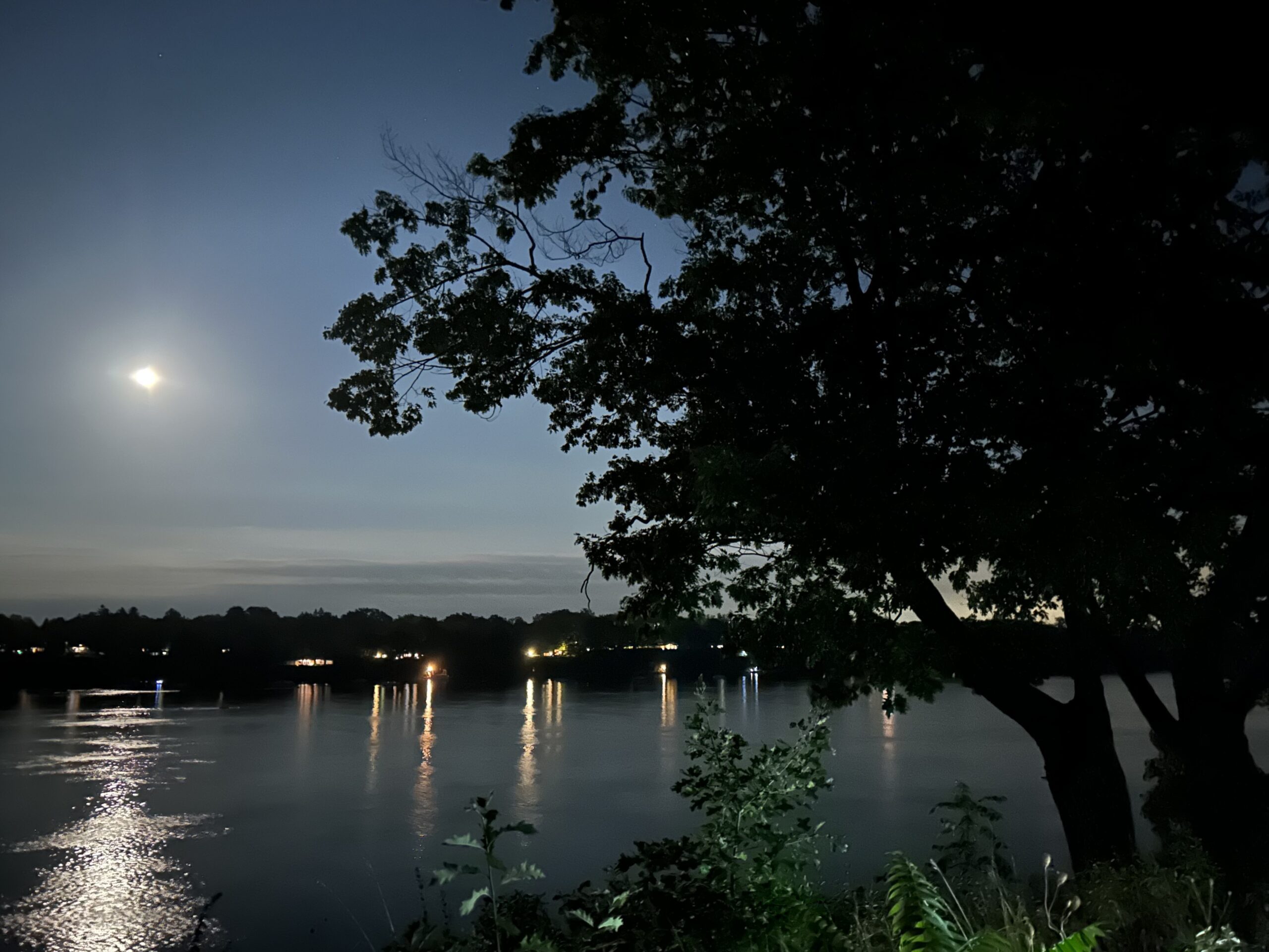
Moonlight Night Hike – Take in the magic of the rising moon over Lake Ontario and the Niagara River. This hike includes a stop to connect with your senses – sights, sounds, smells and the rhythm of your breath. Counts towards your night hike badge (5 night hikes). - 08October 8, 2025
Fall Colors Hike Petun Conservation to Pretty River Provincial Park Lookouts
https://hikes.brucetrail.org/event/fall-colors-hike-petun-conservation-to-pretty-river-provincial-park-lookouts/Sorry, the registration cut-off time for this hike has been reached.Not a member? Click here to join today!Hosting Club: Blue Mountains
Category: Organized Hike
Location (Google Maps): Tim Horton’s, First Street CollingwoodHike Leader(s): David Little Click here to contact Hike Leader(s)
Pace: Medium – 3 to 4 km/hr
Terrain: Moderate – Some hills and/or some poor footing
Distance: 9.5 kmDescription
Enjoy spectacular fall colors from three scenic lookouts on the Pretty River Provincial Park upper level. We will begin at the 3 Stage parking lot towards the highpoints overlooking Clearview Township and the Pretty River Valley, taking in sweeping views of the autumn forest in full color. We will then go to the Fern Crevice property and see the many ferns including the Hart’s Tongue Fern – species of special concern, to complete the loop back to the parking lot.WEDNESDAY WALKERS - Valley Crest and Sligo Side Trail
https://hikes.brucetrail.org/event/wednesday-walkers-valley-crest-and-sligo-side-trail-2/Sorry, the registration cut-off time for this hike has been reached.Not a member? Click here to join today!Hosting Club: Beaver Valley
Location (Google Maps): Meet on the south side shoulder of Sideroad 19 at Km 92.3 Map 27 Edition 31
Hike Leader(s): Margaret Yaraskavitch Click here to contact the hike leader.
Pace: Medium
Terrain: Moderate
Length of Hike: 8 kmsDescription
This hike is a little longer than other Wednesday Walker hikes but the terrain is quite flat. We’ll walk through strips of BTC protected land near fields with views across the Valley. From there, we use the Sligo Side Trail and then loop back on to the Main Trail. On this route, we’ll stop in a couple of places to talk about (historic) tree planting practices.Guidelines
- Arrive 15 minutes before the start of the hike.
- Wear sturdy footwear and appropriate attire for the weather and the terrain.
Hiking poles are a good idea in any season, especially if the terrain is rocky or slippery. In winter, snowshoes or icers/crampons are needed when conditions dictate.
Wearing appropriate clothing and footwear prevents injuries and shows consideration for a safe and positive group hiking experience. - Always carry I.D. and your health card.
- Bring sufficient water and snacks (or lunch if indicated). A minimum of 1L of water is recommended on all hikes, and 3L is recommended for long, challenging hikes in the heat of the summer.
- Bring sunscreen and insect repellent (for spring and summer hikes).
- Bring your own first aid kit.
- Please leave dogs at home.
Crawford Lake Circuit
https://hikes.brucetrail.org/event/crawford-lake-circuit/Sorry, the registration cut-off time for this hike has been reached.Not a member? Click here to join today!Hosting Club: Iroquoia
Category: Good Companions
Location (Google Maps): Crawford Lake Conservation Area, 3115 Conservation Rd., east off of Guelph LineHike Leader(s): Anne Armstrong Click here to contact Hike Leader(s)
Pace: Leisurely – 3km/hr or less
Terrain: Moderate – Some hills and/or some poor footing
Distance: Approx. 8 km.Description
Crawford Lake is a jewel of the Halton Conservation Authority properties. With its spectacular views across Nassagaweya Canyon, its Meromictic Lake, Indian Village and beautiful trails, it has something for everyone, including gorgeous Fall colours.
Join in this hike using a combination of side and main Bruce trails as well as Conservation Area trails. Meet in the lower parking lot at 9:45 am. for 10:00 am. start. Bring water, a snack and sunscreen. If you use them, your hiking poles may be useful. Optional lunch stop afterwards. A Halton Parks reservation is needed, better done ahead of time. I will send out an email containing my contact information the day before the hike. - 09October 9, 2025
8:00 am Long Hike Cave Spring Conservation Area
https://hikes.brucetrail.org/event/800-am-long-hike-cave-spring-conservation-area-15/Sorry, the registration cut-off time for this hike has been reached.Not a member? Click here to join today!Hosting Club: Niagara
Category: In and Out
Location (Google Maps):Cave Spring Conservation Area
Hike Leader(s): Alan Laver Click here to contact Hike Leader(s)
Pace: Medium
Terrain: Moderate
Distance: 10kDescription
This will be our permanent Thursday Location until Bridge repairs complete. From Cave Spring Conservation Area explore the trail network on the escarpment towards Kinsman Park and Moyer Road.You must register for each hike. Bring Poles, snack and a drink. Dress for the weather
Urban Walk Valley View Park Thornhill
https://hikes.brucetrail.org/event/urban-walk-valley-view-park-thornhill-109/Sorry, the registration cut-off time for this hike has been reached.Not a member? Click here to join today!Hosting Club: Toronto
Location (Google Maps): Parking lot is off Sycamore Drive East of Bayview , across Starbucks plaza
Bus 91 from Finch east station stops at Sycamore station.Hike Leader(s): Mohammad Aghamiri Click here to contact Hike Leader(s)
Pace: Moderate (3-4 km/hr)
Terrain: Hilly, Level 2 (Intermediate – some hills and uneven surfaces, rocks and roots underfoot), Variable
Distance: 7-8 kmDescription
We will explore Valleyview and Maple View parks, and walk along German Mill Creak, in return we stop in Huntington park and have snack under beautiful shed ,Even it is considered Urban walk, it is urban hike as we have some up and down hills and tree roots, please bring your hiking poles, water and snacks,
phone number for the day of hike 289 588 6482
Hiking in and around Jordan
https://hikes.brucetrail.org/event/hiking-in-and-around-jordan-9/Sorry, the registration cut-off time for this hike has been reached.Not a member? Click here to join today!Hosting Club: Niagara
Location (Google Maps): 3649 Glen Road, Lincoln LOR 1SO
Hike Leader(s): Bill Russell Click here to contact Hike Leader(s)
Pace: Medium
Terrain: Moderate
Distance: 7 kmDescription
Hiking in and around Jordan hiking different trails each week – Jim Rainforth Trail, Bailey Bridge and Jordan Village and Balls Falls.Novice Hikers - Fall Series of 10 Hikes in Dufferin, Hike 6
https://hikes.brucetrail.org/event/novice-hikers-fall-series-of-10-hikes-in-dufferin-hike-6/Sorry, the registration cut-off time for this hike has been reached.Not a member? Click here to join today!Hosting Club: Caledon Hills
Category: Introductory
Location (Google Maps): Meet at BTC Parking Area northeast of km 8.9 off of 2nd Line EHS at the beginning of the Splitrock Trail. Map 19Hike Leader(s): Nancy Mooney Click here to contact Hike Leader(s)
Pace: Leisurely – 3 km/hour or less, Medium – 3 to 4 km/hour
Terrain: Easy – mostly flat and usually good footing, Moderate – some hills and/or some poor footing
Distance: 7.5 km loopDescription
This is the sixth hike in the Dufferin fall series and will explore Splitrock Narrows crevice and McCarston’s Lake. - 10October 10, 2025

Niagara-on-the-Lake Tour - Butler History
https://hikes.brucetrail.org/event/niagara-on-the-lake-tour-butler-history/Sorry, the registration cut-off time for this hike has been reached.Not a member? Click here to join today!Hosting Club: Niagara
Category: Urban
Location (Google Maps): Park on King St near Centre St at the entrance to Veteran’s Memorial Park, Niagara-on-the-LakeHike Leader(s): Margaret Northfield Click here to contact Hike Leader(s)
Pace: Medium
Terrain: Easy
Distance: 5-6kmDescription
Who was John Butler and why are there so many places and things named after him? We will walk around town to explore the history on NOTL.Plan to stay after the hike to social with a coffee or treat at Sweets & Swirls Cafe, inside the Community Centre, 14 Anderson Lane, NOTL
The Glen Cross/Cam Snell side trails
https://hikes.brucetrail.org/event/the-glen-cross-cam-snell-side-trails/Sorry, the registration cut-off time for this hike has been reached.Not a member? Click here to join today!Hosting Club: Blue Mountains
Category: Organized Hike
Location (Google Maps): Tim Horton’s First Street, CollingwoodHike Leader(s): Gordon Sheppard Click here to contact Hike Leader(s)
Pace: Leisurely – 3 km/hr. or less
Terrain: Moderate – Some hills and/or some poor footing
Distance: 7 kmDescription
The Glen Cross/Cam Snell side trails are easy to moderate loop trails. There are some short, steep climbs, but the trail footing is good. The trails are dry unless there has been a recent downpour. There are opportunities for great views of the Hockley Valley, some glades and wetlands, and some river views of the north and south branches of the Nottawasaga River. This will be a moderately paced hike so that the views can be enjoyed and photographed, and there’ll be a stop with enough time for a snack.There is an option to stop at the Mono Centre Brewery on the way home to relax and slake your thirst. The brewery is located just under 2 km’s west of Airport Rd, on Dufferin Rd 8 (Mono Centre Rd).
The trailhead for the Glen Cross side trail, which is the starting point, is on 3rd Line EHS, 1 km north of Hockley Rd. GPS coordinates are 43.9229 -80.04809 Car pooling is advised as parking at the trailhead is limited.Hilton Falls - Halton Agreement Forest
https://hikes.brucetrail.org/event/hilton-falls-halton-agreement-forest-3/Sorry, the registration cut-off time for this hike has been reached.Not a member? Click here to join today!Hosting Club: Dufferin Hi-Land
Category: General Hike
Location (Google Maps): Intersection of 10 Side Road and Fourth Line just east of Guelph Line and north of the 401. See Google Maps function in this Hike Description for GPS.Hike Leader(s): Stuart Law Click here to contact Hike Leader(s)
Pace: Medium
Terrain: Moderate
Distance: 17 kmsDescription
Join us for a Fall colours hike at the top of the Sixteen Mile Creek watershed in the Halton Agreement Forest. Please bring 2L of water, a snack, a lunch, bug spray, and a smile. Hiking boots mandatory.
Kelso Summit (reservation required)
https://hikes.brucetrail.org/event/kelso-summit-reservation-required-4/Sorry, the registration cut-off time for this hike has been reached.Not a member? Click here to join today!Hosting Club: Iroquoia
Category: General Hike
Location (Google Maps): Kelso Summit parking lot at 9:15 am (reservation required)Hike Leader(s): Karen Bergmann Click here to contact Hike Leader(s)
Pace: Medium – 3 to 4 km/hr
Terrain: Moderate – Some hills and/or some poor footing
Distance: 8 kmsDescription
We will explore the trails for a large loop. Reserve your time at conservationhalton.ca for KELSO SUMMIT.Hotspots Loop
https://hikes.brucetrail.org/event/hotspots-loop/Sorry, the registration cut-off time for this hike has been reached.Not a member? Click here to join today!Hosting Club: Sydenham
Category: General Hike
Location (Google Maps): Utility tower lot on hwy 6 near Centennial Tower – please see parking details below.Hike Leader(s): Cindy Paczkowski Click here to contact Hike Leader(s)
Pace: Leisurely: 3 km/h or less
Terrain: Strenuous: Hilly with steep climbs and some poor footing., There might be muddy sections., There might be sections with water on the trail.
Distance: Approximately 12 kmDescription
This is an ambitious hike that will hit some key hotspots in the Sydenham section. We will descend from the tower lot parking past Centennial tower, hopeful we can get some colourful views of fall foliage over the town at higher elevation. We will head southward towards the Pallisades Loop and then take it to the Harrison Park side trail and then to Creamery Hill. We will get back onto the white trail and head towards Inglis Falls and then northward back to our cars. Hiking shoes/boots are a must. Poles are recommended. Bring a lunch and lots of water. - 11October 11, 2025

Fall Colours Three-day Club End-to-End
https://hikes.brucetrail.org/event/fall-colours-three-day-club-end-to-end/Sorry, the registration cut-off time for this hike has been reached.Not a member? Click here to join today!This is a Multi-Day Hike
You are signing up for the following dates:
2025-10-11, 2025-10-12, 2025-10-13Hosting Club: Caledon Hills
Category: End-to-End
Location (Google Maps): On Saturday, meet at the Fung Loy Kok Taoist Tai Chi-International Centre
248305 Side Road 5, Mono, ON L9W 6C3, 43.975421, -79.989252.
From Airport Road, turn east onto Side Road 5. Drive 270 metres to the entrance of the International Centre on the left. Enter the driveway and head straight for approximately 50 metres. Parking is in a field on the right.
Note: The buildings and facilities of the International Centre are off-limits to participants during this Bruce Trail event.Hike Leader(s): Sandy Green Click here to contact Hike Leader(s)
Pace: Brisk – 4 to 5 km/hour
Terrain: Strenuous – hilly with steep climbs and some poor footing
Distance: 27.0 kilometresDescription
Experience the spectacular fall colours while completing the 72.4 kilometres of the Caledon Hills section of Trail over the Thanksgiving long weekend. Bus shuttles for the three days and a beautiful finisher’s commemorative badge are included in the registration fee. Refreshments and beverages will be served at checkpoints every 7 – 11 kilometres. Participants are expected to hike at a minimum pace of 4 km/hr.Description:
The buses leave at 8:00 a.m. sharp, each day. Please plan to arrive at least 20 – 30 minutes before the departure time.
On Saturday, meet at the Fung Loy Kok Taoist Tai Chi-International Centre, 248305 Side Road 5, Mono, ON L9W 6C3, 43.975421, -79.989252.
From Airport Road, turn east onto Side Road 5. Drive 270 metres to the entrance of the International Centre on the left. Enter the driveway and head straight for approximately 50 metres. Parking is in a field on the right.
The bus will take participants to the northern end of the Caledon Hills section, at County Rd. 8. The group will then hike southbound, back to the International Centre.
Checkpoints are located 11.3 km, 18.2 km (Cut-off Time: 1:30 pm), and 26.9 km into the hike.
On Sunday, meet at km 20.8, the north/east corner of Escarpment Side Road and Heart Lake Road. Park on the north side of Escarpment Side Road, well off of the road, 43.859911, -79.947606.
The bus will take hikers to km 0.0 on Creditview Road. Participants will then hike northbound back to the meeting place on Escarpment Side Road.
Checkpoints are located 9.5 km (Cut-off Time: 11:15 am) and 20.8 km into the hike.
On Monday, meet at the Fung Loy Kok Taoist Tai Chi-International Centre.
The bus will take participants to Escarpment Side Road and Heart Lake Road. Everyone will then hike northbound back to the International Centre.
Checkpoints are located 10.7 km, 18.4 km (Cut-off Time: 1:30 pm), and 25.1 km into the hike.
For further details visit caledonbrucetrail.ca.
School Bus Hike: Iroquoia In 8 (2/8)
https://hikes.brucetrail.org/event/school-bus-hike-iroquoia-in-8-2-8/Sorry, the registration cut-off time for this hike has been reached.Not a member? Click here to join today!Trip Information
Departure Time: 08:30
Return to City Time: 18:30
Departure Point: Kipling Departure PointOptional Items
Hosting Club: Toronto
Category: Bus Hike
Location (Google Maps): Km 15.7 to 29.5 (Stoney Creek to East Hamilton) Bruce Trail Reference Guide 31st ed. Maps 6 and 7Hike Leader(s): Tom Swales, Michael Humpage Click here to contact Hike Leader(s)
Pace: Moderate (3-4 km/hr)
Terrain: Hilly, Level 2 (Intermediate – some hills and uneven surfaces, rocks and roots underfoot), Rocky, Variable
Distance: 16 kmDescription
Hike #2 of our Iroquia in 8 E2E series. We begin in Stoney Creek continuing along the escarpment. We will make a side trip to view the Devil’s Punchbowl. We continue past Felker’s Falls, and through Red Hill Valley finishing in east Hamilton. Time permitting there will be a refreshment stop in the Hamilton area.** This hike is meant for hikers coming on the bus from Kipling Subway station only **
9:00 Port Dalhousie - from Jaycee Gardens and back
https://hikes.brucetrail.org/event/900-port-dalhousie-from-jaycee-gardens-and-back/Sorry, the registration cut-off time for this hike has been reached.Not a member? Click here to join today!Hosting Club: Niagara
Category: Urban
Location (Google Maps):Jaycee Gardens Park, 543 Ontario St., St Catharines, L2N 4N4
Hike Leader(s): Karen Couch Click here to contact Hike Leader(s)
Pace: Medium
Terrain: Easy
Distance: 10 kmDescription
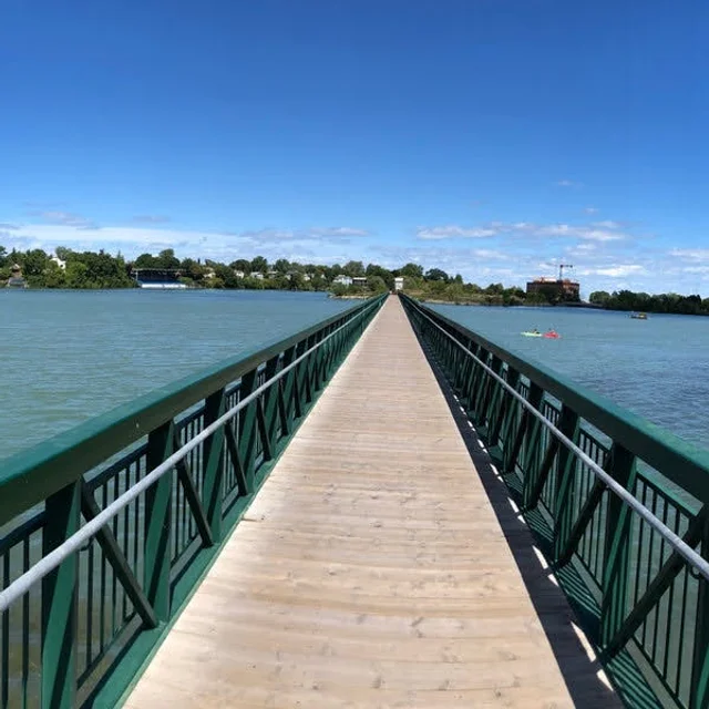
This urban hike will form a loop, from Jaycee Gardens, crossing over Martindale Pond, then winding through town to the Green Ribbon Trail and then back, close to Lake Ontario.
Beaver Valley Water Falling Hike – 2-Day Autumn Adventure
https://hikes.brucetrail.org/event/beaver-valley-water-falling-hike-2-day-autumn-adventure/Sorry, the registration cut-off time for this hike has been reached.Not a member? Click here to join today!This is a Multi-Day Hike
You are signing up for the following dates:
2025-10-11, 2025-10-18Hosting Club: Iroquoia, Beaver Valley
Category: City of Waterfalls – Special Event Fundraiser
Location (Google Maps): We will meet in the parking lot of Beaver Valley Ski club and we will shuttle to the starting point at Hogg’s Falls, in both days. On one Saturday hiking on the East side of the Valley and next one hiking on the West side of the Valley.Hike Leader(s): Corina Seceleanu Click here to contact Hike Leader(s)
Pace: Medium – 3 to 4 km/hr
Terrain: Moderate – Some hills and/or some poor footing
Distance: 31.52 over 2 daysDescription
Celebrate the vibrant fall colours of the Beaver Valley with a scenic 2-day hike, filled with waterfalls, camaraderie, and crisp autumn air. Open to all nature enthusiasts!🕘 Start Time: Meet at 9:00 AM each day
🚗 Shuttle: Depart by 9:15 AM. Hikers will rotate driving duties to return cars post-hike.
🏞️ Hike Duration: 2 days of immersive trail exploration – rain or shine!🎖️ Completion Badge : “Falling Water 2 days Hike”.
- Members: $10
- Non-members: $15
🥾 What to Bring:
- Layered clothing
- Hiking boots
- Poles
- Hat & rain gear
- Sunscreen & bug spray
- Plenty of water, snacks & lunch
Get ready for golden leaves, misty waterfalls, and the satisfaction of conquering the trail together!
More info will be provided , close to the date!
Happy Trails Everyone!
e.

RAINBOW HIKE: Fall Colours - Felkers & Devil's Punch Bowl
https://hikes.brucetrail.org/event/rainbow-hike-fall-colours-felkers-devils-punch-bowl/Sorry, the registration cut-off time for this hike has been reached.Not a member? Click here to join today!Hosting Club: Iroquoia
Category: Rainbow Hike
Location (Google Maps): Red Hill Valley South Parking Lot, Mud StreetHike Leader(s): Doug O’Neill Click here to contact Hike Leader(s)
Pace: Medium – 3 to 4 km/hr
Terrain: Easy – Mostly flat and usually good footing, Moderate – Some hills and/or some poor footing, Strenuous – Hilly with steep climbs and some poor footing
Distance: 11-12 km (approx)Description
- UPDATE
Due to the forecasts of risk of thunderstorms, we’ll need to reschedule this Oct. 11 hike.
Join this 2SLGBTQIA+ friendly Rainbow hike smack dab in the middle of fall foliage season!
UPDATED ROUTE:
Everyone will meet at the Red Hill South Parking Lot (at Mud & Pritchard) no later than 8:45 a.m. for a 9 a.m. departure (sharp). We’ll quickly divide ourselves into 4 or 5 vehicles for the 15-minute shuttle to Devil’s Punchbowl, where we’ll start the hike and end back at Mud & Pritchard. (We’ll be hiking westward from Devil’s Punchbowl instead of eastward as per earlier listing.)Why this route: You get to explore Devil’s Punchbowl, a geological treasure formed in the last Ice Age, after which we’ll hike through significant stands of deciduous trees (lots of maple—which we hope will be at their peak of fall colours), and at least three waterfalls.
Terrain: Expect a few hills, some paved (unused) roadway, and dirt paths along the Bruce Trail (main trail) overlooking the east branch of Red Hill Creek.
“THE WONDERS OF DEVIL’S PUNCHBOWL IN 10”
Upon arrival at Devil’s Punchbowl, fellow Hike Leader Ann Grindall will draw on her geology expertise to unravel some of the mysteries of this amazing 37-metre “ribbon waterfall” formation:• Learn how this massive amphitheatre-shaped gorge was carved into the Niagara Escarpment, exposing over 40 million years of geological history
• The visible rock strata: why it looks like a natural “layer cake” of shale, dolostone, sandstone, and limestone
• How it’s two waterfalls, not one—both formed in the last Ice Age
• Ann will be pleased to answer any questions!Parking: Free at Red Hill South Parking Lot (at Mud & Pritchard); $8.50 per vehicle at Devil’s Punchbowl. Two of us will use our Hamilton Conservation Authority memberships to cover admission of two large vehicles. A few volunteers have offered to shuttle the rest of the group. Those few cars will need to pay the $8.50 admission at Devil’s Punchbowl: Passengers in those cars (not the driver) should chip in to pay the parking fee ($2 or $3 bucks each).
To reach Mud & Pritchard starting point by public transit: The 21 Heritage Greene Terminal bus stops right at Mud and Pritchard. Meet in the parking lot across the road.
The Scoop on Washroom Facilities: There will be opportunities for bio breaks in the woods. There are no washroom facilities at the starting point or along the hiking route. Recommendation: If you’re starting the day with a grande java, visit a Tim Horton’s or other public washroom before you arrive at Mud & Pritchard.
Bring at least 1 litre of water, a proper lunch, sunscreen, and insect repellent. Hiking boots or sturdy footwear are essential. To avoid ticks, wear long pants.
Complimentary Bruce Trail Rainbow badges and/or stickers to all participants! Optional: a post-hike LGBTQ-friendly cafe/bar/ice-cream venue for those interested.
PLEASE CANCEL your registration if you change your mind: This is especially important if the hike has a waitlist, since your cancellation opens a spot for someone else.
Online
1. Log in to the Bruce Trail hike site with the same account you used to register.
2, Go to “My Hikes” (under your profile menu).
3, You’ll see a list of the hikes you’re registered for.
4. Click “Cancel” beside the hike you want to withdraw from.
5. You should receive a confirmation email showing your spot has been released.If you can’t log in simply use the (above) “Contact the hike leader” link. Similarly, use that link if you have any questions whatsoever about our Rainbow hikes.
St. Jacob Village Waterloo 208
https://hikes.brucetrail.org/event/car-hike-glasgow-village-uxbridge-5/Sorry, the registration cut-off time for this hike has been reached.Not a member? Click here to join today!Hosting Club: Toronto
Location (Google Maps): Healthy Valley trail park along university Ave.
Hike Leader(s): Mohammad Aghamiri Click here to contact Hike Leader(s)
Pace: Moderate (3-4 km/hr)
Terrain: Level 2 (Intermediate – some hills and uneven surfaces, rocks and roots underfoot), Variable
Distance: 12-14 kmDescription
3 in oneWe start to hike Health Valley trail off university Ave, toward St. Jacob Village after visiting this wonderful village we return to our cars and hikers have option to visit St. Jacob farmers market for eating and shopping or return home.
Carpool is highly recommended, try to carpool with your friends.
For the day of hike only my phone number is 289 588 6482.
A Journey from Étienne Brûlé Park to High Park!
https://hikes.brucetrail.org/event/a-journey-from-etienne-brule-park-to-high-park/Sorry, the registration cut-off time for this hike has been reached.Not a member? Click here to join today!Hosting Club: Toronto
Category: Urban Walk
Location (Google Maps): A Journey from Étienne Brûlé Park to High Park!Hike Leader(s): Leila Damband Click here to contact Hike Leader(s)
Pace: Moderate (3-4 km/hr)
Terrain: Level 1 (Easy – mostly on flat, well maintained trails with hard-packed surface), Variable
Distance: 14 kmDescription
Join us this Thanksgiving weekend for a hike along the Humber River, down to Humber Bay, and up to High Park as we share our love for nature.We’ll begin at the Old Mill Public Parking Lot and finish at High Park Station.
If you plan to drive, please bring your Presto Card or Visa Card to take the subway from High Park Station back to Old Mill Station after the hike.Along the way, we’ll visit the Wayne Crockett (TBTC Former Hike Leader) Tree and Bench to honor and appreciate his dedication to our community.
Please arrive at the meeting point 15 minutes early for check-in. Our route will take us through Étienne Brûlé Park, where we’ll keep an eye out for the salmon run.We’ll then continue towards Humber Bay for a lunch break, before heading to High Park where our hike will end.
The trail is a mixture of pavement and natural paths. As we’ll be sharing the trail with other users, we’ll be mindful and keep to the right at all times.
Don’t forget to bring enough water and snacks/lunch, and check the weather forecast to dress appropriately.
Looking forward to seeing you all on Saturday, October 11 at 9:45-10:00 AM.
Route map: https://onthegomap.com/s/cltbfj8s
Happy Hiking