
NOTICE: The BTC office in Dundas is closed as phone lines and internet are unexpectedly down. Our remote team remains online and available during regular business hours.
Hike Schedule
Join us for a hike! Registration required.
All hikes available to BTC members. Some hikes are open to non-members.
See Refund Policy for Paid Hikes >
TIP: The calendar view displays up to 7 hikes on a day, but often there are more. Click “View more events” to see them all.
Niagara
Iroquoia
Toronto
Caledon Hills
Dufferin Hi-Land
Blue Mountains
Beaver Valley
Sydenham
Peninsula
All Clubs
Show Filters
Categories
Reset Filters
- 12October 12, 2025

Car Hike: Exploring Uxbridge Trails With Fall Colors on Display (Wilder Forest, Walker Woods, and Glen Major Forest)
https://hikes.brucetrail.org/event/car-hike-exploring-uxbridge-trails-with-fall-colors-on-display-wilder-forest-walker-woods-and-glen-major-forest/Sorry, the registration cut-off time for this hike has been reached.Not a member? Click here to join today!Hosting Club: Toronto, Beaver Valley
Category: Car Hike
Location (Google Maps):2499 Brock Rd, Uxbridge, ON L9P 1R4. We will meet at the East Duffins Headwaters parking lot at the WILDER FOREST trail head. As soon as you got off the Brock Road, passing the horse back riding facility, there is a free designated parking lot 70 meters down the lane to your right. It includes a sign board for East Duffins Headwaters with a map of the trails. Please do not park on the lane or in the horse back riding property.
Hike Leader(s): Amir Alemohammad Click here to contact Hike Leader(s)
Pace: Moderate (3-4 km/hr)
Terrain: Flat, Hilly, Level 2 (Intermediate – some hills and uneven surfaces, rocks and roots underfoot), Variable
Distance: Approx.15-16 KmDescription
Join us for a delightful hike in Uxbridge, as we explore Wilder Forest, Walker Woods, and Glen Major Forest on a scenic loop starting from Brock Road. We’ll pass Concession Road 6, heading west and back, while also venturing onto several side trails for even more stunning views. Fall colors are on display at this time of the year.What to Expect:
•Beautiful scenic views and lookouts facing south
•A mix of hilly and flat terrain
•Frequent 2-minute breaks for hydration and photos, with a 10-20 minute lunch/snack stop
•Stay on designated trails at all time
What to Bring and Wear:
•Hiking Boots and poles (recommended) and be prepared for the bugs
•At least 2 liters of water
•Your favorite snacks and lunch (pack your own refreshments for an outdoor meal)
•Dress according to variable weather conditions!
Important Details:
•Stay on the designated trails
•Be prepared for the elements and enjoy the adventure!
Looking forward to seeing you on the trail!
Don’t forget your camera and a smile as we explore the beauty of the Uxbridge trails!
This is a joint hike with the Oak Ridges Trail Association (ORTA).
Toronto End-to-End in Four - Speyside to Scotsdale Farm
https://hikes.brucetrail.org/event/toronto-end-to-end-in-four-speyside-to-scotsdale-farm/Sorry, the registration cut-off time for this hike has been reached.Not a member? Click here to join today!Hike open to BTC Members only.
Hosting Club: Dufferin Hi-Land
Category: General Hike
Location (Google Maps): Scotsdale Farm: Enter from Trafalgar Road north of Hwy 7.Hike Leader(s): Stuart Law; Kerry Seong Click here to contact Hike Leader(s)
Pace: Medium
Terrain: Moderate
Distance: 16.6 kmsDescription
Join us on a four-hike end-to-end hike series covering the Toronto Section plus a few kilometres up to The Grange. Today’s hike is the second of that shuttle series. We will make our way on the Main Trail from Speyside to Scotsdale Farm. Please bring 2.5L of water, a snack, a lunch, and a smile. Please also bring footwear to change into after the hike and a garbage bag to put your boots in for the shuttle. Hiking boots mandatory. Poles very much recommended. It will be quite rocky in sections. Please arrive at 9 am and be ready to shuttle at 9:15 sharp.
Car Hike: #3/7 Iroquoia Bruce Trail End-to-End -21 KM
https://hikes.brucetrail.org/event/car-hike-3-7-iroquoia-bruce-trail-end-to-end-21-km/Sorry, the registration cut-off time for this hike has been reached.Not a member? Click here to join today!Hosting Club: Toronto
Category: Car Hike
Location (Google Maps): Dundas Valley Conservation Parking lot on Artaban RdHike Leader(s): Alina Lin
Pace: Brisk (4-5 km/hr)
Terrain: Challenging, Flat, Hilly, Level 2 (Intermediate – some hills and uneven surfaces, rocks and roots underfoot), Rocky, Variable
Distance: 21 kmDescription
It’s time for the fall colors—and no autumn feels complete without a hike on the Bruce Trail.This is the 3rd hike of an End-to-End series covering the entire Iroquoia Bruce Trail section. The full section stretches over 120 kilometers from Grimsby to Milton. I am using Map Edition 29 to plan the hikes, and so please note that kilometer markings may not be fully up to date, and actual hiking distances may vary slightly.
Meeting Point:
KM46.7. Dundas Valley Conservation Parking lot on Artaban Rd, 180 m north of Lion’s Club Rd. GPS: 43.240974, -79.975582. This is a paid parking lot for $11.5/car. We will chip in for the parking fees. Please arrive before 8:45am to allow time for car shuttle coordination.We will car shuttle to KM66 – Roadside parking on the north end of Old Guelph Rd providing access to the Old Guelph Side Trail. GPS: 43.307417, -79.911580. The group will then hike from KM66 back to KM46.7.
All drivers are expected to participate in the car shuttle, either before or after the hike. All hikers are expected to chip in for parking fees, if applicable.
Important Notes:
- Wear sturdy hiking footwear and dress appropriately for the weather
- Bring snacks, lunch, and at least 1.5L of water
- No dropouts available.
- No pets.
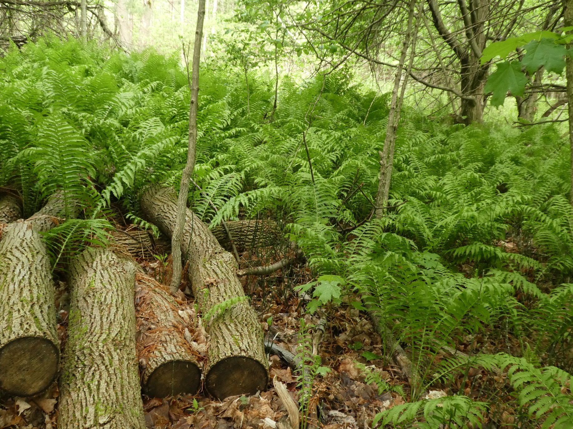
Glen Haffy to 7th Line - E2E
https://hikes.brucetrail.org/event/glen-haffy-to-7th-line-e2e-2/Sorry, the registration cut-off time for this hike has been reached.Not a member? Click here to join today!Hosting Club: Iroquoia
Category: General Hike
Location (Google Maps): Meet at 9:15 in the 7th Line Bruce Trail parking lot, off Airport Road.Hike Leader(s): Karen Bergmann Click here to contact Hike Leader(s)
Pace: Medium – 3 to 4 km/hr
Terrain: Moderate – Some hills and/or some poor footing
Distance: 9 kmsDescription
Meeting at 9:15 am in the Bruce Trail parking lot at the corner of 7th Line and Airport Road, we will carpool to Coolihans Side Road and hike back through Glen Haffy, along Hwy 7 and into the forest to the cars. There are some hills and tricky footing, so bring poles if you use them. Lots of variety along this trail. There is a 650 meter stretch of road walking just after leaving the Glen Haffy Conservation Area. Bring water and a snack, as needed.Exploring Sydenham Hike #33 The Glen
https://hikes.brucetrail.org/event/exploring-sydenham-hike-33-the-glen/Sorry, the registration cut-off time for this hike has been reached.Not a member? Click here to join today!Hosting Club: Sydenham
Category: General Hike
Location (Google Maps):The Owen Sound Galaxy Cinema parking lot. Meet at the tall “Galaxy Centre” sign next to the traffic lights.
Hike Leader(s): Bill Snel Click here to contact Hike Leader(s)
Pace: Leisurely: 3 km/h or less
Terrain: Moderate: Some hills and/or poor footing
Distance: 5.4 kmDescription
We will carpool to do a loop hike of The Glen. This is hike 33 in the book Exploring Sydenham. There will be one secret to find. If you do not have a book and would like one ($30) let me know by using the “Contact hike leader” link. - 13October 13, 2025
Urban Walk: Toronto Islands Thanksgiving Monday Hike
https://hikes.brucetrail.org/event/urban-walk-toronto-islands-thanksgiving-monday-hike/Sorry, the registration cut-off time for this hike has been reached.Not a member? Click here to join today!Hosting Club: Toronto
Category: Urban Walk
Location (Google Maps):Meet inside Jack Layton Ferry Terminal, foot of Bay Street. TTC – take any streetcar from Union Station one stop south the Ferry Docks stop and walk south.
Hike Leader(s): Tom Swales Click here to contact Hike Leader(s)
Pace: Moderate (3-4 km/hr)
Terrain: Flat, Level 1 (Easy – mostly on flat, well maintained trails with hard-packed surface)
Distance: 12 kmDescription
Walk off Sunday’s dinner with an exploration of the Toronto Islands while enjoying the fall colours. We’ll hike from the Wards Island dock to Hanlan’s Point with side trips to Algonquin Island, Snake Island, Centre Island, and depending on the weather conditions Hanlan’s Point beach. With the crowds gone Centerville makes a lovely lunch stop. Arrive at the ferry docks by 9:15 to take the 9:30 ferry to Ward’s Island. We will take the 2:30 pm ferry from the Hanlan’s Point Dock back to the city. Dress appropiate to the weather and bring lunch, snacks, and water. Dropout by hiking back to Ward’s Island or to the Centre Island Ferry dock. - 14October 14, 2025
Heather & Steve's 3rd Annual Fall Cairn2Cairn - Beaver Valley section, Oct 14,15,16,21,22,23
https://hikes.brucetrail.org/event/heather-steves-3rd-annual-fall-cairn2cairn-beaver-valley-section-oct-141516212223/Sorry, the registration cut-off time for this hike has been reached.Not a member? Click here to join today!This is a Multi-Day Hike
You are signing up for the following dates and times:
2025-10-14 at 07:45
2025-10-15 at
2025-10-16 at
2025-10-21 at
2025-10-22 at
2025-10-23 atHosting Club: Iroquoia, Beaver Valley
Category: General Hike
Location (Google Maps): We will meet at Sideroad 22B, south side west of Fairmount SIde trail and shuttle to our first trail head at Blantyre BTC LotHike Leader(s): Steven White Click here to contact Hike Leader(s)
Pace: Brisk – 4 to 5 km/hr
Terrain: Strenuous – Hilly with steep climbs and some poor footing
Distance: 21.7Description
Enjoy the fall colours of Beaver Valley section 117 kms over 6 days. We will meet each morning at 7:45 and be ready to shuttle at 8:00. Hikers will take turns shuttling and taking drivers to their cars each day.Hikers should wear layered clothing, hiking boots, poles, hat, sunscreen, bug spray, rain gear and bring plenty of water, snacks and lunch. We will hike rain or shine.
Full itinerary will be emailed to hikers the week before the first hike.
Bognor Marsh to Silent Valley
https://hikes.brucetrail.org/event/bognor-marsh-to-silent-valley/Sorry, the registration cut-off time for this hike has been reached.Not a member? Click here to join today!Hosting Club: Sydenham
Category: General Hike
Location (Google Maps): Meet at the Silent Valley side trail parking area, at the north end of 2nd Concession South – see Map 30. From Grey Road 18, turn north at the intersection of Grey Road 29. Grey Road 29 is to the south and 2nd Concession South is to the north. Follow 2nd Concession South for 1.5 km to the parking area at the north end of the road. Please meet here at 8:30 – we will then do a short car shuttle to the Bognor Marsh parking area to start our hike by 9 am.Hike Leader(s): Fran Turner Click here to contact Hike Leader(s)
Pace: Medium: 3 to 4 km/h
Terrain: Strenuous: Hilly with steep climbs and some poor footing.
Distance: 10 kmDescription
We start by walking the boardwalk around Bognor Marsh, where we will hopefully see some interesting birds. After several km in the woods, we climb a short, steep, rocky slope to the top of the escarpment where we hike through open deciduous forest until our descent into Silent Valley.Pretty River Valley Provincial Park/Petun Conservation Area
https://hikes.brucetrail.org/event/pretty-river-valley-provincial-park-petun-conservation-area/Sorry, the registration cut-off time for this hike has been reached.Not a member? Click here to join today!Hosting Club: Dufferin Hi-Land
Category: Tuesday Hike
Location (Google Maps): Blue Mountains Section, Map 23. Meet at SuperBurger (north-west corner of Hwy 10/Hwy 89 intersection) at 8:30 for car pooling or at Petun Conservation Area parking area on the east side of 2nd Line, 320 metres north of 6th Sideroad (Km 55.7) at 9:30.Hike Leader(s): Les Babbage, Inge Eckerich, Julie Daley, Tony Evangelista Click here to contact Hike Leader(s)
Pace: Leisurely
Terrain: Moderate, Slippery Sections Likely
Distance: 8.4 km. Short hike: 4.2 kmDescription
After car pooling to the start of the hike in Petun CA, we will take Black Ash Side Trail to the Main Trail, then hike east, south and west to the John Haigh Side Trail, which will take us back to parking. The short hike will turn back where the Main Trail turns onto 6th Sideroad road allowance. Bring water and snacks. Hiking poles recommended.Urban Walk: Valley View Park Thornhill
https://hikes.brucetrail.org/event/urban-walk-valley-view-park-thornhill-110/Sorry, the registration cut-off time for this hike has been reached.Not a member? Click here to join today!Hosting Club: Toronto
Location (Google Maps): Parking lot is off Sycamore Drive East of Bayview , across Starbucks plaza
Bus 91 from Finch east station stops at Sycamore station.Hike Leader(s): Mohammad Aghamiri Click here to contact Hike Leader(s)
Pace: Moderate (3-4 km/hr)
Terrain: Hilly, Level 2 (Intermediate – some hills and uneven surfaces, rocks and roots underfoot), Variable
Distance: 7-8 kmDescription
We will explore Valleyview and Maple View parks, and walk along German Mill Creak, in return we stop in Huntington park and have snack under beautiful shed ,Even it is considered Urban walk, it is urban hike as we have some up and down hills and tree roots, please bring your hiking poles, water and snacks,
phone number for the day of hike 289 588 6482
9:00 Long Hike Wiley Road Short Hills NEW TIME
https://hikes.brucetrail.org/event/900-long-hike-wiley-road-short-hills-new-time/Sorry, the registration cut-off time for this hike has been reached.Not a member? Click here to join today!Hosting Club: Niagara
Category: Loop
Location (Google Maps):Short Hills Wiley Road Entrance
Hike Leader(s): Alan Laver Click here to contact Hike Leader(s)
Pace: Medium
Terrain: Moderate
Distance: 10kmDescription
Explore Short Hills and the majestic side trails of Scarlett Tanager, Hemlock. Swayze Falls and Terrace. Register for each hikeBring Poles, , snack, and dress for the weather

Caledon Hills Fundraising E2E in 8 Hikes
https://hikes.brucetrail.org/event/caledon-hills-fundraising-e2e-in-8-hikes/Sorry, the registration cut-off time for this hike has been reached.Not a member? Click here to join today!Hike open to BTC Members only.
This is a Multi-Day Hike
You are signing up for the following dates and times:
2025-10-14 at 09:00
2025-10-15 at 09:00
2025-10-16 at 09:00
2025-10-17 at 09:00
2025-10-21 at 09:00
2025-10-22 at 09:00
2025-10-23 at 09:00
2025-10-24 at 09:00Hosting Club: Caledon Hills
Category: End-to-End
Location (Google Maps): For the first hike, meet at the Hockley Road Parking Area, east of km 61.1. Please aim to arrive for 9 am, so we can begin shuttling north to the Mono Community Centre parking lot at 9:15 am. Hikers will be notified by email about the remaining seven hikes.Hike Leader(s): Elizabeth Ganong Click here to contact Hike Leader(s)
Pace: Leisurely – 3 km/hour or less, Medium – 3 to 4 km/hour
Terrain: Moderate – some hills and/or some poor footing
Distance: Approximately 11.3 kmDescription
This series of hikes starts at the north end of the Caledon section and heads south. By dividing the section into eight hikes, the average hike is about 10 km, but of course the distance varies due to available parking. The intent of this offering is to provide an opportunity for hikers to attain the beautiful stained glass end-to-end badge and to enjoy their time out on the Trail at a more relaxed pace. An added bonus is that funds are raised to support the BTC!By registering, you are signing up for eight hikes on the following dates: Oct 14, Oct 15, Oct 16, Oct 17, Oct 21, Oct 22, Oct 23, and Oct 24
To qualify for the badge, you need to complete all eight hikes with our group. If you miss a hike, you can make it up on your own by the end of Oct 2025 and still qualify. When making individual requests, keep in mind that everyone supporting you on your hiking journey is a volunteer.
Please be prepared to help with shuttling hikers at the beginning and at the end of each hike. Thanks in advance to Jennie for taking on the role of sweep for this series. Consider the following in your preparations: sunscreen, a hat, a jacket, insect repellent, hiking boots/shoes, poles, water, and a lunch/snack. No dogs please.
For the first hike, we will meet at the Hockley Road Parking Area, east of km 61.1. Then, we will shuttle north to the Mono Community Centre parking lot and hike south. Hikers will receive information about upcoming hikes through emails.
9:15 Short hike - Pelham Road, Short Hills
https://hikes.brucetrail.org/event/915-short-hike-pelham-road-short-hills-15/Sorry, the registration cut-off time for this hike has been reached.Not a member? Click here to join today!Hosting Club: Niagara
Location (Google Maps): Pelham Road entrance, Short Hills Provincial Park
Hike Leader(s): janet davey Click here to contact Hike Leader(s)
Pace: Medium
Terrain: Moderate
Distance: 6 kmsDescription
Hike the main and sidetrails in Shorthills Provincial Park. Please wear hiking boots, bring water and insect repellant. Check yourself for ticks following the hike.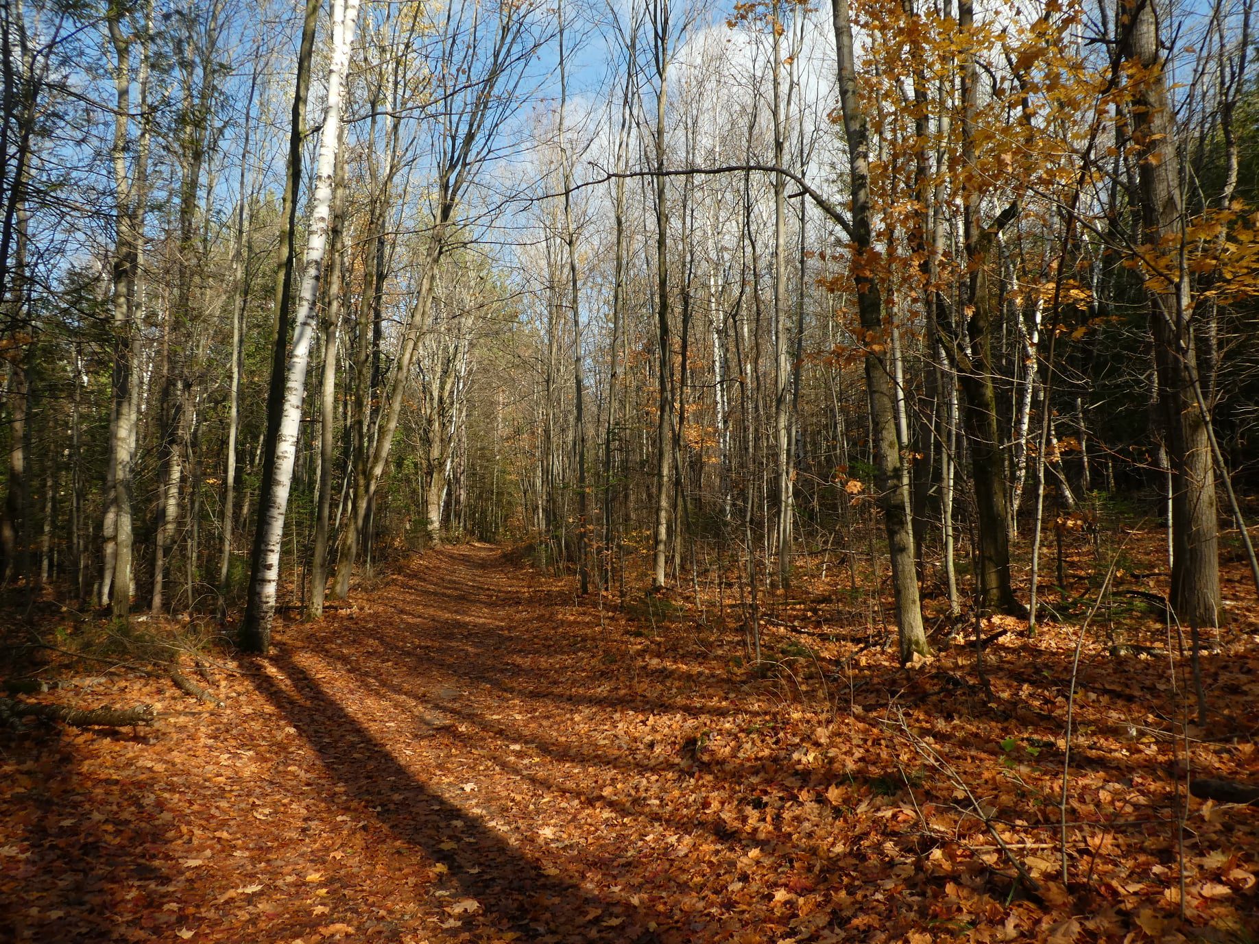
Mono Cliffs Provincial Park
https://hikes.brucetrail.org/event/mono-cliffs-provincial-park-3/Sorry, the registration cut-off time for this hike has been reached.Not a member? Click here to join today!Hosting Club: Iroquoia
Category: General Hike
Location (Google Maps): Meet at 9:15 am on Second Line EHSHike Leader(s): Karen Bergmann Click here to contact Hike Leader(s)
Pace: Medium – 3 to 4 km/hr
Terrain: Moderate – Some hills and/or some poor footing
Distance: 10 kmsDescription
Mono Cliffs is a gem in the Autumn! Come prepared to take photos of the beautiful leaf colours. We will hike the main trail, down the loop to the South Outlier Trail and down the switchback to the Walter Tovell Side Trail and Lookout ST to the main trail. Bring a snack, as needed.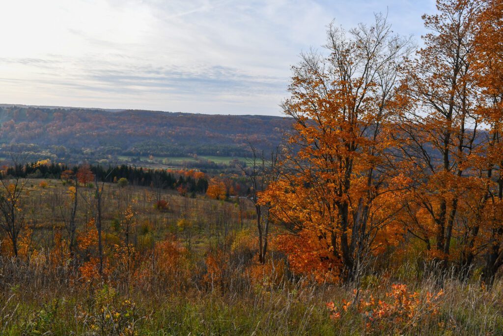
Fall Colours in Beaver Valley
https://hikes.brucetrail.org/event/fall-colours-in-beaver-valley/Sorry, the registration cut-off time for this hike has been reached.Not a member? Click here to join today!Hosting Club: Caledon Hills
Category: Tuesday Hikers
Location (Google Maps): Beaver Valley Lookout: on the west side of Grey Rd. 13Hike Leader(s): Barbara Euler Click here to contact Hike Leader(s)
Pace: Medium – 3 to 4 km/hour
Terrain: Moderate – some hills and/or some poor footing
Distance: 12 kmDescription
The Beaver Valley Bruce Trail Club has completed a major reroute of the main Bruce Trail onto the newly secured Eagle’s Summit Nature Reserve and created a new East Mountain Side Trail to make a beautiful loop with the main Trail. They have also created a network of side trails on the property to showcase its many features and to provide direct access to the parking area. We will combine the main loop with another at Old Baldy.
Most of the trail is along the top of the escarpment with great views.
A leisurely hike to enjoy fantastic views of the fall colours at their peak. Bring your cameras, a mid-morning snack, a packed lunch and lots of water. - 15October 15, 2025
EASY DOES IT HIKE, Merritt Island
https://hikes.brucetrail.org/event/easy-does-it-hike-merritt-island/Sorry, the registration cut-off time for this hike has been reached.Not a member? Click here to join today!Hosting Club: Niagara
Category: Leisurely
Location (Google Maps): Merritt Island, Welland Recreation Trail Parking LotHike Leader(s): Diane Marlatt Click here to contact Hike Leader(s)
Pace: Leisurely
Terrain: Easy
Distance: 3 KmDescription
WEDNESDAY WALKERS - Siegerman Area Trail
https://hikes.brucetrail.org/event/wednesday-walkers-siegerman-area-trail/Sorry, the registration cut-off time for this hike has been reached.Not a member? Click here to join today!Hosting Club: Beaver Valley
Location (Google Maps): Park on Sideroad 22C Km 99.9 Map 27 Edition 31
Hike Leader(s): Margaret Yaraskavitch Click here to contact the hike leader.
Pace: Medium
Terrain: Some rocky footing, Some steep sections
Length of Hike: 6 kmDescription
Reroutes, for the better, happened in the area of the Siegerman property! We’ll walk on a road allowance to the newly designed Siegerman Main Trail. Lovely views of a stream here. We’ll walk uphill and then walk a loop using the Allan Side Trail. Then we return on the Main Trail to our parked vehicles.Guidelines
- Arrive 15 minutes before the start of the hike.
- Wear sturdy footwear and appropriate attire for the weather and the terrain.
Hiking poles are a good idea in any season, especially if the terrain is rocky or slippery. In winter, snowshoes or icers/crampons are needed when conditions dictate.
Wearing appropriate clothing and footwear prevents injuries and shows consideration for a safe and positive group hiking experience. - Always carry I.D. and your health card.
- Bring sufficient water and snacks (or lunch if indicated). A minimum of 1L of water is recommended on all hikes, and 3L is recommended for long, challenging hikes in the heat of the summer.
- Bring sunscreen and insect repellent (for spring and summer hikes).
- Bring your own first aid kit.
- Please leave dogs at home.
Good Companions - Spring Valley - Ancaster
https://hikes.brucetrail.org/event/good-companions-spring-valley-ancaster-5/Sorry, the registration cut-off time for this hike has been reached.Not a member? Click here to join today!Hike open to BTC Members only.
Hosting Club: Iroquoia
Category: Good Companions
Location (Google Maps):Ancaster Little League Ball Park – Jerseyville Rd (across from the Ancaster Lions Outdoor Pool) – See map below
Hike Leader(s): Ted Bossence Click here to contact Hike Leader(s)
Pace: Medium – 3 to 4 km/hr
Terrain: Strenuous – Hilly with steep climbs and some poor footing
Distance: 8 kmDescription
We will follow the Spring Valley Trail, Martins Road, Headwaters Trail etc. in the western part of the Dundas Valley . Bring sunscreen, bug repellant, water and a snack (poles would also be useful). If I cancel due to rain I will notify you by email no later than the night before, so please check your emails before you leave for the hike. Please arrive 10 minutes before the10:00 am time since I will be leaving promptly at 10:00.I will send contact info the day before the hike for those who cancel after 4:00 pm the day before the hike.
Wasaga Beach Nottawasaga River
https://hikes.brucetrail.org/event/wasaga-beach-nottawasaga-river/Sorry, the registration cut-off time for this hike has been reached.Not a member? Click here to join today!Hosting Club: Blue Mountains
Category: Organized Hike
Location (Google Maps): 952 Veterans Way, Wasaga Beach,Hike Leader(s): Arie van Walraven Click here to contact Hike Leader(s)
Pace: Brisk – 4 to 5 km/hr
Terrain: Strenuous – Hilly with steep climbs and some poor footing
Distance: 8KMDescription
Please join me in one of my favourite hikes in the park. We will start at the roadside parking lot at the bend on Veterans Way, and follow the crests of the sand dunes to the Nottawasaga River. We will follow the trails beside the river to the Oxbow and return to our cars via the snowmobile trails. This is a very scenic hike through oak and pine forests, and I hope the fall colours will make it even better. The first part of the hike has many hills, some of which are long and steep. These trails are mostly hard packed sand with no mud, roots or rocks. If the trail proves to be too difficult for some, there are plenty of cut-out points available.Hike & Picnic
https://hikes.brucetrail.org/event/hike-picnic/Sorry, the registration cut-off time for this hike has been reached.Not a member? Click here to join today!Hosting Club: Niagara
Category: Loop
Location (Google Maps): Locust Grove Picnic AreaHike Leader(s): Sheila Massey Click here to contact Hike Leader(s)
Pace: Medium
Terrain: Moderate
Distance: 7 kmDescription
Hiking around Queenston including a visit to the grounds of Willowbank Restorative Arts. There will be an optional picnic after the hike.
Frontenac Trek October 15, 16, 17, 18, 2025 - Trek Badge
https://hikes.brucetrail.org/event/frontenac-trek-october-15-16-17-18-2024-2/Sorry, the registration cut-off time for this hike has been reached.Not a member? Click here to join today!Hike open to BTC Members only.
This is a Multi-Day Hike
You are signing up for the following dates and times:
2025-10-15 at 12:30
2025-10-16 at 07:30
2025-10-17 at 07:30
2025-10-18 at 07:30Hosting Club: Iroquoia
Category: Special Event
Location (Google Maps): Frontenac Provincial ParkHike Leader(s): Ruth Moffatt Click here to contact Hike Leader(s)
Pace: Brisk – 4 to 5 km/hr, Medium – 3 to 4 km/hr
Terrain: Dependent on Conditions, Moderate – Some hills and/or some poor footing
Distance: 12-24kmDescription
This is a special, 4 day,3 night trip to Frontenac Provincial Park. This special hiking event is a series of 6 loop hikes called the Frontenac Trek held in Frontenac Provincial Park each year. Frontenac Provincial Park is about 3.5 hours from Toronto and an hour north of Kingston. The 6 loops are from 12-24km (depending if we’re hiking one loop or two) and does not necessarily include the trail to access the trail head. Purchase of the Frontenac map is strongly recommended so everyone can follow along and help with way finding. Each of the 6 loops has a special code word which you keep track of to submit for a badge. The cost for registering for the Trek in 2024 was $5. This includes a badge and certificate for your first trek. A self-addressed 9×12”stamped envelope must be left at the park office if you want a badge/certificate.Accommodation is at Snug Harbour Resort, a short distance from the park. Three shareable cabins #2, #10 & # 12 have been blocked off for the Bruce Trail hikers. http://www.snugharbour.on.ca
Please contact Rob at relax@snugharbour.on.ca. Choose one of the cabins or another one of your choosing if another is available.
This trip is open to 12 people. http://snugharbour.on.ca/accommodations.htm. Check in is October 15, 2025 at 12pm and Check out is October 18, 2025 at 10amOnce you register, please let me know if you want your name shared with others to share your cabin. The rate of $110 is per cabin plus tax no matter if there is one or more sharing. This rate also includes access to boats (at your own risk), fire pits and GBBQs as needed.
Let Rob know you are with the Bruce Trail Group. Parking fees at the Frontenac Provincial Park also apply. Since we hike the first day, please check-in first and we’ll carpool from Snug Harbour over to the park to complete our first loop. Departure time on the first day is 12:30pm. Parking fees and reservations apply to all vehicles and everyone will need a reservation for the last day of hiking as most people drive straight home after our last hike. Borrowing a park pass from your local library, if available, or purchasing an annual pass, is encouraged. https://www.ontarioparks.com
Please note: Paid parking is only required on our first day and our last day.Fees from parking is a shared expense unless you have a pass.
Please note, this hike is for those who wish to complete the Frontenac Trek which is 6 loops. Do not register if you’re planning other activities in the area unless you plan them before or after the trip.
There is often wild life and the trees are usually in full autumn colour. On at least one evening, we’ll have a campfire and treats.
Please ensure you carry enough water and food each day as well as all the other things you require for day hikes. First aid kit, bug spray, rain gear etc. It is very important that hikers check everyday for ticks as the area is endemic.
Schedule and other important details:
Our schedule for the Frontenac Trek is as follows:
October 15 – Depart at 12:30 pm from the cabins and proceed to the
parking lot on Big Salmon Lake Rd – Hike Arkon Lake Loop 11km +access
trail.
October 16 – Depart at 7:30am from the cabins and park at the
Kingsford Dam Rd parking lot (48 Kingsford Dam Rd) – Hike Gibson Lake
9km and Hemlock Lake 5km + access trail
October 17 – Depart at 7:30am from the cabins and park at the
Kingsford Dam Rd parking lot – Hike Tetsmine Lake Loop 10km and Little
Clear Loop 7km + access trail
October 18 – Depart at 7:30am from the cabins and park at the far
parking lot on Big Salmon Lake Rd – Hike Little Salmon Lake Loop 10km
+ access trail. Note: A parking pass and a reservation was required
last year. Everyone will proceed home after the hike. We should
finish around noon or before.
If you cannot make it, please remove yourself from registration by following these steps:To cancel your registration, here is a step by step:
– Sign into your account on the BTC website
– Click on My Hikes under your account
– This will take you to a list of hikes you have registered for
– Scroll down to the appropriate hike and cursor over to the far right hand column under the Action column.
– Click Cancel under the hike you wish to cancel - 16October 16, 2025
Urban Walk: Valley View Park Thornhill
https://hikes.brucetrail.org/event/urban-walk-valley-view-park-thornhill-111/Sorry, the registration cut-off time for this hike has been reached.Not a member? Click here to join today!Hosting Club: Toronto
Location (Google Maps): Parking lot is off Sycamore Drive East of Bayview , across Starbucks plaza
Bus 91 from Finch east station stops at Sycamore station.Hike Leader(s): Mohammad Aghamiri Click here to contact Hike Leader(s)
Pace: Moderate (3-4 km/hr)
Terrain: Hilly, Level 2 (Intermediate – some hills and uneven surfaces, rocks and roots underfoot), Variable
Distance: 7-8 kmDescription
We will explore Valleyview and Maple View parks, and walk along German Mill Creak, in return we stop in Huntington park and have snack under beautiful shed ,Even it is considered Urban walk, it is urban hike as we have some up and down hills and tree roots, please bring your hiking poles, water and snacks,
phone number for the day of hike 289 588 6482
9:00 am Long Hike Cave Spring Conservation Area NEW TIME
https://hikes.brucetrail.org/event/900-am-long-hike-cave-spring-conservation-area-new-time/Sorry, the registration cut-off time for this hike has been reached.Not a member? Click here to join today!Hosting Club: Niagara
Category: In and Out
Location (Google Maps):Cave Spring Conservation Area
Hike Leader(s): Alan Laver Click here to contact Hike Leader(s)
Pace: Medium
Terrain: Moderate
Distance: 10kDescription
This will be our permanent Thursday Location until Bridge repairs complete. From Cave Spring Conservation Area explore the trail network on the escarpment towards Kinsman Park and Moyer Road.You must register for each hike. Bring Poles, snack and a drink. Dress for the weather
Hiking in and around Jordan
https://hikes.brucetrail.org/event/hiking-in-and-around-jordan-11/Sorry, the registration cut-off time for this hike has been reached.Not a member? Click here to join today!Hosting Club: Niagara
Location (Google Maps): 3649 Glen Road, Lincoln LOR 1SO
Hike Leader(s): Bill Russell Click here to contact Hike Leader(s)
Pace: Medium
Terrain: Moderate
Distance: 7 kmDescription
Hiking in and around Jordan hiking different trails each week – Jim Rainforth Trail, Bailey Bridge and Jordan Village and Balls Falls.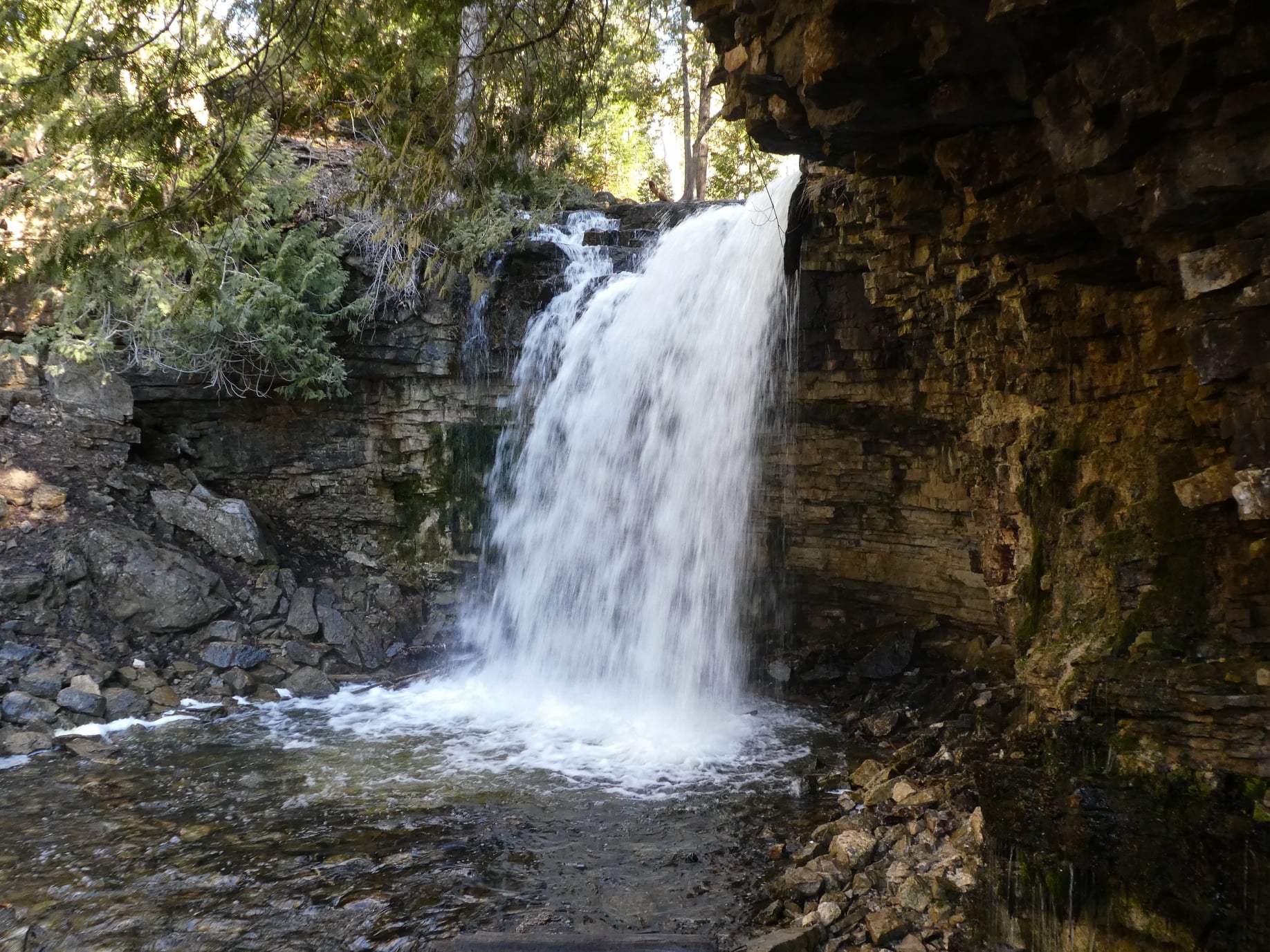
Hilton Falls on the Bike Trails
https://hikes.brucetrail.org/event/hilton-falls-on-the-bike-trails-3/Sorry, the registration cut-off time for this hike has been reached.Not a member? Click here to join today!Hosting Club: Iroquoia
Category: General Hike
Location (Google Maps): Meet in the parking lot at Hilton Falls Conservation Area at 9:15 am.Hike Leader(s): Karen Bergmann Click here to contact Hike Leader(s)
Pace: Medium – 3 to 4 km/hr
Terrain: Moderate – Some hills and/or some poor footing
Distance: 8 kmsDescription
We will hike to the Falls and then across the creek to the bike trails and back along the Hilton Falls Side Trail. Bring sufficient water. Reserve your time at conservationhalton.caNovice Hikers - Fall Series of 10 Hikes in Dufferin, Hike 7
https://hikes.brucetrail.org/event/novice-hikers-fall-series-of-10-hikes-in-dufferin-hike-7/Sorry, the registration cut-off time for this hike has been reached.Not a member? Click here to join today!Hosting Club: Caledon Hills
Category: Introductory
Location (Google Maps): Meet at roadside parking, km 2.2 on 2nd Line EHS north of 20 Sideroad. Do Not Block Entrances. Map 19Hike Leader(s): Nancy Mooney Click here to contact Hike Leader(s)
Pace: Leisurely – 3 km/hour or less, Medium – 3 to 4 km/hour
Terrain: Easy – mostly flat and usually good footing, Moderate – some hills and/or some poor footing
Distance: 7.2 km loopDescription
On our seventh hike in the fall Dufferin series we go back to Mono Cliffs Provincial Park and explore some side trails.Fall Colours Hike on the Bruce Peninsula
https://hikes.brucetrail.org/event/fall-colours-hike-on-the-bruce-peninsula-4/Sorry, the registration cut-off time for this hike has been reached.Not a member? Click here to join today!Hosting Club: Sydenham
Category: Hike & Picnic
Location (Google Maps): We have special permission to park near the barn foundation at 257 Bruce County Road 9 in Colpoy’s Bay, just North of km 6.6Hike Leader(s): Harriet Nixon Click here to contact Hike Leader(s)
Pace: Medium: 3 to 4 km/h
Terrain: Moderate: Some hills and/or poor footing
Distance: 8 kmDescription
Join members of the Sydenham Bruce Trail Club and the Peninsula Bruce Trail Club for the Fall Colours Hike on the Bruce Peninsula. We will hike on the main trail from km 6.6 in Colpoy’s Bay village to the “Corran”, where we will have our lunch (pack your own). There will be an opportunity to go down the spiral staircase to the shore of Colpoy’s Bay and back up before lunch. After lunch we will return to our cars the same way way came. - 17October 17, 2025

Peninsula E2E - Six Day Challenge
https://hikes.brucetrail.org/event/peninsula-e2e-six-consecutive-day-challenge/Sorry, the registration cut-off time for this hike has been reached.Not a member? Click here to join today!Hike open to BTC Members only.
This is a Multi-Day Hike
You are signing up for the following dates:
2025-10-17, 2025-10-18, 2025-10-19, 2025-10-24, 2025-10-25, 2025-10-26Hosting Club: Peninsula
Category: Peninsula E2E
Location (Google Maps): Day 1 of 6 starts at Bluewater Park, Wiarton, ONHike Leader(s): Margie Gloade Click here to contact Hike Leader(s)
Pace: Brisk (4.5 – 5.5 km/h): A faster pace for those seeking a good workout or more distance.
Terrain: Difficult: Steep ascents/descents, rocky scrambling, and some rugged escarpment paths.Description
Are you up for a challenge? Complete an End-to-End (E2E) of the 163km Peninsula section of the Bruce Trail in six (6) days this October – three (3) days over two (2) weekends. This E2E series will be difficult and is intended for experienced hikers only. Please carefully read the details below to understand the fitness required for this challenge, and be honest and aware of your ability before you register.- Fri. Oct.17, 2025, Wiarton to Jones Bluff; 25km
- Sat. Oct.18, 2025, Jones Bluff to Rush Cove; 33km
- Sun. Oct.19, 2025, Rush Cove to Richardson ST; 29km
- Fri. Oct.24, 2025, Richardson ST to Dyers Bay; 26km
- Sat. Oct.25, 2025, Dyers Bay to Halfway Log Dump ST; 27km
- Sun. Oct.26, 2025, Halfway Log Dump ST to Tobermory Cairn; 24km
Hikes will average 4.5 km per hour including breaks, moving pace is 5 km per hour. Expect to be on the trail for 7–9 hours each day for three consecutive days, on back-to-back weekends.
When you register, you are registering for the whole series. Depending on access points, as shown above, daily distances will vary from 24-33km each day.
Meeting time is scheduled for 7:30am; please arrive no later than 15 minutes prior to the meeting time.
Hikers must carry sufficient hydration, accessible snacks, lunch, first-aid kit, rain gear, extra socks, and plan to be self-sufficient each day of hiking. This will require planning and food preparation in advance as stores and service hours of operation on the Peninsula may be limited.
Prepare for variable weather conditions. The hike will go ahead rain or shine, however, in extremely inclement weather a day may be bumped ahead. Please consider potential schedule adjustments this week if booking accommodations or time-off from work.
Hikers will be expected to participate in shuttling vehicles to the end point, and returning hikers to the meeting point each day. Responsibility will be shared equally.
Any applicable parking or park entrance fees will be shared within the group.
This E2E series is for Bruce Trail Conservancy members only. To become a member: https://brucetrail.org
The $25 fee will include a donation to the PBTC and the awesome badge you will earn! You will get to choose from the PBTC’s E2E badges: Turkey Vulture Stained Glass badge or the Flowerpot badge.
9:00 am Niagara-on-the-Lake Tour
https://hikes.brucetrail.org/event/900-am-niagara-on-the-lake-tour-46/Sorry, the registration cut-off time for this hike has been reached.Not a member? Click here to join today!Hosting Club: Niagara
Category: Urban
Location (Google Maps):Veterans Memorial Park, park just outside the park on King Street
Hike Leader(s): Robin Garrett Click here to contact Hike Leader(s)
Pace: Medium
Terrain: Easy
Distance: 6-7 kmDescription
Each Friday we will explore different neighbourhoods, trails and parkland throughout Historic Niagara-on-the-Lake.Moderate pace with some weeks entirely on sidewalks and roads while others may include a mix of trails and paved pathways. Great way to build up endurance for longer more strenuous hikes.
Prepare for cooler windy conditions on open parkland and along Lake Ontario and Niagara River trails.
Plan to stay for conversation and a warm cup of coffee or tea at Sweets & Swirls, Community Centre, Niagara Stone Road, NOTL
Mono Mills to Palgrave
https://hikes.brucetrail.org/event/mono-mills-to-palgrave/Sorry, the registration cut-off time for this hike has been reached.Not a member? Click here to join today!Hosting Club: Dufferin Hi-Land
Category: General Hike
Location (Google Maps): Duffy’s Lane roadside parking on Duffy’s Lane between north of Patterson Sideroad and just south of Finnerty Sideroad. Approach from Patterson Sideroad. Duffy’s Lane south from Hwy 9 may be closed. Duffy’s Lane is immediately west of the Palgrave Forest and Wildlife Area. See Google Map link in this hike description for approximate GPS. Look for red SUV.Hike Leader(s): Stuart Law Click here to contact Hike Leader(s)
Pace: Medium
Terrain: Dependent on Conditions, Moderate, Slippery and Steep Sections
Distance: 18-19 kmsDescription
Join us for a 18-19 km shuttle hike from Airport Road north of Mono Mills to just west of the Palgrave Forest and Wildlife Area on the Main Trail and the old Palgrave Side Trail. Please bring a change of footwear and a garbage bag for the shuttle, a warm drink, 2L of water, a snack, a lunch and a smile. Hiking boots mandatory. Be prepared to use your car as part of the shuttle. No dogs and no dropouts. - 18October 18, 2025

Coach Trip: Hardy Lake Provincial Park
https://hikes.brucetrail.org/event/coach-trip-hardy-lake-provincial-park-2/Sorry, the registration cut-off time for this hike has been reached.Not a member? Click here to join today!Trip Information
Departure Time: 08:00
Return to City Time: 19:00
Departure Point: York Mills Bus PickupTrip Activities
Moderate Hike ($.01)
Faster Hike ($.01)
Optional ItemsHosting Club: Toronto
Category: Coach Trips
Location (Google Maps):Hardy Lake Provincial Park
Hike Leader(s): Lisa R. Lifshitz, Nijole Mockevicius, Ross Estrella, Felix Wan Click here to contact Hike Leader(s)
Pace: Moderate (3-4 km/hr)
Terrain: Level 2 (Intermediate – some hills and uneven surfaces, rocks and roots underfoot), Rocky, Variable
Distance: 10 km and 13 kmDescription
Join us for a relaxing hike in beautiful Hardy Lake Provincial Park! This park has everything- lush tree canopy, glacial rocks, interesting plants, settlor house remains (with a spooky wooden cabin) and a scenic lake. At this time we also hope to see some fall colours. We plan to run two groups on this hike, one at a more leisurely/moderate pace and the other faster that will cover slightly more distance. We do plan to stop occasionally for photos. While some of the trails are flat, there are still a few good hills, roots and uneven ground so hiking boots are a must. Hardy Lake PP is a non-operating park so there is no place to buy food or water, so please bring two litres of water, ample snacks, lunch and dress appropriately for a Fall hike. We also plan to stop in Orillia for refreshments. We ran this hike last year and it was lots of fun so please join us!Bus departs 10 York Mills Rd at 8:00 AM.

Caledon Stained Glass E2E in 4 (2 weekends)
https://hikes.brucetrail.org/event/caledon-stained-glass-e2e-in-4-2-weekends/Sorry, the registration cut-off time for this hike has been reached.Not a member? Click here to join today!This is a Multi-Day Hike
You are signing up for the following dates:
2025-10-18, 2025-10-19, 2025-10-25, 2025-10-26Hosting Club: Iroquoia, Caledon Hills
Category: Stained Glass Badge End to End Fundraiser Hike
Location (Google Maps): Various, going from south to north, to be shared either at earlier of hike being full, October 12, or upon request.Hike Leader(s): Freddy Wang Click here to contact Hike Leader(s)
Pace: Brisk – 4 to 5 km/hr
Terrain: Strenuous – Hilly with steep climbs and some poor footing
Distance: 18-20 km per dayDescription
This is a special series of 4 hikes to complete the Caledon Hills section of the Bruce Trail over two weekends. There is an accomplishment badge included in the registration fee – which was designed by Joe Borges. It depicts the Cheltenham Badlands, which we will visit on the hike.The fee goes towards supporting the Caledon Hills Bruce Trail Club, which in turn supports the mission of the Bruce Trail Conservancy, which is: “Preserving a ribbon of wilderness, for everyone, forever.”
For this E2E in 4, we will be following the main trail northbound starting near Cheltenham Badlands and finishing in Mono. Please note that you are signing up for the entire series of four hikes as a Group Hike. This series is geared to experienced hikers with the expectation of a 4.0 to 5.0 km/hr pace maintained over the hike distances below.
This hike is intended to be at a Brisk pace and through some hilly sections. Please be honest about your degree of physical fitness prior to registration. It is a group hike so it is important you are able to keep pace with the person in front of you.
Hikers will be expected to wear proper hiking footwear and layered clothing. Sufficient snacks, water, and hiking poles are recommended. There will be a brief lunch break each day.
This series will require car shuttling, so you must be willing to drive and be a passenger.
A maximum of 1 of the 4 hikes can be self-completed as a result of scheduling challenges. You must still complete the distance you have missed. If you miss more than one but still complete the distances on your own, you may apply for the Caledon Hills Club’s regular End to End badge.
Please note there are no refunds.
25 Km CHALLENGE Hike
https://hikes.brucetrail.org/event/25-km-challenge-hike-2/Sorry, the registration cut-off time for this hike has been reached.Not a member? Click here to join today!Hosting Club: Dufferin Hi-Land
Category: Special Events
Location (Google Maps): BTC Map #20, 716599, 1st Line East Mulmur, Bruce Trail Mulmur Hills Parking Lot, East of Whitfield ON south off 10 Sideroad (County Road 17)44Hike Leader(s): “Jody” Patfield; Don Stewart Click here to contact Hike Leader(s)
Pace: Brisk
Terrain: Strenuous
Distance: 25 KmDescription
Challenge yourself, your friends or co-workers to complete this “hilly hike” in the allotted time. You will have to average a minimum of 3.5 – 4 Km/Hr in order to earn the coveted “Dufferin Hi-Land BTC 25 Km Badge”Car Hike: Oak Ridges Corridor, Bethesda Trail
https://hikes.brucetrail.org/event/car-hike-oak-ridges-corridor-bethesda-trail/Sorry, the registration cut-off time for this hike has been reached.Not a member? Click here to join today!Hosting Club: Toronto
Category: Car Hike
Location (Google Maps): Oak Ridges Corridor, Bethesda Trail Head Parking Lot, Bethesda Side Road, Richmond Hill, OntarioHike Leader(s): Mohammad Aghamiri Click here to contact Hike Leader(s)
Pace: Moderate (3-4 km/hr)
Terrain: Hilly, Level 2 (Intermediate – some hills and uneven surfaces, rocks and roots underfoot)
Distance: 12-14 kmDescription
Join us to explore the trails of York Regional Forest and the Oak Ridges Corridor at Jefferson Forest and Bond lake,From parking lot we hike thought Jefferson forest and continue to Bond Lake and have snack beside the lake and return to parking around 13 to 13.30
F&G Hills 1
https://hikes.brucetrail.org/event/fg-hills-1/Sorry, the registration cut-off time for this hike has been reached.Not a member? Click here to join today!Hosting Club: Dufferin Hi-Land
Category: General Hike
Location (Google Maps): Caledon Section 5th Side Road Bruce Trail parking lot just east of Airport RdHike Leader(s): Tristan Goguen Click here to contact Hike Leader(s)
Pace: Medium
Terrain: Slippery and Steep Sections, Strenuous
Distance: approx 17KmDescription
This is the first in a series of hikes designed to include many of the hills Caledon and Dufferin have to offer. The pace will be moderate but this hike is for experienced hikers only. Hiking shoes or boots are highly recommended as there will be muddy and steep sections. Hiking poles are recommended but not necessary. Bring snacks/lunch and water. Weather permitting we will have a break at the top of the ski hill just after 3rd line. Dress appropriately in layers as fall weather is unpredictable. Note this is a car pool hike and the leaders will have 2 dogs with them on this hike. This hike involves challenging climbs and is recommended for experienced hikers only.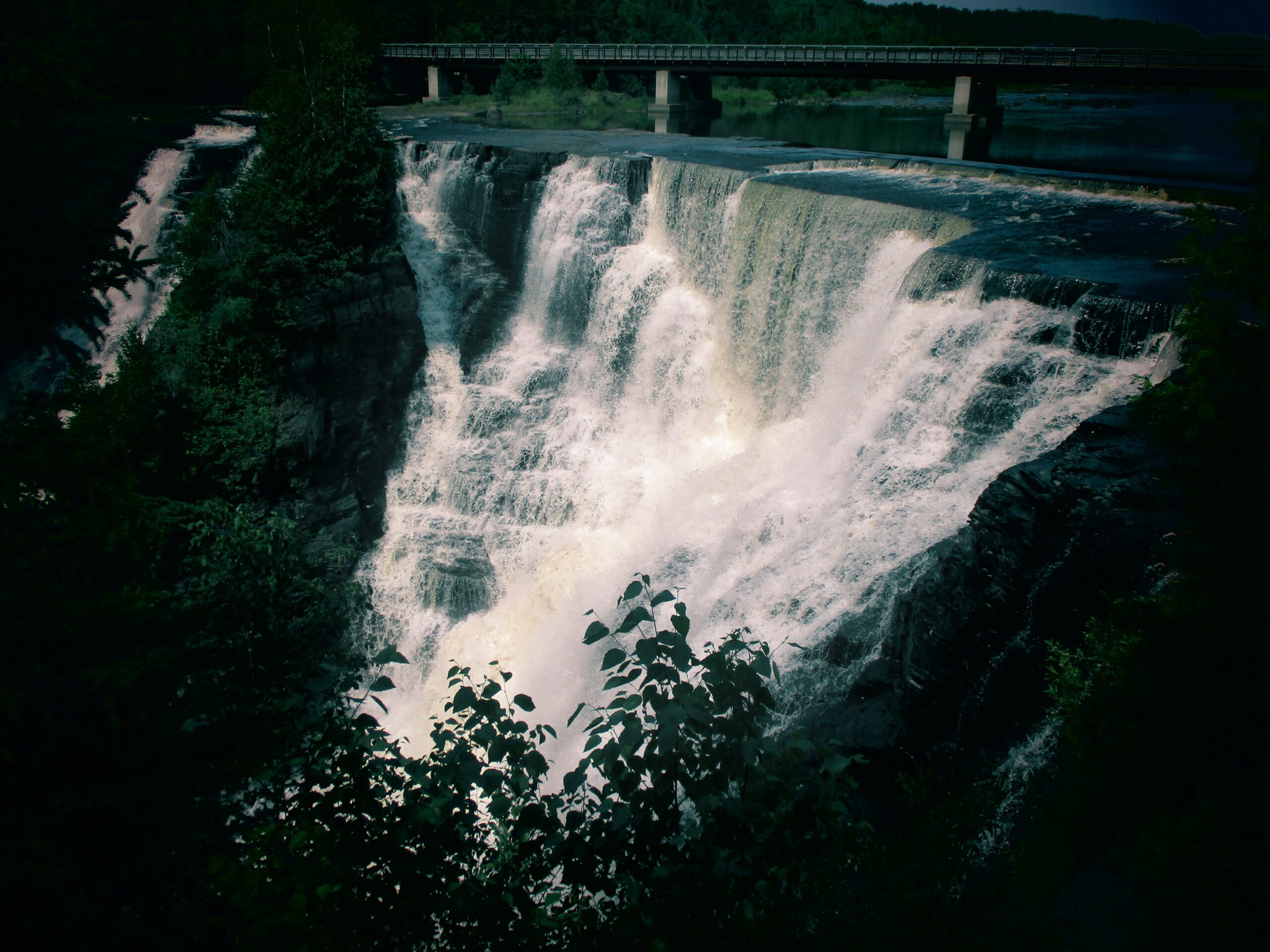
Borer's Falls - Dundas
https://hikes.brucetrail.org/event/borers-falls-dundas/Sorry, the registration cut-off time for this hike has been reached.Not a member? Click here to join today!Hosting Club: Iroquoia
Category: General Hike
Location (Google Maps): Borer’s Falls Dog Park 491 York Road Dundas L9H 5Z9Hike Leader(s): Dale Skvereckas Click here to contact Hike Leader(s)
Pace: Medium – 3 to 4 km/hr
Terrain: Moderate – Some hills and/or some poor footing
Distance: 7.0Description
We will meet at 9:15 a.m. for a 9:30 start. This is an out and back hike to Borer’s Falls starting with the Ray Lowes Side Trail, connecting to the Main Bruce Trail then joining the RBG Escarpment Trail to the Falls. There are some moderately steep hills, stairs, and a short roadside walk. We can view the Falls from different areas. Please wear proper footwear. Dress for the weather. Bring plenty of water, snacks and a first aid kit. If you use hiking poles bring them. Bring along a cheerful attitude and a smile as they weigh nothing, and do not need room in your backpack. “Nature reminds us to take a deep breath and slow down.” No dogs please.Urban Walk: Etobicoke Creek
https://hikes.brucetrail.org/event/urban-walk-etobicoke-creek-2/Sorry, the registration cut-off time for this hike has been reached.Not a member? Click here to join today!Hosting Club: Toronto
Category: Urban Walk
Location (Google Maps):Meet at the west end of the bus platform at Kipling Subway Station (Mississauga Transit). near the public washrooms.
The group will leave at 10:00 to take bus number 109 N from platform 14 to the Etobicoke Creek Station to start our hike.Hike Leader(s): Makhan Dhesi Click here to contact Hike Leader(s)
Pace: Leisurely (2-3 km/hr)
Terrain: Flat, Level 2 (Intermediate – some hills and uneven surfaces, rocks and roots underfoot)
Distance: 8 kmDescription
We will do a loop walk along the Etobicoke Creek and also visit Centenial Park and the Conservatory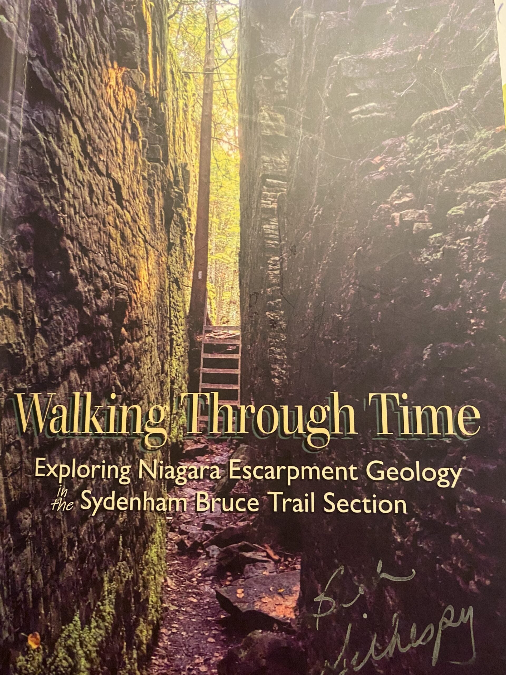
Geology Hike #15 Esther Bluff and President's Path loop
https://hikes.brucetrail.org/event/geology-hike-15-esther-bluff-and-presidents-path-loop/Sorry, the registration cut-off time for this hike has been reached.Not a member? Click here to join today!Hosting Club: Sydenham
Category: Geology Hike
Location (Google Maps): Carpool from Kemble Arena. 319897 Kemble Road Road, Kemble, ON NOH1S0 . We will drive to trailhead (limited parking ) approx. 15 minutes drive north.Hike Leader(s): Carol Graham-Mullin Click here to contact Hike Leader(s)
Pace: Leisurely: 3 km/h or less
Terrain: Easy: Mostly flat and good footing., Moderate: Some hills and/or poor footing, There are crevices or holes which may be hidden by layers of snow. Hike with extreme caution.
Distance: 6.2 kmDescription
We will be hiking the shorter version of this hike : Esther Bluff and President’s Path loop. Three stiles to climb over. On this hike you will be treated to high and wild views overlooking Georgian Bay and the geologically significant Slough of Despond. Please bring water, snacks and poles as needed. The hike leader will have copies of Beth Gilhespy’s Sydenham geology book for sale (cash, cheque or e-transfer $37.00 BT members. “Walking Through Time Exploring Niagara Escarpment Geology.” Sydenham Bruce Trail Geology Badge has been developed. Details can be shared from hike leader during the hike.
Forest Gathering for Heather
https://hikes.brucetrail.org/event/forest-gathering-for-heather/Sorry, the registration cut-off time for this hike has been reached.Not a member? Click here to join today!Hosting Club: Caledon Hills
Category: General
Location (Google Maps): Meet at 933445 Airport Road.
Hockleycrest Farm is 4.4 km north of Mono Mills.Hike Leader(s): Sandra Green Click here to contact Hike Leader(s)
Pace: Leisurely – 3 km/hour or less
Terrain: Moderate – some hills and/or some poor footing
Distance: 4.0 kilometresDescription
You are invited to gather in nature to honour the beautiful life of our friend Heather Murch, dedicated Caledon Hills Trail Maintenance Director, Trail Captain, Hike Leader, “Lover of Nature and All.”Invasive Plant Removal
https://hikes.brucetrail.org/event/invasive-plant-removal/Sorry, the registration cut-off time for this hike has been reached.Not a member? Click here to join today!Hosting Club: Niagara
Category: Event Hikes
Location (Google Maps): St. Paul Nature Reserve – parking on road side on St.Paul Ave, Niagara Falls, just North of the rail road tracks.Hike Leader(s): Michele Altobelli Click here to contact Hike Leader(s)
Pace: Medium 3- 4 km/hr
Terrain: Easy: mostly flat, good footingDescription
This work party is to continue with our invasive buckthorn removal at St. Paul Nature Reserve.
We are hoping to get lots of volunteers out and tackle this area in one work party per year.
Volunteers make a difference – come out & join us!Invasive buckthorn removal methods vary based on how big the buckthorn is – small plants can be pulled by hand and hung upside down so the roots dry out and die. Medium sized plants are removed with the help of extractigators – special shovel like tools that make pulling much easier. Large buckthorn “trees” must be cut with a chainsaw. We will be focusing on removing small and medium shrubs on this day, while certified sawyers will tackle the larger trees on a different date.
Plan on arriving so we can all walk in together at 10am but it’s an easy walk out if anybody wants to leave after a shorter amount of time.
Remember to wear long pants, long sleeves, work gloves, bring lots of water & bring a lunch if you are staying for the duration!- Students under 16 MUST be accompanied by a parent/guardian on this hike (please refer to the BTC link https://brucetrail.org/wp-content/uploads/2022/06/VOL.05.01_Minors_Volunteering_Policy_-_Approved_February_2016.pdf )
- 16 or more but under 18? Bring a waiver signed by a guardian.
- students wishing to receive community service hours (4Hours max) must bring service forms from school.
- Please wear clothes for work – long pants tucked into socks, appropriate footwear (no sandals), long sleeves and work gloves
Urban Walk: Glendon Forest & Sherwood Park
https://hikes.brucetrail.org/event/urban-walk-glendon-forest-sherwood-park/Sorry, the registration cut-off time for this hike has been reached.Not a member? Click here to join today!Hosting Club: Toronto
Category: Urban Walk
Location (Google Maps): Inside front doors of glass building facing entrance to York University Glendon Campus at Bayview Ave & Lawrence Ave East Toronto. (Building has Welcome written on it in several languages.)Hike Leader(s): Ray Berzins Click here to contact Hike Leader(s)
Pace: Moderate (3-4 km/hr)
Terrain: Level 2 (Intermediate – some hills and uneven surfaces, rocks and roots underfoot), Variable
Distance: 9 km to Lawrence subway stationDescription
TTC Sunnybrook bus #124 connects Lawrence subway station with Glendon Campus.Parking is available for a fee at York University Glendon Campus.
A 15 minute picnic around noon, so bring a sandwich.
Bring water, sunglasses, sunscreen, hat.
Check your emails two hours before hike (i.e. at 8 AM) to confirm if bad weather has required a hike cancellation.

Fossils Fall Hike: Queer Folx and Allies
https://hikes.brucetrail.org/event/fossils-fall-hike-queer-folx-and-allies/Sorry, the registration cut-off time for this hike has been reached.Not a member? Click here to join today!Hosting Club: Peninsula
Category: Rainbow Hike
Location (Google Maps): Bruce Peninsula National Park Visitor’s Centre located at 120 Chi sin teb dek Road, Tobermory, ONHike Leader(s): Marg Glendon & Tainin Hopkinson Click here to contact Hike Leader(s)
Pace: Brisk (4.5 – 5.5 km/h): A faster pace for those seeking a good workout or more distance., Leisurely (2.0 – 3.0 km/h): A relaxed pace with frequent breaks and a focus on enjoyment., Medium (3.0 – 4.5 km/h): A comfortable pace for most hikers with steady progress.
Terrain: Difficult: Steep ascents/descents, rocky scrambling, and some rugged escarpment paths., Moderate: Rolling hills, mild slopes and rocky paths.
Distance: 1 km -7 kmDescription
2SLGBTQ+ folx and allies are invited to join this lovely family friendly Fall hike. We will experience the beauty of Fall as Nature prepares for winter’s rest. We’ll gather at the Bruce Peninsula National Park Visitor Centre and shuttle to Little Cove, where a Park Interpreter will share their knowledge about this unique ecosystem and amazing fossil finds along the rugged shoreline.For those seeking a longer adventure, a PBTC Hike Leader will guide you on a 7 km hike back to the Visitor Centre. This will be a moderate to brisk hike and requires stamina and good balance. Along the hike, we will catch glimpses of beautiful Georgian Bay, Flower Pot Island and Bear’s Rump Island in the distance. After the hike, we’ll all come together for potluck snacks,social connections and still have time to explore the Visitor Centre.
This experience will last approximately 3 1/2 hours. No parking fee is required at Little Cove, but standard Bruce Peninsula National Park admission and parking fees apply.
Weather can be unpredictable at this time of year. Wear layers, hat, sturdy footwear with good tread and closed toes.
Bring a back pack for snacks and lunch, water bottle, blanket for sitting, hiking poles and binoculars (optional).
Porta-potties are available at Little Cove parking lot and flush toilets are available at the Bruce Peninsula National Park Visitor’s Centre.
The Frontenac Challenge - Multi-day Hike
https://hikes.brucetrail.org/event/the-frontenac-challenge-multi-day-hike/Sorry, the registration cut-off time for this hike has been reached.Not a member? Click here to join today!This is a Multi-Day Hike
You are signing up for the following dates and times:
2025-10-18 at 13:00
2025-10-19 at 07:00
2025-10-20 at 07:00
2025-10-21 at 07:00
2025-10-22 at 07:00
2025-10-23 at 07:00
2026-10-24 at 08:00Hosting Club: Toronto
Category: Car Hike
Location (Google Maps):We meet at Snug Harbour Resort and drive about 9 KM to Frontenac Provincial Park.
Hike Leader(s): Fayyaz Mahmood Click here to contact Hike Leader(s)
Pace: Brisk (4-5 km/hr)
Terrain: Challenging, Level 3 (Advanced – steep hills and some scrambling over boulders)
Distance: 20-25KM each dayDescription
Frontenac Park is located near Kingston about 3-4 hours from Toronto. According to Parks Ontario, the Frontenac Challenge is the ultimate hiking challenge in Ontario! To qualify for the ‘Frontenac Challenge’ badge you need to complete all of Frontenac’s 11 hiking loops, totaling around 160 km!The Frontenac Challenge is managed jointly by Parks Ontario and the Friends of Frontenac. You can find details about the 2024 Frontenac challenge at –
https://www.ontarioparks.com/parksblog/frontenac-challenge/
https://www.friendsoffrontenac.com/challenge-registration
BOARDING & LODGING:
You are responsible for arranging your own food and accomodation. Most often participants find it convenient and cost-effective to stay at Snug Harbour Resort, a short distance from the park. Snug Harbour has put aside Cabins: #1, 5, 7, 10, 12 at the reduced rate of $120 per day. The accommodation is shared (about 4 – 6 persons) so if you intend to stay there, feel free to reach out to the trip leader and let him know whether your email can be shared with other participants. Often there are opportunities for joining others in renting a cabin and jointly preparing meals.HIKING
These hikes are for serious hikers only. You will be walking 140 KM in 7 days in rough terrain.
You should be prepared for long hiking days. No drop-outs. You should bring your lunch and at least 1.5 – 2 litres of water. You should dress for the weather. Bring your rain gear, if needed.Additional information will be provided to participants nearer to the event.
Only a limited number of spaces are available.