
Join us for a hike! Registration required:
All hikes available to BTC members. Some hikes are open to non-members.
TIP: The calendar view displays up to 7 hikes on a day, but often there are more. Click “More events” to see them all.
Toronto Hike Schedule
Toronto Bruce Trail Club Registration Live Dates
Day Winter Coach Program
Registration begins two weeks in advance of the event departure (at 8:00 PM)
Day Bus Hikes
Registration begins two weeks in advance of the event departure (at 8:00 PM) with some exceptions of special event hikes
Day Coach Hikes
Registration begins 7 weeks in advance of the event departure
Day Car Hikes and Urban Hikes
Registration begins two weeks in advance of the event departure
Overnight and Weekend Trips
Registration begins 12 weeks in advance of the event departure
To view all Bruce Trail Conservancy Hikes click here
- 02August 2, 2026
Car Hike: Jefferson Forest/Bond Lake
https://hikes.brucetrail.org/event/car-hike-jefferson-forest-bond-lake-8/Sorry, the registration cut-off time for this hike has been reached.Not a member? Click here to join today!Hosting Club: Toronto
Category: Car Hike
Location (Google Maps):1245 Bethesda Side Rd, Richmond Hill, ON L4E 1A2 ( Bethesda Trail Head Parking lot)
Hike Leader(s): Amir Alemohammad Click here to contact Hike Leader(s)
Pace: Moderate (3-4 km/hr)
Terrain: Flat, Hilly, Level 2 (Intermediate – some hills and uneven surfaces, rocks and roots underfoot), Variable
Distance (km): 14-16KmDescription
Let’s roll the hills of the Jefferson Forest and around the Bond Lake. Every week we hike in Jefferson Forest, located in the heart of Richmond Hill, it boasts numerous hiking trails. This 4 hour hike can range from 14 to 15 kilometres, depending on the weather conditions. Remember to bring water, snacks, hiking boots (mandatory), poles, and your camera. Not recommended for beginners. Park in the free Bethesda parking lot and avoid parking along the road. Dress appropriately for the weather. Difficulty Level: 2 (Moderate).Please arrive @7:45AM for start of 8:00AM.
This is a joint hike with the Oak Ridges Trail Association (ORTA).
what3words:
https://w3w.co/twisting.mailer.awakes
Lion's Head, 2 of 3
https://hikes.brucetrail.org/event/lions-head-2-of-3/Sorry, the registration cut-off time for this hike has been reached.Not a member? Click here to join today!Hosting Club: Toronto, Peninsula
Category: Car Hike
Location (Google Maps): Cape Chin/Dyers Bay, Maps 39 and 40Hike Leader(s): Alex Brown Click here to contact Hike Leader(s)
Pace: Moderate (3-4 km/hr)
Terrain: Level 2 (Intermediate – some hills and uneven surfaces, rocks and roots underfoot), Rocky, Variable
Distance (km): 12.4 kmDescription
This is the second hike of the Lion’s Head series. The hike will be from km 98.4 where the trail crosses Cape Chin South Road and finish at km 110.8. Car pooling and meeting arrangements will be confirmed the day before.The hike will mostly follow the forested escarpment edge, occasionally turning inland. Trail conditions are variable and rocky.
After the hike we will meet for refreshments and to plan out the activity for day 3.
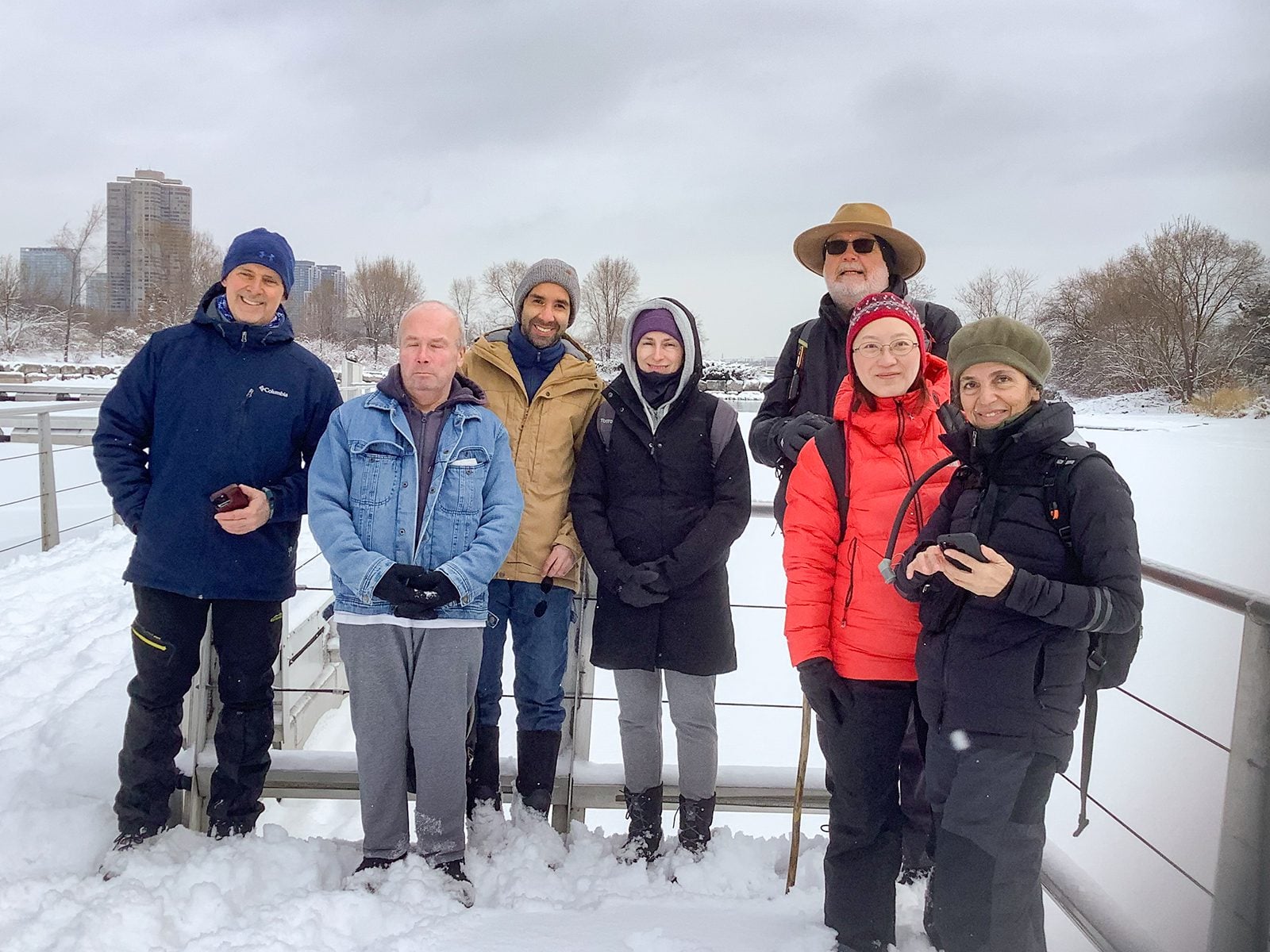
Urban Walk: Waterfront Trail 4/11 – Parklawn
https://hikes.brucetrail.org/event/urban-walk-waterfront-trail-4-11-parklawn-4/Sorry, the registration cut-off time for this hike has been reached.Not a member? Click here to join today!Hosting Club: Toronto
Category: Urban Walk
Location (Google Maps): Toronto Waterfront Trail WestHike Leader(s): Brian Rideout Click here to contact Hike Leader(s)
Pace: Moderate (3-4 km/hr)
Terrain: Flat
Distance (km): 9.1 kmDescription
Please join me at Old Mill Station no later than 9:12 am. We will take the 66 bus departing 9:27 am, arriving 9:40 am. If you want to meet us at Parklawn and Lakeshore, please be there by 9:40 am. We start hiking at 9:50 am.We will hike east along the lake to Spadina. The estimated distance is 9.1 km. Here is an online map of our route Parklawn to Spadina
Bring a snack, at least 2 liters of water, sunscreen and bug spray.
- 03August 3, 2026
Lion's Head, 3 of 3
https://hikes.brucetrail.org/event/lions-head-3-of-3/Sorry, the registration cut-off time for this hike has been reached.Not a member? Click here to join today!Hosting Club: Toronto, Peninsula
Category: Car Hike
Location (Google Maps): Dyers Bay, Map 40Hike Leader(s): Alex Brown Click here to contact Hike Leader(s)
Pace: Moderate (3-4 km/hr)
Terrain: Flat, Level 1 (Easy – mostly on flat, well maintained trails with hard-packed surface)
Distance (km): 7 kmDescription
We hike from km 110.8 and finish at Km 117.8. This section passes along the escarpment and then moves inland to Lindsay Rd 40.We will finish earlier than the previous days. After the hike those wishing to may meet for after hike refreshments in Lion’s Head before heading home.
- 04August 4, 2026
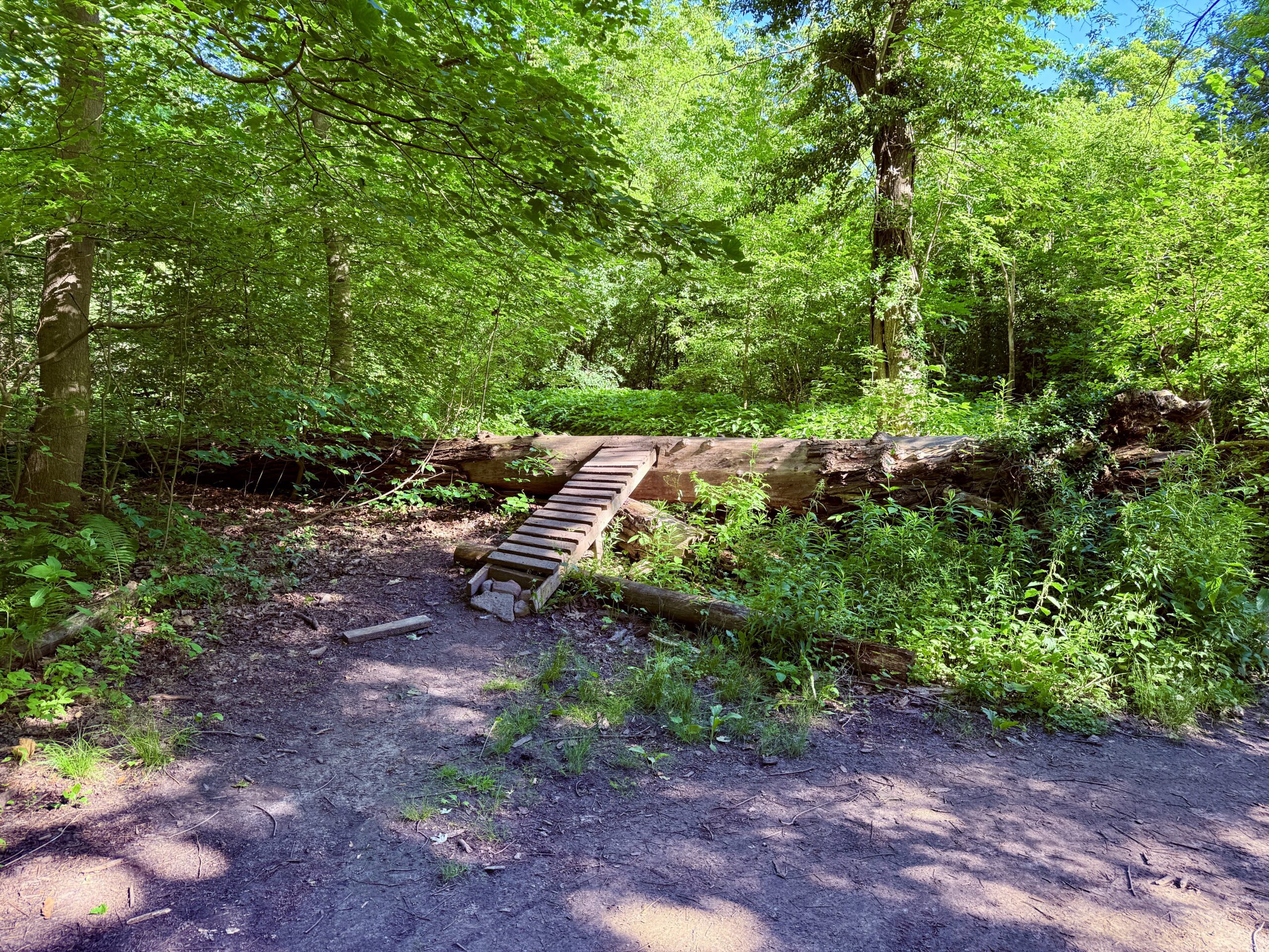
Urban Walk: Midtown Ravine Hike - ET Seton, Sunnybrook and Sherwood Parks
https://hikes.brucetrail.org/event/urban-walk-midtown-ravine-hike-et-seton-sunnybrook-and-sherwood-parks/Sorry, the registration cut-off time for this hike has been reached.Not a member? Click here to join today!Hosting Club: Toronto
Category: Urban Walk
Location (Google Maps): Sunnybrook Park Subway Station (Eglinton Crosstown at Leslie)Hike Leader(s): Ted Moriarty Click here to contact Hike Leader(s)
Pace: Moderate (3-4 km/hr)
Terrain: Hilly, Level 2 (Intermediate – some hills and uneven surfaces, rocks and roots underfoot)
Distance (km): 7 kilometresDescription
Please join me for a morning hike through three Toronto ravine parks and the streets of North Toronto. We will wind our way through ET Seton Park, Sunnybrook Park and Sherwood Park. From here we will explore the North Toronto neighbourhood between Mount Pleasant Road and Yonge Street. The hike will end on Yonge Street just north of Eglinton Subway Station.Route map:
https://onthegomap.com/s/k69os2b6
Travel to the trailhead:
Meet Ted at the Sunnybrook Park Station (Eglinton Crosstown) exit turnstiles. There is only one exit from this station.Washrooms:
There are no washrooms at Sunnybrook Park Subway Station. The closest subway washroom is at Eglinton Station (Eglinton and Yonge). During the 7 km hike, we will stop at three public washrooms located at kilometres 1, 2 and 5.Après-hike:
There will be an optional après-hike stop at Rose and Crown (2335 Yonge Street). Alternatively, hikers can explore the Yonge and Eglinton neighbourhood and visit one of the many restaurants or cafes in the area.
Urban Walk: Valley View/Huntington Park
https://hikes.brucetrail.org/event/urban-walk-valley-view-huntington-park-13/Sorry, the registration cut-off time for this hike has been reached.Not a member? Click here to join today!Hosting Club: Toronto
Location (Google Maps): Parking lot is off Sycamore Drive, East of Bayview , across Starbucks plaza
Bus 91 from Finch East station stops at Sycamore station.Hike Leader(s): Mohammad Aghamiri
Pace: Moderate (3-4 km/hr)
Terrain: Hilly, Level 2 (Intermediate – some hills and uneven surfaces, rocks and roots underfoot)
Distance (km): 6-7 kmDescription
We will explore Valleyview and Maple View parks, and walk along German Mill Creak, in return we stop in Huntington park and have snack under beautiful shed.Although this is considered an “Urban Walk”, you can expect some hills up and down and uneven surfaces with tree roots. Please bring hiking poles, water and snacks.
- 05August 5, 2026
Car Hike: Toronto E2E (4 of 4)
https://hikes.brucetrail.org/event/car-hike-toronto-e2e-4-of-4-2/Sorry, the registration cut-off time for this hike has been reached.Not a member? Click here to join today!Hosting Club: Toronto
Category: Car Hike
Location (Google Maps): Chinguacousy Rd, north of Olde Baseline Rd. (Map 14, 2.8k marker, Edition 31)Hike Leader(s): David Rowney Click here to contact Hike Leader(s)
Pace: Moderate (3-4 km/hr)
Terrain: Variable
Distance (km): 14.3kDescription
This is a summer-time End-to-End hike to complete the Toronto section of the Bruce Trail in 4 hikes.This 4th hike of the series will take us from the the Walking Fern ST on 10th Line, to the end of the Toronto Section, continuing through the Badlands, to 2.8k into the Caledon section. As with previous hikes in this series, the terrain will vary, there will be some hilly sections and sections with uneven, rocky terrain, making footing tricky to navigate.
Early August weather can be hot, muggy and buggy! So, dress for the weather, keeping in mind that insects, including ticks, will be out in full force. Take appropriate precautions to avoid insect bites, including using repellant and clothing that covers the legs and arms. Hiking shoes/boots are required and hiking poles are recommended.
Bring plenty of fluids, including electrolytes, and a snack/lunch.
Since this is a group hike, please consider your fitness level before registering. We will be walking at a pace of 3.5km – 4km per hour and everyone is expected to keep up with the person in front of them for the duration of the hike.
Plan to arrive at the meeting place by 9:15 a.m. as we will start the car shuffle to the hike starting point at 9:30 a.m. sharp. Further details will be provided to registered hikers a few days prior to the hike.
- 06August 6, 2026
Scottsdale Farm the Easy Way
https://hikes.brucetrail.org/event/scottsdale-farm-the-easy-way/Sorry, the registration cut-off time for this hike has been reached.Not a member? Click here to join today!Hosting Club: Iroquoia, Toronto
Category: Easy Does It Hikes
Location (Google Maps): Scottsdale Farm 13807 Trafalgar Rd.Hike Leader(s): Anne Armstrong Click here to contact Hike Leader(s)
Pace: Leisurely – 3km/hr or less
Terrain: Easy – Mostly flat and usually good footing
Distance: 8 – 9 km.Description
Come join us for this easy hike exploring the side trails around Scottsdale Farm. Learn about the history of the farm and enjoy the beauty of the farm and surrounding area. Meet in the parking lot at the end of a long road into the farm at 9:15 for a 9:30 start. Bring a snack, water, sunscreen and insect repellent. I will send an email the day before with my contact ingormationUrban Walk: Valley View/Huntington Park
https://hikes.brucetrail.org/event/urban-walk-valley-view-huntington-park-14/Sorry, the registration cut-off time for this hike has been reached.Not a member? Click here to join today!Hosting Club: Toronto
Location (Google Maps): Parking lot is off Sycamore Drive, East of Bayview , across Starbucks plaza
Bus 91 from Finch East station stops at Sycamore station.Hike Leader(s): Mohammad Aghamiri
Pace: Moderate (3-4 km/hr)
Terrain: Hilly, Level 2 (Intermediate – some hills and uneven surfaces, rocks and roots underfoot)
Distance (km): 6-7 kmDescription
We will explore Valleyview and Maple View parks, and walk along German Mill Creak, in return we stop in Huntington park and have snack under beautiful shed.Although this is considered an “Urban Walk”, you can expect some hills up and down and uneven surfaces with tree roots. Please bring hiking poles, water and snacks.
- 07August 7, 2026No events
- 08August 8, 2026
Car Hike: Oak Ridges Corridor
https://hikes.brucetrail.org/event/car-hike-oak-ridges-corridor-2/Sorry, the registration cut-off time for this hike has been reached.Not a member? Click here to join today!Hosting Club: Toronto
Location (Google Maps): Oak Ridges Corridor, Bethesda Trail Head Parking Lot, Bethesda Side Road, Richmond Hill, Ontario
Hike Leader(s): MOHAMMAD AGHAMIRI Click here to contact Hike Leader(s)
Pace: Moderate (3-4 km/hr)
Terrain: Hilly, Level 2 (Intermediate – some hills and uneven surfaces, rocks and roots underfoot)
Distance (km): 14-15 kmDescription
Join us to explore the trails of York Regional Forest and the Oak Ridges Corridor at Jefferson Forest and Bond lake,From parking lot we hike thought Jefferson forest and continue to Bond Lake and have snack beside the lake and return to parking around 1:pm
Please bring lots of water and snacks ,hiking poles are recommended,it is Mosquto and Tick season ,be prepared .
phone number for the day of hike 289 588 6482
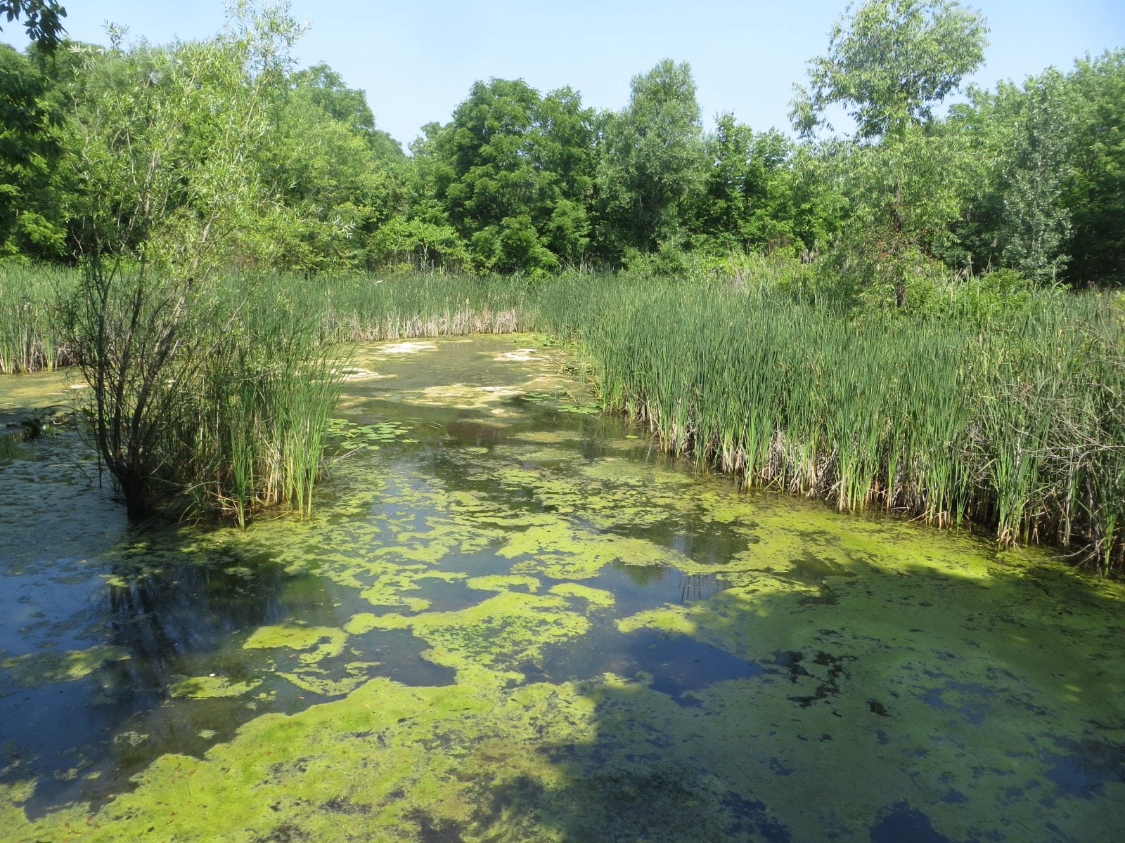
Urban Walk: Bartley Smith Greenway Trail
https://hikes.brucetrail.org/event/urban-walk-bartley-smith-greenway-trail/Sorry, the registration cut-off time for this hike has been reached.Not a member? Click here to join today!Hosting Club: Toronto
Category: Urban Walk
Location (Google Maps): Maple GO station, 30 Station Street, Vaughan ONHike Leader(s): Felix Wan; Talise Liang Click here to contact Hike Leader(s)
Pace: Moderate (3-4 km/hr)
Terrain: Level 2 (Intermediate – some hills and uneven surfaces, rocks and roots underfoot), Variable
Distance (km): 13.5 kmDescription
Join us on a walk along the southern portion of the Bartley Smith Greenway Trail. We’ll walk through a mixture of residential neighbourhoods, wooded areas, and trails along the West Don River. We hope to see many species of birds, insects, and flowers, and we will pass by a lookout at Keffer Marsh.Route map: https://onthegomap.com/s/vh797jei
The terrain is generally flat with a few gentle hills, and features a mixture of paved paths, road walking, and dirt/gravel trails. Depending on weather conditions, parts of the trail may be muddy or wet. Bring a good pair of hiking/walking shoes, as well as a lunch/snacks, at least 2L of drinking water, sun protection, and insect repellent.
Travel to the trailhead:
- By TTC/GO: Meet Felix at Downsview Park subway station by 9:00 a.m. We will make the short walk to the GO station platform to take the northbound train departing at 9:11 a.m., and arriving at Maple GO station at 9:25 a.m., where we will meet up with Talise and start the hike. The GO transfer costs an additional $0.40 (adult fare) if you tap with your PRESTO card. People coming from Union station may board the Barrie Line GO train departing at 8:52 a.m.
- By car: Free parking is available at Maple station. Note that you will need to find your way back to Maple station after the end of the hike, given that this is a linear hike.
Washrooms:
Unfortunately, the washrooms at Maple and Rutherford GO stations are closed on weekends. The nearest available washrooms are located at Finch West subway station, one stop north of Downsview Park station. The washrooms on the GO train can also be used. Soon after we start the hike, we will stop to use washrooms at Walmart (approximately km 0.6). There is also a porta-potty at km 7.6 in Langstaff Park, where we will aim to have our lunch break.
Après-hike:
There will be an optional après-hike stop at Montana’s (2011 Steeles Ave. W.), a short walk from the end point of the hike.
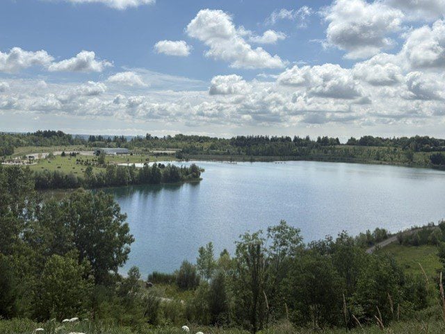
Area 8 Conservation Area Hike - Family Friendly
https://hikes.brucetrail.org/event/area-8-conservation-area-hike-family-friendly/Sorry, the registration cut-off time for this hike has been reached.Not a member? Click here to join today!Hosting Club: Toronto, Caledon Hills
Category: General
Location (Google Maps): Area 8 Conservation Area; Halton’s newest conservation area. Participants need to register online and pay a nominal fee to enter and support the park.Hike Leader(s): Lynn Dobson Click here to contact Hike Leader(s)
Pace: Leisurely – 3 km/hour or less
Terrain: Easy – mostly flat and usually good footing
Distance: approximately 7 kmDescription
Come explore Area 8, the newest conservation area in Conservation Halton Parks. It was formerly a quarry and has undergone habitat restoration and provides links to Kelso Conservation Area. It is a beautiful setting. This is a family-friendly hike and is ideal for anyone wanting to make a day of it. We will start with a 2.2 km walk around the lake during which there will be a number of native species to watch and listen for. After our lakeside warm-up, we will hike up to the top of the escarpment with one large gradual hill to climb. We will stop at a viewpoint and then carry on to connect with the Bruce Trail in Kelso. The trail is very wide and is mostly hard-packed gravel/dirt for the entire hike. This additional 5.5. km route is a there-and-back. Following the hike, you may want to continue your day at Area 8. There are kayaks, canoes, and boats available to rent. There are children’s play areas. There are lots of picnic tables and some firepits so you can enjoy a nice picnic lunch or even a BBQ. While there is a swimming area, swimming is only permitted for those registered in an Area 8 swim program. There are washrooms onsite, and there is plenty of parking. To support the facilities, there is an entrance fee. When you pay in advance, you are given an entry code to use at the gate.