
The BTC office will be closed Tues. Sept. 22 and Wed. Sept. 23. The office will reopen on Thurs. Sept. 24 at 9 am. Thank you for your understanding.
Join us for a hike! Registration required:
All hikes available to BTC members. Some hikes are open to non-members.
TIP: The calendar view displays up to 7 hikes on a day, but often there are more. Click “More events” to see them all.
Toronto Hike Schedule
Toronto Bruce Trail Club Registration Live Dates
Day Winter Coach Program
Registration begins two weeks in advance of the event departure (at 8:00 PM)
Day Bus Hikes
Registration begins two weeks in advance of the event departure (at 8:00 PM) with some exceptions of special event hikes
Day Coach Hikes
Registration begins 7 weeks in advance of the event departure
Day Car Hikes and Urban Hikes
Registration begins two weeks in advance of the event departure
Overnight and Weekend Trips
Registration begins 12 weeks in advance of the event departure
To view all Bruce Trail Conservancy Hikes click here
- 26July 26, 2026
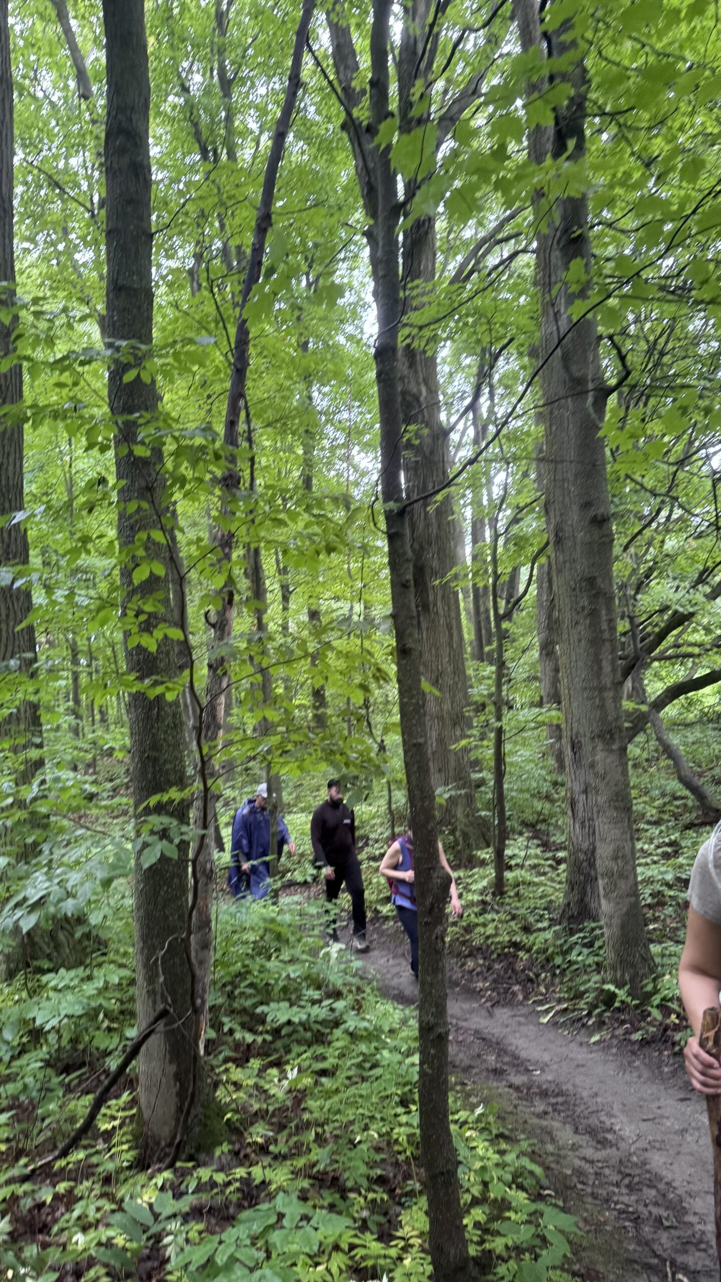
Car Hike: Jefferson Forest/Bond Lake
https://hikes.brucetrail.org/event/car-hike-jefferson-forest-bond-lake-7/Sorry, the registration cut-off time for this hike has been reached.Not a member? Click here to join today!Hosting Club: Toronto
Category: Car Hike
Location (Google Maps):1245 Bethesda Side Rd, Richmond Hill, ON L4E 1A2 ( Bethesda Trail Head Parking lot)
Hike Leader(s): Amir Alemohammad Click here to contact Hike Leader(s)
Pace: Moderate (3-4 km/hr)
Terrain: Flat, Hilly, Level 2 (Intermediate – some hills and uneven surfaces, rocks and roots underfoot), Variable
Distance (km): 14-16KmDescription
Let’s roll the hills of the Jefferson Forest and around the Bond Lake. Every week we hike in Jefferson Forest, located in the heart of Richmond Hill, it boasts numerous hiking trails. This 4 hour hike can range from 14 to 15 kilometres, depending on the weather conditions. Remember to bring water, snacks, hiking boots (mandatory), poles, and your camera. Not recommended for beginners. Park in the free Bethesda parking lot and avoid parking along the road. Dress appropriately for the weather. Difficulty Level: 2 (Moderate).Please arrive @7:45AM for start of 8:00AM.
This is a joint hike with the Oak Ridges Trail Association (ORTA).
what3words:
https://w3w.co/twisting.mailer.awakes
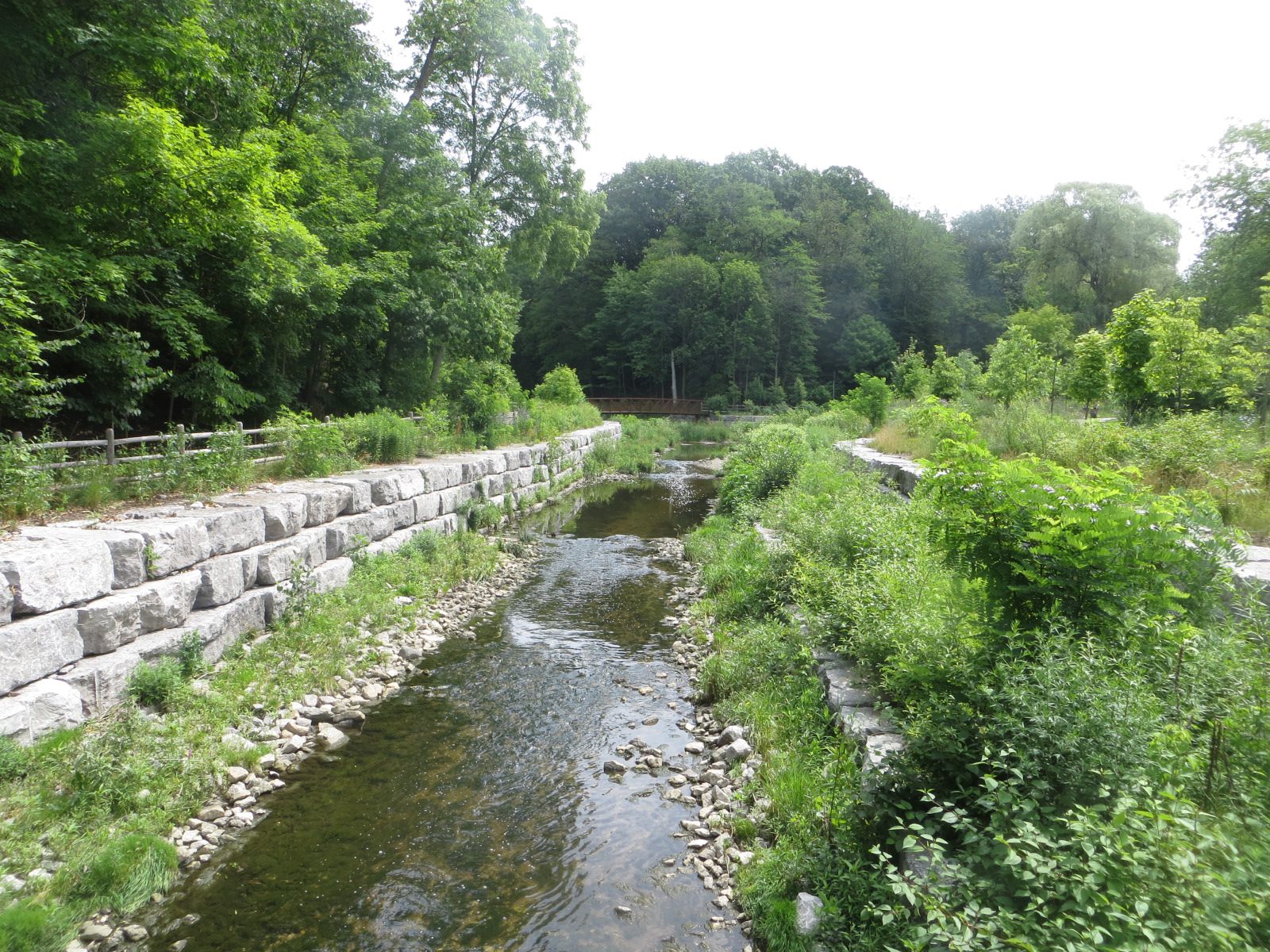
Urban Walk: Warden Woods--Taylor Creek--Don River
https://hikes.brucetrail.org/event/urban-walk-warden-woods-taylor-creek-don-river/Sorry, the registration cut-off time for this hike has been reached.Not a member? Click here to join today!Hosting Club: Toronto
Category: Urban Walk
Location (Google Maps): Kennedy Rd. and St. Clair Ave. E.Hike Leader(s): Felix Wan; Tom Swales Click here to contact Hike Leader(s)
Pace: Moderate (3-4 km/hr)
Terrain: Hilly, Level 2 (Intermediate – some hills and uneven surfaces, rocks and roots underfoot)
Distance (km): 12.5Description
Join us on a walk through scenic Warden Woods Park and Taylor Creek Park. We will never be far from water as we walk alongside Taylor-Massey Creek and the Don River. We will see wetlands, woodlands, and many species of plants and birds.Route map: https://onthegomap.com/s/lcjp9dir
The terrain features a mixture of paved paths, dirt trails, and road walking. There are a couple of descents, and a couple of uphill climbs. Depending on weather conditions, parts of the trail may be muddy or wet. Bring a good pair of hiking/walking shoes, as well as a lunch/snacks and at least 2L of drinking water.
Travel to the trailhead:
- By TTC: Meet Felix and Tom at Kennedy subway station by 9:25 a.m. to take the route 113 Danforth bus departing at 9:38 a.m., and arriving at Kennedy Rd. and St. Clair Ave. E. at 9:46 a.m.
- By GO: Take the Lakeshore East Line train departing Union station at 9:20 a.m. and arriving at Scarborough station at 9:38 a.m. Walk across St. Clair Ave. E. to the north side, to catch the route 102 Markham TTC bus departing Linden Ave. westbound at 9:44 a.m., arriving at Kennedy Rd. (two stops later) at 9:45 a.m. The TTC transfer will be free if you tap with your PRESTO card. Cross to the northwest corner of the intersection to meet the group.
- By car:
- Free parking is available at the Thomas Hauser Memorial Trailhead (the end point of the hike) at 35 Redway Rd. (https://maps.app.goo.gl/9QtAgAdmnXB8C8zw6). Note that you will still need to find your way to the trailhead to meet the group, given that this is a linear hike.
- Free parking is available at Scarborough GO station. To reach the trailhead, see “By GO” instructions above. Note that you will need to find your way back to Scarborough station at the end of the hike, given that this is a linear hike.
Washrooms:
Washrooms are available at Kennedy station (east end of the level above the Line 2 subway, as well as just across the west staircase from/to the Line 5 LRT boarding platform), or on the GO train/at Scarborough GO station, before the start of the hike. During the hike, we will stop at public washrooms at km 5.7. Washrooms are also available at the end of the hike at Loblaws.
Après-hike:
There will be an optional après-hike stop at Corks Beer & Wine Bar at Leaside Village (93 Laird Dr.), a 20-minute walk from the end point of the hike.
- 27July 27, 2026
CANCELLED - Terra Cotta Loop
https://hikes.brucetrail.org/event/terra-cotta-loop-4/Sorry, the registration cut-off time for this hike has been reached.Not a member? Click here to join today!Hosting Club: Iroquoia, Toronto
Category: General Hike
Location (Google Maps):Boston Mills Road – Roadside Parking
Hike Leader(s): Pati Greenwood, Jeff Dowsett Click here to contact Hike Leader(s)
Pace: Medium – 3 to 4 km/hr
Terrain: Moderate – Some hills and/or some poor footing
Distance: 15 kmDescription
Starting from Boston Mills Road, we will take the main trail and side trails to form a large loop through the Terra Cotta Conservation Area. Our route will include some rocky and uneven terrain, which may be tricky to navigate. Wear hiking boots and bring poles.Ticks and other insects are active at this time of year, so wearing clothing covering the legs are arms is recommended as is insect repellent. Bring plenty to drink and a snack.
Please arrive at the meeting place by 8:15 am for an 8:30 am departure.
- 28July 28, 2026
Urban Walk: Valley View/Huntington Park
https://hikes.brucetrail.org/event/urban-walk-valley-view-huntington-park-11/Sorry, the registration cut-off time for this hike has been reached.Not a member? Click here to join today!Hosting Club: Toronto
Location (Google Maps): Parking lot is off Sycamore Drive, East of Bayview , across Starbucks plaza
Bus 91 from Finch East station stops at Sycamore station.Hike Leader(s): Mohammad Aghamiri
Pace: Moderate (3-4 km/hr)
Terrain: Hilly, Level 2 (Intermediate – some hills and uneven surfaces, rocks and roots underfoot)
Distance (km): 6-7 kmDescription
We will explore Valleyview and Maple View parks, and walk along German Mill Creak, in return we stop in Huntington park and have snack under beautiful shed.Although this is considered an “Urban Walk”, you can expect some hills up and down and uneven surfaces with tree roots. Please bring hiking poles, water and snacks.
- 29July 29, 2026
Car Hike: Toronto Section E2E (3 of 4 )
https://hikes.brucetrail.org/event/car-hike-toronto-section-e2e-3-of-4-2/Sorry, the registration cut-off time for this hike has been reached.Not a member? Click here to join today!Hosting Club: Toronto
Category: Car Hike
Location (Google Maps): Walking Fern ST (38.8k marker, Edition 31) on 10th LineHike Leader(s): David Rowney Click here to contact Hike Leader(s)
Pace: Moderate (3-4 km/hr)
Terrain: Variable
Distance (km): 12.2 kDescription
This is a summer-time End-to-End hike to complete the Toronto section of the Bruce Trail in 4 hikes. Join for as many hikes as desired.This third hike will take us from Sixth Line, north of Limehouse to the entrance of the Walking Fern ST (on the 10th Line). The terrain will vary, there will be some hilly sections and sections with uneven, rocky terrain, making footing tricky to navigate.
July weather can be hot, muggy and buggy! So, dress for the weather, keeping in mind that insects, including ticks, will be out in full force. Take appropriate precautions to avoid insect bites, including using repellant and clothing that covers the legs and arms. Hiking shoes/boots are required and hiking poles are recommended.
Bring plenty of fluids, including electrolytes, and a snack/lunch.
As this is a group hike, please consider your fitness level before registering. We will be walking at a pace of 3km – 4km per hour and everyone is expected to keep up with the person in front of them for the duration of the hike.
Plan to arrive at the meeting place by 9:15 a.m. as we will start the car shuffle to the hike starting point at 9:30 a.m. sharp. Further details will be provided to registered hikers a few days prior to the hike.
- 30July 30, 2026
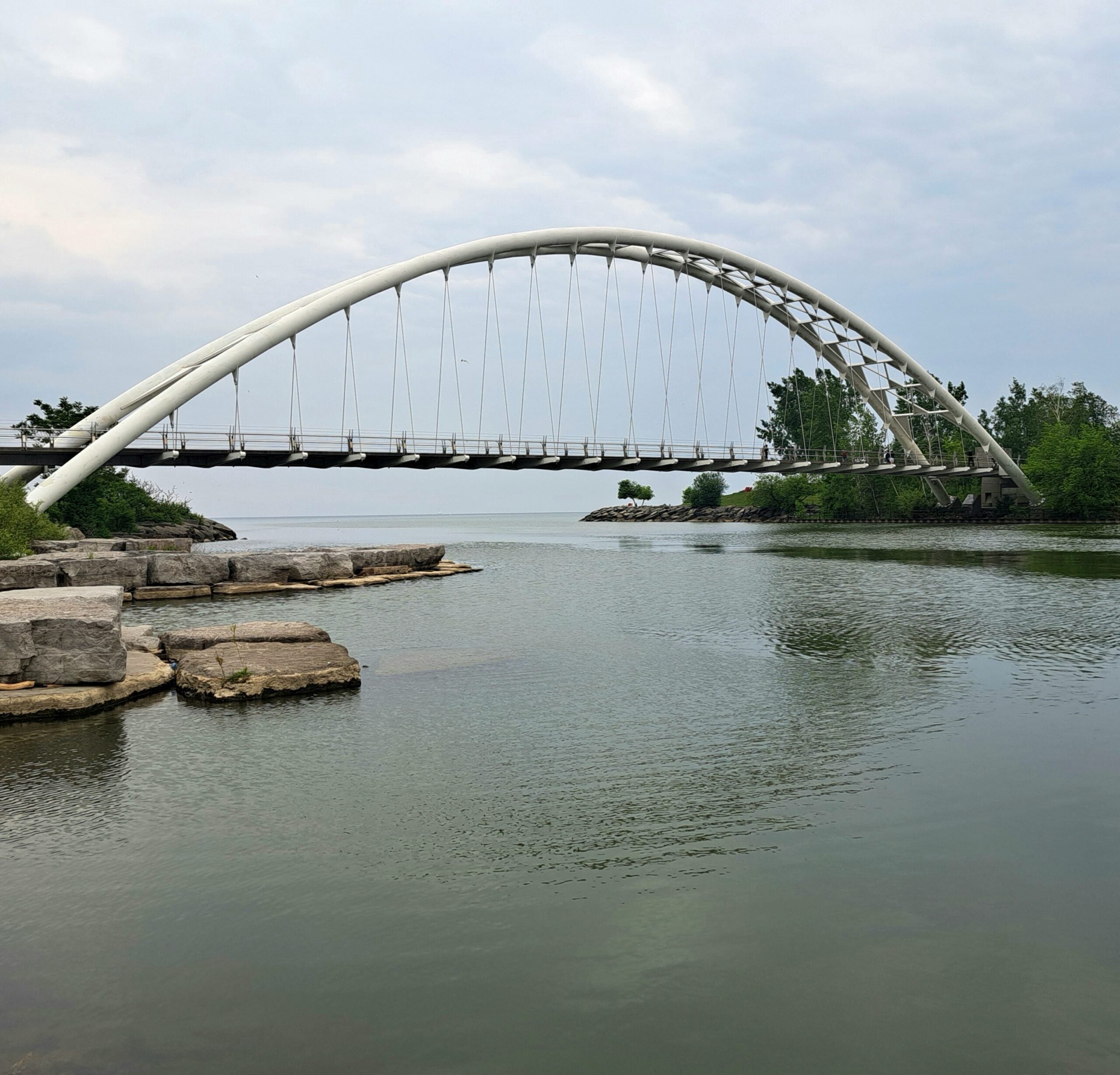
Toronto Waterfront Urban Hike: Port Credit Go Station to Union GO Train Station
https://hikes.brucetrail.org/event/toronto-waterfront-urban-hike-danforth-go-station-to-union-go-train-station/Sorry, the registration cut-off time for this hike has been reached.Not a member? Click here to join today!Hosting Club: Toronto, Caledon Hills
Category: General
Location (Google Maps): At 6:15 a.m. meet at Union Station Go Train Station platform #4 stairs in the concourse-not on the tracks!!!! We will be taking the 6:35 a.m. Lakeshore West train to Port Credit Go Station and walking back to Union.Hike Leader(s): Daniel Patterson, Tom Swales Click here to contact Hike Leader(s)
Pace: Medium – 3 to 4 km/hour
Terrain: Easy – mostly flat and usually good footing
Distance: 21 KmDescription
Enjoy the amazing Toronto waterfront from Port Credit to Union Station on this early morning urban hike. Bring snacks, water, sun screen and your natural curiousity! Should you decide to leave the hike early you MUST talk to the leaders. No dogs.Urban Walk: Valley View/Huntington Park
https://hikes.brucetrail.org/event/urban-walk-valley-view-huntington-park-12/Sorry, the registration cut-off time for this hike has been reached.Not a member? Click here to join today!Hosting Club: Toronto
Location (Google Maps): Parking lot is off Sycamore Drive, East of Bayview , across Starbucks plaza
Bus 91 from Finch East station stops at Sycamore station.Hike Leader(s): Mohammad Aghamiri
Pace: Moderate (3-4 km/hr)
Terrain: Hilly, Level 2 (Intermediate – some hills and uneven surfaces, rocks and roots underfoot)
Distance (km): 6-7 kmDescription
We will explore Valleyview and Maple View parks, and walk along German Mill Creak, in return we stop in Huntington park and have snack under beautiful shed.Although this is considered an “Urban Walk”, you can expect some hills up and down and uneven surfaces with tree roots. Please bring hiking poles, water and snacks.
- 31July 31, 2026
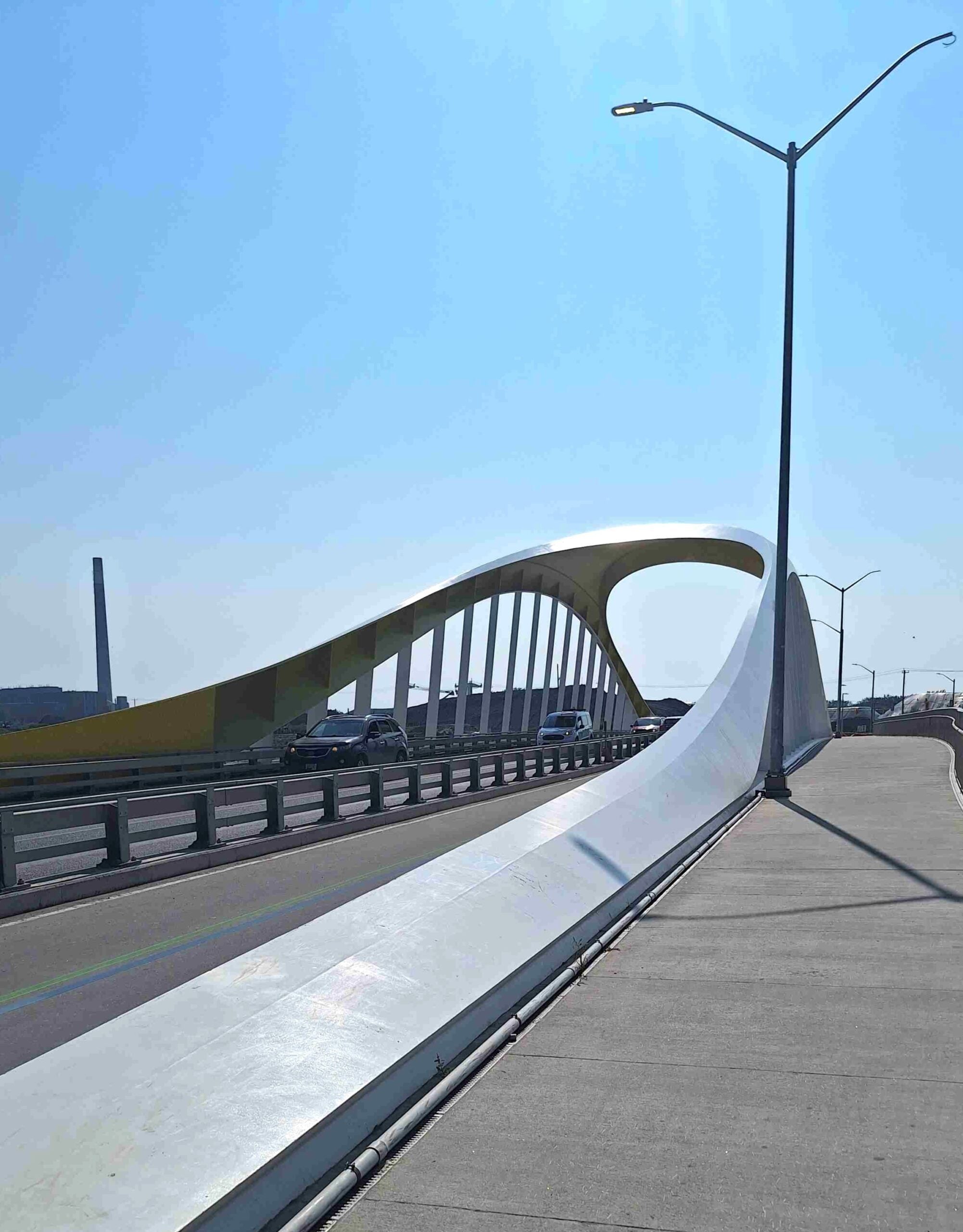
Toronto Waterfront Danforth GO Station to Union GO Station
https://hikes.brucetrail.org/event/toronto-waterfront-davenport-go-station-to-union-station/Sorry, the registration cut-off time for this hike has been reached.Not a member? Click here to join today!Hosting Club: Toronto, Caledon Hills
Category: General
Location (Google Maps): Meet at Union Station Go Train Station Platform 4 (in the concourse not on the tracks!) by 6:15 a.m. We are taking the 6:35 a.m. Lakeshore East Go Train to Danforth Go Station to start the hike. The hike will end at Union Station. If you want to leave the hike before Union Station, it is necessary to inform the leaders!Hike Leader(s): Daniel Patterson, Tom Swales Click here to contact Hike Leader(s)
Pace: Medium – 3 to 4 km/hour
Terrain: Easy – mostly flat and usually good footing
Distance: 21 kmDescription
Join us for an urban hike on the Toronto East waterfront along the beaches, through Tommy Thompson Park, the Port Lands and Harbour Front. Bring snacks, sturdy shoes, sunblock and an adventerous attitude! And of course your Presto Card! - 01August 1, 2026
Hollad River Trail Aurora 250
https://hikes.brucetrail.org/event/car-hike-hollad-river-trail-2/Sorry, the registration cut-off time for this hike has been reached.Not a member? Click here to join today!Hosting Club: Toronto
Location (Google Maps): We start the hike from Evans park ,you may park along benville cres off Bayview
Hike Leader(s): MOHAMMAD AGHAMIRI Click here to contact Hike Leader(s)
Pace: Moderate (3-4 km/hr)
Terrain: Level 2 (Intermediate – some hills and uneven surfaces, rocks and roots underfoot), Variable
Distance (km): 14-15 kmDescription
We start the hike from Evans park ,walking north along Holland River , passingheppard’s Bush Conservation Area to Newmarket trails and return
Lions Head, 1 of 3
https://hikes.brucetrail.org/event/lions-head-1-of-3/Sorry, the registration cut-off time for this hike has been reached.Not a member? Click here to join today!Hosting Club: Toronto, Peninsula
Category: Car Hike
Location (Google Maps): Lions Head, Map 39Hike Leader(s): Alex Brown Click here to contact Hike Leader(s)
Pace: Moderate (3-4 km/hr)
Terrain: Level 2 (Intermediate – some hills and uneven surfaces, rocks and roots underfoot), Variable
Distance (km): 12Description
This is the first of six hikes from Lions Head to Tobermory to be conducted over two weekends. The first series is named Lions Head. The second will be named Tobermory. The first hike in each series will be about 12 km. Follow on hikes will vary in length depending on group wishes.We will begin the series at km 87.2 at the parking area and car pool to km 98.4. This section of the trail follows the escarpment north over variable rocky sections. After the hike we will meet for refreshments and to confirm arrangements for the following day. Details TBA.
Given the distance it is anticipated that hikers coming from the Toronto area will find accommodation locally. I understand that options range from camping to hotels. More to follow on this subject as well. Those joining the hikes are asked to confirm their personal arrangements with me.
Accommodations may be found online. One such link is:
https://r.search.yahoo.com/_ylt=AwrEm6iP_i9qygIA1WXrFAx.;_ylu=Y29sbwNiZjEEcG9zAzEEdnRpZAMEc2VjA3Ny/RV=2/RE=1782739856/RO=10/RU=https%3a%2f%2fvisitbrucepeninsula.ca%2fwhere-to-stay%2f/RK=2/RS=4WcNI2n_eESb5ZTLRBvj7qtmFn4-
Al
Urban Walk: Windsfield Farm Park /Wilket Creek/ET Seton Park to Leaside
https://hikes.brucetrail.org/event/urban-walk-windsfield-farm-park-wilket-creek-et-seton-park-to-leaside/Sorry, the registration cut-off time for this hike has been reached.Not a member? Click here to join today!Hosting Club: Toronto
Category: Urban Walk
Location (Google Maps):Meet on the Southeast corner of Bayview and York Mills in front of the arena (a short ride on the York Mills 95 Bus from York Mills Station)
Hike Leader(s): Tom Swales Click here to contact Hike Leader(s)
Pace: Moderate (3-4 km/hr)
Terrain: Level 2 (Intermediate – some hills and uneven surfaces, rocks and roots underfoot), Variable
Distance (km): 12 kmDescription
We’ll hike south through Windsfield Farm Park, on Banbury Road, the Don Mills Trail, stop for lunch at Edwards Gardens, then south through Wilket Creek Park. Finishing through Serena Gundy Park the hike will end near Laird Station on Line 5.