
Join us for a hike! Registration required:
All hikes available to BTC members. Some hikes are open to non-members.
TIP: The calendar view displays up to 7 hikes on a day, but often there are more. Click “More events” to see them all.
Toronto Hike Schedule
Toronto Bruce Trail Club Registration Live Dates
Day Winter Coach Program
Registration begins two weeks in advance of the event departure (at 8:00 PM)
Day Bus Hikes
Registration begins two weeks in advance of the event departure (at 8:00 PM) with some exceptions of special event hikes
Day Coach Hikes
Registration begins 7 weeks in advance of the event departure
Day Car Hikes and Urban Hikes
Registration begins two weeks in advance of the event departure
Overnight and Weekend Trips
Registration begins 12 weeks in advance of the event departure
To view all Bruce Trail Conservancy Hikes click here
- 19July 19, 2026
Car Hike: Jefferson Forest/Bond Lake
https://hikes.brucetrail.org/event/car-hike-jefferson-forest-bond-lake-6/Sorry, the registration cut-off time for this hike has been reached.Not a member? Click here to join today!Hosting Club: Toronto
Category: Cancelled
Location (Google Maps):1245 Bethesda Side Rd, Richmond Hill, ON L4E 1A2 ( Bethesda Trail Head Parking lot)
Hike Leader(s): Amir Alemohammad Click here to contact Hike Leader(s)
Pace: Moderate (3-4 km/hr)
Terrain: Challenging, Flat, Hilly, Level 2 (Intermediate – some hills and uneven surfaces, rocks and roots underfoot), Variable
Distance (km): 14-16KmDescription
The hike is canceled due to the weather conditions.
Let’s roll the hills of the Jefferson Forest and around the Bond Lake. Every week we hike in Jefferson Forest, located in the heart of Richmond Hill, it boasts numerous hiking trails. This 4 hour hike can range from 14 to 16 kilometres, depending on the weather conditions. Remember to bring water, snacks, hiking boots (mandatory), poles, and your camera. Not recommended for beginners. Park in the free Bethesda parking lot and avoid parking along the road. Dress appropriately for the weather. Difficulty Level: 2 (Moderate).Please arrive @7:45AM for start of 8:00AM.
This is a joint hike with the Oak Ridges Trail Association (ORTA).
what3words:
https://w3w.co/twisting.mailer.awakes
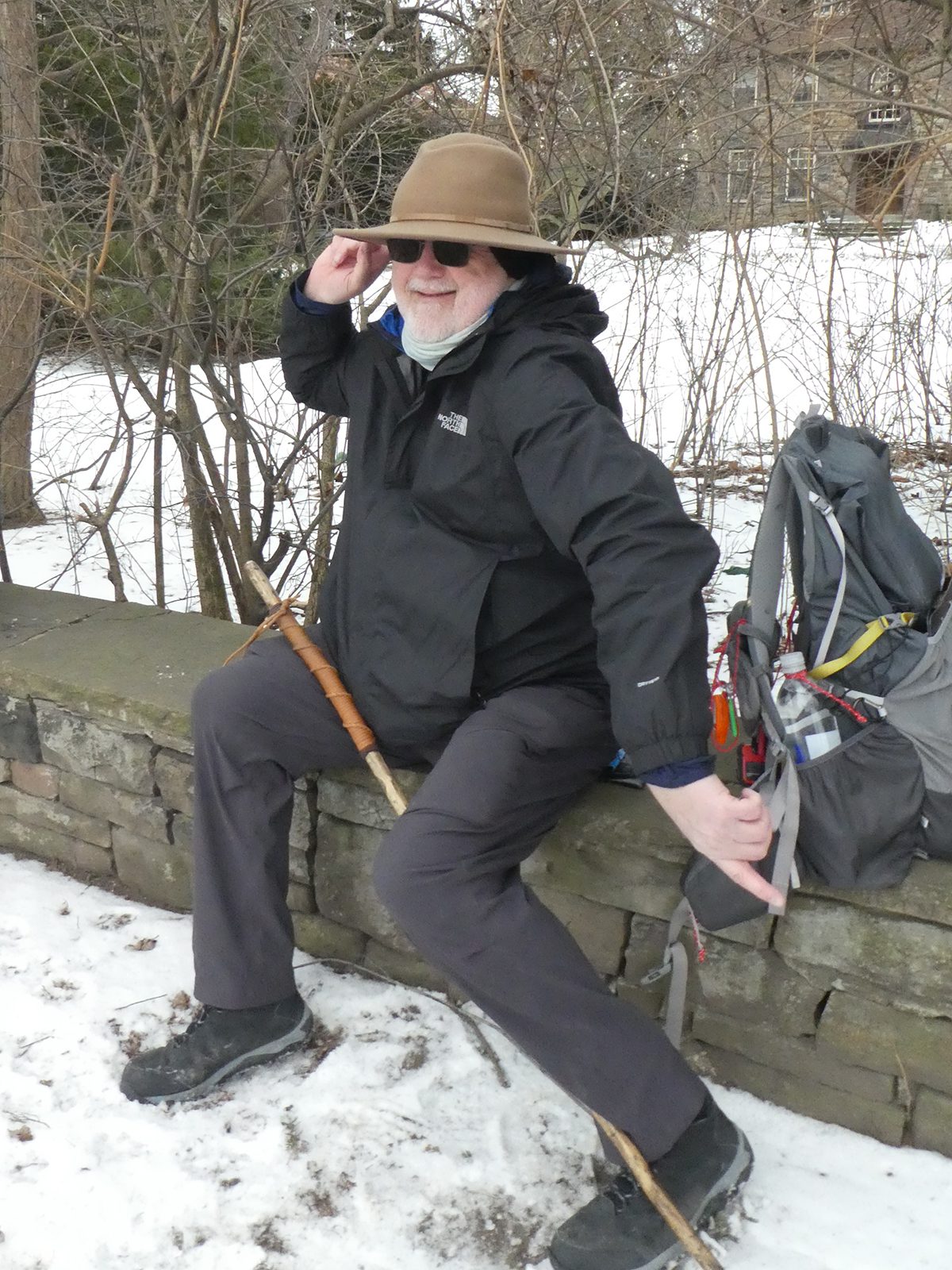
Waterfront Trail 3/11 – Long Branch
https://hikes.brucetrail.org/event/waterfront-trail-3-11-long-branch-2/Sorry, the registration cut-off time for this hike has been reached.Not a member? Click here to join today!Hosting Club: Toronto
Category: Urban Walk
Location (Google Maps): Etobicoke Waterfront TrailHike Leader(s): Brian Rideout Click here to contact Hike Leader(s)
Pace: Moderate (3-4 km/hr)
Terrain: Flat
Distance (km): 9 kmDescription
Please join me at Kipling Station by 9:15 am. We will take the 123 bus departing 9:30 am, arriving 9:53 am. If you want to meet us at the Long Branch loop, be there by 9:53 am. We start hiking at 10:00 am.We will hike to the lake and then east to Parklawn. There we can catch a bus to Old Mill Station or take the Lakeshore bus / streetcar. The estimated distance is 9 km. Here is an online map of our route – Long Branch to Parklawn https://onthegomap.com/s/h1dkuq9t
Bring a snack, at least 2 liters of water, sub screen and bug spray.
- 20July 20, 2026No events
- 21July 21, 2026
Urban Walk: East Don Trail
https://hikes.brucetrail.org/event/urban-walk-east-don-trail/Sorry, the registration cut-off time for this hike has been reached.Not a member? Click here to join today!Hosting Club: Toronto
Category: Urban Walk
Location (Google Maps): Meet in front of the East York Memorial Arena (Cosburn Avenue & Cedarvale, one block east of Woodbine Avenue). From Woodbine Station take the #91 Woodbine or #93 Parkview Hills bus to Cosborn and walk one block east. Or from Brodview Station or Main Street Station take the Cosburn #87A or #87C Bus to Cedarvale Avenue. Main Street Station is closer. Pubic washrooms are available in the park.Hike Leader(s): Tom Swales Click here to contact Hike Leader(s)
Pace: Moderate (3-4 km/hr)
Terrain: Flat, Hilly, Level 2 (Intermediate – some hills and uneven surfaces, rocks and roots underfoot), Variable
Distance (km): 8 kmDescription
Join me in one of a series of weekday morning urban hikes in Toronto. We will hike part of Taylor Creek Park towards the Forks Of The Don and then explore the newly opened trail connection on the East Don taking us north to Eglinton (Sloane Station on Line 5) It is a paved path which oficially opens July 13th. This is Phase 1 of the trail which will eventually connect the trail to the Gataineau Hydro Corridor (The MeadowWay), Wigmore Park, Moccasin Trail Park, and the East Don Trail to Lawrence. If you would like to join us for lunch (optional) my pick for this hike is Best Hakka Chinese Restaurant (https://besthakka.ca/c/lunch-special/)Urban Walk: Valley View/Huntington Park
https://hikes.brucetrail.org/event/urban-walk-valley-view-huntington-park-9/Sorry, the registration cut-off time for this hike has been reached.Not a member? Click here to join today!Hosting Club: Toronto
Location (Google Maps): Parking lot is off Sycamore Drive, East of Bayview , across Starbucks plaza
Bus 91 from Finch East station stops at Sycamore station.Hike Leader(s): Mohammad Aghamiri
Pace: Moderate (3-4 km/hr)
Terrain: Hilly, Level 2 (Intermediate – some hills and uneven surfaces, rocks and roots underfoot)
Distance (km): 6-7 kmDescription
We will explore Valleyview and Maple View parks, and walk along German Mill Creak, in return we stop in Huntington park and have snack under beautiful shed.Although this is considered an “Urban Walk”, you can expect some hills up and down and uneven surfaces with tree roots. Please bring hiking poles, water and snacks.
- 22July 22, 2026
Car Hike: Toronto Section E2E (2 of 4)
https://hikes.brucetrail.org/event/car-hike-toronto-section-e2e-2-of-4-2/Sorry, the registration cut-off time for this hike has been reached.Not a member? Click here to join today!Hosting Club: Toronto
Category: Car Hike
Location (Google Maps): Sixth Line Halton Hills, Bruce Trail Parking Lot, North of Limehouse, South of Highway 7 (26.6k marker, Edition 31)Hike Leader(s): David Rowney Click here to contact Hike Leader(s)
Pace: Moderate (3-4 km/hr)
Terrain: Variable
Distance (km): 15kDescription
This is a summer-time End-to-End hike to complete the Toronto section of the Bruce Trail in 4 hikes. Join for all or as many hikes as desired.This second hike will take us from the Bruce Trail Pear Tree Park to the Sixth Line, north of Limehouse. Once again, the terrain is not too hilly, but the footing is tricky with uneven, rocky sections to navigate.
July weather can be hot, muggy and buggy! So, dress for the weather, keeping in mind that insects, including ticks, will be out in full force. Take appropriate precautions to avoid insect bites, including using repellant and clothing that covers the legs and arms. Hiking shoes/boots are required and hiking poles are recommended.
Bring plenty of fluids, including electrolytes, and a snack and lunch.
As this is a group hike, please consider your fitness level before registering. We will be walking at a pace of 3km – 4km per hour and everyone is expected to keep up with the person in front of them for the duration of the hike.
Plan to arrive at the meeting place by 9:15 a.m. as we will start the car shuffle to the hike starting point at 9:30 a.m. sharp. Further details will be provided to registered hikers a few days prior to the hike.
- 23July 23, 2026
Urban Walk: Valley View/Huntington Park 215
https://hikes.brucetrail.org/event/urban-walk-valley-view-huntington-park-10/Sorry, the registration cut-off time for this hike has been reached.Not a member? Click here to join today!Hosting Club: Toronto
Location (Google Maps): Parking lot is off Sycamore Drive, East of Bayview , across Starbucks plaza
Bus 91 from Finch East station stops at Sycamore station.Hike Leader(s): Mohammad Aghamiri
Pace: Moderate (3-4 km/hr)
Terrain: Hilly, Level 2 (Intermediate – some hills and uneven surfaces, rocks and roots underfoot)
Distance (km): 6-7 kmDescription
We will explore Valleyview and Maple View parks, and walk along German Mill Creak, in return we stop in Huntington park and have snack under beautiful shed.Although this is considered an “Urban Walk”, you can expect some hills up and down and uneven surfaces with tree roots. Please bring hiking poles, water and snacks.
- 24July 24, 2026No events
- 25July 25, 2026
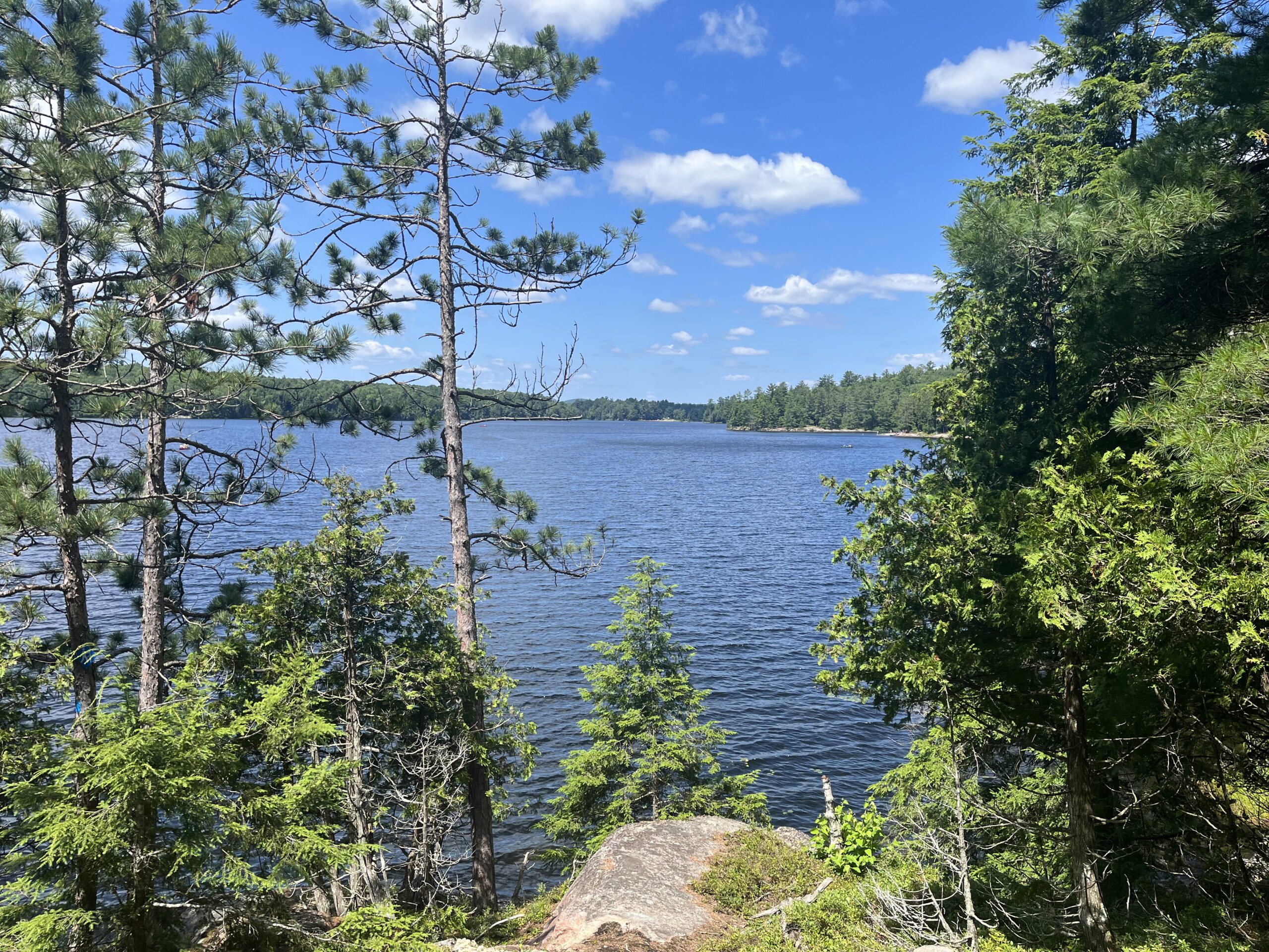
Coach Trip: Silent Lake Provincial Park
https://hikes.brucetrail.org/event/coach-trip-silent-lake-provincial-park-3/Sorry, the registration cut-off time for this hike has been reached.Not a member? Click here to join today!Trip Information
Departure Time: 07:30
Return to City Time: 19:30
Departure Point: York Mills Bus PickupTrip Activities
Fast hike & swim ($0.01)
Moderate hike ($0.01)
Short hike & swim ($0.01)
Optional ItemsHosting Club: Toronto
Category: Coach Trips
Location (Google Maps): Silent Lake Provincial ParkHike Leader(s): Martina Furrer, Marie-Josée Roy, Leonora Rochwerger, Leila Damband, Janet McColeman, Celia Ho Click here to contact Hike Leader(s)
Pace: Brisk (4-5 km/hr), Moderate (3-4 km/hr)
Terrain: Hilly, Level 2 (Intermediate – some hills and uneven surfaces, rocks and roots underfoot), Variable
Distance (km): Fast (16 km at greater than 4 km/hr), moderate (16 km at 3 km/hr), short hike (10 to 12 km at 3 km/hr)Description
Join us for a fun summer day at beautiful Silent Lake Provincial Park in the heart of the Kawarthas. Choose your own adventure:- Fast hike and swim: Hike the Silent Lake loop (16 km, 4.5 km/hr pace, no dropouts) with Martina and Marie-Josée , then cool off with a dip in Silent Lake.
- Moderate hike: Hike the Silent Lake loop (16 km, 3 km/hr pace, no dropouts) with Leonora and Leila. This group will not have time for swimming.
- Short hike and swim: An in an out hike (10 to 12 km, 3 km/hr pace) along the Lakeshore and Bonnie’s pond trails with Janet and Celia.
- A self-guided day on the water: Float with the loons as you paddle and swim on peaceful Silent Lake. Canoe, kayak, and stand up paddleboard rentals available ($25 + HST for two hours, $40 + HST for six hours).
All three hiking options include gorgeous views and some challenging rocks.
Bring lunch, water, snacks, and your swimming gear.
No refreshment stop but there are washrooms and drinking water taps by the day use beach, and you can purchase ice cream and cold drinks in the park store.
Bus departs 10 York Mills Rd at 7:30 AM. We hope to be back in the city by 8 PM. Registration cost includes bus fare and park admission.
Car Hike: Uxbridge-Brock Track
https://hikes.brucetrail.org/event/car-hike-uxbridge-brock-track-7/Sorry, the registration cut-off time for this hike has been reached.Not a member? Click here to join today!Hosting Club: Toronto
Category: Car Hike
Location (Google Maps):Meet at the 1401 Brock Rd, Brock Tract parking lot on the east side of Durham 1/Brock Rd., approximately 5 km south of Coppin’s Corners, Uxbridge or 1 km north of Uxbridge Pickering Town Line. 1401. (Free parking).
Hike Leader(s): Amir Alemohammad Click here to contact Hike Leader(s)
Pace: Moderate (3-4 km/hr)
Terrain: Flat, Hilly, Level 2 (Intermediate – some hills and uneven surfaces, rocks and roots underfoot), Variable
Distance (km): 14-15 kmDescription
Join us for a wonderful hike in Uxbridge starting from Brock Track parking lot. We will hike the Brock Track and Wilder Forest among the amazing trails of Uxbridge.Boots mandatory, poles recommended, bring 2 litres of water and dress according to weather conditions.
Please arrive at 7:45 for a 8:00 start.
Beware, Iphone Maps may take you to the wrong location. Check the location with Google Maps the previous night.
This is a joint hike with Oak Ridges Trail Association (ORTA).
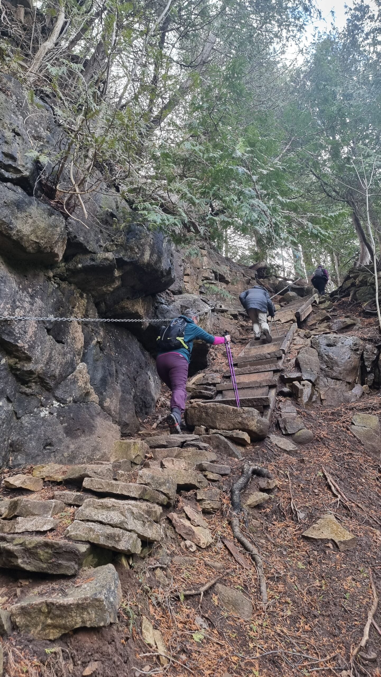
Car Hike: Forks of the Credit - Devil's Pulpit
https://hikes.brucetrail.org/event/car-hike-forks-of-the-credit-devils-pulpit-2/Sorry, the registration cut-off time for this hike has been reached.Not a member? Click here to join today!Hosting Club: Toronto, Caledon Hills
Category: Car Hike
Location (Google Maps):Devil’s Pulpit – Meet at roadside parking, at intersection of Creditview Road and Grange Sideroad. N43.791491, W-79.975229. Map 14 Edition 31. Please arrive fifteen minutes early.
Hike Leader(s): Mr Ross Click here to contact Hike Leader(s)
Pace: Brisk (4-5 km/hr), Moderate (3-4 km/hr)
Terrain: Challenging, Level 2 (Intermediate – some hills and uneven surfaces, rocks and roots underfoot), Level 3 (Advanced – steep hills and some scrambling over boulders), Rocky
Distance (km): 12-13 kmsDescription
Hiking’s beauty is it’s simplicity. You set your destination and start the journey. Hiking is the most natural way of fueling your body, mind and spirit while savoring the beauty of the landscape around you. You feel the breathe of fresh air and the earth under your feet. So join me and others explore and visit the Devil at the – Devil’s Pulpit and it’s nearby Side Trails. A comfortable, sturdy hiking shoe/boot and hiking poles are highly recommended to tackle the rocky section. Please bring sufficient hydration liquid, snack and lunch. Bring sunscreen, bug repellent and sun head protection. Always carry your personal medication (if any) and health card at all time. Don’t forget your enthusiasm. Please arrive fifteen minutes early for 8:30 start.Milne Dam Conservation park/ Hike and picnic
https://hikes.brucetrail.org/event/car-hike-glasgow-village-uxbridge-8/Sorry, the registration cut-off time for this hike has been reached.Not a member? Click here to join today!Hosting Club: Toronto
Location (Google Maps): Milne Dam Conservation park,Park entry fee is $12.50 per car ,it is also possible to park outside park in commercial parking lots or streets around park and enter the park for free.
Hike Leader(s): MOHAMMAD AGHAMIRI Click here to contact Hike Leader(s)
Pace: Moderate (3-4 km/hr)
Terrain: Hilly, Level 2 (Intermediate – some hills and uneven surfaces, rocks and roots underfoot), Variable
Distance (km): 8-10Description
This is a hike for 2,5 hours and it is opttional for hikers to join our annual picnic for lunch,You can bring your own food or order your food from a persian restaurent ,the cost is $20 to 30 tax included depends on type of food u order.
for order message me @416 616 4105
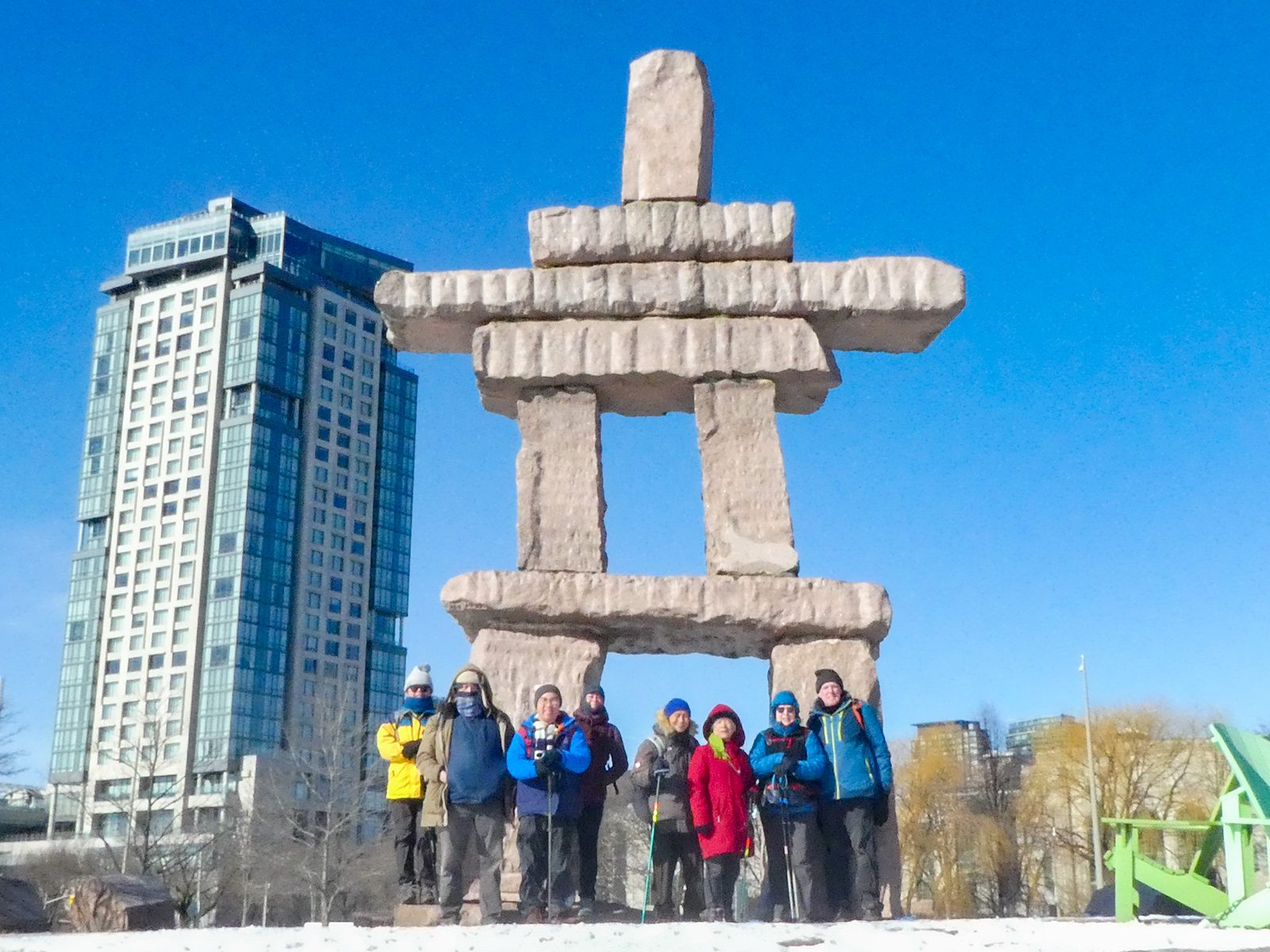
Urban Walk: Waterfront Trail 4/11 – Parklawn
https://hikes.brucetrail.org/event/urban-walk-waterfront-trail-4-11-parklawn-3/Sorry, the registration cut-off time for this hike has been reached.Not a member? Click here to join today!Hosting Club: Toronto
Category: Urban Walk
Location (Google Maps): Toronto Waterfront Trail WestHike Leader(s): Brian Rideout Click here to contact Hike Leader(s)
Pace: Moderate (3-4 km/hr)
Terrain: Flat
Distance (km): 9.1 kmDescription
Please join me at Old Mill Station no later than 9:12 am. We will take the 66 bus departing 9:27 am, arriving 9:40 am. If you want to meet us at Parklawn and Lakeshore, please be there by 9:40 am. We start hiking at 9:50 am.We will hike east along the lake to Spadina. The estimated distance is 9.1 km. Here is an online map of our route Parklawn to Spadina
Bring a snack, at least 2 liters of water, sun screen and bug spray