
Join us for a hike! Registration required:
All hikes available to BTC members. Some hikes are open to non-members.
TIP: The calendar view displays up to 7 hikes on a day, but often there are more. Click “More events” to see them all.
Toronto Hike Schedule
Toronto Bruce Trail Club Registration Live Dates
Day Winter Coach Program
Registration begins two weeks in advance of the event departure (at 8:00 PM)
Day Bus Hikes
Registration begins two weeks in advance of the event departure (at 8:00 PM) with some exceptions of special event hikes
Day Coach Hikes
Registration begins 7 weeks in advance of the event departure
Day Car Hikes and Urban Hikes
Registration begins two weeks in advance of the event departure
Overnight and Weekend Trips
Registration begins 12 weeks in advance of the event departure
To view all Bruce Trail Conservancy Hikes click here
- 12July 12, 2026
Car Hike: Jefferson Forest/Bond Lake
https://hikes.brucetrail.org/event/car-hike-jefferson-forest-bond-lake-5/Sorry, the registration cut-off time for this hike has been reached.Not a member? Click here to join today!Hosting Club: Toronto
Category: Car Hike
Location (Google Maps):1245 Bethesda Side Rd, Richmond Hill, ON L4E 1A2 ( Bethesda Trail Head Parking lot)
Hike Leader(s): Amir Alemohammad Click here to contact Hike Leader(s)
Pace: Moderate (3-4 km/hr)
Terrain: Challenging, Flat, Hilly, Level 2 (Intermediate – some hills and uneven surfaces, rocks and roots underfoot), Variable
Distance (km): 14-16KmDescription
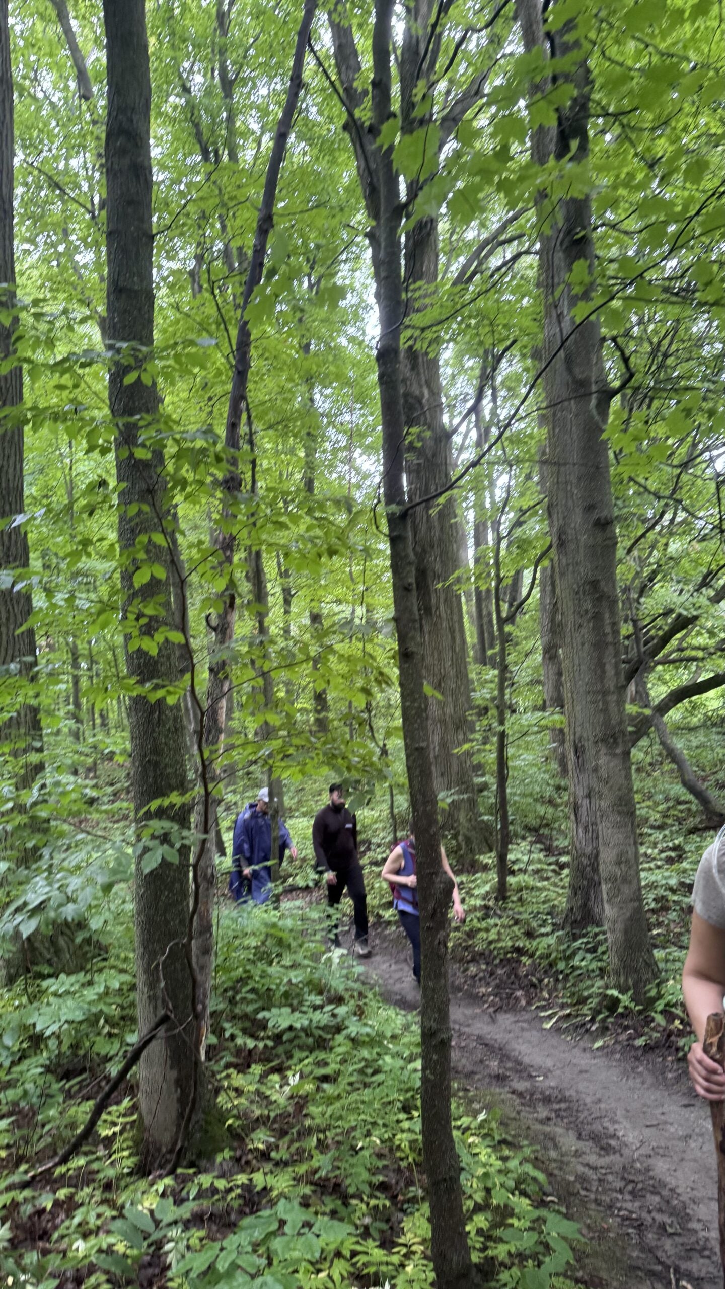
Let’s roll the hills of the Jefferson Forest and around the Bond Lake. Every week we hike in Jefferson Forest, located in the heart of Richmond Hill, it boasts numerous hiking trails. This 4 hour hike can range from 14 to 16 kilometres, depending on the weather conditions. Remember to bring water, snacks, hiking boots (mandatory), poles, and your camera. Not recommended for beginners. Park in the free Bethesda parking lot and avoid parking along the road. Dress appropriately for the weather. Difficulty Level: 2 (Moderate).Please arrive @7:45AM for start of 8:00AM.
This is a joint hike with the Oak Ridges Trail Association (ORTA).
what3words:
https://w3w.co/twisting.mailer.awakes
Car Hike; Mono Cliffs, Map 19
https://hikes.brucetrail.org/event/car-hike-mono-cliffs-9/Sorry, the registration cut-off time for this hike has been reached.Not a member? Click here to join today!Hosting Club: Toronto, Caledon Hills, Dufferin Hi-Land
Category: Car Hike
Location (Google Maps):Mono Cliffs Provincial Park, Map 19
Hike Leader(s): Al Brown Click here to contact Hike Leader(s)
Pace: Moderate (3-4 km/hr)
Terrain: Level 2 (Intermediate – some hills and uneven surfaces, rocks and roots underfoot), Variable
Distance (km): 9 kmDescription
We will complete a loop hike through Mono Cliffs PP. The route will be about 80% under forest canopy. We will stop at several viewpoints and natural features along the way.After the hike those interested may gather at a local establishment for refreshments.
To get to the meeting point take Hwy 10 north past Orangeville to County Rd 8 (Mono Centre Road). Proceed east about 6 km to Mono Centre. The parking area for the community centre is 200 meters south of the T-intersection if you go too far. The entrance to the parking area is on your right just before a tennis court.
- 13July 13, 2026No events
- 14July 14, 2026
Urban Walk - , Toronto Waterfront
https://hikes.brucetrail.org/event/urban-walk-toronto-waterfront-2/Sorry, the registration cut-off time for this hike has been reached.Not a member? Click here to join today!Hosting Club: Toronto
Category: Urban Walk
Location (Google Maps):Meet at Beaty Boulevard Park at the south side of the intersection of Roncesvalles and Queen Street near the pedestrian bridge crossing the Gardiner Expressway
Hike Leader(s): Tom Swales Click here to contact Hike Leader(s)
Pace: Moderate (3-4 km/hr)
Terrain: Flat, Level 1 (Easy – mostly on flat, well maintained trails with hard-packed surface)
Distance (km): 8 KMDescription
Join us for a morning walk along the Toronto Waterfront Trail from the foot of Roncesvalles to Bay Street/Union Station. Bring snack to have along the way.Urban Walk: Valley View /Huntington Park
https://hikes.brucetrail.org/event/urban-walk-valley-view-huntington-park-7/Sorry, the registration cut-off time for this hike has been reached.Not a member? Click here to join today!Hosting Club: Toronto
Location (Google Maps): Parking lot is off Sycamore Drive, East of Bayview , across Starbucks plaza
Bus 91 from Finch East station stops at Sycamore station.Hike Leader(s): Mohammad Aghamiri
Pace: Moderate (3-4 km/hr)
Terrain: Hilly, Level 2 (Intermediate – some hills and uneven surfaces, rocks and roots underfoot)
Distance (km): 6-7 kmDescription
We will explore Valleyview and Maple View parks, and walk along German Mill Creak, in return we stop in Huntington park and have snack under beautiful shed.Although this is considered an “Urban Walk”, you can expect some hills up and down and uneven surfaces with tree roots. Please bring hiking poles, water and snacks.
- 15July 15, 2026
Car Hike: Toronto Section End to End (1 of 4)
https://hikes.brucetrail.org/event/car-hike-toronto-section-end-to-end-1-of-4-2/Sorry, the registration cut-off time for this hike has been reached.Not a member? Click here to join today!Hosting Club: Toronto
Category: Car Hike
Location (Google Maps): Bruce Trail Pear Tree Park – 15th Sideroad, 200m southwest of Regional Rd 25 (11.4k marker, Edition 31)Hike Leader(s): David Rowney Click here to contact Hike Leader(s)
Pace: Moderate (3-4 km/hr)
Terrain: Variable
Distance (km): 11.9kDescription
This is a summer-time End-to-End hike to complete the Toronto section of the Bruce Trail in 4 hikes. Join for all or as many hikes as desired. You may use this hike towards your E2E Fundraiser Badge (you must complete at least 3 of the 4 hikes with the group to qualify) or a regular E2E badge.This first hike will take us from the start of the Toronto Section just south of Hilton Falls Conservation area to the Bruce Trail Pear Tree Park. The terrain is not too hilly, but the footing is tricky with many uneven, rocky sections to navigate.
July weather can be hot, muggy and buggy! So, dress for the weather, keeping in mind that insects, including ticks, will be out in full force. Take appropriate precautions to avoid insect bites, including using repellant and clothing that covers the legs and arms. Hiking shoes/boots are required and hiking poles are recommended.
Bring plenty of fluids, including electrolytes, and a snack/lunch.
As this is a group hike, please consider your fitness level before registering. We will be walking at a pace of 3km – 4km per hour and everyone is expected to keep up with the person in front of them for the duration of the hike.
Plan to arrive at the meeting place by 9:15 a.m. as we will start the car shuffle to the hike starting point at 9:30 a.m. sharp. Further details will be provided to registered hikers a few days prior to the hike.
- 16July 16, 2026
Urban Walk: Valley View/Huntington Park
https://hikes.brucetrail.org/event/urban-walk-valley-view-huntington-park-8/Sorry, the registration cut-off time for this hike has been reached.Not a member? Click here to join today!Hosting Club: Toronto
Location (Google Maps): Parking lot is off Sycamore Drive, East of Bayview , across Starbucks plaza
Bus 91 from Finch East station stops at Sycamore station.Hike Leader(s): Mohammad Aghamiri
Pace: Moderate (3-4 km/hr)
Terrain: Hilly, Level 2 (Intermediate – some hills and uneven surfaces, rocks and roots underfoot)
Distance (km): 6-7 kmDescription
We will explore Valleyview and Maple View parks, and walk along German Mill Creak, in return we stop in Huntington park and have snack under beautiful shed.Although this is considered an “Urban Walk”, you can expect some hills up and down and uneven surfaces with tree roots. Please bring hiking poles, water and snacks.
Car Hike: Silver Creek Conservation Area
https://hikes.brucetrail.org/event/car-hike-silver-creek-conservation-area/Sorry, the registration cut-off time for this hike has been reached.Not a member? Click here to join today!Hosting Club: Toronto
Category: Car Hike
Location (Google Maps): We will meet at the trailhead and park our cars along the street, roadside parking along 13479 Fallbrook Trail (coordinates are 43.6921, -79.9668).Hike Leader(s): Talise Liang & Monica Pasquali Click here to contact Hike Leader(s)
Pace: Moderate (3-4 km/hr)
Terrain: Level 2 (Intermediate – some hills and uneven surfaces, rocks and roots underfoot)
Distance (km): 11Description
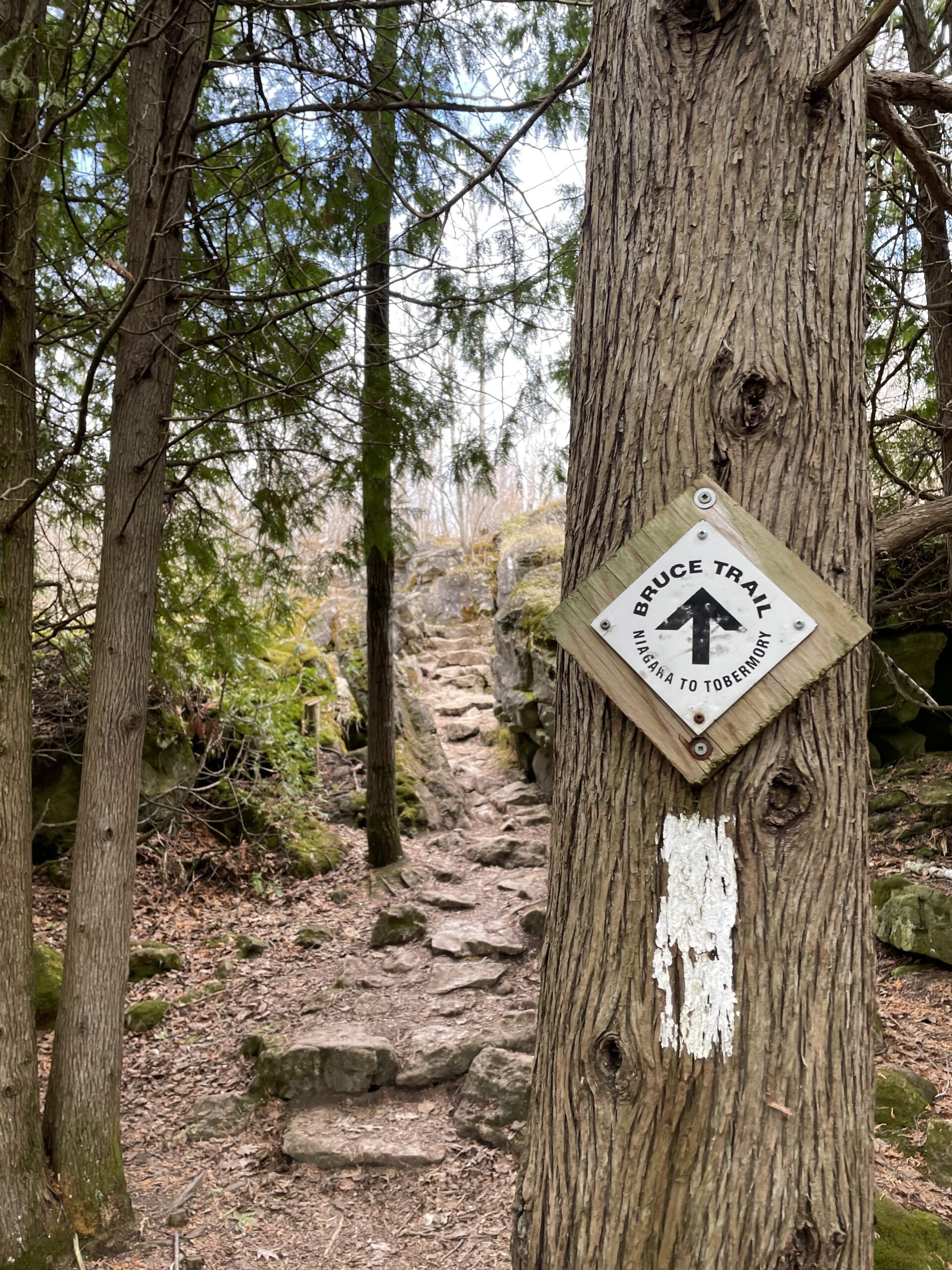
Hi everyone! Hike with me at Silver Creek Conservation Area!We will begin by hiking a loop that follows the Irwin Quarry Side Trail and the main Bruce Trail north, climbing the escarpment before descending south along Roberts Side Trail, where we will hopefully spot some wildlife around a small pond. This loop returns to our parked cars, allowing hikers who prefer a shorter hike to drop out here.
Those who would like a longer hike can continue south with me along the main Bruce Trail, crossing 27 Sideroad before connecting with the Maureen Smith Side Trail. From there, we will head north on the Bennett Heritage Side Trail, enjoying scenic escarpment terrain and several bridges along the way. After a short stretch of road walking along 27 Sideroad, we will return to our parked cars.
You should bring enough water and food for a 3-4 hour hike that is hiked at a moderate pace of about 4 km/h, comfortable hiking shoes, sun and bug protection, and appropriate clothing for the weather.
Looking forward to seeing you then!
- 17July 17, 2026
School Bus Hike: Sandbanks Provincial Park
https://hikes.brucetrail.org/event/school-bus-hike-sandbanks-provincial-park/Sorry, the registration cut-off time for this hike has been reached.Not a member? Click here to join today!Trip Information
Departure Time: 08:30
Return to City Time: 18:00
Departure Point: York Mills Bus PickupOptional Items
Hosting Club: Toronto
Category: Bus Hike
Location (Google Maps):Sandbanks Provincial Park
Hike Leader(s): Celia Ho, Tom Swales Click here to contact Hike Leader(s)
Pace: Moderate (3-4 km/hr)
Terrain: Level 1 (Easy – mostly on flat, well maintained trails with hard-packed surface), Variable
Distance (km): 10-11 kmDescription
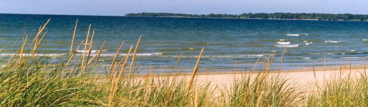
Join us on our a Friday bus hike to celebrate Healthy Parks Healthy People Day 2026 and explore Sandbanks Provincial Park in Picton, Prince Edward County, ON. We will be enjoying the world’s largest baymouth barrier dune formation, sandy beaches and breathtaking views along the edge of Lake Ontario.There will be a refreshment stop in Main Street Wellington after the hike before returning to Toronto. The village of Wellington features the Wellington Heritage Museum, the Wellington beach with a beautiful boardwalk along the shore to a lighthouse, and local restaurants, cafes and breweries.
Note: No Fee will be charged for the Provincial Park entry since it is Healthy Parks Healthy People Day (free admission to Ontario provincial parks).
- 18July 18, 2026
Car Hike: Rouge Park
https://hikes.brucetrail.org/event/car-hike-rouge-national-park-scarborough-on-3/Sorry, the registration cut-off time for this hike has been reached.Not a member? Click here to join today!Hosting Club: Toronto
Location (Google Maps): Free parking in Mast Trail parking Lot off Kingston Road
Hike Leader(s): MOHAMMAD AGHAMIRI Click here to contact Hike Leader(s)
Pace: Moderate (3-4 km/hr)
Terrain: Hilly, Level 2 (Intermediate – some hills and uneven surfaces, rocks and roots underfoot)
Distance (km): 14-15 kmDescription
We will hike Vista trail and part of orchard trail, will enjoy look outs between Rouge river and Little Rouge creek
• Please dress appropriately for the weather.
• We will have short water ,picture and a 15 minute snack break. Everyone is welcome!Please bring lots of water and snacks ,hiking poles are recommended
phone number for the day of hike 289 588 6482

Winery Tasting & Tour Hike (Cancelled Due To Low Registration0
https://hikes.brucetrail.org/event/swayze-falls-to-short-hills-provincial-park-tracing-rim-of-africa-bruce-trail-friendship-trail/Sorry, the registration cut-off time for this hike has been reached.Not a member? Click here to join today!Hosting Club: Toronto
Category: Cancelled
Location (Google Maps): Kipling Subway Departure PointHike Leader(s): Mr Ross Click here to contact Hike Leader(s)
Pace: Moderate (3-4 km/hr)
Terrain: Hilly, Level 2 (Intermediate – some hills and uneven surfaces, rocks and roots underfoot), Variable
Distance (km): 8.5 kmDescription
** Due to the fact that we have not been able to secure a sufficient number of registrations to cover enough of the cost of the bus charter, this bus hike has been cancelled **Join us at a moderate pace hike at Short Hills Provincial Park tracing the Rim of Africa Bruce Trail Friendship Trail. Along the way we’ll see the beauty of Terrace Creek Falls and Swayze Falls and it’s surrounding landscape. The trail is ideal for a moderate cardio exercise for the wellness of our mind, body and spirit. Day hike essentials to bring; snack/lunch, hydration fuel, sunscreen, full brim hat for sun protection and insect repellent in the event our friendly mosquitoes welcome us. Hiking shoe and poles are highly recommended. From the finish of our hike the bus will take us to Pillitteri Estate Winery (official wine supplier of Canada’s Olympic Team). We’ll experience and enjoy a private structured wine tasting (four wines selected by the host) and tour by one or more of their knowledgeable and friendly staff where we’ll learn the art of winemaking from the vineyard to the wine lounge. The cost per person of tasting and tour is $20.00 (tax & tip included) and must be paid at time of registration via Interac E-Transfer to ross.estrella@rogers.com. Registration starts June 19 and if the minimum required participants is not achieved by July 10th, this event will be cancelled and registered participant’s bus and tasting/tour fees will be refunded. Register early don’t missed out and delay.
Thank you and see you at the trail and winery lounge.
Please arrive at least fifteen minutes prior to the bus departure time. The bus will not wait for latecomers.
(To be postponed due to weather) RAINBOW HIKE🌈: Hilly Hike in Caledon Hills
https://hikes.brucetrail.org/event/rainbow-hike%f0%9f%8c%88-hilly-hike-in-caledon-hills/Sorry, the registration cut-off time for this hike has been reached.Not a member? Click here to join today!Hosting Club: Toronto, Caledon Hills
Category: Cancelled
Location (Google Maps): We will meet at the Hockley Road Parking Area (coordinates are 43.972857, -80.056330).Hike Leader(s): Monica Pasquali Click here to contact Hike Leader(s)
Pace: Leisurely (2-3 km/hr), Moderate (3-4 km/hr)
Terrain: Hilly, Level 2 (Intermediate – some hills and uneven surfaces, rocks and roots underfoot), Level 3 (Advanced – steep hills and some scrambling over boulders)
Distance (km): 10 kmDescription
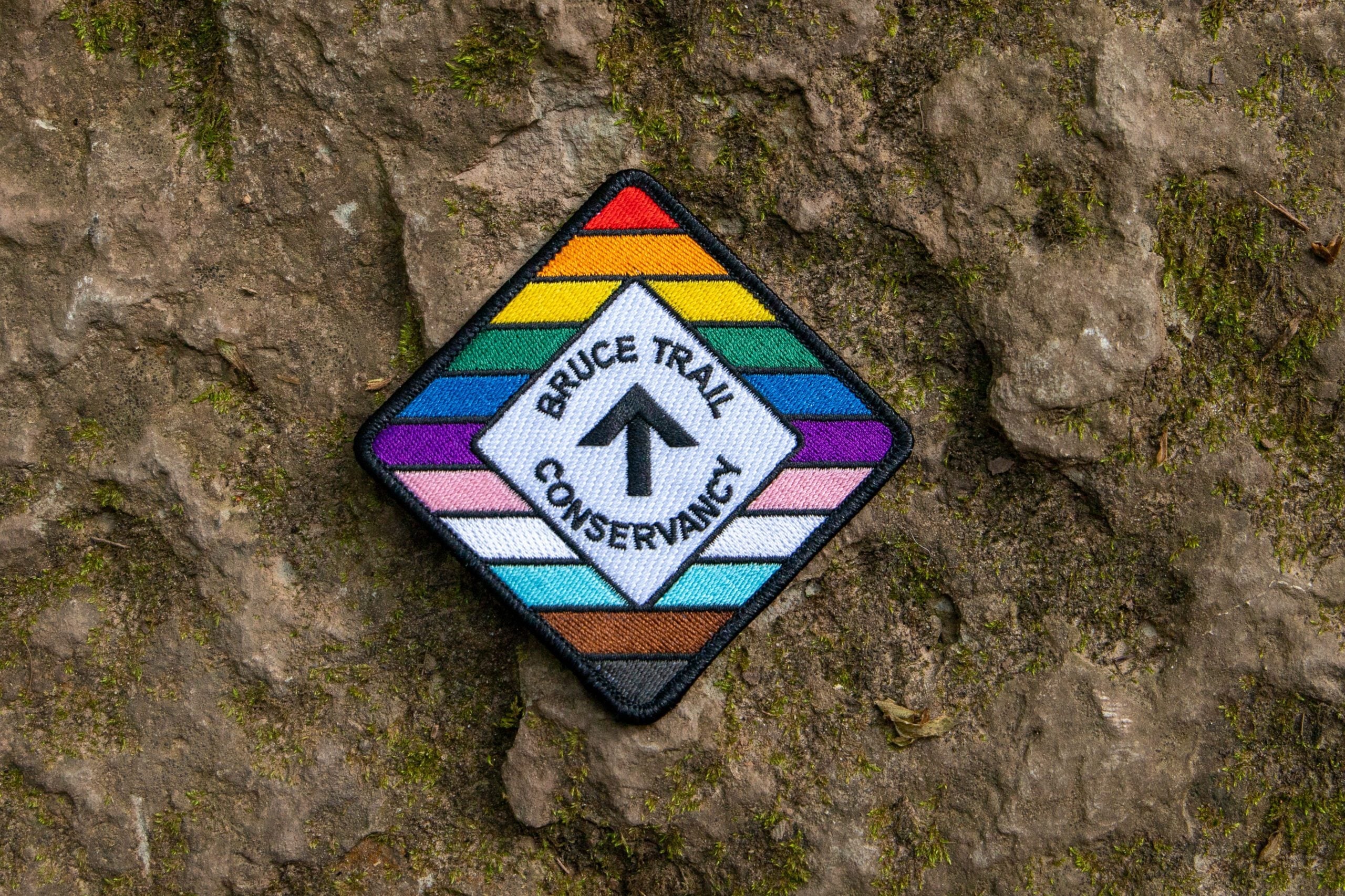
This hike is part of our Rainbow Hike program🌈, which aims to foster connection, visibility, and community among 2SLGBTQIA+ hikers and allies. We’ll be joined by Doug O’Neill, who leads Rainbow Hikes with the Iroquoia Bruce Trail Club, and Lana Hubbard, a transgender hike leader with the Caledon Bruce Trail Club.After everyone checks in with me at the meeting location we’ll do a 10 km out-and-back hike of the main trail through beautiful Hockley Valley Provincial Nature Reserve. Our route will follow a very hilly part of the Bruce Trail, but don’t worry — we’ll summit the hills slowly and take lots of breaks along the way, so any fit Rainbow Hiker is welcome to join us.
Everyone who participates in this hike will receive a FREE Bruce Trail Pride Badge!
Please bring at least 2 litres of water, your lunch, and enough snacks for a 4-hour hike. You should wear comfortable hiking shoes and socks, a hat, a breathable shirt, and lightweight long pants (to minimize the risk of a tick bite). If rain is in the forecast then a rain jacket would also be a great idea. Sunblock and bug repellent are also useful if it’s a sunny and buggy day.
After the hike, anyone who is interested in joining me for a refreshing mocktail at nearby Hockley Valley Resort (https://hockley.com/eat/) is more than welcome to do so.
Looking forward to hiking with you on July 18th! And feel free to share this page/link with your 2SLGBTQIA+ friends and family.
For more information on Bruce Trail’s 2SLGBTQIA+ hikes, and to get information on upcoming Rainbow Hikes, please see the following webpage: https://brucetrail.org/pride-2026/