
Join us for a hike! Registration required:
All hikes available to BTC members. Some hikes are open to non-members.
TIP: The calendar view displays up to 7 hikes on a day, but often there are more. Click “More events” to see them all.
Toronto Hike Schedule
Toronto Bruce Trail Club Registration Live Dates
Day Winter Coach Program
Registration begins two weeks in advance of the event departure (at 8:00 PM)
Day Bus Hikes
Registration begins two weeks in advance of the event departure (at 8:00 PM) with some exceptions of special event hikes
Day Coach Hikes
Registration begins 7 weeks in advance of the event departure
Day Car Hikes and Urban Hikes
Registration begins two weeks in advance of the event departure
Overnight and Weekend Trips
Registration begins 12 weeks in advance of the event departure
To view all Bruce Trail Conservancy Hikes click here
- 05July 5, 2026
Car Hike: Jefferson Forest/Bond Lake
https://hikes.brucetrail.org/event/car-hike-jefferson-forest-bond-lake-4/Sorry, the registration cut-off time for this hike has been reached.Not a member? Click here to join today!Hosting Club: Toronto
Category: Car Hike
Location (Google Maps):1245 Bethesda Side Rd, Richmond Hill, ON L4E 1A2 ( Bethesda Trail Head Parking lot)
Hike Leader(s): Amir Alemohammad Click here to contact Hike Leader(s)
Pace: Moderate (3-4 km/hr)
Terrain: Flat, Hilly, Level 2 (Intermediate – some hills and uneven surfaces, rocks and roots underfoot)
Distance (km): 12-13KmDescription
Let’s roll the hills of the Jefferson Forest and around the Bond Lake. Every week we hike in Jefferson Forest, located in the heart of Richmond Hill, it boasts numerous hiking trails. This 3.5 hour hike can range from 14 to 15 kilometres, depending on the weather conditions. Remember to bring water, snacks, hiking boots, poles, and your camera. Not recommended for beginners. Park in the free Bethesda parking lot and avoid parking along the road. Dress appropriately for the weather. Difficulty Level: 2 (Moderate).Please arrive @7:45AM for start of 8:00AM.
This is a joint hike with the Oak Ridges Trail Association (ORTA).
what3words:
https://w3w.co/twisting.mailer.awakes
Waterfront Trail 2/11 - Mississauga WF Trail
https://hikes.brucetrail.org/event/waterfront-trail-2-11-mississauga-wf-trail-2/Sorry, the registration cut-off time for this hike has been reached.Not a member? Click here to join today!Hosting Club: Toronto
Category: Urban Walk
Location (Google Maps):Mississauga Waterfront Trail
Hike Leader(s): Brian Rideout Click here to contact Hike Leader(s)
Pace: Moderate (3-4 km/hr)
Terrain: Flat
Distance (km): 8.9 kmDescription
Please join me at Union Station under the clock inside the Great Hall no later than 9:00 am. We will take the Lakeshore West train departing 9:14 am, arriving 9:42 am (subject to GO Transit schedule changes). If you want to meet us in Port Credit, please be there by 9:42 am. We start hiking no later than 10:00 am. Consider purchasing the $10 day pass for the GO train for use with your smart phone. Some of you may find the regular senior rate is cheaper. Purchase your ticket / pass in advance.We will hike from Port Credit to Long Branch along the shoreline. The estimated distance is 8.9 km. Here is an online map of our route – Port Credit to Long Branch https://onthegomap.com/s/8dml9cim
Bring a snack, at least 2 liters of water, sun screen and bug spray.
- 06July 6, 2026
Car Hike: Beaver valley E2E #1/5
https://hikes.brucetrail.org/event/car-hike-beaver-valley-e2e-hike-1-5/Sorry, the registration cut-off time for this hike has been reached.Not a member? Click here to join today!Hosting Club: Toronto, Beaver Valley
Category: Car Hike
Location (Google Maps):Meet at Kolapore parking, south of km 23.8 Grey Rd 2. Coordinates N 44.422919,W 80.405597 map 25
Hike Leader(s): Smadar Junkin Click here to contact Hike Leader(s)
Pace: Brisk (4-5 km/hr)
Terrain: Challenging, Hilly, Level 3 (Advanced – steep hills and some scrambling over boulders)
Distance (km): About 24kms. A little longer then the map shows because of a reroute.Description
This is the first of 5 consecutive days to complete the Beaver Valley section. Beaver Valley is beautiful and challenging section. Please note that these hikes are long and are at the height of summer. Please assess your ability to keep up with the pace and distance of these hikes series before registering.
we will shuttle to km 0.0 and hike back. Bring at least 2 litres of water, snacks and lunch. Bug repellent and sun screen.make sure to arrive at 8:15 for each hike so we can be in the cars and ready to go by 8:30. All participants need to drive car shuttles as many times as needed at the duration of these hikes. Please note that you need to register to each hike individually.
this is a no reply email. If you need to get in touch with me, please use my personal email address above.
- 07July 7, 2026
Car Hike: Beaver Valley E2E #2/5
https://hikes.brucetrail.org/event/car-hike-beaver-valley-e2e-hike-2-5/Sorry, the registration cut-off time for this hike has been reached.Not a member? Click here to join today!Hosting Club: Toronto, Beaver Valley
Category: Car Hike
Location (Google Maps):Same as day 1
Hike Leader(s): Smadar Junkin Click here to contact Hike Leader(s)
Pace: Brisk (4-5 km/hr)
Terrain: Challenging, Hilly, Level 3 (Advanced – steep hills and some scrambling over boulders)
Distance (km): 26kms and a bit of road walking on each end.Description
Please see hike instructions on day 1.we will shuttle to north of km 50.0 west side of Grey Rd 13 and walk back.
Urban Walk: ET Seton/Taylor Creek
https://hikes.brucetrail.org/event/urban-walk-et-seton-taylor-creek/Sorry, the registration cut-off time for this hike has been reached.Not a member? Click here to join today!Hosting Club: Toronto
Category: Urban Walk
Location (Google Maps): ET Seton Park and Taylor Creek Park. Meet at Sunnybrook Park Station on Line 5 (Eglinton Crosstown) at the interection of Eglionton Avenue and Leslie StreetHike Leader(s): Tom Swales Click here to contact Hike Leader(s)
Pace: Moderate (3-4 km/hr)
Terrain: Flat, Level 1 (Easy – mostly on flat, well maintained trails with hard-packed surface)
Distance (km): 8 kmDescription
Join us for a morning urban walk through ET Seton and Taylor Creek Parks.Map of route:
https://onthegomap.com/s/bq3rdkfc
The hike will finish at Victoria Park Subway Station on Line 2.
There is no washrooms at Sunnybrook Park Station (the nearest facilities are at Eglinton Station on Line 1 and Line 5). We will stop at facilities in the park at 1.6 km and 6.0 km.
Urban Walk: Valley View/Huntington Park
https://hikes.brucetrail.org/event/urban-walk-valley-view-huntington-park-thornhill/Sorry, the registration cut-off time for this hike has been reached.Not a member? Click here to join today!Hosting Club: Toronto
Location (Google Maps): Parking lot is off Sycamore Drive, East of Bayview , across Starbucks plaza
Bus 91 from Finch East station stops at Sycamore station.Hike Leader(s): Mohammad Aghamiri Click here to contact Hike Leader(s)
Pace: Moderate (3-4 km/hr)
Terrain: Hilly, Level 2 (Intermediate – some hills and uneven surfaces, rocks and roots underfoot)
Distance (km): 6-7 kmDescription
We will explore Valleyview and Maple View parks, and walk along German Mill Creak, in return we stop in Huntington park and have snack under beautiful shed.Although this is considered an “Urban Walk”, you can expect some hills up and down and uneven surfaces with tree roots. Please bring hiking poles, water and snacks.
- 08July 8, 2026
Car Hike: Beaver Valley E2E 3/5
https://hikes.brucetrail.org/event/car-hike-beaver-valley-e2e-3-5/Sorry, the registration cut-off time for this hike has been reached.Not a member? Click here to join today!Hosting Club: Toronto, Beaver Valley
Category: Car Hike
Location (Google Maps):Graham Hill Rd 60 meters to the west of km 74.2. Coordinates N 44.333807,W 80.554916 map # 26.
Hike Leader(s): Smadar Junkin Click here to contact Hike Leader(s)
Pace: Brisk (4-5 km/hr)
Terrain: Challenging, Hilly, Level 3 (Advanced – steep hills and some scrambling over boulders)
Distance (km): 24 kms.Description
Please see hike notes on hike #1. We will shuttle to km 50.0 and hike back. - 09July 9, 2026
Car Hike: Beaver Valley E2E 4/5
https://hikes.brucetrail.org/event/car-hike-beaver-valley-e2e-4-5/Sorry, the registration cut-off time for this hike has been reached.Not a member? Click here to join today!Hosting Club: Toronto, Beaver Valley
Category: Car Hike
Location (Google Maps):Same as day 3.
Hike Leader(s): Smadar Junkin Click here to contact Hike Leader(s)
Pace: Brisk (4-5 km/hr)
Terrain: Challenging, Hilly, Level 3 (Advanced – steep hills and some scrambling over boulders)
Distance (km): 21.5 kmsDescription
Please look at hike 1 for the instructions. We will shuttle to km 95.7 and walk back. - 10July 10, 2026
Car Hike: Beaver Valley E2E 5/5
https://hikes.brucetrail.org/event/car-hike-beaver-valley-e2e-5-5/Sorry, the registration cut-off time for this hike has been reached.Not a member? Click here to join today!Hosting Club: Toronto, Beaver Valley
Category: Car Hike
Location (Google Maps):Km 117.3 grey Rd 12. Coordinates N 44.500537,W 80.632902 map 28. Please note that this parking is not marked on the map. It is marked on the Bruce Trail App.
Hike Leader(s): Smadar Junkin Click here to contact Hike Leader(s)
Pace: Brisk (4-5 km/hr)
Terrain: Challenging, Hilly, Level 3 (Advanced – steep hills and some scrambling over boulders)
Distance (km): 21.6Description
Last day, badge day, treats day. We will shuttle to km 95.7 and hike back. See hike notes on day 1. - 11July 11, 2026
Car Hike: Exploring Uxbridge Trails
https://hikes.brucetrail.org/event/car-hike-exploring-uxbridge-trails/Sorry, the registration cut-off time for this hike has been reached.Not a member? Click here to join today!Hosting Club: Toronto
Category: Car Hike
Location (Google Maps):2499 Brock Rd, Uxbridge, ON L9P 1R4. We will meet at the East Duffins Headwaters parking lot at the WILDER FOREST trail head. As soon as you got off the Brock Road, passing the horse back riding facility, there is a free designated parking lot 70 meters down the lane to your right. It includes a sign board for East Duffins Headwaters with a map of the trails. Please do not park on the lane or in the horse back riding property.
Hike Leader(s): Amir Alemohammad Click here to contact Hike Leader(s)
Pace: Moderate (3-4 km/hr)
Terrain: Flat, Hilly, Variable
Distance (km): Approx.15-16 KmDescription
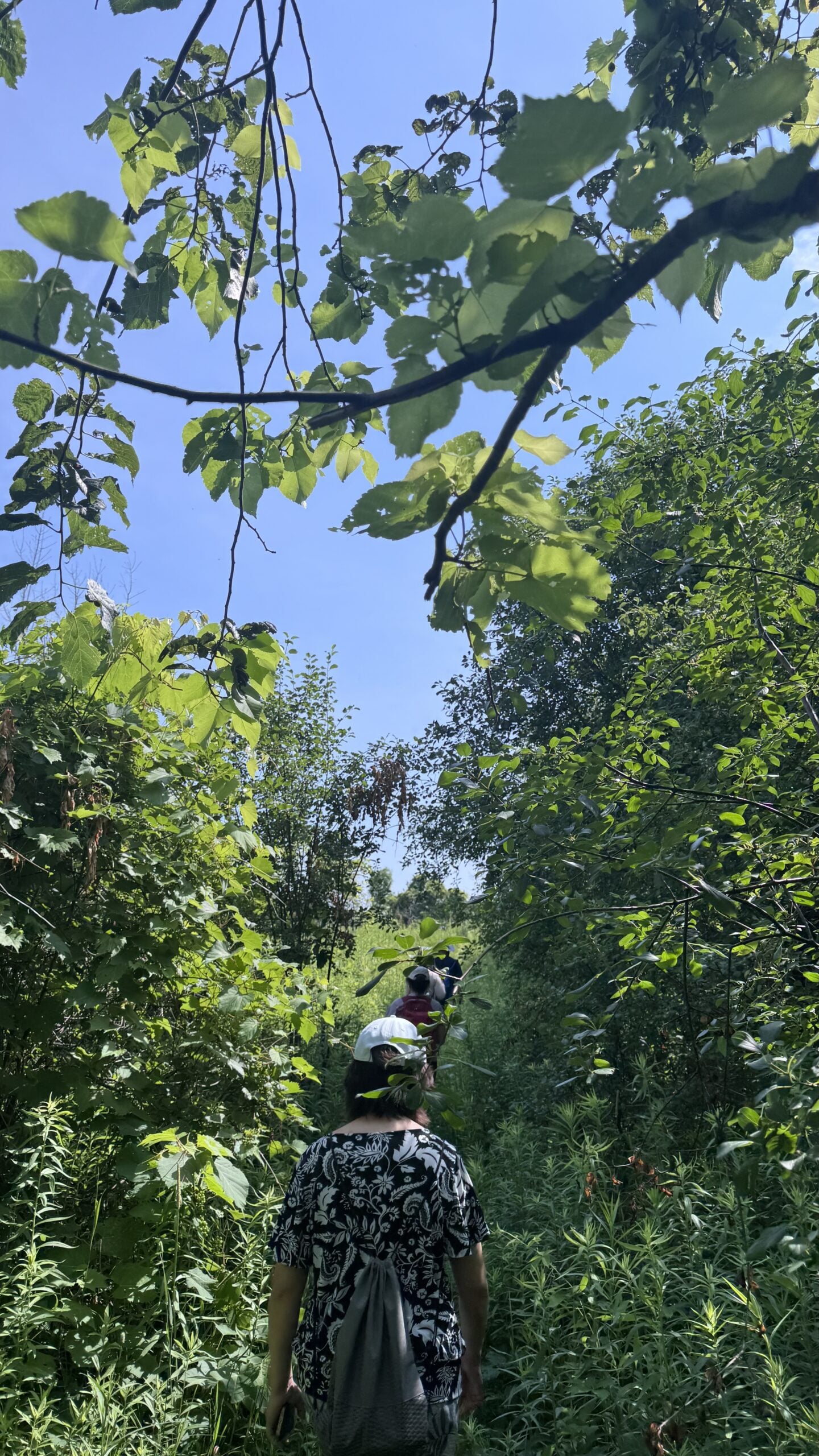
Join us for a delightful hike in Uxbridge, as we explore Wilder Forest, Walker Woods, and Glen Major Forest on a scenic loop starting from Brock Road. We’ll pass Concession Road 6, heading east and back, while also venturing onto several side trails for even more stunning views.What to Expect:
•Beautiful scenic views and lookouts facing south
•A mix of hilly and flat terrain
•Frequent 2-minute breaks for hydration and photos, with a 10 minute snack stop
•Stay on designated trails at all time
What to Bring and Wear:
•Hiking Boots (mandatory), poles (recommended) and be prepared for the ticks on the trail, keep your bug spray handy.
•At least 2 liters of water
•Your favorite snacks (pack your own refreshments for an outdoor meal)
•Dress according to variable weather conditions!
Important Details:
•Stay on the designated trails
•Be prepared for the elements and enjoy the adventure!
This hike is not recommended for beginners.
Looking forward to seeing you on the trail!
Don’t forget your camera and a smile as we explore the beauty of the Uxbridge trails!
This is a joint hike with the Oak Ridges Trail Association (ORTA).
School Bus Hike: Lynn Valley Trail
https://hikes.brucetrail.org/event/school-bus-hike-pathways-to-port-dover-lynn-valley-trail/Sorry, the registration cut-off time for this hike has been reached.Not a member? Click here to join today!Trip Information
Departure Time: 08:30
Return to City Time: 19:00
Departure Point: Kipling Departure PointOptional Items
Hosting Club: Toronto
Category: Bus Hike
Location (Google Maps):Lynn Valley Trail
Hike Leader(s): Tom Swales & Felix Wan Click here to contact Hike Leader(s)
Pace: Moderate (3-4 km/hr)
Terrain: Flat, Level 1 (Easy – mostly on flat, well maintained trails with hard-packed surface)
Distance (km): 12 kmDescription
Join us for a scenic and easy paced walk, a regular summer favorite along the trails running through Norfolk County from downtown Simcoe ending at historic Port Dover. The route is primarily on rail trails so is ideal for those who favor a flatter and easier route in the summer heat. Dropout at 8km. We will stop at the Simcoe Recreation Centre before the hike to use the facilities. After the hike there will be the opportunity to indulge in the local perch fish and chips or hang out at the beach which together make Port Dover famous. Long Distance Bus Fare applies and there will be a late return (after 6:00 Pm).Boyd Conservation park247
https://hikes.brucetrail.org/event/car-hike-boyd-conservation-park-vaughan-15/Sorry, the registration cut-off time for this hike has been reached.Not a member? Click here to join today!Hosting Club: Toronto
Location (Google Maps): Free Parking lot before entrance of park on Islington Ave.
Hike Leader(s): Mohammad Aghamiri Click here to contact Hike Leader(s)
Pace: Moderate (3-4 km/hr)
Terrain: Hilly, Level 2 (Intermediate – some hills and uneven surfaces, rocks and roots underfoot), Variable
Distance (km): 12-14 kmDescription
Let’s hike Boyd conservation park trails through beautiful valleys.Please bring lots of water and snacks ,hiking poles are recommended
phone number for the day of hike 289 588 6482
Waterfront Trail 3/11 - Long Branch
https://hikes.brucetrail.org/event/waterfront-trail-3-11-long-branch/Sorry, the registration cut-off time for this hike has been reached.Not a member? Click here to join today!Hosting Club: Toronto
Category: Urban Walk
Location (Google Maps):Etobicoke Waterfront Trail
Hike Leader(s): Brian Rideout Click here to contact Hike Leader(s)
Pace: Moderate (3-4 km/hr)
Terrain: Flat
Distance (km): 9 kmDescription
Please join me at Kipling Station by 9:15 am. We will take the 123 bus departing 9:30 am, arriving 9:53 am. If you want to meet us at the Long Branch loop, be there by 9:53 am. We start hiking at 10:00 am.We will hike to the lake and then east to Parklawn. There we can catch a bus to Old Mill Station or take the Lakeshore bus / streetcar. The estimated distance is 9 km. Here is an online map of our route – Long Branch to Parklawn
Bring a snack, at least 2 liters of water, sun screen and bug spray.