
Join us for a hike! Registration required:
All hikes available to BTC members. Some hikes are open to non-members.
TIP: The calendar view displays up to 7 hikes on a day, but often there are more. Click “More events” to see them all.
Toronto Hike Schedule
Toronto Bruce Trail Club Registration Live Dates
Day Winter Coach Program
Registration begins two weeks in advance of the event departure (at 8:00 PM)
Day Bus Hikes
Registration begins two weeks in advance of the event departure (at 8:00 PM) with some exceptions of special event hikes
Day Coach Hikes
Registration begins 7 weeks in advance of the event departure
Day Car Hikes and Urban Hikes
Registration begins two weeks in advance of the event departure
Overnight and Weekend Trips
Registration begins 12 weeks in advance of the event departure
To view all Bruce Trail Conservancy Hikes click here
- 09August 9, 2026No events
- 10August 10, 2026No events
- 11August 11, 2026
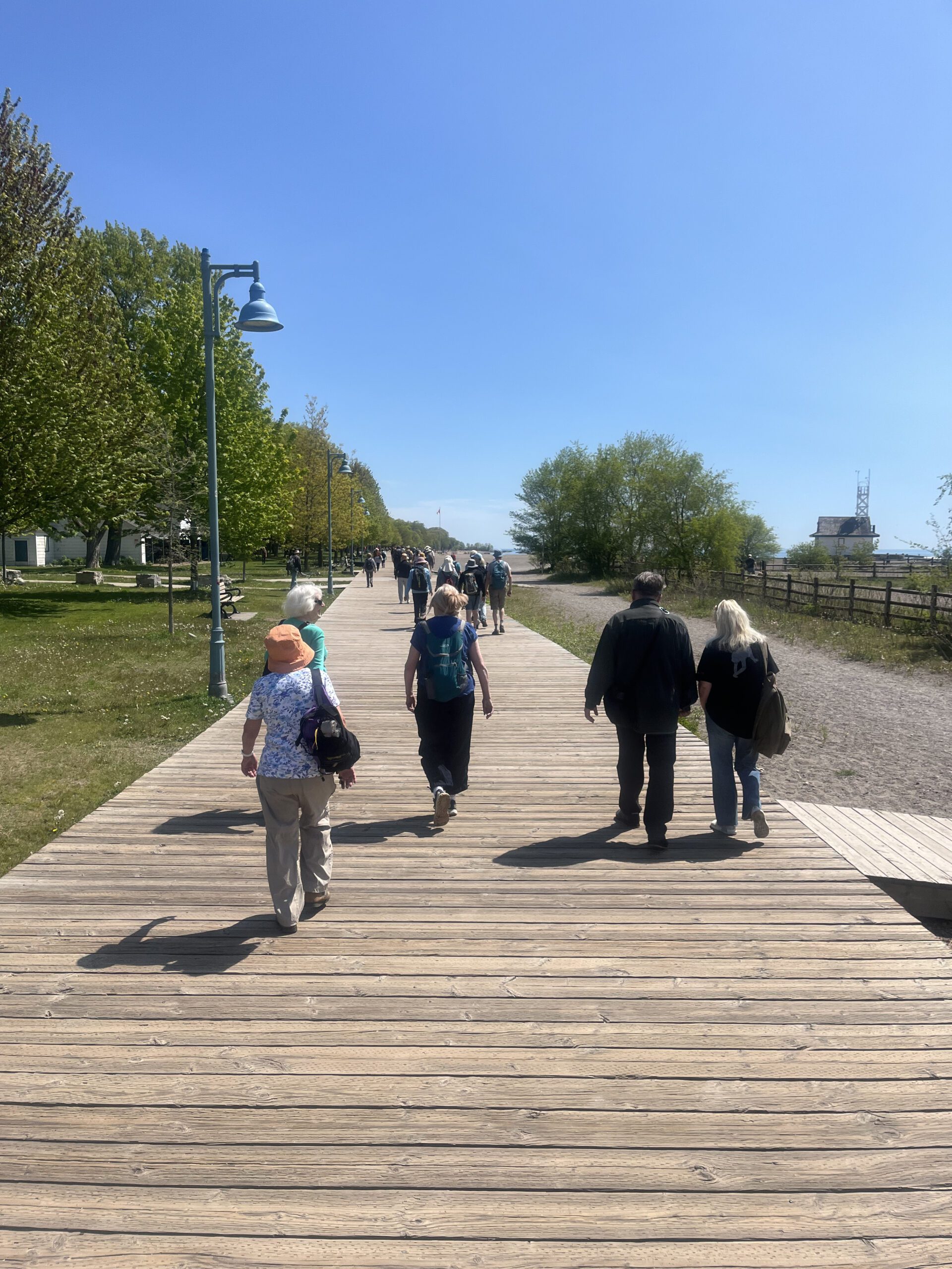
Urban Walk: Toronto Beaches and Glen Stewart Ravine
https://hikes.brucetrail.org/event/urban-walk-toronto-beaches-and-glen-stewart-ravine/Sorry, the registration cut-off time for this hike has been reached.Not a member? Click here to join today!Hosting Club: Toronto
Category: Urban Walk
Location (Google Maps): Toronto Beaches and Glen Stewart Ravine. Meet in front of the Boardwalk Cafe at Woodbine Beach Park. The bus loop for the TTC #92 Woodbine South from Woodbine Station on Line 2 is across the parking lot. The hike will end on Kingston Road where we exit the Glen Stewart Ravine.Hike Leader(s): Tom Swales Click here to contact Hike Leader(s)
Pace: Moderate (3-4 km/hr)
Terrain: Level 1 (Easy – mostly on flat, well maintained trails with hard-packed surface), Level 2 (Intermediate – some hills and uneven surfaces, rocks and roots underfoot), Variable
Distance (km): 8 kmDescription
Join us for this in a series of Tuesday morning walks to be known as “Shurbs”. Short morning urban walks (distance about 8 km) to be finished by lunch time. Have lunch at the end, go about your business for the afternoon, or join us for lunch at a local establishment. This hike will go around Ashbridges Bay, along the Eastern Beaches, and north up the lovely Glen Stewart Ravine Trail to Kingston Road. Expect an uphill climb at the exit of Glen Stewart Ravine. There are a few washrooms available along the Eastern Beaches Boardwalk. Optionally join us for lunch at Fearless Meat on Kingston Road featuring burgers, smoked meat from Lesters in Montreal, and poutine at fair prices. Vegan options also available. Another one of “Tom’s local picks”.Urban Walk: Valley View/Huntington Park
https://hikes.brucetrail.org/event/urban-walk-valley-view-huntington-park-15/Sorry, the registration cut-off time for this hike has been reached.Not a member? Click here to join today!Hosting Club: Toronto
Location (Google Maps): Parking lot is off Sycamore Drive, East of Bayview , across Starbucks plaza
Bus 91 from Finch East station stops at Sycamore station.Hike Leader(s): Mohammad Aghamiri
Pace: Moderate (3-4 km/hr)
Terrain: Hilly, Level 2 (Intermediate – some hills and uneven surfaces, rocks and roots underfoot)
Distance (km): 6-7 kmDescription
We will explore Valleyview and Maple View parks, and walk along German Mill Creak, in return we stop in Huntington park and have snack under beautiful shed.Although this is considered an “Urban Walk”, you can expect some hills up and down and uneven surfaces with tree roots. Please bring hiking poles, water and snacks.
- 12August 12, 2026No events
- 13August 13, 2026
Urban Walk: Valley View/Huntington Park
https://hikes.brucetrail.org/event/urban-walk-valley-view-huntington-park-16/Sorry, the registration cut-off time for this hike has been reached.Not a member? Click here to join today!Hosting Club: Toronto
Location (Google Maps): Parking lot is off Sycamore Drive, East of Bayview , across Starbucks plaza
Bus 91 from Finch East station stops at Sycamore station.Hike Leader(s): Mohammad Aghamiri
Pace: Moderate (3-4 km/hr)
Terrain: Hilly, Level 2 (Intermediate – some hills and uneven surfaces, rocks and roots underfoot)
Distance (km): 6-7 kmDescription
We will explore Valleyview and Maple View parks, and walk along German Mill Creak, in return we stop in Huntington park and have snack under beautiful shed.Although this is considered an “Urban Walk”, you can expect some hills up and down and uneven surfaces with tree roots. Please bring hiking poles, water and snacks.
- 14August 14, 2026No events
- 15August 15, 2026
Bus Hike: Caledon Trailway (Caledon East-Palgrave) - Cancelled
https://hikes.brucetrail.org/event/bus-hike-caledon-trailway-caledon-east-palgrave/Sorry, the registration cut-off time for this hike has been reached.Not a member? Click here to join today!Hosting Club: Toronto, Caledon Hills
Category: Cancelled
Location (Google Maps): Caledon Trailway – From Caledon East to Highway 9 via PalgraveHike Leader(s): Tom Swales & Michael Humpage Click here to contact Hike Leader(s)
Pace: Moderate (3-4 km/hr)
Terrain: Flat, Level 1 (Easy – mostly on flat, well maintained trails with hard-packed surface)
Distance (km): 12-15 kmDescription
** This bus hike has been cancelled due to insufficient registration **Join us on a moderately paced hike on flat terrain on the Caledon Trailway from the village of Caledon East past Albion Hills, through the hamlet of Palgrave to the trail’s end at Highway 9. Suitable for families and beginners or anyone wanting to enjoy a day out in the countryside not far from Toronto on a not too challenging hike. Dropouts at 7 km, 10 km, and 12 km. We’ll have a refreshment stop in the downtown Bolton heritage conservation district where the town of Bolton Mills was formed and there’s a variety of options for hikers to enjoy before our ride back to York Mills. For those who joined us on the Winter Toronto E2E #6 and the “Pizza Hike” in March, this is a chance to hike to rest of the Caledon Trailway to it’s eastern terminus.
- =>>> Please read the TBTC Paid Hikes Refund Policy before registering: https://torontobrucetrailclub.org/hikes/no-show-policy”. There will be no refunds for this hike if the registrant cancels or misses the coach on the date of departure for any reason. Registration fees are not transferrable between different hikes nor can unused fares qualify for a tax receipt.
Toronto Islands downtown
https://hikes.brucetrail.org/event/car-hike-boyd-conservation-park-vaughan-16/Sorry, the registration cut-off time for this hike has been reached.Not a member? Click here to join today!Hosting Club: Toronto
Location (Google Maps): Toronto Islands
Meet at Jack Layton Ferry docks at
8:45 a.m. for9:00 departure to center Island) you can buy your tickets online in advance. https://secure.toronto.ca/FerryTicketOnline/tickets2/index.jspHike Leader(s): Mohammad Aghamiri Click here to contact Hike Leader(s)
Pace: Moderate (3-4 km/hr)
Terrain: Flat, Variable
Distance (km): 12-14 kmDescription
Lets hike Toronto islands and enjoy summer in islands,You have an option of swimming after hikePlease bring lots of water and snacks ,
phone number for the day of hike 289 588 6482
GO Train Hike: Lynde Shores C.A.
https://hikes.brucetrail.org/event/go-train-hike-lynde-shores-c-a/Sorry, the registration cut-off time for this hike has been reached.Not a member? Click here to join today!Hosting Club: Toronto
Category: GO Train Hike
Location (Google Maps): Lynde Shores Conservation Area – New Parking Lot on Halls Road
I will be taking the 9.02 GO Train from Danforth GO Station to Whitby GO Station. Upon arriving at Whitby we will take a short bus ride, and will be walking down Halls Rd. to the park’s western entrance.
If you wish to board the train at a different station you may find us in the upper level of the accessibility coach. If you use the GO Transit $10 Day Pass you will need to pay $3.84 Adult / $2.53 Senior for the DRT Bus from Whitby GO Station.If you pay by Presto the ride is free under the One Fare Program. It may be less to use Presto for the combined trip with TTC to the GO Station in Toronto.
If you wish to drive you may meet the group at the parking lot or park at the GO Station and ride the bus with the group. Note we will finish by walking to the GO Station.Hike Leader(s): Tom Swales, Janet McColeman Click here to contact Hike Leader(s)
Pace: Moderate (3-4 km/hr)
Terrain: Flat, Level 1 (Easy – mostly on flat, well maintained trails with hard-packed surface), Level 2 (Intermediate – some hills and uneven surfaces, rocks and roots underfoot)
Distance (km): 12 kmDescription
We will hike a couple of loops, including the Chickadee Bird Feeder Trail and the Lake Ontario Trail, around the lovely Lynde Shores Conservation Area, 1225 Victoria Street, Whitby. This is a great spot for birds and other wildlife. From the conservation area we will follow the Durham Waterfront Trail route back towards the GO Station. Optional refreshment stop after the hike.Terrain and Speed – Flat, 3.5k, with stops for photos, viewing wildlife, or appreciating the beauty (approximately 4 hours).
Here is a map of the route:
https://onthegomap.com/s/b0kodkn2
Car Hike: Forks of the Credit
https://hikes.brucetrail.org/event/car-hike-forks-of-the-credit-8/Sorry, the registration cut-off time for this hike has been reached.Not a member? Click here to join today!Hosting Club: Toronto
Category: Car Hike
Location (Google Maps):Forks of the Credit Provincial Park, Map 15
Hike Leader(s): Al Brown Click here to contact Hike Leader(s)
Pace: Moderate (3-4 km/hr)
Terrain: Hilly, Level 2 (Intermediate – some hills and uneven surfaces, rocks and roots underfoot)
Distance (km): 12-13 kmDescription
We will complete a loop hike through the Park, crossing the Credit River above the Cataract Falls. Then we will follow the trail down into the valley to a viewpoint of the Falls itself. We will hike along the east bank of the Credit River then turn east to climb the valley and then north back through the main park past glacial features and old homesteads. Natural features include kettle lakes and milkweed fields if still in bloom where we might spot monarch butterflies.Refreshments in Belfountain or Erin after the hike.
The meeting point is the intersection of Mississauga Road and Cataract Road. Parking is located on both sides of the road. Park in marked areas only. To get to this point drive north on Mississauga Road from Brampton to about 3 km past Belfountain.
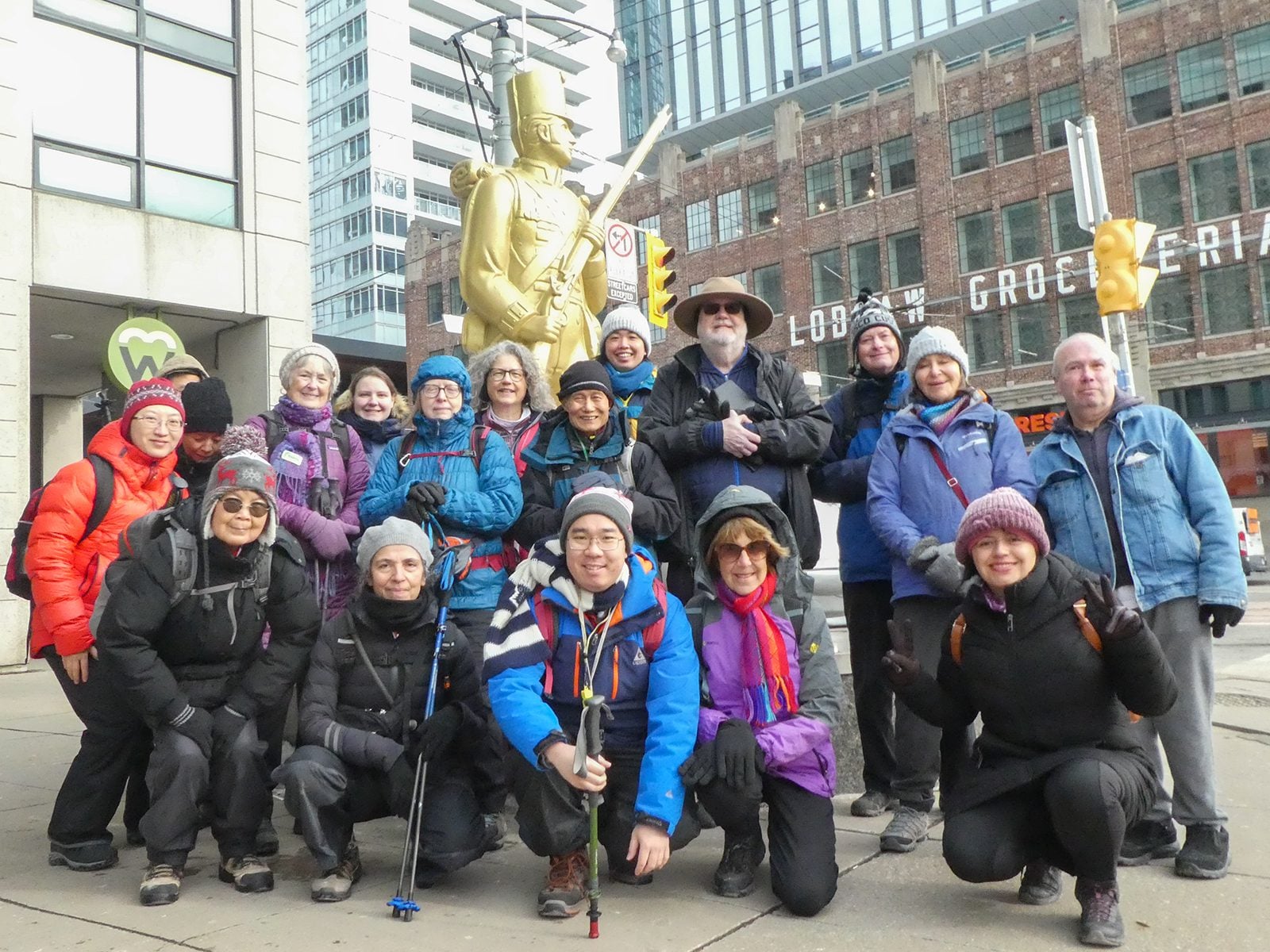
Urban Walk: Waterfront Trail 5/11 – Bathurst
https://hikes.brucetrail.org/event/urban-walk-waterfront-trail-5-11-bathurst-3/Sorry, the registration cut-off time for this hike has been reached.Not a member? Click here to join today!Hosting Club: Toronto
Category: Urban Walk
Location (Google Maps): Downtown Toronto Waterfront TrailHike Leader(s): Brian Rideout Click here to contact Hike Leader(s)
Pace: Moderate (3-4 km/hr)
Terrain: Flat
Distance (km): 9.4 kmDescription
Please join me at Bathurst Station no later than 9:25 am. We will take the streetcar southbound departing 9:40 am, arriving at Fleet St 10:00 am. If you want to meet us at Bathurst and Fleet, be there by 10:00 am. We start hiking at 10:00 am.We will hike to the lake and east to Leslie St. The estimated distance is 9.4 km. Here is an online map of our route Bathurst to Leslie
Bring a snack, at least 2 liters of water, sunscreen and bug spray.