
Join us for a hike! Registration required:
All hikes available to BTC members. Some hikes are open to non-members.
TIP: The calendar view displays up to 7 hikes on a day, but often there are more. Click “More events” to see them all.
Toronto Hike Schedule
Toronto Bruce Trail Club Registration Live Dates
Day Winter Coach Program
Registration begins two weeks in advance of the event departure (at 8:00 PM)
Day Bus Hikes
Registration begins two weeks in advance of the event departure (at 8:00 PM) with some exceptions of special event hikes
Day Coach Hikes
Registration begins 7 weeks in advance of the event departure
Day Car Hikes and Urban Hikes
Registration begins two weeks in advance of the event departure
Overnight and Weekend Trips
Registration begins 12 weeks in advance of the event departure
To view all Bruce Trail Conservancy Hikes click here
- 27July 27, 2025
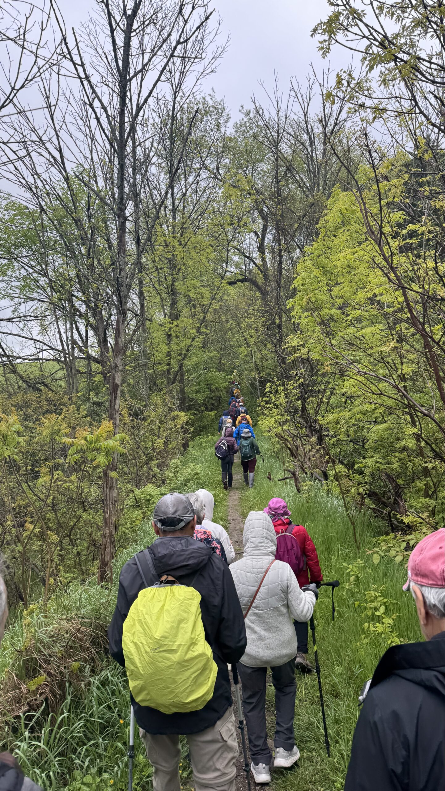
Car Hike: Jefferson Forest and Bond Lake (Richmond Hill)
https://hikes.brucetrail.org/event/car-hike-jefferson-forest-and-bond-lake-richmond-hill-2/Sorry, the registration cut-off time for this hike has been reached.Not a member? Click here to join today!Hosting Club: Toronto
Location (Google Maps):
1245 Bethesda Side Rd, Richmond Hill, ON L4E 1A2 ( Bethesda Trail Head Parking lot)
Hike Leader(s): Amir Alemohammad Click here to contact Hike Leader(s)
Pace: Moderate (3-4 km/hr)
Terrain: Flat, Hilly, Level 2 (Intermediate – some hills and uneven surfaces, rocks and roots underfoot), Variable
Distance: 13-14 kmDescription
Join us for a wonderful hike in Jefferson Forest and have a snack/lunch beside the Bond Lake. We will hike among tall trees and bushes of the Jefferson Forest and across the Bayview-Yonge corridor to reach to the Bond Lake. Boots mandatory, poles recommended, bring at least 2L of water, bug spray, sunscreen, snack/lunch and dress according to the weather conditions. Please avoid parking along the road. Difficulty Level: 2 (Moderate)Please arrive @7:50 AM for start of 8:00AM.
This is a joint hike with the Oak Ridges Trail Association (ORTA).
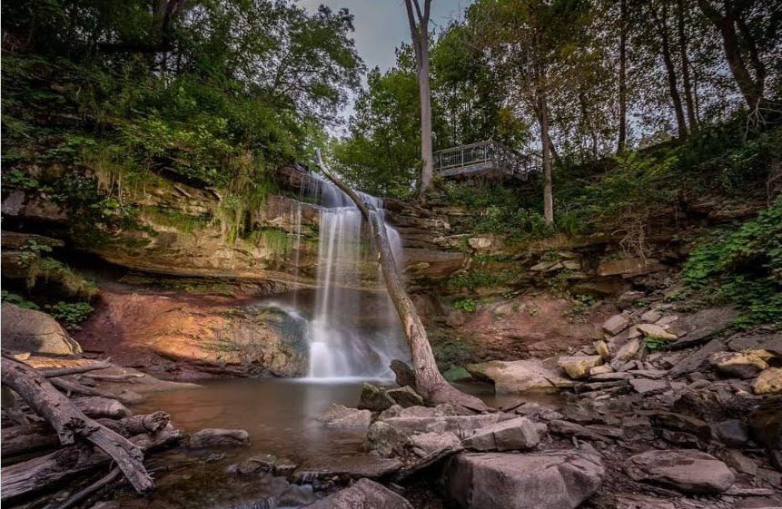
Car Hike: Falls to Falls
https://hikes.brucetrail.org/event/car-hike-falls-to-falls/Sorry, the registration cut-off time for this hike has been reached.Not a member? Click here to join today!Hosting Club: Iroquoia, Toronto
Category: Car Hike
Location (Google Maps): Meet up Location at Smokey Hollow Side Trail Parking lot. GPS Coordinates – N43.330803, W79.886980. at km71.2, Map 9, Edition 31.Hike Leader(s): Ross Estrella Click here to contact Hike Leader(s)
Pace: Brisk (4-5 km/hr), Moderate (3-4 km/hr)
Terrain: Hilly, Level 2 (Intermediate – some hills and uneven surfaces, rocks and roots underfoot), Rocky
Distance: 13 kmDescription
Hiking beauty is it’s simplicity. You set the destination and start the journey. Hiking is one simple way of refueling your body, mind and spirit while savoring the natural beauty of the landscape and highly spirited people around you. In your every steps, you feel the breathe of fresh air and the earth under your feet. Come and join us at a moderate to brisk pace hike from Sydenham Lookout passing Borer’s Falls to Great Smokey Hollow Falls via Grindstone Creek where it’s rhythmic rushing water is a calming sound to our senses.Please bring snack/lunch and sufficient liquid for hydration. At all times have sunscreen, bug repellent and hat for sun ray protection available. Comfortable hiking shoe/boot and poles recommended. Please make sure to have your personal medications (if any), health card, and basketful of enthusiasms. Pleas arrive fifteen minutes early for car shuttling.
- 28July 28, 2025
Toronto End-to-End #2 of 4
https://hikes.brucetrail.org/event/toronto-end-to-end-2-of-4/Sorry, the registration cut-off time for this hike has been reached.Not a member? Click here to join today!Hosting Club: Iroquoia, Toronto
Category: General Hike
Location (Google Maps): Parking lot across from Limehouse Public School, on the south side of 22 Side RoadHike Leader(s): Pati Greenwood, Jeff Dowsett Click here to contact Hike Leader(s)
Pace: Medium – 3 to 4 km/hr
Terrain: Moderate – Some hills and/or some poor footing
Distance: 10.5 kmDescription
This is a summer-time End-to-End hike to complete the Toronto section of the Bruce Trail in 4 hikes. Join for all or as many hikes as desired.This second hike will take us from the Bruce Trail Pear Tree Park to Limehouse. Once again, the terrain is not too hilly, but the footing is tricky with uneven, rocky sections to navigate.
July weather can be hot, muggy and buggy! So, dress for the weather, keeping in mind that insects, including ticks, will be out in full force. Take appropriate precautions to avoid insect bites, including using repellant and clothing that covers the legs and arms. Hiking boots are required and hiking poles are recommended.
Bring plenty of fluids, including electrolytes, and a snack.
As this is a group hike, please consider your fitness level before registering. We will be walking at a pace of 3km – 4km per hour and everyone is expected to keep up with the person in front of them for the duration of the hike.
Plan to arrive at the meeting place by 8:15 a.m. as we will start the car shuffle to the hike starting point at 8:30 a.m. sharp. Further details will be provided to registered hikers a few days prior to the hike.
Sydenham E2E 5/8
https://hikes.brucetrail.org/event/sydenham-e2e-5-8/Sorry, the registration cut-off time for this hike has been reached.Not a member? Click here to join today!Hike open to BTC Members only.
Hosting Club: Toronto
Category: Car Hike
Location (Google Maps): Km 108.0 range rd. Please note. It is not an official Bruce Trail parking, but parking is allowed. Map 33, addition 31.coordinates N 44.599838,W 80.956024Hike Leader(s): Smadar Junkin Click here to contact Hike Leader(s)
Pace: Brisk (4-5 km/hr)
Terrain: Rocky, Variable
Distance: 21.5 kmDescription
Fifth hike in the series. Please see hike #1 for instructions. We will shuttle to km 129.6 and hike back. - 29July 29, 2025
Sydenham E2E, 6/8
https://hikes.brucetrail.org/event/sydenham-e2e-7-8/Sorry, the registration cut-off time for this hike has been reached.Not a member? Click here to join today!Hosting Club: Toronto
Category: Car Hike
Location (Google Maps): Km 148.5 Graham Hill rd. Coordinates N 44.764911,W 80.944925 map 34, edition 31.Hike Leader(s): Smadar Junkin Click here to contact Hike Leader(s)
Pace: Brisk (4-5 km/hr)
Terrain: Rocky, Variable
Distance: 20 Kms.Description
Seventh hike of the series. Please see instructions on hike #1. April 1. We will shuttle to km 129.6 and hike back.Urban Walk: Valley View Park Thornhill
https://hikes.brucetrail.org/event/urban-walk-valley-view-park-thornhill-80/Sorry, the registration cut-off time for this hike has been reached.Not a member? Click here to join today!Hosting Club: Toronto
Category: Urban Walk
Location (Google Maps): Parking lot is off Sycamore Drive East of Bayview , across Starbucks plaza
Bus 91 from Finch east station stops at Sycamore station.Hike Leader(s): Mohammad Aghamiri Click here to contact Hike Leader(s)
Pace: Moderate (3-4 km/hr)
Terrain: Hilly, Level 2 (Intermediate – some hills and uneven surfaces, rocks and roots underfoot), Variable
Distance: 6-7 kmDescription
We will explore Valleyview and Maple View parks, and walk along German Mill Creak, in return we stop in Huntington park and have snack under beautiful shed ,Even it is considered Urban walk, it is urban hike as we have some up and down hills and tree roots, please bring your hiking poles, water and snacks,
phone number for the day of hike 289 588 6482
- 30July 30, 2025
Sydenham E2E 7/8
https://hikes.brucetrail.org/event/sydenham-e2e-8-8/Sorry, the registration cut-off time for this hike has been reached.Not a member? Click here to join today!Hike open to BTC Members only.
Hosting Club: Toronto
Category: Car Hike
Location (Google Maps): Blue water Park, Wiarton. Parking opposite the arena. Coordinates N 44.742514,W 81.135140 map 35. Edition 31.Hike Leader(s): Smadar Junkin Click here to contact Hike Leader(s)
Pace: Brisk (4-5 km/hr)
Terrain: Rocky, Variable
Distance: 22.5 kmDescription
Please see instructions on day 1. April 1. We will shuttle to km 148.5 and walk back. - 31July 31, 2025
Sydenham E2E 8/8
https://hikes.brucetrail.org/event/sydenham-e2e-3-8/Sorry, the registration cut-off time for this hike has been reached.Not a member? Click here to join today!Hike open to BTC Members only.
Hosting Club: Toronto
Category: Car Hike
Location (Google Maps): Km 62.4, Irish Block rd. coordinates N 44.592032,W 80.793507 map 31.Hike Leader(s): Smadar Junkin Click here to contact Hike Leader(s)
Pace: Brisk (4-5 km/hr)
Terrain: Challenging, Variable
Distance: 21 kmDescription
Final day, badge and treats day! Please see instructions on hike 1, April 1. We will shuttle to km 41.7 and hike back.Urban Walk: Valley View Park Thornhill
https://hikes.brucetrail.org/event/urban-walk-valley-view-park-thornhill-89/Sorry, the registration cut-off time for this hike has been reached.Not a member? Click here to join today!Hosting Club: Toronto
Location (Google Maps): Parking lot is off Sycamore Drive East of Bayview , across Starbucks plaza
Bus 91 from Finch east station stops at Sycamore station.Hike Leader(s): Mohammad Aghamiri Click here to contact Hike Leader(s)
Pace: Moderate (3-4 km/hr)
Terrain: Hilly, Level 2 (Intermediate – some hills and uneven surfaces, rocks and roots underfoot), Variable
Distance: 6-7 kmDescription
We will explore Valleyview and Maple View parks, and walk along German Mill Creak, in return we stop in Huntington park and have snack under beautiful shed ,Even it is considered Urban walk, it is urban hike as we have some up and down hills and tree roots, please bring your hiking poles, water and snacks,
phone number for the day of hike 289 588 6482
Car Hike: Toronto Section E2E (3 of 4 )
https://hikes.brucetrail.org/event/car-hike-toronto-section-e2e-3-of-4/Sorry, the registration cut-off time for this hike has been reached.Not a member? Click here to join today!Hosting Club: Toronto
Category: Car Hike
Location (Google Maps): Walking Fern ST (38.8k marker, Edition 31) on 10th LineHike Leader(s): David Rowney Click here to contact Hike Leader(s)
Pace: Moderate (3-4 km/hr)
Terrain: Level 2 (Intermediate – some hills and uneven surfaces, rocks and roots underfoot), Variable
Distance: 12.2 kDescription
This is a summer-time End-to-End hike to complete the Toronto section of the Bruce Trail in 4 hikes. Join for as many hikes as desired.This third hike will take us from Sixth Line, north of Limehouse to the entrance of the Walking Fern ST (on the 10th Line). The terrain will vary, there will be some hilly sections and sections with uneven, rocky terrain, making footing tricky to navigate.
July weather can be hot, muggy and buggy! So, dress for the weather, keeping in mind that insects, including ticks, will be out in full force. Take appropriate precautions to avoid insect bites, including using repellant and clothing that covers the legs and arms. Hiking shoes/boots are required and hiking poles are recommended.
Bring plenty of fluids, including electrolytes, and a snack/lunch.
As this is a group hike, please consider your fitness level before registering. We will be walking at a pace of 3km – 4km per hour and everyone is expected to keep up with the person in front of them for the duration of the hike.
Plan to arrive at the meeting place by 9:15 a.m. as we will start the car shuffle to the hike starting point at 9:30 a.m. sharp. Further details will be provided to registered hikers a few days prior to the hike.
- 01August 1, 2025No events
- 02August 2, 2025
School Bus Hike: Northern Rouge National Urban Park - Central Trail (Markham)
https://hikes.brucetrail.org/event/school-bus-hike-northern-rouge-national-urban-park-central-trail-markham/Sorry, the registration cut-off time for this hike has been reached.Not a member? Click here to join today!Trip Information
Departure Time: 08:30
Return to City Time: 17:00
Departure Point: York Mills Bus PickupOptional Items
Unionville GO Station Pick-up ($0.01)Hosting Club: Toronto
Category: Bus Hike
Location (Google Maps):Northern Rouge National Urban Park
Hike Leader(s): Celia Ho, Tom Swales Click here to contact Hike Leader(s)
Pace: Moderate (3-4 km/hr)
Terrain: Flat
Distance: 9.1 or 13.7 kmDescription
We will explore the northern section of the Rouge National Urban Park, in the section of the park in Markham, starting at the Black Walnut Day Use Area. We will explore the Central Trail.The meeting point will be the York Mills Bus Pickup location. There is an additional pickup location at Unionville GO Station – select that option when registering if you would like to be picked up there.
The meeting time is 8:30 AM at the York Mills pickup location and 8:45 AM at the Unionville GO Station pickup location.
This will be a relatively easy and leisurely hike. The terrain is relatively flat. The surface condition consists of compacted granular trails. The pace will be a moderate pace of 3-4 km/hr.
Depending on time and weather conditions we will cover 9.1 km (drop-out point) or 13.7 km.
After the hike there will be a stop at the Sunflower Fields of Markham. You need to bring $7 cash for the ticket and the hike leaders will purchase the tickets for the group at the gate. This is a discounted price.
The trip ends with a refreshment stop at Historic Main Street Unionville.
Car Hike: East Point Park Bird Sanctuary, Scarborough, ON
https://hikes.brucetrail.org/event/car-hike-east-point-park-bird-sanctuary-scarborough-on-4/Sorry, the registration cut-off time for this hike has been reached.Not a member? Click here to join today!Hosting Club: Toronto
Location (Google Maps): East Point Park Bird Sanctuary, Scarborough, Ontario, free parking lot
Hike Leader(s): Mohammad Aghamiri Click here to contact Hike Leader(s)
Pace: Moderate (3-4 km/hr)
Terrain: Flat, Level 2 (Intermediate – some hills and uneven surfaces, rocks and roots underfoot), Variable
Distance: 14-15 kmDescription
We will hike along lake Ontario to Scarborough Bluffs.Please bring hiking poles, proper closing and shoes and lots of water and smile,
For the day of hike phone number 289 588 6482