
Join us for a hike! Registration required:
All hikes available to BTC members. Some hikes are open to non-members.
TIP: The calendar view displays up to 7 hikes on a day, but often there are more. Click “More events” to see them all.
Toronto Hike Schedule
Toronto Bruce Trail Club Registration Live Dates
Day Winter Coach Program
Registration begins two weeks in advance of the event departure (at 8:00 PM)
Day Bus Hikes
Registration begins two weeks in advance of the event departure (at 8:00 PM) with some exceptions of special event hikes
Day Coach Hikes
Registration begins 7 weeks in advance of the event departure
Day Car Hikes and Urban Hikes
Registration begins two weeks in advance of the event departure
Overnight and Weekend Trips
Registration begins 12 weeks in advance of the event departure
To view all Bruce Trail Conservancy Hikes click here
- 16August 16, 2026
Car Hike: Jefferson Forest/Bond Lake
https://hikes.brucetrail.org/event/car-hike-jefferson-forest-bond-lake-9/Sorry, the registration cut-off time for this hike has been reached.Not a member? Click here to join today!Hosting Club: Toronto
Category: Car Hike
Location (Google Maps):1245 Bethesda Side Rd, Richmond Hill, ON L4E 1A2 ( Bethesda Trail Head Parking lot)
Hike Leader(s): Amir Alemohammad Click here to contact Hike Leader(s)
Pace: Moderate (3-4 km/hr)
Terrain: Flat, Hilly, Level 2 (Intermediate – some hills and uneven surfaces, rocks and roots underfoot), Variable
Distance (km): 14-16KmDescription
Let’s roll the hills of the Jefferson Forest and around the Bond Lake. Every week we hike in Jefferson Forest, located in the heart of Richmond Hill, it boasts numerous hiking trails. This 4 hour hike can range from 14 to 15 kilometres, depending on the weather conditions. Remember to bring water, snacks, hiking boots (mandatory), poles, and your camera. Not recommended for beginners. Park in the free Bethesda parking lot and avoid parking along the road. Dress appropriately for the weather. Difficulty Level: 2 (Moderate).Please arrive @7:45AM for start of 8:00AM.
This is a joint hike with the Oak Ridges Trail Association (ORTA).
what3words:
https://w3w.co/twisting.mailer.awakes
Urban Walk: Waterfront Trail 5/11 – Bathurst
https://hikes.brucetrail.org/event/urban-walk-waterfront-trail-5-11-bathurst-4/Sorry, the registration cut-off time for this hike has been reached.Not a member? Click here to join today!Hosting Club: Toronto
Category: Urban Walk
Location (Google Maps): Downtown Toronto Waterfront TrailHike Leader(s): Brian Rideout Click here to contact Hike Leader(s)
Pace: Moderate (3-4 km/hr)
Terrain: Flat
Distance (km): 9.4 kmDescription
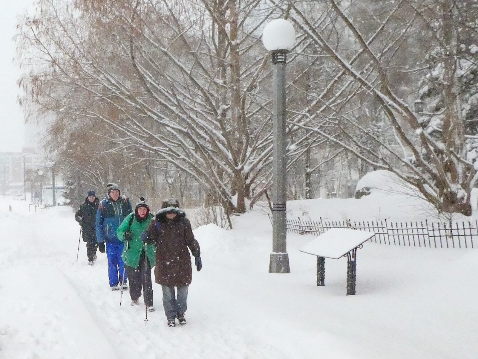
Please join me at Bathurst Station no later than 9:00 am. We will take the streetcar southbound departing 9:30 am, arriving at Fleet St 9:49 am. If you want to meet us at Bathurst and Fleet, be there by 9:49 am. We start hiking at 10:00 am.We will hike to the lake and east to Leslie St. The estimated distance is 9.4 km. Here is an online map of our route Bathurst to Leslie
Bring a snack, at least 2 liters of water, sunscreen and bug spray.
- 17August 17, 2026
Urban Walk: Valley View/Huntington Park
https://hikes.brucetrail.org/event/urban-walk-valley-view-huntington-park-17/Sorry, the registration cut-off time for this hike has been reached.Not a member? Click here to join today!Hosting Club: Toronto
Location (Google Maps): Parking lot is off Sycamore Drive, East of Bayview , across Starbucks plaza
Bus 91 from Finch East station stops at Sycamore station.Hike Leader(s): Mohammad Aghamiri
Pace: Moderate (3-4 km/hr)
Terrain: Hilly, Level 2 (Intermediate – some hills and uneven surfaces, rocks and roots underfoot)
Distance (km): 6-7 kmDescription
We will explore Valleyview and Maple View parks, and walk along German Mill Creak, in return we stop in Huntington park and have snack under beautiful shed.Although this is considered an “Urban Walk”, you can expect some hills up and down and uneven surfaces with tree roots. Please bring hiking poles, water and snacks.
- 18August 18, 2026
Urban Walk: Cedarvale Park to Rosedale
https://hikes.brucetrail.org/event/urban-walk-cedarvale-park-to-rosedale/Sorry, the registration cut-off time for this hike has been reached.Not a member? Click here to join today!Hosting Club: Toronto
Category: Urban Walk
Location (Google Maps): Cedarvale Station, Everden Road Exit. Street level.Hike Leader(s): Ted Moriarty Click here to contact Hike Leader(s)
Pace: Moderate (3-4 km/hr)
Terrain: Level 2 (Intermediate – some hills and uneven surfaces, rocks and roots underfoot)
Distance (km): 6 kmDescription
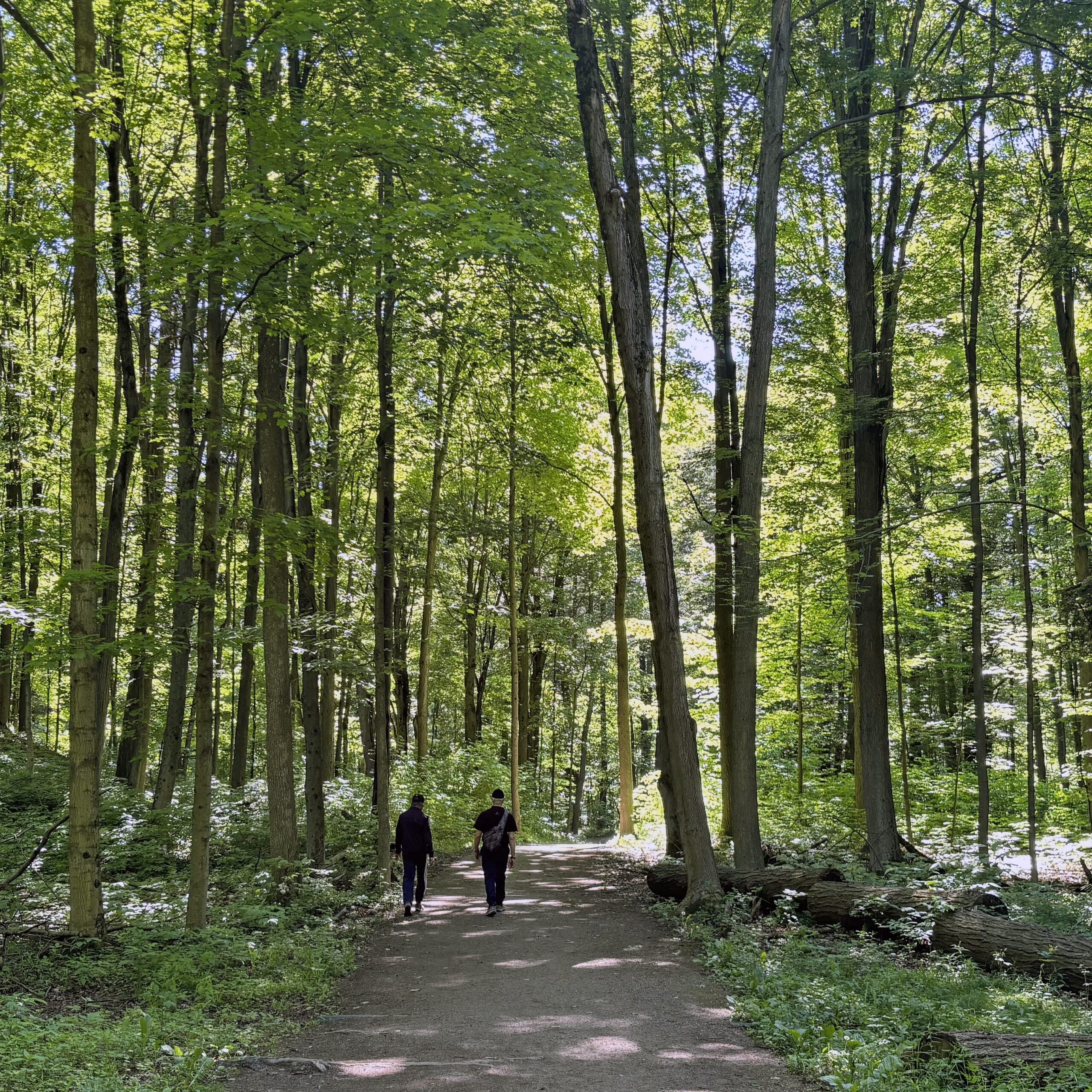
Please join me for a morning hike through Cedarvale Park, the Rathnelly neighbourhood and the parks of west Rosedale. We will wind our way through Cedarvale Park, Sir Winston Churchill Park and Ramsden Park. Along the way we will explore Davenport Road, Dupont Street and surrounding areas. The hike will end on Yonge Street at Rosedale Station.Route map:
https://onthegomap.com/?route=019efe97-04ff-7350-b2fb-6b228a90d302&context=share
Travel to the trailhead:
Meet Ted at Cedarvale Station (Eglinton Crosstown). Everden Road exit turnstiles at 9:30 AM.Washrooms:
There are washrooms located at Cedarvale Subway Station. During the 6 km hike we will stop at two public washrooms located at kilometres 3 and 5.Après-hike:
There will be an optional après-hike stop at The Pilot (22 Cumberland Street). Alternatively, hikers can explore the Yorkville neighbourhood and visit one of the many restaurants or cafes in the area.
- 19August 19, 2026No events
- 20August 20, 2026
Urban Walk: Valley View/Huntington Park
https://hikes.brucetrail.org/event/urban-walk-valley-view-huntington-park-18/Sorry, the registration cut-off time for this hike has been reached.Not a member? Click here to join today!Hosting Club: Toronto
Location (Google Maps): Parking lot is off Sycamore Drive, East of Bayview , across Starbucks plaza
Bus 91 from Finch East station stops at Sycamore station.Hike Leader(s): Mohammad Aghamiri
Pace: Moderate (3-4 km/hr)
Terrain: Hilly, Level 2 (Intermediate – some hills and uneven surfaces, rocks and roots underfoot)
Distance (km): 6-7 kmDescription
We will explore Valleyview and Maple View parks, and walk along German Mill Creak, in return we stop in Huntington park and have snack under beautiful shed.Although this is considered an “Urban Walk”, you can expect some hills up and down and uneven surfaces with tree roots. Please bring hiking poles, water and snacks.
- 21August 21, 2026
Urban Walk: CNE Opening Day
https://hikes.brucetrail.org/event/urban-walk-cne-opening-day/Sorry, the registration cut-off time for this hike has been reached.Not a member? Click here to join today!Hosting Club: Toronto
Category: Urban Walk
Location (Google Maps): Toronto Central Waterfront. Meet us by the Jack Layton statue (of him on a bicycle) outside the Jack Layton Ferry Terminal,Hike Leader(s): Tom Swales Click here to contact Hike Leader(s)
Pace: Moderate (3-4 km/hr)
Terrain: Flat, Level 1 (Easy – mostly on flat, well maintained trails with hard-packed surface)
Distance (km): 3.5 kmDescription
Join me to short hike along the Harbourfront to the Princes” gates of the CNE opening day. The opening day deal of $15.00 (50% off full regular admission) will be available at the gates. Feel free to join just for the walk or to explore the fare with the group or do your own thing.Urban Walk: Highland Creek Loop Dog Friendly
https://hikes.brucetrail.org/event/urban-walk-highland-creek-loop-dog-friendly/Sorry, the registration cut-off time for this hike has been reached.Not a member? Click here to join today!Hosting Club: Toronto
Category: Urban Walk
Location (Google Maps):Morningside Park
Hike Leader(s): Lindita Kalo Click here to contact Hike Leader(s)
Pace: Moderate (3-4 km/hr)
Terrain: Flat, Level 1 (Easy – mostly on flat, well maintained trails with hard-packed surface)
Distance (km): 10kmDescription
Dog friendly hike.This lovely paved section includes the Highland Creek trail through forest, This will be an out and back hike.!I have an Aussie. - 22August 22, 2026
Bus Hike: Rama Pow Wow & Ganaraska Trail Hike
https://hikes.brucetrail.org/event/bus-hike-rama-pow-wow-hike/Sorry, the registration cut-off time for this hike has been reached.Not a member? Click here to join today!Trip Information
Departure Time: 08:00
Return to City Time: 18:30
Departure Point: York Mills Bus PickupOptional Items
Hiking ($.01)Hosting Club: Toronto
Category: Bus Hike
Location (Google Maps): Orillia, ONHike Leader(s): Nijole Mockevicius, Lisa Lifshitz Click here to contact Hike Leader(s)
Pace: Leisurely (2-3 km/hr), Moderate (3-4 km/hr)
Terrain: Level 1 (Easy – mostly on flat, well maintained trails with hard-packed surface), VariableDescription
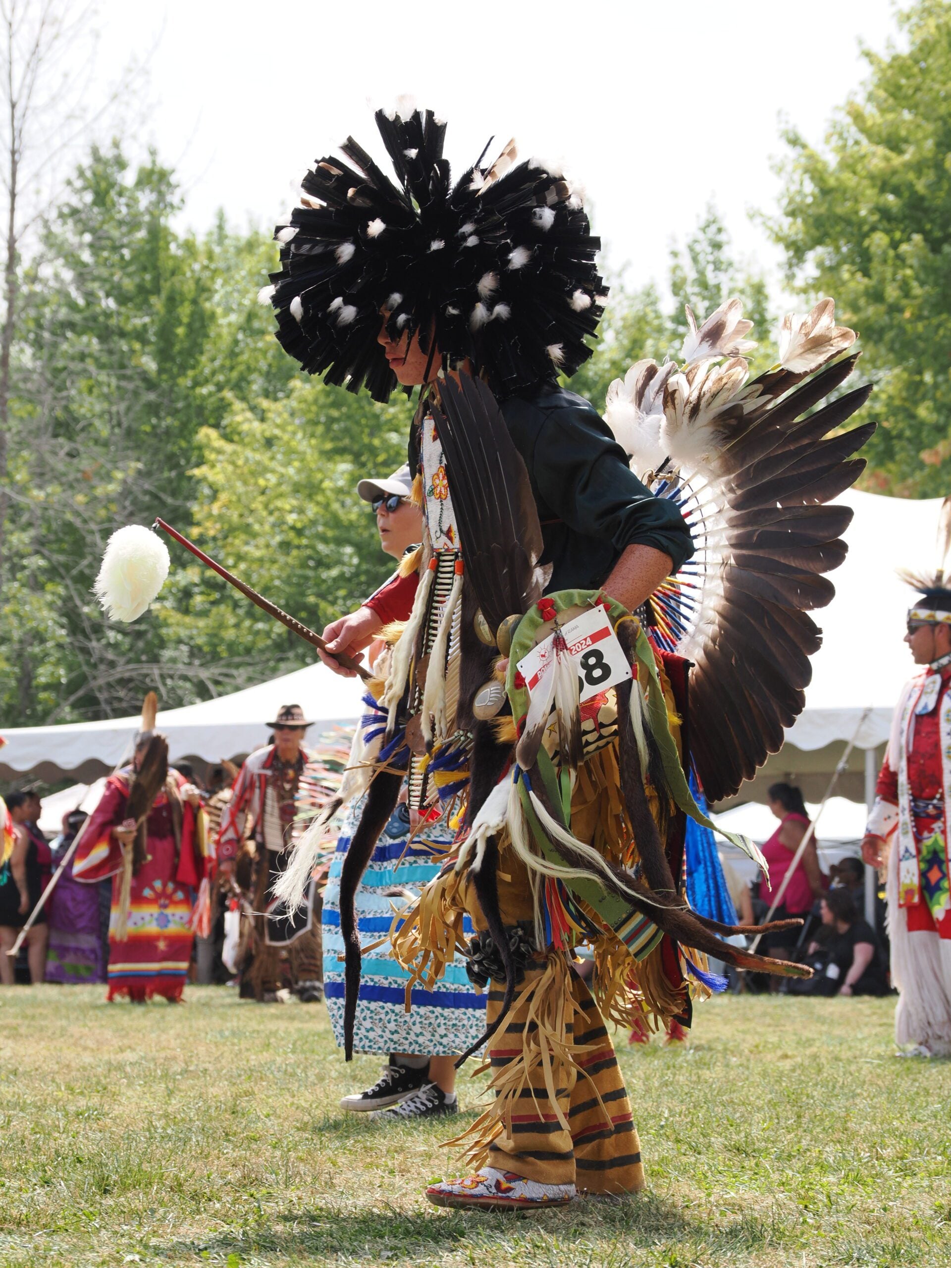
The Rama Pow Wow is one of the biggest and best in Ontario. We have planned this hike to attend the Grand Entry at 1 pm when all the contestants will be dressed and dancing in their finest. Our morning hike takes place in Scout Valley along the Ganaraska Trail. We will provide a shorter hike of 3 km for naturalists and photographers to observe the flora and fauna in its woodlands of pine and hardwood with scattered wetlands. There is an option as well for a longer hike of 5.5 km. After a short noon-hour bus ride to the nearby Rama reserve, we will have a couple of hours to watch the festivities and shop in the market stalls. We will then return to Orillia to begin a short 3 km hike along the Ganaraska Trail through the Gordon Lightfoot sculpture park, with a stop for ice cream before we head back to Toronto.The bus departs from 10 York Mills Rd. at 8:00 am and Major Mackenzie Dr. and HWY 400 Park and Ride at 8:20 am. If you wish to be picked up at the Major Mackenzie Dr. and HWY 400 Park and Ride, please type ‘yes’ in the additional information field. Please arrive 15 minutes before departure. The bus waits for no one.
Admission to the pow wow is $10 per person, but it is free for those who are 60 of older and for those who are veterans. Payment will be collected on the bus (exact change please).
=>>> Please read the TBTC Paid Hikes Refund Policy before registering: https://torontobrucetrailclub.org/hikes/no-show-policy”. There will be no refunds for this hike if the registrant cancels or misses the coach on the date of departure for any reason. Registration fees are not transferrable between different hikes nor can unused fares qualify for a tax receipt.
Oak Ridges Corridor, Bethesda Trail
https://hikes.brucetrail.org/event/car-hike-rouge-national-park-scarborough-on-4/Sorry, the registration cut-off time for this hike has been reached.Not a member? Click here to join today!Hosting Club: Toronto
Location (Google Maps): Oak Ridges Corridor, Bethesda Trail Head Parking Lot, Bethesda Side Road, Richmond Hill, Ontario
Hike Leader(s): MOHAMMAD AGHAMIRI Click here to contact Hike Leader(s)
Pace: Moderate (3-4 km/hr)
Terrain: Hilly, Level 2 (Intermediate – some hills and uneven surfaces, rocks and roots underfoot)
Distance (km): 12-14 kmDescription
Join us to explore the trails of York Regional Forest and the Oak Ridges Corridor at Jefferson Forest and Bond lake,From parking lot we hike thought Jefferson forest and continue to Bond Lake and have snack beside the lake and return to parking around 1:pm
Please bring lots of water and snacks ,hiking poles are recommended,it is Mosquto and Tick season ,be prepared .
phone number for the day of hike 289 588 6482