
Join us for a hike! Registration required:
All hikes available to BTC members. Some hikes are open to non-members.
TIP: The calendar view displays up to 7 hikes on a day, but often there are more. Click “More events” to see them all.
Toronto Hike Schedule
Toronto Bruce Trail Club Registration Live Dates
Day Winter Coach Program
Registration begins two weeks in advance of the event departure (at 8:00 PM)
Day Bus Hikes
Registration begins two weeks in advance of the event departure (at 8:00 PM) with some exceptions of special event hikes
Day Coach Hikes
Registration begins 7 weeks in advance of the event departure
Day Car Hikes and Urban Hikes
Registration begins two weeks in advance of the event departure
Overnight and Weekend Trips
Registration begins 12 weeks in advance of the event departure
To view all Bruce Trail Conservancy Hikes click here
- 02August 2, 2026
Car Hike: Jefferson Forest/Bond Lake
https://hikes.brucetrail.org/event/car-hike-jefferson-forest-bond-lake-8/Sorry, the registration cut-off time for this hike has been reached.Not a member? Click here to join today!Hosting Club: Toronto
Category: Car Hike
Location (Google Maps):1245 Bethesda Side Rd, Richmond Hill, ON L4E 1A2 ( Bethesda Trail Head Parking lot)
Hike Leader(s): Amir Alemohammad Click here to contact Hike Leader(s)
Pace: Moderate (3-4 km/hr)
Terrain: Flat, Hilly, Level 2 (Intermediate – some hills and uneven surfaces, rocks and roots underfoot), Variable
Distance (km): 14-16KmDescription
Let’s roll the hills of the Jefferson Forest and around the Bond Lake. Every week we hike in Jefferson Forest, located in the heart of Richmond Hill, it boasts numerous hiking trails. This 4 hour hike can range from 14 to 15 kilometres, depending on the weather conditions. Remember to bring water, snacks, hiking boots (mandatory), poles, and your camera. Not recommended for beginners. Park in the free Bethesda parking lot and avoid parking along the road. Dress appropriately for the weather. Difficulty Level: 2 (Moderate).Please arrive @7:45AM for start of 8:00AM.
This is a joint hike with the Oak Ridges Trail Association (ORTA).
what3words:
https://w3w.co/twisting.mailer.awakes
Lion's Head, 2 of 3
https://hikes.brucetrail.org/event/lions-head-2-of-3/Sorry, the registration cut-off time for this hike has been reached.Not a member? Click here to join today!Hosting Club: Toronto, Peninsula
Category: Car Hike
Location (Google Maps): Cape Chin/Dyers Bay, Maps 39 and 40Hike Leader(s): Alex Brown Click here to contact Hike Leader(s)
Pace: Moderate (3-4 km/hr)
Terrain: Level 2 (Intermediate – some hills and uneven surfaces, rocks and roots underfoot), Rocky, Variable
Distance (km): 12.4 kmDescription
This is the second hike of the Lion’s Head series. The hike will be from km 98.4 where the trail crosses Cape Chin South Road and finish at km 110.8. Car pooling and meeting arrangements will be confirmed the day before.The hike will mostly follow the forested escarpment edge, occasionally turning inland. Trail conditions are variable and rocky.
After the hike we will meet for refreshments and to plan out the activity for day 3.
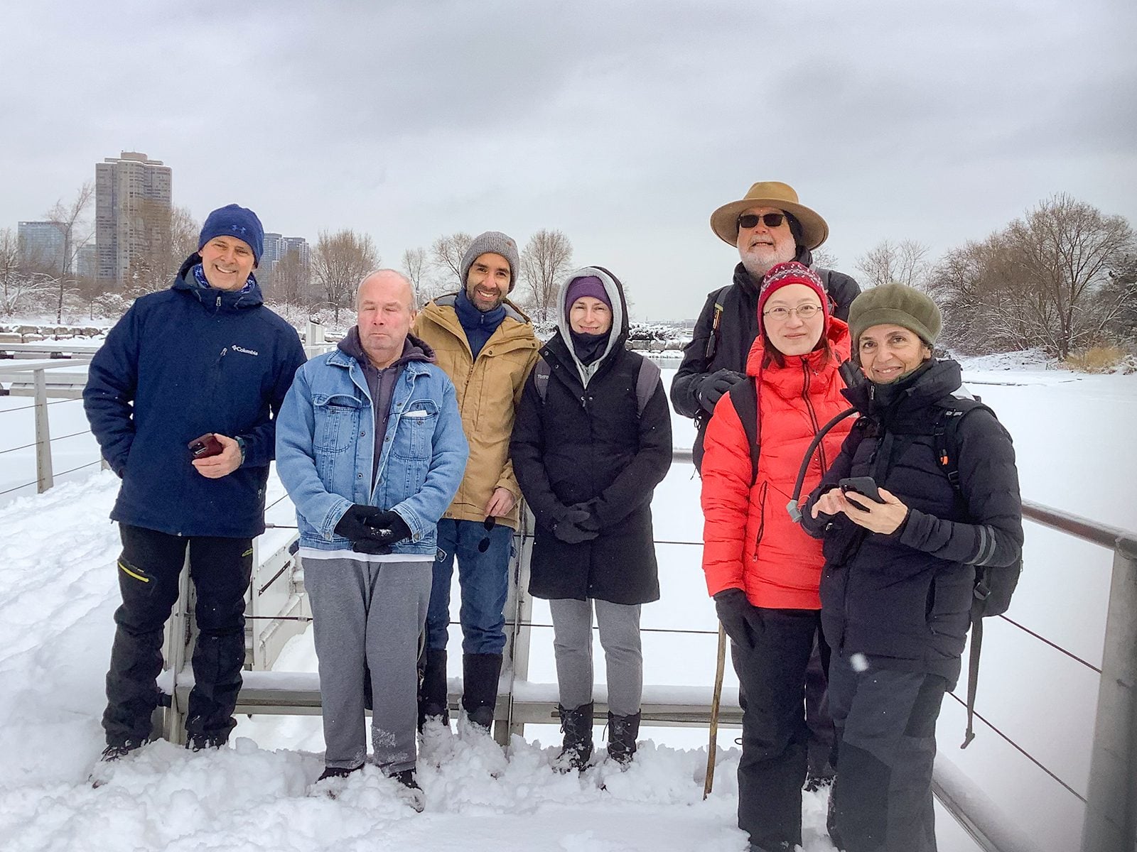
Urban Walk: Waterfront Trail 4/11 – Parklawn
https://hikes.brucetrail.org/event/urban-walk-waterfront-trail-4-11-parklawn-4/Sorry, the registration cut-off time for this hike has been reached.Not a member? Click here to join today!Hosting Club: Toronto
Category: Urban Walk
Location (Google Maps): Toronto Waterfront Trail WestHike Leader(s): Brian Rideout Click here to contact Hike Leader(s)
Pace: Moderate (3-4 km/hr)
Terrain: Flat
Distance (km): 9.1 kmDescription
Please join me at Old Mill Station no later than 9:12 am. We will take the 66 bus departing 9:27 am, arriving 9:40 am. If you want to meet us at Parklawn and Lakeshore, please be there by 9:40 am. We start hiking at 9:50 am.We will hike east along the lake to Spadina. The estimated distance is 9.1 km. Here is an online map of our route Parklawn to Spadina
Bring a snack, at least 2 liters of water, sunscreen and bug spray.