
The BTC office will be closed on Mon. Oct. 12 for the holiday. Thank you for your understanding.
Hike Schedule
Join us for a hike! Registration required.
All hikes available to BTC members. Some hikes are open to non-members.
See Refund Policy for Paid Hikes >
TIP: The calendar view displays up to 7 hikes on a day, but often there are more. Click “View more events” to see them all.
Niagara
Iroquoia
Toronto
Caledon Hills
Dufferin Hi-Land
Blue Mountains
Beaver Valley
Sydenham
Peninsula
All Clubs
Show Filters
Categories
Reset Filters
- 23August 23, 2026
Car Hike: Jefferson Forest/Bond Lake
https://hikes.brucetrail.org/event/car-hike-jefferson-forest-bond-lake-10/Sorry, the registration cut-off time for this hike has been reached.Not a member? Click here to join today!Hosting Club: Toronto
Category: Car Hike
Location (Google Maps):1245 Bethesda Side Rd, Richmond Hill, ON L4E 1A2 ( Bethesda Trail Head Parking lot)
Hike Leader(s): Amir Alemohammad Click here to contact Hike Leader(s)
Pace: Moderate (3-4 km/hr)
Terrain: Flat, Hilly, Level 2 (Intermediate – some hills and uneven surfaces, rocks and roots underfoot), Variable
Distance (km): 14-16KmDescription
Let’s roll the hills of the Jefferson Forest and around the Bond Lake. Every week we hike in Jefferson Forest, located in the heart of Richmond Hill, it boasts numerous hiking trails. This 4 hour hike can range from 14 to 15 kilometres, depending on the weather conditions. Remember to bring water, snacks, hiking boots (mandatory), poles, and your camera. Not recommended for beginners. Park in the free Bethesda parking lot and avoid parking along the road. Dress appropriately for the weather. Difficulty Level: 2 (Moderate).Please arrive @7:45AM for start of 8:00AM.
This is a joint hike with the Oak Ridges Trail Association (ORTA).
what3words:
https://w3w.co/twisting.mailer.awakes
Sunny Sundays - Blantyre to Griersville
https://hikes.brucetrail.org/event/sunny-sundays-blantyre-to-griersville/Sorry, the registration cut-off time for this hike has been reached.Not a member? Click here to join today!Hike open to BTC Members only.
Hosting Club: Beaver Valley
Location (Google Maps): Meet in the Blantyre parking lot, km 117.3, Map 28, 44.500537,-80.632902
Hike Leader(s): Mike Arkless Click here to contact the hike leader.
Pace: Medium
Terrain: Moderate, Some rocky footing
Length of Hike: 14.4 kmDescription
This is a lovely out and back hike with fields, hardwood bush, creeks and views of some deep crevices along the way. Please arrive at 8:15 a.m. for an 8:30 a.m. start. As usual, bring sufficient water and snacks, we’ll take a break mid hike. Dress for the weather, there are still mosquitoes out there so bring insect repellent, or other covering. So we know whether or not to expect you, if you need to cancel please do so on the online calendar or by contacting the hike leader through this hike’s “click here to contact the hike leader” option in the hike schedule. Looking forward to seeing you. Mike.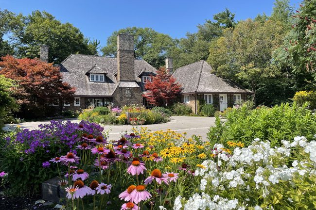
Urban Walk: Riverwood Conservancy Loop
https://hikes.brucetrail.org/event/urban-walk-riverwood-conservancy-loop/Sorry, the registration cut-off time for this hike has been reached.Not a member? Click here to join today!Hosting Club: Toronto
Category: Urban Walk
Location (Google Maps): Toronto transit users meet me outside Islington Subway Station at 8:45, take the tunnel under Islington Ave. to the East side. We will be catching MiWay Bus#26 at 8:59 for a 1 hr journey to our destination, disembarking Burnhamthorpe Road at the Credit Woodlands. Coming directly to the hike, from Burnhamthorpe Road turn onto Riverwood Park Lane and park in the first parking lot on your left. Walk through MacEwan Terrace Garden, turn right past the barn to the Visual Arts Mississauga Building. Wait outside for the Transit group to arrive. Please arrive by 10:00 am. Public washrooms located inside.Hike Leader(s): Andrew Proczek Click here to contact Hike Leader(s)
Pace: Moderate (3-4 km/hr)
Terrain: Level 1 (Easy – mostly on flat, well maintained trails with hard-packed surface), Level 2 (Intermediate – some hills and uneven surfaces, rocks and roots underfoot), Variable
Distance (km): 10-11 kmDescription
Join me for a history loop hike through Riverwood Conservancy and surrounding trails. Before lunch we will loop on the upper Riverwood Trails and after lunch we will tackle the lower trails including the Culham trail along the Credit River.This hike has most of my usual elements: multi surfaces, dirt and packed gravel; some challenging bits; hills, forests and streams; history (3 of Canada’s most impressive Prime Ministers visited or vacationed at Riverwood); and spectacular lookouts. Hiking shoes, long pants and hiking poles are recommended. You can shorten the hike by dropping out at different stages during the hike.
We will take our lunch in the back of Historic Chappell House built in 1919.
The same set public washrooms we will access at the start, just before lunch and at finish of the hike.
Hike Route: https://onthegomap.com/s/ehgoprv9
Exploring Sydenham Hike #47 Above Colpoy's Bay Loops
https://hikes.brucetrail.org/event/exploring-sydenham-hike-47-above-colpoys-bay-loops/Sorry, the registration cut-off time for this hike has been reached.Not a member? Click here to join today!Hosting Club: Sydenham
Category: General Hike
Location (Google Maps):We will carpool from 2888 3rd Ave. W., Owen Sound
Hike Leader(s): Bill Snel Click here to contact Hike Leader(s)
Pace: Leisurely: 3 km/h or less
Terrain: Moderate: Some hills and/or poor footing
Distance: 6.4 kmDescription
We will carpool from Owen Sound to do a loop hike using the Len Holley and Curly Harnden Side Trails – Map 35 km 160.3 to 162.7. This is hike 47 in the book Exploring Sydenham. There will be one secret to find. If you do not have a book and would like one ($30) let me know by using the “Contact hike leader” link. - 24August 24, 2026
Mindfulness Hike - 5,4,3,2,1
https://hikes.brucetrail.org/event/mindfulness-hike-nature-journaling-2/Sorry, the registration cut-off time for this hike has been reached.Not a member? Click here to join today!Hosting Club: Niagara, Iroquoia
Location (Google Maps): Mountainview Conservation Area
Hike Leader(s): Ruth Moffatt Click here to contact Hike Leader(s)
Pace: Leisurely – 3km/hr or less
Terrain: Dependent on Conditions, Moderate – Some hills and/or some poor footing, Strenuous – Hilly with steep climbs and some poor footing
Distance: Approximately 5kmDescription
This is a hike qualifier for the new Mindfulness badge from Niagara Club. Today we will hike quietly using the 5,4,3,2,1 method. 5 things we can see, 4 things we can touch, 3 things we can hear, 2 things we can smell and one thing we can taste. This is a useful tool to help quiet our mind during our hike. Please bring enough water and snacks for your needs, poles if you use them, bug spray and dress for the weather.Please cancel your registration if you are not able to make it. This will allow someone from the waitlist to register.
To cancel your registration:
– Sign into your account on the BTC website
– Click on My Hikes under your account
– This will take you to a list of hikes you have registered for
– Scroll down to the appropriate hike and cursor over to the far right hand column under the Action column.
– Click Cancel under the hike you wish to cancelUnless it is very last minute, you do not have to let the hike leader know.
EASY DOES IT HIKE: Centennial Park, Fenwick
https://hikes.brucetrail.org/event/easy-does-it-hike-centennial-park-fenwick/Sorry, the registration cut-off time for this hike has been reached.Not a member? Click here to join today!Hosting Club: Niagara
Category: Leisurely
Location (Google Maps): 999 Church St., Fenwick, OnHike Leader(s): Diane Marlatt Click here to contact Hike Leader(s)
Pace: Leisurely <3 km/hr
Terrain: Easy: mostly flat, good footing
Distance: 7KmDescription
- 25August 25, 2026
CHANGE IN LOCATION Decew House Long Hike
https://hikes.brucetrail.org/event/long-hike-short-hills-7/Sorry, the registration cut-off time for this hike has been reached.Not a member? Click here to join today!Hosting Club: Niagara
Location (Google Maps): Decew House Thorold
Hike Leader(s): Alan Laver Click here to contact Hike Leader(s)
Pace: Brisk 4-5 km/hr
Terrain: Moderate: some hills and some poor footing
Distance: 10k+Description
CHANGE IN LOCATION Short Hills still closedOur regular Spot for the Tuesday Long Hike. Note the new location. We will hike the trails around Short Hills Dress for the weather and bring sunscreen bug spray, poles snack and drink
9:15 Short hike NEW LOCATION - Rockway Conservation Area
https://hikes.brucetrail.org/event/915-short-hike-pelham-road-entrance-short-hills-14/Sorry, the registration cut-off time for this hike has been reached.Not a member? Click here to join today!Hosting Club: Niagara
Category: Loop
Location (Google Maps): Rockway Conservation Area, Pelham Road, LincolnHike Leader(s): janet davey Click here to contact Hike Leader(s)
Pace: Medium 3- 4 km/hr
Terrain: Moderate: some hills and some poor footing
Distance: 6 kmsDescription
Hike the main and side trails around Rockway Conservation area. Please bring water, bug spray and hiking poles. Ticks are active right now so be sure to check yourself after the hike.Urban Walk: Valley View Park
https://hikes.brucetrail.org/event/car-hike-valley-view-huntington-park-3/Sorry, the registration cut-off time for this hike has been reached.Not a member? Click here to join today!Hosting Club: Toronto
Location (Google Maps): Parking lot is off Sycamore Drive, East of Bayview , across Starbucks plaza
Bus 91 from Finch East station stops at Sycamore station.Hike Leader(s): Mohammad Aghamiri
Pace: Moderate (3-4 km/hr)
Terrain: Hilly, Level 2 (Intermediate – some hills and uneven surfaces, rocks and roots underfoot)
Distance (km): 6-7 kmDescription
We will explore Valleyview and Maple View parks, and walk along German Mills Creek, in return we stop in Huntington park and have snack under beautiful shed.Although this is considered an “Urban Walk”, you can expect some hills up and down and uneven surfaces with tree roots. Please bring hiking poles, water and snacks.
Urban Walk: Danforth Ravines and Parks
https://hikes.brucetrail.org/event/urban-walk-danforth-ravines-and-parks/Sorry, the registration cut-off time for this hike has been reached.Not a member? Click here to join today!Hosting Club: Toronto
Category: Urban Walk
Location (Google Maps): Danforth Ravines and Parks – Meet in front of Ted Reeve Community Arena at Gerrard Street and Main Street, south of the Main Street Subway Station and the Danforth GO Station. From Main Street station take the Main 64 bus south, or 506 Streetcar to Gerrard.Hike Leader(s): Tom Swales Click here to contact Hike Leader(s)
Pace: Moderate (3-4 km/hr)
Terrain: Variable, Level 2 (Intermediate – some hills and uneven surfaces, rocks and roots underfoot)
Distance (km): 8 kmDescription
Join me for a “shurb”, a short urban walk finishing by lunch time, distance 8-9 km. Alternatively you may join us for lunch or go about your business for the afternoon. We will explore some of the small ravines and parks south of Danforth Avenue on the east side. There will be some moderate climbs and uneven terrain. The hike will finish near Donlands Subway station. Join us for lunch at Square Boy (traditional burgers, souvlaki) or another nearby establishment on the Danforth.
Baking for Conservation: A Biscotti-Making Fundraiser
https://hikes.brucetrail.org/event/baking-for-conservation-a-biscotti-making-fundraiser/Sorry, the registration cut-off time for this hike has been reached.Not a member? Click here to join today!Hosting Club: Peninsula
Category: Event
Location (Google Maps): Cape Chin Road North, Lion’s Head, ON. Address given upon registration.Hike Leader(s): Laura Tilly and Marg Glendon Click here to contact Hike Leader(s)
Description
Support local conservation and stewardship!Baking for Conservation is a unique and intimate culinary experience and fundraiser for BTC Conservation on the Saugeen Peninsula.
Combine your interest in baking with your love for the Bruce Trail. This is a hands-on learning opportunity in a home kitchen setting. The baking group will make five different types of biscotti. Biscotti are a wonderful holiday gift or treat for anytime. Get ahead of your holiday baking by experimenting with proven biscotti recipes. All supplies are provided. Take-home recipes, tips and samples are provided by our certified culinary host, Laura Tilly. After making the biscotti, enjoy a delightful biscotti-tea party. This lovely home setting is nestled at the forest fringe near Cape Chin North with the sound of the gentle waves of Georgian Bay lapping upon the nearby shore.
Optional – join us for a walk or swim to the shore and enjoy the beautiful view of picturesque Georgian Bay. And/or, join a short pre-event hike to see examples of local conservation at a nearby BTC Nature Reserve. Contact Marg @ pbtcoutreach@gmail.com, if interested in the pre-event hike.
Free will donation. All proceeds will be dedicated to Bruce Trail Conservancy for local PBTC Conservation projects. Please consider donating generously. Tax receipt will be given for donations over $20.
After registering for the event, go to https://brucetrail.org/donations/ to make your donation. A tax receipt is issued immediately. Please indicate that your donation is directed toward PBTC Conservation needs and from Baking for Conservation fundraiser. No refunds.
CANCELLED - Afternoon hike - Halton Agreement Forest
https://hikes.brucetrail.org/event/afternoon-hike-halton-agreement-forest-8/Sorry, the registration cut-off time for this hike has been reached.Not a member? Click here to join today!Hosting Club: Iroquoia
Category: Afternoon/Evening Hikes
Location (Google Maps): Meet roadside on 4th Line. Up Guelph Line from the 401, turn right on 10 Side Road and follow the curve as it becomes 4th Line.Hike Leader(s): Karen Bergmann Click here to contact Hike Leader(s)
Pace: Medium – 3 to 4 km/hr
Terrain: Moderate – Some hills and/or some poor footing
Distance: 6 kmsDescription
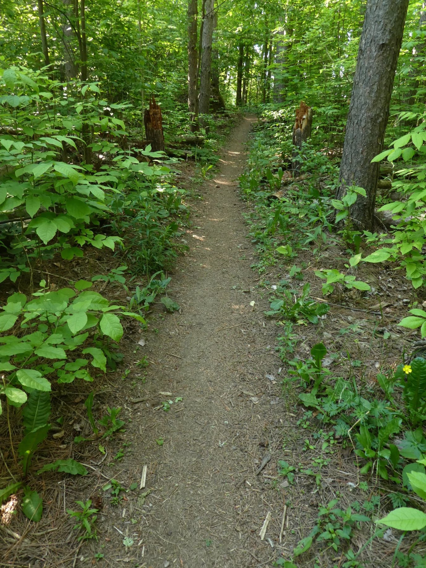
We will hike around the bike trails in this lovely Forest. The bugs will be active, so bring bug spray/bug net.WINS - Massie Hills Meander
https://hikes.brucetrail.org/event/massie-hills-meander/Sorry, the registration cut-off time for this hike has been reached.Not a member? Click here to join today!Hosting Club: Sydenham
Category: Walk In Nature Series (WINS)
Location (Google Maps): Meet at the parking lot on the west side of 6th Concession South, between Sideroad 3 and Sideroad 6. It is north of the entrance to the Massie Ski Trails. This parking lot is accessed via a narrow driveway that can be hard to see.
On Edition 31, Map 29, look for the Red P on the west side of Concession Road 6 SouthHike Leader(s): Fran Turner Click here to contact Hike Leader(s)
Pace: Medium: 3 to 4 km/h
Terrain: Moderate: Some hills and/or poor footing
Distance: 5 kmDescription
This will be a relaxing hike through the gently rolling hills of the Massie Hills Management Area. We will enjoy walking on the Bruce Trail and the Massie Ski Club trails to form a 5 km loop. - 26August 26, 2026
Beaver Valley Geology Hikes Badge Series #1/8 Len Gertier Memorial Loree Forest
https://hikes.brucetrail.org/event/beaver-valley-geology-hikes-badge-series/Sorry, the registration cut-off time for this hike has been reached.Not a member? Click here to join today!This is a Multi-Day Hike
You are signing up for the following dates and times:
2026-08-26 at 08:15
2026-09-05 at 08:30
2026-09-16 at 08:30
2026-10-03 at 09:00
2026-10-14 at 09:00
2026-10-21 at 09:00
2026-11-07 at 09:00
2026-11-14 at 09:00Hosting Club: Blue Mountains
Category: Organized Hike
Location (Google Maps): Tim Horton’s First Street, CollingwoodHike Leader(s): Annette Sandberg Click here to contact Hike Leader(s)
Pace: Medium – 3 to 4 km/hr
Terrain: Moderate – Some hills and/or some poor footing
Distance: 7.1Description
This badge is earned by hiking each of 8 hikes outlined in Beth Gilhespy’s first Bruce Trail Geology book, Walking Through Time, and then submitting a log which includes the required photo taken during each of the hikes. This is a great opportunity to boost your knowledge of the geology of the Niagara Escarpment. Gather some hiking buddies and become rock hounds! When you register, it will sign you up for all 8 hikes but if you can’t make it, you can do any of the hikes on your own and still get the badge! It is not Club led required.Hike 1 August 26 – Len Gertier Memorial Loree Forest: Natural Arch at Stop 4 (page 43). Natural arches are created when water pounding against a cliff face exploits crack and crevices, gradually wearing the rock away. Natural arches can become flowerpots if erosion continues. Thousands of years ago, the level of the Great Lakes was significantly higher and lapped up against the promontory of Loree Forest.
For the additional 7 hikes, please go to the dates below for hike description.Hike 2 – Sept 5
Hike 3 – Sept 23
Hike 4 – Oct 3
Hike 5 – Oct 14
Hike 6 – Oct 21
Hike 7 – Nov 7
Hike 8 – Nov 14Cootes Paradise South Shore Trails
https://hikes.brucetrail.org/event/cootes-paradise-south-shore-trails-3/Sorry, the registration cut-off time for this hike has been reached.Not a member? Click here to join today!Hike open to BTC Members only.
Hosting Club: Iroquoia
Category: Good Companions
Location (Google Maps):Princess Point parking lot – see map below
Hike Leader(s): Ted Bossence Click here to contact Hike Leader(s)
Pace: Medium – 3 to 4 km/hr
Terrain: Moderate – Some hills and/or some poor footing
Distance: 7.5 kmDescription
We will walk the trails to and from the McMaster University campus on mostly good trails with a few hills along the way. Please be at the start point by 9:15 am and we will leave by 9:30 am. RBG parking pass or paid parking at Princess Point. Bring bug repellant, sunscreen, water and a snack. I will cancel in the case of rain – please check your email the evening before the hike. I will email you the day before the hike with contact information for cancellations after 3:30 pm on the day prior to the hike.WEDNESDAY WALKERS: More West Beaver Valley
https://hikes.brucetrail.org/event/wednesday-walkers-more-west-beaver-valley-4/Sorry, the registration cut-off time for this hike has been reached.Not a member? Click here to join today!Hosting Club: Beaver Valley
Location (Google Maps): Meet in the parking lot on Sideroad 7A, km 82.4, Map 26, Edition 31
Hike Leader(s): Margaret Yaraskavitch Click here to contact the hike leader.
Pace: Medium
Terrain: Some rocky footing, Some steep sections
Length of Hike: 4.5 kmDescription
After shuttling to 13A, we will be walking through a stretch of valley slope. There are mature hardwood forests, numerous crevices and interesting rock formations along our route. We end with a big view across the Beaver Valley.
5:00 pm Hike & Picnic then “Gateau & Grace” HARP & VIOLIN DUO
https://hikes.brucetrail.org/event/500-pm-hike-picnic-then-gateau-grace-6/Sorry, the registration cut-off time for this hike has been reached.Not a member? Click here to join today!Hosting Club: Niagara
Category: Urban
Location (Google Maps):St Andrew’s Presbyterian Church in Niagara-on-the-Lake.
Hike Leader(s): Suzanne Gourluck Click here to contact Hike Leader(s)
Pace: Leisurely <3 km/hr
Terrain: Easy: mostly flat, good footing
Distance: 6 kmDescription
This is a series of hikes which will take place on 3 Wednesday evenings in July and August. We will hike around Niagara-on-the-Lake and surrounds (1.5 hrs) stopping for a shared picnic on the lawns of St Andrews. At 7 pm others will join us on the lawns and you will have your choice of some delicious cakes. Then we will go inside to enjoy a special musical performance and a short reflection on “Grace”. This is a free eventBring a folding chair and some savoury food to share (dessert is provided). Dress so you’ll be comfortable hiking and picnicking. A change of clothes is not required. Bathrooms will be available.
- 27August 27, 2026
8:00 am Long hike NEW Location. Bailey bridge Jordan
https://hikes.brucetrail.org/event/800-am-long-hike-new-location-bailey-bridge-jordan-9/Sorry, the registration cut-off time for this hike has been reached.Not a member? Click here to join today!Hosting Club: Niagara
Location (Google Maps):
Bailey bridge Jordan
Hike Leader(s): Alan Laver Click here to contact Hike Leader(s)
Pace: Brisk 4-5 km/hr
Terrain: Strenuous: hilly, with steep climbs, poor footing
Distance: ~10kDescription
This will be our permanent location . Hike up from the Bailey bridge to Balls Falls and explore the trailsYou must register for each hike. Bring Poles, snack and a drink. Dress for the weather
Mulmur Hills Loop
https://hikes.brucetrail.org/event/mulmur-hills-loop/Sorry, the registration cut-off time for this hike has been reached.Not a member? Click here to join today!Hosting Club: Dufferin Hi-Land, Beaver Valley
Location (Google Maps): Meet at Bruce Trail Mulmur Hills parking lot
716599 1st Line E #716553, Mulmur, ON L9V 0G1Hike Leader(s): Alan McPherson Click here to contact the hike leader.
Pace: Medium
Terrain: Moderate, Some rocky footing
Length of Hike: 9.8 kmDescription
Hike leader is Alan McPherson. Hike starts at the parking lot and we cross the road to to do a small loop using the Rockhill Park Side Trail. We return to the parking lot and follow the main trail east through meadows and then forest. Stay on the main trail for several km until reaching the Oliver Creek Side Trail which will loop us back to the main trail and then return to the parking area.Please arrive 10 minutes early for introductions so we can start at 9:00 am sharp. There are hilly sections which can be slick when wet. Most of our walk will be in the shade of the forest, but there are some open sections. Bring water and snacks as we will take regular breaks to enjoy views or other sights. Sunscreen and bug protection are always recommended. Bring extra water if it is a hot day.
Beaver Bites - Hike 4 of 4
https://hikes.brucetrail.org/event/beaver-bites-hike-4-of-4/Sorry, the registration cut-off time for this hike has been reached.Not a member? Click here to join today!Hosting Club: Caledon Hills
Category: General
Location (Google Maps): Meet at Hogg’s Falls parking, km 65.1, on the west side of Lower Valley Rd., north of East Back Line.Hike Leader(s): Nancy Mooney Click here to contact Hike Leader(s)
Pace: Medium – 3 to 4 km/hour
Terrain: Moderate – some hills and/or some poor footing, Strenuous – hilly with steep climbs and some poor footing
Distance: The first hike will be about 6 km and the second about 7 km.Description
This last pair of hikes in the series will take us looping around Hogg’s Falls and after a lunch break at Beaver Valley Lookout we will cross Grey Road 13 and explore the new group of trails including Eagles Summit and East Mountain. Celebration with ice cream at Top of The Rock!Hiking around Jordan
https://hikes.brucetrail.org/event/hiking-around-jordan-69/Sorry, the registration cut-off time for this hike has been reached.Not a member? Click here to join today!Hosting Club: Niagara
Category: In and Out
Location (Google Maps): Sho’aríshon Park, Jordan StationHike Leader(s): Bill Russell Click here to contact Hike Leader(s)
Pace: Medium 3- 4 km/hr
Terrain: Moderate: some hills and some poor footing
Distance: 6 kmsDescription
Hiking in and around Jordan, Rainforth Trail and Balls Falls, alternating every 3 weeks.Urban Walk: Valley View Park 225
https://hikes.brucetrail.org/event/car-hike-valley-view-huntington-park-2/Sorry, the registration cut-off time for this hike has been reached.Not a member? Click here to join today!Hosting Club: Toronto
Location (Google Maps): Parking lot is off Sycamore Drive, East of Bayview , across Starbucks plaza
Bus 91 from Finch East station stops at Sycamore station.Hike Leader(s): Mohammad Aghamiri
Pace: Moderate (3-4 km/hr)
Terrain: Hilly, Level 2 (Intermediate – some hills and uneven surfaces, rocks and roots underfoot)
Distance (km): 6-7 kmDescription
We will explore Valleyview and Maple View parks, and walk along German Mill Creak, in return we stop in Huntington park and have snack under beautiful shed.Although this is considered an “Urban Walk”, you can expect some hills up and down and uneven surfaces with tree roots. Please bring hiking poles, water and snacks.

CANCELLED - Heritage Rd to Silver Creek (linear hike)
https://hikes.brucetrail.org/event/heritage-rd-to-silver-creek-linear-hike/Sorry, the registration cut-off time for this hike has been reached.Not a member? Click here to join today!Hosting Club: Iroquoia
Category: General Hike
Location (Google Maps): Meet at Silver Creek Conservation Area on Fallbrook Trail Rd at 9:15 amHike Leader(s): Karen Bergmann Click here to contact Hike Leader(s)
Pace: Medium – 3 to 4 km/hr
Terrain: Moderate – Some hills and/or some poor footing
Distance: 9 kmsDescription
Meeting at 9:15 am roadside at Silver Creek Conservation Area, we will carpool to Heritage Rd and hike back along the main trail through Terra Cotta CA and Silver Creek CA. Be prepared for rocks and a few hilly bits. Bring sufficient water, a snack and bug spray/bug net.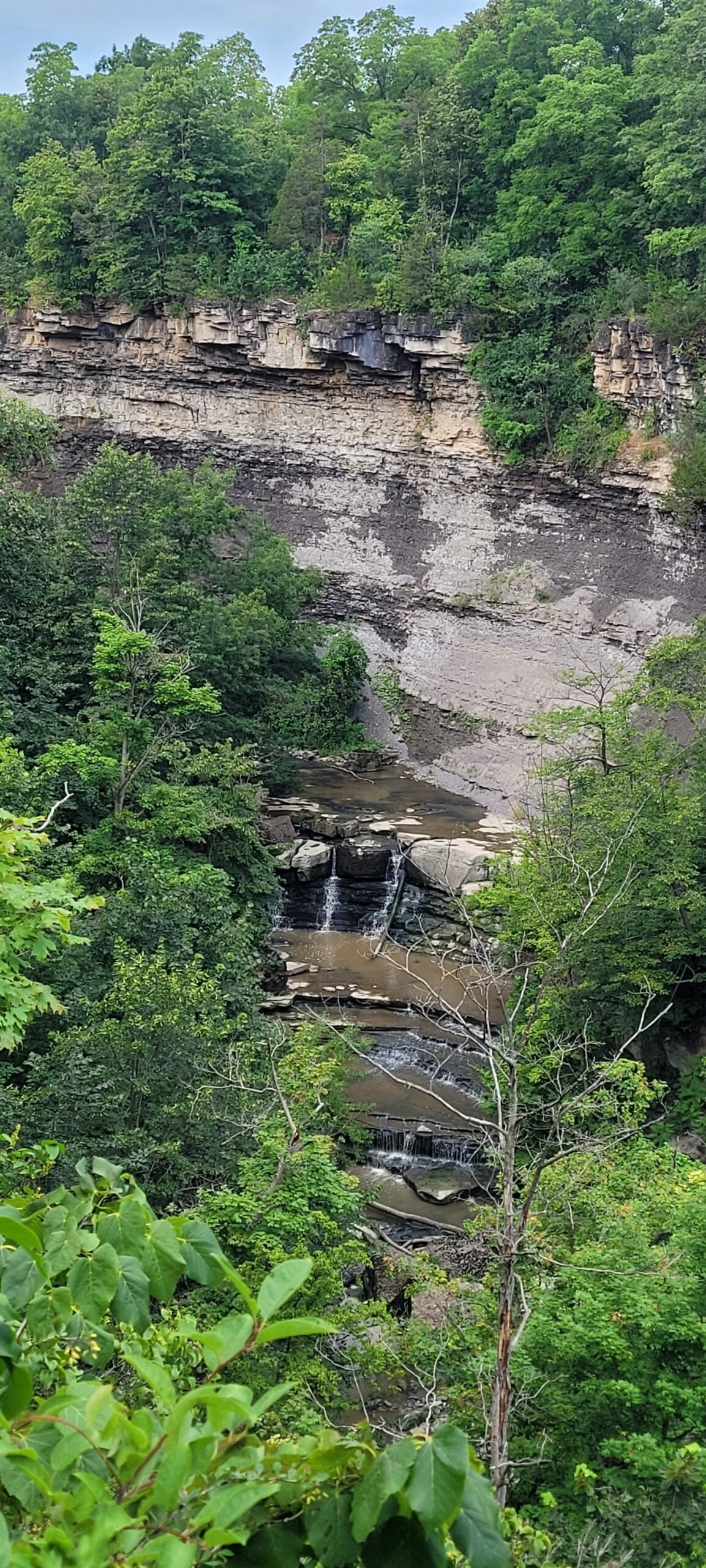
Chasing Waterfalls - Rockway Conservation
https://hikes.brucetrail.org/event/chasing-waterfalls-rockway-conservation/Sorry, the registration cut-off time for this hike has been reached.Not a member? Click here to join today!Hosting Club: Niagara
Category: Rainbow 🌈
Location (Google Maps): Rockway Conservation Area
Parking is freeHike Leader(s): Dian Wright Click here to contact Hike Leader(s)
Pace: Leisurely <3 km/hr
Terrain: Moderate: some hills and some poor footing
Distance: 5 kmDescription
Join the Niagara Bruce Trail Club, at Rockway Conservation Area!Hike Details
Route: This hike starts at the parking lot at Rockway Conservation Area. We will hike along the Bruce Trail towards Louth and then loop back to Rockway and take the waterfall side trail.
Terrain: Rockway has some hills, ups and downs in a mostly forested setting. We will adjust the pace to the group but be prepared for some rocky or uneven footing and climbing up and down. We recommend using hiking poles. Wearing good hiking shoes is a must. Carry water, wear a hat and insect repellent – mosquito season is underway. We will take a break at the lower falls – bring a snack or maybe some to share!
The hike goes ahead rain or shine unless there are dangerous weather conditions – the hike leader will contact you by email if anything changes.
***Please arrive by 5:45 to check in with the hike leaders for departure right at 6pm.
8:00 pm Sunset & Moonlight Night Hike in Niagara-on-the-Lake
https://hikes.brucetrail.org/event/800-pm-sunset-moonlight-night-hike-in-niagara-on-the-lake-5/Sorry, the registration cut-off time for this hike has been reached.Not a member? Click here to join today!Hike open to BTC Members only.
Hosting Club: Niagara
Category: Night
Location (Google Maps):Veteran’s Memorial Park, park just outside the park on King St.
Hike Leader(s): Robin Garrett Click here to contact Hike Leader(s)
Pace: Leisurely <3 km/hr
Distance: 6-7 km
Description
Moonlight Night Hike – Take in the magic of the rising moon over Lake Ontario and the Niagara River. This hike includes a stop to connect with your senses – sights, sounds, smells and the rhythm of your breath. Counts towards your night hike badge (5 night hikes).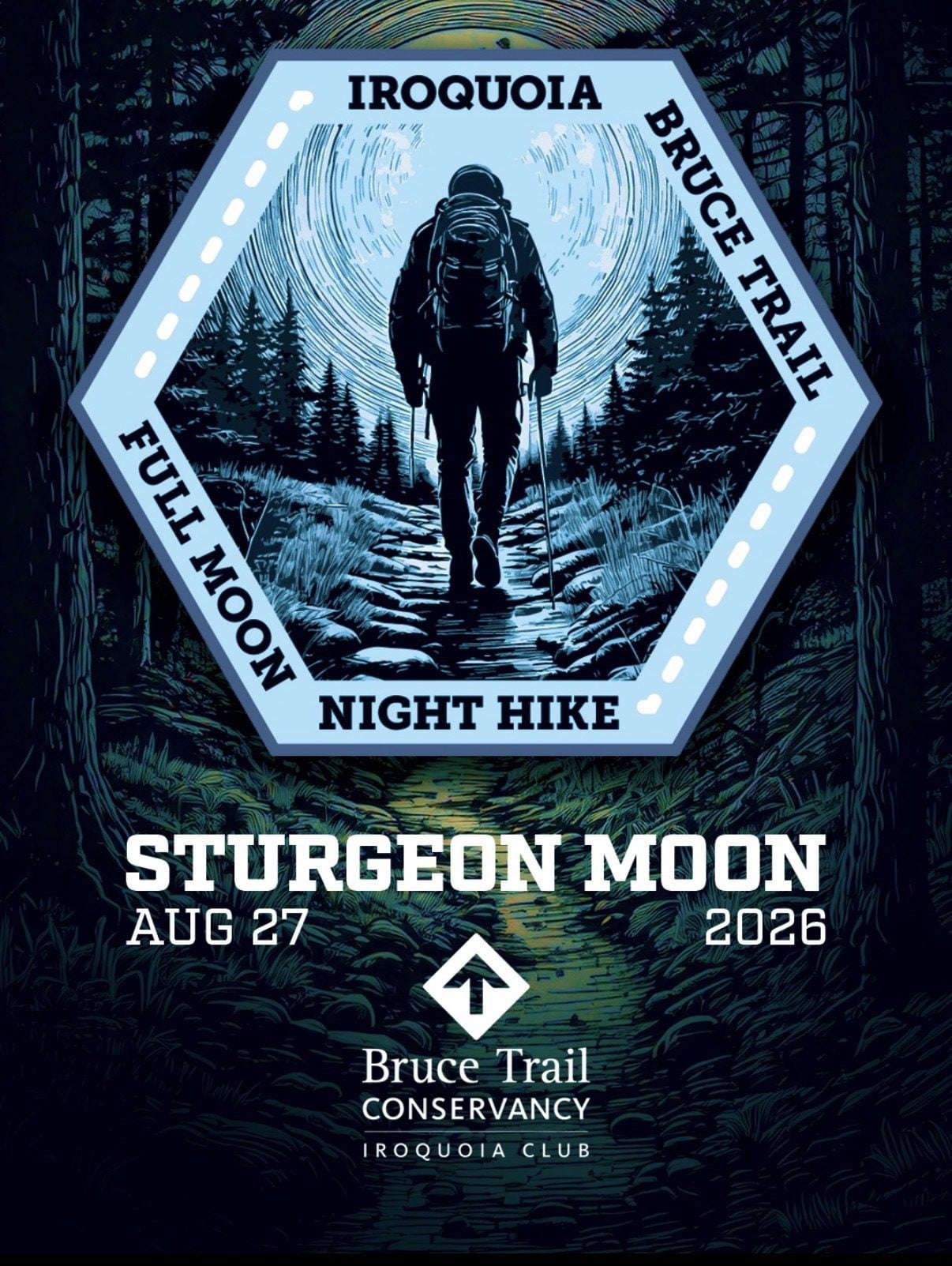
Full Moon Night Hike No.9 (Sturgeon Moon)
https://hikes.brucetrail.org/event/full-moon-night-hike-no-9-sturgeon-moon/Sorry, the registration cut-off time for this hike has been reached.Not a member? Click here to join today!Hosting Club: Iroquoia
Category: Moonlight Hikes
Location (Google Maps): We will meet at Coronation Park in Oakville the smaller farthest east parking lot – across from the water filtration plant. (follow the GPS coordinates).Hike Leader(s): Joe Borges Click here to contact Hike Leader(s)
Pace: Medium – 3 to 4 km/hr
Terrain: Dependent on Conditions, Easy – Mostly flat and usually good footing
Distance: 5 kmDescription
The Sturgeon Moon hike is the ninth full moon of 2026. The full moon is 12:30 am on Aug 28th, so we will see almost peak – PLUS the partial Lunar Eclipse starts around 9:30 pm Aug 27.This is the third urban Oakville hike and this time we’ll be walking through Coronation Park along the lake, toward Bronte Harbour, we’ll walk the break water at the marina and then head back along the lake to our cars. The views of the lake and Moon should be excellent if we get a clear night.
We will meet at Coronation Park in Oakville the smaller farthest east parking lot – across from the water filtration plant. The lot is next to the Canoe / Kayak launch (follow the GPS coordinates). DO NOT park in the Main lot. I will have my tailgate up on my white Nissan Qashqai.
Please plan to arrive by 8:45 pm so we can get everyone registered and head out at 9:00 pm.
Be sure to dress for the weather, bring 1.5 L of water, bug spray and poles if you use them. Also headlamp or flashlight. You can leave them off and use them when needed.
To view our route on AllTrails, please visit:
https://www.alltrails.com/explore/recording/evening-hike-at-ibtc-buck-moon-night-hike-no8-caffa39?u=m&sh=4wexyxIf this is your third hike in the series you qualify for the Iroquoia Full Moon badge – new for 2026! Cost is $10 for BTC Members and $15 for non-members. Badges can be picked up at this hike if you pre-order and pay through Iroquoia Bruce Trail Club Badges – Iroquoia Bruce Trail Club
Members / Click to Purchase Your Badges
https://www.zeffy.com/en-CA/ticketing/1de4dba1-aca4-44e2-b0b0-d94f1c826c42Non-Members / Click to Purchase Your Badges
https://www.zeffy.com/en-CA/ticketing/93131d23-cc73-44fe-913d-e4938ee174c6 - 28August 28, 2026
Brisk Fridays - Kemble Sidetrails
https://hikes.brucetrail.org/event/kemble-sidetrails-2/Sorry, the registration cut-off time for this hike has been reached.Not a member? Click here to join today!Hosting Club: Sydenham
Category: Brisk Fridays
Location (Google Maps): Roadside parking at the corner of Coles and Taylor Side Roads, south of km 140.7 (Map 34)Hike Leader(s): Sheri Hatcher Click here to contact Hike Leader(s)
Pace: Brisk: 4 to 5 km/h
Terrain: Moderate: Some hills and/or poor footing, There might be muddy sections.
Distance: 10 kmDescription
This scenic loop hike begins and ends at the Don Richards Side Trail parking lot, passing through crevices, mature cedar and hardwood forests, and the remains of a mysterious cabin. Along with a section of the main trail, we will hike the Mystery Cabin, Cedar Point, and Kemble Wetland side trails.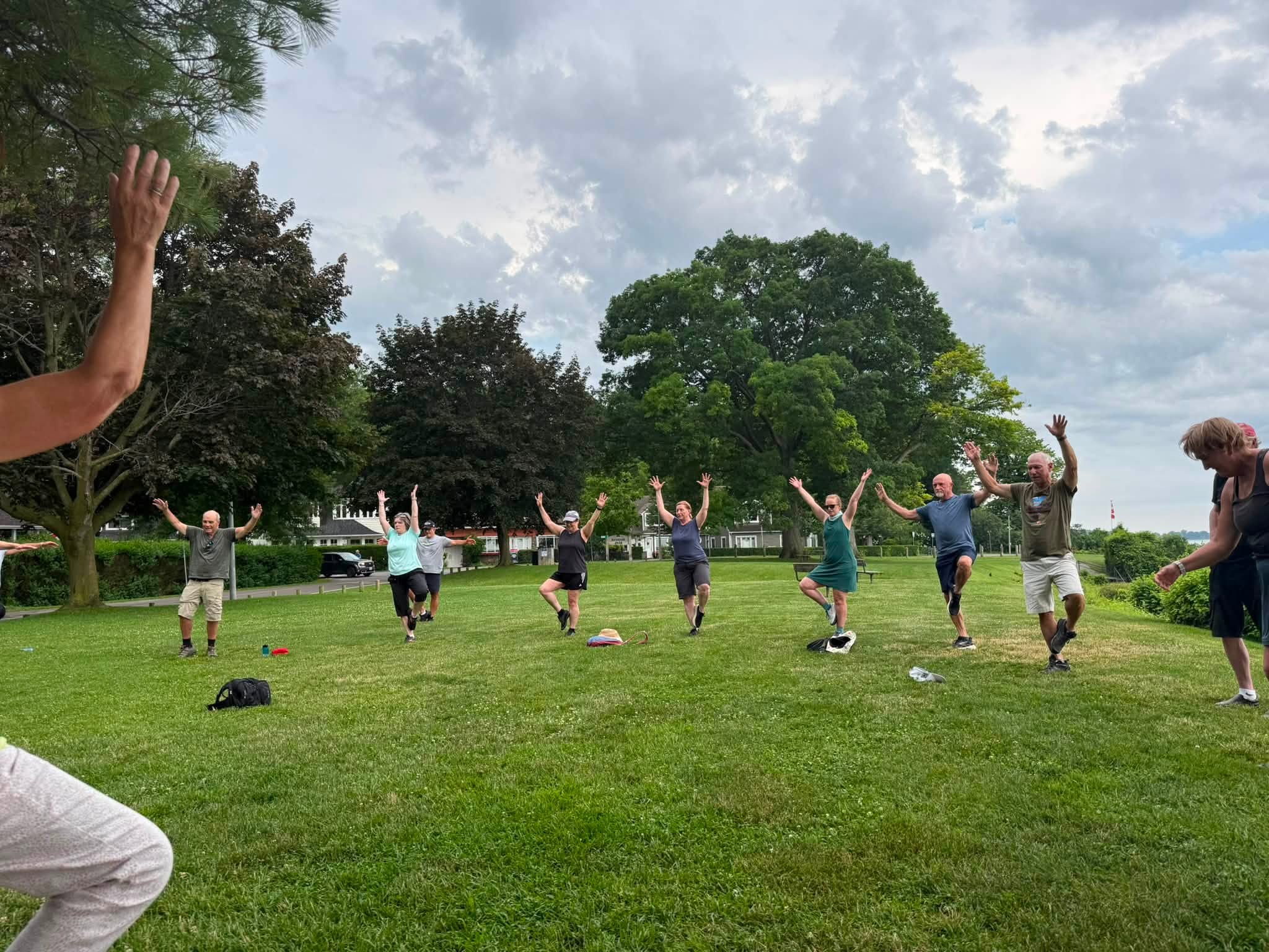
9:00 am Niagara on the Lake Tour & Some Yoga
https://hikes.brucetrail.org/event/900-am-niagara-on-the-lake-tour-some-yoga-29/Sorry, the registration cut-off time for this hike has been reached.Not a member? Click here to join today!Hike open to BTC Members only.
Hosting Club: Niagara
Category: Urban
Location (Google Maps):Veteran’s Memorial Park, park just outside the park on King St.
Hike Leader(s): Robin Garrett Click here to contact Hike Leader(s)
Pace: Leisurely <3 km/hr
Distance: 5 km
Description
Enjoy the benefits of pausing for a yoga practice as we tour through the trails, parkland and Historic Niagara-on-the-Lake. No mat required. Movement will focus on a flow of standing poses designed especially for hikers. Plan to stay for conversation and a warm cup of coffee or tea at Sweets & Swirls, Community Centre, Niagara Stone Road, NOTL.Beaver Valley E2E in 8 - Hike 1
https://hikes.brucetrail.org/event/beaver-valley-e2e-in-8-hike-1/Sorry, the registration cut-off time for this hike has been reached.Not a member? Click here to join today!Hike open to BTC Members only.
Hosting Club: Iroquoia, Beaver Valley
Category: General Hike
Location (Google Maps): Off road parking on west side of 6th Line north of Grey Road 119Hike Leader(s): Pati Greenwood, Jeff Dowsett Click here to contact Hike Leader(s)
Pace: Medium – 3 to 4 km/hr
Terrain: Moderate – Some hills and/or some poor footing, Slippery and Steep Sections
Distance: 14.25Description
This is an End-to-End hike series to complete the Beaver Valley section of the Bruce Trail in 8 hikes. Join for all or as many hikes as desired – you will need to register for each hike in the series which will take place on the following dates: August 28, August 29, September 11, September 12, October 2, October 3, October 16 & October 17. Hikers completing the entire series will be eligible to obtain an end-to-end badge from the BTC Beaver Valley Club.Since this is a group hike, please consider your fitness level before registering. This section of the trail has numerous hills and rough terrain in spots. We will be walking at a pace of 3km – 4km per hour and hikers will need to keep up with the person in front of them for the duration of the hike. The hike series will also involve car shuttles and every hiker is expected to participate as drivers.
Weather conditions in the late summer can still be quite warm, but the hike schedule will extend to mid-October so it’s best come prepared for varying weather conditions. Hiking boots are required and hiking poles are strongly recommended. Bring plenty of fluids and a snack. Insects and ticks will still be active at this time of year, long pants and long sleeves are recommended as is insect repellent.
Specific hike details will be provided to registered hikers a few days prior to each hike.

Peninsula Sturgeon Full Moon Hike - Meet time is 7:15pm
https://hikes.brucetrail.org/event/peninsula-sturgeon-full-moon-hike-meet-time-is-745pm/Sorry, the registration cut-off time for this hike has been reached.Not a member? Click here to join today!Hosting Club: Iroquoia, Peninsula
Category: Moonlight Hikes
Location (Google Maps): Meet in the Bruce Trail parking lot located off of Cape Chin North RoadHike Leader(s): Ruth Moffatt Click here to contact Hike Leader(s)
Pace: Leisurely – 3km/hr or less, Medium – 3 to 4 km/hr
Terrain: Dependent on Conditions, Moderate – Some hills and/or some poor footing, Strenuous – Hilly with steep climbs and some poor footing
Distance: 10 kmDescription
This full moon hike is in the Peninsula Section of trail and led by an Iroquoia Hike Leader.Welcome to more Full Moon Hike Series – This is the 3/4 full moon hikes. Details for collecting badges are at the bottom of the hike details.
We will meet in the parking lot located off Cape Chin North Road. From here we will take the Cape Chin Meadows Side Trail and connect. with the main trail out to Cape Chin and then follow the loop around to connect back up with the Cape Chin Meadows Side Trail.Sunset is at 8:10pm
Bring water and whatever snacks you need as well as a first aid kit, poles if you use them and most importantly, a head-lamp with a red light if you have one.The next full moon hike is September 26 Harvest Moon – Meet time is 6:00 pm
The following is from the Bruce Trail Conservancy website regarding Hiking at Night.
While most hikers choose to explore the Bruce Trail by day to take in the colourful sights and vast vistas, venturing out after dark also has its benefits.
Hiking at night allows you to tap into other senses and explore nature in a whole new way. From stargazing to nocturnal animal sightings, there is a lot to see and hear when exploring the Bruce Trail after sunset. No matter your motivation for heading out for a nighttime hike, certain precautions should be taken to ensure that your time on the Trail is safe and enjoyable.Before you go
Plan your route and choose somewhere familiar. It’s easy to get turned around in the darkness. Planning your route and hiking it in daylight first will help you know what to expect. If you’ve never tried hiking at night, start with a shorter hike somewhere familiar to you. Always stay on the Trail to avoid getting lost.Bring a headlamp or flashlight and extra batteries. The Trail can be quite rugged with uneven surfaces, rocks, and roots. A headlamp or flashlight is essential for preventing trips and falls – and both are brighter and last longer than your phone’s built-in light. A light source with different settings, including a red light, is ideal as bright lights can be hard on your eyes over time.
Bring a fully charged cell phone. You should always bring your phone with you when hitting the trails in case you need to call for help. Most phones have a flashlight function that can act as a backup to your headlamp. You can also use your phone’s GPS with apps like the Bruce Trail App and what3words for navigational and safety purposes.
Wear reflective clothing and bring a whistle. A reflective piece of clothing can help other hikers or drivers see you in the darkness. A whistle can help others hear you in case of an emergency, even if they can’t see you.
Plan to do your first hike under a full moon and a clear sky.
A full moon can provide a surprising amount of light. Planning your first night hike during a full moon and clear sky can be a great way to acclimate yourself to hiking after dark.Don’t go solo and tell someone where you are going. Always share your route with someone before heading out in case of an emergency. Bring a friend to explore the Trail together, or join one of the moonlit hikes offered by some Bruce Trail Clubs.
Bring layers. The temperature can drop quickly in the woods at night. Bring layers to stay warm and comfortable.
While HikingSlow down and be aware of hazards. Don’t expect to hike at the same pace you would in daylight. Darkness can make the terrain more challenging. Slow down, pay attention to your surroundings, and stay away from cliff edges to prevent injuries.
Be prepared for wildlife. Many animals such as coyotes, owls, bats, salamanders, foxes, opossums, and skunks are active at night. Sightings can enhance your nighttime hiking experience but be careful not to get too close. Keep your ears open to the sounds around you to avoid unwanted interactions.
While more preparations may be needed for a hike after dusk, for many, once they find themselves in the cool of the night gazing up at the constellations or watching an owl swoop through the darkness, the effort is well worth it.
If you are collecting your badge tonight or September 26, please bring exact cash $10 for members and $15 for non-members to cover the cost of the badge. You must’ve have completed at least 4 full moon hikes. If you wish to pay by e-transfer and have your badge mailed out to you, you may also choose to receive it that way. For simplicity sake, and because it will be dark out, it would be appreciated if you could please choose one method of receiving your badge or the other. Badges are on the honour system so if this is your 4th hike, please feel free to receive your badge.
Full Moon Family Hike
https://hikes.brucetrail.org/event/full-moon-family-star-gazing-hike/Sorry, the registration cut-off time for this hike has been reached.Not a member? Click here to join today!Hosting Club: Dufferin Hi-Land
Category: Special Events
Location (Google Maps): Bruce Trail parking lot on 2nd line EHS (south of 89 and 3 roads east of Highway 10)at the beginning of the spilt rock trail. Please see Google Maps link in this hike description for GPS location.Hike Leader(s): Helen Bailey; Margery Cruise Click here to contact Hike Leader(s)
Pace: Leisurely
Terrain: Dependent on Conditions, Easy
Distance: 2 kmsDescription
A full moon hike around Splitrock Narrows is your chance to turn an ordinary evening into an adventure. Come with us as we take a short hike through the Dufferin Hi-lands to experience hiking by moonlight. Throughout the hike our guide Megan will teach us about phases of the moon and notable features of the summer night. This is a short, easy hike suitable for all adults and children over 6 years old.The hike will start promptly at 8:30pm . Please wear long sleeved tops and long pants to avoid any mosquitos or ticks and bring bug spray. Wear sturdy shoes and bring a headlamp or flashlight which we will use only if necessary. Please bring a drink also. Pre-registration is required.
- 29August 29, 2026
Car Hike: Uxbridge-Brock Track
https://hikes.brucetrail.org/event/car-hike-uxbridge-brock-track-8/Sorry, the registration cut-off time for this hike has been reached.Not a member? Click here to join today!Hosting Club: Toronto
Category: Car Hike
Location (Google Maps):Meet at the Brock Tract parking lot on the east side of Durham 1/Brock Rd., approximately 5 km south of Coppin’s Corners, Uxbridge or 1 km north of Uxbridge Pickering Town Line. 1401 Brock Rd. (Free parking).
Hike Leader(s): Amir Alemohammad Click here to contact Hike Leader(s)
Pace: Moderate (3-4 km/hr)
Terrain: Flat, Hilly, Level 2 (Intermediate – some hills and uneven surfaces, rocks and roots underfoot), Variable
Distance (km): 14-16 kmDescription
Join us for a wonderful hike in Uxbridge starting from Brock Track parking lot. We will hike the Brock Track and Wilder Forest among the amazing trails of Uxbridge.Boots mandatory, poles recommended, bring 2 litres of water and dress according to weather conditions.
Please arrive at 7:45 for a 8:00 start.
Beware, Iphone Maps may take you to the wrong location. Check the location with Google Maps the previous night.
This is a joint hike with Oak Ridges Trail Association (ORTA).
Coach Trip: Petroglyphs Provincial Park
https://hikes.brucetrail.org/event/coach-trip-petroglyphs-provincial-park-2/Sorry, the registration cut-off time for this hike has been reached.Not a member? Click here to join today!Trip Information
Departure Time: 08:00
Return to City Time: 19:00
Departure Point: York Mills Bus PickupTrip Activities
Hiking ($0.01)
Optional ItemsHosting Club: Toronto
Category: Coach Trips
Location (Google Maps): Petroglyphs Provincial ParkHike Leader(s): Robin Crombie, Felix Wan, Brian Rideout, Tom Swales Click here to contact Hike Leader(s)
Pace: Moderate (3-4 km/hr)
Terrain: Hilly, Level 2 (Intermediate – some hills and uneven surfaces, rocks and roots underfoot), Rocky, Variable
Distance (km): 8 or 5.2Description
*Re-scheduled from June*Join us for a visit to Petroglyphs Provincial Park.
Hikers will have the option to join one of two groups.
Group #1 (Robin and Felix):
The day will be divided into two portions. We’ll begin by touring the exhibits and watching a 20-minute video at the Learning Place Visitor Centre to discover the traditions of the Ojibway (Nishnaabe) people, which will be followed by a 45-minute guided tour of the Kinoomaage Waapkong (aka The Teaching Rocks or the Peterborough Petroglyphs), the largest known concentration of Indigenous rock carvings (petroglyphs) in Canada. Afterwards, we will hike along the Nanabush Trail, stopping near Minnow Lake for a lunch break, then continue our hike along the Marsh and West Day Use Trails. The total distance will be approximately 8 km.
Group #2 (Brian and Tom):
After the stop at the Visitor Centre and the tour of the Petroglyphs (see above), we will proceed to the trails to complete a shorter hike of approximately 5.2 km.
The trails are in the heart of the Canadian Shield and are rugged. There are rocks and roots, and some hilly stretches. Bring hiking boots and poles if you have them. Also bring a lunch and snacks, at least 2L of drinking water, rain/sun protection, and insect repellent.
If time permits, we will have a refreshment stop in the town of Lakefield.
Expect a late return to Toronto (approximately 7:00 p.m., traffic conditions permitting).
** The bus fare includes the prorated bus parking permit charge at Petroglyphs Provincial Park and the anticipated fuel surcharge at the time of the trip.
=>>> Please read our Paid Hikes Refund Policy before registering: https://torontobrucetrailclub.org/hikes/no-show-policy”. There will be no refunds for this hike if the registrant cancels or misses the coach on the date of departure for any reason. Registration fees are not transferrable between different hikes nor can unused fares qualify for a tax receipt.
Beaver Valley End to End Event (participants hike independently, no hike leader)
https://hikes.brucetrail.org/event/beaver-valley-end-to-end-event-participants-hike-independently-no-hike-leader-3/Sorry, the registration cut-off time for this hike has been reached.Not a member? Click here to join today!This is a Multi-Day Hike
You are signing up for the following dates:
2026-08-29, 2026-08-30, 2026-09-05, 2026-09-06, 2026-09-07Hosting Club: Beaver Valley
Location (Google Maps): Meet in the Kolapore Uplands skiers parking lot on Grey County Road 2, 650 m south of where the trail crosses the road at km 23.8, Map 24, Edition 30 N44.422919, W80.405597. Plan to be there at 7:30 a.m. for sign in and bus loading. The bus will leave promptly at 8:00 a.m.
Hike Leader(s): Glenda Collings Click here to contact the hike leader.
Pace: Medium
Terrain: Some rocky footing, Some steep sections, Strenuous
Length of Hike: The 5 hikes range from approx. 22 km 26 km. You set your own pace but medium will get the job done in a timely fashion.Description
Beaver Valley 2026 End-to-End
August 29, 30 and September 5,6,7
Registration will be through the Bruce Trail Conservancy Online Calendar and will open at 8:30 a.m. on May 4, 2026. Registration is limited to 50 people because of parking area availability. Once registration is full, names will be added to a wait list by the Online Calendar software. The registration fee of $130.00 includes the online registration fee, bus shuttle, checkpoint refreshments and the End-to-End badge. Refunds will be permitted up to 30 days before the first hike date of August 29. Hikers should have experience with hiking 20+ km in a day on challenging terrain.Complete details of the event will be emailed to participants once registration is received. For more information contact beavervalleytrailactivities@gmail.com
Cherry Beach Down town
https://hikes.brucetrail.org/event/car-hike-glasgow-village-uxbridge-9/Sorry, the registration cut-off time for this hike has been reached.Not a member? Click here to join today!Hosting Club: Toronto
Location (Google Maps): Cherry Beach Parking Lot, at the foot of Cherry Street (Free Parking)
Hike Leader(s): MOHAMMAD AGHAMIRI Click here to contact Hike Leader(s)
Pace: Moderate (3-4 km/hr)
Terrain: Level 1 (Easy – mostly on flat, well maintained trails with hard-packed surface), Variable
Distance (km): 14-15 kmDescription
We will hike along the waterfront trail.At the end of hike you have an option to swimSome safety procedures during the hike:
1-Hikers must stay between the leader and the sweep.
2-Hikers must advise the leader or the sweep if they wish to leave the group.
3- Hikers must follow the whistle instructions: 1 blast- stay where you are; 2 blasts come to the leader; 3 blasts – come to the leader quickly.
4-Hike leader may request volunteers to stop at trail intersections, they need to help hikers to the direction the group walk and wait till they see the sweep .
5-Hikers have to make sure they can see the persons behind and in front of them.
Beaver Valley E2E in 8 - Hike 2
https://hikes.brucetrail.org/event/beaver-valley-e2e-in-8-hike-2/Sorry, the registration cut-off time for this hike has been reached.Not a member? Click here to join today!Hike open to BTC Members only.
Hosting Club: Iroquoia, Beaver Valley
Category: General Hike
Location (Google Maps): Parking lot 100 meters south of the Main Trail crossing on 10th LineHike Leader(s): Pati Greenwood, Jeff Dowsett Click here to contact Hike Leader(s)
Pace: Medium – 3 to 4 km/hr
Terrain: Moderate – Some hills and/or some poor footing, Strenuous – Hilly with steep climbs and some poor footing
Distance: 14.65kmDescription
This is hike 2 of the End-to-End hike series to complete the Beaver Valley section of the Bruce Trail in 8 hikes. Join for all or as many hikes as desired – you will need to register for each hike in the series which will take place on the following dates: August 28, August 29, September 11, September 12, October 2, October 3, October 16 & October 17. Hikers completing the entire series will be eligible to obtain an end-to-end badge from the BTC Beaver Valley Club.Since this is a group hike, please consider your fitness level before registering. This section of the trail has numerous hills and rough terrain in spots. We will be walking at a pace of 3km – 4km per hour and hikers will need to keep up with the person in front of them for the duration of the hike. The hike series will also involve car shuttles and every hiker is expected to participate as drivers.
Weather conditions in the late summer can still be quite warm, but the hike schedule will extend to mid-October so it’s best come prepared for varying weather conditions. Hiking boots are required and hiking poles are strongly recommended. Bring plenty of fluids and a snack. Insects and ticks will still be active at this time of year, long pants and long sleeves are recommended as is insect repellent.
Specific hike details will be provided to registered hikers a few days prior to each hike.
Urban Walk: Humber River Walk
https://hikes.brucetrail.org/event/urban-walk-humber-river-walk/Sorry, the registration cut-off time for this hike has been reached.Not a member? Click here to join today!Hosting Club: Toronto
Category: Urban Walk
Location (Google Maps): Weston – Cruickshank Park, parking lot Lawrence Ave W and Hickory Tree Rd.Hike Leader(s): Janet McColeman Click here to contact Hike Leader(s)
Pace: Moderate (3-4 km/hr)
Terrain: Level 2 (Intermediate – some hills and uneven surfaces, rocks and roots underfoot)
Distance (km): 12kmDescription
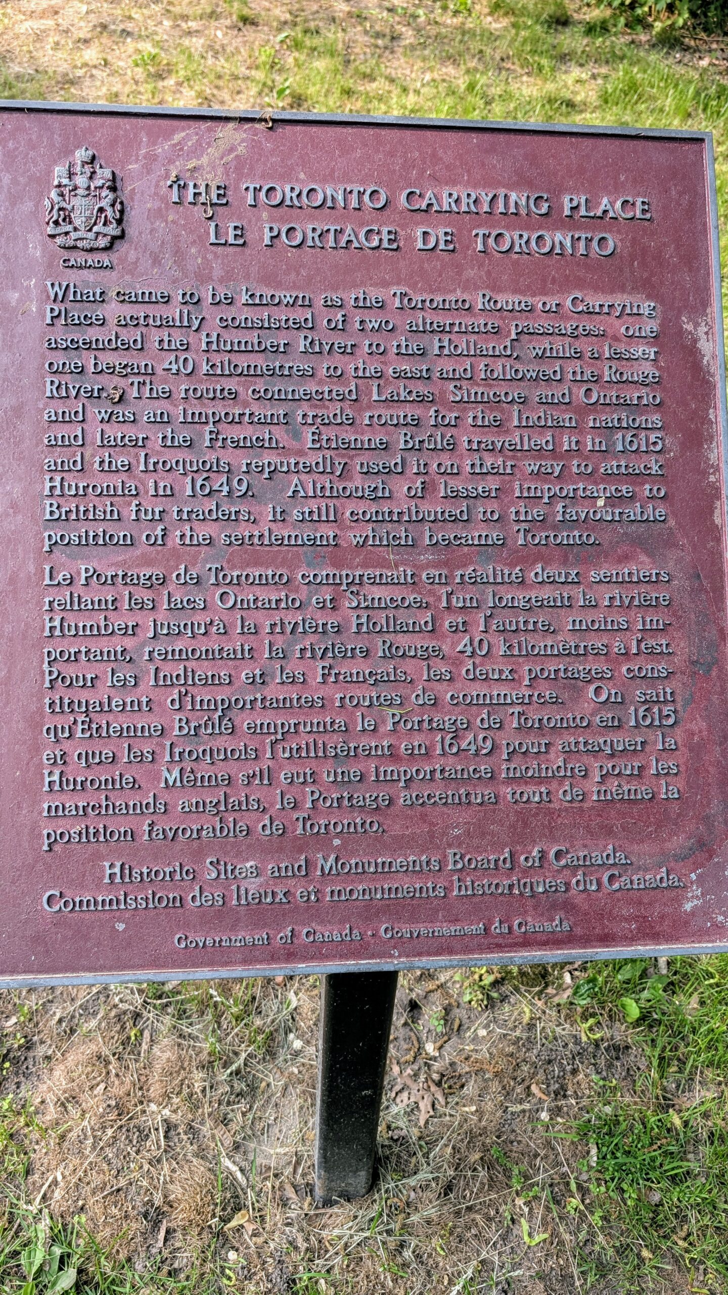
A walk down the Humber River & Toronto Carrying Place. We will travel southbound, at a moderate pace, on the Humber River Trail. Starting at 9:00am our walk will include stops at James Gardens, Lambton Woods, Magwood Park, and Baby Point Road. Walk will end at Jane Subway Station. Earlier drop out points along the route. The total length of the walk will be dependent on the weather. Bring water, snacks/lunch, sunscreen, sun hat, and bug/tick spray.Meet in Cruickshank Park by 9:00am Saturday Aug. 29th. There is a small parking lot on the northside of Lawrence Ave West/Hickory Tree Road. The following direct TTC Bus routes pass the park: #89 Weston (from Keele Stn Line 2 or Mount Dennis Line 5), #79 Scarlett Rd (from Runnymede Stn Line 2), and #52 Lawrence West (from Lawrence West Stn Line 1). Weston GO Station is a 10-minute walk from the Park. Sunny weather is in the forecast, a high of 26°C. Join me on a nice sunny day to walk along the Humber River in the heart of Etobicoke.

RIM 2 RIM Badge Hike #3 Noisy River (Third in a series of 3 for the Rim2Rim badge)
https://hikes.brucetrail.org/event/rim-2-rim-badge-hike-3-noisy-river-third-in-a-series-of-3-for-the-rim2rim-badge/Sorry, the registration cut-off time for this hike has been reached.Not a member? Click here to join today!Hosting Club: Blue Mountains
Category: Organized Hike
Location (Google Maps): Noisy River Provincial Park. Park along roadside SImcoe Country Road 9, Clearview, ON L0M 1G0. 6.1Km Map 21 Ed 31Hike Leader(s): Rob Johnston Click here to contact Hike Leader(s)
Pace: Medium – 3 to 4 km/hr
Terrain: Strenuous – Hilly with steep climbs and some poor footing
Distance: 10Description
This is the third of three the Rim-To-Rim hikes required for the Blue Mountain Rim-To-Rim badge. This hikes up and down the Noisy River valley. As such it is hilly and strenuous.About 9 km with almost 400 m elevation gain.
HIKERS MUST contact the hike leader if ON-LINE REGISTRATION has closed. NO morning sign-ins on this series as hikers will meet at trailhead. Park your car on the side of the road near the Noisy River Provincial Park sign [44.27499, -80.20731]. Proceed south on the white blazed trail crossing the Noisy River via the new bridge, for 1.5 km until you come to a small bench overlooking a pond. Turn around and head back to the car. Repeat this twice more for a total of three 3 km trips. Bring lots of water and lunch. Congratulations you’ve completed the NoisyTriple, a fitting end to the Rim 2 Rim Triple Run. Check the other two Rim-To-Rim hikes in the schedule on 8 July 2026 and 5 Aug 2026
Pine River
https://hikes.brucetrail.org/event/pine-river-2/Sorry, the registration cut-off time for this hike has been reached.Not a member? Click here to join today!Hosting Club: Iroquoia
Category: General Hike
Location (Google Maps): Meet at 9:15 am in the parking lot at the corner of 15 Side Road and Prince of Wales RdHike Leader(s): Karen Bergmann Click here to contact Hike Leader(s)
Pace: Medium – 3 to 4 km/hr
Terrain: Moderate – Some hills and/or some poor footing
Distance: 8 kmsDescription
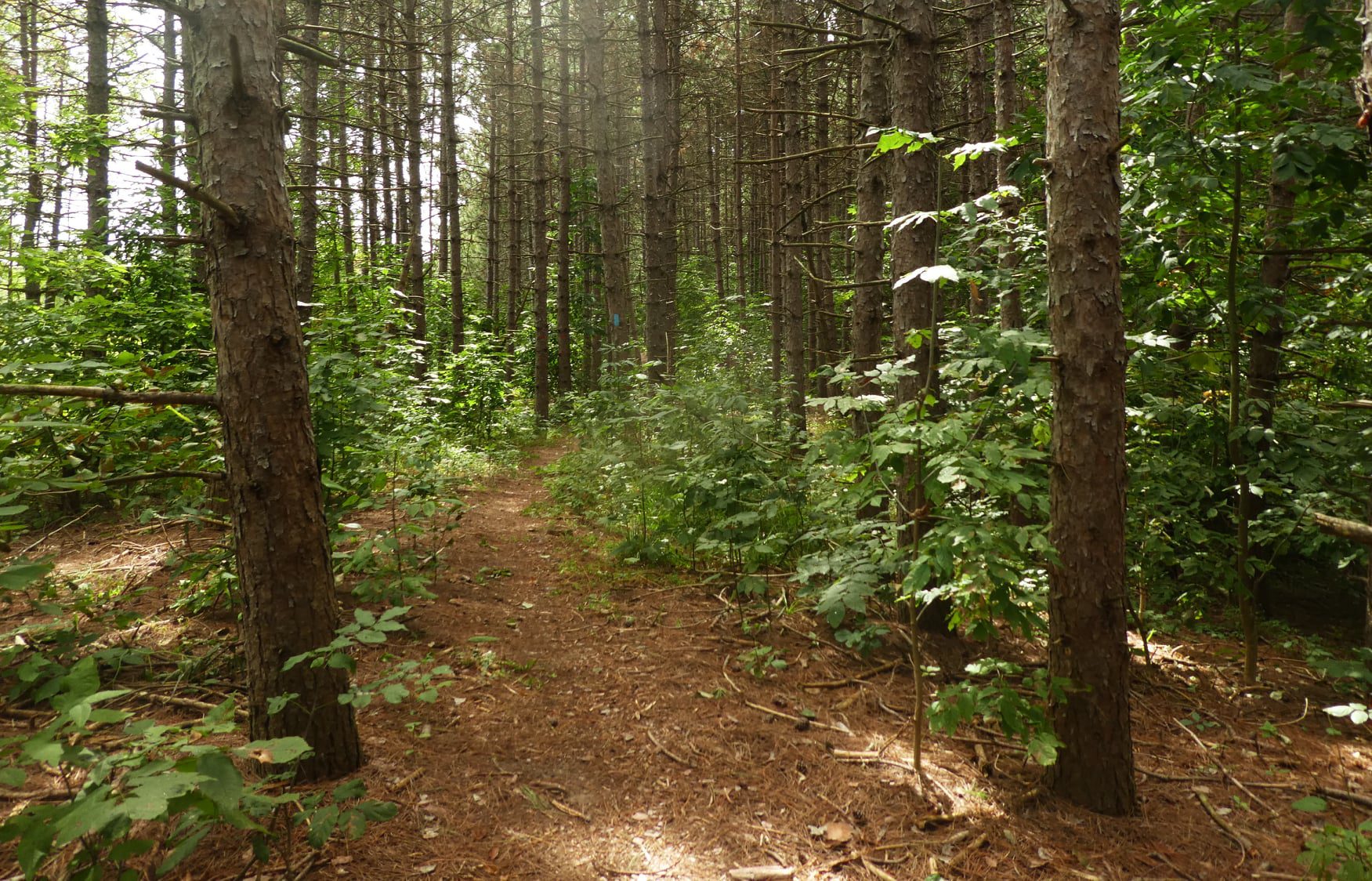
Meet at 9:15 am in the parking lot at the corner of 15 Side Rd and Prince of Wales Rd at Pine River. We will hike a few side trails and the main trail. There are a few hilly bits but it’s all worth it as we hike alongside the beautiful Pine River. We will also pass by the ruins of an old hydro plant. Bring sufficient water, a snack as needed, and bug spray/bug net.
BTC: First Steps (New Hiker Intro)
https://hikes.brucetrail.org/event/btc-first-steps-new-hiker-intro/Sorry, the registration cut-off time for this hike has been reached.Not a member? Click here to join today!Hosting Club: Iroquoia
Category: Passport to Nature
Location (Google Maps): The Hub @ Burlington Centre
www.burlingtoncentre.ca/the-hubHike Leader(s): Joe Borges Click here to contact Hike Leader(s)
Distance: 0
Description
BTC PASSPORT TO NATURE: FIRST STEPS (NEW HIKER INTRO)An indoor educational workshop designed for absolute hiking newcomers, covering essentials like gear, packing, safety, tips and how to get started.
Perfect for those new to hiking, this drop-in workshop demystifies getting started on the Bruce Trail. Topics include proper footwear, using trekking poles, what to pack and wear, trail etiquette, navigation basics, and safety tips, BTC App + Guide—all led by experienced Iroquoia volunteers.
At the event you will receive a sticker for your Passport: Collect 4 stickers and get a badge, collect 9 different colour stickers and receive a BTC store gift card.
Host: Iroquoia Bruce Trail Club Hike Program
Location: The Hub @ Burlington Centre (burlingtoncentre.ca/the-hub)
Timing: Saturday, August 29 / Drop-In 11:00 a.m.–3:00 p.m.
Summer Social - Welland Jackfish Baseball Game
https://hikes.brucetrail.org/event/summer-social-welland-jackfish-baseball-game/Sorry, the registration cut-off time for this hike has been reached.Not a member? Click here to join today!Hike open to BTC Members only.
Hosting Club: Niagara
Category: Register
Location (Google Maps): Welland Jackfish Baseball Stadium, 90 Quaker Road, Welland, ONHike Leader(s): Kristin Hanson Click here to contact Hike Leader(s)
Distance: 0
Description
Niagara Bruce Trail Club Social Event – Canadian Baseball League Summer OutingWelland Jackfish vs the Toronto Maple Leafs
Sat, Aug 29, 6:05pm game time; gates open 60 minutes prior (Parking is free at the stadium)
Join fellow NBTC members to cheer on the Welland Jackfish in their final regular-season home game. The team proudly calls itself Niagara’s Greatest Show—and for good reason. Welland Stadium offers an excellent view of the field, lively entertainment, and high-quality baseball. Known affectionately as “The Pond,” the stadium is home to the passionate FINatics fan base. NBTC has reserved the Newark Brewing Barge so our group can enjoy the game together. The Barge Experience includes:
Two drinks (beer or soft drink)
One hot dog and a pizza slice
UNLIMITED popcorn
UNLIMITED water
Game Ticket
Jackfish Hat
Wait Service (never leave your seat!)
In the event of rain, over 40% of the Pavilion is covered so we can continue to cheer on the game undercoverTickets are $50 per 19+ adult, $40 for each person under 19
Newark Brewing Barge – Welland Jackfish Baseball Niagara’s Greatest Show!
Sign up on the hike calendar and e-transfer the funds for your ticket(s) to: treasurer@niagara.brucetrail.org. Mention Jackfish Game in your etransfer. E-transfers must be completed before end of day August 14. Limited spots available – first to complete their etransfer will get the seats – don’t delay!
Who are the Jackfish? If you’ve never experienced a game, come out to The Pond and get in on the fun. The Welland Jackfish are one of nine members of the Canadian Baseball League (CBL). The Intercounty Baseball League is an elite summer baseball league that provides a place for the best local players in Ontario to spend their summers and display their talents. Many players hold professional baseball experience including MLB, and MiLB or current NCAA Division I playing experience. They play 36 games, playing with wood bats, and traveling around Ontario on charter buses.