
The BTC office will be closed on Mon. Oct. 12 for the holiday. Thank you for your understanding.
Hike Schedule
Join us for a hike! Registration required.
All hikes available to BTC members. Some hikes are open to non-members.
See Refund Policy for Paid Hikes >
TIP: The calendar view displays up to 7 hikes on a day, but often there are more. Click “View more events” to see them all.
Niagara
Iroquoia
Toronto
Caledon Hills
Dufferin Hi-Land
Blue Mountains
Beaver Valley
Sydenham
Peninsula
All Clubs
Show Filters
Categories
Reset Filters
- 30August 30, 2026
Toronto E2E In 3 Hikes #3
https://hikes.brucetrail.org/event/toronto-e2e-in-3-hikes-3/Sorry, the registration cut-off time for this hike has been reached.Not a member? Click here to join today!Hosting Club: Caledon Hills
Category: End-to-End
Location (Google Maps): Roadside parking – km 17.4 on the east side of the road where the trail crosses 4th Line.Hike Leader(s): Daniel Patterson Click here to contact Hike Leader(s)
Pace: Medium – 3 to 4 km/hour
Terrain: Strenuous – hilly with steep climbs and some poor footing
Distance: 17.4 kmDescription
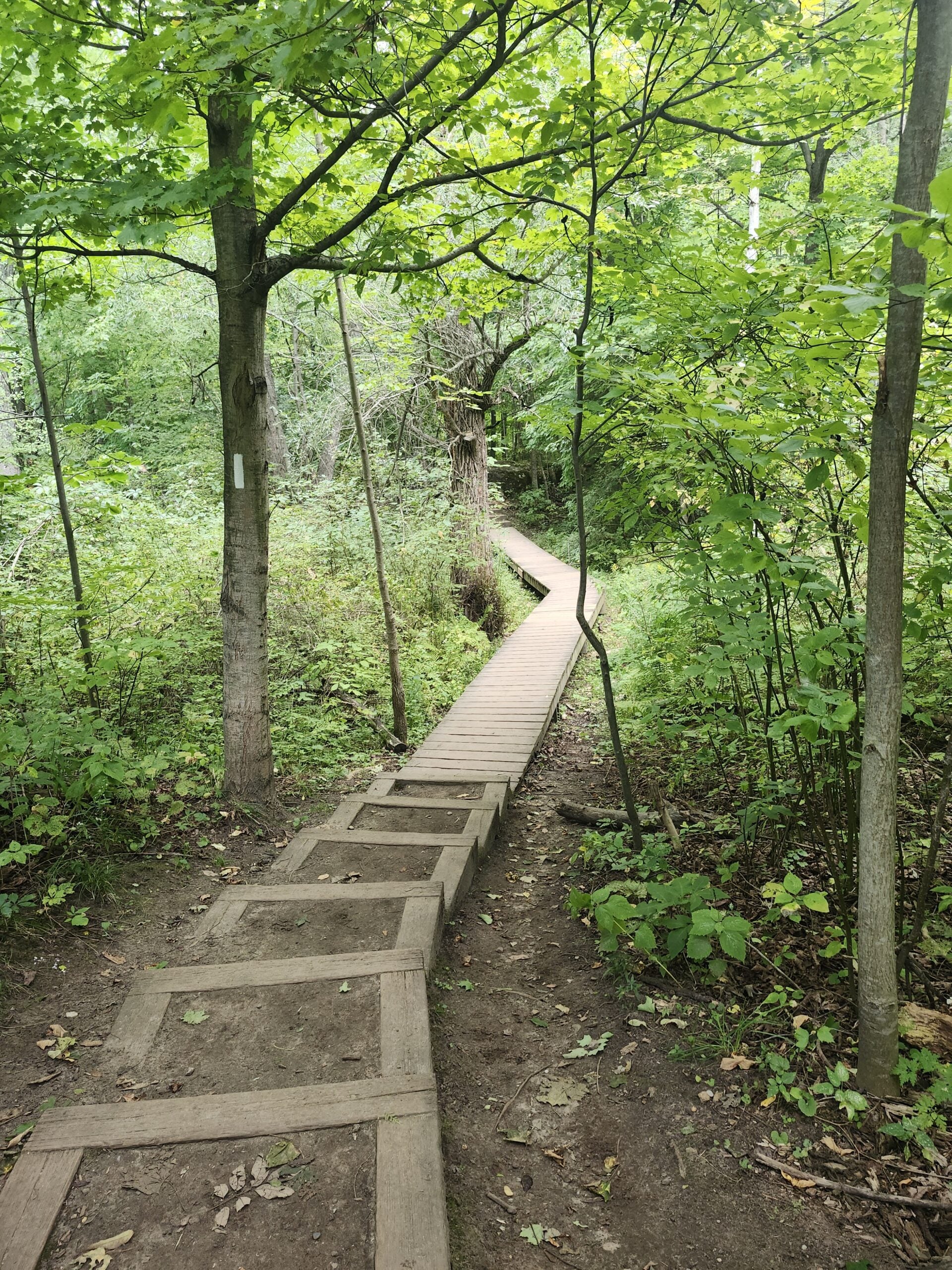
Welcome to the Toronto Section E2E in 3 hikes, hike #3. We will meet at 4th Line north of 17 Side Road, where the trail crosses. Do not park in front of the junk yard. We will shuttle to Hilton Falls to begin our hike. Be prepared to participate in shuttling and returning shuttle drivers to their cars. Hiking shoes or boots are required. Poles are helpful in uneven terrain. Bring at least 2L of water, a raincoat, sun hat, bug spray, sun block. Long sleeves and long pants are highly recommended due to poison ivy and ticks. Pack a lunch and a few snacks. Be advised the trail continues beyond Hilton Falls to the 401. We will walk to the Toronto/Iroquoia boundary to qualify for our badges.Car Hike: Jefferson Forest/Bond Lake
https://hikes.brucetrail.org/event/car-hike-jefferson-forest-bond-lake-11/Sorry, the registration cut-off time for this hike has been reached.Not a member? Click here to join today!Hosting Club: Toronto
Category: Car Hike
Location (Google Maps):1245 Bethesda Side Rd, Richmond Hill, ON L4E 1A2 ( Bethesda Trail Head Parking lot)
Hike Leader(s): Amir Alemohammad Click here to contact Hike Leader(s)
Pace: Moderate (3-4 km/hr)
Terrain: Flat, Hilly, Level 2 (Intermediate – some hills and uneven surfaces, rocks and roots underfoot), Variable
Distance (km): 14-16KmDescription
Let’s roll the hills of the Jefferson Forest and around the Bond Lake. Every week we hike in Jefferson Forest, located in the heart of Richmond Hill, it boasts numerous hiking trails. This 4 hour hike can range from 14 to 15 kilometres, depending on the weather conditions. Remember to bring water, snacks, hiking boots (mandatory), poles, and your camera. Not recommended for beginners. Park in the free Bethesda parking lot and avoid parking along the road. Dress appropriately for the weather. Difficulty Level: 2 (Moderate).Please arrive @7:45AM for start of 8:00AM.
This is a joint hike with the Oak Ridges Trail Association (ORTA).
what3words:
https://w3w.co/twisting.mailer.awakes
Sunday Side Trails; Rush Cove and Pease Side Trails
https://hikes.brucetrail.org/event/sunday-side-trails-rush-cove-and-pease-side-trails/Sorry, the registration cut-off time for this hike has been reached.Not a member? Click here to join today!Hosting Club: Peninsula
Category: Peninsula Blue Series
Location (Google Maps): Bruce Trail Parking area near end of Scenic Caves RoadHike Leader(s): Jamie McDermid Click here to contact Hike Leader(s)
Pace: Medium (3.0 – 4.5 km/h): A comfortable pace for most hikers with steady progress.
Terrain: Moderate: Rolling hills, mild slopes and rocky paths.
Distance: 7.6 kmDescription
Peninsula BTC is offering a series of hikes covering all of the side trails on the Peninsula section of the Bruce Trail. These hikes are a great opportunity for those who want to do some hiking but don’t want to commit to a full end-to-end; for those who have completed an end-to-end and want to explore more of the beautiful trails on the Peninsula and for locals and visitors who want to get out on the trail on the weekend.The series will include 27 hikes on Sundays (and maybe the odd Saturday) over 2026 and 2027, covering more than 150 km of side trails or 78 trails! We will be offering hikes on a roughly biweekly basis, with hikes posted approximately two months in advance. The hikes will generally be loop hikes, although car shuttling may be required for a few hikes. Register for each hike individually, no need to commit to all 27 hikes!
For those who would like to earn the Peninsula Side Trails Badge, these hikes provide a chance to join a group for some or all of the side trail hikes.
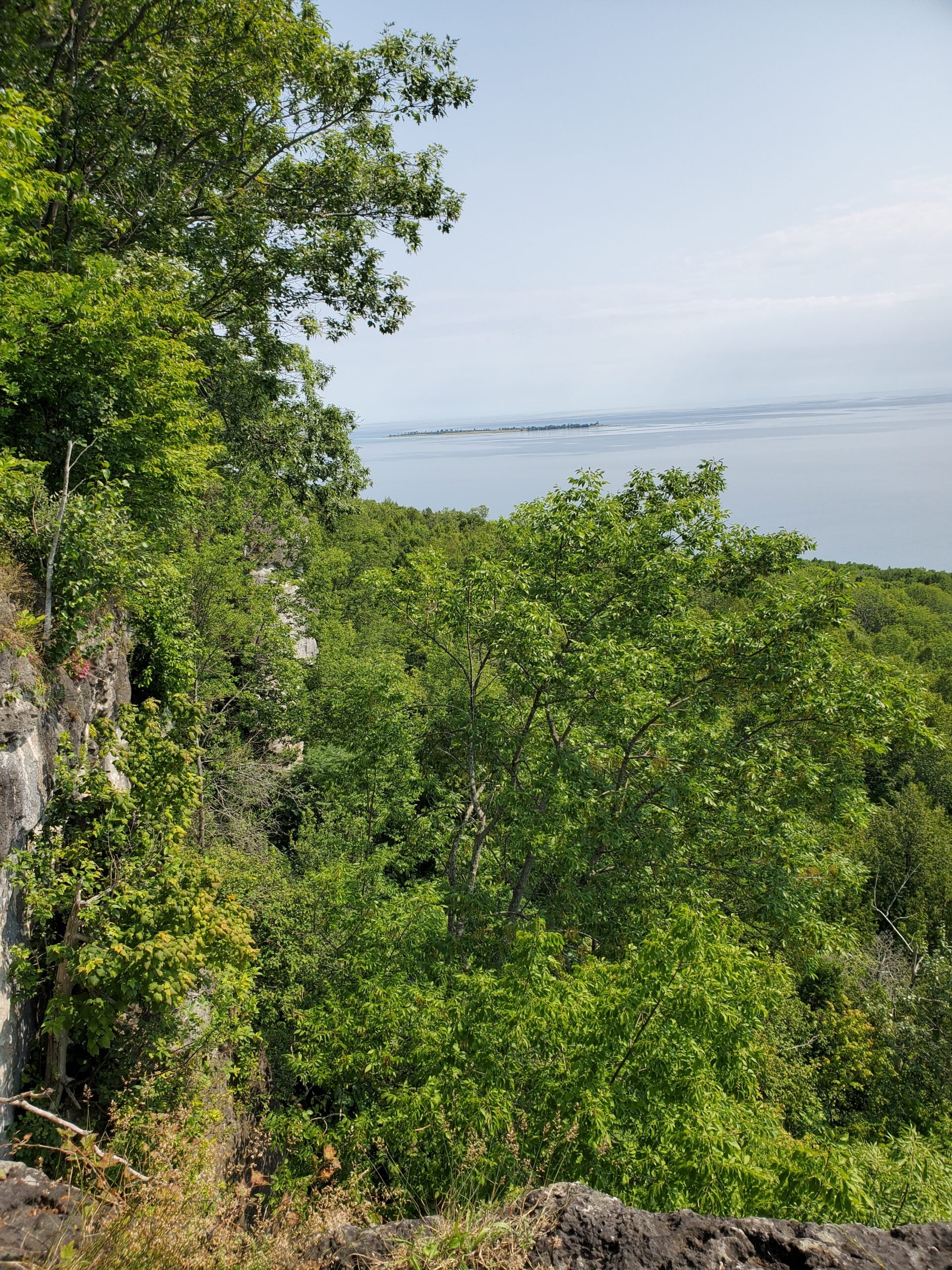
This hike includes the Pease and Rush Cove Side Trails. This is a very pretty hike with a wetland, caves, crevices, a beach and a lookout.
Hikers should be prepared for the weather, possible wet trails and insects. Bring a lunch, water and snacks. Hike leader will contact registered hikers one week before the hike.
If you would like to be notified when the side trail hikes are posted, go to the bottom of the Hikes page on the PBTC website to sign-up for hike notifications.
Urban Walk: Waterfront Trail 6/11 – Lakeshore East
https://hikes.brucetrail.org/event/urban-walk-waterfront-trail-6-11-lakeshore-east-4/Sorry, the registration cut-off time for this hike has been reached.Not a member? Click here to join today!Hosting Club: Toronto
Category: Urban Walk
Location (Google Maps):Toronto, Ontario, Canada
Hike Leader(s): Brian Rideout Click here to contact Hike Leader(s)
Pace: Moderate (3-4 km/hr)
Terrain: Flat
Distance (km): 10.9 kmDescription
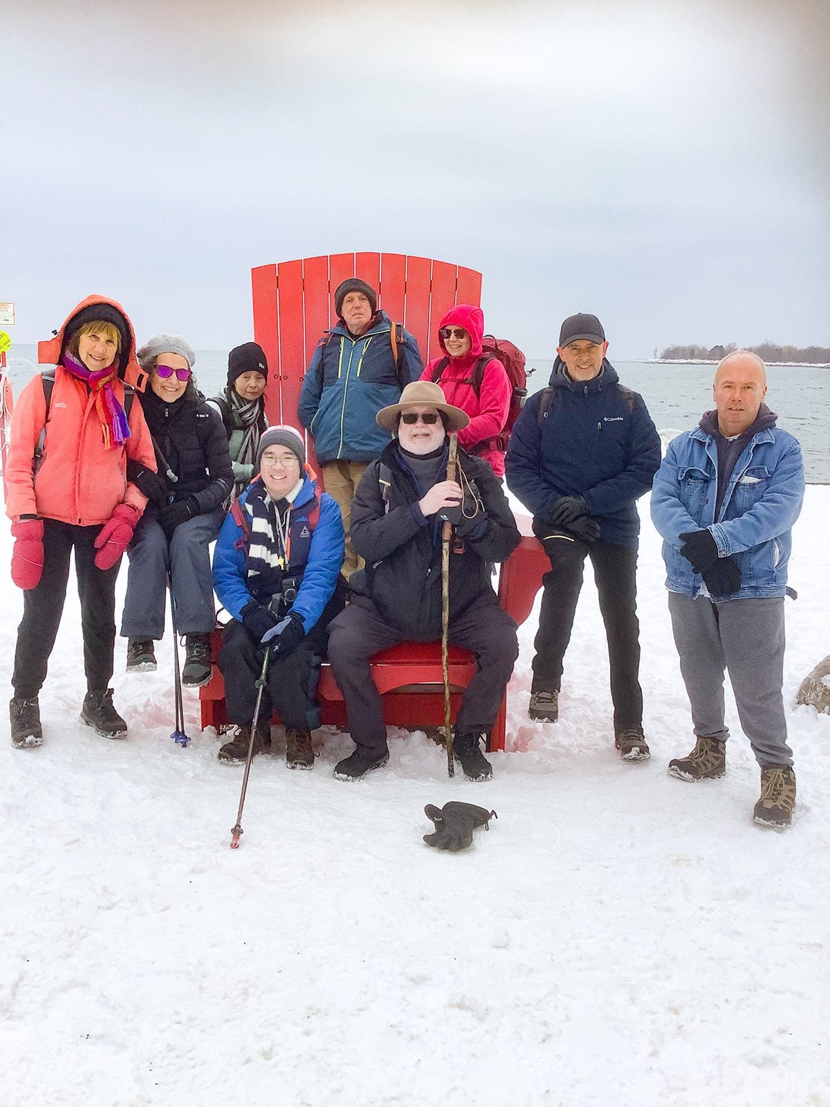
Please join me at the Tim Horton’s at Lakeshore and Leslie no later than 9:50 am. We start hiking at 10:00 am.We will hike east on Lakeshore, along the Beaches Boardwalk, and on Kingston Rd to Brimley Rd. The estimated distance is 10.9 km. Here is an online map of our route Lakeshore to Brimley Rd
Bring a snack, at least 2 liters of water, bug spray and sunscreen.
- 31August 31, 2026
Trailside Yin & Yang Yoga: Release, Restore and Flow
https://hikes.brucetrail.org/event/trailside-yin-yang-yoga-release-restore-and-flow-2/Sorry, the registration cut-off time for this hike has been reached.Not a member? Click here to join today!This is a Multi-Day Hike
You are signing up for the following dates:
2026-08-31, 2026-09-07, 2026-09-14, 2026-09-21, 2026-09-28Hosting Club: Peninsula
Category: Event
Location (Google Maps): Loving Yoga Studio at Tagwerk Farm, 418 Cape Chin Road North, Lion’s Head, ONHike Leader(s): Barbara von der Heide and Marg Glendon Click here to contact Hike Leader(s)
Distance: 0
Description
Start your day feeling refreshed and energized with a balanced Yin & Yang yoga class.Whether you’ve spent the weekend hiking, biking, kayaking, or simply watching the clouds drift by, gentle movement and mindful stretching will help restore and rejuvenate your body.
This is a series of 5 Monday morning classes, and suitable for all bodies and experience levels—no previous yoga experience is required.
We use meditation and breathwork as our foundation to initiate our practice and follow with passive yin stretches. Yin yoga mainly targets the spine, hips and legs. It is a calm practice while being in a seated position on the mat or lying on the floor. Drawing on specialized training, Barbara also integrates the placement of Yoga Tune Up balls for myofascial release (MFR), helping to loosen tightness in your tissues and improve mobility, much like a massage!
Transitioning from passive yin to more dynamic yang we then balance the energy in our bodies with gentle flowing sequences.
Barbara emphasizes the functional approach to yoga, taking into consideration that every body is different. It is the unique individual build of each body that defines how a yoga pose is executed.
It is not about how one looks in a yoga pose and all about how one feels. Your body thinks in “feels”. Practicing yoga increases body awareness and enhances proprioception, which is your ability to sense how you move through space. This in return helps to reduce the risk of falls and injuries.
All props will be provided. It is recommended to bring your own mat and Yoga Tune Up balls if you have them.
A portion of each registration fee will be donated to Bruce Trail Conservancy for conservation work on the Saugeen Peninsula.
Easy Does It Hike, Harold Black Park, Fonthill
https://hikes.brucetrail.org/event/easy-does-it-hike-harold-black-park-fonthill/Sorry, the registration cut-off time for this hike has been reached.Not a member? Click here to join today!Hosting Club: Niagara
Category: Leisurely
Location (Google Maps): 953 Haist St. Fonthill, OnHike Leader(s): Diane Marlatt Click here to contact Hike Leader(s)
Pace: Leisurely <3 km/hr
Distance: 6K
Description
Tai Chi and hike
https://hikes.brucetrail.org/event/tai-chi-and-hike/Sorry, the registration cut-off time for this hike has been reached.Not a member? Click here to join today!Hosting Club: Niagara
Category: Mindfulness
Location (Google Maps): Park near the maintenance shed in Queenston Heights Park, Niagara Parkway, Queenston. Paid parking fee.Hike Leader(s): Margaret Northfield Click here to contact Hike Leader(s)
Pace: Medium 3- 4 km/hr
Terrain: Easy: mostly flat, good footing, Moderate: some hills and some poor footing
Distance: 5-6kmDescription
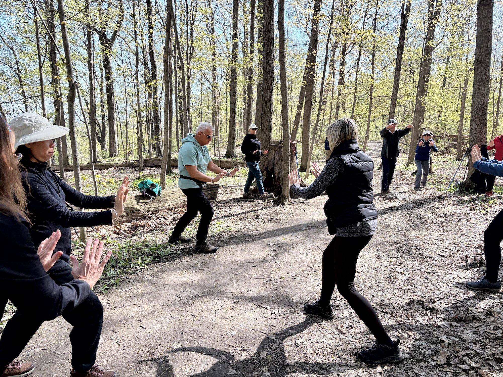
Seeking balance, calm and strength without high impact exercise? Join us for a short hike. Tai Chi Master Mike Van Natter will instruct us on the benefits of Tai Chi as well as lead us through several Tai Chi movements along the way.CANCELLED - Afternoon Hike - Crawford Lake (reservation required)
https://hikes.brucetrail.org/event/afternoon-hike-crawford-lake-reservation-required-3/Sorry, the registration cut-off time for this hike has been reached.Not a member? Click here to join today!Hosting Club: Iroquoia
Category: Afternoon/Evening Hikes
Location (Google Maps): Meet at 4:15 pm in the first parking lot at Crawford Lake.Hike Leader(s): Karen Bergmann Click here to contact Hike Leader(s)
Pace: Medium – 3 to 4 km/hr
Terrain: Moderate – Some hills and/or some poor footing
Distance: 5 kmsDescription
We will hike the loop around the park, which includes both side trails and main trail. And if the new boardwalk is finished, we’ll hike around the lake.Bring sufficient water and bug spray/bug net.
- 01September 1, 2026
Long Hike Short Hills, Wiley Rd.
https://hikes.brucetrail.org/event/long-hike-short-hills-wiley-rd/Sorry, the registration cut-off time for this hike has been reached.Not a member? Click here to join today!Hosting Club: Niagara
Category: In and Out
Location (Google Maps): Short Hills, Wiley Rd.Hike Leader(s): Vince Zvonar Click here to contact Hike Leader(s)
Pace: Medium 3- 4 km/hr
Terrain: Moderate: some hills and some poor footing
Distance: 10Description
Long Hike CHANGE LOCATION Decew House Thorold
https://hikes.brucetrail.org/event/long-hike-short-hills-9/Sorry, the registration cut-off time for this hike has been reached.Not a member? Click here to join today!Hosting Club: Niagara
Location (Google Maps): Decew House Thorold
Hike Leader(s): Alan Laver Click here to contact Hike Leader(s)
Pace: Brisk 4-5 km/hr
Terrain: Moderate: some hills and some poor footing
Distance: 10k+Description
Our regular Spot for the Tuesday Long Hike. Note the new location. We will hike the trails around Short Hills Dress for the weather and bring sunscreen bug spray, poles snack and drink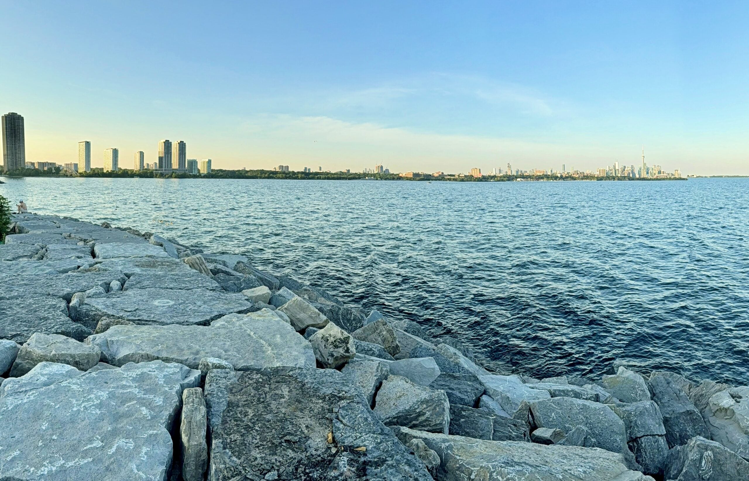
Urban Walk: High Park to Humber Bay Park
https://hikes.brucetrail.org/event/urban-walk-high-park-to-humber-bay-park/Sorry, the registration cut-off time for this hike has been reached.Not a member? Click here to join today!Hosting Club: Toronto
Category: Urban Walk
Location (Google Maps): High Park North Gates (Bloor Street West at High Park Avenue). This is a 5 minute walk from High Park Subway Station.Hike Leader(s): Ted Moriarty Click here to contact Hike Leader(s)
Pace: Moderate (3-4 km/hr)
Terrain: Level 1 (Easy – mostly on flat, well maintained trails with hard-packed surface)
Distance (km): 8Description
Please join me as we explore three of west Toronto’s most scenic green spaces. We will begin by walking through High Park. While there we’ll visit the High Park Labyrinth and visit historic Colborne Lodge. From here we’ll make our way down to the Martin Goodman Trail and walk west along the boardwalk to Humber Bay Park. We’ll follow the Humber Bay park trails south to Lake Ontario and enjoy a view of the Toronto skyline and surrounding lakefront. The hike will conclude at Palace Pier Park – a 10 minute bus ride to Old Mill Subway Station.Route map:
https://onthegomap.com/?route=019f90fc-4fc0-74e2-9fc2-76444fe1e528&context=share
Please bring snacks and at least 2L of drinking water.
Washrooms:
There are no washrooms at High Park Station. During the 9k hike we will stop at three public washrooms located at kilometres 1, 3 and 5.
Après-hike:
There will be an optional après-hike stop at Firkin on the Bay (68 Marine Parade Drive).
9:15 Short Hike, Rockway Conservation Area, 2021 Pelham Rd, Lincoln
https://hikes.brucetrail.org/event/915-short-hike-rockway-conservation-area-2021-pelham-rd-lincoln/Sorry, the registration cut-off time for this hike has been reached.Not a member? Click here to join today!Hosting Club: Niagara
Category: Hike
Location (Google Maps): Rockway Conservation Area, 2021 Pelham Rd, Lincoln, ONHike Leader(s): Debbie Demizio Click here to contact Hike Leader(s)
Pace: Medium 3- 4 km/hr
Terrain: Moderate: some hills and some poor footing
Distance: 6 kmsDescription
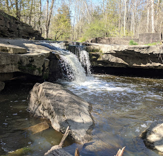
Hike around 15 Mile Creek, featuring Upper and Lower Rockway Falls. Please bring water, insect repellent, sunscreen and hiking poles. Check yourself thoroughly for ticks following the hike.Waterdown, Smokey Hollow, Great Falls and Grindstone Creek
https://hikes.brucetrail.org/event/waterdown-smokey-hollow-great-falls-and-grindstone-creek/Sorry, the registration cut-off time for this hike has been reached.Not a member? Click here to join today!Hosting Club: Caledon Hills
Category: Tuesday Hikers
Location (Google Maps): Parking Lot at City View Park off of Kerns Rd.Hike Leader(s): Ralph Shapiro Click here to contact Hike Leader(s)
Pace: Medium – 3 to 4 km/hour
Terrain: Moderate – some hills and/or some poor footing
Distance: 10 kmDescription
From City View parking we will hike to Smokey Hollow and the Great Falls. We’ll break at the Falls for a rest and/or optional hike down Grindstone Creek.Mono Cliffs: Trails & Tales
https://hikes.brucetrail.org/event/mono-cliffs-trails-tales/Sorry, the registration cut-off time for this hike has been reached.Not a member? Click here to join today!Hosting Club: Dufferin Hi-Land
Category: General Hike
Location (Google Maps): Mono Community Centre parking lot, 754483 Mono Centre Road, Mono, ONHike Leader(s): Suzette Daley Click here to contact Hike Leader(s)
Pace: Medium
Terrain: Moderate
Distance: 9kmDescription
Mono Cliffs: Trails & TalesJoin us for Mono Cliffs: Trails & Tales, an approximately 9 km, 3-hour hike through the beautiful trails of Mono Cliffs Provincial Park.
We will meet at the Mono Community Centre parking lot, 754483 Mono Centre Road, Mono, ON, and hike into Mono Cliffs Provincial Park before returning to our starting point.
Distance: Approximately 9 km
Duration: Approximately 3 hours
Pace: Moderate
Terrain: Moderate, with hills, some rocky sections and uneven footingAlong the way, we will travel through beautiful forested sections and the Niagara Escarpment landscape, stopping briefly at points of interest to enjoy the surroundings and share a few interesting facts and stories about the area.
Please ensure that you are comfortable hiking approximately 9 km over varied terrain before registering.
How to Prepare
• Get a good night’s sleep and come ready for approximately 3 hours of hiking.
• Bring plenty of water. 1–2 litres per person is recommended.
• Bring a snack or light food for the hike. Bring your medication if needed.
• Wear sturdy hiking shoes or hiking boots with good traction. Waterproof footwear is recommended if trail conditions are damp.
• Hiking poles are recommended but not required, particularly for hills and uneven sections.
• Bring insect repellent or wear protective clothing.
• Bring sunscreen and consider a hat for sun protection.
• Dress appropriately for the weather and consider bringing an extra layer.
• Please arrive 15 minutes before the scheduled start time to allow time for check-in. We will depart promptly.
Weather
The hike may be cancelled or rescheduled in the event of rain or other unsafe weather or trail conditions. Registered hikers will be notified of any changes.
LIMITED SPACE AVAILABLE!
Come ready to move, explore and enjoy an end-of-summer adventure as we discover the trails and tales of Mono Cliffs!
Valley View Park479
https://hikes.brucetrail.org/event/car-hike-valley-view-huntington-park/Sorry, the registration cut-off time for this hike has been reached.Not a member? Click here to join today!Hosting Club: Toronto
Location (Google Maps): Parking lot is off Sycamore Drive, East of Bayview , across Starbucks plaza
Bus 91 from Finch East station stops at Sycamore station.Hike Leader(s): Mohammad Aghamiri
Pace: Moderate (3-4 km/hr)
Terrain: Hilly, Level 2 (Intermediate – some hills and uneven surfaces, rocks and roots underfoot)
Distance (km): 6-7 kmDescription
We will explore Valleyview and Maple View parks, and walk along German Mills Creek, in return we stop in Huntington park and have snack under beautiful shed.Although this is considered an “Urban Walk”, you can expect some hills up and down and uneven surfaces with tree roots. Please bring hiking poles, water and snacks.
Rock Hill/Oliver Creek Loop
https://hikes.brucetrail.org/event/rock-hill-oliver-creek-loop-2/Sorry, the registration cut-off time for this hike has been reached.Not a member? Click here to join today!Hosting Club: Dufferin Hi-Land
Category: Tuesday Hike
Location (Google Maps): Dufferin Hi-Land, Map 20. Meet at Rock Hill parking lot on 1st Line Mulmur, just south of 10 Sideroad (Km 29.4).Hike Leader(s): Tony Evangelista, Les Babbage, Inge Eckerich, Julie Daley Click here to contact Hike Leader(s)
Pace: Leisurely
Terrain: Moderate
Distance: 7.0 km; Short Hike: 2.4 kmDescription
We will hike the Main Trail, returning by way of the Oliver Creek and Moss Haven Side Trails. The short hike will return to parking from just past the top of the Enchanted Forest Side Trail, before the Main Trail descends into the Boyne Valley. Bring water and snacks. Hiking poles are recommended.Walk In Nature Series (WINS) - Sydenham Nature Reserve loop side trail trail
https://hikes.brucetrail.org/event/walk-in-nature-series-wins-sydenham-nature-reserve-loop-side-trail-trail-2/Sorry, the registration cut-off time for this hike has been reached.Not a member? Click here to join today!Hosting Club: Sydenham
Category: Walk In Nature Series (WINS)
Location (Google Maps):103038 Grey Rd 18, 400 metres east of Rockford in an off-road parking lot beside the rail trail
Hike Leader(s): Stewart Brown Click here to contact Hike Leader(s)
Pace: Medium: 3 to 4 km/h
Terrain: Moderate: Some hills and/or poor footing
Distance: 4 kmDescription
The Walk In Nature Series (WINS) consists of short loop hikes in the Sydenham section of the Bruce Trail that combine nature appreciation with fitness in a safe and welcoming group environment led by an experienced hike leader. Medium paced WINS hikes are open to all ages and levels of hiking experience whether members or non-members of the Bruce Trail Conservancy (BTC)On this hike we will walk a 4 km loop with a medium pace on the interesting side trail, Sydenham Nature Reserve and the access along the rail trail, the Keeling side trail. It is quite level with some rocky sections.
Dress in layers, bring water, a snack, personal medication and supplies. Hiking poles are not required by are always welcome. Arrive 10 min before the hike start time.
This hike is the final evening WINS hike of the summer. This fall, WINS hikes will be during the day on Tuesdays.
Thanks and see you soon.
- 02September 2, 2026
WEDNESDAY WALKERS - Young Wetland
https://hikes.brucetrail.org/event/wednesday-walkers-young-wetland-4/Sorry, the registration cut-off time for this hike has been reached.Not a member? Click here to join today!Hosting Club: Beaver Valley
Location (Google Maps): Park in the parking lot at the Epping John Muir Lookout near km 94.3, Map 27, Edition 31
Hike Leader(s): Margaret Yaraskavitch Click here to contact the hike leader.
Pace: Medium
Terrain: Easy
Length of Hike: 4 kmsDescription
This hike is a there-and-back walk. We begin on the edge of the Beaver Valley and then head towards a beaver pond. A walk along the edge of fields takes us into a wood lot, then to the Young Wetland. Birds are often sighted on the water. From there, we stroll the rest of the BTC-managed Young property to Sideroad 19, seeing fields regenerating towards a natural state. We walk back to the parking area, where we can enjoy a panoramic view into the Beaver Valley.Guidelines
- Arrive 15 minutes before the start of the hike.
- Wear sturdy footwear and appropriate attire for the weather and the terrain.
Hiking poles are a good idea in any season, especially if the terrain is rocky or slippery. In winter, snowshoes or icers/crampons are needed when conditions dictate.
Wearing appropriate clothing and footwear prevents injuries and shows consideration for a safe and positive group hiking experience. - Always carry I.D. and your health card.
- Bring sufficient water and snacks (or lunch if indicated). A minimum of 1L of water is recommended on all hikes, and 3L is recommended for long, challenging hikes in the heat of the summer.
- Bring sunscreen and insect repellent (for spring and summer hikes).
- Bring your own first aid kit.
- Please leave dogs at home.
Evening Hike in Owen Sound followed by an Opportunity for Refreshments
https://hikes.brucetrail.org/event/evening-hike-in-owen-sound-followed-by-an-opportunity-for-refreshments-24/Sorry, the registration cut-off time for this hike has been reached.Not a member? Click here to join today!Hosting Club: Sydenham
Category: An evening walk.
Location (Google Maps): Meet in the municipal parking lot by the river on the West side of first Ave East between 7th Ave East and 8th Ave East in Owen Sound.Hike Leader(s): Harriet Nixon Click here to contact Hike Leader(s)
Pace: Brisk: 4 to 5 km/h
Terrain: Moderate: Some hills and/or poor footing
Distance: Approx 5 kmDescription
Join us for a brisk evening hike exploring Owen Sound paths and neighbourhoods, followed by an opportunity for refreshments. There is no need to show up 15 minutes early for this hike, but we will leave promptly at 7:00 pm. - 03September 3, 2026
8:00 am Long hike NEW Location. Bailey bridge Jordan
https://hikes.brucetrail.org/event/800-am-long-hike-new-location-bailey-bridge-jordan-10/Sorry, the registration cut-off time for this hike has been reached.Not a member? Click here to join today!Hosting Club: Niagara
Location (Google Maps):
Bailey bridge Jordan
Hike Leader(s): Alan Laver Click here to contact Hike Leader(s)
Pace: Brisk 4-5 km/hr
Terrain: Strenuous: hilly, with steep climbs, poor footing
Distance: ~10kDescription
This will be our permanent location . Hike up from the Bailey bridge to Balls Falls and explore the trailsYou must register for each hike. Bring Poles, snack and a drink. Dress for the weather
Hiking around Jordan
https://hikes.brucetrail.org/event/hiking-around-jordan-70/Sorry, the registration cut-off time for this hike has been reached.Not a member? Click here to join today!Hosting Club: Niagara
Category: Loop
Location (Google Maps): Sho’aríshon Park, JordanHike Leader(s): Bill Russell Click here to contact Hike Leader(s)
Pace: Medium 3- 4 km/hr
Terrain: Moderate: some hills and some poor footing
Distance: 6 kmsDescription
Hiking in and around Jordan, Rainforth Trail and Balls Falls, alternating every 3 weeks.Toronto Fall Series Hike 1 of 9
https://hikes.brucetrail.org/event/toronto-fall-series-hike-1-of-9/Sorry, the registration cut-off time for this hike has been reached.Not a member? Click here to join today!Hosting Club: Caledon Hills
Category: End-to-End
Location (Google Maps): Meet at Boston Mills Road parking. Map 14, southwest of km 48.4Hike Leader(s): Nancy Mooney Click here to contact Hike Leader(s)
Pace: Medium – 3 to 4 km/hour
Terrain: Easy – mostly flat and usually good footing, Moderate – some hills and/or some poor footing
Distance: 13.5 km loopDescription
This is the first hike of a Toronto End-to-End Series that will also include side trails. Most of the hikes in the series will be loops.This hike will take us along the main trail to the Rockside Side Trail then back to Boston Mills Road all the way to the Cheltenham Badlands before a post hike stop at the Spirit Tree Cidery.
Halton Agreement Forest
https://hikes.brucetrail.org/event/halton-agreement-forest-10/Sorry, the registration cut-off time for this hike has been reached.Not a member? Click here to join today!Hosting Club: Iroquoia
Category: General Hike
Location (Google Maps): Meet at the corner of 10 Side Road and 4th Line at 9:15 am.Hike Leader(s): Karen Bergmann Click here to contact Hike Leader(s)
Pace: Medium – 3 to 4 km/hr
Terrain: Moderate – Some hills and/or some poor footing
Distance: 8 kmsDescription
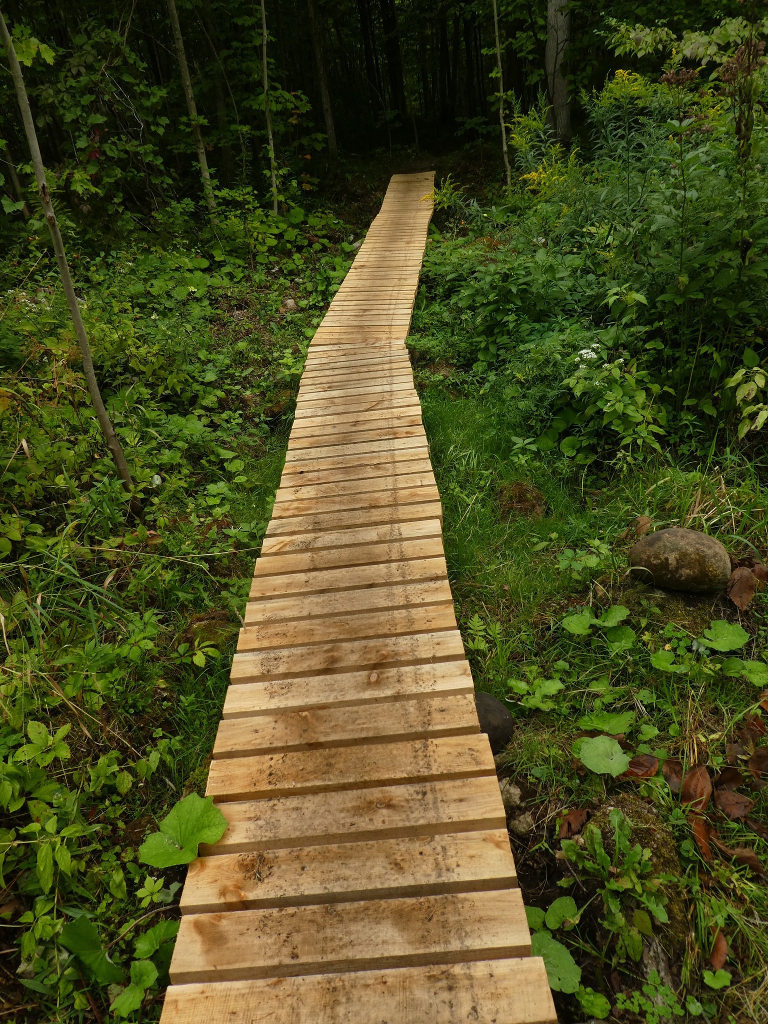
We will hike the bike trails around a big loop. Bring bug spray/bug net and plenty of water.Urban hike: Valley View Park Thornhill
https://hikes.brucetrail.org/event/urban-hike-valley-view-park-thornhill-15/Sorry, the registration cut-off time for this hike has been reached.Not a member? Click here to join today!Hosting Club: Toronto
Category: Urban Walk
Location (Google Maps): Parking lot is off Sycamore Drive, East of Bayview , across Starbucks plaza
Bus 91 from Finch East station stops at Sycamore station.Hike Leader(s): MOHAMMAD AGHAMIRI Click here to contact Hike Leader(s)
Pace: Moderate (3-4 km/hr)
Terrain: Hilly, Level 2 (Intermediate – some hills and uneven surfaces, rocks and roots underfoot)
Distance (km): 7-8 kmDescription
We will explore Valleyview and Maple View parks, and walk along German Mills Creek, in return we stop in Huntington park and have snack ,coffee,tea .Although this is considered an “Urban Walk”, you can expect some hills up and down and uneven surfaces with tree roots. Please bring hiking poles, water and snacks.
phone number for the day of hike 289 588 6482

Mystery Trails
https://hikes.brucetrail.org/event/mystery-trails/Sorry, the registration cut-off time for this hike has been reached.Not a member? Click here to join today!Hosting Club: Iroquoia
Category: General Hike
Location (Google Maps): City View Park, 2500 Kerns Rd. SOUTH Parking LotHike Leader(s): Anne Armstrong Click here to contact Hike Leader(s)
Pace: Leisurely – 3km/hr or less
Terrain: Easy – Mostly flat and usually good footing, Moderate – Some hills and/or some poor footing
Distance: Approx. 8-9 km.Description
Join us to explore the many trails between Watertown and Kerns Rd. We will use a combination of Main Bruce Trail, Blue Side Trails and former Bruce Trail as well as trails of use. Meet in the SOUTH parking lot at 9:45 am. for a 10:00 am. start. Bring water, a snack and sunscreen. Expect some rocky areas. I will send out an email the day before with my contact details in the event you need to cancel in the morning.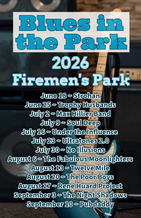
Hike, followed by Blues in the Park
https://hikes.brucetrail.org/event/hike-followed-by-blues-in-the-park-10/Sorry, the registration cut-off time for this hike has been reached.Not a member? Click here to join today!Hosting Club: Niagara
Category: Leisurely
Location (Google Maps):2275 Dorchester Rd, Niagara Falls, ON L2J 0H1
Hike Leader(s): Marion Hanover Click here to contact Hike Leader(s)
Pace: Leisurely <3 km/hr
Terrain: Moderate: some hills and some poor footing
Distance: 4kmDescription
Hike series Thursday evenings throughout the summer, followed by optional Blues in the Park. Come prepared to hike 1.5 leisure hike. Various blues bands free of charge starting at 7pm in the park. Bring lawn chair, beverage and snack to share. - 04September 4, 2026
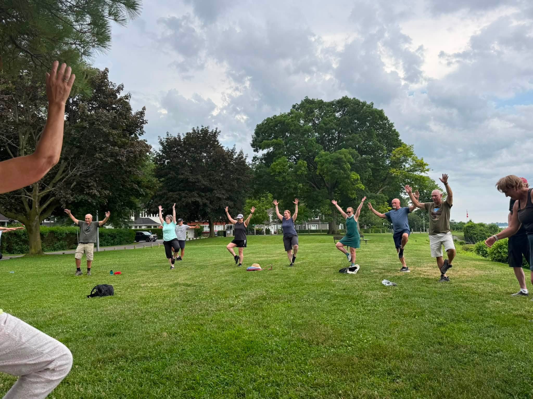
9:00 am Niagara on the Lake Tour & Some Yoga
https://hikes.brucetrail.org/event/900-am-niagara-on-the-lake-tour-some-yoga-30/Sorry, the registration cut-off time for this hike has been reached.Not a member? Click here to join today!Hike open to BTC Members only.
Hosting Club: Niagara
Category: Urban
Location (Google Maps):Veteran’s Memorial Park, park just outside the park on King St.
Hike Leader(s): Robin Garrett Click here to contact Hike Leader(s)
Pace: Leisurely <3 km/hr
Distance: 5 km
Description
Enjoy the benefits of pausing for a yoga practice as we tour through the trails, parkland and Historic Niagara-on-the-Lake. No mat required. Movement will focus on a flow of standing poses designed especially for hikers. Plan to stay for conversation and a warm cup of coffee or tea at Sweets & Swirls, Community Centre, Niagara Stone Road, NOTL. - 05September 5, 2026
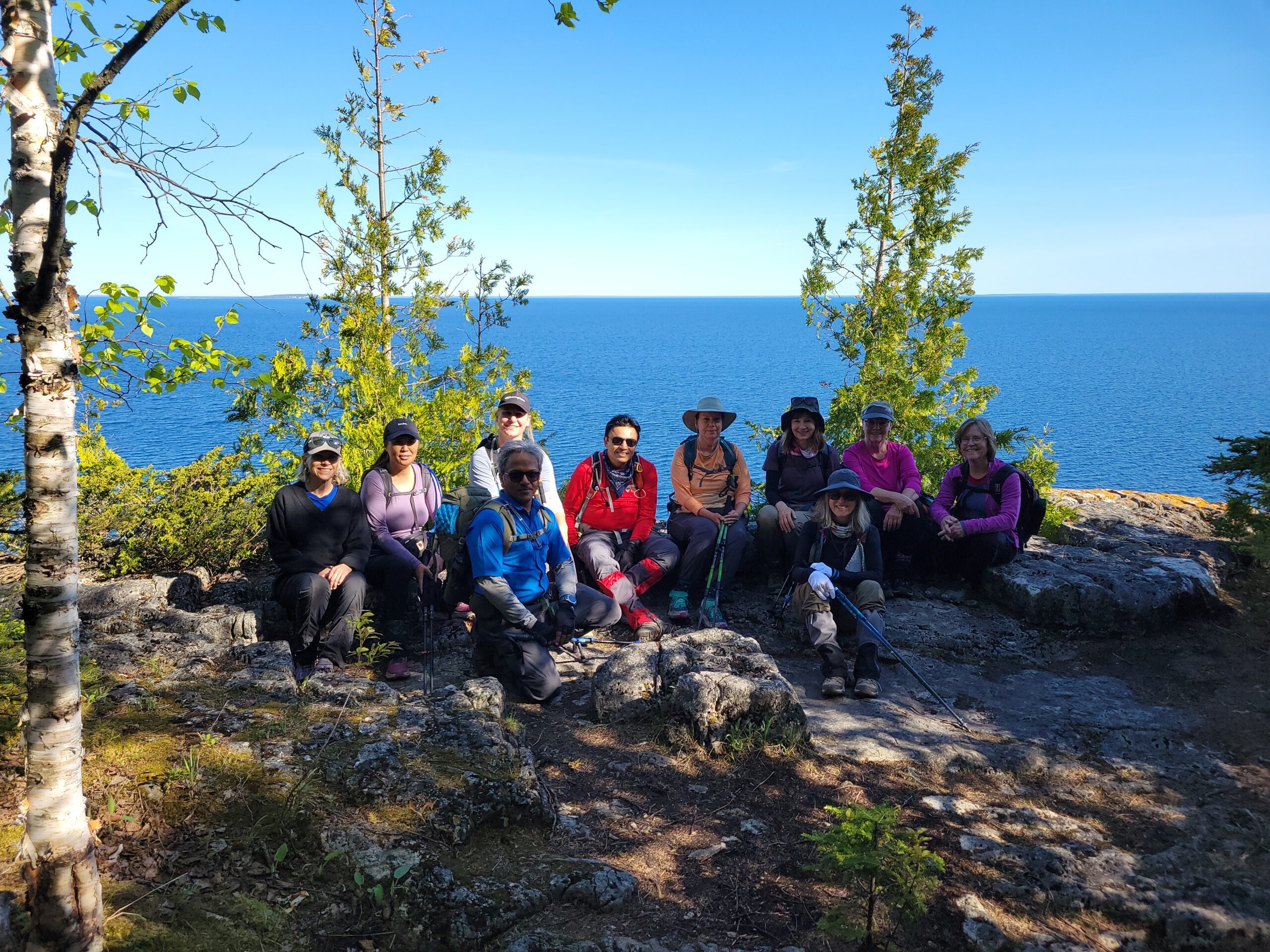
Peninsula End2End in 8 Series
https://hikes.brucetrail.org/event/peninsula-end2end-in-8-series-3/Sorry, the registration cut-off time for this hike has been reached.Not a member? Click here to join today!Hike open to BTC Members only.
This is a Multi-Day Hike
You are signing up for the following dates and times:
2026-09-05 at 07:00
2026-09-06 at 07:00
2026-09-12 at 07:00
2026-09-13 at 07:00
2026-09-19 at 07:00
2026-09-20 at 07:00
2026-10-17 at 07:00
2026-10-18 at 07:00Hosting Club: Peninsula
Category: Peninsula E2E
Location (Google Maps):Hike Leader(s): Saabir Sohrab Click here to contact Hike Leader(s)
Pace: Medium (3.0 – 4.5 km/h): A comfortable pace for most hikers with steady progress.
Terrain: Difficult: Steep ascents/descents, rocky scrambling, and some rugged escarpment paths., Moderate: Rolling hills, mild slopes and rocky paths.
Distance: Approx. ~166kmDescription
Peninsula E2Ein8Route: Wiarton to Tobermory (northbound)
Pace: Medium (target 3–4 km/h)
Terrain: Moderate to Difficult
Distance: ~166 km total
Daily Distances: 25.1 km ·19.2 km · 22.8 km · 21.5 km · 20 km · 11 km · 22.6 km · 23.6 km
Expectations: Expect 5–8 hours on the trail each day, depending on distance, terrain, weather, and group pace. The hike leader sets the pace, aiming for 3–4 km/h, and may adjust as needed for group ability and trail conditions. Breaks will be taken throughout the day.
For safety, participants must remain between the hike leader and the hike sweep at all times.
Meeting Time: 7:00 AM
Fees:
- Registration fee does not include Bruce Peninsula National Park entry fees, Cape Croker Park or MNBP parking fees
- Parking costs will be shared equally among participants.
- Badge fee included, with your choice of either the flowerpot badge or the stained glass (Turkey Vulture or Black Bear) badge.
- Fundraising: This hike is a fundraiser to support the Peninsula Bruce Trail Club’s volunteer-run hike program
Participant Requirements
- Intermediate/experienced hikers with good fitness
- Proper hiking boots, layered clothing, wet weather gear
- Hiking poles recommended
- Bring: Lunch, snacks, water, bug spray
Transportation & Accommodations
- Car shuttle: Participants rotate as drivers; vehicles must be passenger-ready
- Accommodations: Book early; options include motels, campgrounds, hostels, and B&Bs
Note: Dogs are not permitted.
Steeltown Stomp Practice Session #2 of 8
https://hikes.brucetrail.org/event/steeltown-stomp-practice-session-2-of-8/Sorry, the registration cut-off time for this hike has been reached.Not a member? Click here to join today!Hosting Club: Iroquoia
Category: Steeltown Stomp Practice Session
Location (Google Maps): Chedoke Golf Club Parking Lot – Access from Beddoe Dr off Studholm Rd south of Aberdeen (Parking capacity 40)Hike Leader(s): Muskan Sidana Click here to contact Hike Leader(s)
Pace: Brisk – 4 to 5 km/hr, Medium – 3 to 4 km/hr
Terrain: Strenuous – Hilly with steep climbs and some poor footing
Distance: VariesDescription
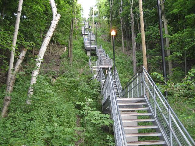
Is the Steeltown Stomp on your bucket list? This is your chance to crush it! Join us and prepare for this incredible challenge on October 3rd, 2026! Registration for the event is now open.If you’ve done stair climbs before, you know the deal—that brutal calf pain is real, especially when you’re just starting out. But training with us this summer? That’s how you show up on stomp day actually feeling strong instead of totally wrecked. Trust me.
We’ll start easy and build up as the summer goes on, hitting Chedoke and Dundurn Stairs with some scenic hikes mixed in. By the time October rolls around, you’ll have crushed at least 2,000 steps and you’ll actually know what you’re doing.
It’s a solid group vibe—moderate pace, warm-ups to get going, stretches to cool down. And honestly, it’s way more fun (and way less painful) doing this with people who get it.
Just grab your water bottle (there’s water at both staircases) and whatever snacks you want. And yeah, there’s optional coffee after if you want to hang out and celebrate.
We’ve got 7 training dates lined up this summer—check the schedule and pick the ones that work for you. Do the work now, own it on stomp day. See you out there!
Beaver Valley Geology Hikes Badge Series 2/8 Margaret Paull Side Trail
https://hikes.brucetrail.org/event/beaver-valley-geology-hikes-badge-series-2-8-margaret-paull-side-trail/Sorry, the registration cut-off time for this hike has been reached.Not a member? Click here to join today!Hosting Club: Blue Mountains
Category: Organized Hike
Location (Google Maps): Tim Horton’s, CollingwoodHike Leader(s): Annette Sandberg Click here to contact Hike Leader(s)
Pace: Leisurely – 3 km/hr. or less
Terrain: Easy – Mostly flat and usually good footing
Distance: 4.3 kmDescription
Flower ports are created by water that exploits cracks and eventually removes the material between the flowerpot and the main rock face. The water smooths and round the rock of the flowerpot. The flowerpots at Indian Brook were created several thousands of years ago when lake levels were significantly higher than they are today. Great Views of Georgian Bay and the Beaver Valley.
See Hike #1 – August 26 for series descriptionLouth Conservation
https://hikes.brucetrail.org/event/louth-conservation-3/Sorry, the registration cut-off time for this hike has been reached.Not a member? Click here to join today!Hosting Club: Niagara
Category: In and Out
Location (Google Maps):Meet at Louth Conservation parking lot on Staff Ave. hike to Rockway and back
Hike Leader(s): Vince Zvonar Click here to contact Hike Leader(s)
Pace: Brisk 4-5 km/hr
Terrain: Strenuous: hilly, with steep climbs, poor footing
Distance: 14Description
Oak Ridges Corridor, Bethesda Trail
https://hikes.brucetrail.org/event/car-hike-oak-ridges-corridor-3/Sorry, the registration cut-off time for this hike has been reached.Not a member? Click here to join today!Hosting Club: Toronto
Location (Google Maps): Oak Ridges Corridor, Bethesda Trail Head Parking Lot, Bethesda Side Road, Richmond Hill, Ontario
Hike Leader(s): MOHAMMAD AGHAMIRI Click here to contact Hike Leader(s)
Pace: Moderate (3-4 km/hr)
Terrain: Hilly, Level 2 (Intermediate – some hills and uneven surfaces, rocks and roots underfoot)
Distance (km): 14-15 kmDescription
Join us to explore the trails of York Regional Forest and the Oak Ridges Corridor at Jefferson Forest and Bond lake,From parking lot we hike thought Jefferson forest and continue to Bond Lake and have snack beside the lake and return to parking around 1:pm
Please bring lots of water and snacks ,hiking poles are recommended,it is Mosquto and Tick season ,be prepared .
phone number for the day of hike 289 588 6482
Tobermory, 1 of 3, Map 41
https://hikes.brucetrail.org/event/tobermory-1-of-3-map-41/Sorry, the registration cut-off time for this hike has been reached.Not a member? Click here to join today!Hosting Club: Toronto, Peninsula
Category: Car Hike
Location (Google Maps): Bruce Peninsula National ParkHike Leader(s): Alex Brown Click here to contact Hike Leader(s)
Pace: Mixed (See Hike Description)
Terrain: Level 2 (Intermediate – some hills and uneven surfaces, rocks and roots underfoot), Rocky, Variable
Distance (km): 10 to 12 kmDescription
This hike is a continuation of the Lions Head series. We will complete three hikes over the weekend, ending at the cairn in Tobermory. Due to trail closures we will not hike the section between Crane Lake Road and Half Way Dump. As a substitute we will hike through side trails of the Bruce Peninsula National Park.The meeting point on Saturday will be the Cairn in Tobermory marking the northern terminus of the Bruce Trail. We will then drive to the parking area at Halfway Dump Road. From here we will take two vehicles to the Bruce Peninsula National Park to start the hike.
Parking fees will apply. More information to be provided closer to the date.
Trail conditions are rocky which will make progress slow at times.
For those coming long distance, local accommodation should be available in Tobermory.
More information about the hike will be posted closer to the date.
GO Train Hike: Stratford
https://hikes.brucetrail.org/event/go-train-hike-stratford/Sorry, the registration cut-off time for this hike has been reached.Not a member? Click here to join today!Hosting Club: Toronto
Category: GO Train Hike
Location (Google Maps): Meet in the Great Hall of Toronto’s Union Station by the Traveller’s Aid Desk (with the clock over it) by 8:35 AM to take the Stratford bound train scheduled to depart at 8:49 AM. Alternatively you may take the 9:49 AM train from Mount Dennis to Bramalea GO Station and transfer to the Stratford bound Train (scheduled to depart at 9:20 AM, an approximately 10 minute wait between trains) and you may find us in the upper level of the accessibility coach.Hike Leader(s): Tom Swales Click here to contact Hike Leader(s)
Pace: Moderate (3-4 km/hr)
Terrain: Flat, Level 2 (Intermediate – some hills and uneven surfaces, rocks and roots underfoot)
Distance (km): 12 kmDescription
Join us for a day trip to Stratford on the GO Train. If you buy the Weekend Day Pass the return fare is just $10.00! We will hike along trails on both sides of the Avon River in Stratford including the Shakespearean Gardens. We’ll have dinner in a local pub before departing Stratford on the 6:15 PM train. There will be the chance to enjoy the historic downtown as well as some relaxing time by the river as we’ll have the full afternoon. Before registering please note that is a 2,1/2 hour journey on the train each way and there are no alternative GO services from Stratford other than the 6:15 pm train arriving back at Union Station at 8:40 PM.Please advise in the additional information section in the registration form of you prefer going to a pub or dinner at a restaurant after the hike. There will be two groups or you’re free to choose your own place.
Glen Cross to Riverside Woods
https://hikes.brucetrail.org/event/glen-cross-to-riverside-woods-2/Sorry, the registration cut-off time for this hike has been reached.Not a member? Click here to join today!Hosting Club: Iroquoia
Category: General Hike
Location (Google Maps): Meet in the Bruce Trail parking lot on 1st Line at Riverside Woods, just north of Orangeville.Hike Leader(s): Karen Bergmann Click here to contact Hike Leader(s)
Pace: Medium – 3 to 4 km/hr
Terrain: Moderate – Some hills and/or some poor footing
Distance: 8 kmsDescription
Meeting at 9:15 in the Bruce Trail parking lot, we will carpool to Fourth Line and hike back. The trail takes us through the forest and the grounds of the Hockley Valley Resort, across a golf course and bike trails, down to Second Line. We will continue into Riverside Woods and hike to the parking lot.Bring sufficient water and a snack, as needed, as well as bug spray/bug net.

Hike with kids Hilton Falls Conservation Halton
https://hikes.brucetrail.org/event/hike-with-kids-hilton-falls-conservation-halton/Sorry, the registration cut-off time for this hike has been reached.Not a member? Click here to join today!Hosting Club: Iroquoia, Toronto
Category: Junior Hiker
Location (Google Maps): Meet at Hilton Falls Conservation Park Main Parking lot.Hike Leader(s): IgorT Click here to contact Hike Leader(s)
Pace: Leisurely – 3km/hr or less
Terrain: Easy – Mostly flat and usually good footing
Distance: 3kmDescription
Join me to hike with kids at Hilton Falls.We’ll hike from parking lot to the falls and back, about 3km total. (Stroller accessible)
At the falls we’ll make a fire, please bring hot dogs, marshmallows etc. for kids and adults to enjoy.
Park entrance fee 10.50 plus tax per car, reservation required unless you have a pass. https://www.conservationhalton.ca/parks/hilton-falls/
“Preserving a ribbon of wilderness, for everyone, forever”
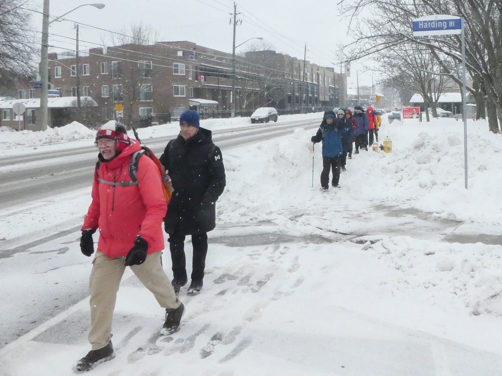
Urban Walk: Waterfront Trail 6/11 – Lakeshore East
https://hikes.brucetrail.org/event/urban-walk-waterfront-trail-6-11-lakeshore-east-3/Sorry, the registration cut-off time for this hike has been reached.Not a member? Click here to join today!Hosting Club: Toronto
Category: Urban Walk
Location (Google Maps):Toronto, Ontario, Canada
Hike Leader(s): Brian Rideout Click here to contact Hike Leader(s)
Pace: Moderate (3-4 km/hr)
Terrain: Flat
Distance (km): 10.9 kmDescription
Please join me at the Tim Horton’s at Lakeshore and Leslie no later than 9:50 am. We start hiking at 10:00 am.We will hike east on Lakeshore, along the Beaches Boardwalk, and on Kingston Rd to Brimley Rd. The estimated distance is 10.9 km. Here is an online map of our route Lakeshore to Brimley Rd
Bring a snack, at least 2 liters of water, bug spray and sunscreen.
Note: This hike is being done out of sequence due to a scheduling conflict.