
Hike Schedule
Join us for a hike! Registration required.
All hikes available to BTC members. Some hikes are open to non-members.
See Refund Policy for Paid Hikes >
TIP: The calendar view displays up to 7 hikes on a day, but often there are more. Click “View more events” to see them all.
Categories
- 19July 19, 2026
Car Hike: Jefferson Forest/Bond Lake
https://hikes.brucetrail.org/event/car-hike-jefferson-forest-bond-lake-6/Sorry, the registration cut-off time for this hike has been reached.Not a member? Click here to join today!Hosting Club: Toronto
Category: Cancelled
Location (Google Maps):1245 Bethesda Side Rd, Richmond Hill, ON L4E 1A2 ( Bethesda Trail Head Parking lot)
Hike Leader(s): Amir Alemohammad Click here to contact Hike Leader(s)
Pace: Moderate (3-4 km/hr)
Terrain: Challenging, Flat, Hilly, Level 2 (Intermediate – some hills and uneven surfaces, rocks and roots underfoot), Variable
Distance (km): 14-16KmDescription
The hike is canceled due to the weather conditions.
Let’s roll the hills of the Jefferson Forest and around the Bond Lake. Every week we hike in Jefferson Forest, located in the heart of Richmond Hill, it boasts numerous hiking trails. This 4 hour hike can range from 14 to 16 kilometres, depending on the weather conditions. Remember to bring water, snacks, hiking boots (mandatory), poles, and your camera. Not recommended for beginners. Park in the free Bethesda parking lot and avoid parking along the road. Dress appropriately for the weather. Difficulty Level: 2 (Moderate).Please arrive @7:45AM for start of 8:00AM.
This is a joint hike with the Oak Ridges Trail Association (ORTA).
what3words:
https://w3w.co/twisting.mailer.awakes
Sunny Sundays - Eugenia Falls to Johnston's Side Road
https://hikes.brucetrail.org/event/sunny-sundays-eugenia-falls-to-johnstons-side-road/Sorry, the registration cut-off time for this hike has been reached.Not a member? Click here to join today!Hosting Club: Beaver Valley
Location (Google Maps): Meet in the Johnston’s Side Road BTC parking area, km 71.7, Map 26, Edition 31, 44.315674.-80.549984 Please arrive by 8:15 a.m. prepared to car shuttle.
Hike Leader(s): Glenda Collings Click here to contact the hike leader.
Pace: Medium
Terrain: Moderate, Strenuous, Some steep sections, Some rocky footing
Length of Hike: 13.2 kmDescription
This is a linear hike, for which we’ll car shuttle to Eugenia Falls from Johnston’s Sideroad to begin our hike. Lots to enjoy on this one, including Eugenia Falls, Hogg’s Falls, a view across Cuckoo Valley and the beauty of the forest in it’s green glory. The pace will be medium, 3 to 4 km/hour. Dress for the weather, bring sufficient water, snacks/brunch, as we’ll have a break mid way. Please arrive by 8:15 a.m. prepared to car shuttle. There are portable toilets at Johnston’s Sideroad, Hogg’s Falls and Eugenia Falls. So we know whether or not to expect you, if you need to cancel please do so on the online calendar or by contacting me through this hike’s “click here to contact the hike leader” option in the hike schedule.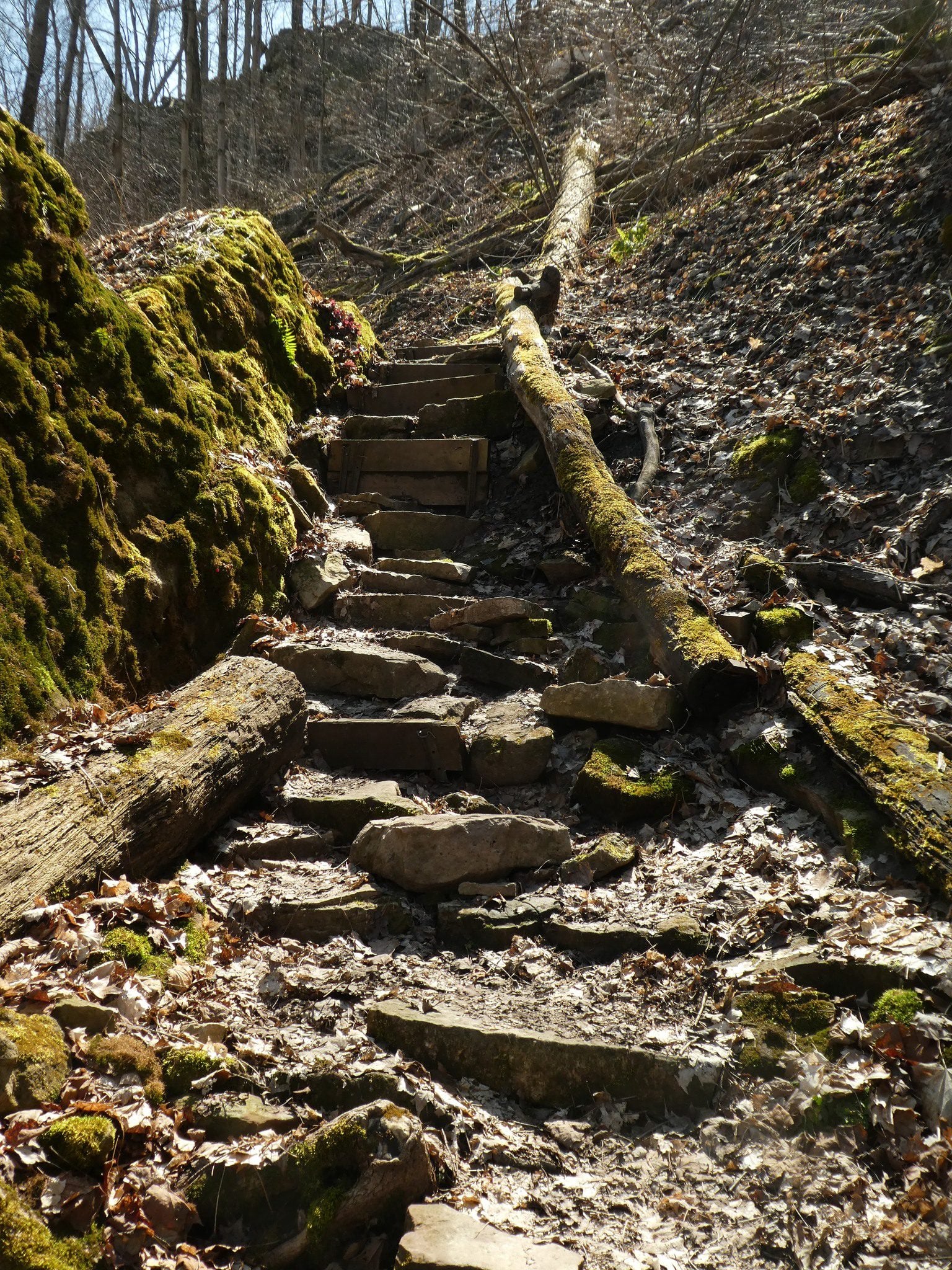
Woolverton to Jones Rd (E2E)
https://hikes.brucetrail.org/event/woolverton-to-jones-rd-e2e/Sorry, the registration cut-off time for this hike has been reached.Not a member? Click here to join today!Hosting Club: Iroquoia
Category: General Hike
Location (Google Maps): Meet at 9:15 at the end of Jones Rd, off Hwy 8 just past Stoney Creek.Hike Leader(s): Karen Bergmann Click here to contact Hike Leader(s)
Pace: Medium – 3 to 4 km/hr
Terrain: Moderate – Some hills and/or some poor footing
Distance: 9 kmsDescription
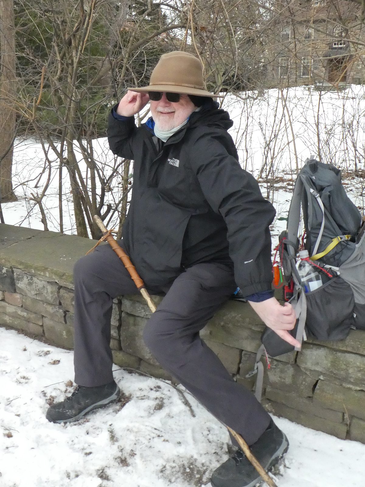
Meeting at the end of Jones Rd at 9:15 am, we will carpool to Woolverton Rd and hike back. There are plenty of rocks and roots and a few hills.Bring bug spray/bug net, plenty of water and a snack, as needed.
Waterfront Trail 3/11 – Long Branch
https://hikes.brucetrail.org/event/waterfront-trail-3-11-long-branch-2/Sorry, the registration cut-off time for this hike has been reached.Not a member? Click here to join today!Hosting Club: Toronto
Category: Urban Walk
Location (Google Maps): Etobicoke Waterfront TrailHike Leader(s): Brian Rideout Click here to contact Hike Leader(s)
Pace: Moderate (3-4 km/hr)
Terrain: Flat
Distance (km): 9 kmDescription
Please join me at Kipling Station by 9:15 am. We will take the 123 bus departing 9:30 am, arriving 9:53 am. If you want to meet us at the Long Branch loop, be there by 9:53 am. We start hiking at 10:00 am.We will hike to the lake and then east to Parklawn. There we can catch a bus to Old Mill Station or take the Lakeshore bus / streetcar. The estimated distance is 9 km. Here is an online map of our route – Long Branch to Parklawn https://onthegomap.com/s/h1dkuq9t
Bring a snack, at least 2 liters of water, sub screen and bug spray.
10:30 NBTC SUMMER Nature Hike
https://hikes.brucetrail.org/event/1030-nbtc-summer-nature-hike/Sorry, the registration cut-off time for this hike has been reached.Not a member? Click here to join today!Hosting Club: Niagara
Category: Loop
Location (Google Maps):Louth Conservation Area
Hike Leader(s): Helen Hermansen Click here to contact Hike Leader(s)
Pace: Leisurely <3 km/hr
Terrain: Moderate: some hills and some poor footing
Distance: ~5kmDescription
NBTC SUMMER NATURE HIKEHiking boots and poles are recommend as the terrain is rocky in sections.
Join us for the NBTC Nature Hike series to learn more about the biodiversity along the Niagara Escarpment. We will explore the trails throughout Louth Conservation area which offer beauty in all four seasons. Hikes will be held January, May, July & October – it will be amazing to see all the changes throughout the seasons. Your hike leaders, members of the NBTC Biodiversity Committee, will share their knowledge of the amazing flora & fauna along the trail as well as any biodiversity projects in the works for this year.
Parking is at the Louth Conservation Area Parking Lot on Staff Ave. Hiking boots and poles are recommend as the terrain is rocky in sections.
Note that he hike will be rescheduled in the event of heavy rains or heavy snow.
Rainbow Hike at Inglis Falls Arboretum
https://hikes.brucetrail.org/event/rainbow-hike-at-inglis-falls-arboretum/Sorry, the registration cut-off time for this hike has been reached.Not a member? Click here to join today!Hosting Club: Sydenham, Peninsula
Category: Rainbow Hike
Location (Google Maps): Click on the (Google Maps) link to take you there. Meet at the Pavilion beside the Grey Sauble Administration Centre at the Inglis Falls Arboretum at 237897 Inglis Falls Road which is 1.2 km north (towards Owen Sound) from Inglis Falls. You can also walk there from Harrison Park by following the blue-blazed Harrison Park side trail up the hill at the back end of the campground.
Or use these GPS coordinates to the Pavilion: 44.53526, -80.93592Hike Leader(s): Stewart Brown Click here to contact Hike Leader(s)
Pace: Leisurely: 3 km/h or less
Terrain: Easy: Mostly flat and good footing.
Distance: 2-4 kmDescription
Sydenham Bruce Trail Club (SBTC) is excited to celebrate a Rainbow Hike on the Bruce Trail and the trails at the Inglis Falls Arboretum! The Event will be based at the Pavilion at the Grey Sauble Conservation Administration Centre.Bring your own lunch and drinks to enjoy after the hike at the picnic tables in the shade of the Pavilion. There are washrooms at the Pavilion.
This inclusive, family-friendly 2SLGBTQIA+ hike offers a safe and supportive space for trans, gay, lesbian, bisexual, queer, 2Spirit, intersex, asexual people, as well as allies and friends.
The day includes two hiking options. We’ll begin with a short introduction at the Pavilion at 11 a.m., then walk an easy section of the Arboretum Trails with Arboretum Interpreter, Nan Brown, and SBTC Hike Leaders. Arboretum interpretation will include an introduction to this unique ecosystem of woody and herbaceous plants using a queer ecology perspective.
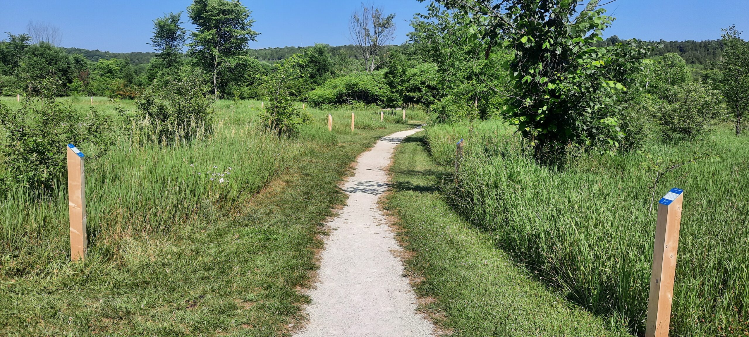
The guided Arboretum tour offers 2 km of winding trails through 20 acres of the Trees of the World section and the Grey-Bruce Native section both of which are adorned with interpretative signs of interesting details. Among the woody plants, there are intentional brush piles and meadows of native herbaceous plants which provide homes and food for butterflies, bees, birds and other animals in a sustainable, ecologically diverse habitat.
Back at the Pavilion about 12:45 p.m., participants can choose to stay there and socialize, or to continue for a 30-40 minute hike along the Bruce Trail to the bridge at the Sydenham River and along the the river a short distance, then return. We will follow the sparkling waters of the Sydenham River that flow past the forested paths.
Everyone will meet together by 1:30 p.m. at the Pavilion for a bring-your-own lunch and social time. Plan for about 3.5 hours until 2:30 p.m. for the hike and lunch.
You are welcome to stay after 2:30 p.m. at the Pavilion for as long as you would like. Also, consider visiting spectacular Inglis Falls or nearby Harrison Park. Or spend the rest of the day in Owen Sound and explore its River District.
All participants will receive a Bruce Trail Conservancy Pride Badge which represents a celebration of 2SLGBTQIA+ inclusion.
There are no parking fees at the Administration Centre of Grey Sauble Conservation.
If you would like to offer or receive a ride share, please complete the following Google Form: https://forms.gle/AtAETCoHrWTXSoY89 Grey Bruce Pride will facilitate connecting community members amongst Grey Bruce. A consent waiver is included.
- 20July 20, 2026
Limehouse Loop Hike
https://hikes.brucetrail.org/event/limehouse-loop-hike-5/Sorry, the registration cut-off time for this hike has been reached.Not a member? Click here to join today!Hosting Club: Iroquoia
Category: General Hike
Location (Google Maps):Limehouse Parking Lot
Hike Leader(s): Pati Greenwood, Jeff Dowsett Click here to contact Hike Leader(s)
Pace: Medium – 3 to 4 km/hr
Terrain: Moderate – Some hills and/or some poor footing
Distance: 15 kmDescription
Starting at the Limehouse Parking Lot, the hike will follow the main trail, the Canada Goose Side Trail, the Ridge Side Trail and the Todd Bardes Meadowland Side Trail to form at 15 km loop. The route will include some rough, rocky areas which can be tricky to navigate. Wear hiking boots and bring poles to help navigate the terrain. There will be regular breaks, including a snack stop along the way. Bring snacks and plenty of water. Ticks and other insects are active at this time of year, so wearing clothing covering the legs are arms is recommended as is insect repellent. Please arrive at 8:15 am as we will depart promptly at 8:30 am.Steve Bauer Trail (North)
https://hikes.brucetrail.org/event/steve-bauer-trail-north/Sorry, the registration cut-off time for this hike has been reached.Not a member? Click here to join today!Hosting Club: Niagara
Category: Leisurely
Location (Google Maps): Northtown Plaza, 325 Thorold Rd., Welland, On (park near Dollarama)Hike Leader(s): Diane Marlatt Click here to contact Hike Leader(s)
Pace: Leisurely <3 km/hr
Terrain: Easy: mostly flat, good footing
Distance: 7KmDescription
- 21July 21, 2026
Long Hike Short Hills
https://hikes.brucetrail.org/event/long-hike-short-hills-3/Sorry, the registration cut-off time for this hike has been reached.Not a member? Click here to join today!Hosting Club: Niagara
Location (Google Maps):
Short Hills Wiley Road, Thorold
Pace: Brisk 4-5 km/hr
Terrain: Moderate: some hills and some poor footing
: 10k+Description
Our regular Spot for the Tuesday Long Hike. Note the new location. We will hike the trails around Short Hills Dress for the weather and bring sunscreen bug spray, poles snack and drinkLooping Through Hilton Falls Conservation Area
https://hikes.brucetrail.org/event/looping-through-hilton-falls-conservation-area/Sorry, the registration cut-off time for this hike has been reached.Not a member? Click here to join today!Hosting Club: Caledon Hills
Category: Tuesday Hikers
Location (Google Maps): Parking Area – On Sixth Line at km 9.2 (Map 11), providing access to the Hilton Falls Side Trail.Hike Leader(s): Doris Harper Click here to contact Hike Leader(s)
Pace: Medium – 3 to 4 km/hour
Terrain: Moderate – some hills and/or some poor footing
Distance: Approximately 8 -10 km – total distance will depend on weather.Description
The hike will begin at the parking area on Sixth Line at km 9.2. We will hike the Hilton Falls side trail in both directions, about 2 t0 3 kms in each direction for a total of 8 t0 10 kms.Bring lots of water and or other fluids to stay hydrated. Sun screen, sun hats recommended as well as bug spray.
9:15 Short Hike, Short Hills Provincial Park, St. Catharines
https://hikes.brucetrail.org/event/915-short-hike-short-hills-provincial-park-st-catharines-4/Sorry, the registration cut-off time for this hike has been reached.Not a member? Click here to join today!Hike open to BTC Members only.
Hosting Club: Niagara
Category: Hike
Location (Google Maps): Short Hills Provincial Park, Pelham Rd entranceHike Leader(s): Debbie Demizio Click here to contact Hike Leader(s)
Pace: Medium 3- 4 km/hr
Terrain: Moderate: some hills and some poor footing
Distance: 6 kmDescription
Hike the main and side trails of Short Hills Provincial Park. Please bring water, insect repellent, sunscreen and hiking poles. Check yourself for ticks following the hike.Urban Walk: Valley View/Huntington Park
https://hikes.brucetrail.org/event/urban-walk-valley-view-huntington-park-9/Sorry, the registration cut-off time for this hike has been reached.Not a member? Click here to join today!Hosting Club: Toronto
Location (Google Maps): Parking lot is off Sycamore Drive, East of Bayview , across Starbucks plaza
Bus 91 from Finch East station stops at Sycamore station.Hike Leader(s): Mohammad Aghamiri
Pace: Moderate (3-4 km/hr)
Terrain: Hilly, Level 2 (Intermediate – some hills and uneven surfaces, rocks and roots underfoot)
Distance (km): 6-7 kmDescription
We will explore Valleyview and Maple View parks, and walk along German Mill Creak, in return we stop in Huntington park and have snack under beautiful shed.Although this is considered an “Urban Walk”, you can expect some hills up and down and uneven surfaces with tree roots. Please bring hiking poles, water and snacks.
Urban Walk: East Don Trail
https://hikes.brucetrail.org/event/urban-walk-east-don-trail/Sorry, the registration cut-off time for this hike has been reached.Not a member? Click here to join today!Hosting Club: Toronto
Category: Urban Walk
Location (Google Maps): Meet in front of the East York Memorial Arena (Cosburn Avenue & Cedarvale, one block east of Woodbine Avenue). From Woodbine Station take the #91 Woodbine or #93 Parkview Hills bus to Cosborn and walk one block east. Or from Brodview Station or Main Street Station take the Cosburn #87A or #87C Bus to Cedarvale Avenue. Main Street Station is closer. Pubic washrooms are available in the park.Hike Leader(s): Tom Swales Click here to contact Hike Leader(s)
Pace: Moderate (3-4 km/hr)
Terrain: Flat, Hilly, Level 2 (Intermediate – some hills and uneven surfaces, rocks and roots underfoot), Variable
Distance (km): 8 kmDescription
Join me in one of a series of weekday morning urban hikes in Toronto. We will hike part of Taylor Creek Park towards the Forks Of The Don and then explore the newly opened trail connection on the East Don taking us north to Eglinton (Sloane Station on Line 5) It is a paved path which oficially opens July 13th. This is Phase 1 of the trail which will eventually connect the trail to the Gataineau Hydro Corridor (The MeadowWay), Wigmore Park, Moccasin Trail Park, and the East Don Trail to Lawrence. If you would like to join us for lunch (optional) my pick for this hike is Best Hakka Chinese Restaurant (https://besthakka.ca/c/lunch-special/)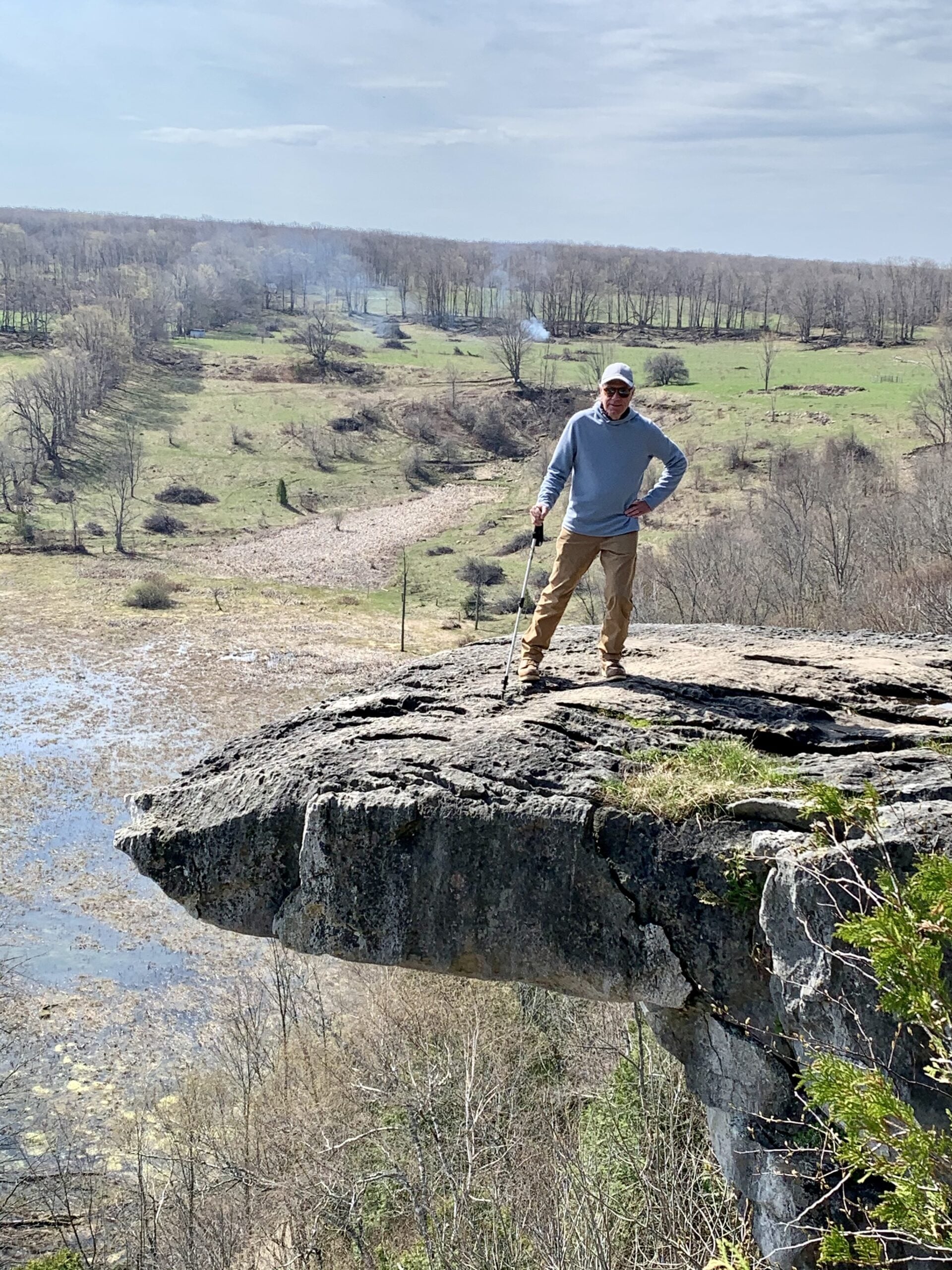
Skinners Bluff & loop via Slough of Despond/The President’s Path side trails
https://hikes.brucetrail.org/event/skinners-bluff-loop-via-slough-of-despair-the-presidents-path-side-trails/Sorry, the registration cut-off time for this hike has been reached.Not a member? Click here to join today!Hosting Club: Sydenham
Category: General Hike
Location (Google Maps): 155.2 km BTC Map #34 – Roadside parking on Colpoy’s Range Rd. Do not block farm gate or loading ramp. Do not approach from the east side of Colpoy’s Range Rd via Coles Sideroad. Approach from the west side via Centre Rd. Contact the Hike leader if your preference is to car pool.Hike Leader(s): Ian Mills
Pace: Medium: 3 to 4 km/h
Terrain: Moderate: Some hills and/or poor footing, There might be muddy sections., There might be sections with water on the trail.
Distance: 8 kmDescription
We will hike the Slough of Despond side trail looping via The President’s Path side trail returning to our starting point taking the main trail to an outstanding viewing (and photo) opportunity before returning via the Chris Walker side trail. BTC Map # 34. - 22July 22, 2026
WEDNESDAY WALKERS - Eugenia Falls to Hogg's Falls
https://hikes.brucetrail.org/event/wednesday-walkers-eugenia-falls-to-hoggs-falls/Sorry, the registration cut-off time for this hike has been reached.Not a member? Click here to join today!Hosting Club: Beaver Valley
Location (Google Maps): We will meet in the parking lot of Hogg’s Falls, km 65.1, Edition 31. From there we will take the number of vehicles necessary to go to the start of the hike. (Parking at Eugenia Falls CA is paid parking.)
Hike Leader(s): Margaret Yaraskavitch Click here to contact the hike leader.
Pace: Medium
Terrain: Some rocky footing, Some steep sections
Length of Hike: 7 kmDescription
This hike begins with some views of Eugenia Falls, at the crest and through the trees. From there it’s on to the Cuckoo Valley. We’ll visit the outstanding Cuckoo Valley lookout area. Passing through mature forest and by an upland meadow, we arrive at Hogg’s Falls, an always picturesque scene on the Boyne River.
Get Started on Your Citizen Scientist Badge with iNaturalist
https://hikes.brucetrail.org/event/get-started-on-your-citizen-science-badge-with-inaturalist/Sorry, the registration cut-off time for this hike has been reached.Not a member? Click here to join today!Hosting Club: Caledon Hills
Category: Nature Walks
Location (Google Maps): Bruce Trail parking Lot at Riverside Woods, 713377 1st Line EHS, Mono.
Driving directions:
From Hwy # 10 north of Orangeville, turn east on to Hockley Rd. Drive for 1.1 km. Continue straight onto Side Road 5 for 1.6 km. Turn left onto 1st Line EHS for 900 meters. Continue straight into the parking lot.
***DO NOT TAKE 1ST LINE EHS SOUTH FROM HOCKLEY ROAD. It is not maintained. Google maps may suggest this impassable routeHike Leader(s): Leslie Bissegger Click here to contact Hike Leader(s)
Pace: Leisurely – 3 km/hour or less
Terrain: Moderate – some hills and/or some poor footing
Distance: 3-5 kmDescription
If you can take pictures on your phone, this day will get you well started in earning your Citizen Scientist Badge from the Caledon Hills Club. This leisurely 3-5 km Nature Walk will include instruction in how to use or improve your use of iNaturalist. iNaturalist data is used to collect biodiversity data that can be used by land stewards, property owners and conservation staff at the Bruce Trail Conservancy.Wear comfortable, sturdy shoes, bring sunscreen, bug spray, water and a phone for taking photos. A back-up battery charger may be useful.
Optional: bring a picnic lunch to enjoy with the group after the hike and have a chance to ask questions and compare notes.
We will email you instructions on how to download and set up your iNaturalist account before the hike when you register.
No dogs please
Details on the Citizen Science Badge can be found here https://caledonbrucetrail.ca/hiking/club-badges/citizen-scientist-badge/
Badges will be available after the hike for those who qualify ($5 )
Car Hike: Toronto Section E2E (2 of 4)
https://hikes.brucetrail.org/event/car-hike-toronto-section-e2e-2-of-4-2/Sorry, the registration cut-off time for this hike has been reached.Not a member? Click here to join today!Hosting Club: Toronto
Category: Car Hike
Location (Google Maps): Sixth Line Halton Hills, Bruce Trail Parking Lot, North of Limehouse, South of Highway 7 (26.6k marker, Edition 31)Hike Leader(s): David Rowney Click here to contact Hike Leader(s)
Pace: Moderate (3-4 km/hr)
Terrain: Variable
Distance (km): 15kDescription
This is a summer-time End-to-End hike to complete the Toronto section of the Bruce Trail in 4 hikes. Join for all or as many hikes as desired.This second hike will take us from the Bruce Trail Pear Tree Park to the Sixth Line, north of Limehouse. Once again, the terrain is not too hilly, but the footing is tricky with uneven, rocky sections to navigate.
July weather can be hot, muggy and buggy! So, dress for the weather, keeping in mind that insects, including ticks, will be out in full force. Take appropriate precautions to avoid insect bites, including using repellant and clothing that covers the legs and arms. Hiking shoes/boots are required and hiking poles are recommended.
Bring plenty of fluids, including electrolytes, and a snack and lunch.
As this is a group hike, please consider your fitness level before registering. We will be walking at a pace of 3km – 4km per hour and everyone is expected to keep up with the person in front of them for the duration of the hike.
Plan to arrive at the meeting place by 9:15 a.m. as we will start the car shuffle to the hike starting point at 9:30 a.m. sharp. Further details will be provided to registered hikers a few days prior to the hike.
Dundas Valley Loops
https://hikes.brucetrail.org/event/dundas-valley-mccormack-sawmill-beckett-loops/Sorry, the registration cut-off time for this hike has been reached.Not a member? Click here to join today!Hike open to BTC Members only.
Hosting Club: Iroquoia
Category: Good Companions
Location (Google Maps): Dundas Valley Conservation Area – 650 Governor’s Road
Parking Directions
Drive through the main entrance of the Dundas Valley Conservation Area to the largest parking lot at the very end of the road. Walk a few hundred meters to the Trail Centre It takes a few minutes to walk from the parking lot to the Trail Centre, so give yourself extra time. We will meet at the Trail Centre.
Entrance fee is free for HCA/Dundas Valley members; $11.50 per vehicle for non-members. Pay by credit card at kiosk at entranceHike Leader(s): Kathy Rymal Click here to contact Hike Leader(s)
Pace: Medium – 3 to 4 km/hr
Terrain: Easy – Mostly flat and usually good footing, Moderate – Some hills and/or some poor footing, Strenuous – Hilly with steep climbs and some poor footing
Distance: 7.5 kmDescription
We will head out on the McCormack trail from the trail centre and cross over Governor’s Road to continue the trail past a horse farm to a beautiful lookout point with views of the escarpment, Dundas, Hamilton and Lake Ontario. We will return along the Bruce, McCormack and Sawmill trail ending up back in the parking lot where we will pay homage to the savior of the Dundas Valley, Thomas A. Beckett Q.C. by hiking along a short 400m trail named in his honor. - 23July 23, 2026
8:00 am Long hike NEW Location. Bailey bridge Jordan
https://hikes.brucetrail.org/event/800-am-long-hike-new-location-bailey-bridge-jordan-4/Sorry, the registration cut-off time for this hike has been reached.Not a member? Click here to join today!Hosting Club: Niagara
Location (Google Maps):
Bailey bridge Jordan
Pace: Brisk 4-5 km/hr
Terrain: Strenuous: hilly, with steep climbs, poor footing
: ~10kDescription
This will be our permanent location . Hike up from the Bailey bridge to Balls Falls and explore the trailsYou must register for each hike. Bring Poles, snack and a drink. Dress for the weather
Duncan / Metcalf Rock Loop
https://hikes.brucetrail.org/event/duncan-metcalf-rock-loop/Sorry, the registration cut-off time for this hike has been reached.Not a member? Click here to join today!Hosting Club: Beaver Valley
Location (Google Maps): Meet on the 9th sideroad parking area, entrance to Duncan Crevice Caves, km 33.3, Map 25, Edition 30, N44.423216, W80.469565
Hike Leader(s): Alan McPherson Click here to contact the hike leader.
Pace: Medium
Terrain: Moderate, Some rocky footing, Some steep sections
Length of Hike: 10.3 kmDescription
Meet in parking lot at 8:50 for introductions so we can set off at 9 am. We will start on the main trail from the parking lot and take the Chuck and Pat Grant side trail east until we hook back up with main trail. We will spend some time exploring around Metcalfe’s Rock before heading back west and then north on the main trail. Lots of places to take in the views and enjoy the day. Bring water and snacks as we will take regular breaks to enjoy views or other sights. Sunscreen and bug protection are always recommended.Hiking Around Jordan
https://hikes.brucetrail.org/event/hiking-around-jordan-64/Sorry, the registration cut-off time for this hike has been reached.Not a member? Click here to join today!Hosting Club: Niagara
Location (Google Maps): Sho’Arishon Park (Jordan Hollow)
Hike Leader(s): Bill Russell Click here to contact Hike Leader(s)
Pace: Medium 3- 4 km/hr
Terrain: Moderate: some hills and some poor footing
Distance: 7 kmDescription
Hiking in and around Jordan, Rainforth Trail and Balls Falls, alternating every 3 weeks.Urban Walk: Valley View/Huntington Park 215
https://hikes.brucetrail.org/event/urban-walk-valley-view-huntington-park-10/Sorry, the registration cut-off time for this hike has been reached.Not a member? Click here to join today!Hosting Club: Toronto
Location (Google Maps): Parking lot is off Sycamore Drive, East of Bayview , across Starbucks plaza
Bus 91 from Finch East station stops at Sycamore station.Hike Leader(s): Mohammad Aghamiri
Pace: Moderate (3-4 km/hr)
Terrain: Hilly, Level 2 (Intermediate – some hills and uneven surfaces, rocks and roots underfoot)
Distance (km): 6-7 kmDescription
We will explore Valleyview and Maple View parks, and walk along German Mill Creak, in return we stop in Huntington park and have snack under beautiful shed.Although this is considered an “Urban Walk”, you can expect some hills up and down and uneven surfaces with tree roots. Please bring hiking poles, water and snacks.
Hike, followed by Blues in the Park
https://hikes.brucetrail.org/event/hike-followed-by-blues-in-the-park-4/Sorry, the registration cut-off time for this hike has been reached.Not a member? Click here to join today!Hosting Club: Niagara
Category: Leisurely
Location (Google Maps):2275 Dorchester Rd, Niagara Falls, ON L2J 0H1
Hike Leader(s): Marion Hanover Click here to contact Hike Leader(s)
Pace: Leisurely <3 km/hr
Terrain: Moderate: some hills and some poor footing
Distance: 4kmDescription
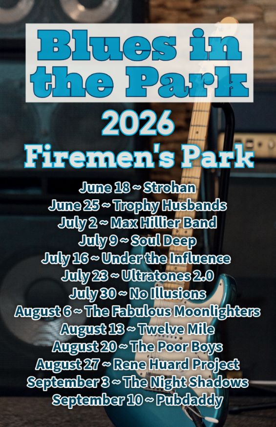
Hike series Thursday evenings throughout the summer, followed by optional Blues in the Park. Come prepared to hike 1.5 leisure hike. Various blues bands free of charge starting at 7pm in the park. Bring lawn chair, beverage and snack to share. - 24July 24, 2026
Scotsdale Farm - Silver Creek Loop
https://hikes.brucetrail.org/event/scotsdale-farm-silver-creek-loop-2/Sorry, the registration cut-off time for this hike has been reached.Not a member? Click here to join today!Hosting Club: Iroquoia
Category: General Hike
Location (Google Maps):Scotsdale Farm Main Parking Lot
Hike Leader(s): Pati Greenwood, Jeff Dowsett Click here to contact Hike Leader(s)
Pace: Medium – 3 to 4 km/hr
Terrain: Moderate – Some hills and/or some poor footing
Distance: 14 kmDescription
From the Scotsdale Farm parking lot, we will hike the main trail and side trails in Silver Creek Conservation area for a 14k loop. The terrain through this area can be tricky with uneven footing and rough, rocky areas. Wear sturdy footwear and clothing appropriate to conditions. Insect repellent is recommended. Bring a snack and plenty of water.Please arrive at 8:15 am as well will leave promptly at 8:30 am.
Niagara-on-the-Lake Tour
https://hikes.brucetrail.org/event/niagara-on-the-lake-tour-32/Sorry, the registration cut-off time for this hike has been reached.Not a member? Click here to join today!Hosting Club: Niagara
Category: Urban
Location (Google Maps): Park on King St near Centre St, Niagara-on-the-LakeHike Leader(s): Margaret Northfield Click here to contact Hike Leader(s)
Pace: Medium 3- 4 km/hr
Terrain: Easy: mostly flat, good footing
Distance: 6-7kmDescription
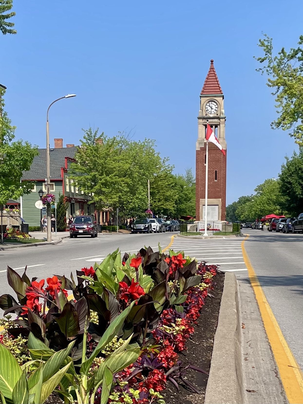
Each Friday we will explore Niagara-on-the-Lake while getting a moderate paced walk. Discover where the Niagara River meets Lake Ontario. Experience the Heritage District, woods and the Niagara Parkway.Some weeks may be totally on sidewalks and roads while others may include a mix of trail and paved pathways.
Great way to build up endurance for longer more strenuous hikes.
Plan to stay for conversation and a coffee at Sweets & Swirls, Community Centre, Niagara Stone Rd., NOTL
Brisk Fridays - Grey Rd 40/Deviation Road
https://hikes.brucetrail.org/event/brisk-fridays-grey-rd-40-deviation-road/Sorry, the registration cut-off time for this hike has been reached.Not a member? Click here to join today!Hosting Club: Sydenham
Category: Brisk Fridays
Location (Google Maps): BTC Parking Area on the south side of Grey Road 40, 650 m east of Grey Road 7Hike Leader(s): Stewart Brown Click here to contact Hike Leader(s)
Pace: Brisk: 4 to 5 km/h
Terrain: Moderate: Some hills and/or poor footing
Distance: 15 kmDescription
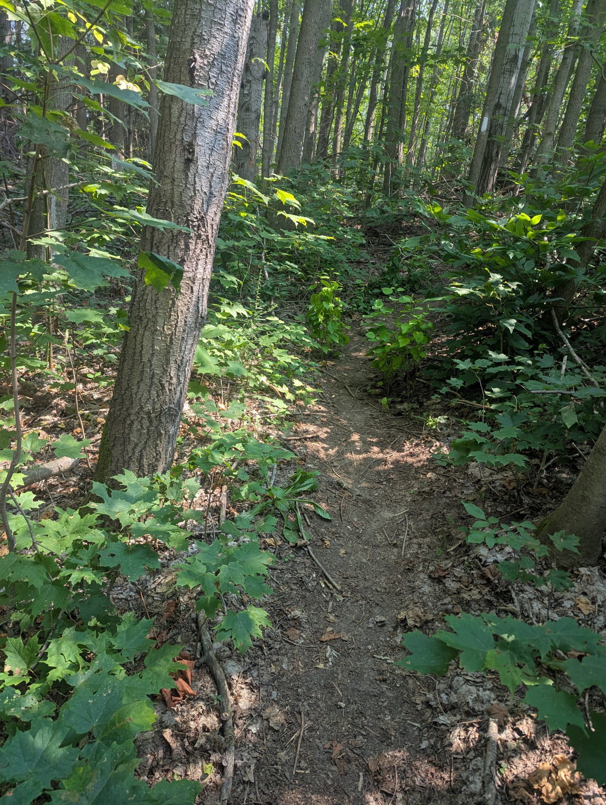
A fun summer shuttle hike between Deviation Road and Grey Rd 40 follows the main trail in both the Sydenham and Beaver Valley. The hike is almost entirely in protected forests along the escarpment edge. This brisk-paced hike will get your weekend off to a great start. - 25July 25, 2026
Sunrise Hike at Colpoy's Bay
https://hikes.brucetrail.org/event/sunrise-hike-at-colpoys-bay/Sorry, the registration cut-off time for this hike has been reached.Not a member? Click here to join today!Hosting Club: Peninsula
Category: Sunrise Hike
Location (Google Maps): WiartonHike Leader(s): Marg Glendon Click here to contact Hike Leader(s)
Pace: Leisurely (2.0 – 3.0 km/h): A relaxed pace with frequent breaks and a focus on enjoyment., Medium (3.0 – 4.5 km/h): A comfortable pace for most hikers with steady progress.
Terrain: Difficult: Steep ascents/descents, rocky scrambling, and some rugged escarpment paths., Easy: Flat forested sections or lowland trails., Moderate: Rolling hills, mild slopes and rocky paths.
Distance: ~5 kmDescription
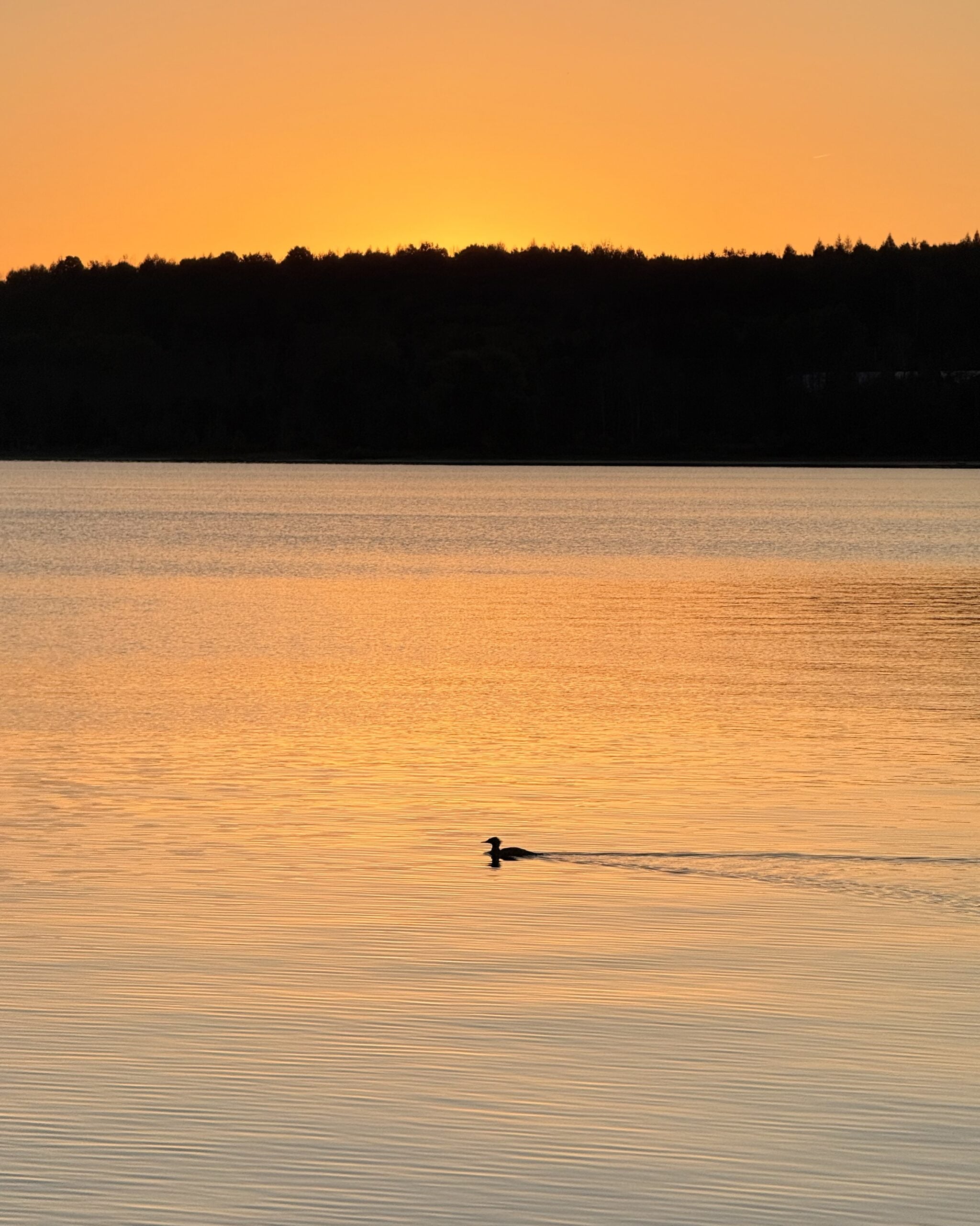
Experience the magic of dawn on the Bruce Trail with the Sunrise Hike Series offered by the Peninsula Bruce Trail Club. These early morning hikes provide a perfect opportunity to awaken your senses, boost your energy, and immerse yourself in the tranquility of nature as the sun paints the sky with breathtaking hues. As we make our way along the shoreline of Colpoy’s Bay and through scenic forest trails, we’ll pause to witness the first light shimmering on the turquoise waters of Georgian Bay – a sight that will surely leave you in awe!Beyond the beauty, morning light helps regulate your circadian rhythm, elevating your mood, boosting energy levels and improving sleep quality. Whether you’re looking to start your day with a sense of calm, capture stunning sunrise photos, or simply reconnect with nature, these hikes offer a unique and inspiring way to greet the day.
On, Saturday, July 25th, join us in hiking where we’ll experience the sun rising over beautiful Colpoy’s Bay, and after climbing the spiral staircase – at the top of the escarpment at beautiful Spirit Rock Conservation Area. After having the joy of taking in the stunning colours of the sky as the first light sparkles on the stunning turquoise waters, we will hike the Spirit Rock Side Trail before returning to our starting point. This peaceful sunrise hike is the perfect way to connect with nature, capture some incredible photos, and start the day with fresh air and inspiration. Whether you’re a morning person or just love a good adventure, come experience the magic of dawn from the shores of Bluewater Park and beautiful Colpoy’s Bay!
Don’t forget to bring a headlamp or flashlight (preferably with a red light setting) as we begin our adventure in the pre-dawn quiet. Join us and discover how a sunrise hike can nourish your mind, body, and spirit – setting the tone for a brighter, more balanced day.
This hike is approximately 5 kms in length. Expect to be on the trail for about 2 1/2 hours. Pace will be leisurely with ample time to enjoy the sunrise, take some photographs, and nourish yourself!
Extend your morning of self-care by exploring the Wiarton Lavender Festival located at Bluewater Park, and/or join an outdoor yoga class at nearby Bluewater Lavender Farm. Learn more about the festival and register for yoga here: https://www.bluewaterlavender.com/about-4 . The festival is free. A fee is required for the yoga class. Avoid disappointment and register early for the yoga class.
How to prepare
- Get a good night’s sleep
- Bring lots of water and a snack (breakfast and/or coffee are recommended if that’s your thing!)
- Bring a headlamp or flashlight (preferably with a red light setting)
- Wear sturdy, closed toe footwear.
- Hiking poles are recommended but not necessary
- Bring insect repellant or wear protective clothing
- Bring sunscreen
In the event of cloudy/rainy weather, the hike will be held on Sunday, July 26th . Please watch your emails for a confirmation the week of the hike
Coach Trip: Silent Lake Provincial Park
https://hikes.brucetrail.org/event/coach-trip-silent-lake-provincial-park-3/Sorry, the registration cut-off time for this hike has been reached.Not a member? Click here to join today!Trip Information
Departure Time: 07:30
Return to City Time: 19:30
Departure Point: York Mills Bus PickupTrip Activities
Fast hike & swim ($0.01)
Moderate hike ($0.01)
Short hike & swim ($0.01)
Optional ItemsHosting Club: Toronto
Category: Coach Trips
Location (Google Maps): Silent Lake Provincial ParkHike Leader(s): Martina Furrer, Marie-Josée Roy, Leonora Rochwerger, Leila Damband, Janet McColeman, Celia Ho Click here to contact Hike Leader(s)
Pace: Brisk (4-5 km/hr), Moderate (3-4 km/hr)
Terrain: Hilly, Level 2 (Intermediate – some hills and uneven surfaces, rocks and roots underfoot), Variable
Distance (km): Fast (16 km at greater than 4 km/hr), moderate (16 km at 3 km/hr), short hike (10 to 12 km at 3 km/hr)Description
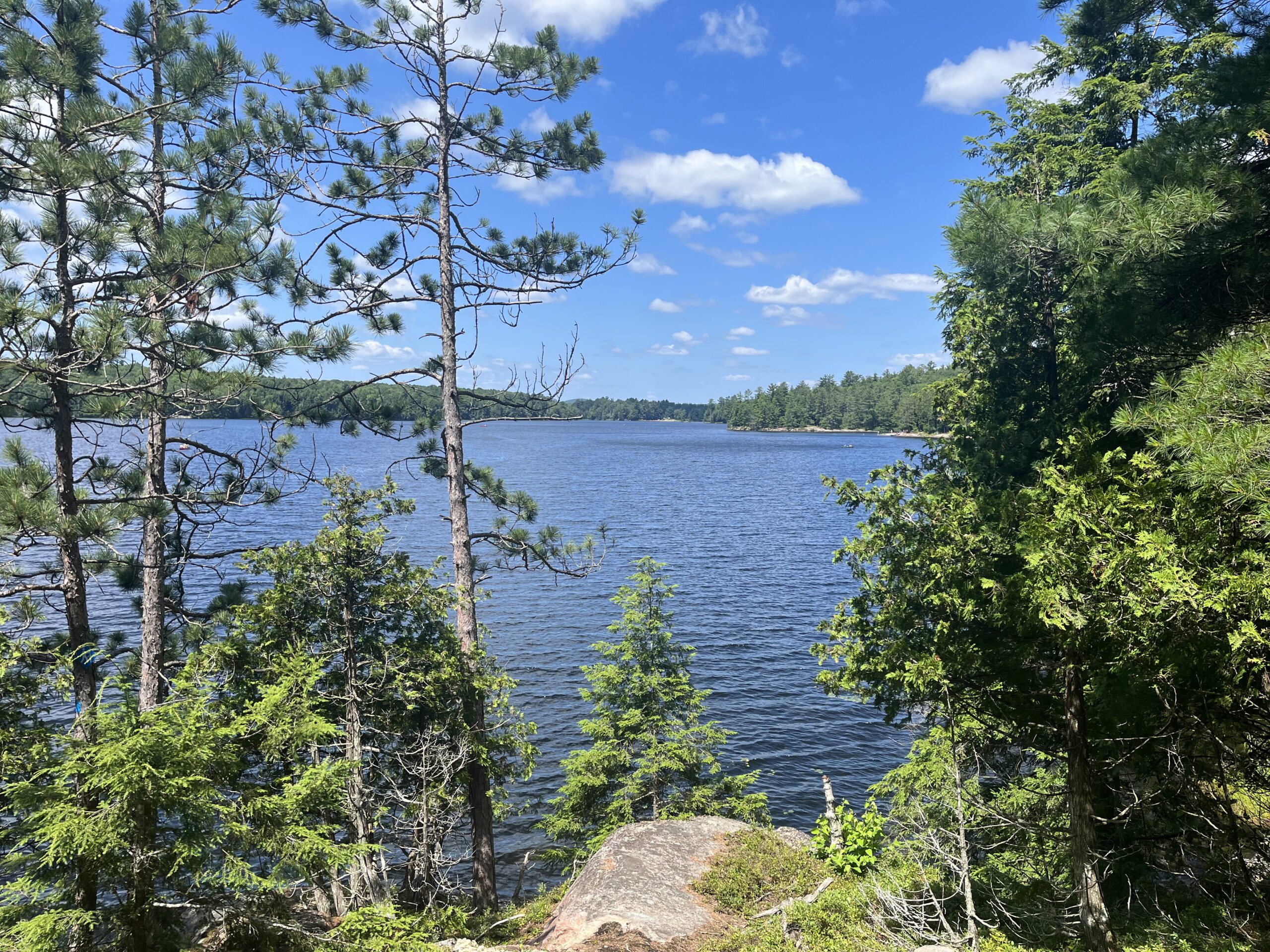
Join us for a fun summer day at beautiful Silent Lake Provincial Park in the heart of the Kawarthas. Choose your own adventure:- Fast hike and swim: Hike the Silent Lake loop (16 km, 4.5 km/hr pace, no dropouts) with Martina and Marie-Josée , then cool off with a dip in Silent Lake.
- Moderate hike: Hike the Silent Lake loop (16 km, 3 km/hr pace, no dropouts) with Leonora and Leila. This group will not have time for swimming.
- Short hike and swim: An in an out hike (10 to 12 km, 3 km/hr pace) along the Lakeshore and Bonnie’s pond trails with Janet and Celia.
- A self-guided day on the water: Float with the loons as you paddle and swim on peaceful Silent Lake. Canoe, kayak, and stand up paddleboard rentals available ($25 + HST for two hours, $40 + HST for six hours).
All three hiking options include gorgeous views and some challenging rocks.
Bring lunch, water, snacks, and your swimming gear.
No refreshment stop but there are washrooms and drinking water taps by the day use beach, and you can purchase ice cream and cold drinks in the park store.
Bus departs 10 York Mills Rd at 7:30 AM. We hope to be back in the city by 8 PM. Registration cost includes bus fare and park admission.
Car Hike: Uxbridge-Brock Track
https://hikes.brucetrail.org/event/car-hike-uxbridge-brock-track-7/Sorry, the registration cut-off time for this hike has been reached.Not a member? Click here to join today!Hosting Club: Toronto
Category: Car Hike
Location (Google Maps):Meet at the 1401 Brock Rd, Brock Tract parking lot on the east side of Durham 1/Brock Rd., approximately 5 km south of Coppin’s Corners, Uxbridge or 1 km north of Uxbridge Pickering Town Line. 1401. (Free parking).
Hike Leader(s): Amir Alemohammad Click here to contact Hike Leader(s)
Pace: Moderate (3-4 km/hr)
Terrain: Flat, Hilly, Level 2 (Intermediate – some hills and uneven surfaces, rocks and roots underfoot), Variable
Distance (km): 14-15 kmDescription
Join us for a wonderful hike in Uxbridge starting from Brock Track parking lot. We will hike the Brock Track and Wilder Forest among the amazing trails of Uxbridge.Boots mandatory, poles recommended, bring 2 litres of water and dress according to weather conditions.
Please arrive at 7:45 for a 8:00 start.
Beware, Iphone Maps may take you to the wrong location. Check the location with Google Maps the previous night.
This is a joint hike with Oak Ridges Trail Association (ORTA).
8:30am Niagara Shores Park Beachcoming Hike
https://hikes.brucetrail.org/event/830am-niagara-shores-park-beachcoming-hike-4/Sorry, the registration cut-off time for this hike has been reached.Not a member? Click here to join today!Hosting Club: Niagara
Category: In and Out
Location (Google Maps):Corner of Niven Road and Lakeshore Road in Niagara-on-the-Lake. Park along Old Lakeshore Road.
Hike Leader(s): Suzanne Gourluck Click here to contact Hike Leader(s)
Pace: Leisurely <3 km/hr
Terrain: Moderate: some hills and some poor footing
Distance: 5-6kmDescription
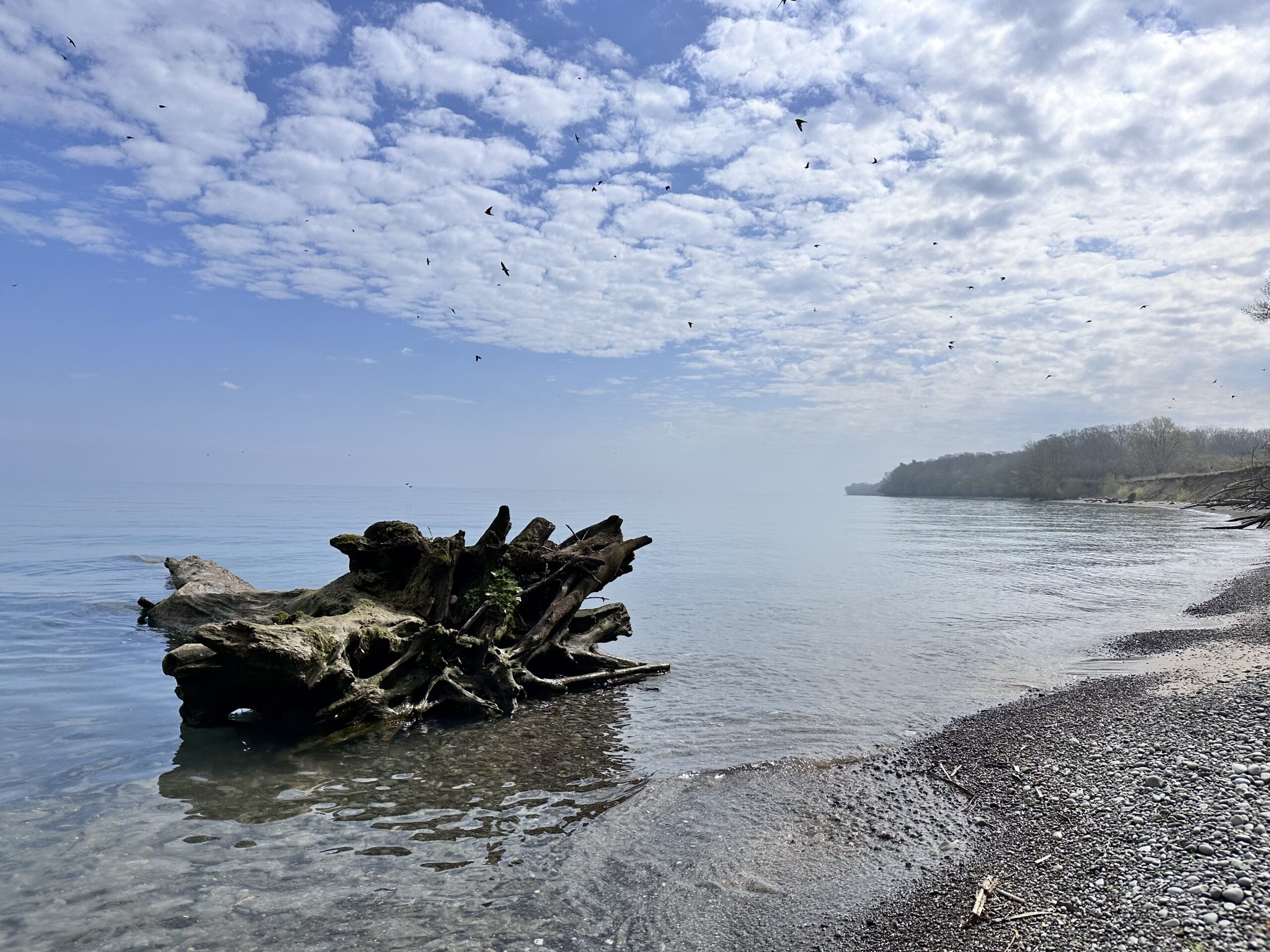
Explore a lakeshore park, shoreline and cliff top trail in Niagara-on-the-Lake. This beachcombing hike involves uneven ground, clambouring over fallen trees, a pebbly beach, sandy, wet and exposed areas. Hat and poles are highly recommended. Please note: This is not a maintained trail so caution is needed.
Car Hike: Forks of the Credit - Devil's Pulpit
https://hikes.brucetrail.org/event/car-hike-forks-of-the-credit-devils-pulpit-2/Sorry, the registration cut-off time for this hike has been reached.Not a member? Click here to join today!Hosting Club: Toronto, Caledon Hills
Category: Car Hike
Location (Google Maps):Devil’s Pulpit – Meet at roadside parking, at intersection of Creditview Road and Grange Sideroad. N43.791491, W-79.975229. Map 14 Edition 31. Please arrive fifteen minutes early.
Hike Leader(s): Mr Ross Click here to contact Hike Leader(s)
Pace: Brisk (4-5 km/hr), Moderate (3-4 km/hr)
Terrain: Challenging, Level 2 (Intermediate – some hills and uneven surfaces, rocks and roots underfoot), Level 3 (Advanced – steep hills and some scrambling over boulders), Rocky
Distance (km): 12-13 kmsDescription
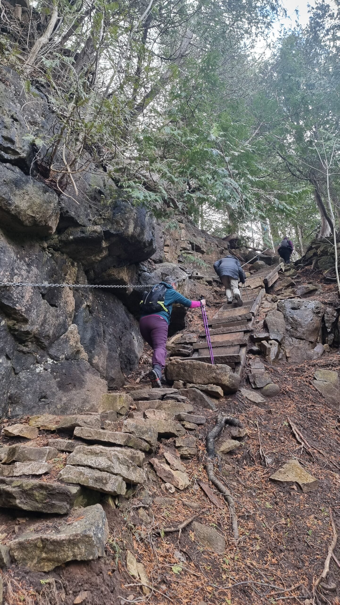
Hiking’s beauty is it’s simplicity. You set your destination and start the journey. Hiking is the most natural way of fueling your body, mind and spirit while savoring the beauty of the landscape around you. You feel the breathe of fresh air and the earth under your feet. So join me and others explore and visit the Devil at the – Devil’s Pulpit and it’s nearby Side Trails. A comfortable, sturdy hiking shoe/boot and hiking poles are highly recommended to tackle the rocky section. Please bring sufficient hydration liquid, snack and lunch. Bring sunscreen, bug repellent and sun head protection. Always carry your personal medication (if any) and health card at all time. Don’t forget your enthusiasm. Please arrive fifteen minutes early for 8:30 start.
RAINBOW HIKE: Devil's Punch Bowl to Red Hill
https://hikes.brucetrail.org/event/rainbow-hike-devils-punch-bowl-to-red-hill-2/Sorry, the registration cut-off time for this hike has been reached.Not a member? Click here to join today!Hosting Club: Iroquoia
Category: Rainbow Hike
Location (Google Maps): Red Hill Valley South Parking Lot, Mud StreetHike Leader(s): Doug O’Neill Click here to contact Hike Leader(s)
Pace: Leisurely – 3km/hr or less, Medium – 3 to 4 km/hr
Terrain: Easy – Mostly flat and usually good footing, Moderate – Some hills and/or some poor footing
Distance: 10-11 kmDescription
NOTE: This was scheduled for July 18 but now on July 25.Join this 2SLGBTQIA+ Rainbow hike from Devil’s Punch Bowl to Red Hill Parking lot. PLEASE NOTE: after you’ve completed registration for this hike, click “Contact the Hike Leader” and let us know if (a) you’re a car driver willing to shuttle a few fellow hikers at the start of the hike, or (b) if you need a ride for the shuttle. Read below for details.
Note: While the hike begins at Devil’s Punch Bowl, we’ll actually meet at Red Hill Parking Lot. This hike involves a short car shuttle. If you’re arriving without a car, don’t worry—we’ll arrange rides for everyone. We’ll ask a number of drivers (in advance) if they would conisder volunteering for the shuttle.
The Route: We plan to explore Devil’s Punchbowl, a geological treasure formed in the last Ice Age, after which we’ll hike westward along the main trail and a few sidetrails—passing a couple waterfalls-—ending up at Red Hill Parking Lot.
Terrain: Expect a few hills, some paved (unused) roadway, and dirt paths along the Bruce Trail (main trail) overlooking the east branch of Red Hill Creek.
“The Wonders of Devil’s Punchbowl in 10”
Upon arrival at Devil’s Punchbowl, Hike Leader and Geologist Ann Grindall will unravel some of the mysteries of this amazing 37-metre “ribbon waterfall” formation:• Learn how this massive amphitheatre-shaped gorge was carved into the Niagara Escarpment, exposing over 40 million years of geological history
• The visible rock strata: why it looks like a natural “layer cake” of shale, dolostone, sandstone, and limestone
• How it’s two waterfalls, not one—both formed in the last Ice Age
• Ann will be pleased to answer any questions!WHERE TO MEET: The Red Hill South Parking Lot at the corner of Mud Street and Pritchard. We’ll depart at 9:15 a.m. sharp
COMING BY PUBLIC TRANSITt: Take the No. 21 Heritage Green Terminal Bus (which you can catch downtown and up on the mountain) and get off at Mud & Pritchard. You’ll see the parking lot entrance across the street.
Parking: Free at Red Hill South Parking Lot (at Mud & Pritchard), where we’ll meet; but $8.50 per vehicle at Devil’s Punchbowl. Passengers will split the parking costs, about $2 or $3 each (drivers shouldn’t pay).
PLEASE READ: HOW THE CAR SHUTTLE WORKS
Some of you may be unfamiliar with the magic of car shuttles.Three benefits of car shuttles:
A) We minimize the number of cars — thereby reducing our footprint, which is central our Bruce Trail approach
B) It allows non-car owners to join the hike
C) Saves money on the parking lot fees.Morning plan
• All hikers will meet at Red Hill South Parking Lot (Mud & Pritchard) by 8:45 a.m. (There’s a bus stop at the intersection.)
• We’ll quickly group ourselves into as few vehicles as possible (about 4–5 hikers per car). We’ll sort this out the week before. If you are able to drive hikers for the shuttle, let the Hike Leader know now–see “Contact” button on this page
• A small number of volunteer drivers will shuttle everyone to Devil’s Punch Bowl, where we’ll start hiking
• We ask that you don’t independently drive your own car to Devil’s Punch Bowl unless helping with the shuttle, as you could end up separated from your vehicle at the end of the hike.
• We depart Red Hill promptly at 9:00 a.m. and should arrive at Devil’s Punch Bowl by 9:15 a.m.-ish.
• Start hiking after Ann’s geological talk.At the end of the hike
• Our hike finishes back at Red Hill South
• We’ll ask for one additional volunteer driver to shuttle the morning drivers back to Devil’s Punch Bowl to retrieve their vehicles.
• Everyone else can hop into their cars or grab the bus (a 4-minute walk from the parking lot at Mud & Prichard).Complimentary Bruce Trail Rainbow badges to all participants!
PLEASE CANCEL your registration if you change your mind: This is especially important if the hike has a waitlist, since your cancellation opens a spot for someone else.
Online
To Cancel:
1. Log in to the Bruce Trail hike site with the same account you used to register.
2, Go to “My Hikes” (under your profile menu).
3, You’ll see a list of the hikes you’re registered for.
4. Click “Cancel” beside the hike you want to withdraw from.
5. You should receive a confirmation email showing your spot has been released.What to bring: 2 litres of water, lunch, snacks, sunscreen, insect repellent, hat, hiking poles if you have them. NOTE: we strongly advise hikers not to wear shorts. Long pants (light coloured) are best to avoid ticks.
“Contact the hike leader” link. Similarly, use that link if you have any questions whatsoever about our Rainbow hikes.
Easy Does It Hike:: Battle of Lundy's Lane
https://hikes.brucetrail.org/event/easy-does-it-hike-battle-of-lundys-lane/Sorry, the registration cut-off time for this hike has been reached.Not a member? Click here to join today!Hosting Club: Niagara
Category: Leisurely
Location (Google Maps): Wholesale Club, 5772 Main St., Niagara Falls,OnHike Leader(s): Diane Marlatt Click here to contact Hike Leader(s)
Pace: Leisurely <3 km/hr
Terrain: Easy: mostly flat, good footing
Distance: 3KmDescription
Our walk will inclue the area known as the Battle of Lundy’s Lane and Memorial, and Drumond Hill Cemetary.Clendenan Park, Clarksburg
https://hikes.brucetrail.org/event/kolapore-trails-2/Sorry, the registration cut-off time for this hike has been reached.Not a member? Click here to join today!Hosting Club: Blue Mountains
Category: Organized Hike
Location (Google Maps): Tim Horton’s, First Street CollingwoodHike Leader(s): David Little Click here to contact Hike Leader(s)
Pace: Medium – 3 to 4 km/hr
Terrain: Easy – Mostly flat and usually good footing
Distance: 5 kmsDescription
From the Tim Horton’s Parking, we will carpool to Clendenan Park in Clarksburg. We will follow the Beaver River upstream until the trail ends. We return, then follow a path over a bridge to view the restorative work done on the Haines dam removal. We return to the cars past an old turbine from when Hydro was produced there.Milne Dam Conservation park/ Hike and picnic
https://hikes.brucetrail.org/event/car-hike-glasgow-village-uxbridge-8/Sorry, the registration cut-off time for this hike has been reached.Not a member? Click here to join today!Hosting Club: Toronto
Location (Google Maps): Milne Dam Conservation park,Park entry fee is $12.50 per car ,it is also possible to park outside park in commercial parking lots or streets around park and enter the park for free.
Hike Leader(s): MOHAMMAD AGHAMIRI Click here to contact Hike Leader(s)
Pace: Moderate (3-4 km/hr)
Terrain: Hilly, Level 2 (Intermediate – some hills and uneven surfaces, rocks and roots underfoot), Variable
Distance (km): 8-10Description
This is a hike for 2,5 hours and it is opttional for hikers to join our annual picnic for lunch,You can bring your own food or order your food from a persian restaurent ,the cost is $20 to 30 tax included depends on type of food u order.
for order message me @416 616 4105
Scotsdale Farm Duff Pit loop
https://hikes.brucetrail.org/event/scotsdale-farm-duff-pit-loop-3/Sorry, the registration cut-off time for this hike has been reached.Not a member? Click here to join today!Hosting Club: Iroquoia
Category: General Hike
Location (Google Maps): Meet in the main parking lot at Scotsdale Farm.Hike Leader(s): Karen Bergmann Click here to contact Hike Leader(s)
Pace: Medium – 3 to 4 km/hr
Terrain: Moderate – Some hills and/or some poor footing
Distance: 9 kmsDescription
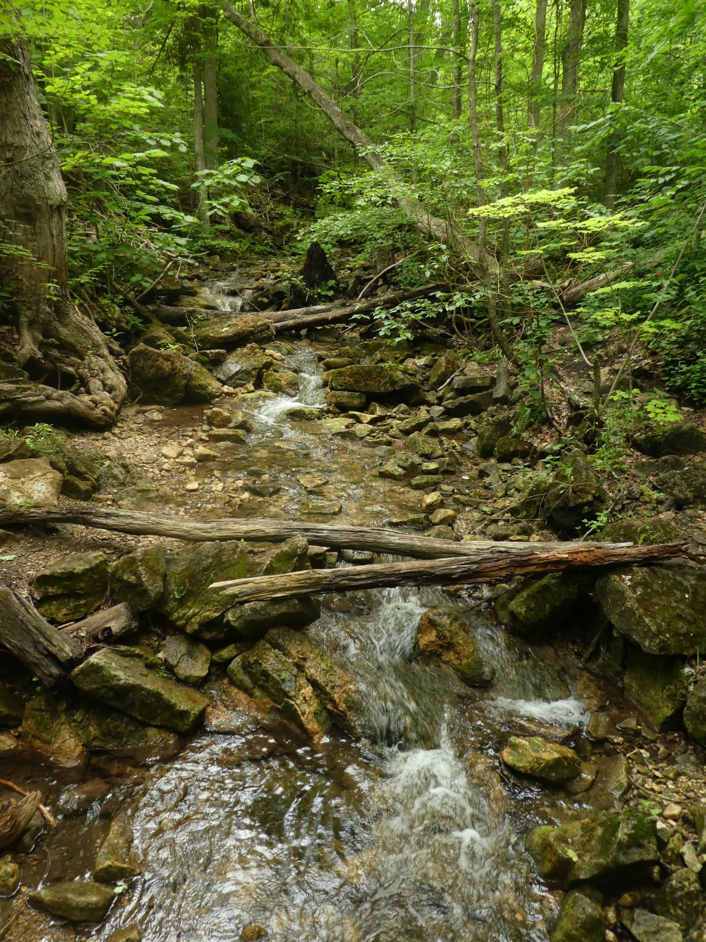
There are so many trails here that it’s hard to choose where to go. But this hike will take us down the main trail to the Side Trails of Duff Pit, Reservoir, Trafalgar Rd and Great Esker to the main trail and Maureen Bennett Side Trail and finishing on the Bennett Heritage Trail. Bring bug spray/bug net and plenty of water.
Get Started on Your Citizen Scientist Badge with iNaturalist
https://hikes.brucetrail.org/event/get-started-on-your-citizen-science-badge-with-inaturalist-2/Sorry, the registration cut-off time for this hike has been reached.Not a member? Click here to join today!Hosting Club: Caledon Hills
Category: Nature Walks
Location (Google Maps): Bruce Trail parking Lot at Riverside Woods, 713377 1st Line EHS, Mono.Driving directions:
From Hwy # 10 north of Orangeville, turn east on to Hockley Rd. Drive for 1.1 km. Continue straight onto Side Road 5 for 1.6 km. Turn left onto 1st Line EHS for 900 meters. Continue straight into the parking lot.***DO NOT TAKE 1ST LINE EHS SOUTH FROM HOCKLEY ROAD. It is not maintained. Google maps may suggest this impassable route
Hike Leader(s): Leslie Bissegger Click here to contact Hike Leader(s)
Pace: Leisurely – 3 km/hour or less
Terrain: Moderate – some hills and/or some poor footing
Distance: 3-5 kmDescription
If you can take pictures on your phone, this day will get you well started in earning your Citizen Scientist Badge from the Caledon Hills Club. This leisurely 3-5 km Nature Walk will include instruction in how to use or improve your use of iNaturalist. iNaturalist data is used to collect biodiversity data that can be used by land stewards, property owners and conservation staff at the Bruce Trail Conservancy.Wear comfortable, sturdy shoes, bring sunscreen, bug spray, water and a phone for taking photos. A back-up battery charger may be useful.
Optional: Bring a picnic lunch to enjoy with the group after the hike and have a chance to ask questions and compare notes.
When you register for the hike, we will email you instructions on how to download and set up your iNaturalist account to be ready the day of the hike .
No dogs please
Details on the Citizen Scientist Badge can be found here https://caledonbrucetrail.ca/hiking/club-badges/citizen-scientist-badge/
Badges will be available after the hike for those who qualify ($5 )
Urban Walk: Waterfront Trail 4/11 – Parklawn
https://hikes.brucetrail.org/event/urban-walk-waterfront-trail-4-11-parklawn-3/Sorry, the registration cut-off time for this hike has been reached.Not a member? Click here to join today!Hosting Club: Toronto
Category: Urban Walk
Location (Google Maps): Toronto Waterfront Trail WestHike Leader(s): Brian Rideout Click here to contact Hike Leader(s)
Pace: Moderate (3-4 km/hr)
Terrain: Flat
Distance (km): 9.1 kmDescription
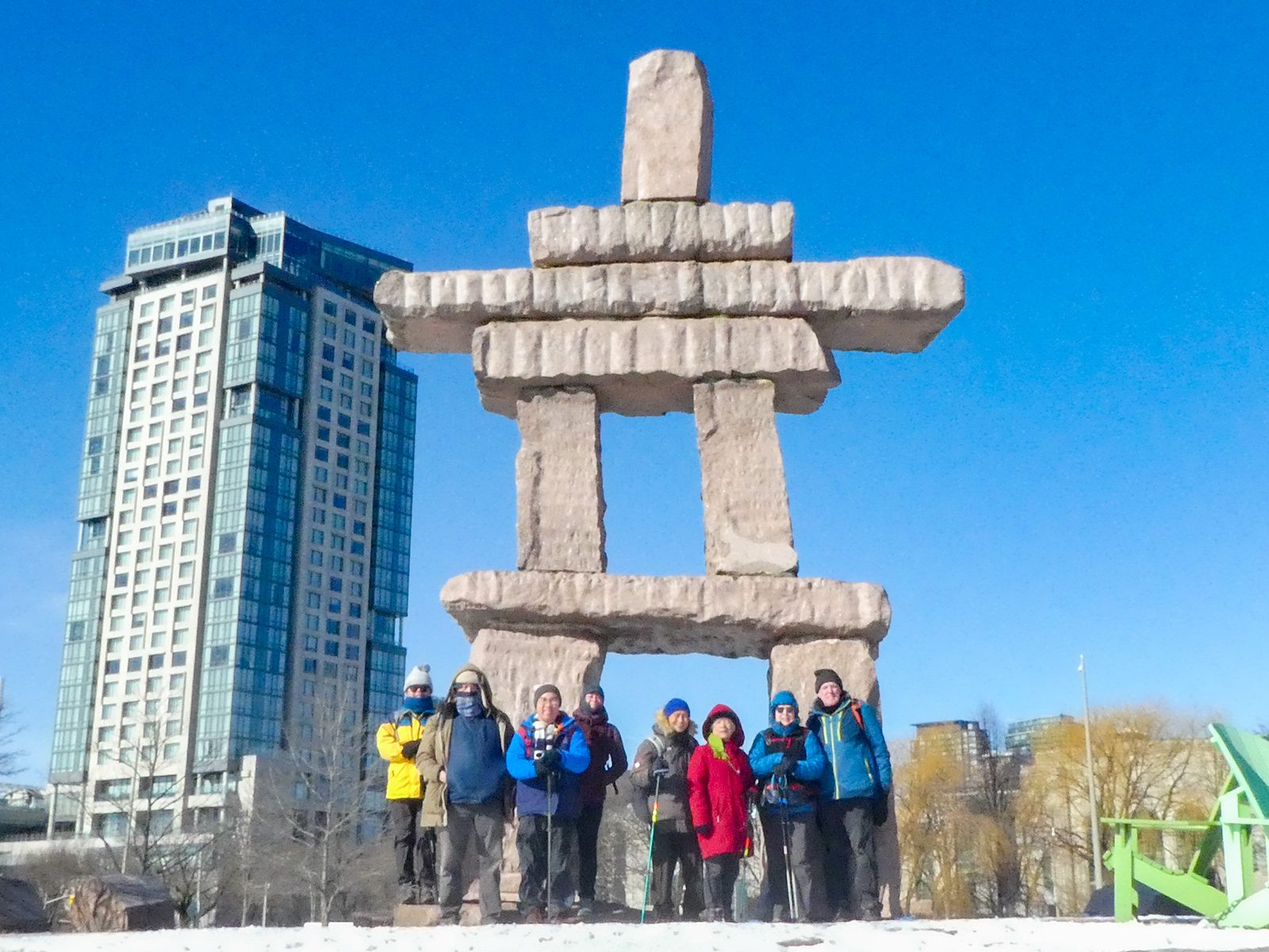
Please join me at Old Mill Station no later than 9:12 am. We will take the 66 bus departing 9:27 am, arriving 9:40 am. If you want to meet us at Parklawn and Lakeshore, please be there by 9:40 am. We start hiking at 9:50 am.We will hike east along the lake to Spadina. The estimated distance is 9.1 km. Here is an online map of our route Parklawn to Spadina
Bring a snack, at least 2 liters of water, sun screen and bug spray