
The BTC office will be closed on Mon. Oct. 12 for the holiday. Thank you for your understanding.
Hike Schedule
Join us for a hike! Registration required.
All hikes available to BTC members. Some hikes are open to non-members.
See Refund Policy for Paid Hikes >
TIP: The calendar view displays up to 7 hikes on a day, but often there are more. Click “View more events” to see them all.
Niagara
Iroquoia
Toronto
Caledon Hills
Dufferin Hi-Land
Blue Mountains
Beaver Valley
Sydenham
Peninsula
All Clubs
Show Filters
Categories
Reset Filters
- 03May 3, 2026
Sydenham Bruce Trail E2E Run - Day 2 of 8 Only
https://hikes.brucetrail.org/event/sydenham-bruce-trail-e2e-run-day-2-of-8-only/Sorry, the registration cut-off time for this hike has been reached.Not a member? Click here to join today!Hike open to BTC Members only.
Hosting Club: Sydenham, Peninsula
Category: Sydenham E2E Trail Run
Location (Google Maps): Day 2 of the E2E Trail Run of the Sydenham Bruce Trail section. Meeting at Lindenwood Rd. BTC Parking LotHike Leader(s): Margie Gloade; Natalie Mechalko; Shawn Radcliffe Click here to contact Hike Leader(s)
Pace: Fast (5.5 – 7.0 km/h+): A quick pace maintained by experienced hikers or trail runners.
Terrain: Difficult: Steep ascents/descents, rocky scrambling, and some rugged escarpment paths.
Distance: About 22kmDescription
This is a single-day registration – Day 2 of 8.The Sydenham Bruce Trail Club (SBTC), in partnership with the Peninsula Bruce Trail Club (PBTC), is excited to offer its first-ever trail running Sydenham End-to-End series in 2026. Join the fun for one of the eight days in this trail running series! The trail running Sydenham E2E series will take place over 4 weekends and 8 days, starting at 7:30am. Below is the start and end location and estimated distance for this day (subject to change slightly). The group will meet at the end location, and carpool to the start of each day’s route. You are expected to participate in shuttling vehicles.
Please carefully read the details below to understand the logistics, costs, important notes, and fitness required for this challenge.
Sunday, May 3, 2026: Graham’s Hill Rd BTC Parking to Lindenwood Rd BTC Parking; ~22km.
- When you register here, you are registering for only one day in the series. (You also have the option of registering for the whole series for $60 even if you aren’t able to make all eight days).
- These are group trail runs. It is not a race. It is not a hike. There may be a couple different pace groups that naturally form, but you will be expected to stay with a group and wait to regroup at key locations. Runners are expected to remain between the lead runner and the sweep at all times. Anticipate each day to be running for about 3+/- hours, at a pace ranging from 7-9 min./km.
- Participants are expected to have some experience trail running as this is difficult terrain. There are also some roads, and some active farm fields. In some locations throughout Sydenham, trail running will not be permitted near livestock. On roads, runners are expected to follow standard Highway Traffic Act regulations, crossing safely and running on the shoulder, in single file, facing oncoming traffic.
- Mandatory gear includes a whistle and minimum 250ml of water carrying capacity. Trail runners will need to carry their own water and fuel.
- At approximate mid-way points each day, there will be volunteer support arranged so you can fill up water bottles. Some snacks (e.g. oranges, bananas, pretzels, cookies, water) will be provided but please plan to be self-sufficient.
- Exercise care and caution and common sense on trails, especially when passing other trail users. Let others know you are coming and that you intend to pass. Headphones/earbuds are not permitted while participating in this group run.
- Participants must be age 16 years or older.
- Dogs are not permitted.
- This trail run is for BTC members only. To become a member, click here: https://brucetrail.org/.
- The designated meeting points will not incur any personal parking fees but parking space is limited. Participants are encouraged to car pool whenever possible.
The single day fee is $20. This fee covers snacks, vehicle shuttle, volunteer support, and a donation to the PBTC hike program. There is also an option to register for the whole series ($60).
As per BTC policy, no refunds will be considered 30 days before the series starts (not after April 1, 2026).
The trail run will go ahead rain or shine, however, in extremely inclement weather, a date may be cancelled and rescheduled, ideally prior to the May 31st finish date.
Rainbow Hike
https://hikes.brucetrail.org/event/rainbow-hike-2/Sorry, the registration cut-off time for this hike has been reached.Not a member? Click here to join today!Hosting Club: Iroquoia, Toronto
Category: Rainbow Hike
Location (Google Maps): Meet at the parking lot on 22nd Sideroad.Hike Leader(s): Anita Bergsma Click here to contact Hike Leader(s)
Pace: Leisurely – 3km/hr or less, Medium – 3 to 4 km/hr
Terrain: Easy – Mostly flat and usually good footing
Distance: 10 KmsDescription
Bruce Trail Rainbow HikeCelebrate the beauty of the Bruce Trail and the spirit of community on our Rainbow Hike! 🌈🥾 Join us for a welcoming group hike along one of Ontario’s most scenic sections of the Bruce Trail. Whether you’re a seasoned hiker or just getting started, this event is all about enjoying nature, meeting new people, and sharing a positive outdoor experience together.
What to Expect
- A guided group hike along a picturesque section of the Bruce Trail
- Beautiful forest paths, escarpment views, and fresh spring air
- A friendly, inclusive atmosphere where everyone is welcome
- Opportunities to connect with fellow hikers and outdoor enthusiasts
Hike Details
- Distance: Approximately 10 km
- Pace: Easy to moderate, with plenty of breaks
- Terrain: Mixed forest trails with some gentle elevation changes
- Duration: About 2–3 hours
What to Bring
- Comfortable and appropriate hiking shoes or boots
- Water and light snacks
- Weather-appropriate clothing
- Your positive energy and rainbow spirit! 🌈
Whether you come solo or with friends, the Rainbow Hike is a chance to explore nature, celebrate diversity, and build community on the trail.
The rainbow badge will be provided at the end of our hike.
Car Hike: Jefferson Forest and Bond Lake (Richmond Hill)
https://hikes.brucetrail.org/event/car-hike-jefferson-forest-and-bond-lake-richmond-hill-10/Sorry, the registration cut-off time for this hike has been reached.Not a member? Click here to join today!Hosting Club: Toronto
Category: Car Hike
Location (Google Maps):1245 Bethesda Side Rd, Richmond Hill, ON L4E 1A2 ( Bethesda Trail Head Parking lot)
Hike Leader(s): Amir Alemohammad Click here to contact Hike Leader(s)
Pace: Moderate (3-4 km/hr)
Terrain: Flat, Hilly, Level 2 (Intermediate – some hills and uneven surfaces, rocks and roots underfoot)
Distance (km): 14-15 kmDescription
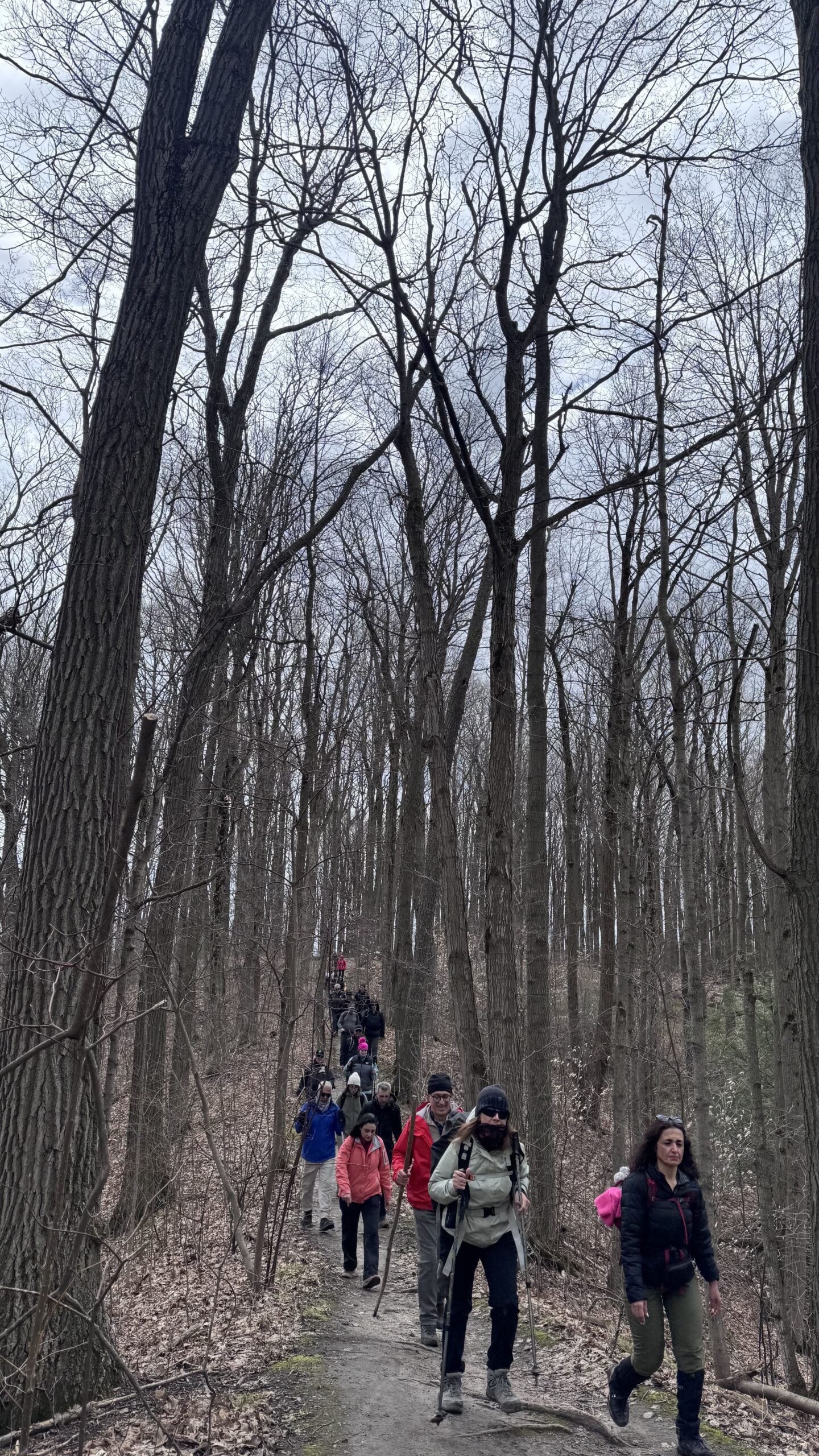
Let’s roll the hills of the Jefferson Forest and around the Bond Lake. Every week we hike in Jefferson Forest, located in the heart of Richmond Hill, it boasts numerous hiking trails. This 3.5 hour hike can range from 14 to 15 kilometres, depending on the weather conditions. Remember to bring water, snacks, hiking boots, poles, and your camera. Not recommended for beginners. Park in the free Bethesda parking lot and avoid parking along the road. Dress appropriately for the weather. Difficulty Level: 2 (Moderate).Please arrive @8:15AM for start of 8:30AM.
This is a joint hike with the Oak Ridges Trail Association (ORTA).
what3words:
https://w3w.co/twisting.mailer.awakes
Sunday Side Trails / Colpoys Bluff and Wicher Side Trails
https://hikes.brucetrail.org/event/sunday-side-trails-colpoys-bluff-and-wicher-side-trails/Sorry, the registration cut-off time for this hike has been reached.Not a member? Click here to join today!Hosting Club: Peninsula
Category: Peninsula Blue Series
Location (Google Maps): Bluewater Park, Wiarton. Meet at main parking lot where washrooms are located.Hike Leader(s): Barbara Reuber Click here to contact Hike Leader(s)
Pace: Medium (3.0 – 4.5 km/h): A comfortable pace for most hikers with steady progress.
Terrain: Easy: Flat forested sections or lowland trails.
Distance: 13 kmDescription
Sunday Side TrailsPeninsula BTC is offering a series of hikes covering all of the side trails on the Peninsula section of the Bruce Trail. These hikes are a great opportunity for those who want to do some hiking but don’t want to commit to a full end-to-end; for those who have completed an end-to-end and want to explore more of the beautiful trails on the Peninsula and for locals and visitors who want to get out on the trail on the weekend.
The series will include 27 hikes on Sundays (and maybe the odd Saturday) over 2026 and 2027, covering more than 150 km of side trails or 78 trails! We will be offering hikes on a roughly biweekly basis, with hikes posted approximately two months in advance. The hikes will generally be loop hikes, although car shuttling may be required for a few hikes. Register for each hike individually, no need to commit to all 27 hikes!
For those who would like to earn the Peninsula Side Trails badge, these hikes provide a chance to join a group for some or all of the side trail hikes.
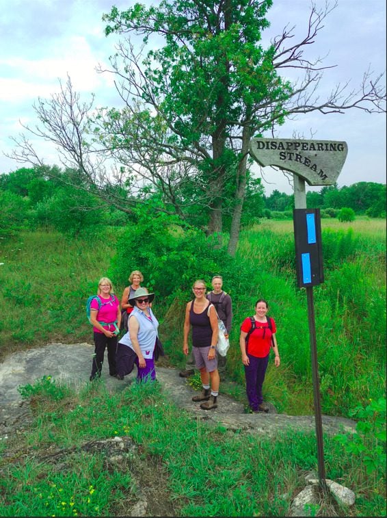
This hike includes 5 side trails featuring the Wicher and Colpoys Bluff Side Trails and three small connecter trails; Crawford Drive, Gatis and Mallory Beach Side Trails. Much of the hike will follow an old logging road through forest and meadows, past the disappearing stream and occasionally out to the main trail where we will have some views of Colpoys Bay.
Hikers should be prepared for cool weather and possible wet trails. Bring a lunch, water and snacks. Hike leader will contact registered hikers one week before the hike.
If you would like to be notified when the side trail hikes are posted, go to the bottom of the Hikes page on the PBTC website to sign-up for hike notifications.
Scotsdale Farm Great Esker
https://hikes.brucetrail.org/event/scotsdale-farm-great-esker-2/Sorry, the registration cut-off time for this hike has been reached.Not a member? Click here to join today!Hosting Club: Iroquoia
Category: General Hike
Location (Google Maps): Scotsdale Farm main parking lotHike Leader(s): Karen Bergmann Click here to contact Hike Leader(s)
Pace: Medium – 3 to 4 km/hr
Terrain: Moderate – Some hills and/or some poor footing
Distance: 11 kmsDescription
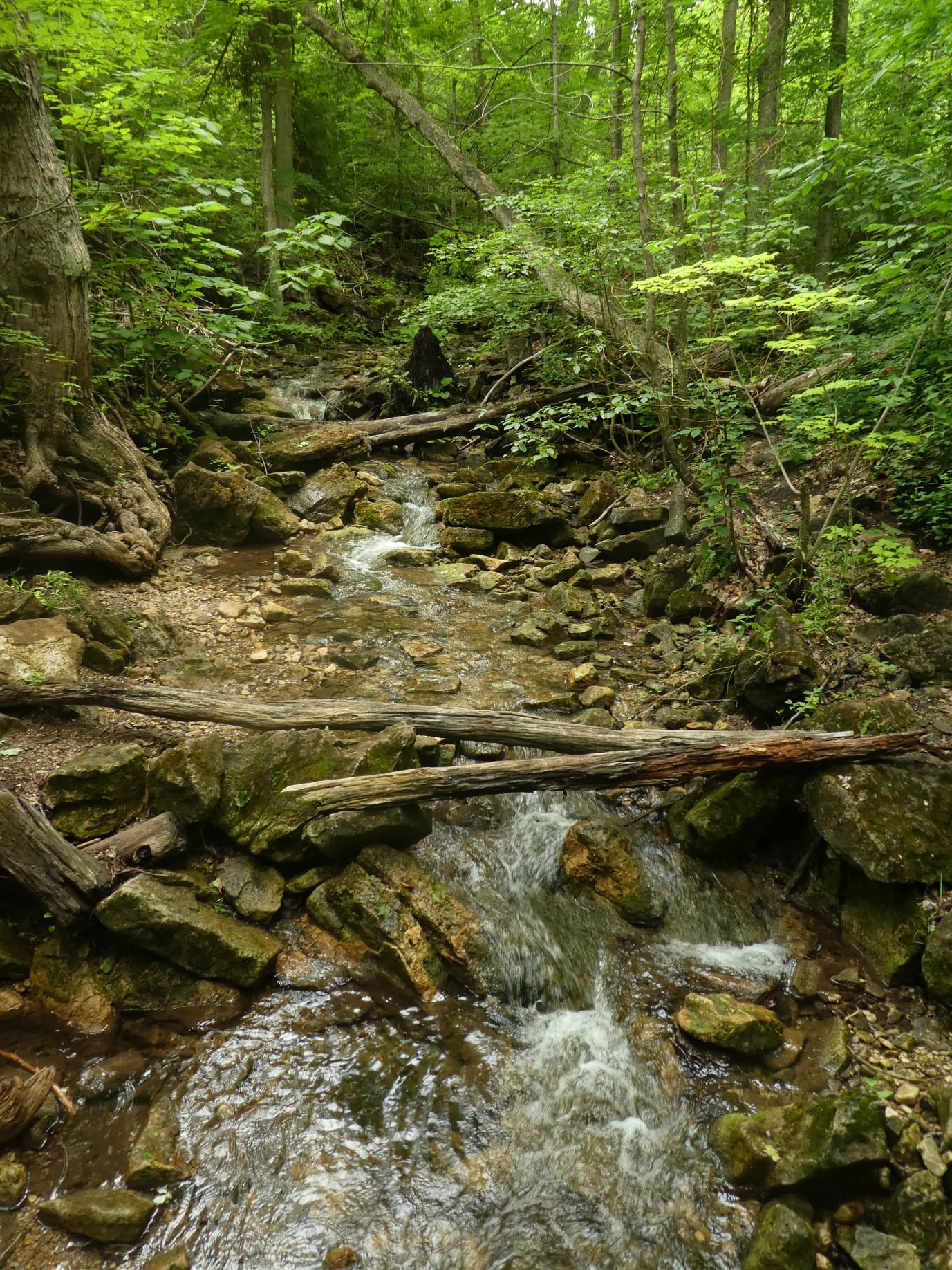
Meet in the main parking lot at Scotsdale Farm at 9:15 am. We’ll hike the Bennet Heritage Side Trail to the main trail and around the Great Esker Side Trail, back to the main trail and the Maureen Smith Side Trail for a total of about 11 kms. There are some hills. Bring water and a snack.
10:00 am Side Trail Challenge #3 - Wetland Ridge, Niagara College, Margaret Kalogeropoulos
https://hikes.brucetrail.org/event/1000-am-side-trail-challenge-3-wetland-ridge-niagara-college-margaret-kalogeropoulos/Sorry, the registration cut-off time for this hike has been reached.Not a member? Click here to join today!Hike open to BTC Members only.
Hosting Club: Niagara
Category: Loop
Location (Google Maps):Woodend Conservation Area. Park in the first parking area off Taylor Road
Hike Leader(s): Robin Garrett Click here to contact Hike Leader(s)
Pace: Fast 5+ km/hr
Terrain: Moderate: some hills and some poor footing
Distance: 7 kmDescription
Take the Side Trail Challenge and hike all 24 of Niagara’s side trails in 9 hikes to earn the Side Trail Badge.Meet at Woodend Conservation Area. Hike to the Wetland Ridge side trail, in and out along the Niagara College side trail; back along the Wetland Ridge side trail until it meets the main trail; Margaret Kalogeropoulos side trail and back to the main trail. Required photos include: outdoor classroom, First Nations, Métis & Inuit garden, constant gardener bench, wood duck nesting box, lime kiln ruins, and Margaret Kalogeropoulos side trail sign.
Bring poles, dress according to the weather, and bring water and a snack.
Urban Walk: Sherwood Park/Sunnybrook Park
https://hikes.brucetrail.org/event/urban-walk-sherwood-park-sunnybrook-park-6/Sorry, the registration cut-off time for this hike has been reached.Not a member? Click here to join today!Hosting Club: Toronto
Category: Urban Walk
Location (Google Maps):NE Corner Yonge & Lawrence (by subway exit)
Hike Leader(s): Tom Swales Click here to contact Hike Leader(s)
Pace: Moderate (3-4 km/hr)
Terrain: Hilly, Level 2 (Intermediate – some hills and uneven surfaces, rocks and roots underfoot), Variable
Distance (km): 12 KMDescription
Join us for a hike through scenic ravines from Yonge & Lawrence to Sunnybrook & Serena Gundy parks to end at Laird Station of TTC Line 5. Hopefully there will be the chance to enjoy spring wildflowers in the woods of Sunnybrook Park.
Trillium Hunt - Family Friendly Hike - Kinsmen to Quarry
https://hikes.brucetrail.org/event/trillium-hunt-family-friendly-hike-kinsmen-to-quarry/Sorry, the registration cut-off time for this hike has been reached.Not a member? Click here to join today!Hosting Club: Niagara
Category: Leisurely
Location (Google Maps): Kinsmen Park, main parking lot, Beamsville 3820 Frost Rd, Beamsville, ON L0R 1B7Hike Leader(s): Angela Lytle Click here to contact Hike Leader(s)
Pace: Leisurely <3 km/hr
Terrain: Moderate: some hills and some poor footing
Distance: 3-4 kmDescription
Join us for a leisurely, family-friendly Trillium Hunt hike along the Niagara Bruce Trail!We will meet at the main parking lot inside Kinsmen Park in Beamsville and head towards Quarry Rd along the Bruce Trail to search for trillium and other short-lived spring ephemeral woodland flowers blooming right now such as trout lilies, bloodroot, jack-in-the-pulpit, dutchman’s breeches and more.
This is a leisurely-paced hike that is family-friendly. We will take our time looking for and at flowers. The trail is rocky and has some ups and downs along the escarpment that may pose challenges for anyone with mobility limitations. Good hiking shoes are a must and hiking poles help navigate the ups and downs.
Children are welcome accompanied by a responsible adult. Please arrive at 12:50 to check in with the hike leader so we can set out at 1 sharp. There is a parking lot inside Kinsmen Park with free parking but please note there are no bathrooms along this trail.

Frontenac Provincial Park - Perimeter Challenge, Check In May 3, Check Out May 6, 3 days of hiking/multiday trip
https://hikes.brucetrail.org/event/frontenac-provincial-park-perimeter-challenge-check-in-may-3-check-out-may-6-3-days-of-hiking-multiday-trip/Sorry, the registration cut-off time for this hike has been reached.Not a member? Click here to join today!This is a Multi-Day Hike
You are signing up for the following dates and times:
2026-05-03 at 14:00
2026-05-04 at 07:30
2026-05-05 at 07:30
2026-05-06 at 07:30Hosting Club: Iroquoia
Category: Special Event
Location (Google Maps): Accommodation is at Snug Harbour Resort.
Hiking is in Frontenac Provincial Park, a short distance away from the cabins.Hike Leader(s): Heather Zrini Click here to contact Hike Leader(s)
Pace: Brisk – 4 to 5 km/hr, Medium – 3 to 4 km/hr
Terrain: Dependent on Conditions, Moderate – Some hills and/or some poor footing, Strenuous – Hilly with steep climbs and some poor footing
Distance: 12.5-23.6km dailyDescription
This is a special 4 day, 3 night trip to Frontenac Provincial Park. During this hiking event, we will be hiking the perimeter of Frontenac Provincial Park in three sections and it is called the Frontenac Perimeter Challenge. It is organised by the Friends of Frontenac Provincial Park each year. The Park is about 3.5 hours east of Toronto and an hour north of Kingston. The 3 sections are from 12.5-23.6km in length. If you have access to the Frontenac map, you will find it helpful so that everyone can follow along and help with way-finding. The cost for registering for the Challenge in 2025 was $10. If you are a member of the Friends of Frontenac, the fee is free. This includes a badge for your first challenge. Registration for the Challenge starts on April 1 and the hikes must take place during the month of May. Proof of the hikes is to be submitted in the form of a GPS track and submitted no later than May 31. If you would like the badge mailed to you, a self-addressed stamped envelope must be left at the park office. If they have them available, they may give them to us on our last day.Accommodation is at Snug Harbour Resort, a short distance from the park. There are several two and three bedroom cabins available for May 3-6. http://www.snugharbour.on.ca. We will arrive on Sunday, May 3 after 12pm but won’t hike until Monday morning. The cabins are located on a lake and there is access to canoes and kayaks. Check out will be on Wednesday, May 6 by 10am. You are welcome to come earlier or stay later at your own expense. Please contact Rob at relax@snugharbour.on.ca. Let Rob know you are with the Bruce Trail Perimeter Challenge Group. Please review the list of the items you must bring with you for your stay at the cabins and coordinate the list with the other people sharing your cabin.
Once you book a cabin, please share your name and your cabin number with me so that I can share it with everyone else who registers for the Challenge. It will be up to you, as the cabin coordinator, to pay for the cost of the entire cabin and to collect from everyone else who is sharing the cabin. The rate is $120 per cabin plus tax, per day (paid by e-transfer). A $180 deposit is required at the time of booking which should be paid by the cabin coordinator. The cabin coordinator will collect from everyone else who is sharing the cabin. Unfortunately, we have had to implement this rule because of late cancellations which can leave the cost of the cabin in the hands of the people who are left sharing the cabin. If you need to cancel after registering, we will attempt to fill your spot and cost of the cabin with another person but there are no guarantees.
Parking fees at the Frontenac Provincial Park also apply. For our hikes, we will be carpooling from Snug Harbour over to the park and then shuttling to the trailhead. We will have the same driver and carpooling groups for the first two days. Since we will be leaving from the park on Day 3, everyone will have to drive. We will need a Day Use reservation for the first day and all vehicles will need a reservation for the last day of hiking as most people drive straight home after our last hike. Borrowing a park pass from your local library, if available, or purchasing an annual pass, is encouraged. Please Note: Paid parking is only required on our first day and our last day of hiking – May 4th and 6th. There are no additional fees for daily usage of the park.
Fees for the parking reservation and a contribution for gas is a shared expense for the people in the shuttle.
More information will be provided closer to the date to those who register.
- 04May 4, 2026
EASY DOES IT HIKE Centennial Park, Dunnville
https://hikes.brucetrail.org/event/centennial-park-dunnville/Sorry, the registration cut-off time for this hike has been reached.Not a member? Click here to join today!Hosting Club: Niagara
Category: Leisurely
Location (Google Maps): Meet at Sobeys Hwy #20 Fonthill, 9am. We will carpool to Centennial Park, 998 Robinson Rd., Dunnville, Ont. We’ll hike the Thompson Creek Eco Centre loop. Option: have lunch at Passmores Diner (a quaint 40’s style diner),174 Queen St. Dunnville.Hike Leader(s): Diane Marlatt Click here to contact Hike Leader(s)
Pace: Leisurely <3 km/hr
Terrain: Easy: mostly flat, good footing
Distance: 6 kmDescription
Seven Rivers Series - Hike 1 of 7
https://hikes.brucetrail.org/event/seven-rivers-series-hike-1-of-7/Sorry, the registration cut-off time for this hike has been reached.Not a member? Click here to join today!Hosting Club: Caledon Hills
Category: General
Location (Google Maps): Nottawasaga River, Caledon Hills Section.
Meet at Hockley Road parking, east of km 61.1Hike Leader(s): Nancy Mooney Click here to contact Hike Leader(s)
Pace: Medium – 3 to 4 km/hour
Terrain: Moderate – some hills and/or some poor footing, Strenuous – hilly with steep climbs and some poor footing
Distance: 13 kmDescription
This is the first hike in the series and will loop through Hockley Valley Provincial Nature Reserve, following the Jeju Olle Friendship trail and three side trails.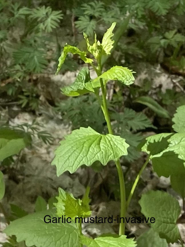
Share & Learn Invasive Species Merle Gunby loop
https://hikes.brucetrail.org/event/share-learn-invasive-species-merle-gunby-loop/Sorry, the registration cut-off time for this hike has been reached.Not a member? Click here to join today!Hosting Club: Sydenham
Category: Botany Hike
Location (Google Maps): Near Springmount, ON, 717875 Hwy 6, Owen Sound, ON N4K 5N7, Canada, at Owen Sound Transportation Company office/Pottawatomi Conservation Area parking lot.Hike Leader(s): Carol Graham-Mullin Click here to contact Hike Leader(s)
Pace: Leisurely: 3 km/h or less
Terrain: Easy: Mostly flat and good footing., There might be muddy sections., There might be sections with water on the trail.
Distance: 3 kmDescription
Have you ever wondered what makes a species “invasive” ? And why this is a concern for the Bruce Trail ? Join Fran and Carol on this “Share and Learn” educational hike as
we learn to identify commonly found invasive species along the Sydenham Bruce Trail. This is a leisurely loop hike with lots of opportunity to discover, photograph and learn together.
We will concentrate on identifying common offenders such as : European buckthorn, Garlic mustard, Wild chervil and also “garden escapees”such as Periwinkle, English Ivy and Goutweed.
And we will discuss why it is important to prevent, control and remove these plants from our trail environment. Please bring water, poles if necessary, and proper footwear. There may be muddy sections.Mt Nemo - North and South Loops
https://hikes.brucetrail.org/event/mt-nemo-north-and-south-loops/Sorry, the registration cut-off time for this hike has been reached.Not a member? Click here to join today!Hosting Club: Iroquoia
Category: General Hike
Location (Google Maps): Mt Nemo (main parking lot) off of Guelph Line just South of Lowville. Conservation Pass required or fee to park. Online reservation necessary for entry to the parking lotHike Leader(s): Karen Capindale-Smith Click here to contact Hike Leader(s)
Pace: Medium – 3 to 4 km/hr
Terrain: Moderate – Some hills and/or some poor footing
Distance: 6km +Description
We will be completing the North and South Loop trails of Mt Nemo with great views along the way from the Escarpment. Please dress in appropriate layers and bring water and a snack.Baked goods should be expected 🙂
Hike with Tai Chi
https://hikes.brucetrail.org/event/hike-with-tai-chi-2/Sorry, the registration cut-off time for this hike has been reached.Not a member? Click here to join today!Hosting Club: Niagara
Category: Loop
Location (Google Maps): Queenston Heights Parking Lot near the Bruce Trail Cairn. Paid parking. Best to look at the annual parking pass for Niagara Parks.Hike Leader(s): Margaret Northfield Click here to contact Hike Leader(s)
Pace: Medium
Terrain: Moderate
Distance: 6-7kmDescription
Seeking balance, calm and strength without high impact exercise? Join us for a short hike around Queenston Heights Park. Tai Chi Master, Mike Van Natter will instruct us on the benefits of Tai Chi as well as lead us through several Tai Chi movements along our way. - 05May 5, 2026
Long Haulers Hike Decew House
https://hikes.brucetrail.org/event/long-haulers-hike-decew-house/Sorry, the registration cut-off time for this hike has been reached.Not a member? Click here to join today!Hosting Club: Niagara
Category: Hike
Location (Google Maps):Decew House Thororold
Hike Leader(s): Alan Laver Click here to contact Hike Leader(s)
Pace: Fast 5+ km/hr
Terrain: Moderate: some hills and some poor footing
Distance: 10k+Description
This is our regular Tuesday Long Hike. Note the new location which will continue until May due to the muddy conditions in Shorthills. We will hike along the trails which may include Brock, 12 mile creek. Morningstar mill and/or Bert Lowe side trail. Dress for the weather and bring poles snack and drink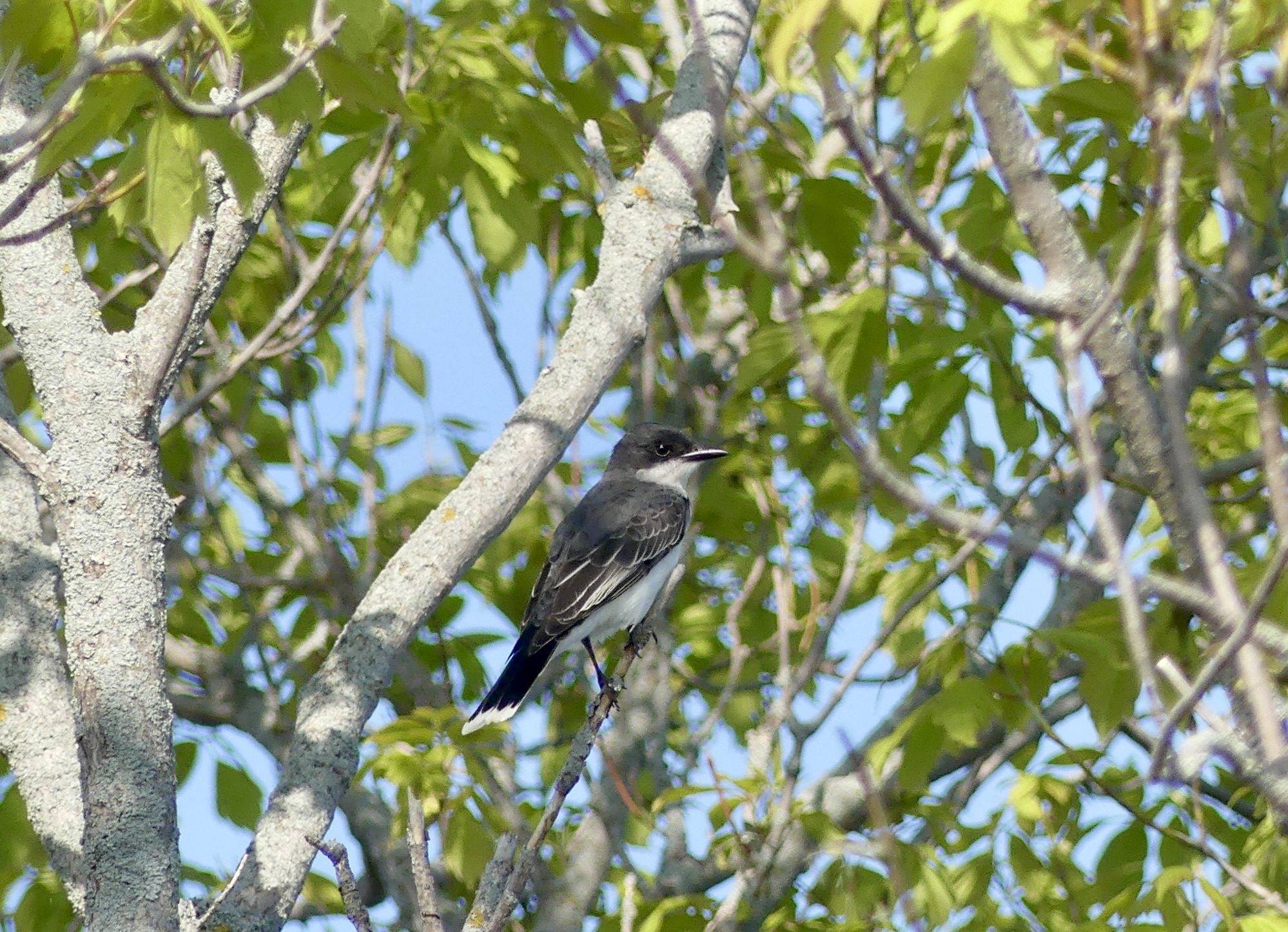
Car Hike: Spring Birding Hike
https://hikes.brucetrail.org/event/car-hike-spring-birding-hike/Sorry, the registration cut-off time for this hike has been reached.Not a member? Click here to join today!Hosting Club: Toronto
Category: Car Hike
Location (Google Maps): Limehouse – Meet at the parking lot opposite Limehouse Public School, on the south side of 22 Sideroad, just north of Fifth Line.Hike Leader(s): Janet Patterson Click here to contact Hike Leader(s)
Pace: Leisurely (2-3 km/hr)
Terrain: Variable
Distance (km): approx 3 – 4 kmDescription
Join BTC ecologist Mara McHaffie and members of the TBTC Biodiversity Team on a leisurely walk along the main trail and some side trails, listening and watching for birds returning from their southern wintering grounds. You need not be a bird expert – we welcome beginning birders! This area features a mix of open areas, thickets, and forest, so we anticipate encountering a good variety of species. The BTC’s protected natural areas, such as the one we will visit, aim to preserve the Escarpment’s unique biodiversity and provide nature-based solutions to addressing climate change.During the hike, we will discuss how you can use apps like iNaturalist, Merlin Bird ID and eBird to enhance your birding experience. If you haven’t done so already, please download these apps ahead of time, as cell service can be spotty at this location.
You may also want to record what you see as you earn points towards the TBTC Naturalist badge.
Along with your curiosity, please bring water and snacks/lunch. End time and distance we will travel are estimates, depending on weather, trail conditions and what we observe!Note that due to the slow pace and frequent stops, you may want to dress more warmly than you would for a faster-paced hike.
This hike is brought to you by the TBTC’s Biodiversity Team. We endeavour to promote the critical role we can all play in protecting and conserving the Niagara Escarpment.
Maximum 10 people
9:15 Short hike, Rotary Park, St. Catharines
https://hikes.brucetrail.org/event/915-short-hike-rotary-park-st-catharines-22/Sorry, the registration cut-off time for this hike has been reached.Not a member? Click here to join today!Hosting Club: Niagara
Category: In and Out
Location (Google Maps): Rotary Park, St. CatharinesHike Leader(s): janet davey Click here to contact Hike Leader(s)
Pace: Medium
Terrain: Moderate
Distance: 6 kmsDescription
Hike the trails in and around Rotary Park. Please bring hiking poles, water and appropriate footwear. Trails may be muddy at this time of year.Urban Walk: Valley View Park Thornhill
https://hikes.brucetrail.org/event/urban-walk-valley-view-park-thornhill-165/Sorry, the registration cut-off time for this hike has been reached.Not a member? Click here to join today!Hosting Club: Toronto
Location (Google Maps): Parking lot is off Sycamore Drive, East of Bayview , across Starbucks plaza
Bus 91 from Finch East station stops at Sycamore station.Hike Leader(s): MOHAMMAD AGHAMIRI Click here to contact Hike Leader(s)
Pace: Moderate (3-4 km/hr)
Terrain: Hilly, Level 2 (Intermediate – some hills and uneven surfaces, rocks and roots underfoot)
Distance (km): 6-7 kmDescription
We will explore Valleyview and Maple View parks, and walk along German Mill Creak, in return we stop in Huntington park and have snack under beautiful shed.Although this is considered an “Urban Walk”, you can expect some hills up and down and uneven surfaces with tree roots. Please bring hiking poles, Ice cleats water and snacks.
Tuesday Trekkers- Duncan to Metcalfe Crevice Loop
https://hikes.brucetrail.org/event/duncan-to-metcalfe-crevice-loop-3/Sorry, the registration cut-off time for this hike has been reached.Not a member? Click here to join today!Hosting Club: Beaver Valley
Location (Google Maps): Bruce Trail parking at km 33.3 on the edge of the 9th Sideroad in the Beaver Valley section, Map 25, Edition 31
Hike Leader(s): Kristina Rettie Click here to contact the hike leader.
Pace: Brisk, Medium
Terrain: Moderate, Some rocky footing, Some steep sections, Strenuous
Length of Hike: 10.5kmDescription
This is a loop hike that will follow the white blazed trail past Pinnacle Rock to the Metcalfe Crevice where you will have the choice of exploring the rocky gorge or taking a short rest. Once we are all back together we will continue on to the Chuck Grant side trail. This trail will loop us back to our cars.This time of year we can expect all types of trail conditions. Please be prepared with rain gear, icers and poles for those steep ascents and descents.
Bring water and a snack
Please no dogs
Text Kristina @ 519-410-9077 for morning of cancellations
Lavender to Black Bank Shuttle Hike
https://hikes.brucetrail.org/event/lavender-to-black-bank-shuttle-hike/Sorry, the registration cut-off time for this hike has been reached.Not a member? Click here to join today!Hosting Club: Dufferin Hi-Land
Category: Tuesday Hike
Location (Google Maps): Meet at roadside parking on Centre Rd between 20 Sideroad and County Rd 21 (Dufferin Hi-Land Map 21, 46.7 – Edition 31) by 9:30. We will then shuttle north to Lavender Cemetery (54.9) to begin our hike. Carpool option: Meet at Super Burger, corner of Hwy 10 and Prince of Wales Rd, at 8:45.Hike Leader(s): Julie Daley, Les Babbage, Tony Evangelista, Inge Eckerich Click here to contact Hike Leader(s)
Pace: Medium
Terrain: Dependent on Conditions, Moderate
Distance: Long Hike 8.2 km, Short Hike 6.7 kmDescription
On this springtime hike, we will traverse along roads, road allowances, open fields, forests, a ravine and a couple of rushing rivers, situated at the north section of Dufferin Hi-Land trails. Please come prepared for the weather and bring lunch/snacks.Celebrating Spring Flowers and Cinco de Mayo Hike
https://hikes.brucetrail.org/event/celebrating-spring-flowers-and-cinco-de-mayo-hike/Sorry, the registration cut-off time for this hike has been reached.Not a member? Click here to join today!Hosting Club: Caledon Hills
Category: Tuesday Hikers
Location (Google Maps): Parking Area – north of km 46.8, found 380 m north of the Main Trail crossing on Pretty River Road.Hike Leader(s): Doris Harper Click here to contact Hike Leader(s)
Pace: Medium – 3 to 4 km/hour
Terrain: Moderate – some hills and/or some poor footing
Distance: 12 kmDescription
From the parking lot on Pretty River Rd., we will hike the trail into Pretty River Valley. There is a climb up the valley and from there we will hike the Pretty River Side Trail, Main Trail and other side trails. We will hike to the highest point of the Bruce Trail where we will stop for a snack and then return to the cars.Bring water and snacks, and a ‘sit-upon’. The trails may be muddy in spots, poles, and First Aid Kit recommended .
Fireman's Park
https://hikes.brucetrail.org/event/firemans-park-3/Sorry, the registration cut-off time for this hike has been reached.Not a member? Click here to join today!Hosting Club: Niagara
Location (Google Maps): Fireman’s Park 2275 Dorchester Rd, Niagara Falls, ON L2J 4L6 LOWER LOT
Hike Leader(s): Marion Hanover Click here to contact Hike Leader(s)
Pace: Medium 3- 4 km/hr
Terrain: Moderate: some hills and some poor footing
Distance: 6 kmDescription
This is an easy evening hike. Great for newcomers. Meet at the upper parking lot at 5:15pm to be ready for hiking at 5:30pm - 06May 6, 2026
Birding with Brian - Glassford Wetland
https://hikes.brucetrail.org/event/birding-with-brian-glassford-wetland/Sorry, the registration cut-off time for this hike has been reached.Not a member? Click here to join today!Hike open to BTC Members only.
Hosting Club: Peninsula
Category: Birding
Location (Google Maps): Crooked Toe Road and Boundary Road parking areaHike Leader(s): Pat Turner Click here to contact Hike Leader(s)
Pace: Leisurely (2.0 – 3.0 km/h): A relaxed pace with frequent breaks and a focus on enjoyment.
Terrain: Moderate: Rolling hills, mild slopes and rocky paths.
Distance: ~3 kmDescription
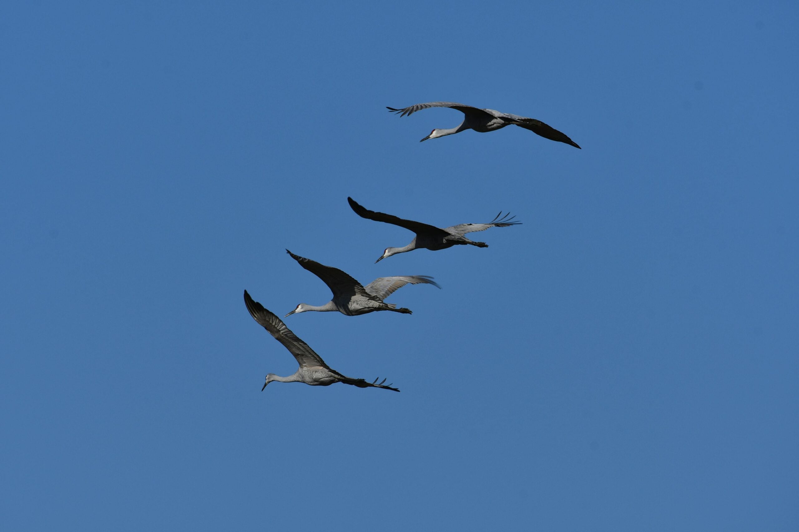
Brian Popelier, BTC Ecologist, will lead us on a birding adventure at the Glassford Wetland to
observe the spring arrival of some of our feathered friends. This is a leisurely paced walk-
stop-watch-listen hike. The distance will be determined by our bird observation opportunities.
This property consists of a variety of habitats including forested areas, open meadows, hay fields
and wetlands. A large pond is surrounded by well-developed open aquatic, marsh and willow-
dogwood thickets which provide a diverse array of migratory and breeding birds, including
waterfowl and marsh birds. At least 94 bird species have been recorded on the property. Notable
species observed include Sandhill Crane, Sora, Osprey, Bobolink and Virginia Rail. At least 13 warbler
species have been observed during spring and fall migration.
This is a family friendly hike – all birding experience levels welcome. It is a perfect hike to get started on one of the PBTC Birder Badges:
https://pbtc.ca/badges/Please carpool if possible as parking is limited.
Bring a light backpack to carry your water bottle, snacks, camera and binoculars. Weather at this
time of year can still be unpredictable – dress according to the weather conditions. Sturdy hiking
shoes/boots, gators and long sleeved protective clothing are recommended
No rain date.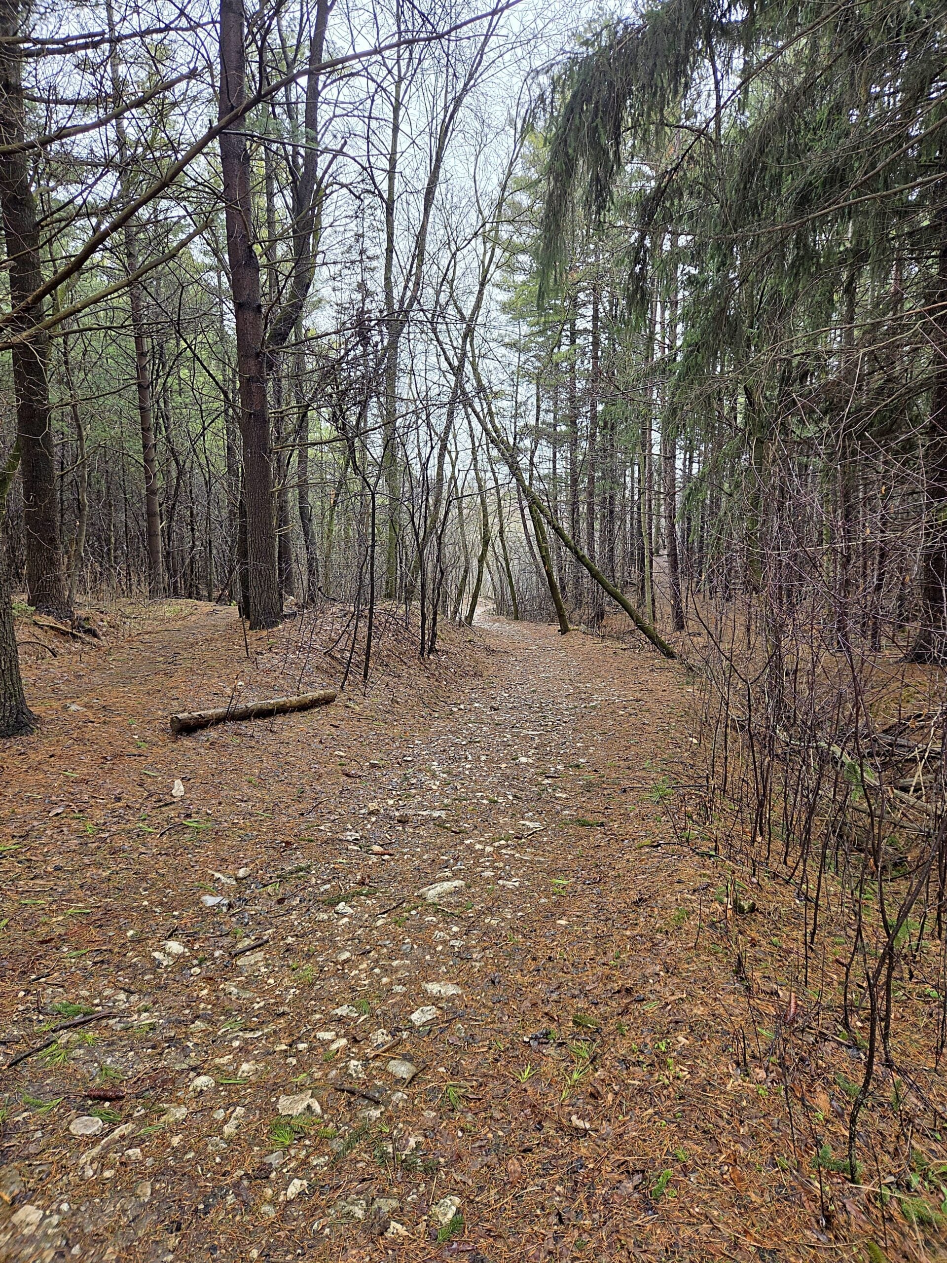
Waterloo Region Wednesday Walks
https://hikes.brucetrail.org/event/waterloo-region-wednesday-walks/Sorry, the registration cut-off time for this hike has been reached.Not a member? Click here to join today!Hosting Club: Caledon Hills, Peninsula
Category: Nature Walks
Location (Google Maps): The Beer Store, 875 Highland Rd. W, Kitchener, ON. What3Words: dozen.takover.saysHike Leader(s): Daniel J Patterson Click here to contact Hike Leader(s)
Pace: Medium – 3 to 4 km/hour
Terrain: Easy – mostly flat and usually good footing
Distance: 10 kmDescription
Interested in hiking the Bruce Trail? Looking for a place to start? How about checking out Wednesday Waterloo Wayfarers? We will explore the urban, suburban and rural trails in the Waterloo Region including parts of the Avon, Guelph to Goderich, and Grand River trails. Speed: 3-3.5 km/hr. Distance 8-12 km. Most will be fairly flat, but some will involve hills. Bring at least 1 liter of water, sturdy hiking boots, snacks and a positive attitude! And hiking poles if you like.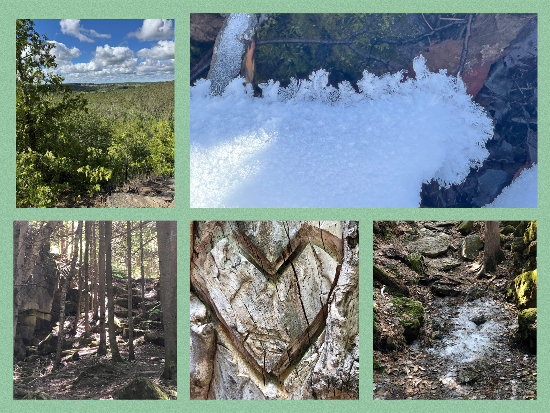
Signs of Spring
https://hikes.brucetrail.org/event/signs-of-spring/Sorry, the registration cut-off time for this hike has been reached.Not a member? Click here to join today!Hosting Club: Blue Mountains
Category: Organized Hike
Location (Google Maps): Tim Horton’s First Street, CollingwoodHike Leader(s): Claire Pearson Click here to contact Hike Leader(s)
Pace: Leisurely – 3 km/hr. or less
Terrain: Moderate – Some hills and/or some poor footing
Distance: ~4kmDescription
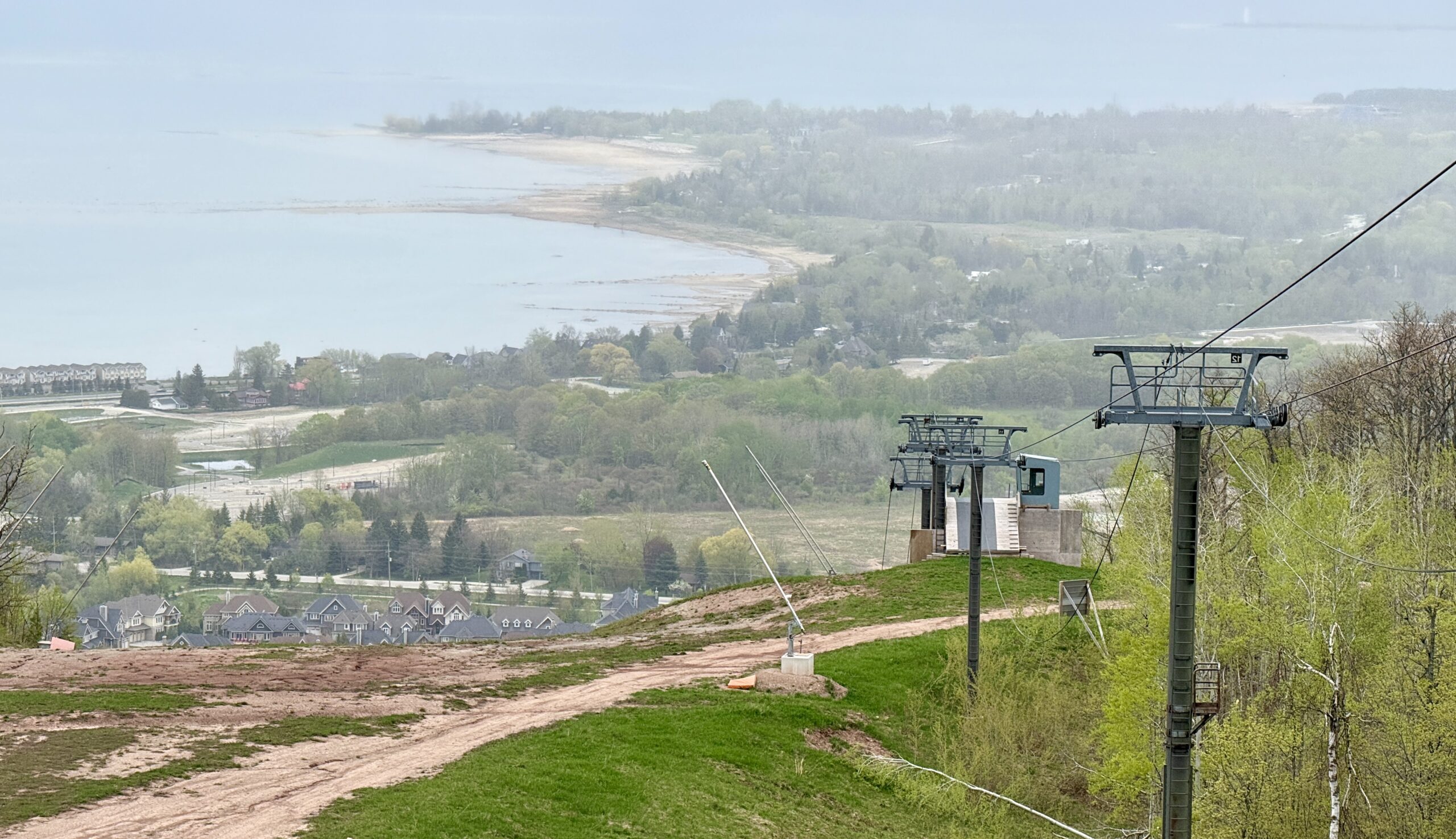
**Update: As of May 4th, there are still icy sections in the keyhole area. Grippers are highly recommended. Hiking poles are helpful but not required. It is paid parking in the lots, so please bring $4 to help compensate the driver.Enjoy a crisp morning exploring for “Signs of Spring” along the trail. We meet at 8:45am in the large parking lot behind Tim Horton’s on First Street. At 9am, we will carpool to the parking lot on 15/16 Sideroad in Singhampton where we will begin our loop hike of the Nottawasaga Bluffs. We will take in the sites at the Lookout and navigate the crevices to get to the Keyhole.
WEDNESDAY WALKERS - Start at the Very Beginning (of BV)
https://hikes.brucetrail.org/event/wednesday-walkers-start-at-the-very-beginning-of-bv-4/Sorry, the registration cut-off time for this hike has been reached.Not a member? Click here to join today!Hosting Club: Beaver Valley
Location (Google Maps): Park at the end of Maple Lane near BV Km 0.0, Map 24, Edition 31
Hike Leader(s): Margaret Yaraskavitch Click here to contact the hike leader.
Pace: Medium
Terrain: Moderate
Length of Hike: 5.0 kmDescription
This hike will be a there-and-back walk. Views from the edge of the Escarpment will show Collingwood and Nottawasaga Bay. We’ll pass Craigleith Ski Club and head towards a deep valley but then it is time to return. Often, views look different when walking in the opposite direction, promising another chance to experience wide open views of the shores of Nottawasaga Bay. Please bring water.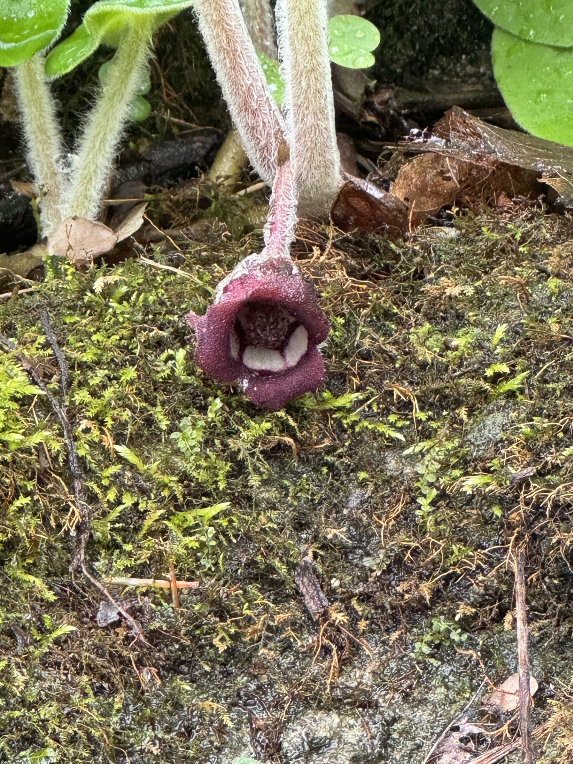
Crawford Lake Ramble/Wildflowers
https://hikes.brucetrail.org/event/crawford-lake-ramble-wildflowers/Sorry, the registration cut-off time for this hike has been reached.Not a member? Click here to join today!Hosting Club: Iroquoia
Category: Good Companions
Location (Google Maps): Crawford Lake Conservation Area. 3115 Conservation Rd. MiltonHike Leader(s): Anne Armstrong Click here to contact Hike Leader(s)
Pace: Leisurely – 3km/hr or less
Terrain: Moderate – Some hills and/or some poor footing
Distance: Approx. 7 km.Description
Please join in this favourite hiking area with its spectacular views across Nassagaweya Canyon towards Rattlesnake Canyon, its Meromictic and at this time of year its wildflower treasures which grown among the rocky parts of the escarpment. Expect one section of rocky terrain with tricky footing. Hopefully the boardwalk around the lake will have reopened. Please bring water, a snack, sunscreen and insect repellent. A reservation is necessary to park here through Halton Parks Reservation System. I will email the day before with my contact information should you need to cancel the morning of the hike.
Afternoon Hike - Duff Pit
https://hikes.brucetrail.org/event/afternoon-hike-duff-pit/Sorry, the registration cut-off time for this hike has been reached.Not a member? Click here to join today!Hosting Club: Iroquoia
Category: Afternoon/Evening Hikes
Location (Google Maps): Meet roadside on Hwy 7, just after the curve in the road.Hike Leader(s): Karen Bergmann Click here to contact Hike Leader(s)
Pace: Medium – 3 to 4 km/hr
Terrain: Moderate – Some hills and/or some poor footing
Distance: 5 kmsDescription
Meet roadside at 4:15 pm on Hwy 7 north of Georgetown, as you round the curve in the road. We will hike the Side Trails of Duff Pit, Reservoir, Trafalgar Rd and North Rim (through the old open quarry land) back to Duff Pit. It’s a short hike with lots of variety.Evening Hike in Owen Sound followed by an Opportunity for Refreshments
https://hikes.brucetrail.org/event/evening-hike-in-owen-sound-followed-by-an-opportunity-for-refreshments-21/Sorry, the registration cut-off time for this hike has been reached.Not a member? Click here to join today!Hosting Club: Sydenham
Category: An evening walk.
Location (Google Maps): Meet in the parking lot by the river on the West side of 1st Ave east between 7th St East and 8th St East in Owen SoundHike Leader(s): Harriet Nixon Click here to contact Hike Leader(s)
Pace: Brisk: 4 to 5 km/h
Terrain: Moderate: Some hills and/or poor footing
Distance: Approx 5 kmDescription
Join us for a spring evening hike exploring the Owen Sound paths and neighbourhoods, followed by an opportunity for refreshments. There is no need to show up 15 minutes early for this hike, but we will leave promptly at 7:00 pm. - 07May 7, 2026

Sydenham End to End in 16 hikes
https://hikes.brucetrail.org/event/sydenham-end-to-end-in-16-hikes/Sorry, the registration cut-off time for this hike has been reached.Not a member? Click here to join today!Hike open to BTC Members only.
This is a Multi-Day Hike
You are signing up for the following dates:
2026-05-07, 2026-05-08, 2026-05-21, 2026-05-22, 2026-06-04, 2026-06-05, 2026-06-18, 2026-06-19, 2026-09-10, 2026-09-11, 2026-09-24, 2026-09-25, 2026-10-08, 2026-10-09, 2026-10-22, 2026-10-23Hosting Club: Sydenham
Category: Fundraiser
Location (Google Maps):Hike Leader(s): Anne Woodhouse Click here to contact Hike Leader(s)
Pace: Leisurely: 3 km/h or less
Terrain: Moderate: Some hills and/or poor footing, Strenuous: Hilly with steep climbs and some poor footing., There might be muddy sections., There might be sections with water on the trail.
Distance: 169 kmDescription
Sydenham End to End in 16 hikesOpen to Bruce Trail Conservancy (BTC) Members Only. Non-members can join by signing up for a one-year BTC membership ($75) before registering at Bruce Trail Conservancy Memberships.
Participant Limit: Maximum of 15 participants, including the hike leader and sweep(s).
Registration Fee: BTC Members: $ 65 – includes Sydenham Stained Glass Fundraiser Badge. Surplus supports Sydenham Bruce Trail Club’s hike program. Registration opens Monday, March 2 at 7:00 am.
Note: No hiker substitutions or guest hikers.
Refund Policy: Refunds may be requested if hike is cancelled more than 30 days before the start of the hike series and are subject to an administration fee and will be issued only if there is a waitlist.
Hike Leadership:
All hikes will have a SBTC leader and sweep.
Average Hike Distance: Approximately 9 – 13 km each day.
Hike Overview:
Complete the Sydenham section of the Bruce Trail over 16 hikes.
Direction: Northbound from Blantyre to Wiarton (direction varies on one hike)
Group Hike Format: Participants must be committed to the entire series.
Series is designed for intermediate hikers comfortable with moderate challenges, including longer distances and elevation gains.
Expected Pace: Up to 3 km/hr over 9 – 12 km. Average pace may be slower than 3 km/hr, depending upon the experience of the hikers.
Total Distance: Approximately 169 km with no dropout points.
Time allocated for photography and appreciation of local flora and fauna.
Participant Requirements:
Ensure you are physically fit to participate in this series.
Attire: Proper hiking boots, layered clothing for varying weather and wet weather gear. Hiking poles are recommended.
Essentials: Sufficient food (lunch), snacks and water for a full day; bug spray
Breaks: Morning, 15-30 minute on-trail lunch and afternoon breaks, weather-dependent.
Participant is required to sign a BTC Waiver of Liability
Transportation:
Car shuttles will be used to transport hikers from meeting point (end point of hike) to start point of hike.
All hikers will be expected to participate with transportation and should have a vehicle capable of carrying 5 passengers with seatbelts.
There are parking fees in at least one location and nominal cost to be shared among passengers.
Environmental Responsibility:
Adherence to Leave No Trace principles.
Collective effort in trail cleanliness.
Note: Dogs are not permitted on this hike.
Accommodation Options:
Early reservations are recommended centrally in Owen Sound.
Options include motels, campgrounds, hostels and B&Bs.
Schedule and Communication:
Detailed itinerary will be sent to participants prior to each two-day hike segment.
Schedule subject to change.
Join us for this memorable hiking adventure and be part of a community dedicated to preserving and enjoying the natural beauty of the Bruce Trail.
9:00 Long Hike, Glen Road Jordan
https://hikes.brucetrail.org/event/900-long-hike-glen-road-jordan-6/Sorry, the registration cut-off time for this hike has been reached.Not a member? Click here to join today!Hosting Club: Niagara
Category: Loop
Location (Google Maps):3640 Glen Road Jordan
Hike Leader(s): Alan Laver Click here to contact Hike Leader(s)
Pace: Fast 5+ km/hr
Terrain: Strenuous: hilly, with steep climbs, poor footing
Distance: 10 kmDescription
Hike in and around Ball’s Falls and Jordan. Dress for the weather: bring bug spray, sunscreen drink and poles.Fundraising Hike - Beaver Valley Stained Glass Badge - End to End in 6 hikes
https://hikes.brucetrail.org/event/fundraising-hike-beaver-valley-stained-glass-badge-end-to-end-in-6-hikes/Sorry, the registration cut-off time for this hike has been reached.Not a member? Click here to join today!This is a Multi-Day Hike
You are signing up for the following dates:
2026-05-07, 2026-05-14, 2026-05-21, 2026-05-28, 2026-06-04, 2026-06-11Hosting Club: Beaver Valley
Location (Google Maps): Windy Lane parking area on Windy Lane near km 78.5 (BTC Guide Edition 31)
Hike Leader(s): David Royston Click here to contact the hike leader.
Pace: Medium
Terrain: Moderate, Some rocky footing, Some steep sections, Strenuous
Length of Hike: VariesDescription
All 9 Stained Glass Badges over 3 years – Hike series #6 – Beaver ValleyWe will be completing an end to end of the Beaver Valley section in 6 hikes. The hikes average about 20 km per hike and are as follows: (1) Windy Lane to Fairmont ST (2) Fairmont ST to Blantyre (3) Windy Lane to Eugenia Falls (4) Eugenia Falls to Fox Ridge Road (5) Fox Ridge Road to km 20 (approx) and (6) Maple Lane to km 20. The full hike schedule will be distributed to participants upon registration.
Hikes will proceed rain or shine. Pace will be moderate (approx 4 km per hour not including a lunch stop). Breaks will be taken throughout the hikes as appropriate. Except for shuttles, hikers are expected to be self sufficient. Please bring everything that you might require to enjoy the hikes including water, snacks, lunch, appropriate footwear and clothing, personal medical kit and anything else that you might require.
Parking availability varies throughout the hikes. Parking locations may change depending on the number of participants. We may also use Eugenia Falls Conservation Area parking which is $10 per vehicle. The exact details of each hike will be discussed with the group at the beginning of the first hike.
Participants will be allowed to miss one of the scheduled hikes provided that they complete a make-up hike on their own or with a group before the last scheduled hike. Badges will be distributed at the end of the last hike.
At the first hike, participants will be required to sign a waiver in favour of the hike leader similar to the one they sign in favour of the BTC on registration.
Seven Rivers Series - Hike 2 of 7
https://hikes.brucetrail.org/event/seven-rivers-series-hike-2-of-7/Sorry, the registration cut-off time for this hike has been reached.Not a member? Click here to join today!Hosting Club: Caledon Hills
Category: General
Location (Google Maps): Boyne River – Dufferin Hi-Land Section.
Meet at the parking lot south of 5 Sideroad, at the end of Centre Road. (km 17.6)Hike Leader(s): Nancy Mooney Click here to contact Hike Leader(s)
Pace: Medium – 3 to 4 km/hour
Terrain: Moderate – some hills and/or some poor footing, Strenuous – hilly with steep climbs and some poor footing
Distance: 13.3 kmDescription
This is the second hike of the series and will take us through Boyne Valley Provincial Park including Mulmur Lookout and Murphy’s Pinnacle.Hiking around Jordan
https://hikes.brucetrail.org/event/hiking-around-jordan-53/Sorry, the registration cut-off time for this hike has been reached.Not a member? Click here to join today!Hike open to BTC Members only.
Hosting Club: Niagara
Category: Hike
Location (Google Maps): Sho’Arishon Park (Jordan Hollow)Hike Leader(s): Bill Russell Click here to contact Hike Leader(s)
Pace: Medium 3- 4 km/hr
Terrain: Moderate: some hills and some poor footing
Distance: 7 kmDescription
Hiking in and around Jordan, Balls Falls and Jim Rainforth Trail alternating every 3 weeks.Urban Walk: Valley View Park Thornhill
https://hikes.brucetrail.org/event/urban-walk-valley-view-park-thornhill-166/Sorry, the registration cut-off time for this hike has been reached.Not a member? Click here to join today!Hosting Club: Toronto
Location (Google Maps): Parking lot is off Sycamore Drive, East of Bayview , across Starbucks plaza
Bus 91 from Finch East station stops at Sycamore station.Hike Leader(s): MOHAMMAD AGHAMIRI Click here to contact Hike Leader(s)
Pace: Moderate (3-4 km/hr)
Terrain: Hilly, Level 2 (Intermediate – some hills and uneven surfaces, rocks and roots underfoot)
Distance (km): 6-7 kmDescription
We will explore Valleyview and Maple View parks, and walk along German Mill Creak, in return we stop in Huntington park and have snack under beautiful shed.Although this is considered an “Urban Walk”, you can expect some hills up and down and uneven surfaces with tree roots. Please bring hiking poles, Ice cleats water and snacks.

Urban Walk: Toronto Islands Evening Walk
https://hikes.brucetrail.org/event/urban-walk-toronto-islands-evening-walk-19/Sorry, the registration cut-off time for this hike has been reached.Not a member? Click here to join today!Hosting Club: Toronto
Category: Urban Walk
Location (Google Maps):Jack Layton Ferry Terminal, by the gate to the Wards Island Ferry. Please arrive 20 minutes prior to departure to check in with hike leader.
From Union Station take the LRT and get off at the stop Ferry Docks.Walk up to the Ferry Docks on Queens Quay West, street level. at the foot of Bay Street.
Hike Leader(s): Miriam Stevens Click here to contact Hike Leader(s)
Pace: Leisurely (2-3 km/hr)
Terrain: Flat, Level 1 (Easy – mostly on flat, well maintained trails with hard-packed surface)
Distance (km): 6-9 kmDescription
After a day’s work come and “cool off” on the Toronto Islands free of fumes and traffic. Enjoy the view of the city skyline and Toronto’s beautiful island parkland.
Pack a dinner for a sit down picnic. Also bring a warm jacket and flashlight.
Return fare ticket for the ferry is $9.57 for adults, $6.15 for seniors
Please check the hike schedule for weather related cancellations (hike will be updated by 11:00 AM day of the hike if any changes)
Toronto Island evening hikes will take place every Thursday in May and June 2026.
Same time and same meeting place. No preregistration is required – just show up at the ferry docks at 5:40 PM and sign in with the hike leader. - 08May 8, 2026
Niagara-on-the-Lake Tour
https://hikes.brucetrail.org/event/niagara-on-the-lake-tour-27/Sorry, the registration cut-off time for this hike has been reached.Not a member? Click here to join today!Hosting Club: Niagara
Category: Urban
Location (Google Maps): Park on King St near Centre St – at the entrance to Veteran’s Memorial Park, Niagara-on-the-LakeHike Leader(s): Margaret Northfield Click here to contact Hike Leader(s)
Pace: Medium 3- 4 km/hr
Terrain: Easy: mostly flat, good footing
Distance: 6-7kmDescription
Each Friday we will explore historical Niagara-on-the-Lake while getting a moderate paced walk. Discover where the Niagara River meets Lake Ontario. Experience the Heritage District, woods and the Niagara Parkway.Some weeks may be totally on sidewalks and roads while others may include a mix of trail and paved pathways.
Great way to build up endurance for longer more strenuous hikes.
Plan to stay for conversation and a coffee at Sweets & Swirls, Community Centre, Niagara Stone Rd., NOTL
Crawford Lake and Rattlesnake Point
https://hikes.brucetrail.org/event/crawford-lake-and-rattlesnake-point/Sorry, the registration cut-off time for this hike has been reached.Not a member? Click here to join today!Hike open to BTC Members only.
Hosting Club: Dufferin Hi-Land
Category: General Hike
Location (Google Maps): Crawford Lake Conservation Area. Enter from Conservation Road just east of Guelph Line. Second parking lot near Indigenous Village. See Google Maps link for GPS. Online reservation at Conservation Halton required.Hike Leader(s): Stuart Law Click here to contact Hike Leader(s)
Pace: Medium
Terrain: Slippery and Steep Sections, Moderate
Distance: 14 kmsDescription
Join us for quiet stroll in the woods of Crawford Lake and Rattlesnake Point. We will be regaled with Spring wildflowers, budding leaves, streams and cliff-top views. Lots of ups and downs with some mud. Online reservation at Conservation Halton required. Please bring a snack, water, lunch, and a smile. Please meet at 9:00 am for a 9:15 hike start.Beaver Valley km 27.9-39.3
https://hikes.brucetrail.org/event/beaver-valley-km-27-9-39-3/Sorry, the registration cut-off time for this hike has been reached.Not a member? Click here to join today!Hosting Club: Beaver Valley
Category: Car Pool
Location (Google Maps): Metcalfe Crevice Side Trail parkingHike Leader(s): Erin Lyttle Click here to contact Hike Leader(s)
Pace: Medium
Terrain: Strenuous
Distance: 13Description
This hike is for those working on their Beaver Valley section end to end. We will meet at the Metcalfe Crevice Side Trail parking (use 415477 10 Line, Ravenna, ON for GPS) and carpool to the parking on Fox Ridge Road where it meets the 3rd line road allowance (enter 597000 Fox Ridge Rd, Clarksburg, ON to get close). We will then hike back to our cars at Metcalfe.This hike is for experienced hikers. We will be hiking in spring conditions (mud, ice, snow) so be prepared for it all. Please have your icers and poles at the ready and dress in layers including a waterproof outer layer. Hiking boots/shoes are mandatory. Please bring water/electrolytes and snacks, though we do not plan a meal break as this hike is scheduled between lunch and dinner time.
We will be shuttling to our starting point so please be prepared to participate in the shuttle.
- 09May 9, 2026
Peninsula Sunrise Series: Cape Chin Maplecross Reserve
https://hikes.brucetrail.org/event/peninsula-sunrise-series-cape-chin-maplecross-reserve/Sorry, the registration cut-off time for this hike has been reached.Not a member? Click here to join today!Hosting Club: Peninsula
Category: Sunrise Hike
Location (Google Maps): Cape Chin Maplecross Parking Lot at 388 Cape Chin Rd. NHike Leader(s): Kathleen Stahlbaum Click here to contact Hike Leader(s)
Pace: Leisurely (2.0 – 3.0 km/h): A relaxed pace with frequent breaks and a focus on enjoyment.
Terrain: Easy: Flat forested sections or lowland trails.
Distance: ~6 kmDescription
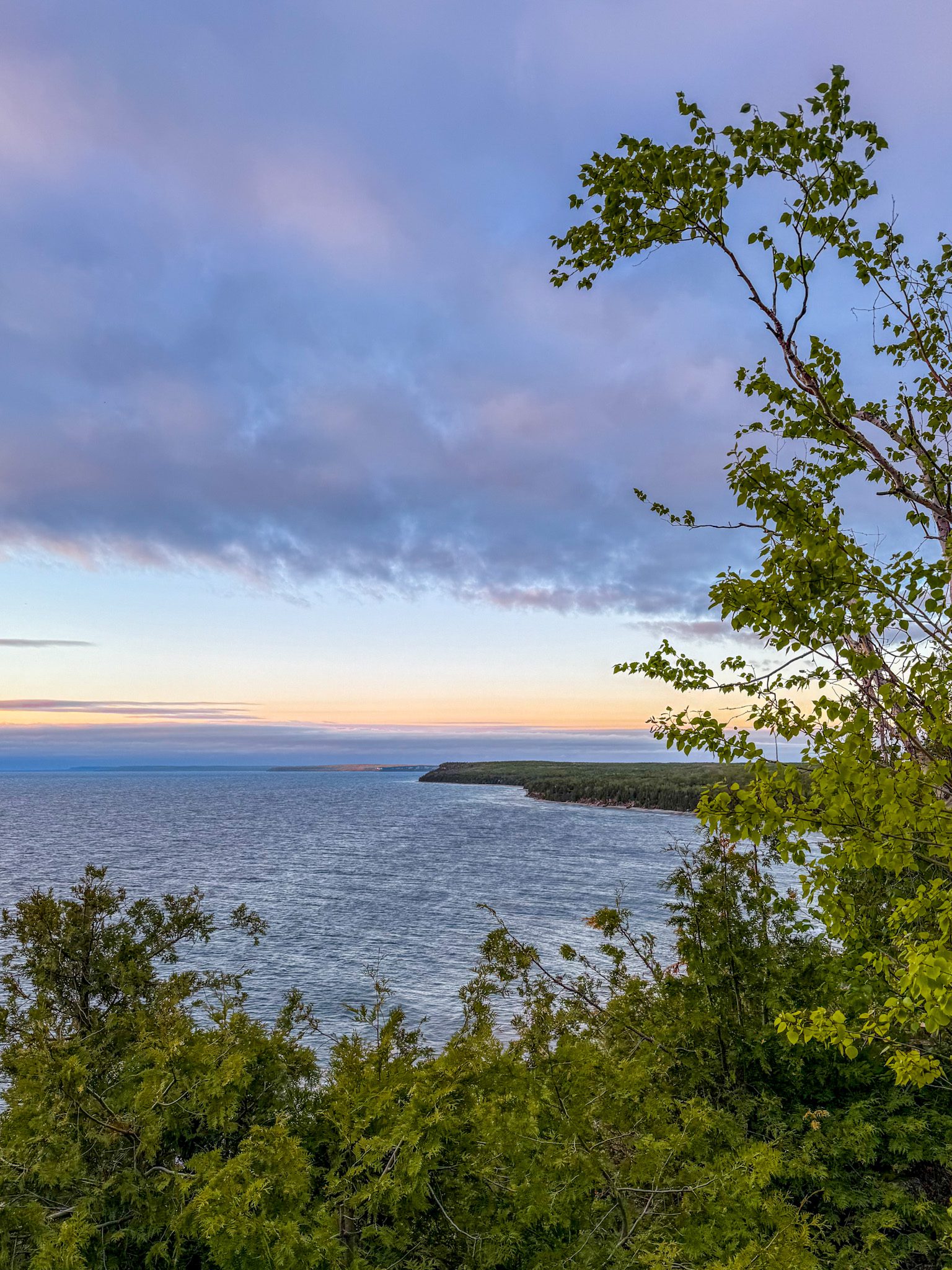
Experience the magic of dawn on the Bruce Trail with the Sunrise Hike Series offered by the Peninsula Bruce Trail Club. These early morning hikes provide a perfect opportunity to awaken your senses, boost your energy, and immerse yourself in the tranquility of nature as the sun paints the sky with breathtaking hues. As we make our way through scenic forest trails, we’ll pause to witness the first light shimmering on the turquoise waters of Georgian Bay – a sight that will surely leave you in awe!Beyond the beauty, morning light helps regulate your circadian rhythm, elevating your mood, boosting energy levels and improving sleep quality. Whether you’re looking to start your day with a sense of calm, capture stunning sunrise photos, or simply reconnect with nature, these hikes offer a unique and inspiring way to greet the day.
On Saturday May 9th, join us in hiking the Cape Chin Maple Cross property to the edge of the Niagara Escarpment, where we’ll experience the sun rising over the Bay from the iconic Cape Chin lookout. We’ll have the joy of taking in the stunning colours of the sky as the first light sparkles on the stunning turquoise waters. This peaceful sunrise hike is the perfect way to connect with nature, capture some incredible photos, and start the day with fresh air and inspiration. Whether you’re a morning person or just love a good adventure, come experience the magic of dawn from one of the best vantage points on the Bruce Peninsula!
Don’t forget to bring a headlamp or flashlight (preferably with a red light setting) as we begin our adventure in the pre-dawn quiet. Join us and discover how a sunrise hike can nourish your mind, body, and spirit – setting the tone for a brighter, more balanced day.
We will be hiking up the dirt/gravel road to the iconic Cape Chin lookout. This hike is approximately 6 kms in length. Expect to be out for ~2 hours. Pace will be leisurely with ample time to enjoy the sunrise, take some photographs, and nourish yourself!
How to prepare
- Get a good night’s sleep
- Bring lots of water and a snack (breakfast and/or coffee are recommended if that’s your thing!)
- Bring a headlamp or flashlight (preferably with a red light setting)
- Wear waterproof hiking boots (There will be mud!)
- Hiking poles are recommended but not necessary
- Bring insect repellant or wear protective clothing
In the event of cloudy/rainy weather, the hike will be held on Sunday, May 11th. Please watch your emails for a confirmation the week of the hike!
Dufferin Hi-Land Two Day End-to-End Hike
https://hikes.brucetrail.org/event/dufferin-hi-land-two-day-end-to-end-hike-2/Sorry, the registration cut-off time for this hike has been reached.Not a member? Click here to join today!This is a Multi-Day Hike
You are signing up for the following dates and times:
2026-05-09 at 07:00
2026-05-10 at 07:00Hosting Club: Dufferin Hi-Land
Category: Special Events
Location (Google Maps): Marshalling and Parking at 586387 10 Sideroad, Mulmur; ON; buses leave from the parking areaHike Leader(s): Don Stewart; Nicholas (Nick) Howard Click here to contact Hike Leader(s)
Pace: Fast
Terrain: Slippery and Steep Sections, Strenuous
Distance: Saturday +/- 30 Km; Sunday +/- 23 KmDescription
This is our annual “fundraiser” 2 Day End-to-End “Red Trillium” Badge hike. Check points along the route will refresh and supply you while experienced “Sweeps” will encourage you! Come and enjoy Springtime in Dufferin and experience the majestic views afforded from the “High Lands”. Not open to children under 13 years of age.Sydenham Bruce Trail E2E Run - Day 3 of 8 Only
https://hikes.brucetrail.org/event/sydenham-bruce-trail-e2e-run-day-3-of-8-only/Sorry, the registration cut-off time for this hike has been reached.Not a member? Click here to join today!Hike open to BTC Members only.
Hosting Club: Sydenham, Peninsula
Category: Sydenham E2E Trail Run
Location (Google Maps): Day 3 of the E2E Trail Run of the Sydenham Bruce Trail section. Meeting at 19th Street W & Somers Street, Owen SoundHike Leader(s): Margie Gloade; Natalie Mechalko Click here to contact Hike Leader(s)
Pace: Fast (5.5 – 7.0 km/h+): A quick pace maintained by experienced hikers or trail runners.
Terrain: Difficult: Steep ascents/descents, rocky scrambling, and some rugged escarpment paths.
Distance: About 20kmDescription
This is a single-day registration – Day 3 of 8.The Sydenham Bruce Trail Club (SBTC), in partnership with the Peninsula Bruce Trail Club (PBTC), is excited to offer its first-ever trail running Sydenham End-to-End series in 2026. Join the fun for one of the eight days in this trail running series! The trail running Sydenham E2E series will take place over 4 weekends and 8 days, starting at 7:30am. Below is the start and end location and estimated distance for this day (subject to change slightly). The group will meet at the end location, and carpool to the start of each day’s route. You are expected to participate in shuttling vehicles.
Please carefully read the details below to understand the logistics, costs, important notes, and fitness required for this challenge.
Saturday May 9, 2026: Lindenwood Rd BTC Parking to 19th Street W & Somers St., Owen Sound; ~20km.
- When you register here, you are registering for only one day in the series. (You also have the option of registering for the whole series for $60 even if you aren’t able to make all eight days).
- These are group trail runs. It is not a race. It is not a hike. There may be a couple different pace groups that naturally form, but you will be expected to stay with a group and wait to regroup at key locations. Runners are expected to remain between the lead runner and the sweep at all times. Anticipate each day to be running for about 3+/- hours, at a pace ranging from 7-9 min./km.
- Participants are expected to have some experience trail running as this is difficult terrain. There are also some roads, and some active farm fields. In some locations throughout Sydenham, trail running will not be permitted near livestock. On roads, runners are expected to follow standard Highway Traffic Act regulations, crossing safely and running on the shoulder, in single file, facing oncoming traffic.
- Mandatory gear includes a whistle and minimum 250ml of water carrying capacity. Trail runners will need to carry their own water and fuel.
- At approximate mid-way points each day, there will be volunteer support arranged so you can fill up water bottles. Some snacks (e.g. oranges, bananas, pretzels, cookies, water) will be provided but please plan to be self-sufficient.
- Exercise care and caution and common sense on trails, especially when passing other trail users. Let others know you are coming and that you intend to pass. Headphones/earbuds are not permitted while participating in this group run.
- Participants must be age 16 years or older.
- Dogs are not permitted.
- This trail run is for BTC members only. To become a member, click here: https://brucetrail.org/.
- The designated meeting points will not incur any personal parking fees but parking space is limited. Participants are encouraged to car pool whenever possible.
The single day fee is $20. This fee covers snacks, vehicle shuttle, volunteer support, and a donation to the PBTC hike program. There is also an option to register for the whole series ($60).
As per BTC policy, no refunds will be considered 30 days before the series starts (not after April 1, 2026).
The trail run will go ahead rain or shine, however, in extremely inclement weather, a date may be cancelled and rescheduled, ideally prior to the May 31st finish date.
RAINBOW HIKE: World Migratory Bird Day + Iroquoia BTC Pre-AGM Hike
https://hikes.brucetrail.org/event/rainbow-hike-world-migratory-bird-day-iroquoia-btc-pre-agm-hike/Sorry, the registration cut-off time for this hike has been reached.Not a member? Click here to join today!Hosting Club: Iroquoia
Category: Rainbow Hike
Location (Google Maps): Meet at the start of the Spencer Creek Trail (Dundas St/Cootes Dr (HWY 8))Hike Leader(s): Shayne Ward Click here to contact Hike Leader(s)
Pace: Leisurely – 3km/hr or less
Terrain: Easy – Mostly flat and usually good footing, Moderate – Some hills and/or some poor footing
Distance: 5KMDescription
Join us on World Migratory Bird Day for a pre-AGM Rainbow Hike! 🦅 🦉 🦆This gentle early-morning outing will explore the trails around Spencer Creek and Cootes Paradise, one of the region’s most important bird migration areas. We will start at the trailhead parking lot on the southeast corner of Dundas Street and Cootes Drive (HWY 8) and hike along the creek, under the HWY 8 (under the bridge does involve some moderate stepping and slight ‘duck’ing for us tall folks).
Plan to arrive for 745AM and we’ll have a small crash course on downloading and using two popular birding apps, Merlin Bird ID and eBird recording our sightings as part of World Migratory Bird Day! We’ll depart by 8-810AM. Hoping to catch some Blue Herons, Black-crowned Night Herons, and if we’re lucky, a sighting of the RBG resident Bald Eagles!
🌈 This is a queer-led, 2SLGBTQIA+ inclusive Rainbow Hike, welcoming LGBTQ+ hikers, allies, birders, photographers, and anyone interested in connecting with nature and community before the AGM. This is a short, relaxed hike (approx. 5 km) designed to get everyone back in time for the AGM Meet-and-Greet at 10:30 AM at the Westdale Theatre.
What to Bring
• Water and light snacks
• Weather-appropriate clothing and sturdy footwear
• Binoculars or camera if you have them (optional but fun! And a cell phone counts!)After the hike, we encourage participants to join fellow members at the Iroquoia Bruce Trail Club AGM just a short walk away at the Westdale Theatre. Not a Bruce Trail member yet?! Sign up here!
https://brucetrail.org/become-a-member/Come enjoy a spring morning on the trail, celebrate migratory birds, and connect with your Bruce Trail community!
🐾 Please leave pets at home for this hike! It’s peak migration season and we’ll be passing through an important bird migration and nesting area, so we want to keep disturbance to our feathered friends to a minimum! 🐦
🚗 🚌 This outing is accessible by car or public transit.
Planning to drive?
Parking is free but limited at the trailhead. We also ask for some assistance with shuttling folks back to the Westdale Theatre afterward for the Iroquoia Bruce Trail AGM.Taking the Bus?
HSR #5 (Delaware) stops near the trailhead entrance! Map of the bus and it’s schedule can be found here.
https://www.hamilton.ca/sites/default/files/2024-04/5-Delaware-apr24.pdfFree Bruce Trail Rainbow badges and stickers for all participants!
Questions? Simply click “Contact Hike Leader” on the registration form.
Iroquoia Bruce Trail Club Pre-AGM / Westdale to Princess Point
https://hikes.brucetrail.org/event/iroquoia-bruce-trail-club-pre-agm-westdale-to-princess-point/Sorry, the registration cut-off time for this hike has been reached.Not a member? Click here to join today!Hike open to BTC Members only.
Hosting Club: Iroquoia
Category: Special Event
Location (Google Maps): Hamilton Parking Lot #1002
85 Oak Knoll Dr, Hamilton ON L8S 4C2Hike Leader(s): Joe Borges Click here to contact Hike Leader(s)
Terrain: Dependent on Conditions, Moderate – Some hills and/or some poor footing
Distance: 4.7 kmDescription
Join us for a pre-AGM hike.
If you’d like to view the hike route, please click the All Trails link below. It’s approx. 5 km so we should be back in plenty time for the Meet-and-Greet at 10:30, before the AGM.
https://www.alltrails.com/explore/custom-routes/custom-route-be20ded?u=m&sh=4wexyxThe hike route will start from the Hamilton Parking Lot #1002 heading to Princess Point, and loop back to the parking lot.
From the lot it’s a short walk to the Westdale Theatre, if you are attending the AGM afterwards. Parking is $3 per hour, or all day for $15.Please bring enough water and snacks for your hike. Trails may be muddy at this time of year, so gaiters would be useful.
We encourage Hikers to register and stay for the AGM after our Hike. Connect with other members, help commemorate a wonderful year for the Club and to celebrate all our amazing volunteers.
Full AGM Details and Agenda below.
AGM LOCATION:
The Westdale Theatre, 1014 King St W, Hamilton, ON L8S 1L4
10:30 – 11:00 AM
MEET-AND-GREET
Connect with your Trail Community
11:00 – 11:45 AM
IBTC AGM & VOLUNTEER AWARDS
Celebrate the Heart of our Club
11:45 – 12:30 PM
HOT LUNCH
Enjoy a delicious meal locally catered.SPECIAL EVENT // BRUCE TRAIL TALKS / SESSION 1: Indigenous Trails
FREE for all IBTC Members attending the AGM
1:05 pmWelcome & Introduction by BTC CEO Michael McDonald
1:10 pm
First Nations Trail Systems
A historical & archaeological perspective with Martin S. Cooper, Snr Archaeologist, ASI Toronto
1:30 pm
First Nations Priorities
For engagement, education, and reconciliation, a current perspective
with Tim Johnson and Rick Hill2:00 pm
Panel Discussion
with Tim, Rick, Martin and moderated by Michael McDonald
Key takeaways, challenges, & priorities for action, including audience Q&A2:30 pm
Closing remarks Michael
Trillium hike Richmond hill
https://hikes.brucetrail.org/event/car-hike-rouge-national-park-scarborough-on-8/Sorry, the registration cut-off time for this hike has been reached.Not a member? Click here to join today!Hosting Club: Toronto
Category: Car Hike
Location (Google Maps): Oak Ridges Corridor, Bethesda Trail Head Parking Lot, Bethesda Side Road, Richmond Hill, OntarioHike Leader(s): MOHAMMAD AGHAMIRI Click here to contact Hike Leader(s)
Pace: Moderate (3-4 km/hr)
Terrain: Hilly, Level 2 (Intermediate – some hills and uneven surfaces, rocks and roots underfoot), Variable
Distance (km): 12-14 kmDescription
Join us to explore the trails of York Regional Forest and the Oak Ridges Corridor at Jefferson Forest and Bond lake,Now is the trillium time come and view thousands of this beautiful flower.
The White Trillium became Ontario’s official flower in 1937. The Trillium blooms in early spring throughout the province, with its white blossom associated with peace and hope.
From parking lot we hike thought Jefferson forest and continue to Bond Lake and have snack beside the lake and return to parking around 13 to 13.30
Please bring lots of water and snacks ,hiking poles are recommended
phone number for the day of hike 289 588 6482
Loop Hike Hockley Rd 5th Line EHS to 3rd Line EHS
https://hikes.brucetrail.org/event/car-hike-loop-hike-hockley-rd-5th-ehs-to-3rd-ehs/Sorry, the registration cut-off time for this hike has been reached.Not a member? Click here to join today!Hosting Club: Toronto, Caledon Hills
Category: Car Hike
Location (Google Maps): Bruce Trail parking lot on the east side of 5th Line EHS, just south of Hockley Rd. (873603 5 EHS LINE, Mono, ON L9W 6N3)Hike Leader(s): Amir Alemohammad
Pace: Moderate (3-4 km/hr)
Terrain: Hilly, Level 2 (Intermediate – some hills and uneven surfaces, rocks and roots underfoot), Variable
Distance (km): 12-14Description
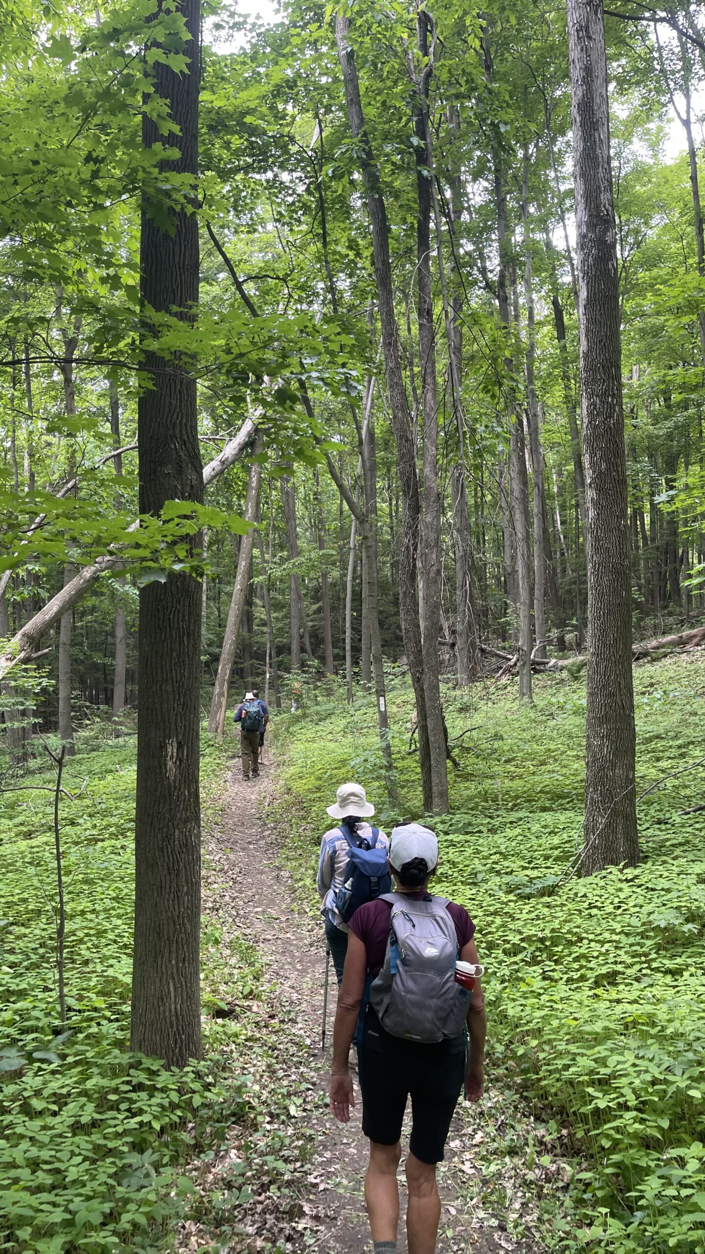
Join us for a loop hike along the trails of the Hockley Rd region, one of the most beautiful hiking areas in Caledon. Known for its rolling hills, forested trails, and ever-changing seasonal scenery, this hike takes you through a mixed hardwood forest, providing ample shade—perfect for this time of year. You’ll also encounter moderate elevation changes, with some sections following ridge lines and valleys that offer occasional breathtaking scenic viewpoints. We will hike main and side trails between 5th and 3rd Line EHS. Boots mandatory, poles recommended, bring two litres of water, your snack and dress according to weather conditions.School Bus Hike: Iroquoia E2E #7/8 (Map 10 Mount Nemo)
https://hikes.brucetrail.org/event/school-bus-hike-iroquia-e2e-7/Sorry, the registration cut-off time for this hike has been reached.Not a member? Click here to join today!Trip Information
Departure Time: 08:30
Return to City Time: 18:30
Departure Point: Kipling Departure PointOptional Items
Hiking ($.01)Hosting Club: Toronto
Category: Bus Hike
Location (Google Maps): Mount Nemo, Kilbride (Map #10)Hike Leader(s): Tom Swales, Marina Wray Click here to contact Hike Leader(s)
Pace: Moderate (3-4 km/hr)
Terrain: Hilly, Level 2 (Intermediate – some hills and uneven surfaces, rocks and roots underfoot), Rocky, Variable
Distance (km): 17 kmDescription
The seventh hike in our Iroquia E2E will take us through Mount Nemo Conservation Area (scenic view on top of the escarpment), Maple Cross Nature Reserve and Kilbride Pass to Crawford Lake Conservation Area. We begin with a steep climb up the escarment to Mount Nemo Conservation area but it will level out for the rest of the hike. There will be a stop for refreshments and socializing in Milton before returning to Kipling Station. Dropouts at 10 km and 15 km. Anyone is welcome regardless if doing the E2E or not.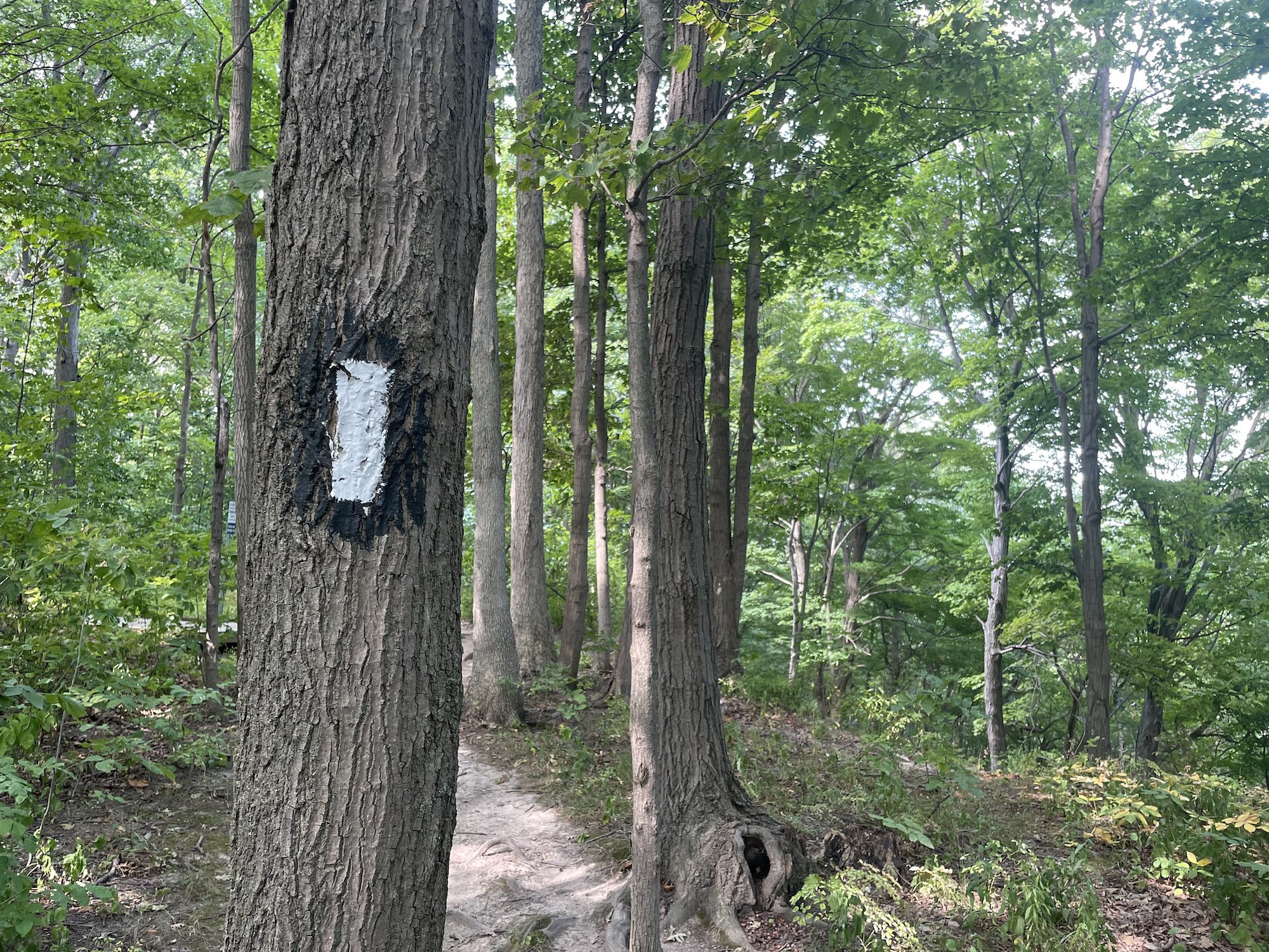
Woodend to Fireman's and Back
https://hikes.brucetrail.org/event/woodend-to-firemans-and-back-3/Sorry, the registration cut-off time for this hike has been reached.Not a member? Click here to join today!Hosting Club: Niagara
Category: Loop
Location (Google Maps): Meet at entrance to Woodend Conservation Area, Taylor Rd, Niagara-on-the-LakeHike Leader(s): Margaret Northfield Click here to contact Hike Leader(s)
Pace: Medium 3- 4 km/hr
Terrain: Moderate: some hills and some poor footing
Distance: 11-12kmDescription
Hike from Woodend Conservation Area to Fireman’s and back. Mostly main trail of the Bruce. Water, snack and poles recommended.
Geology Hike and Badge Series - Gravelly Point and Rural Rocks
https://hikes.brucetrail.org/event/geology-hike-and-badge-series-gravelly-point-and-rural-rocks/Sorry, the registration cut-off time for this hike has been reached.Not a member? Click here to join today!Hosting Club: Peninsula
Category: Geology Hike
Location (Google Maps): Gravelly Point and Rural RocksHike Leader(s): Beth Gilhespy Click here to contact Hike Leader(s)
Pace: Leisurely (2.0 – 3.0 km/h): A relaxed pace with frequent breaks and a focus on enjoyment.
Terrain: Moderate: Rolling hills, mild slopes and rocky paths.
Distance: 8.6Description
Join the adventure and earn the inaugural Peninsula Geology Badge! Over a stretch of 13 hikes and a couple of extra stops, we will explore the fascinating geology of the Peninsula to learn about the rocks, the shoreline features, glaciation, fossils and all things earthy. The 13 hikes are from the book “Walking Through Time – Exploring the Geology of the Saugeen (Bruce) Peninsula”. Having a copy will give you a lot of great information, but you do not have to purchase the book to attend and enjoy the hikes. Just bring your curiosity! We will make sure to hit all the locations that qualify for the beautiful new Walking Through Time – Saugeen (Bruce) Peninsula geology hike badge. If you would like to purchase a book I will have some available on the hikes, or you can pick one up from the BTC Head Office, at Ginger Press in Owen Sound, Suntrail Source for Adventure in Hepworth, the Shop at 84 Main in Lion’s Head and at Reader’s Haven in Tobermory.You are welcome to come on just a few of the hikes or on all of them, and the dates and hikes are as follows:
Date Geology Hike km
Saturday May 2, 2026 Colpoy’s Bay 9.0
Saturday May 9, 2026 Gravelly Point (am) and Rural Rocks (pm) 8.6
Saturday May 16, 2026 Malcolm Bluff 7.3
Sunday May 17, 2026 White Bluff/Smokey Head 11.8
Sunday May 24, 2026 Crooked Toe Road 5.5
Sunday May 31, 2026 Hope Bay 8.1
Sunday June 14, 2026 Boundary Bluffs 5.2
Saturday July 4, 2026 Cape Dundas 6.2
Saturday July 11, 2026 Beth Gilhespy Side Trail 7.6
Saturday August 8, 2026 Lion’s Head 11.0
Saturday August 15, 2026 Dyer’s Bay Loops 7.5
Saturday August 22, 2026 North Saugeen (Bruce) Shoreline 8.0
Meeting times will vary depending on the hike, but will generally be some time between 9 am and 10 am. Information on exact meeting times and locations will be sent out a few days prior to the hike.
Craigleith Community Centre
https://hikes.brucetrail.org/event/craigleith-community-centre-4/Sorry, the registration cut-off time for this hike has been reached.Not a member? Click here to join today!Hosting Club: Blue Mountains
Category: Organized Hike
Location (Google Maps): Tim Hortons, First Street, CollingwoodHike Leader(s): David Little Click here to contact Hike Leader(s)
Pace: Leisurely – 3 km/hr. or less
Terrain: Easy – Mostly flat and usually good footing
Distance: 5 kmDescription
We will follow the Georgian Trail past former Railway Station to the Nippising Ridge Trail and return. This is an easy hike with lots of opportunities to recall the history of Craigleith.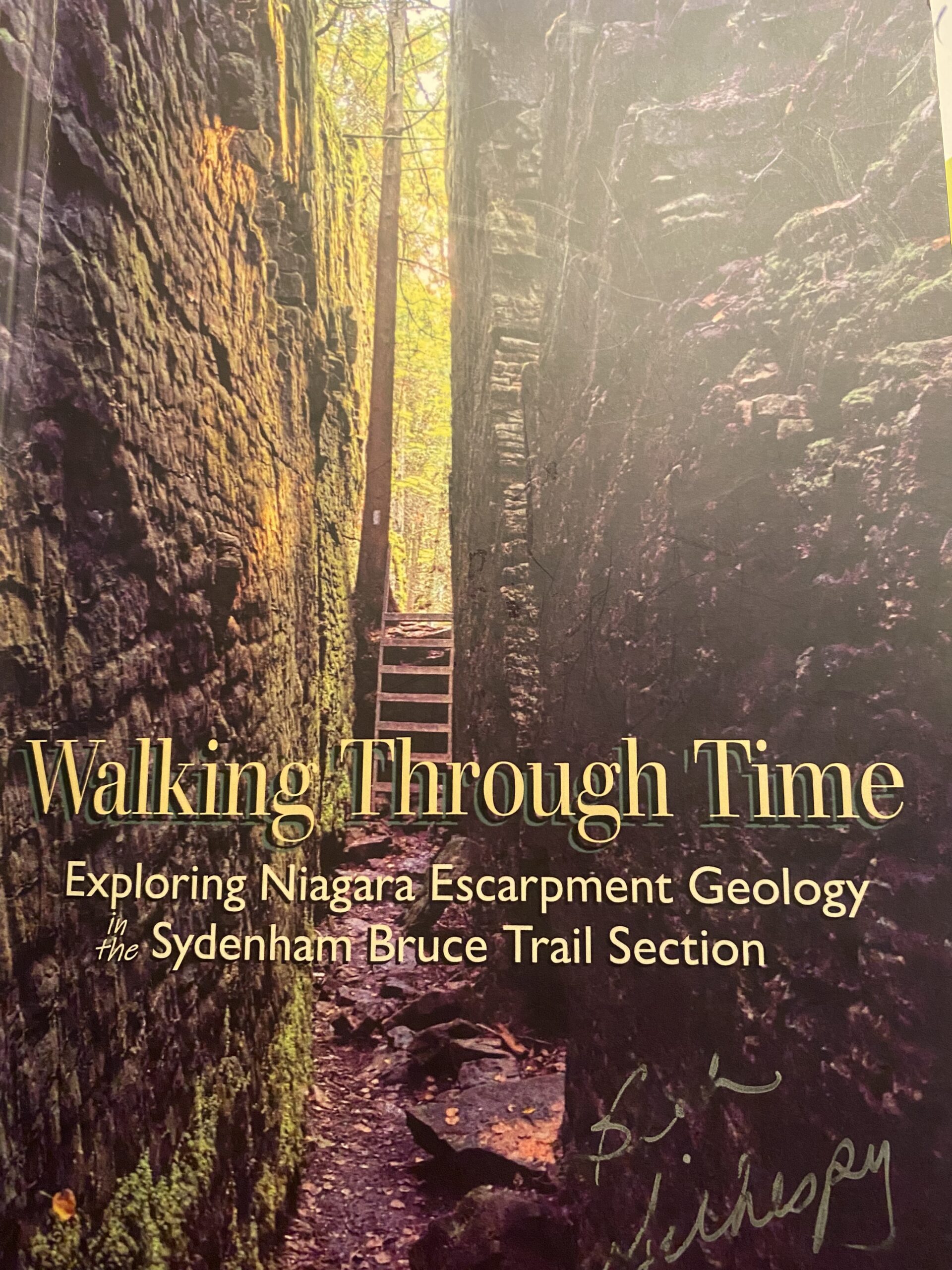
Geology Hike #2 Silent Valley
https://hikes.brucetrail.org/event/geology-hike-2-silent-valley-2/Sorry, the registration cut-off time for this hike has been reached.Not a member? Click here to join today!Hosting Club: Sydenham
Category: Geology Hike
Location (Google Maps):BT roadside parking at dead end of 2nd Concession South, north of Grey Road 18. Map 30, ed. 31, near km 34.5, southern end of Silent Valley Sidetrail. You have an option to meet at the north-east corner of the parking lot at Home Depot on Highway 26 on the east side of Owen Sound and carpool from there. Carol will meet you there at 9:00 am.
Hike Leader(s): Carol Graham-Mullin Click here to contact Hike Leader(s)
Pace: Leisurely: 3 km/h or less
Terrain: Moderate: Some hills and/or poor footing, Strenuous: Hilly with steep climbs and some poor footing., There might be muddy sections., There might be sections with water on the trail.
Distance: 6.5 kmDescription
Loop hike of Silent Valley. Geology Hike # 2 in series of 16 hikes from Beth’s newest book “Walking Through Time”.
Join Carol Graham-Mullin for this exploration of Silent Valley. Fascinating escarpment geology along with ancient cedars, rare ferns, fossils and more ! The final route to be hiked may be slightly altered due to closure of upper main trail flooding. Don’t worry, we will visit all the exciting geological features !Copies of Beth’s book, “Walking through Time” will be available for purchase at the end of the hike. A special member’s only price of $37.00 , cash or etransfer. This hike can be credited towards the Sydenham Geology Badge.
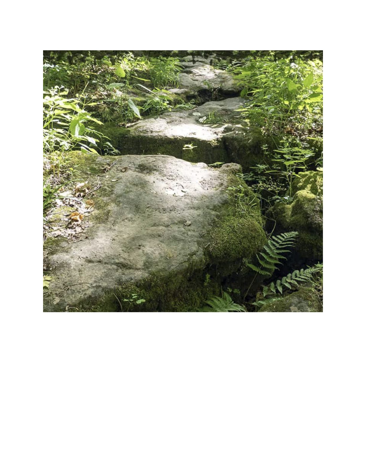
10:00 NBTC SPRING Nature Hike
https://hikes.brucetrail.org/event/1000-nbtc-spring-nature-hike-3/Sorry, the registration cut-off time for this hike has been reached.Not a member? Click here to join today!Hosting Club: Niagara
Category: Loop
Location (Google Maps):Louth Conservation Area
Hike Leader(s): Helen Hermansen Click here to contact Hike Leader(s)
Pace: Medium
Terrain: Moderate
Distance: ~5kmDescription
NBTC SPRING NATURE HIKEHiking boots and poles are recommend as the terrain is rocky in sections.
Join us for the NBTC Nature Hike series to learn more about the biodiversity along the Niagara Escarpment. We will explore the trails throughout Louth Conservation area which offer beauty in all four seasons. Hikes will be held January, May, August & October – it will be amazing to see all the changes throughout the seasons. Your hike leaders, members of the NBTC Biodiversity Committee, will share their knowledge of the amazing flora & fauna along the trail as well as any biodiversity projects in the works for this year.
Parking is at the Louth Conservation Area Parking Lot on Staff Ave. Hiking boots and poles are recommend as the terrain is rocky in sections.
Note that he hike will be rescheduled in the event of heavy rains or heavy snow.
Car Hike: Scotsdale Farm
https://hikes.brucetrail.org/event/car-hike-scotsdale-farm-19/Sorry, the registration cut-off time for this hike has been reached.Not a member? Click here to join today!Hosting Club: Toronto
Category: Car Hike
Location (Google Maps):Scotsdale Farm, Map 13
Hike Leader(s): Al Brown Click here to contact Hike Leader(s)
Pace: Moderate (3-4 km/hr)
Terrain: Level 2 (Intermediate – some hills and uneven surfaces, rocks and roots underfoot), Variable
Distance (km): 10-13 kmDescription
Come join me for on the Bruce Trail to see the spring flowers and the first buds of the forest canopy.We will complete a loop hike on the main and side trails through Scotsdale Farm. The trails offer shorter routes for those who do not want to complete the full length. After the hike all are invited to join me for refreshments at the Shepherd’s Crook in old Georgetown.
To get to the meeting point from Hwy 401 go north on Trafalgar Road past Georgetown to the juncture with Hwy 7. North on Hwy 7 to Silver Creek. Turn right and back onto Trafalgar Road. Go north about 1.5 km to the entrance of Scotsdale Farm on your right. The parking area is about 0.5 km from Trafalgar Road near the old homestead.
Urban Walk: Humber River/Swansea Theatre Hike
https://hikes.brucetrail.org/event/urban-walk-humber-river-swansea-theatre-hike-4/Sorry, the registration cut-off time for this hike has been reached.Not a member? Click here to join today!Hosting Club: Toronto
Category: Urban Walk
Location (Google Maps):Meet by the TTC Stop on the Southeast Corner of Scarlett Road and Eglinton Avenue West. Take the #79 Scarlett Road bus from Runnymede Station to Eglinton or the Eglinton West #32A from Eglinton West Station to Scarlett Road.
Hike Leader(s): Miriam Stevens Click here to contact Hike Leader(s)
Pace: Leisurely (2-3 km/hr)
Terrain: Level 1 (Easy – mostly on flat, well maintained trails with hard-packed surface), Variable
Distance: 10-12 kmDescription
Leisurely hike (3 kms/hour – No Racers Please) suitable for beginners and families.
Hike along the Humber River trail and into the Swansea village at Runnymede road and Bloor street west. The hike will end opposite Runnymede Subway near the Village Playhouse Theatre and local restaurants and pubs. Distance may vary according to the weather and trail conditions and how people feel. Early dropout is possible at Old Mill Subway Station.After the hike you are invited to join us for dinner at around 6 PM at Ali Baba Mediterranean restaurant.
We will attend the play “The Cottage” at 8 PM at The Bloor West Village Players theatre, 2190 Bloor Street West, Toronto.
Call the Theatre directly at (416) 767 7702 to reserve your ticket, cost $26- $29.00. Please do mention that you’re with the Bruce Trail Conservancy, Toronto Club so they know we are supporting them.Paid parking is available off Kennedy Avenue north of Bloor Street West (behind the Village Playhouse Theatre building). There is no parking available at the start of the hike.