
The BTC office will be closed on Mon. Oct. 12 for the holiday. Thank you for your understanding.
Hike Schedule
Join us for a hike! Registration required.
All hikes available to BTC members. Some hikes are open to non-members.
See Refund Policy for Paid Hikes >
TIP: The calendar view displays up to 7 hikes on a day, but often there are more. Click “View more events” to see them all.
Niagara
Iroquoia
Toronto
Caledon Hills
Dufferin Hi-Land
Blue Mountains
Beaver Valley
Sydenham
Peninsula
All Clubs
Show Filters
Categories
Reset Filters
- 10May 10, 2026
Sydenham Bruce Trail E2E Run - Day 4 of 8 Only
https://hikes.brucetrail.org/event/sydenham-bruce-trail-e2e-run-day-4-of-8-only/Sorry, the registration cut-off time for this hike has been reached.Not a member? Click here to join today!Hike open to BTC Members only.
Hosting Club: Sydenham, Peninsula
Category: Sydenham E2E Trail Run
Location (Google Maps): Day 4 of the E2E Trail Run of the Sydenham Bruce Trail section. Meeting at Centennial Tower Parking Lot, Owen Sound.Hike Leader(s): Margie Gloade; Natalie Mechalko Click here to contact Hike Leader(s)
Pace: Fast (5.5 – 7.0 km/h+): A quick pace maintained by experienced hikers or trail runners.
Terrain: Difficult: Steep ascents/descents, rocky scrambling, and some rugged escarpment paths.
Distance: About 19 kmDescription
This is a single-day registration – Day 4 of 8.The Sydenham Bruce Trail Club (SBTC), in partnership with the Peninsula Bruce Trail Club (PBTC), is excited to offer its first-ever trail running Sydenham End-to-End series in 2026. Join the fun for one of the eight days in this trail running series! The trail running Sydenham E2E series will take place over 4 weekends and 8 days, starting at 7:30am. Below is the start and end location and estimated distance for this day (subject to change slightly). The group will meet at the end location, and carpool to the start of each day’s route. You are expected to participate in shuttling vehicles.
Please carefully read the details below to understand the logistics, costs, important notes, and fitness required for this challenge.
Sunday, May 10, 2026: 19th Street W & Somers St., Owen Sound to Centennial Tower Parking Lot; ~19km.
- When you register here, you are registering for only one day in the series. (You also have the option of registering for the whole series for $60 even if you aren’t able to make all eight days).
- These are group trail runs. It is not a race. It is not a hike. There may be a couple different pace groups that naturally form, but you will be expected to stay with a group and wait to regroup at key locations. Runners are expected to remain between the lead runner and the sweep at all times. Anticipate each day to be running for about 3+/- hours, at a pace ranging from 7-9 min./km.
- Participants are expected to have some experience trail running as this is difficult terrain. There are also some roads, and some active farm fields. In some locations throughout Sydenham, trail running will not be permitted near livestock. On roads, runners are expected to follow standard Highway Traffic Act regulations, crossing safely and running on the shoulder, in single file, facing oncoming traffic.
- Mandatory gear includes a whistle and minimum 250ml of water carrying capacity. Trail runners will need to carry their own water and fuel.
- At approximate mid-way points each day, there will be volunteer support arranged so you can fill up water bottles. Some snacks (e.g. oranges, bananas, pretzels, cookies, water) will be provided but please plan to be self-sufficient.
- Exercise care and caution and common sense on trails, especially when passing other trail users. Let others know you are coming and that you intend to pass. Headphones/earbuds are not permitted while participating in this group run.
- Participants must be age 16 years or older.
- Dogs are not permitted.
- This trail run is for BTC members only. To become a member, click here: https://brucetrail.org/.
- The designated meeting points will not incur any personal parking fees but parking space is limited. Participants are encouraged to car pool whenever possible.
The single day fee is $20. This fee covers snacks, vehicle shuttle, volunteer support, and a donation to the PBTC hike program. There is also an option to register for the whole series ($60).
As per BTC policy, no refunds will be considered 30 days before the series starts (not after April 1, 2026).
The trail run will go ahead rain or shine, however, in extremely inclement weather, a date may be cancelled and rescheduled, ideally prior to the May 31st finish date.
Car Hike: Jefferson Forest and Bond Lake (Richmond Hill)
https://hikes.brucetrail.org/event/car-hike-jefferson-forest-and-bond-lake-richmond-hill-11/Sorry, the registration cut-off time for this hike has been reached.Not a member? Click here to join today!Hosting Club: Toronto
Category: Car Hike
Location (Google Maps):1245 Bethesda Side Rd, Richmond Hill, ON L4E 1A2 ( Bethesda Trail Head Parking lot)
Hike Leader(s): Amir Alemohammad Click here to contact Hike Leader(s)
Pace: Moderate (3-4 km/hr)
Terrain: Flat, Hilly, Level 2 (Intermediate – some hills and uneven surfaces, rocks and roots underfoot)
Distance (km): 15-16 kmDescription
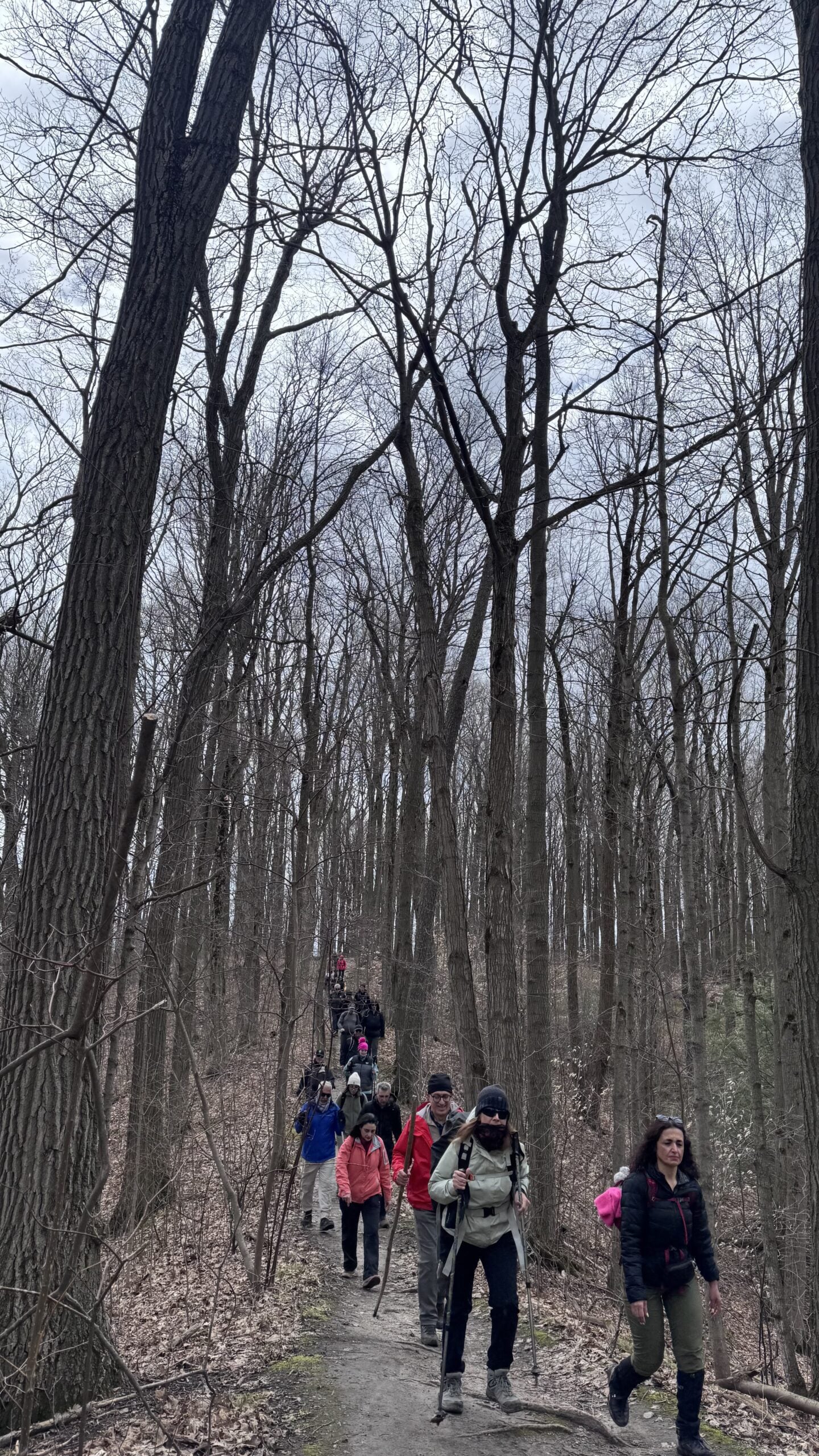
Let’s roll the hills of the Jefferson Forest and around the Bond Lake. Every week we hike in Jefferson Forest, located in the heart of Richmond Hill, it boasts numerous hiking trails. This 3.5 hour hike can range from 14 to 15 kilometres, depending on the weather conditions. Remember to bring water, snacks, hiking boots, poles, and your camera. Not recommended for beginners. Park in the free Bethesda parking lot and avoid parking along the road. Dress appropriately for the weather. Difficulty Level: 2 (Moderate).Please arrive @8:15AM for start of 8:30AM.
This is a joint hike with the Oak Ridges Trail Association (ORTA).
what3words:
https://w3w.co/twisting.mailer.awakes
Canceled Car Hike: Uxbridge-Brock Track
https://hikes.brucetrail.org/event/car-hike-uxbridge-brock-track-3/Sorry, the registration cut-off time for this hike has been reached.Not a member? Click here to join today!Hosting Club: Toronto
Category: Cancelled
Location (Google Maps):Meet at the Brock Tract parking lot on the east side of Durham 1/Brock Rd., approximately 5 km south of Coppin’s Corners, Uxbridge or 1 km north of Uxbridge Pickering Town Line. 1401 Brock Rd. (Free parking).
Hike Leader(s): Amir Alemohammad Click here to contact Hike Leader(s)
Pace: Moderate (3-4 km/hr)
Terrain: Flat, Hilly, Level 2 (Intermediate – some hills and uneven surfaces, rocks and roots underfoot)
Distance (km): 14-15Description
This hike canceled.Join us for a wonderful hike in Uxbridge the capital trail of Canada, in starting from Brock Track parking lot. We will hike the Brock Track and Wilder Forest among the amazing trails of Uxbridge.
Boots mandatory, poles recommended, bring 2 litres of water and dress according to weather conditions.
Please arrive at 8:15 for a 8:30 start.
Beware, Iphone Maps may take you to the wrong location. Check the location with Google Maps the previous night.
This is a joint hike with Oak Ridges Trail Association (ORTA).
Sunny Sundays - Fox Ridge to Eagle's Summit
https://hikes.brucetrail.org/event/sunny-sundays-fox-ridge-to-eagles-summit/Sorry, the registration cut-off time for this hike has been reached.Not a member? Click here to join today!Hosting Club: Beaver Valley
Location (Google Maps): Meet in the Beaver Valley Rest Area on the west side of Grey Rd. 13, across from the Bruce Trail, Map 26, Edition 31, 44.363929,-80.531458. We will car shuttle to Fox Ridge Road.
Hike Leader(s): Glenda Collings Click here to contact the hike leader.
Pace: Medium
Terrain: Moderate, Some rocky footing, Some steep sections
Length of Hike: 10 kmDescription
We will be hiking both below and along the top of the escarpment with many views across the valley. Please ensure you arrive ready for the car shuttle at 8:15 a.m for an 8:30 a.m. start. Bring water and snacks. We’ll have a couple of short breaks and a mid hike break for snacks. Dress appropriately for the weather and trail conditions. Bring sunscreen and insect repellent or protective covering like a bug hat and long sleeves. You can use the “Click here to contact the hike leader” option in the hike listing if you have any questions.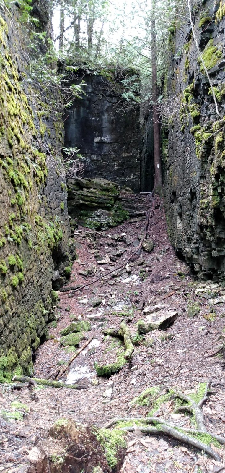
Sydenham
https://hikes.brucetrail.org/event/sydenham/Sorry, the registration cut-off time for this hike has been reached.Not a member? Click here to join today!Hosting Club: Caledon Hills, Blue Mountains
Category: General
Location (Google Maps): Meet at Irish Block Line parking north of HWY 26. We will shuttle to Pioneer Tower, HWY 6 at Owen Sound and hike back.Hike Leader(s): Dan Patterson Click here to contact Hike Leader(s)
Pace: Medium – 3 to 4 km/hour
Terrain: Moderate – some hills and/or some poor footing
Distance: 18.9 kmDescription
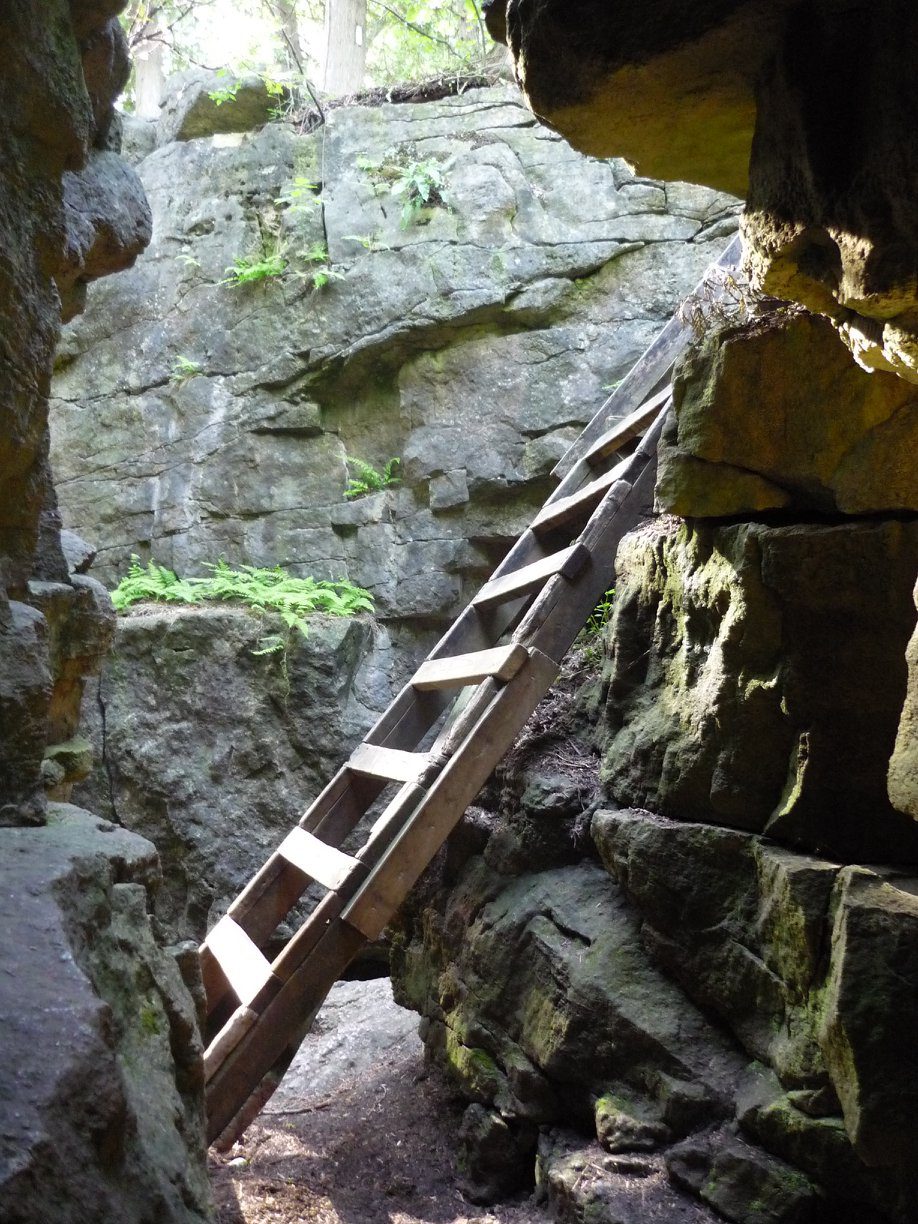
Sydenham has many hidden gems. This section features amazing crevices. Come prepared for an adventure! Bring sufficient water, lunch, snacks, bug repellent and a smile! We will meet at Irish Block Line and shuttle to Pioneer Tower on HWY 6 at Owen Sound. This is the first of 3 Sydenham Section hikes I am leading. If you are working on the Sydenham section these hikes may help you. I can also provide a plan for the rest of the section. The other hikes are Saturday June 13 and Saturdy June 27. These cover the last 2 stages into Wiarton.
St. Helena Forest
https://hikes.brucetrail.org/event/st-helena-forest-2/Sorry, the registration cut-off time for this hike has been reached.Not a member? Click here to join today!Hosting Club: Iroquoia
Category: General Hike
Location (Google Maps): Meet in the Pear Tree parking lot at Speyside on 15 Side Road at 9:15 amHike Leader(s): Karen Bergmann Click here to contact Hike Leader(s)
Pace: Medium – 3 to 4 km/hr
Terrain: Moderate – Some hills and/or some poor footing
Distance: 10 kmsDescription
Meeting at 9:15 am in the Pear Tree parking lot, we will hike the main trail into the St. Helena forest and along the trails, which are VERY rocky. This is a dense forest that takes us around a large marsh pond and back up the Al Shaw Side Trail. This hike is about 90% technical (on rocks), so be prepared for that. Not for first time hikers.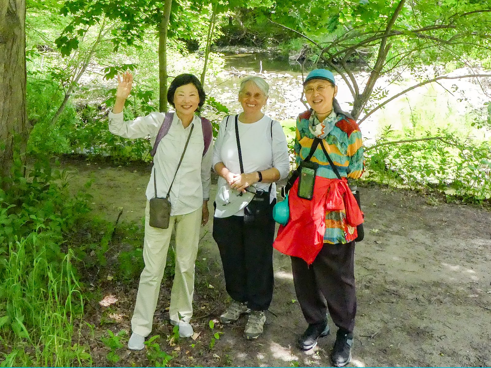
Urban Walk: Toronto Urban Badge Hike - 6 of 7
https://hikes.brucetrail.org/event/urban-walk-toronto-urban-badge-hike-6-of-7-4/Sorry, the registration cut-off time for this hike has been reached.Not a member? Click here to join today!Hosting Club: Toronto
Category: Urban Walk
Location (Google Maps): East Don TrailHike Leader(s): Brian Rideout Click here to contact Hike Leader(s)
Pace: Moderate (3-4 km/hr)
Terrain: Flat
Distance (km): 9 kmDescription
Please join me at the south east corner of Sheppard Ave East and Leslie by 10 AM. We will hike south through several parks to Don Mills (S of Overleigh) (km 51.7 to km 62.4). Here is an online map with km markings of our route for all 7 hikes for the Toronto Urban Badge: https://onthegomap.com/s/c2c1hf3nPlease make sure you bring at least 2 liters of water, a lunch, bug spray and sunscreen.

Spring Social Hike 1 of 3 - Reflective Walk
https://hikes.brucetrail.org/event/spring-social-hike-1-of-3-reflective-walk/Sorry, the registration cut-off time for this hike has been reached.Not a member? Click here to join today!Hosting Club: Sydenham
Category: Hike & Potluck
Location (Google Maps): Kemble United Church Hall, Kemble. The church is at the main intersection in Kemble. Street parking. From the church, hike leaders will organize carpooling to the hike start.Hike Leader(s): Marie Knapp Click here to contact Hike Leader(s)
Pace: Leisurely: 3 km/h or less
Terrain: Easy: Mostly flat and good footing.
Distance: 2 kmDescription
A quiet walk at an easy pace with Hike Leaders Marie Knapp and Danuta Valleau along the Edmonstone Loop and Main trail. We will have some guidance to appreciate nature around us. We will look above and along the earth surface.This is 1 of 3 hikes to be offered at SBTC’s Spring Social. After the hike, at 4:30, there is a social time, snacks and a potluck meal in the church hall. All are welcome. Bring a dish of 6 small servings per person attending. Also bring your own plate, cutlery and beverage.
Spring Social Hike 2 of 3 - Interpretive Hike
https://hikes.brucetrail.org/event/spring-social-hike-2-of-3-interpretive-hike-2/Sorry, the registration cut-off time for this hike has been reached.Not a member? Click here to join today!Hosting Club: Sydenham
Category: Hike & Potluck
Location (Google Maps): Kemble United Church Hall, Kemble. The church is at the main intersection in Kemble. Street parking. From the church, hike leaders will organize carpooling to the hike start.Hike Leader(s): Bob Knapp Click here to contact Hike Leader(s)
Pace: Medium: 3 to 4 km/h
Terrain: Moderate: Some hills and/or poor footing, There might be muddy sections.
Distance: 5 kmDescription
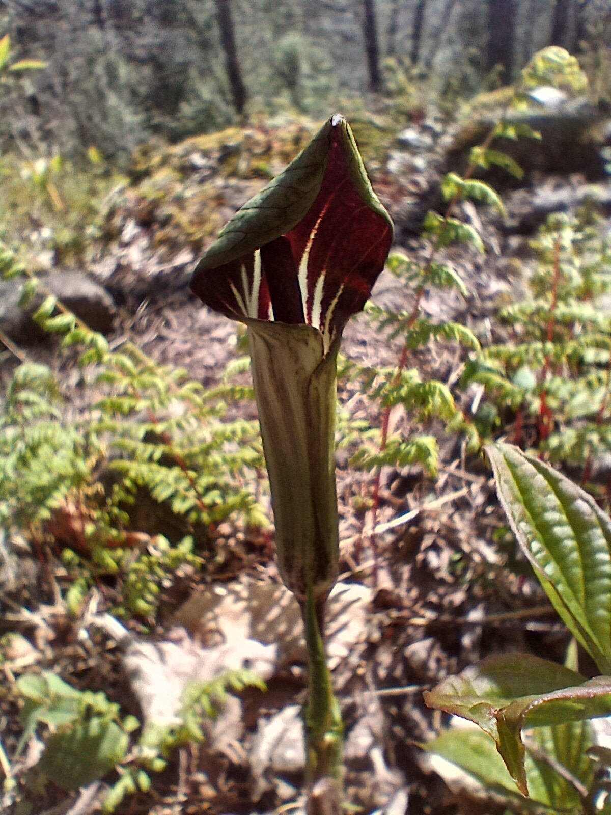
Follow the Don Richards’ trail and then the main trail to the campsite. North to the east-west road allowance and then east to the main trail. Then 0.5 km along the main trail on the Maple Cross Ridge Nature Reserve. Returning to the Mystery Cabin trails and back to the starting point. We will stop at some notable places and present some interesting information .This is hike 2 of 3 being offered at SBTC’s Spring Social. After the hike, at 4:30, there is a social time, snacks and a potluck meal in the church hall. All are welcome. Bring a dish of 6 small servings per person attending . Also bring your own plate, cutlery and beverage.
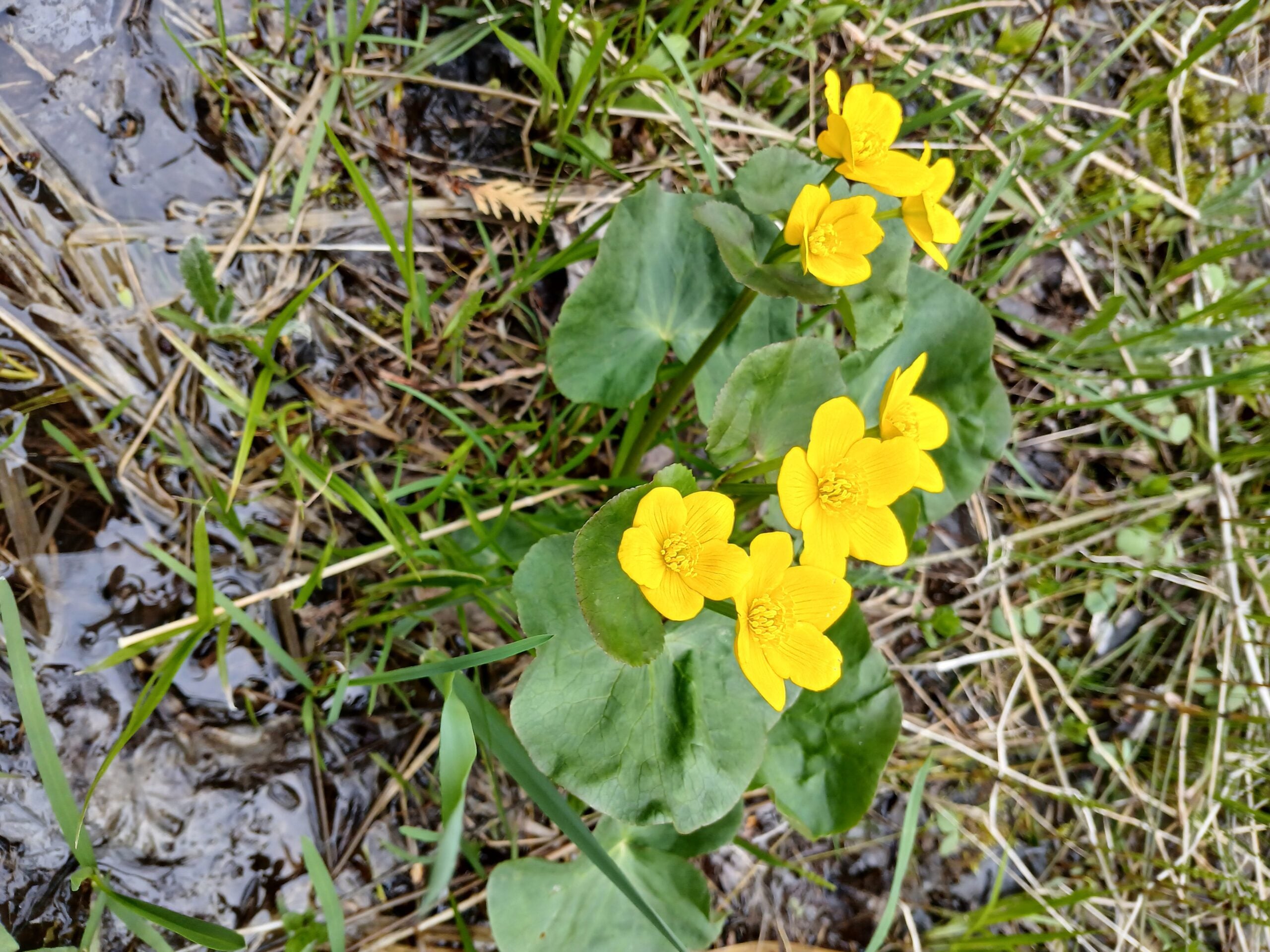
Spring Social Hike 3 of 3 - Sleuthing Hike
https://hikes.brucetrail.org/event/spring-social-hike-3-of-3-sleuthing-hike/Sorry, the registration cut-off time for this hike has been reached.Not a member? Click here to join today!Hosting Club: Sydenham
Category: Hike & Potluck
Location (Google Maps): Kemble United Church Hall, Kemble. The church is at the main intersection in Kemble. From the church, hike leaders will organize carpooling to the hike start.Hike Leader(s): Bill Snel Click here to contact Hike Leader(s)
Pace: Leisurely: 3 km/h or less
Terrain: Easy: Mostly flat and good footing., Moderate: Some hills and/or poor footing, There might be muddy sections., There might be sections with water on the trail.
Distance: 5 kmDescription
Exploring Sydenham hikes 38 & 39 enjoying the Kemble Wetlands and Cedar Point side trails with Hike Leader Bill Snel. Both of these side trails have a clue to be found. This is number 3 of 3 hikes to be offered at SBTC’s Spring Social. After the hike, at 4:30, there is a social time, snacks and a potluck meal in the church hall. All are welcome. For sharing bring a dish of 6 small servings per person attending. Also bring your own plate, cutlery and beverage. There will be some Exploring Sydenham books available for sale ($30). - 11May 11, 2026
Sydenham E2E in 7- hike 1 of 7
https://hikes.brucetrail.org/event/car-hike-sydenham-e2e-in-7-hike-1-of-7/Sorry, the registration cut-off time for this hike has been reached.Not a member? Click here to join today!Hike open to BTC Members only.
Hosting Club: Toronto, Sydenham
Category: Car Hike
Location (Google Maps):Bog or Marsh Conservation, km 27. Map 29, addition 31. Coordinates N 44.538525,W 80.782217 (paid parking)
Hike Leader(s): Smadar Junkin Click here to contact Hike Leader(s)
Pace: Brisk (4-5 km/hr)
Terrain: Challenging, Level 3 (Advanced – steep hills and some scrambling over boulders), Variable
Distance (km): 27 kmDescription
This E2E in 7 features long hikes, hikers need to move at a pace of 4-4.5 km per hour. Please register to each hike individually. We will shuttle to km 0.0 and hike back. Hikers are expected to arrive 15 minutes early. Each hiker is expected to participate in car shuttles as needed throughout the 7 days. Bring 2 litres of water, snacks, lunch. If you need to get in touch with me use the “Contact Hike Leader” Dialogue Box to send a message.
*Caledon Hills Sideways Badge - Hike #3
https://hikes.brucetrail.org/event/caledon-hills-sideways-badge-hike-3/Sorry, the registration cut-off time for this hike has been reached.Not a member? Click here to join today!Hosting Club: Iroquoia, Caledon Hills
Category: Special Event
Location (Google Maps): Caledon Hills – Location will be advisedHike Leader(s): Heather Zrini Click here to contact Hike Leader(s)
Pace: Medium – 3 to 4 km/hr
Terrain: Dependent on Conditions, Moderate – Some hills and/or some poor footing, Strenuous – Hilly with steep climbs and some poor footing
Distance: 20 kmDescription
On this series of three hiking days, we will complete the five loop hikes that are required to earn the Caledon Hills Sideways Badge. If you are not interested in earning the badge, please join us for some great hiking. Hikers can sign up for individual hikes as you do not need to complete all three to participate. The dates of the three hiking days will be April 13, April 27 and May 11. We will meet at the starting point at 9am each week. Our finishing time is an approximation. On each of the first two hiking days, we will be completing two of the loops. On May 11, there will be one loop hike and if there is interest, we will hike another loop in Mono Cliffs Provincial Park. Each loop is approximately 10 km in length. For more information about the hikes, please see the link below:Sideways Badge Loop .PDF Download
Our schedule will be as follows:
April 13 – Hike One and Hike Five
April 27 – Hike Two and Hike Three
May 11 – Hike Four and a hike in Mono Cliffs Provincial Park
Carpooling is encouraged. Since these are loop hikes, we will not need to shuttle. On the first day, a Provincial Park Daily Vehicle Permit Reservation will be required. We will be parking and hiking in the Forks of the Credit Provincial Park on Day 1. Passes that can be used when making the reservation can be purchased through the Ontario Provincial Park website or borrowed from your local library. If a car does not have a pass, the cost of the Daily Vehicle Permit reservation will be split between those people in that car.
More information, including specific details about the meeting points, will be provided to those who sign up for the hikes.
If there are any questions, please don’t hesitate to ask.
EASY DOES IT HIKE Steve Bauer Trail (South)
https://hikes.brucetrail.org/event/steve-bauer-trail-south/Sorry, the registration cut-off time for this hike has been reached.Not a member? Click here to join today!Hosting Club: Niagara
Category: Leisurely
Location (Google Maps): Steve Bauer, Northtown Plaza 325 Thorold Rd, Welland, OnHike Leader(s): Diane Marlatt Click here to contact Hike Leader(s)
Pace: Leisurely <3 km/hr
Terrain: Easy: mostly flat, good footing
Distance: 6KmDescription
Seven Rivers Series - Hike 3 of 7
https://hikes.brucetrail.org/event/seven-rivers-series-hike-3-of-7/Sorry, the registration cut-off time for this hike has been reached.Not a member? Click here to join today!Hosting Club: Caledon Hills
Category: General
Location (Google Maps): Pine River – Dufferin Hi-Land Section.
Meet at Whitfield Church parking, km 30.4 located 40 metres north of 10 Sideroad, at Centre Road and 10 Sideroad. (County Road 17)Hike Leader(s): Nancy Mooney Click here to contact Hike Leader(s)
Pace: Medium – 3 to 4 km/hour
Terrain: Moderate – some hills and/or some poor footing, Strenuous – hilly with steep climbs and some poor footing
Distance: 13 kmDescription
This is the third hike in the series and will explore the trails around the Pine River including the Bell Lookout and the Pine River Side Trail.
Share & Learn series, Fossil Glen loop, Ephemerals & more
https://hikes.brucetrail.org/event/share-learn-series-fossil-glen-loop-ephemerals-ferns/Sorry, the registration cut-off time for this hike has been reached.Not a member? Click here to join today!Hosting Club: Sydenham
Category: Botany Hike
Location (Google Maps):Meet at the base of the escarpment on East Linton Road West. Park on the west side of the road, where the road turns north, east of km 118.2 (Map 33).
Hike Leader(s): Carol Graham-Mullin Click here to contact Hike Leader(s)
Pace: Leisurely: 3 km/h or less
Terrain: Moderate: Some hills and/or poor footing, Strenuous: Hilly with steep climbs and some poor footing.
Distance: 2.3 kmDescription
Join Jeannine and Carol on this leisurely hike with a focus on spring wildflowers. In this “share and learn” series participants will be encouraged to ask questions ; we will stop briefly to identify and share together the spring ephemerals found in this richly diverse section of the Bruce Trail. Possibilities are : native dicentra species, spring beauties, trout lilies, trilliums, wild ginger, and others. Photographers welcome.Poles, sturdy hiking boots and water/snacks are recommended. Muddy sections are a possibility.
- 12May 12, 2026
Sydenham E2E, hike 2of 7
https://hikes.brucetrail.org/event/car-hike-sydenham-e2e-hike-2of-7/Sorry, the registration cut-off time for this hike has been reached.Not a member? Click here to join today!Hike open to BTC Members only.
Hosting Club: Toronto, Sydenham
Category: Car Hike
Location (Google Maps):Km 52.7 map 30, addition 31. St. Vincent Sydenham townline. Coordinates N 44.637539,W 80.733406
Hike Leader(s): Smadar Junkin Click here to contact Hike Leader(s)
Pace: Brisk (4-5 km/hr)
Terrain: Challenging, Level 3 (Advanced – steep hills and some scrambling over boulders), Rocky, Variable
Distance (km): 26 kmDescription
Second hike in the series. Please register to each hike individually. We will hike about 26 kms. Bring 2 litres of water, food. We will shuttle to km 27, (paid parking) and walk back. If you need to get in touch with me, send a message through the “Contact Hike Leader” Dialogue Box.Long Haulers Hike Decew House
https://hikes.brucetrail.org/event/long-haulers-hike-decew-house-2/Sorry, the registration cut-off time for this hike has been reached.Not a member? Click here to join today!Hosting Club: Niagara
Location (Google Maps):
Decew House Thororold
Pace: Fast 5+ km/hr
Terrain: Moderate: some hills and some poor footing
: 10k+Description
This is our regular Tuesday Long Hike. Note the new location which will continue until May due to the muddy conditions in Shorthills. We will hike along the trails which may include Brock, 12 mile creek. Morningstar mill and/or Bert Lowe side trail. Dress for the weather and bring poles snack and drink9:15 Short hike, Rotary Park, St. Catharines
https://hikes.brucetrail.org/event/915-short-hike-rotary-park-st-catharines-23/Sorry, the registration cut-off time for this hike has been reached.Not a member? Click here to join today!Hike open to BTC Members only.
Hosting Club: Niagara
Category: In and Out
Location (Google Maps): Rotary Park, St. CatharinesHike Leader(s): janet davey Click here to contact Hike Leader(s)
Pace: Medium
Terrain: Moderate
Distance: 6-7 kmDescription
Hike the trails in and around Rotary Park. Please bring hiking poles, water and appropriate footwear. Trails may be muddy at this time of year.Spring Wildflowers and Trees - Splitrock Narrows Nature Reserve
https://hikes.brucetrail.org/event/spring-wildflowers-and-trees-splitrock-narrows-nature-reserve/Sorry, the registration cut-off time for this hike has been reached.Not a member? Click here to join today!Hosting Club: Dufferin Hi-Land
Category: Tuesday Hike
Location (Google Maps):Dufferin Hi-Land Section, Map 19. Meet at BTC Splitrock parking lot on 2nd Line EHS, about 1.5 km north of 25 Sideroad
Hike Leader(s): Brenda Carling, Les Babbage Click here to contact Hike Leader(s)
Pace: Leisurely
Terrain: Easy
Distance: 4 km; Short hike: 2.3 kmDescription
Brenda Carling will lead us as we explore and identify the trees and blooming wildflowers along the Splitrock and Ralph Tremills Side Trails. Bring a camera, snacks and water.
Mono Cliffs Provincial Park
https://hikes.brucetrail.org/event/mono-cliffs-provincial-park/Sorry, the registration cut-off time for this hike has been reached.Not a member? Click here to join today!Hosting Club: Iroquoia
Category: General Hike
Location (Google Maps): Meet at 9:15 am on Second Line EHSHike Leader(s): Karen Bergmann Click here to contact Hike Leader(s)
Pace: Medium – 3 to 4 km/hr
Terrain: Moderate – Some hills and/or some poor footing
Distance: 10 kmsDescription
Meeting at 9:15 on 2nd Line, we will hike the main trail, down the loop to the South Outlier Trail and down the switchback to the Walter Tovell Side Trail and Lookout ST to the main trail. Bring water and a snack, as needed.Urban Walk: Valley View Park Thornhill
https://hikes.brucetrail.org/event/urban-walk-valley-view-park-thornhill-167/Sorry, the registration cut-off time for this hike has been reached.Not a member? Click here to join today!Hosting Club: Toronto
Location (Google Maps): Parking lot is off Sycamore Drive, East of Bayview , across Starbucks plaza
Bus 91 from Finch East station stops at Sycamore station.Hike Leader(s): MOHAMMAD AGHAMIRI Click here to contact Hike Leader(s)
Pace: Moderate (3-4 km/hr)
Terrain: Hilly, Level 2 (Intermediate – some hills and uneven surfaces, rocks and roots underfoot)
Distance (km): 6-7 kmDescription
We will explore Valleyview and Maple View parks, and walk along German Mill Creak, in return we stop in Huntington park and have snack under beautiful shed.Although this is considered an “Urban Walk”, you can expect some hills up and down and uneven surfaces with tree roots. Please bring hiking poles, Ice cleats water and snacks.
Tuesday Trekkers- Old Baldy Climb
https://hikes.brucetrail.org/event/old-baldy-climb-3/Sorry, the registration cut-off time for this hike has been reached.Not a member? Click here to join today!Hosting Club: Beaver Valley
Location (Google Maps): Please meet at the Old Baldy Side Trail parking (blue gate) Hwy 13 in Kimberley. Roadside parking on east side shoulder. Map 26 E 31
Hike Leader(s): Kristina Rettie Click here to contact the hike leader.
Pace: Brisk, Medium
Terrain: Moderate, Some rocky footing, Some steep sections, Strenuous
Length of Hike: 8.5kmDescription
This hike will start with a climb up Old Baldy side trail. We will then loop around Mac Kirk Side Trail and head southbound across the top of the escarpment before retracing our steps back down Old Baldy.This time of year we can expect all types of trail conditions. Please be prepared with rain gear, icers and poles for those steep ascents and descents.
Bring water and a snack
Please no dogs
Hiking Lavender to Black Bank, Dufferin Hi-Land Section
https://hikes.brucetrail.org/event/hiking-lavender-to-black-bank-dufferin-hi-land-section/Sorry, the registration cut-off time for this hike has been reached.Not a member? Click here to join today!Hike open to BTC Members only.
Hosting Club: Caledon Hills
Category: Tuesday Hikers
Location (Google Maps): Dufferin Hi-Land Section Lavender. Park in the Bruce Trail Parking lot, corner of 1st Line EHS and 30 Sideroad.Hike Leader(s): Doris Harper Click here to contact Hike Leader(s)
Pace: Medium – 3 to 4 km/hour
Terrain: Moderate – some hills and/or some poor footing
Distance: approximately 10 kmDescription
Meet 9:45 AM in the Bruce Trail Parking lot on 1st Line EHS and 30 Sideroad. From the parking lot we will shuttle to Prince of Wales Rd., km 44.7, and hike back to our cars.About 10 km.The trail crosses creeks and there are some steep climbs but great scenery at the top.
Bring water, snacks, dress for the weather. First Aid kit and poles recommended.
Please reply all only if you plan to hike. Invite a friend if you like.
- 13May 13, 2026
Sydenham E2E, hike 3 of 7
https://hikes.brucetrail.org/event/car-hike-sydenham-e2e-hike-3-of-7/Sorry, the registration cut-off time for this hike has been reached.Not a member? Click here to join today!Hike open to BTC Members only.
Hosting Club: Toronto, Sydenham
Category: Cancelled
Location (Google Maps):Meet at the same location as day 2.
Hike Leader(s): Smadar Junkin Click here to contact Hike Leader(s)
Pace: Brisk (4-5 km/hr)
Terrain: Challenging, Level 3 (Advanced – steep hills and some scrambling over boulders), Variable
Distance (km): 24 km Approx.Description
We will shuttle to km 81.3 and walk back, about 24 km. Sign to each hike individually, if you need to get in touch with me, use the “Contact Hike Leader” Dialogue box to send a message. Bring 2 litres of water, food.
WEDNESDAY WALKERS - South of Loree
https://hikes.brucetrail.org/event/wednesday-walkers-south-of-loree-3/Sorry, the registration cut-off time for this hike has been reached.Not a member? Click here to join today!Hosting Club: Beaver Valley
Location (Google Maps): Meet at the corner of Sideroad 21 and the 4th Line. By the entrance of the Intercept Side Trail, km 2.3 The Bruce Trail Reference, Map 24, Edition 31
Hike Leader(s): Margaret Yaraskavitch Click here to contact the hike leader.
Pace: Medium
Terrain: Moderate, Some steep sections
Length of Hike: 7 kmDescription
This hike is in the Loree area. We’ll walk a steep creekside section to reach the lookout over Nottawasaga Bay. From there, we’ll head out of Sideroad 21 to an area with a beautiful flowing stream. After crossing Sideroad 21 again, we’ll enter the Len Gentler Memorial Forest but we’ll only use the Len Gentler Side Trail to make our way back to our trailhead. A little bit of road walking finishes our hike.Invasive Plant Pull and Nature Hike
https://hikes.brucetrail.org/event/invasive-plant-pull-and-nature-hike-4/Sorry, the registration cut-off time for this hike has been reached.Not a member? Click here to join today!Hosting Club: Niagara
Category: Hike
Location (Google Maps): St. Paul Reserve
St. Paul Ave., north of Mountain Rd (Niagara Fall)
Parking and trail entrance on west sideHike Leader(s): Mary-Lyn Hopper Click here to contact Hike Leader(s)
Pace: Medium 3- 4 km/hr
Terrain: Easy: mostly flat, good footingDescription
Bring gloves and a trowel if possible. For the first hour we will remove invasives including garlic mustard and English ivy. The hike at 11:30 will include looking for spring ephemerals. Bring a snack and water.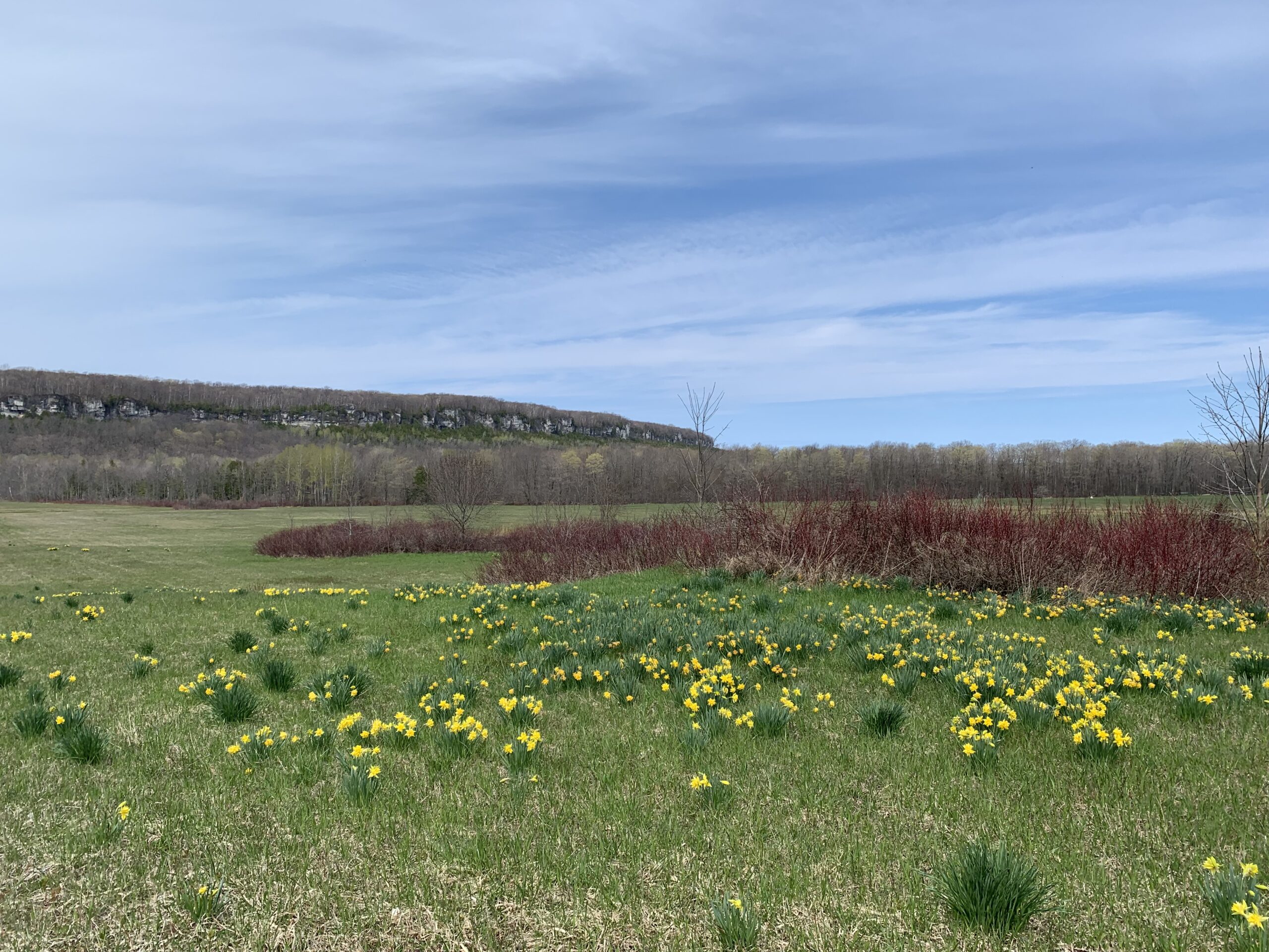
Sydney Bay Loop
https://hikes.brucetrail.org/event/sydney-bay-loop/Sorry, the registration cut-off time for this hike has been reached.Not a member? Click here to join today!Hosting Club: Sydenham, Peninsula
Category: General Hike
Location (Google Maps): The Owen Sound Galaxy Cinema parking lot. Meet at the tall “Galaxy Centre” sign next to the traffic lights.Hike Leader(s): Ian Mills
Pace: Medium: 3 to 4 km/h
Terrain: Strenuous: Hilly with steep climbs and some poor footing., There might be muddy sections., There might be sections with water on the trail.
Distance: 12+ kmDescription
Starting at the end of Pitt Road (Map 36 – south of 38.5km) on the Boundary Bluffs Side Trail north to the Main Trail overlooking Sydney Bay (Map 37) until Hart’s Tongue Side Trail then following the Boundary bluffs Side Trail south to our starting area. This is usually a 4 hour hike excluding stops – we will be taking a lunch break half way. While pace is medium expect a challenging hike with lots of ups and downs. Good hiking footwear is mandatory (boots preferred due to potential water at the end of our hike) and a walking stick can be helpful. Hopefully we will get the opportunity to see a field of daffodils blooming and enjoy some beautiful views.
Dundas Valley - Trilliums, Loops and Waterfalls
https://hikes.brucetrail.org/event/dundas-valley-trilliums-loops-and-waterfalls/Sorry, the registration cut-off time for this hike has been reached.Not a member? Click here to join today!Hike open to BTC Members only.
Hosting Club: Iroquoia
Category: Good Companions
Location (Google Maps): Artaban Road parking lot.
Please note paid parking unless you have a Hamilton Conservation pass.Hike Leader(s): Kathy Rymal Click here to contact Hike Leader(s)
Pace: Medium – 3 to 4 km/hr
Terrain: Moderate – Some hills and/or some poor footing, Strenuous – Hilly with steep climbs and some poor footing
Distance: 7.5 kmDescription
We will be heading along Artaban Road to the Monarch Trail leading to the Main Loop.Nice meanders and hilly climbs along the loop to the Heritage Trail where we will view a few waterfalls on our way back to the parking lot.
Hike will be cancelled in case of rain. I will inform you by email the evening before the hike if this is the case.
Bring water, a snack, sunscreen, insect repellant and your own first aid kit.
Please arrive 15 minutes before start time
Wasaga Beach Spring hike
https://hikes.brucetrail.org/event/wasaga-beach-spring-hike/Sorry, the registration cut-off time for this hike has been reached.Not a member? Click here to join today!Hosting Club: Blue Mountains
Category: Organized Hike
Location (Google Maps): Veterans Drive, Wasaga Beach (see hike description)Hike Leader(s): Arie van Walraven Click here to contact Hike Leader(s)
Pace: Medium – 3 to 4 km/hr
Terrain: Moderate – Some hills and/or some poor footing
Distance: 8 kmDescription
Please join me for a leisure hike through Wasaga Beach Provincial Park. We will meet at the roadside parking on Veterans Way, about 1.4 km south of River Road West. By this time, we will have plenty of leaves and flowers. We will stay on the flat areas as much as possible. This can be modified, depending on the crew. There will be no mud. - 14May 14, 2026
Sydenham E2E, hike 4 of 7
https://hikes.brucetrail.org/event/car-hike-sydenham-e2e-hike-4-of-7/Sorry, the registration cut-off time for this hike has been reached.Not a member? Click here to join today!Hike open to BTC Members only.
Hosting Club: Toronto, Sydenham
Category: Car Hike
Location (Google Maps):East of km 103.3, Young’s drive. Coordinates N 44.568131,W 80.977042 map 32 addition 31.
Hike Leader(s): Smadar Junkin Click here to contact Hike Leader(s)
Pace: Brisk (4-5 km/hr)
Terrain: Challenging, Level 3 (Advanced – steep hills and some scrambling over boulders), Variable
Distance (km): 22 km.Description
We will shuttle to km 81.3 and walk back. Parts of this day’s hike are very challenging. If you need to get in touch with me, use the “Contact Hike Leader” Dialogue Box to send a message. Bring 2 litres of water, food.9:00 Long Hike, Glen Road Jordan
https://hikes.brucetrail.org/event/900-long-hike-glen-road-jordan-7/Sorry, the registration cut-off time for this hike has been reached.Not a member? Click here to join today!Hosting Club: Niagara
Location (Google Maps):
3640 Glen Road Jordan
Pace: Fast 5+ km/hr
Terrain: Strenuous: hilly, with steep climbs, poor footing
: 10 kmDescription
Hike in and around Ball’s Falls and Jordan. Dress for the weather: bring bug spray, sunscreen drink and poles.Seven Rivers Series - Hike 4 of 7
https://hikes.brucetrail.org/event/seven-rivers-series-hike-4-of-7/Sorry, the registration cut-off time for this hike has been reached.Not a member? Click here to join today!Hosting Club: Caledon Hills
Category: General
Location (Google Maps): Noisy River – Blue Mountains Section.
Meet at roadside parking south side of County Road 9 at km 6.1Hike Leader(s): Nancy Mooney Click here to contact Hike Leader(s)
Pace: Medium – 3 to 4 km/hour
Terrain: Moderate – some hills and/or some poor footing
Distance: 13.4 kmDescription
This is the fourth hike in the series and will take us through the Noisy River Provincial Nature Reserve.Hiking around Jordan
https://hikes.brucetrail.org/event/hiking-around-jordan-54/Sorry, the registration cut-off time for this hike has been reached.Not a member? Click here to join today!Hosting Club: Niagara
Location (Google Maps): Sho’Arishon Park (Jordan Hollow)
Hike Leader(s): Bill Russell Click here to contact Hike Leader(s)
Pace: Medium 3- 4 km/hr
Terrain: Moderate: some hills and some poor footing
Distance: 7 kmDescription
Hiking in and around Jordan, Balls Falls and Jim Rainforth Trail alternating every 3 weeks.Urban Walk: Valley View Park Thornhill
https://hikes.brucetrail.org/event/urban-walk-valley-view-park-thornhill-168/Sorry, the registration cut-off time for this hike has been reached.Not a member? Click here to join today!Hosting Club: Toronto
Location (Google Maps): Parking lot is off Sycamore Drive, East of Bayview , across Starbucks plaza
Bus 91 from Finch East station stops at Sycamore station.Hike Leader(s): MOHAMMAD AGHAMIRI Click here to contact Hike Leader(s)
Pace: Moderate (3-4 km/hr)
Terrain: Hilly, Level 2 (Intermediate – some hills and uneven surfaces, rocks and roots underfoot)
Distance (km): 6-7 kmDescription
We will explore Valleyview and Maple View parks, and walk along German Mill Creak, in return we stop in Huntington park and have snack under beautiful shed.Although this is considered an “Urban Walk”, you can expect some hills up and down and uneven surfaces with tree roots. Please bring hiking poles, Ice cleats water and snacks.
Pine River Tree Planting
https://hikes.brucetrail.org/event/pine-river-tree-planting/Sorry, the registration cut-off time for this hike has been reached.Not a member? Click here to join today!Hosting Club: Dufferin Hi-Land
Category: Special Events
Location (Google Maps): Bruce Trail Parking Lot:
Off 15th Sideroad, 50 meters west of the stop sign at the intersection of Prince of Wales and 15th SideroadHike Leader(s): Cathy Hughes Click here to contact Hike Leader(s)
Pace: Leisurely
Terrain: Easy
Distance: 3 kmDescription
Join members of the DHBTC Biodiversity Committee and Bruce Trail Conservancy Ecologists to help plant trees at the recently established Pine River Parking Lot. The area surrounding the parking lot requires some natural restoration. We will be pulling burdock plants and replacing them with a variety of native tree species.If time permits, a short hike of the area will occur after planting.
Please bring water, sturdy boots or shoes and gloves if you have them. Shovels will be provided.
1:30 p.m. Pack Walk
https://hikes.brucetrail.org/event/130-p-m-pack-walk-3/Sorry, the registration cut-off time for this hike has been reached.Not a member? Click here to join today!Hosting Club: Niagara
Category: Loop
Location (Google Maps): Merritt Island Park, Welland Canal Trail, Welland, ON – parking lot 8 Merritt Island BuildingHike Leader(s): Sam Rutherford Click here to contact Hike Leader(s)
Pace: Leisurely <3 km/hr
Terrain: Easy: mostly flat, good footing
Distance: 5 kmsDescription
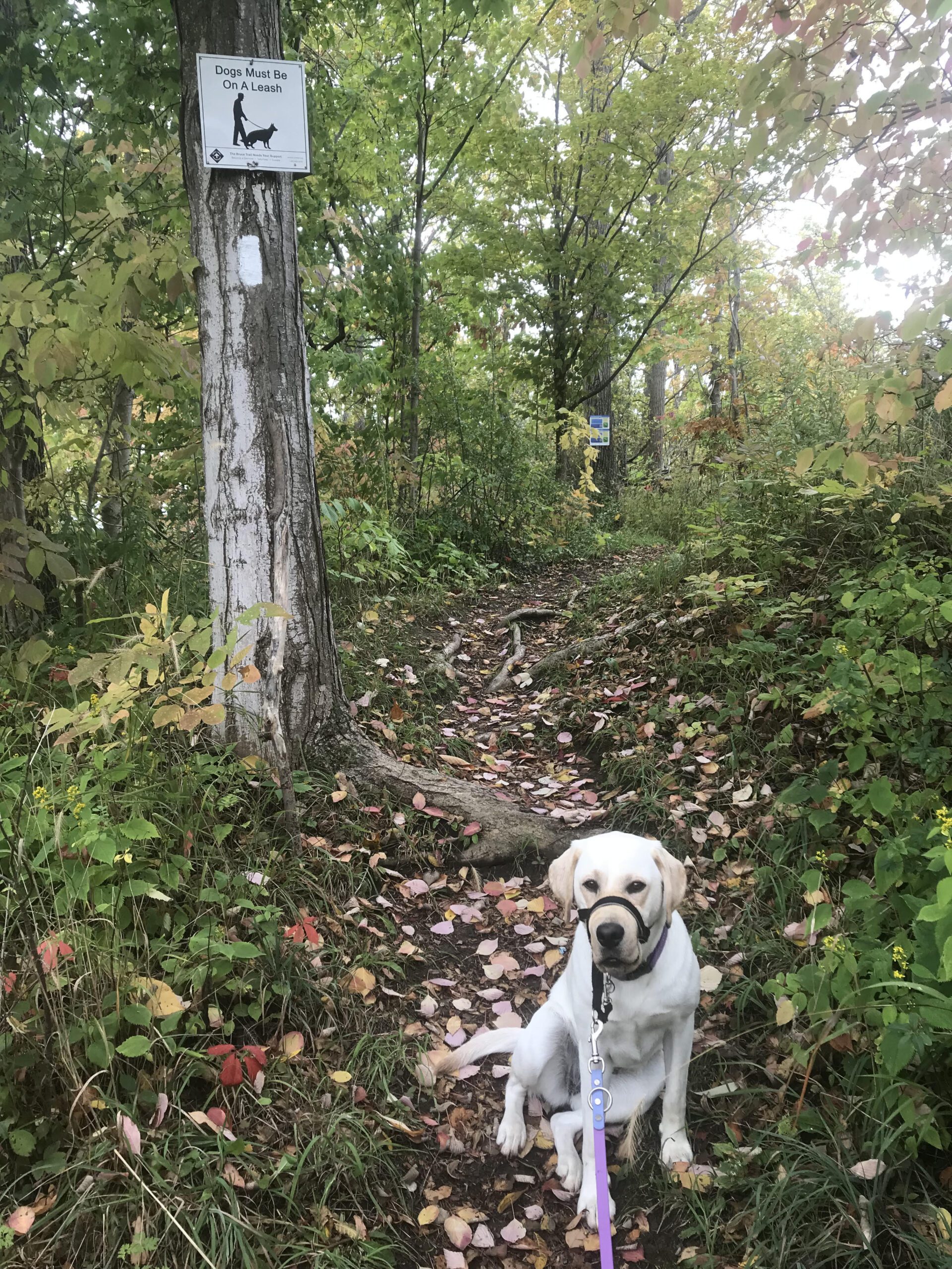
This pack walk is a structured group walk where dogs and their handlers walk together on-lead in a natural environment. It promotes exercise, calm socialization and exposure to other dogs and people in a safe, controlled setting. We will meet at the Merritt Island Building and follow the Welland Canal Trail out to Woodlawn Road and loop back. Dogs must be kept on-lead and under control at all times. Please bring water and treats for you and your dog.
Urban Walk: Toronto Islands Evening Walk
https://hikes.brucetrail.org/event/urban-walk-toronto-islands-evening-walk-20/Sorry, the registration cut-off time for this hike has been reached.Not a member? Click here to join today!Hosting Club: Toronto
Location (Google Maps):
Jack Layton Ferry Terminal, by the gate to the Wards Island Ferry. Please arrive 20 minutes prior to departure to check in with hike leader.
From Union Station take the LRT and get off at the stop Ferry Docks.Walk up to the Ferry Docks on Queens Quay West, street level. at the foot of Bay Street.
Hike Leader(s): Miriam Stevens Click here to contact Hike Leader(s)
Pace: Leisurely (2-3 km/hr)
Terrain: Flat, Level 1 (Easy – mostly on flat, well maintained trails with hard-packed surface)
Distance (km): 6-9 kmDescription
After a day’s work come and “cool off” on the Toronto Islands free of fumes and traffic. Enjoy the view of the city skyline and Toronto’s beautiful island parkland.
Pack a dinner for a sit down picnic. Also bring a warm jacket and flashlight.
Return fare ticket for the ferry is $9.57 for adults, $6.15 for seniors
Please check the hike schedule for weather related cancellations (hike will be updated by 11:00 AM day of the hike if any changes)
Toronto Island evening hikes will take place every Thursday in May and June 2026.
Same time and same meeting place. No preregistration is required – just show up at the ferry docks at 5:40 PM and sign in with the hike leader. - 15May 15, 2026
Garlic Mustard Work Party
https://hikes.brucetrail.org/event/garlic-mustard-work-party/Sorry, the registration cut-off time for this hike has been reached.Not a member? Click here to join today!Hosting Club: Blue Mountains
Category: Work Party
Location (Google Maps): Do not go to Tim Horton’s — go directly to the Timpson property as noted below.Hike Leader(s): Robert Dowding Click here to contact Hike Leader(s)
Description
This is a work party to pull and collect the invasive weed, Garlic Mustard. Please bring gloves and mosquito/black fly protection is advised.Car Hike: Victoria Day Weekend in the Lower Bruce Peninsula (3 nights)
https://hikes.brucetrail.org/event/car-hike-victoria-day-weekend-in-the-lower-bruce-peninsula-3-nights-3/Sorry, the registration cut-off time for this hike has been reached.Not a member? Click here to join today!Hosting Club: Toronto, Peninsula
Category: Car Hike
Location (Google Maps):Evergreen Resort (Red Bay)
139 Resort Rd.
Wiarton, ON H0H 2T0Hike Leader(s): Jeanette Vincent, Brenda Menezes, David Royle Click here to contact Hike Leader(s)
Pace: Moderate (3-4 km/hr)
Terrain: Level 2 (Intermediate – some hills and uneven surfaces, rocks and roots underfoot)
Distance (km): approx. 13-15 kmDescription
We continue Greg Vincent’s legacy of weekends away. Please join Jeanette Vincent, Brenda Menezes and David Royle as we explore the Lower Bruce Peninsula. The spring flowers will welcome us to the trails. We stay and have our meals at Evergreen a comfortable resort at Red Bay. Each day we will hike the Bruce Trail and its side trails to form loops with great views of Georgian Bay and its islands. The carpet of trilliums is the best along the length of the Bruce Trail along with other spring ephemerals. Approximately 15km/day.This outing is restricted to those staying with us at Evergreen Resort for the weekend. You will need a car to access this outing.
Before registering at Evergreen Resort, please contact us for the price package for your accommodation and more details.
Then please contact Evergreen Resort for a reservations 1-519-534-1868 or frontdesk.evergreenresort@gmail.com and mention Vincent Wild Flower Victoria Day weekend. Once you are registered at Evergreen Resort then add your name to the TBTC registration online form for this outing. Space is limited.
Sydenham E2E, hike 5of 7
https://hikes.brucetrail.org/event/car-hike-sydenham-e2e-hike-5of-7/Sorry, the registration cut-off time for this hike has been reached.Not a member? Click here to join today!Hike open to BTC Members only.
Hosting Club: Toronto, Sydenham
Category: Car Hike
Location (Google Maps):West of km 125.7, Lindenwood Rd. Coordinates N 44.685276,W 80.995970 map 33 addition 31.
Hike Leader(s): Smadar Junkin Click here to contact Hike Leader(s)
Pace: Brisk (4-5 km/hr)
Terrain: Challenging, Level 3 (Advanced – steep hills and some scrambling over boulders), Variable
Distance (km): 22.4 kmDescription
Day 5, we will shuttle to km 103.3 and hike back. Bring food and 2litres of water. If you need to get in touch with me, use the “Contact Hike Leader” Dialogue box to send a message.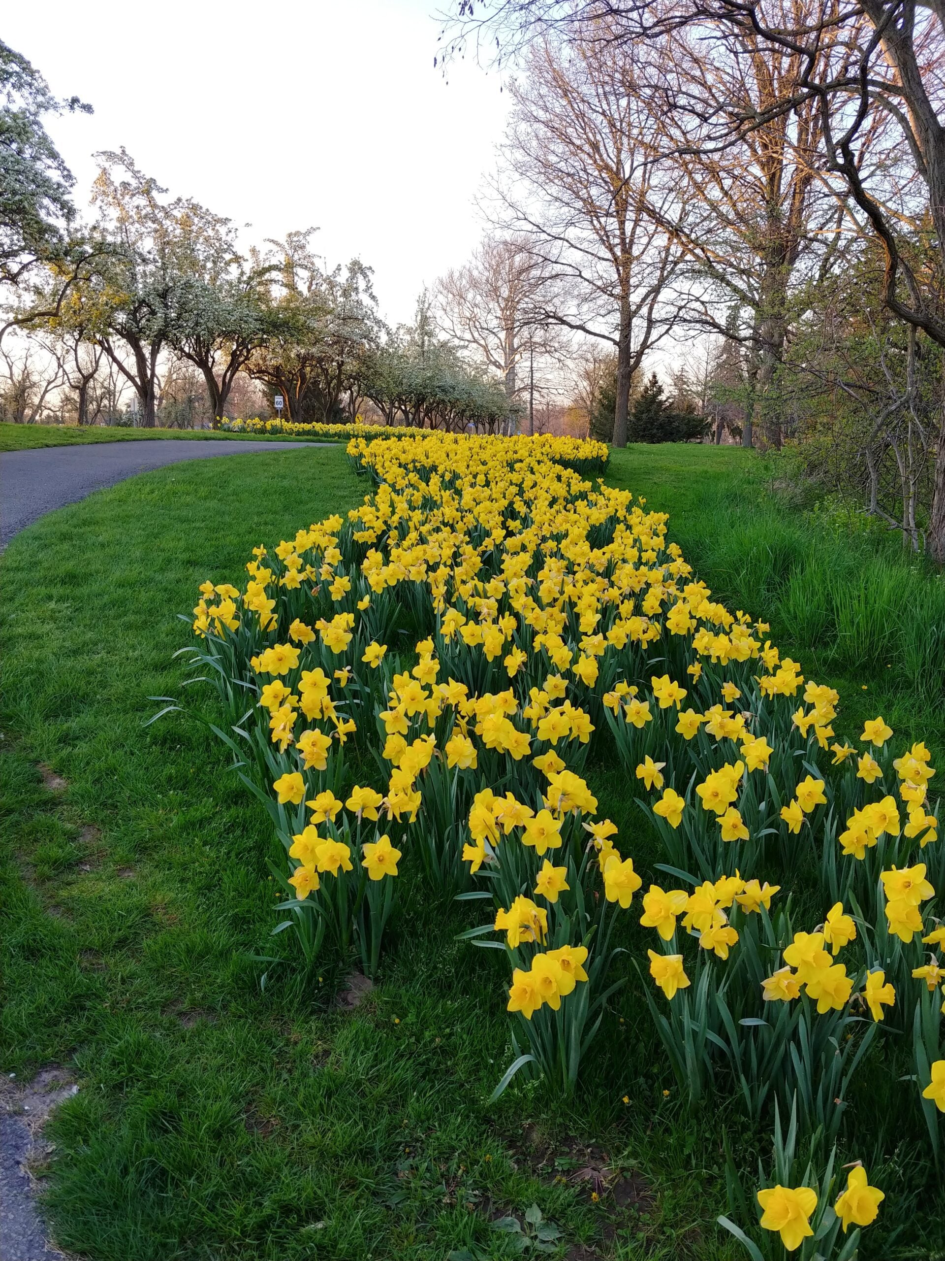
9:00 am Niagara-on-the-Lake Tour
https://hikes.brucetrail.org/event/900-am-niagara-on-the-lake-tour-61/Sorry, the registration cut-off time for this hike has been reached.Not a member? Click here to join today!Hike open to BTC Members only.
Hosting Club: Niagara
Category: Urban
Location (Google Maps):Veterans Memorial Park, park just outside the park on King Street
Hike Leader(s): Robin Garrett Click here to contact Hike Leader(s)
Pace: Leisurely <3 km/hr
Distance: 6-7 km
Description
Each Friday we will explore different neighbourhoods, trails and parkland throughout Historic Niagara-on-the-Lake.Moderate pace with some weeks entirely on sidewalks and roads while others may include a mix of trails and paved pathways. Great way to build up endurance for longer more strenuous hikes.
Prepare for cooler windy conditions on open parkland and along Lake Ontario and Niagara River trails.
Plan to stay for conversation and a warm cup of coffee or tea at Sweets & Swirls, Community Centre, Niagara Stone Road, NOTL
Brisk Fridays - Skinner's Bluff to Bruce's Caves
https://hikes.brucetrail.org/event/brisk-fridays-skinners-bluff-to-bruces-caves/Sorry, the registration cut-off time for this hike has been reached.Not a member? Click here to join today!Hosting Club: Sydenham
Category: General Hike
Location (Google Maps): Bruce’s Caves Conservation Area, 5.5 km east of Wiarton on Grey Rd 1. GPS 44.7687, -81.0846 Map 35 km 163.7Hike Leader(s): Stewart Brown Click here to contact Hike Leader(s)
Pace: Brisk: 4 to 5 km/h
Terrain: Moderate: Some hills and/or poor footing, Strenuous: Hilly with steep climbs and some poor footing.
Distance: 14 kmDescription
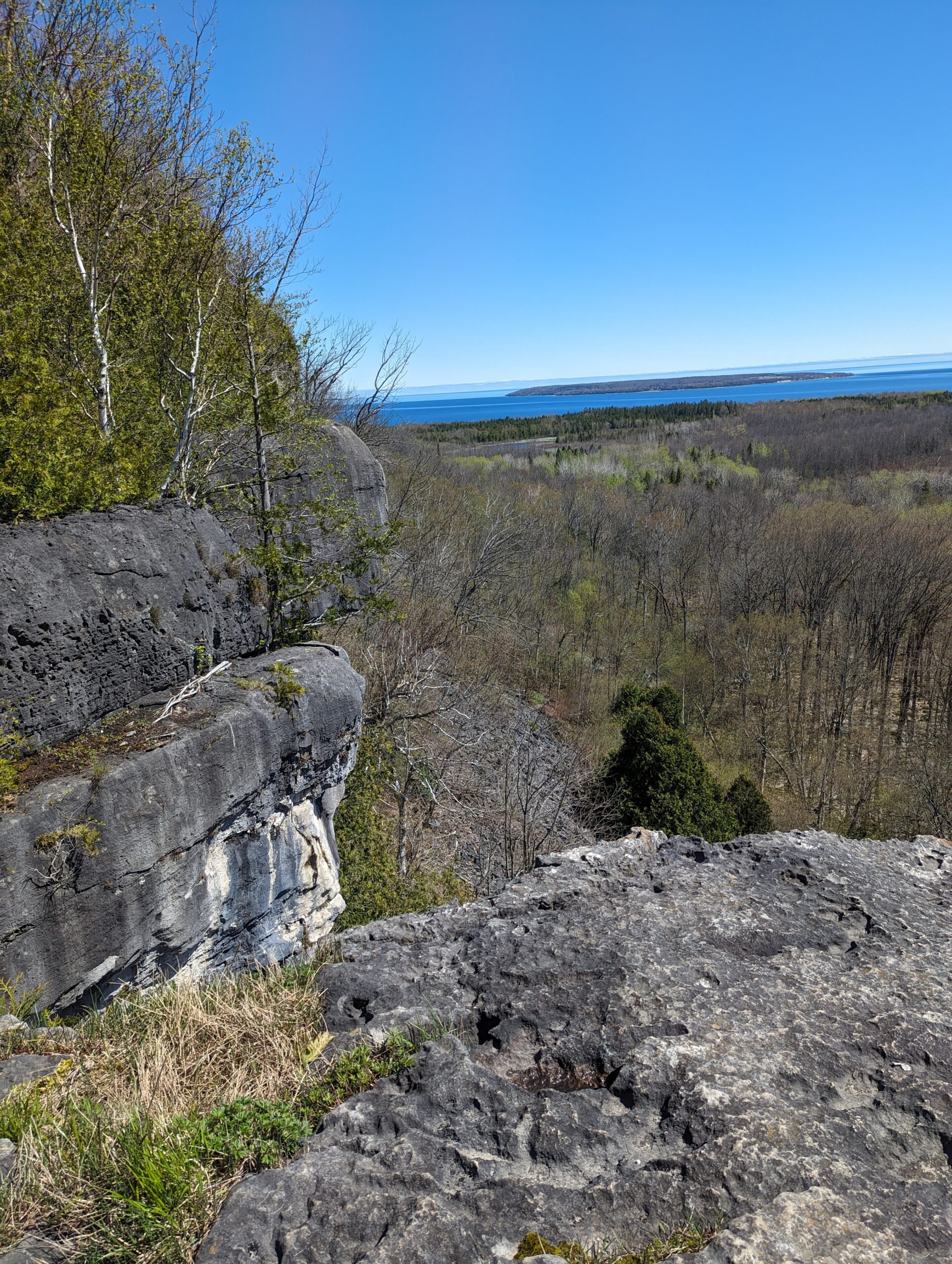
Brisk Fridays hikes are, um, brisk-paced, fun and energetic. We do take time to stop and appreciate points of interest. From parking at Bruce’s Caves we will carpool to the hike start at spectacular Skinner’s Bluff. There are awesome views over Georgian Bay to enjoy as we follow the escarpment main trail and some forested side trails beofre reaching the amazing finale of exploring Bruce’s Caves, a very cool geological formation.Hilton Falls Side Trail
https://hikes.brucetrail.org/event/hilton-falls-side-trail-2/Sorry, the registration cut-off time for this hike has been reached.Not a member? Click here to join today!Hike open to BTC Members only.
Hosting Club: Dufferin Hi-Land
Category: General Hike
Location (Google Maps): Hilton Falls Conservation Area parking lot in front of second gate. We will organize shuttle from there. See Google Map link for GPS. Halton Conservation online parking reservation required. Please arrive at 9:00 am ready to shuttle for 9:15.Hike Leader(s): Stuart Law Click here to contact Hike Leader(s)
Pace: Medium
Terrain: Dependent on Conditions, Slippery Sections Likely, Moderate
Distance: 18,2 kmsDescription
Join us on a quiet woodland hike on the Hilton Falls Side Trail from Speyside to Hilton Falls. This is a shuttle hike so please bring a change of footwear and two garbage bags. Hiking boots mandatory. Poles recommended. Please bring a snack, warm drink, water, lunch and a smile. Please arrive at 9:00 am ready to shuttle for 9:15. Halton Conservation online parking reservation required.Car Hike: Fitness hike in the Hockley Valley (spring flowers hike)
https://hikes.brucetrail.org/event/car-hike-midweek-fitness-hike-in-the-hockley-valley-spring-flowers-hike-2/Sorry, the registration cut-off time for this hike has been reached.Not a member? Click here to join today!Hosting Club: Toronto, Caledon Hills
Category: Car Hike
Location (Google Maps):Hockley Valley Provincial Nature Reserve
Hike Leader(s): Natalia Svechnikova Click here to contact Hike Leader(s)
Pace: Moderate (3-4 km/hr)
Distance (km): about 14 km
Description
Please join me for an enjoyable spring flowers hike on the Bruce Trail (main and side trails). We will be following a loop of ca 14 km and try to keep a moderate pace of about 3 km/h. The trail is a bit hilly with a few uphill sections after which we will stop for short water breaks. There will be a lunch break for about 20 min. We should be back to the parking lot around 3:30 pm.Please be dressed for the weather, wear hiking shoes/boots and pack your rain gear (just in case), at least 2 L of water, light lunch and snacks, your sunglasses and/or hut.
We will meet on the dedicated Hockley Valley PNR / Bruce Trail parking lot on the Hockley Road (opposit side of the Hockley Valley Resort and the Black Birch Restaurant (exact map location
43.9728974807774, -80.05570691699788) just before 10:30 am and start hiking at 10:30 am.
Please note that this hike will be cancelled in case of inclement weather.
Afternoon hike - Limehouse Conservation Area
https://hikes.brucetrail.org/event/afternoon-hike-limehouse-conservation-area-2/Sorry, the registration cut-off time for this hike has been reached.Not a member? Click here to join today!Hosting Club: Iroquoia
Category: Afternoon/Evening Hikes
Location (Google Maps): Meet at 4:15 pm in the parking lot at Limehouse Conservation Area.Hike Leader(s): Karen Bergmann Click here to contact Hike Leader(s)
Pace: Medium – 3 to 4 km/hr
Terrain: Moderate – Some hills and/or some poor footing
Distance: 7 kmsDescription
The trees will be leafing out so we will be surrounded by green. We will hike around the park and then briefly out along the main trail to the Todd Bardes Meadowland Side Trail and back. Bring bug spray in case they have awakened. - 16May 16, 2026
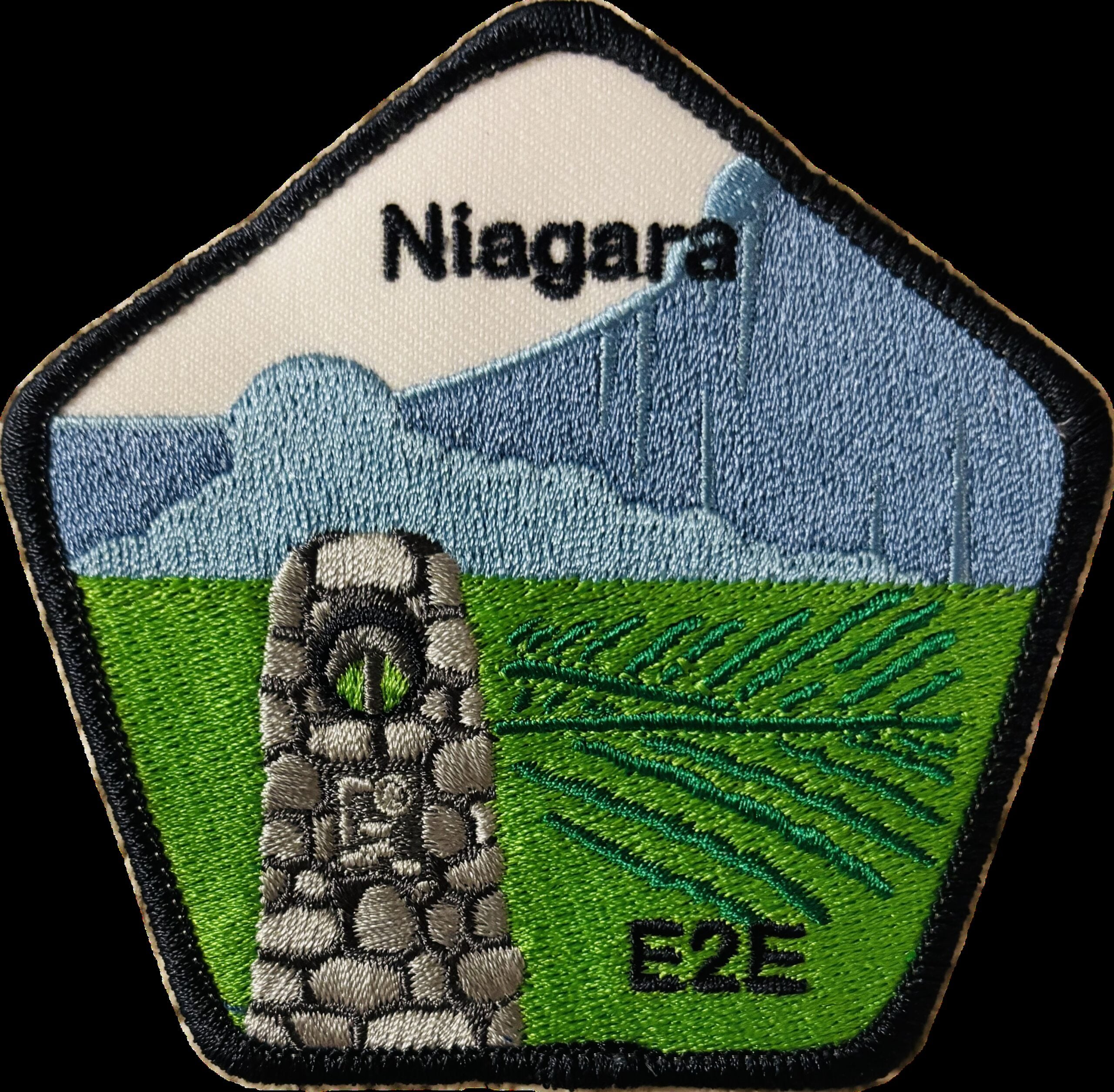
Niagara E2E in Three
https://hikes.brucetrail.org/event/niagara-e2e-in-three-3/Sorry, the registration cut-off time for this hike has been reached.Not a member? Click here to join today!This is a Multi-Day Hike
You are signing up for the following dates and times:
2026-05-16 at 07:00
2026-05-17 at 07:00
2026-05-18 at 07:00Hosting Club: Niagara
Category: Event Hikes
Location (Google Maps): Saturday May 16: Lions Swimming Pool Elm St. Grimsby 43.193664,-79.564864 * Notification will be sent if additional parking required.
Sunday May 17 : Brock University, 1812 Issac Brock Way. *Lot # and Coordinates TBA at later date and notification forthcoming.
Monday May 18 : Queenston Heights Park, 14184 Niagara River Parkway, Niagara-on the-Lake 43.159314,-79.055405 * Parking passes will be provided prior to boarding the bus.Hike Leader(s): Mary Ann Enns Click here to contact Hike Leader(s)
Pace: Leisurely <3 km/hr
Terrain: Moderate: some hills and some poor footing
Distance: 83.3km. Day 1: 25km; Day 2: 27km. Day 3: 28kmDescription
Thank you for register for Niagara’s annual self-guided End-2-End in three days. You will enjoy an unforgettable trek along the adventurous Niagara Escarpment.Your journey will begin in Grimsby, at the western end of the Niagara Bruce Trail and finish at the Queenston Cairn, the southernmost point of the Bruce Trail. Along the way, you will experience spectacular escarpment views while hiking through scenic wineries, cascading waterfalls and vibrant orchards and Niagara’s most beautiful and ionic landscapes.
To keep you energized and supported, Niagara’s amazing volunteers will greet you at designated checkpoints on all three days of the hike. Checkpoints will be located every 10 kms and will offer nutritious snacks, water refills, a place to rest and plenty of encouragement to keep you moving forward. In addition Niagara volunteer Trail Angels will be available throughout the hike to provide assistance whenever required. Checkpoint coordinate and Trail Angel information will be issued well in advance.
Please arrive by 6.30am each day of your hike. The bus will depart promptly at 7am.
Pack for the weather and terrain, cell phone is important, appropriate footwear, poles, Bruce Trail trail map or Bruce trail App.
Hikers are responsible for informing Organizing personnel of their intentions to drop out during the hike.
Attention Trail Runners: Please contact the Hike Leader with your approximate pace so our checkpoint volunteers can be prepared when you arrive. Thank you
Brock University Accommodations: available on their website
Niagara College ( Niagara Site) Accommodations: available on their website
We can’t wait to cheer you on and be part of your E-2-E journey.
Proceeds support Niagara Bruce Club which in turns supports The Bruce Trail Conservancy’s mission to “Preserving a ribbon of wilderness, for everyone, forever”.
Saturday Only (Niagara End 2 End)
https://hikes.brucetrail.org/event/saturday-only-niagara-end-2-end-2/Sorry, the registration cut-off time for this hike has been reached.Not a member? Click here to join today!Hosting Club: Niagara
Category: Event Hikes
Location (Google Maps): Saturday May 16: Lions Swimming Pool Elm St. Grimsby 43.193664,-79.564864. *Notification will be sent if additional parking is required.Hike Leader(s): Mary Ann Enns Click here to contact Hike Leader(s)
Pace: Leisurely <3 km/hr
Terrain: Moderate: some hills and some poor footing
Distance: 27 kmDescription
This is the NBTC Annual End 2 End Event 1 day hike from Balls Falls to Grimsby. This a self guided hike. The hike is conjunction with Niagara’s End to End in Three.Distance 25 km.
Please arrive by 6.30 am to check in. Buses will depart promptly at 7am . Participants will be transported by bus from check in to the start ( Balls Falls) and will hike at their own pace to final checkpoint ( Grimsby).
Niagara’s amazing volunteers will greet you at approximately every 10km be to replenish water, and nutritious snacks, a place to rest and plenty of encouragement to keep you moving forward. In addition Trial Angles, will also be available throughout the day to provide to assistance whenever needed.
Checkpoint coordinates and trail Angel contact information will be shared to you well in advance.
Attention Trail Runners: Please contact the Hike Leader with your approximate pace so our checkpoint volunteers can be ready for you when you arrive
Pack for weather and terrain, cell phone is important to bring, appropriate footwear, poles if you prefer, basic first aid supplies and trail map or app. Hikers are responsible for informing Organizing personnel of their intention to drop out during the hike.
Fee includes, bus and checkpoints.
Proceeds support Niagara Bruce Club which in turn supports The Bruce Trail Conservancy mission to “Preserving a ribbon of wilderness for everyone forever”.
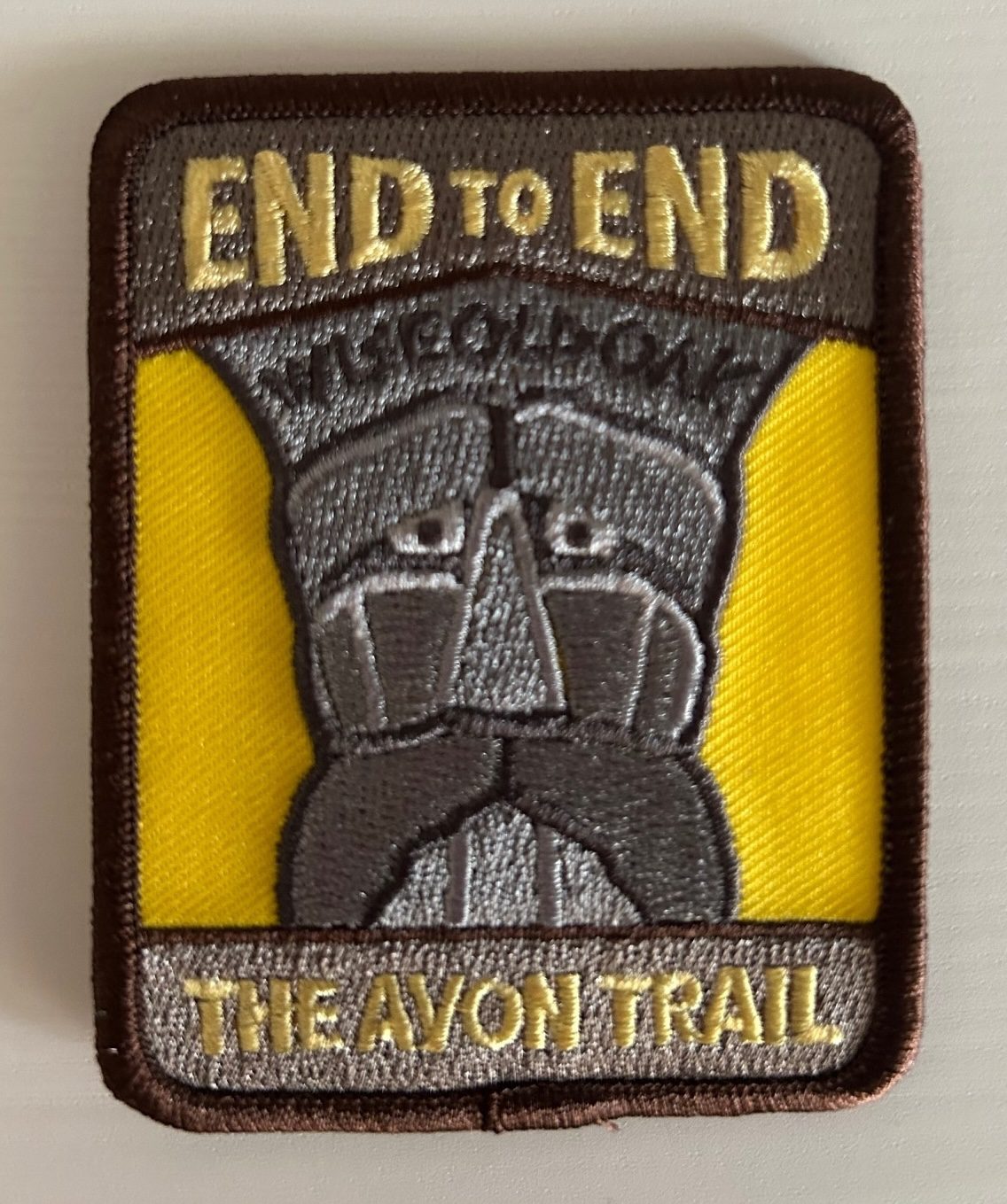
Avon Trail E2E in 5
https://hikes.brucetrail.org/event/avon-trail-e2e-in-5/Sorry, the registration cut-off time for this hike has been reached.Not a member? Click here to join today!This is a Multi-Day Hike
You are signing up for the following dates and times:
2026-05-16 at 08:00
2026-05-17 at 08:00
2026-05-18 at 08:00
2026-05-23 at 08:00
2026-05-24 at 08:00Hosting Club: Iroquoia
Category: General Hike
Location (Google Maps): Day 1 – May 16,2026 – 26.8km
meet at Oxford Line 33 shoulders. Coordinates: 43.2526, -80.9853
shuttle to Water St N beside tennis courts. Coordinates: 43.2491, -81.1498Day 2 – May 17,2026 – 24.8km
Meet at Perth Road 111. Coordinates: 43.3764, -80.9377
shuttle to Oxford Line 33 shoulders. Coordinates: 43.2526, -80.9853Day 3 – May 18,2026 – 20.9
Meet at Peth Rd. 104. 8 spots north of trail head at Lisbon Cemetery; do not block entrance to cemetery. Coordinates: 43.4362, -80.7882
shuttle to Perth Road 111. Coordinates: 43.3764, -80.9377Day 4 – May 23, 2026 – 29km
Meet at Wideman Rd, shoulder. Coordinates: 43.4714, -80.6159
Shuttle to Peth Rd. 104. 8 spots north of trail head at Lisbon Cemetery; do not block entrance to cemetery. Coordinates: 43.4362, -80.7882Day 5 – May 24, 2026 – 27km
Meet at Golf Course Rd / Priddle Park, parking sth side for several cars, or at display board at bend in road. Coordinates: 43.5418, -80.494
Shuttle to Wideman Rd, shoulder. Coordinates: 43.4714, -80.6159Hike Leader(s): IgorT Click here to contact Hike Leader(s)
Pace: Brisk – 4 to 5 km/hr, Medium – 3 to 4 km/hr
Terrain: Dependent on Conditions, Moderate – Some hills and/or some poor footing
Distance: 25-30Description
Please join me to explore Avon trail E2E in 5 days.We going to hike 20 – 30 km a day.
This is a Challenger series of hikes; we will complete the entire 128 km of the Avon trail in 5 hikes.
You are welcome to come on just a few of the hikes or on all of them, but you will have to complete the missing areas of the trail on your own and submit the log for the E2E badge.
You can join WhatApp group if you wish to share photos and conversation about the hike.
By the end of the hike, you can apply for badge thru https://avontrail.ca/ or badge can be provide to you at last day. There 3 different options of you choose.
We meet at meeting point at 8am every day. Please arrive 10min before.
Please know your physical limit before signing up for this hike. The trail is a combination of road and trails.
Hikers will be expected to participate in shuttling to and from the hike. Responsibility will be shared equally.
Please bring at least 2l of water and enough snacks & lunch to get you through the day as well as bug spray, sunscreen, a first aid kit and poles if you use them. There are no dropouts. If you cannot finish the hike, you will be responsible for getting back to your vehicle.
No dogs.
Any questions may be directed through contact on this form.
If you cannot make it, please remove yourself from registration so that a spot can be opened for someone else.Car Hike: Blue Mountains E2E #1/4
https://hikes.brucetrail.org/event/car-hike-blue-mountains-e2e-1-4/Sorry, the registration cut-off time for this hike has been reached.Not a member? Click here to join today!Hosting Club: Toronto, Blue Mountains
Category: Car Hike
Location (Google Maps): Meet up roadside parking on Mulmur-Nottawasaga Townline, 550 meters east of Lavender Hill Rd in front of the cemetery. GPS N44.268777, W80.156810.Hike Leader(s): Ross Estrella Click here to contact Hike Leader(s)
Pace: Brisk (4-5 km/hr), Moderate (3-4 km/hr)
Terrain: Challenging, Hilly, Level 2 (Intermediate – some hills and uneven surfaces, rocks and roots underfoot), Rocky
Distance (km): 22kmDescription
Day 1/4 of BMBTC E2E. Hikers must complete the entire Blue Mountain section to earn and receive their badge upon completion. Missed segment/s must be made up prior to the completion of the last segment to receive your badge. Hikers who are completing their missed section of BMBTC are welcome to join. This segment will pass thru the Noisy River Provincial Nature Reserve and Nottawasaga Bluffs Conservation Area. Expect some challenging rolling hills, rocks and underfoot trail but you’ll be rewarded with stunning beauty of the surrounding landscape. We’ll be on a moderate to brisk pace. Day hike essentials to bring; lunch/snacks, sufficient liquid hydration of your choice, sun screen, bug spray, head covering for sun protection and dress appropriately for the forecasted weather. As we are in the middle of spring season some section could be muddy/slippery therefore, hiking poles, waterproof hiking shoe and gaiter are strongly recommended. Fifteen minutes early arrival is expected and please make sure your car ready for shuttling.We’ll shuttle to small parking area off 15/16 Sideroad accessible only from Con 10 South. GPS N44.342784, W80.210628
Cost of badge is ten dollars for BTC members and fifteen dollars for non members.
Sydenham E2E hike 6 of 7
https://hikes.brucetrail.org/event/car-hike-sydenham-e2e-hike-6-of-7/Sorry, the registration cut-off time for this hike has been reached.Not a member? Click here to join today!Hike open to BTC Members only.
Hosting Club: Toronto, Sydenham
Category: Car Hike
Location (Google Maps):Same location as day 5.
Hike Leader(s): Smadar Junkin Click here to contact Hike Leader(s)
Pace: Brisk (4-5 km/hr)
Terrain: Challenging, Level 3 (Advanced – steep hills and some scrambling over boulders), Variable
Distance (km): 23 kmDescription
We will shuttle to km 148.5 and walk back. We will walk about 22 kms. If you need to get in touch with me, use the “Contact Hike Leader” Dialogue Box to send a message. Bring 2 litres of water, food. Be in the meeting place 15 minutes early.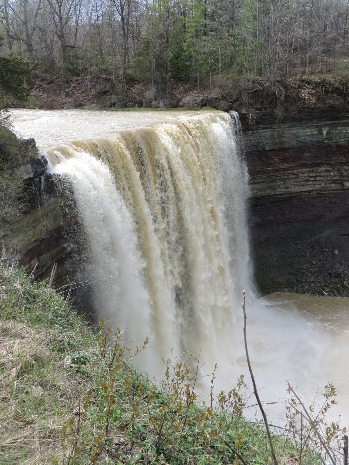
School Bus Hike: Louth Falls and Ball's Falls
https://hikes.brucetrail.org/event/school-bus-hike-louth-falls-and-balls-falls/Sorry, the registration cut-off time for this hike has been reached.Not a member? Click here to join today!Trip Information
Departure Time: 08:30
Return to City Time: 18:00
Departure Point: Kipling Departure PointOptional Items
Hosting Club: Toronto
Category: Bus Hike
Location (Google Maps): Balls Falls, Louth CAHike Leader(s): Felix Wan; Tim Wainwright Click here to contact Hike Leader(s)
Pace: Moderate (3-4 km/hr)
Terrain: Hilly, Level 2 (Intermediate – some hills and uneven surfaces, rocks and roots underfoot), Rocky, Variable
Distance (km): 11Description
Join us for a hike and enjoy beautiful waterfalls in the Niagara region. We’ll start at Louth Conservation Area, looping around side trails and a falls along Sixteen Mile Creek. Next, we’ll pass by Louth Falls before we continue along the main Bruce Trail to Ball’s Falls. There, we’ll take in the spectacular sights of the lower falls (11 metres high) and upper falls (27 metres high). Our route is covered on Bruce Trail Maps #3 and 4.There are a few uphill climbs, including one up a 121-step staircase to reach Ball’s Falls. A 1.8-km stretch of road walking is also involved.
The total hike distance is approximately 11 km, and there will be a dropout point after approximately 8 km. Time permitting, we will have a refreshment stop in Grimsby.
It is springtime, so wet and muddy trail conditions are possible. Hiking boots, poles, and gaiters are recommended.
Trillium hike Richmond Hill
https://hikes.brucetrail.org/event/car-hike-bethesda-trail-richmond-hill-38/Sorry, the registration cut-off time for this hike has been reached.Not a member? Click here to join today!Hosting Club: Toronto
Location (Google Maps): Oak Ridges Corridor, Bethesda Trail Head Parking Lot, Bethesda Side Road, Richmond Hill, Ontario
Hike Leader(s): Mohammad Aghamiri Click here to contact Hike Leader(s)
Pace: Moderate (3-4 km/hr)
Terrain: Hilly, Level 2 (Intermediate – some hills and uneven surfaces, rocks and roots underfoot), Variable
Distance (km): 14-15 kmDescription
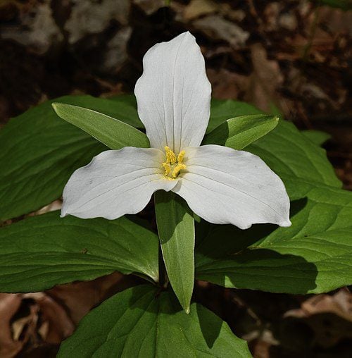
Join us to explore the trails of York Regional Forest and the Oak Ridges Corridor at Jefferson Forest and Bond lake,Now is the trillium time come and view thousands of this beautiful flower.
The White Trillium became Ontario’s official flower in 1937. The Trillium blooms in early spring throughout the province, with its white blossom associated with peace and hope.
From parking lot we hike thought Jefferson forest and continue to Bond Lake and have snack beside the lake and return to parking around 13 to 13.30
Please bring lots of water and snacks ,hiking poles are recommended
phone number for the day of hike 289 588 6482

Beaver Valley Blantyre
https://hikes.brucetrail.org/event/beaver-valley-blantyre/Sorry, the registration cut-off time for this hike has been reached.Not a member? Click here to join today!Hosting Club: Caledon Hills
Category: General
Location (Google Maps): We will meet at Blantyre, and then shuttle to Side Road 22 C & 3rd Line C, 99.9 km point on BT Reference Guide Edition 31, and hike to the end of the Beaver Valley section.Hike Leader(s): Dan Patterson Click here to contact Hike Leader(s)
Pace: Brisk – 4 to 5 km/hour, Medium – 3 to 4 km/hour
Terrain: Moderate – some hills and/or some poor footing
Distance: 17.9 kmDescription
Bring sufficient water, lunch, snacks, bug repellent and great attitude! Hiking poles are useful in this area.Birding Hike #1
https://hikes.brucetrail.org/event/birding-hike-1/Sorry, the registration cut-off time for this hike has been reached.Not a member? Click here to join today!Hosting Club: Blue Mountains
Category: Organized Hike
Location (Google Maps): We will meet at Tim’s and carpool to parking on 9/10 Sideroad Nottawasaga south of Nottawasaga Bluffs CA.Hike Leader(s): Jim Lewis Click here to contact Hike Leader(s)
Pace: Leisurely – 3 km/hr. or less
Terrain: Moderate – Some hills and/or some poor footing
Distance: 5kmDescription
Please join us for this birding hike, led by birding enthusiasts Dick Edwards and Jim Lewis. We will meet at Tim’s on 1st Street in Collingwood and carpool to Conc 10 Nottawasaga and follow the trail east past a beautiful meadow where Bobolinks nest. We will look for singing males defending their territories. There is a mix of hardwoods, cedars, and a sparkling stream that should provide more birds and spring wildflowers. We will loop back to our cars having completed about a 5 km hike. Bring your binoculars!
Spaces will be limited to 15 hikers, so please register in advance.Car Hike: Scotsdale Farm
https://hikes.brucetrail.org/event/car-hike-scotsdale-farm-20/Sorry, the registration cut-off time for this hike has been reached.Not a member? Click here to join today!Hosting Club: Caledon Hills
Category: General
Location (Google Maps): Scotsdale Farm, Map 13. Directions; from Highway 401, head north on Trafalgar Road past Georgetown. Trafalgar briefly merges with Highway 7 for about 3 km before separating to the right at the village of Silver Creek. At the stop light in Silver Creek, continue north on Trafalgar Road for about 1 km to the entrance of Scotsdale Farm on your right. Drive in about half a kilometre to reach the parking area.Hike Leader(s): Lana Hubbard Click here to contact Hike Leader(s)
Pace: Medium – 3 to 4 km/hour
Terrain: Moderate – some hills and/or some poor footing
Distance: 12 kmDescription
Join us for a loop hike along the main Bruce Trail and its scenic side trails, including the stunning Great Esker Side Trail.Please dress appropriately for the weather, bring plenty of water, and pack some snacks. Note that parts of the trail are rocky, so poles are highly recommended.
We are committed to fostering an inclusive and welcoming environment. This hike is an LGBTQ+ safe space, and everyone is encouraged to join us!
Geology Hike and Badge Series - Malcolm Bluff
https://hikes.brucetrail.org/event/geology-hike-and-badge-series-malcolm-bluff/Sorry, the registration cut-off time for this hike has been reached.Not a member? Click here to join today!Hosting Club: Peninsula
Category: Geology Hike
Location (Google Maps): Malcolm BluffHike Leader(s): Beth Gilhespy Click here to contact Hike Leader(s)
Pace: Leisurely (2.0 – 3.0 km/h): A relaxed pace with frequent breaks and a focus on enjoyment.
Terrain: Moderate: Rolling hills, mild slopes and rocky paths.
Distance: 7.3Description
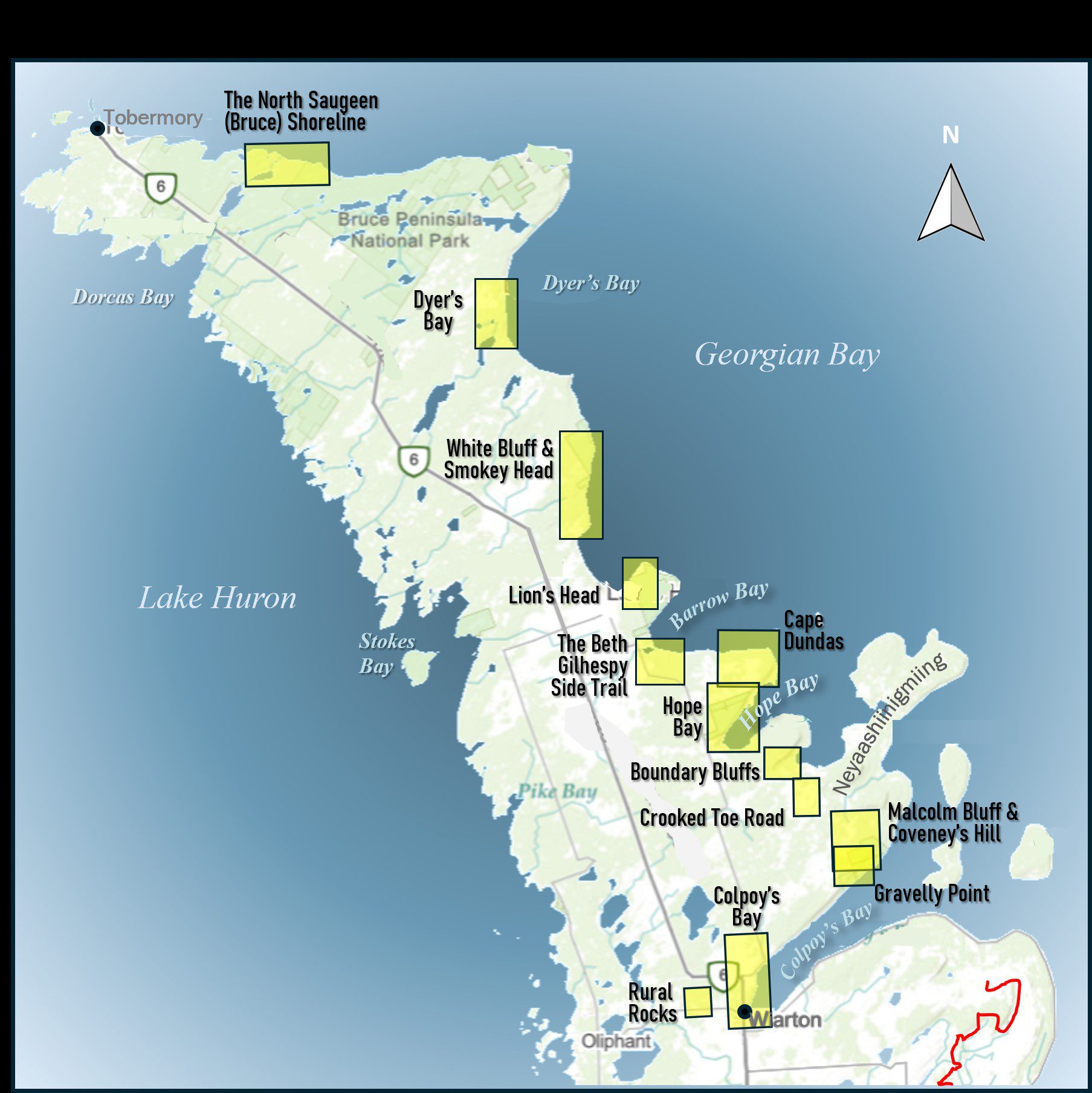
Join the adventure and earn the inaugural Peninsula Geology Badge! Over a stretch of 13 hikes and a couple of extra stops, we will explore the fascinating geology of the Peninsula to learn about the rocks, the shoreline features, glaciation, fossils and all things earthy. The 13 hikes are from the book “Walking Through Time – Exploring the Geology of the Saugeen (Bruce) Peninsula”. Having a copy will give you a lot of great information, but you do not have to purchase the book to attend and enjoy the hikes. Just bring your curiosity! We will make sure to hit all the locations that qualify for the beautiful new Walking Through Time – Saugeen (Bruce) Peninsula geology hike badge. If you would like to purchase a book I will have some available on the hikes, or you can pick one up from the BTC Head Office, at Ginger Press in Owen Sound, Suntrail Source for Adventure in Hepworth, the Shop at 84 Main in Lion’s Head and at Reader’s Haven in Tobermory.You are welcome to come on just a few of the hikes or on all of them, and the dates and hikes are as follows:
Date Geology Hike km
Saturday May 2, 2026 Colpoy’s Bay 9.0
Saturday May 9, 2026 Gravelly Point (am) and Rural Rocks (pm) 8.6
Saturday May 16, 2026 Malcolm Bluff 7.3
Sunday May 17, 2026 White Bluff/Smokey Head 11.8
Sunday May 24, 2026 Crooked Toe Road 5.5
Sunday May 31, 2026 Hope Bay 8.1
Sunday June 14, 2026 Boundary Bluffs 5.2
Saturday July 4, 2026 Cape Dundas 6.2
Saturday July 11, 2026 Beth Gilhespy Side Trail 7.6
Saturday August 8, 2026 Lion’s Head 11.0
Saturday August 15, 2026 Dyer’s Bay Loops 7.5
Saturday August 22, 2026 North Saugeen (Bruce) Shoreline 8.0
Meeting times will vary depending on the hike, but will generally be some time between 9 am and 10 am. Information on exact meeting times and locations will be sent out a few days prior to the hike.

Geology Hike # 4 Woodford Escarpment plus lime kiln
https://hikes.brucetrail.org/event/geology-hike-4-woodford-escarpment-plus-lime-kiln/Sorry, the registration cut-off time for this hike has been reached.Not a member? Click here to join today!Hosting Club: Sydenham
Category: Geology Hike
Location (Google Maps):Woodford Community, 107 Woodford Crescent, Owen Sound ON N4K 5W4. Please park behind the building. Loop hike from here.
Hike Leader(s): Carol Graham-Mullin Click here to contact Hike Leader(s)
Pace: Leisurely: 3 km/h or less
Terrain: Moderate: Some hills and/or poor footing, Strenuous: Hilly with steep climbs and some poor footing., There might be muddy sections., There might be sections with water on the trail.
Distance: 4.5 km.Description
This is Geology Series # 4 following Beth Gilhespy’s book “Walking Through Time” in the Sydenham Bruce Trail Section. We will be exploring an industrial oddity, a disappearing waterfall, fossils, deep crevices and a rich forest of towering trees. We will also add on a 1 km hike at the end to the lime kiln re: stop 6 from former Geo Hike #Copies of Beth’s book will be available for purchase. Special member’s only price of $37.00 . Cash or etransfer. If paying with cash, please bring exact change. A special guest may join us ! Please bring water and a snack if you wish. Proper hiking footwear and hiking poles are recommended.Urban Walk: Leslie Street Spit Bird Watching
https://hikes.brucetrail.org/event/urban-walk-leslie-street-spit-bird-watching-3/Sorry, the registration cut-off time for this hike has been reached.Not a member? Click here to join today!Hosting Club: Toronto
Category: Urban Walk
Location (Google Maps):Entrance to Tommy Thompson Park at Leslie St and Unwin Ave.
Hike Leader(s): Ray Berzins Click here to contact Hike Leader(s)
Pace: Leisurely (2-3 km/hr)
Terrain: Flat
Distance (km): 7 kmDescription
Expect an email by 8AM on Day of Hike to check if hike is Cancelled due to bad weather.For first 3.5 km we will try to observe as much as possible along natural footpaths, so wear long pants, long stockings and whatever else will protect you from ticks. Bring binoculars. After lunch the nature walk will end and hikers can use the Multi-use Trail to continue walking to the end of the spit or return back to the park entrance by 2PM. It will be cooler and more windy than inland so bring warm clothing and a warm beverage with your lunch.
Saturday Shorts
https://hikes.brucetrail.org/event/saturday-shorts-4/Sorry, the registration cut-off time for this hike has been reached.Not a member? Click here to join today!Hosting Club: Caledon Hills
Category: Nature Walks
Location (Google Maps): BTC Reference Guide, Map 12. Meet at parking lot on the south side of 22nd Sideroad, across from the school, and north of km 21.6.Hike Leader(s): Janice McClelland Click here to contact Hike Leader(s)
Pace: Leisurely – 3 km/hour or less
Terrain: Moderate – some hills and/or some poor footing
Distance: 5.8 kmDescription
We will hike north on the main Bruce Trail, quietly follow the Ridge Side Trail, include the Ancient Maple Side Trail, returning via main Trail, pausing south of the village of LImehouse on the bridge to take in the tumbling waters of Black Creek and the stones that speak of Limehouse’s industrial history. Then return to our departure spot. Please bring water, a snack and inquisitiveness re the emerging wildflowers & life-renewing trees!
Kilbride River & Ruins
https://hikes.brucetrail.org/event/kilbride-river-ruins/Sorry, the registration cut-off time for this hike has been reached.Not a member? Click here to join today!Hosting Club: Iroquoia
Category: General Hike
Location (Google Maps):Meeting at Park behind Kilbride Public School
Hike Leader(s): Cathie Green Click here to contact Hike Leader(s)
Pace: Leisurely – 3km/hr or less
Terrain: Moderate – Some hills and/or some poor footing
Distance: Approximately 8 kmsDescription
Suitable hike for beginners and family – Some hills, but leisurely paceWe will meet at park behind Kilbride Public School and hike along Kilbride Street to Twiss Road and onto the main trail at 8th Line – this will meet up with the River and Ruins side trail which we will take along Bronte Creek and then follow the upper side trail to main trail and follow blue trail- side streets back to our vehicles
Must bring Water and wear suitable clothing for weather- Snack/poles/hat/bug spray/sunscreen –
Any concerns or questions, please text or email me through this form.
RAINBOW HIKE: Trillium Quest - Dundas Valley Conservation Area
https://hikes.brucetrail.org/event/rainbow-hike-trillium-quest-dundas-valley-conservation-area/Sorry, the registration cut-off time for this hike has been reached.Not a member? Click here to join today!Hosting Club: Iroquoia
Category: Rainbow Hike
Location (Google Maps): Dundas Valley Conservation Area, main parking lot.Hike Leader(s): Doug O’Neill Click here to contact Hike Leader(s)
Pace: Leisurely – 3km/hr or less, Medium – 3 to 4 km/hr
Terrain: Easy – Mostly flat and usually good footing, Moderate – Some hills and/or some poor footing
Distance: 12 km (with dropout opportunities)Description
Come by car or HSR transit to this all-inclusive, 2SLGBTQIA+ friendly quest to spot trilliums and other spring flowers.This queer-led, all-inclusive hike is designed to provide a safe, welcoming space for 2SLGBTQIA+ hikers—including Two-Spirit, trans, gay, lesbian, bisexual, queer, intersex, and asexual folks, as well as allies and friends. Show up, be your authentic self, and have fun.
We’ll meet in the main parking lot of the Dundas Valley Conservation Area (the one closest to the Trail Centre) at 650 Governors Rd., at 10 a.m. for a 10:15 start.
If arriving by car: Conservation parking at 650 Governor’s Road is $11.50 per vehicle. Anyone with a HCA pass gets free parking.
Coming by public transit: Take the “5B PIRIE AT GOVERNORS” bus and get off at the very last stop (at Pirie). It’s a 6-minute walk west along Governors Road to the entrance of the Conservation Centre, and then another 5 minutes up the laneway to the last parking lot. (There’s no admission fee if you arrive on foot.) Continue past the Stacey Meadows lot (the first parking lot you’ll come to) until you reach the main parking lot. We’ll rendezvous at the big sign at the far end of the lot. Look for the guy with Bruce Trail cap 🙂
Our route: After a washroom stop at the Trail Centre, we’ll follow the Bruce Trail main trail (a.k.a. McCormick Trail) all the way to Dundas (Woolley Lane) where trilliums have been known to flourish. We’ll loop back and then follow a mix of main and side trails, stopping for lunch. We’ll aim for 12 kilometres but there will be opportunities to drop out earlier.
Washrooms: there are indoor washrooms and a water fountain at the Trail Centre.
Complimentary Bruce Trail Rainbow badges ]to all participants.
Bring 1 or 2 litres of water, energizing snacks and lunch. Don’t forget sunscreen and insect repellent. Hiking boots or sturdy footwear are recommended—as well a cap. Because we’ll be in long grassy areas, long pants are recommended as it’s tick season. (Always avoid wearing shorts in long grass.)
Email any questions to the Hike Leader – “Click here to contact Hike Leader” on this form.