
The BTC office will be closed on Mon. Oct. 12 for the holiday. Thank you for your understanding.
Hike Schedule
Join us for a hike! Registration required.
All hikes available to BTC members. Some hikes are open to non-members.
See Refund Policy for Paid Hikes >
TIP: The calendar view displays up to 7 hikes on a day, but often there are more. Click “View more events” to see them all.
Niagara
Iroquoia
Toronto
Caledon Hills
Dufferin Hi-Land
Blue Mountains
Beaver Valley
Sydenham
Peninsula
All Clubs
Show Filters
Categories
Reset Filters
- 12April 12, 2026
Peninsula BT Makeup Hike (km 81.5 – km 99.3)
https://hikes.brucetrail.org/event/peninsula-bt-makeup-hike-km-81-5-km-99-3/Sorry, the registration cut-off time for this hike has been reached.Not a member? Click here to join today!Hosting Club: Peninsula
Category: Peninsula BT Makeup Hike
Location (Google Maps):Hike Leader(s): Shawn Radcliffe & Saabir Sohrab Click here to contact Hike Leader(s)
Pace: Medium (3.0 – 4.5 km/h): A comfortable pace for most hikers with steady progress.
Terrain: Moderate: Rolling hills, mild slopes and rocky paths., Difficult: Steep ascents/descents, rocky scrambling, and some rugged escarpment paths.
Distance: ~17.8Description
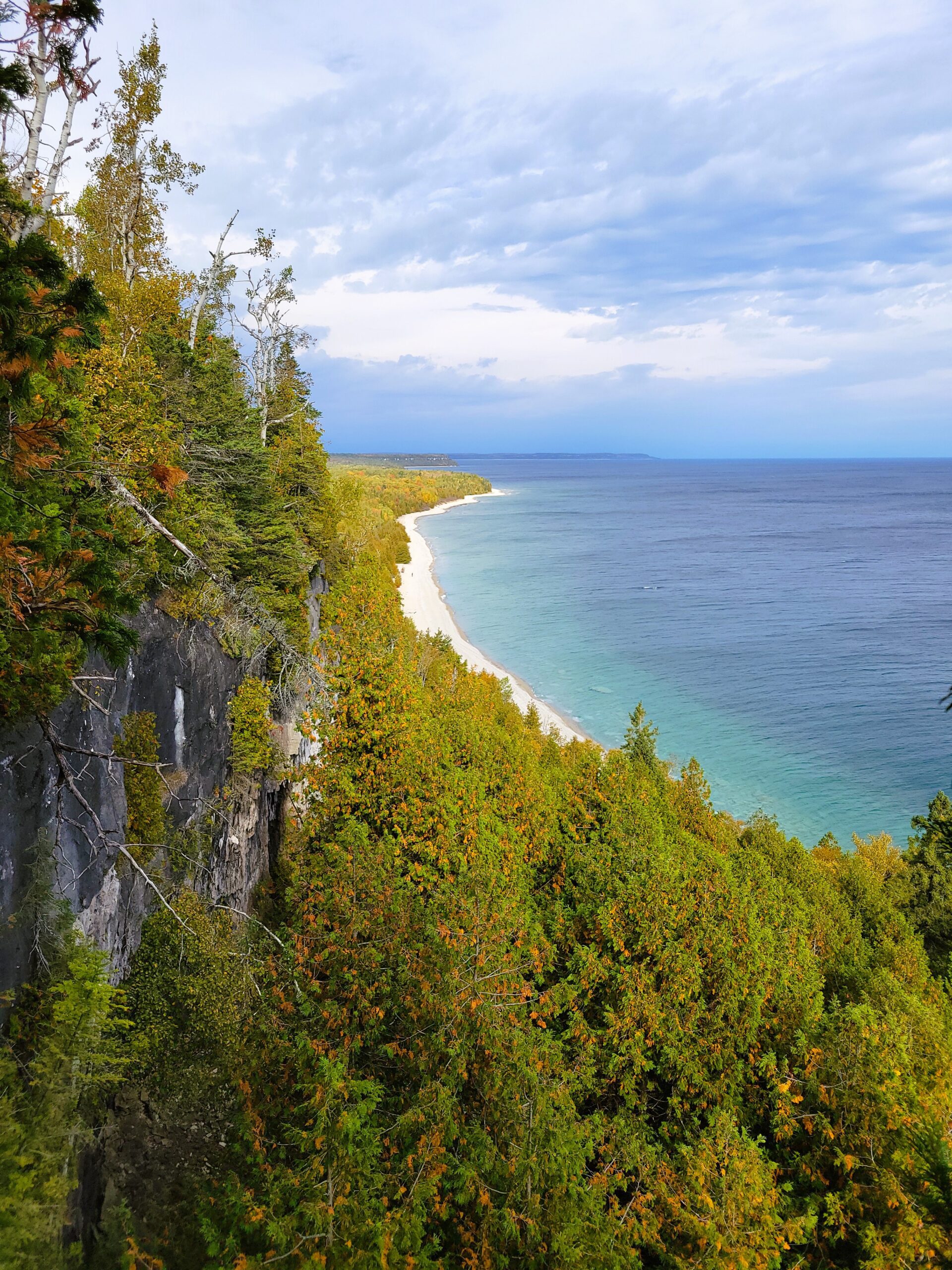
McCurdy Drive parking lot to Cape Chin South RdThis hike is part of the Peninsula BT Makeup Hikes, intended for hikers completing missed sections of the Peninsula Bruce Trail. Each hike requires individual registration.
To hike the entire Peninsula Section, please register for the Full Peninsula End-to-End Series (single registration for all 10 hikes): https://hikes.brucetrail.org/event/peninsula-end2end-in-10-series/2026-05-01/
Hikers may register for all 10 Makeup Hikes if they wish.
Expectations: Expect ~7 hours on the trail, depending on the terrain, weather, and group pace. The hike leader sets the pace, aiming for 3–4 km/h, and may adjust as needed for group ability and trail conditions. Breaks will be taken throughout the day.
For safety, participants must remain between the hike leader and the hike sweep at all times.
Fees:
- Fundraising: This hike is a fundraiser to support the Peninsula Bruce Trail Club’s volunteer-run hike program.
Participant Requirements
- Intermediate/experienced hikers with good fitness
- Proper hiking boots, layered clothing, wet weather gear
- Hiking poles recommended
- Bring: Lunch, snacks, water, bug spray
Transportation & Accommodations
- Car shuttle: Participants rotate as drivers; vehicles must be passenger-ready
- Accommodations: Book early; options include motels, campgrounds, hostels, and B&Bs
Note: Dogs are not permitted.
Toronto Side Trails Badge
https://hikes.brucetrail.org/event/toronto-side-trails-badge/Sorry, the registration cut-off time for this hike has been reached.Not a member? Click here to join today!Hosting Club: Iroquoia, Toronto
Category: General Hike
Location (Google Maps): 15 side road, coordinate: 43.577963, -79.977024Hike Leader(s): IgorT Click here to contact Hike Leader(s)
Pace: Medium – 3 to 4 km/hr
Terrain: Easy – Mostly flat and usually good footing, Moderate – Some hills and/or some poor footing
Distance: 15kmDescription
Join me to explore Bruce Trail Toronto section side trails.This is 1 of … hikes, future hikes will be posted later, towards the side trail badge, that awarded to hikers who completed 45km of side trails.
Will meet at 15 side road (43.577963, -79.977024)
And shuttle from there to start point at Hilton falls parking lot.
Please be prepared to volunteer in car shuttle from parking lot to start of the hike.
Please do not reserve parking yet. Contact myself for clarification.
Park entrance fee 10.50 plus tax per car, reservation required.(https://www.conservationhalton.ca/parks/hilton-falls/)
We will organize the shuttle at parking lot, and pay the sum to the driver who is shuttling.
Please bring some change.
We are going to hike through 3 side trails, total of 15km
Please read all details for this hike to ensure it is suitable for you. The pace and terrain are particularly important details.
You must be registered to participate in this group hike. You cannot just show up as there are often people on the waitlist.
Please pack whatever food you will require for a day hike including lunch and snacks; 2l of water minimum; first aid kit; poles if you use them; and icers. You may also wish to pack extra socks and rain gear. Remember to dress in layers. Gloves/mitts, scarf / neck gator, a toque and a puffy jacket.
We will help each other and wait for one another but please consider your physical ability before signing up for this hike.
There are no drop outs – if you are not able to finish the hike you will need to arrange for transportation back to your car via taxi or Uber at your cost.
Car Hike: Jefferson Forest and Bond Lake (Richmond Hill)
https://hikes.brucetrail.org/event/car-hike-jefferson-forest-and-bond-lake-richmond-hill-9/Sorry, the registration cut-off time for this hike has been reached.Not a member? Click here to join today!Hosting Club: Toronto
Category: Car Hike
Location (Google Maps):1245 Bethesda Side Rd, Richmond Hill, ON L4E 1A2 ( Bethesda Trail Head Parking lot)
Hike Leader(s): Amir Alemohammad Click here to contact Hike Leader(s)
Pace: Moderate (3-4 km/hr)
Terrain: Flat, Hilly, Level 2 (Intermediate – some hills and uneven surfaces, rocks and roots underfoot)
Distance (km): 12-14 kmDescription
Let’s roll the hills of the Jefferson Forest and around the Bond Lake for s winter like hike in spring. Every weekend, we’ll explore the winter wonderland at this beautiful park. Located in the heart of Richmond Hill, it boasts numerous hiking trails. This 3.5 hour hike can range from 12 to 14 kilometres, depending on the weather conditions. Remember to bring water, snacks, hiking boots, icers, poles, and your camera. Not recommended for beginners. Park in the free Bethesda parking lot and avoid parking along the road. Dress appropriately for the weather. Difficulty Level: 2 (Moderate).Please arrive @8:45AM for start of 9:00AM.
This is a joint hike with the Oak Ridges Trail Association (ORTA).
what3words:
https://w3w.co/twisting.mailer.awakes

Iroquoia Naturalist Hike Series- Discovering Nature One Hike at a Time – Niagara Hawkwatch – Meet in the 1 Elm St parking lot in Grimsby at 9:15
https://hikes.brucetrail.org/event/iroquoia-naturalist-hike-series-discovering-nature-one-hike-at-a-time-niagara-hawkwatch-meet-in-the-1-elm-st-parking-lot-in-grimsby-at-915-2/Sorry, the registration cut-off time for this hike has been reached.Not a member? Click here to join today!Hosting Club: Iroquoia
Category: Iroquoia BTC Naturalist Hike Series : Discovering Nature, One Hike at a Time.
Location (Google Maps): Meet in the Quarry Rd parking lot at 9:15. Hike will commence at 9:30.
https://maps.app.goo.gl/rjkk83wYYmCfkNxQ9 Quarry Rd intersects with Ridge Rd West just west of Beamer’s Falls.Hike Leader(s): Ruth Moffatt Click here to contact Hike Leader(s)
Pace: Leisurely – 3km/hr or less, Medium – 3 to 4 km/hr
Terrain: Dependent on Conditions, Easy – Mostly flat and usually good footing, Moderate – Some hills and/or some poor footing, Strenuous – Hilly with steep climbs and some poor footing
Distance: 3.5kmDescription
Please join us for another Iroquoia Naturalist Hike Series- Discovering Nature One Hike at a Time.Spring is the time for migrating raptors and every year, for over 50 years, volunteers have been monitoring the annual migration of hawks, eagles, falcons and vultures over the Niagara Peninsula.
Did you see the last BTC webinar Spring Raptor Migration at Beamer Memorial Niagara Peninsula Hawkwatch https://www.youtube.com/watch?v=nrcjba1Zwrc If you haven’t watched it, I highly recommend it.
Keith Dieroff: President, Niagara Peninsula Hawkwatch, will meet us on this hike and be available to answer any questions we might have. I will also have a raptor handout so we can try to identify any raptors we see.
Parents: If you would like to bring children, Spring Youth badges will be available for $7.
Please dress for the weather, bring enough water and snacks for your hike. Bring hiking poles if you use them and wear gaiters in case of muddy conditions. Binoculars might be useful.
Spring should be upon us by April 12 so we’ll look for the early spring ephemerals, as well.If you need to cancel your registration, please follow these instructions:
– Sign into your account on the Bruce Trail website.
– Go to the Hike Schedule
– Click on My Hikes tab which you should find at the tip of the schedule
– Scroll to the appropriate hike you wish to cancel
– Cursor to the far right of the hike to the Action column
– Click cancel under the hike you wish to cancel.
10:00 am Side Trail Challenge #1 - General Brock
https://hikes.brucetrail.org/event/1000-am-side-trail-challenge-1-general-brock/Sorry, the registration cut-off time for this hike has been reached.Not a member? Click here to join today!Hike open to BTC Members only.
Hosting Club: Niagara
Category: Car Pool
Location (Google Maps): Park at Queenston Heights lot near the cairnHike Leader(s): Robin Garrett Click here to contact Hike Leader(s)
Pace: Brisk
Terrain: Easy
Distance: 12.5 kmDescription
Take the Side Trail Challenge and hike all 24 of Niagara’s side trails in 9 hikes and earn the Side Trail badge.Carpool to the General Brock trailhead on John Street. This hike follows the Niagara River from Butler’s Barracks in old town Niagara-on-the-Lake, up the escarpment to Queenston Heights. Mainly paved trail with a small portion through a wooded area. Required photos include: Brock’s War Monument, view of Lewiston Bridge, Niagara River, War Memorial, McFarland House. Participate in all 9 scheduled hikes in the NBTC Side Trail Challenge or hike the side trails on your own. Submit your photos to collect the NBTC Side Trail badge.
Dress according to the weather and bring water and a snack.
Migration and Spring Monitor
https://hikes.brucetrail.org/event/migration-and-spring-monitor/Sorry, the registration cut-off time for this hike has been reached.Not a member? Click here to join today!Hosting Club: Peninsula
Category: Spring Birds and Blooms
Location (Google Maps): Otter Lk Loop hike: km 106.0 in the 31st Ed Ref manual – by the Cape Chin Mail Boxes, don’t go down the hill. Special Guests: Natasha and Chris Akiwenzie of Bagida Waad Alliance will discuss early insects as we travel through different habitats, how these insects provide food for warblers and what we can do to promote insect habitats. Early warbler arrivals include pine warblers and yellow-rumped warblers. Will we see them?Hike Leader(s): Tamara Wilson Click here to contact Hike Leader(s)
Pace: Leisurely (2.0 – 3.0 km/h): A relaxed pace with frequent breaks and a focus on enjoyment.
Terrain: Moderate: Rolling hills, mild slopes and rocky paths.
Distance: 6Description
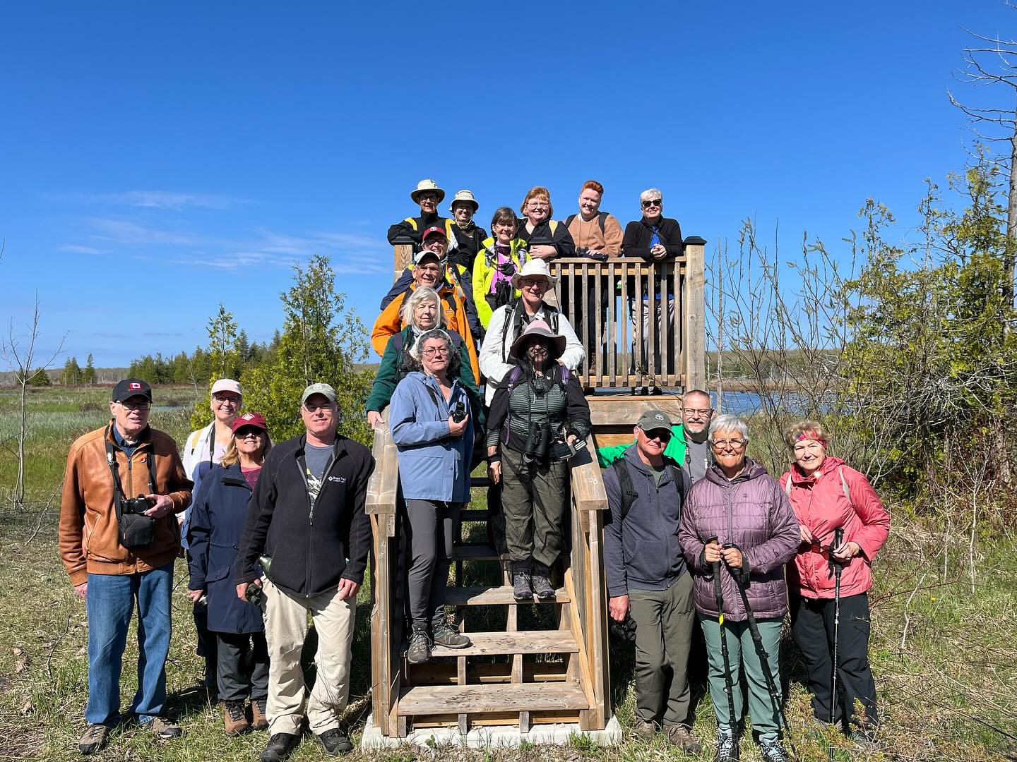
Leaving the Cape Chin N mailbox parking area, we will progress south on the Main Trail to km 104.3 and head right on Cape Chin Meadows ST, crossing Cape Chin Rd N to the Otter Lake ST. We will hike to the birding platform, spending a few minutes to take in any new migration arrivals and harbingers of spring. After a break at the birding platform we will continue along Otter Lake ST to MT and back to the parked cars. Depending on what we see and early spring Trail conditions, this hike could take up to 2 hours. Note: though a short distance, the ground will be rocky and uneven in places. Along the shores of Otter Lake, there could be some mud. Special Guests: Natasha and Chris Akiwenzie of Bagida Waad Alliance will discuss early insects as we travel through different habitats, how these insects provide food for warblers and what we can do to promote insect habitats. Early warbler arrivals include pine warblers and yellow-rumped warblers. Will we see them?
10:00 a.m. Tawse Winery Hike and Private Tasting Experience
https://hikes.brucetrail.org/event/1000-a-m-tawse-winery-hike-and-private-tasting-experience-2/Sorry, the registration cut-off time for this hike has been reached.Not a member? Click here to join today!Hike open to BTC Members only.
Hosting Club: Niagara
Category: In and Out
Location (Google Maps): Park at Tawse Winery 3955 Cherry Avenue VinelandHike Leader(s): Sam Rutherford Click here to contact Hike Leader(s)
Pace: Medium
Terrain: Moderate
Distance: 6kDescription
We will hike on the main trail from Tawse Winery to the Margaret Reed Side Trail located in Cave Springs Conservation Area and return back to Tawse Winery by 11:30. Upon return we will enjoy a private structured tasting led by one of the knowledgeable and friendly winery staff from 11:30 to 12:00 noon. The cost for the tasting experience is $15.00 per person. You will also enjoy a 20% discount on bottle purchases that day. Please bring your $15.00 with you as I will collect it prior to the tasting to simplify the payment to Tawse Winery. Thank you. - 13April 13, 2026
CANCELLED - Scotsdale Farm Big Loop
https://hikes.brucetrail.org/event/scotsdale-farm-big-loop/Sorry, the registration cut-off time for this hike has been reached.Not a member? Click here to join today!Hosting Club: Iroquoia
Category: General Hike
Location (Google Maps): Scotsdale Farm main parking areaHike Leader(s): Pati Greenwood, Jeff Dowsett Click here to contact Hike Leader(s)
Pace: Medium – 3 to 4 km/hr
Terrain: Moderate – Some hills and/or some poor footing, Strenuous – Hilly with steep climbs and some poor footing
Distance: 17.5 kmDescription
Starting at the main parking area, we will take the main trail and side trails to form a large, 17.5 km loop. There will be some rocky sections and steep climbs along the way which may be slippery. Wear hiking boots and bring poles.Dress in layers for the weather conditions, Bring plenty to drink and a snack.
Please arrive at the meeting place by 8:15 am for an 8:30 am departure.
EASY DOES IT HIKE, Merrit Trail
https://hikes.brucetrail.org/event/merrit-trail/Sorry, the registration cut-off time for this hike has been reached.Not a member? Click here to join today!Hosting Club: Niagara
Category: Leisurely
Location (Google Maps): 343 Glendale Ave, St.Catharines (near Scotiabank)Hike Leader(s): Diane Marlatt Click here to contact Hike Leader(s)
Pace: Leisurely
Terrain: Easy
Distance: 6KDescription
*Caledon Hills Sideways Badge - Hike #1
https://hikes.brucetrail.org/event/caledon-hills-sideways-badge-hike-1/Sorry, the registration cut-off time for this hike has been reached.Not a member? Click here to join today!Hosting Club: Iroquoia, Caledon Hills
Category: Special Event
Location (Google Maps):Caledon Hills – Location will be advised
Hike Leader(s): Heather Zrini Click here to contact Hike Leader(s)
Pace: Medium – 3 to 4 km/hr
Terrain: Strenuous – Hilly with steep climbs and some poor footing
Distance: 20 kmDescription
On this series of three hiking days, we will complete the five loop hikes that are required to earn the Caledon Hills Sideways Badge. If you are not interested in earning the badge, please join us for some great hiking. Hikers can sign up for individual hikes as you do not need to complete all three to participate. The dates of the three hiking days will be April 13, April 27 and May 11. We will meet at the starting point at 9am each week. Our finishing time is an approximation. On each of the first two hiking days, we will be completing two of the loops. On May 11, there will be one loop hike and if there is interest, we will hike another loop in Mono Cliffs Provincial Park. Each loop is approximately 10 km in length. For more information about the hikes, please see the link below:Sideways Badge Loop .PDF Download
Our schedule will be as follows:
April 13 – Hike One and Hike Five
April 27 – Hike Two and Hike Three
May 11 – Hike Four and a hike in Mono Cliffs Provincial Park
Carpooling is encouraged. Since these are loop hikes, we will not need to shuttle. On the first day, a Provincial Park Daily Vehicle Permit Reservation will be required. We will be parking and hiking in the Forks of the Credit Provincial Park on Day 1. Passes that can be used when making the reservation can be purchased through the Ontario Provincial Park website or borrowed from your local library. If a car does not have a pass, the cost of the Daily Vehicle Permit reservation will be split between those people in that car.
More information, including specific details about the meeting points, will be provided to those who sign up for the hikes.
If there are any questions, please don’t hesitate to ask.
Skinner's Woods With Views Over Colpoy's Bay
https://hikes.brucetrail.org/event/skinners-woods-with-views-over-colpoys-bay/Sorry, the registration cut-off time for this hike has been reached.Not a member? Click here to join today!Hosting Club: Sydenham
Category: General Hike
Location (Google Maps): Meet at roadside parking, at the curve on Gleason Lake Road, 2.0 km north of Concession Rd 24. Map 35 Edition 31. Please arrive 15 minutes early.Hike Leader(s): Karen Sooley Click here to contact Hike Leader(s)
Pace: Medium: 3 to 4 km/h
Terrain: Moderate: Some hills and/or poor footing, There might be muddy sections., There might be sections with water on the trail.
Distance: 9 kmDescription
Get ready for some beautiful views of Colpoy’s Bay and the islands. We will begin our hike on the Len Holley Side Trail, then follow Skinner’s Woods Side Trail to the main trail. When we reach the escarpment we will walk along the cedar-lined cliff top and stop to enjoy the views at the lookouts. We will return to our cars via the Curly Harnden Side Trail. Bring your choice of hydration and snacks.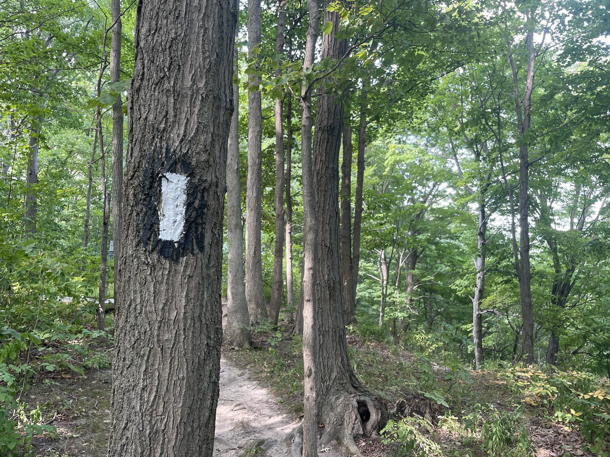
Hike with Tai Chi
https://hikes.brucetrail.org/event/hike-with-tai-chi/Sorry, the registration cut-off time for this hike has been reached.Not a member? Click here to join today!Hosting Club: Niagara
Category: Loop
Location (Google Maps): Park at the entrance to Woodend Conservation Area, Taylor Rd, Niagara-on-the-Lake.Hike Leader(s): Margaret Northfield Click here to contact Hike Leader(s)
Pace: Medium
Terrain: Moderate
Distance: 5-6kmDescription
Seeking balance, calm and strength without high impact exercise? Join us for a short hike around beautiful Woodend Conservation. Tai Chi Master, Mike Van Natter will instruct us on the benefits of Tai Chi as well as lead us through several Tai Chi movements along our way. - 14April 14, 2026
Long Haulers Hike New Location
https://hikes.brucetrail.org/event/long-haulers-hike-new-location-6/Sorry, the registration cut-off time for this hike has been reached.Not a member? Click here to join today!Hosting Club: Niagara
Location (Google Maps): Decew House Thororold
Pace: Brisk
Terrain: Moderate
: 10k+Description
This is our regular Tuesday Long Hike. Note the new location which will continue until May due to the muddy conditions in Shorthills. We will hike along the trails which may include Brock, 12 mile creek. Morningstar mill and/or Bert Lowe side trail. Dress for the weather and bring poles snack and drink9:15 Short hike, Rotary Park, St. Catharines
https://hikes.brucetrail.org/event/915-short-hike-rotary-park-st-catharines-14/Sorry, the registration cut-off time for this hike has been reached.Not a member? Click here to join today!Hike open to BTC Members only.
Hosting Club: Niagara
Category: In and Out
Location (Google Maps): Rotary Park, St. CatharinesHike Leader(s): janet davey Click here to contact Hike Leader(s)
Pace: Medium
Terrain: Moderate
Distance: 6 kmsDescription
Hike the trails in and around Rotary Park. Please bring hiking poles, water and appropriate footwear.Kilgorie- Pine River Nature Reserve
https://hikes.brucetrail.org/event/kilgorie-pine-river-nature-reserve-2/Sorry, the registration cut-off time for this hike has been reached.Not a member? Click here to join today!Hosting Club: Dufferin Hi-Land
Category: Tuesday Hike
Location (Google Maps):(Google Maps) Dufferin Highland Section, Map 20. Meet at the new BTC parking lot on Centre Rd (Kilgorie) just south of River Rd (Km 33.8)
Hike Leader(s): Les Babbage, Inge Eckerich, Julie Daley, Tony Evangelista Click here to contact Hike Leader(s)
Pace: Leisurely
Terrain: Dependent on Conditions, Slippery and Steep Sections
Distance: Long hike: 6 Km Short hike 3.6 KmDescription
From Kilgorie we will hike on the Main Trail along the riverbank past the ruins of a hydro generating station. Next, the Bell Lookout Side Trail will provide a scenic view of the Pine River Valley. We will then travel through the Pine River Valley Side Trail. Returning to the Main Trail, we will take the Kilgorie Side Trail back to the parking area. The short hike will exclude the Pine River Valley Side Trail and return to the parking via Main Trail and Kilgorie Side Trail.Tuesday Trekkers- Pacific Slope Friendship Trail
https://hikes.brucetrail.org/event/pacific-slope-friendship-trail/Sorry, the registration cut-off time for this hike has been reached.Not a member? Click here to join today!Hosting Club: Beaver Valley
Location (Google Maps): Park @ km 74.2 in the Beaver Valley section (Johnston’s Sideroad) Map 26 Edition 31
Hike Leader(s): Kristina Rettie Click here to contact the hike leader.
Pace: Brisk, Medium
Terrain: Some rocky footing, Some steep sections, Strenuous
Length of Hike: 13.5kmDescription
The Pacific Slope Friendship Trail follows the main Bruce Trail southbound to Hoggs Falls. This will be an out and back hike with a side step onto the Stew Hilts Side Trail.This time of year we can expect all types of trail conditions. Please be prepared with rain gear, icers and poles for those steep ascents and descents.
Bring water and a snack
Please no dogs
Limehouse Loop - Canada Goose Side Trail - CANCELLED
https://hikes.brucetrail.org/event/limehouse-loop-canada-goose-side-trail/Sorry, the registration cut-off time for this hike has been reached.Not a member? Click here to join today!Hosting Club: Caledon Hills
Category: Tuesday Hikers
Location (Google Maps): Meet at parking lot across from Limehouse Public School, near km 21.6 Map 12 Edition 31. From Hwy 401 take Trafalgar Rd. North. At Sideroad 22 turn left and follow 3 km to the village of Limehouse. The parking lot is on the left across from the Public School parking.Hike Leader(s): Jennie Greenfield Click here to contact Hike Leader(s)
Pace: Medium – 3 to 4 km/hour
Terrain: Moderate – some hills and/or some poor footing
Distance: 10 kmDescription
We will hike a loop using the Main Trail and the Canada Goose Side Trail. We will hike through the Limehouse Conservation Area passing the remains of the restored powder magazine, a lime kiln, and an old mill. We will skirt the edge of farmland and a quarry as well as hike through hardwood forest.Expect the trail to be wet with the melt; 1.5 km of road will give us break from the spring conditions.
Plan is for a couple of stops for hydration and clothing adjustments and a snack break.
Dress in layers, hiking boots required, poles and gaiters recommended.
Urban Walk: Valley View Park Thornhill
https://hikes.brucetrail.org/event/urban-walk-valley-view-park-thornhill-159/Sorry, the registration cut-off time for this hike has been reached.Not a member? Click here to join today!Hosting Club: Toronto
Location (Google Maps): Parking lot is off Sycamore Drive, East of Bayview , across Starbucks plaza
Bus 91 from Finch East station stops at Sycamore station.Hike Leader(s): MOHAMMAD AGHAMIRI Click here to contact Hike Leader(s)
Pace: Moderate (3-4 km/hr)
Terrain: Hilly, Level 2 (Intermediate – some hills and uneven surfaces, rocks and roots underfoot)
Distance (km): 6-7 kmDescription
We will explore Valleyview and Maple View parks, and walk along German Mill Creak, in return we stop in Huntington park and have snack under beautiful shed.Although this is considered an “Urban Walk”, you can expect some hills up and down and uneven surfaces with tree roots. Please bring hiking poles, Ice cleats water and snacks.
phone number for the day of hike 289 58
- 15April 15, 2026
9:30 am Hike & Picnic
https://hikes.brucetrail.org/event/930-am-hike-picnic/Sorry, the registration cut-off time for this hike has been reached.Not a member? Click here to join today!Hike open to BTC Members only.
Hosting Club: Niagara
Category: Loop
Location (Google Maps):Locust Grove Picnic Area
Hike Leader(s): Marion Hanover Click here to contact Hike Leader(s)
Pace: Leisurely <3 km/hr
Terrain: Moderate: some hills and some poor footing
Distance: 7 kmDescription
Hike around Queenston area. Optional outdoor gathering in Locust Grove including pot luck picnic after the hike.Wednesday Walkers - McCluskey's Rock
https://hikes.brucetrail.org/event/wednesday-walkers-mccluskeys-rock-4/Sorry, the registration cut-off time for this hike has been reached.Not a member? Click here to join today!Hosting Club: Beaver Valley
Location (Google Maps): Meet on the shoulder of Sideroad 7B on the curve where the trail enters the forest, km 43.5, Map 25, Edition 31.
Hike Leader(s): Glenda Collings Click here to contact the hike leader.
Pace: Medium
Terrain: Moderate, Some steep sections
Length of Hike: approx. 4 kmDescription
We will hike north along the top of the escarpment on the main trail to McCluskey’s Rock and then back, taking in the Ken Young Side Trail. Views to be had. Wear appropriate clothing for the weather plus water and a snack.Please arrive by 9:45 a.m for a 10:00 a.m. start. If you need to cancel please do so online or contact me so we know whether or not to expect you. My cell 519 694 7691.
- 16April 16, 2026
9:00 Long Hike, Glen Road Jordan
https://hikes.brucetrail.org/event/900-long-hike-glen-road-jordan-3/Sorry, the registration cut-off time for this hike has been reached.Not a member? Click here to join today!Hosting Club: Niagara
Location (Google Maps):
3640 Glen Road Jordan
Pace: Brisk
Terrain: Strenuous
: 10 kmDescription
Hike in and around Ball’s Falls and Jordan. Dress for the weather: bring icers, poles, dress in layersBadlands Trail Maintenance - Spreading Gravel
https://hikes.brucetrail.org/event/badlands-trail-maintenance-spreading-gravel/Sorry, the registration cut-off time for this hike has been reached.Not a member? Click here to join today!Hosting Club: Caledon Hills
Category: General
Location (Google Maps): Meet in the Cheltenham Badlands parking lot on Olde Base Line Road, CaledonHike Leader(s): Lynn Dobson Click here to contact Hike Leader(s)
Terrain: Moderate – some hills and/or some poor footing
Distance: Moving gravel in wheelbarrows 900 metresDescription
The Club will continue to improve the trail in the Badlands on Thursday, April 16th (weather permitting) with laying down landscape cloth and covering it with gravel on the trail. Lightly loaded wheelbarrows of gravel will be wheeled 900 metres from the parking lot to the trail to spread. This project requires enthusiasm and 10 – 12 volunteers for a few hours. Wheelbarrows and rakes will be provided. Work gloves are appropriate. Bring your own refillable water bottle.Hiking in and around Jordan
https://hikes.brucetrail.org/event/hiking-in-and-around-jordan-16/Sorry, the registration cut-off time for this hike has been reached.Not a member? Click here to join today!Hosting Club: Niagara
Location (Google Maps): Sho’arishon Park (Jordan Hollow)
Hike Leader(s): Bill Russell Click here to contact Hike Leader(s)
Pace: Medium
Terrain: Moderate
Distance: 7 kmDescription
Hiking in and around Jordan, Jim Rainforth Trail and Balls Falls rotating every 3 weeks.Urban Walk: Valley View Park Thornhill
https://hikes.brucetrail.org/event/urban-walk-valley-view-park-thornhill-160/Sorry, the registration cut-off time for this hike has been reached.Not a member? Click here to join today!Hosting Club: Toronto
Location (Google Maps): Parking lot is off Sycamore Drive, East of Bayview , across Starbucks plaza
Bus 91 from Finch East station stops at Sycamore station.Hike Leader(s): MOHAMMAD AGHAMIRI Click here to contact Hike Leader(s)
Pace: Moderate (3-4 km/hr)
Terrain: Hilly, Level 2 (Intermediate – some hills and uneven surfaces, rocks and roots underfoot)
Distance (km): 6-7 kmDescription
We will explore Valleyview and Maple View parks, and walk along German Mill Creak, in return we stop in Huntington park and have snack under beautiful shed.Although this is considered an “Urban Walk”, you can expect some hills up and down and uneven surfaces with tree roots. Please bring hiking poles, Ice cleats water and snacks.
1:30 p.m. Pack Walk
https://hikes.brucetrail.org/event/130-p-m-pack-walk/Sorry, the registration cut-off time for this hike has been reached.Not a member? Click here to join today!Hosting Club: Niagara
Category: In and Out
Location (Google Maps): George Nicholson Memorial Trail ; park at Jones Beach 142 Broadway Ave. St. CatharinesHike Leader(s): Sam Rutherford Click here to contact Hike Leader(s)
Pace: Leisurely
Terrain: Easy
Distance: 6kDescription
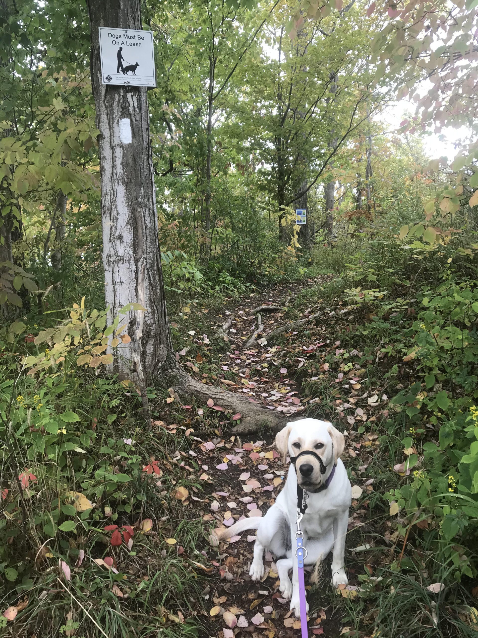
This pack walk is a structured group walk where dogs and their handlers walk together on-lead in a natural environment. It promotes exercise, calm socialization and exposure to other dogs and people in a safe, controlled setting. We will meet at Jones Beach and follow the George Nicholson Memorial Trail out to the Port Weller lighthouse and back. Dogs must be kept on-lead and under control at all times. Please bring water and treats for you and your dog.
8:00 pm New Moon - Night Hike in Niagara on the Lake
https://hikes.brucetrail.org/event/800-pm-new-moon-night-hike-in-niagara-on-the-lake/Sorry, the registration cut-off time for this hike has been reached.Not a member? Click here to join today!Hosting Club: Niagara
Category: Night
Location (Google Maps):Veteran’s Memorial Park, park just outside the park on King Street
Hike Leader(s): Robin Garrett Click here to contact Hike Leader(s)
Pace: Leisurely <3 km/hr
Terrain: Easy: mostly flat, good footing
Distance: 6-7 kmDescription
New Moon Night Hike – The dark sky of the new moon is the best for stargazing! This hike includes a walk along Lake Ontario, the Niagara River and through the streets of Historic Old Town. Bring a night light and dress for weather. Counts towards your night hike badge (5 night hikes). - 17April 17, 2026
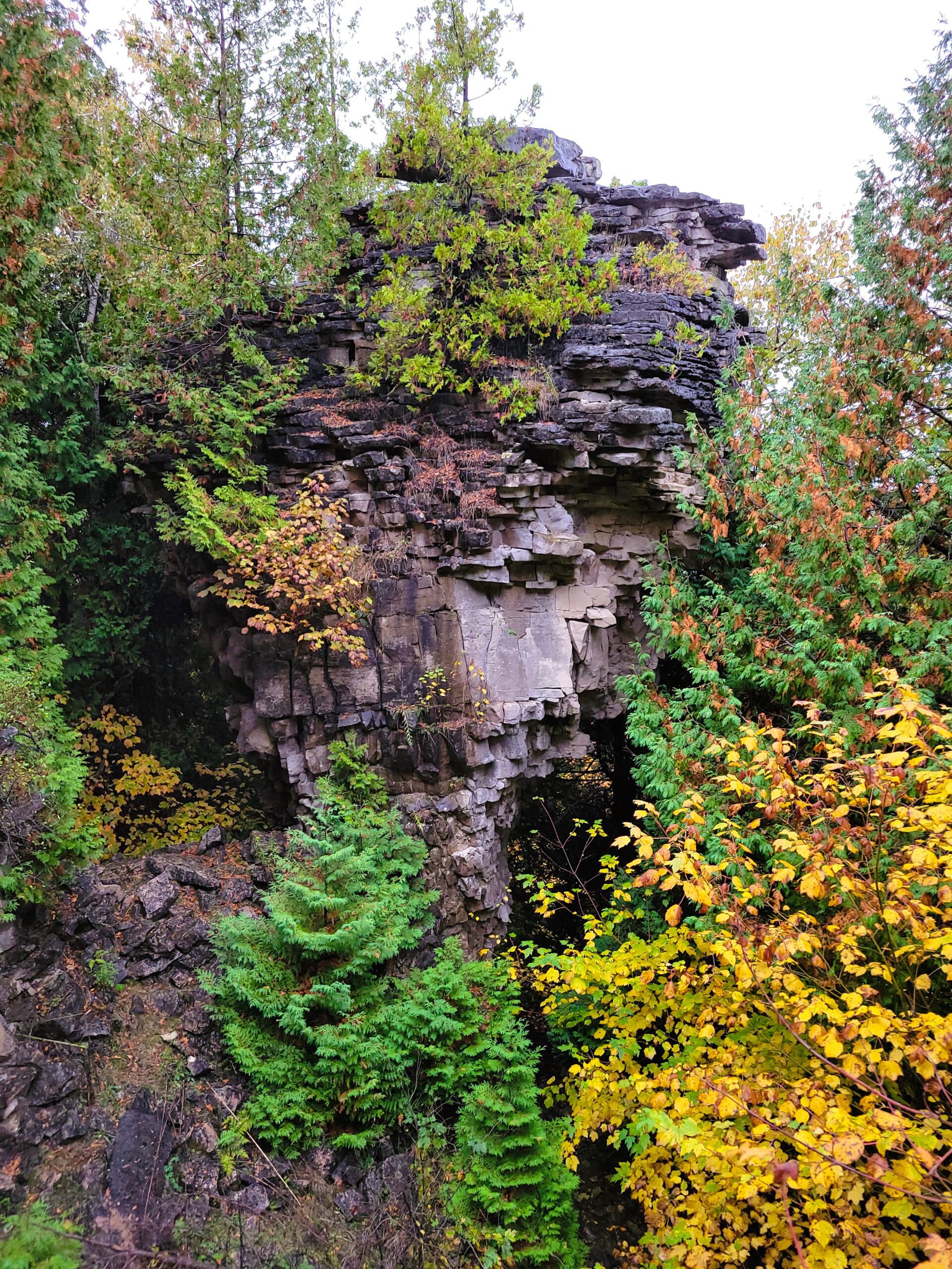
Peninsula BT Makeup Hike (km 99.3 – km 117.8)
https://hikes.brucetrail.org/event/peninsula-bt-makeup-hike-km-99-3-km-117-8/Sorry, the registration cut-off time for this hike has been reached.Not a member? Click here to join today!Hosting Club: Peninsula
Category: Peninsula BT Makeup Hike
Location (Google Maps):Hike Leader(s): Margie Gloade & Saabir Sohrab Click here to contact Hike Leader(s)
Pace: Medium (3.0 – 4.5 km/h): A comfortable pace for most hikers with steady progress.
Terrain: Moderate: Rolling hills, mild slopes and rocky paths., Difficult: Steep ascents/descents, rocky scrambling, and some rugged escarpment paths.
Distance: ~19.4Description
Cape Chin South Rd to Lindsay Rd 40This hike is part of the Peninsula BT Makeup Hikes, intended for hikers completing missed sections of the Peninsula Bruce Trail. Each hike requires individual registration.
To hike the entire Peninsula Section, please register for the Full Peninsula End-to-End Series (single registration for all 10 hikes): https://hikes.brucetrail.org/event/peninsula-end2end-in-10-series/2026-05-01/
Hikers may register for all 10 Makeup Hikes if they wish.
Expectations: Expect ~8 hours on the trail, depending on the terrain, weather, and group pace. The hike leader sets the pace, aiming for 3–4 km/h, and may adjust as needed for group ability and trail conditions. Breaks will be taken throughout the day.
For safety, participants must remain between the hike leader and the hike sweep at all times.
Fees:
- Fundraising: This hike is a fundraiser to support the Peninsula Bruce Trail Club’s volunteer-run hike program.
Participant Requirements
- Intermediate/experienced hikers with good fitness
- Proper hiking boots, layered clothing, wet weather gear
- Hiking poles recommended
- Bring: Lunch, snacks, water, bug spray
Transportation & Accommodations
- Car shuttle: Participants rotate as drivers; vehicles must be passenger-ready
- Accommodations: Book early; options include motels, campgrounds, hostels, and B&Bs
Note: Dogs are not permitted.
Niagara-on-the-Lake Tour
https://hikes.brucetrail.org/event/niagara-on-the-lake-tour-25/Sorry, the registration cut-off time for this hike has been reached.Not a member? Click here to join today!Hosting Club: Niagara
Category: Urban
Location (Google Maps): Park on King St near Center, just outside Veteran’s Memorial Park, Niagara-on-the-LakeHike Leader(s): Margaret Northfield Click here to contact Hike Leader(s)
Pace: Leisurely <3 km/hr
Terrain: Easy: mostly flat, good footing
Distance: 6-7kmDescription
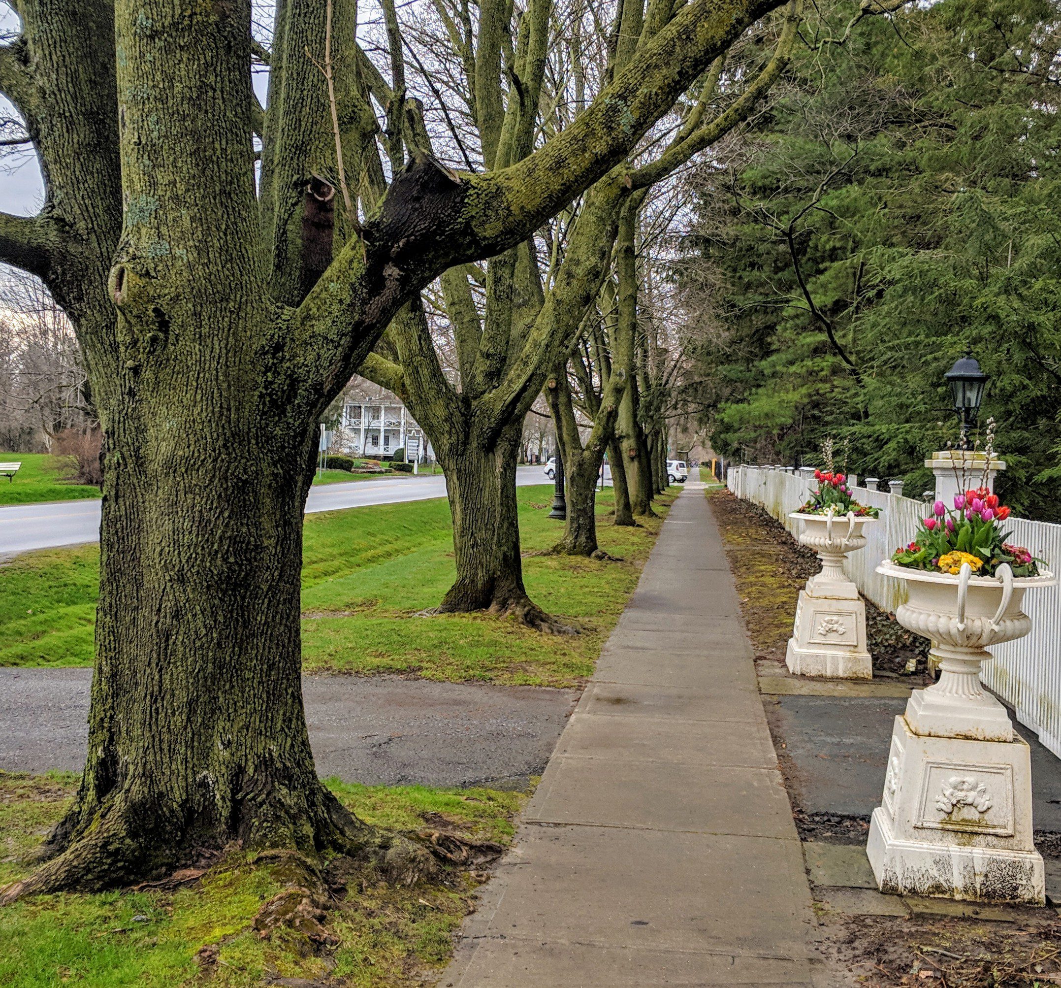
Each Friday we will explore some history of Niagara-on-the-Lake while getting a moderate paced walk. Discover where the Niagara River meets Lake Ontario. Experience the Heritage District, woods and the Niagara Parkway.Some weeks may be totally on sidewalks and roads while others may include a mix of trail and paved pathways.
Great way to build up endurance for longer more strenuous hikes.
Plan to stay for conversation and a coffee at Sweets & Swirls, Community Centre, Niagara Stone Rd., NOTL
Blue Mountains End-to-End in 5 - Hike 1
https://hikes.brucetrail.org/event/blue-mountains-end-to-end-in-5-hike-1/Sorry, the registration cut-off time for this hike has been reached.Not a member? Click here to join today!Hike open to BTC Members only.
Hosting Club: Iroquoia, Blue Mountains
Category: General Hike
Location (Google Maps): Roadside Parking on Mulmur-Nottawasaga TownlineHike Leader(s): Pati Greenwood, Jeff Dowsett Click here to contact Hike Leader(s)
Pace: Medium – 3 to 4 km/hr
Terrain: Dependent on Conditions, Moderate – Some hills and/or some poor footing
Distance: 14.1 kmDescription
This is an End-to-End hike series to complete the Blue Mountains section of the Bruce Trail in 5 hikes. Join for all or as many hikes as desired – you will need to register for each hike in the series which will take place on the following dates in April: 17, 18, 19, 24 and 25.Since this is a group hike, please consider your fitness level before registering. We will be walking at a pace of 3km – 4km per hour and hikers will need to keep up with the person in front of them for the duration of the hike. The hike series will also involve car shuttles and every hiker is expected to participate as drivers.
Weather conditions in the spring can be changeable, so it’s best to dress in layers and come prepared for varying conditions throughout the day. Hiking boots are required and hiking poles are strongly recommended. Bring plenty of fluids and a snack.
This first hike of the series will be 14.1 km long. Plan to arrive at the meeting place by 8:15 a.m. as we will start the car shuffle to the hike starting point at 8:30 a.m. sharp. Further details will be provided to registered hikers a few days prior to the hike.
Bent Rim 2 Loop
https://hikes.brucetrail.org/event/bent-rim-2-loop-2/Sorry, the registration cut-off time for this hike has been reached.Not a member? Click here to join today!Hosting Club: Iroquoia
Category: General Hike
Location (Google Maps): Meet in the small parking lot on 6th Line.Hike Leader(s): Karen Bergmann Click here to contact Hike Leader(s)
Pace: Medium – 3 to 4 km/hr
Terrain: Moderate – Some hills and/or some poor footing
Distance: 9 kmsDescription
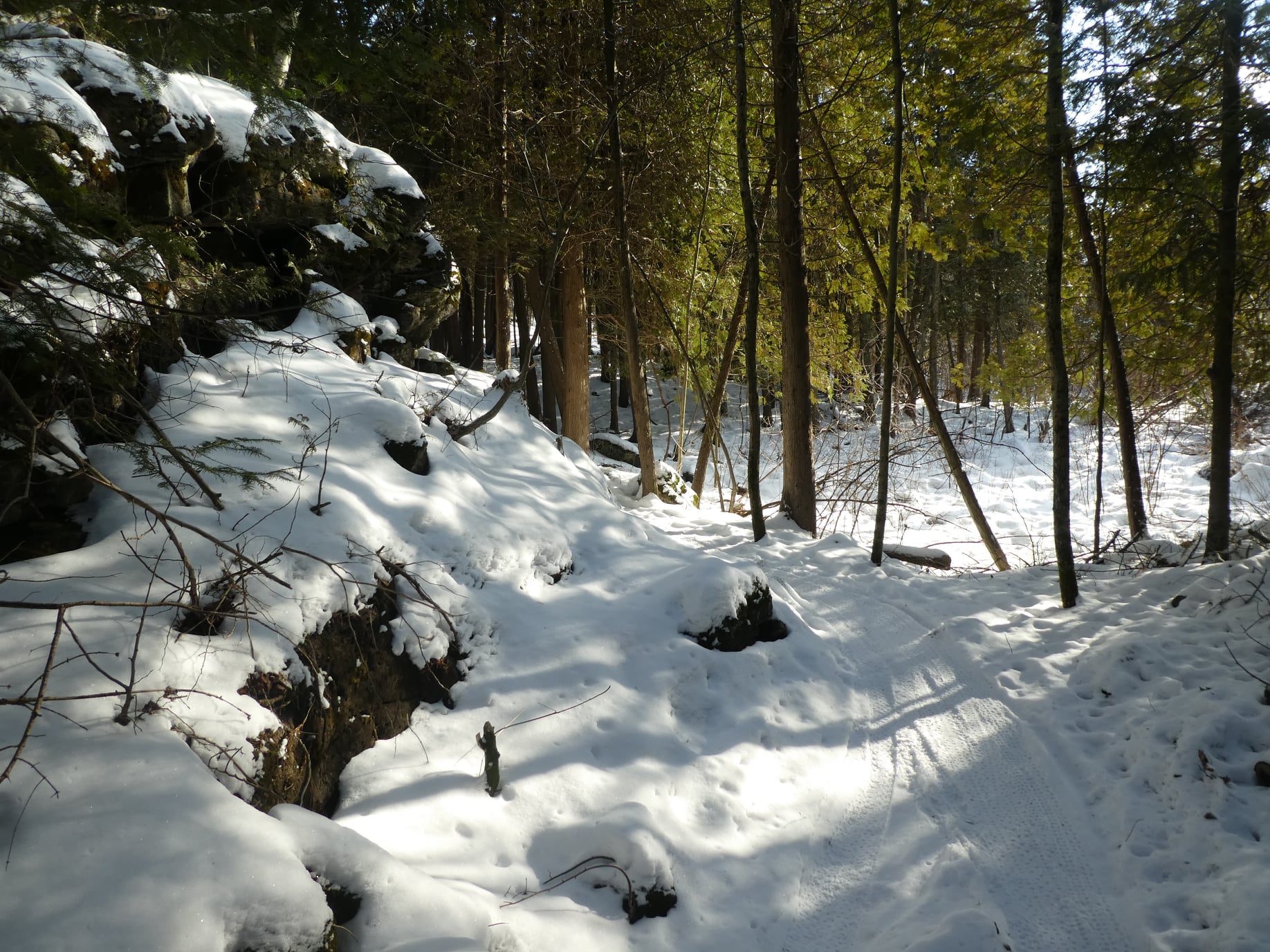
We will hike the Bent Rim 2 bike trail and back through the Halton Forest. Meet at 9:15 (earlier if possible) in the small parking lot on 6th Line, about 3 kms north of Campbellville Rd. Bring icers for your boots, in case there is still snow/ice.
Lindenwood to Lindenwood Pond loops(s)
https://hikes.brucetrail.org/event/lindenwood-pond-to-lindenwood-linear/Sorry, the registration cut-off time for this hike has been reached.Not a member? Click here to join today!Hosting Club: Sydenham
Category: General Hike
Location (Google Maps): NEW MEET LOCATION: Bruce Trail Parking Area on Lindenwood Road. Address : 363077 Lindenwood Rd, Kemble, ON N0H 1S0, Canada. Accessed from Grey County Road 17 north of Copper Kettle. Parking lot on the south side of Lindenwood Road.Hike Leader(s): Carol Graham-Mullin Click here to contact Hike Leader(s)
Pace: Leisurely: 3 km/h or less
Terrain: Easy: Mostly flat and good footing., Moderate: Some hills and/or poor footing, There might be muddy sections., There might be sections with water on the trail.
Distance: 5 km approxDescription
UPDATE: New Meet Location: Parking Lot on Lindenwood Road. See address above. This will now be a loop(s) hike due to flooding at the south end of the Gap Side Trail.Enjoy a spring hike with Carol linking the best of the Lindenwood properties. Final serpentine route will be decided at trailhead. This relatively flat section features a significant erratic boulder, a pond, and a peaceful cedar forest . Bring water, snacks and expect some muddy conditions and early spring flowers !
New Trail to Build - Hockley Resort
https://hikes.brucetrail.org/event/new-trail-to-build-hockley-resort/Sorry, the registration cut-off time for this hike has been reached.Not a member? Click here to join today!Hosting Club: Caledon Hills
Category: General
Location (Google Maps): Hockley Valley Resorts Service Road, entering off 3rd line and heading towards the chair lifts. This gravel road is south of the main entrance. DO NOT BLOCK TRAFFIC PLEASE.Hike Leader(s): Lynn
Pace: Leisurely – 3 km/hour or less
Terrain: Moderate – some hills and/or some poor footing
Distance: 1 kmDescription
The main trail at Hockley Resort is being rerouted and this work has to be done before golf season starts. On Friday, April 17th at 10:00 a.m. volunteers are needed to do benching, lopping of undergrowth and raking for trail building.This project will take a few hours – volunteers need to bring some lunch, gloves and water. We are looking for 10-12 volunteers – experienced or novice and willing to learn.
- 18April 18, 2026

Fort to Fort ENTIRE 2 DAY, April 18, 19, 2026
https://hikes.brucetrail.org/event/fort-to-fort-entire-2-day-april-18-19-2026/Sorry, the registration cut-off time for this hike has been reached.Not a member? Click here to join today!This is a Multi-Day Hike
You are signing up for the following dates and times:
2026-04-18 at 06:45
2026-04-19 atHosting Club: Niagara
Category: Event Hikes
Location (Google Maps):Kingsbridge Park, Chippawa, Ont
Hike Leader(s): Lauren Doig Click here to contact Hike Leader(s)
Pace: Medium
Terrain: Easy
Distance: 54 km over 2 daysDescription
You are SIGNING UP FOR BOTH DAYSHike the entire length of the Niagara Parkway, from Fort George to Fort Erie, over two days. Enjoy approximately 27 KM each day of beautiful river scenery. Small hills involved but mostly paved paths with some road walking. This is a self-led hike.
Meet at Kingsbridge Park each day at 6:45. You will be bussed to starting point each day.
Registration is $70 (members) or $80 (non-members). Fee includes bus, parking pass, checkpoints and badge.
Event Coordinator: Lauren Doig, ldoig52@gmail.com

Fort to Fort FIRST DAY ONLY April 18, 2026
https://hikes.brucetrail.org/event/fort-to-fort-first-day-only-april-18-2026/Sorry, the registration cut-off time for this hike has been reached.Not a member? Click here to join today!Hosting Club: Niagara
Category: Event Hikes
Location (Google Maps):Kingsbridge Park, Niagara Parkway, Niagara Falls, ON
Hike Leader(s): Lauren Doig Click here to contact Hike Leader(s)
Pace: Medium
Terrain: Easy
Distance: 27kmDescription
Meet at Kingsbridge Park at 6:45 a.m. You will be bussed to Fort George. Hike from Fort George to Kingsbridge Park , approximately 27 km. Small hills involved but mostly paved paths with some road walking. 2 checkpoints along the way. This hike is for hikers who are only going to do Day 1 of the Fort to Fort.This is a self-led hike.
Masks are optional on buses.
Registration is $60 for one day. Fee includes bus, parking pass, and checkpoints .
Event Co-ordinator: Lauren Doig, ldoig52@gmail.com
CANCELD - Peninsula BT Makeup Hike (km 117.8 – km 139.5)
https://hikes.brucetrail.org/event/peninsula-bt-makeup-hike-km-117-8-km-139-5/Sorry, the registration cut-off time for this hike has been reached.Not a member? Click here to join today!Hosting Club: Peninsula
Category: Peninsula BT Makeup Hike
Location (Google Maps):Hike Leader(s): Shawn Radcliffe & Saabir Sohrab Click here to contact Hike Leader(s)
Pace: Medium (3.0 – 4.5 km/h): A comfortable pace for most hikers with steady progress.
Terrain: Difficult: Steep ascents/descents, rocky scrambling, and some rugged escarpment paths., Moderate: Rolling hills, mild slopes and rocky paths.
Distance: ~26.6Description
Lindsay Rd 40 to Halfway Log dumpThis hike is part of the Peninsula BT Makeup Hikes, intended for hikers completing missed sections of the Peninsula Bruce Trail. Each hike requires individual registration.
To hike the entire Peninsula Section, please register for the Full Peninsula End-to-End Series (single registration for all 10 hikes): https://hikes.brucetrail.org/event/peninsula-end2end-in-10-series/2026-05-01/
Hikers may register for all 10 Makeup Hikes if they wish.
Expectations: Expect ~9 hours on the trail, depending on the terrain, weather, and group pace. The hike leader sets the pace, aiming for 3–4 km/h, and may adjust as needed for group ability and trail conditions. Breaks will be taken throughout the day.
For safety, participants must remain between the hike leader and the hike sweep at all times.
Fees:
- Registration fee does not include Bruce Peninsula National Park entry fees and parking fees
- Fundraising: This hike is a fundraiser to support the Peninsula Bruce Trail Club’s volunteer-run hike program.
Participant Requirements
- Intermediate/experienced hikers with good fitness
- Proper hiking boots, layered clothing, wet weather gear
- Hiking poles recommended
- Bring: Lunch, snacks, water, bug spray
Transportation & Accommodations
- Car shuttle: Participants rotate as drivers; vehicles must be passenger-ready
- Accommodations: Book early; options include motels, campgrounds, hostels, and B&Bs
Note: Dogs are not permitted.
City of Waterfalls – Special Event Fundraiser
https://hikes.brucetrail.org/event/city-of-waterfalls-special-event-fundraiser-6/Sorry, the registration cut-off time for this hike has been reached.Not a member? Click here to join today!This is a Multi-Day Hike
You are signing up for the following dates and times:
2026-04-18 at 08:00
2026-04-19 at 08:00Hosting Club: Iroquoia
Category: City of Waterfalls – Special Event Fundraiser
Location (Google Maps): VariesHike Leader(s): Freddy Wang Click here to contact Hike Leader(s)
Pace: Brisk – 4 to 5 km/hr
Terrain: Strenuous – Hilly with steep climbs and some poor footing
Distance: Day 1- 21km/ Day 2-24kmDescription
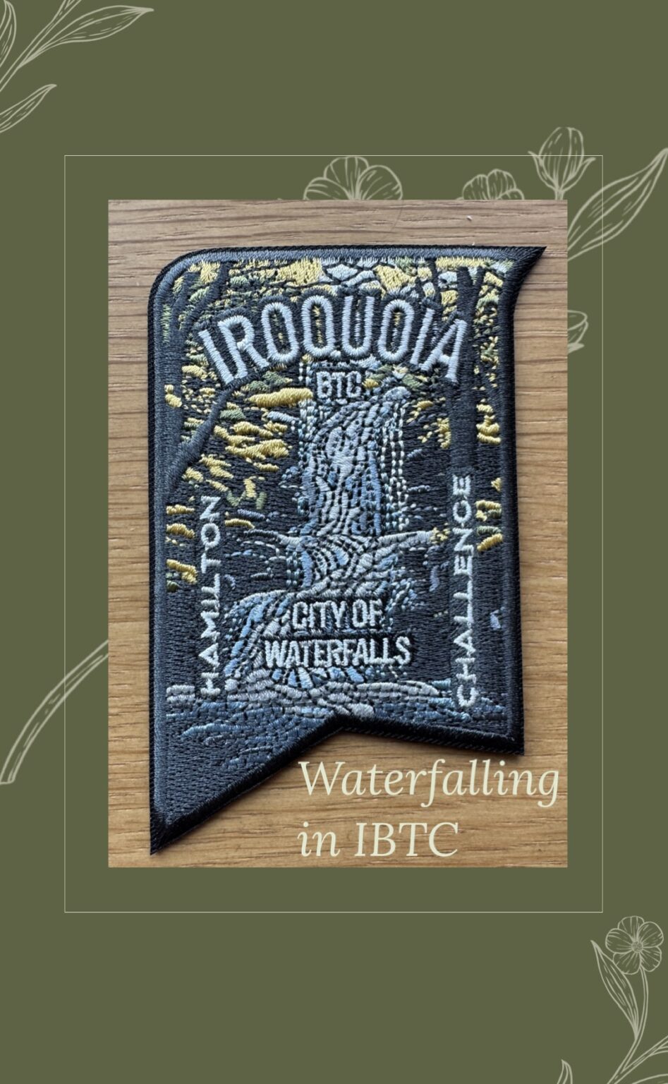
Welcome to Iroquoia, City of Waterfalls Challenge! This is a fundraiser challenge event. All funds raised go towards the Iroquoia Bruce Trail Club to maintain the infrastructure of this beautiful section of trail and to “Preserve this ribbon of wilderness, for everyone, forever!”We also encourage participants to consider a membership with Conservation Hamilton https://conservationhamilton.ca/hca-membership-pass/
DAY 1: FEB 14 – We will meet at Cityview Park and car shuttle to Spencer Gorge Parking Lot (Conservation Hamilton) and hike back. The cost at this parking lot is $16.50 per vehicle and driver plus $5.50 for each passenger.
Day 1 Distance 21kmDAY 2: FEB 15 – We will meet in the parking area off of Mud St and car shuttle to Artaban Rd Parking Lot (Conservation Hamilton) and hike back. The cost for this parking lot is $11.00 per vehicle.
Day 2 Distance 24 kmPlease ensure your vehicle is car shuttle ready by having a minimum of 4 seatbelts available – drivers do not pay for the parking. Please volunteer for this important component of this challenge. While we encourage carpooling to the start of the hike, please let the hike leader know if you’re planning to arrive with more than two people in your vehicle. This hike will be limited to 20 people including the hike leader so we will need 4-5 vehicles and one vehicle with 4 seatbelts to drive the drivers back at the end of the day. We will try to take as few vehicles as possible. On the second day, those who did not drive on the first day will be asked to drive.
There will be short breaks along the way to admire the waterfalls on route and a short lunch.
This hike is intended to be at a Brisk pace and through a very hilly section. Please be honest about your degree of physical fitness prior to registration. It is a group hike so it is important you are able to keep pace with the person in front of you.
Hikers will be expected to wear proper hiking footwear and layered clothing. Sufficient snacks/lunch, water, hiking poles, gaiters and layered clothing are recommended. Depending on terrain, icers may be required.
Don’t forget your camera for all the photo ops!
The badge will be presented to all participants who have completed the challenge at the end of the second day.
Any questions may be directed through the “Contact Hike Leader” on this form.
The fee is non-refundable.
If your availability changes, please cancel your Bruce Trail hike registration by logging into the BTC website, go to your “My Hikes” section, find the hike, and click “cancel”; if it’s last minute (under 24 hours), please email the Hike Leader directly.
Blue Mountains End-to-End in 5 - Hike 2
https://hikes.brucetrail.org/event/blue-mountains-end-to-end-in-5-hike-2/Sorry, the registration cut-off time for this hike has been reached.Not a member? Click here to join today!Hike open to BTC Members only.
Hosting Club: Iroquoia, Blue Mountains
Category: General Hike
Location (Google Maps): Parking Lot Devil’s Glen Provincial ParkHike Leader(s): Pati Greenwood, Jeff Dowsett Click here to contact Hike Leader(s)
Pace: Medium – 3 to 4 km/hr
Terrain: Dependent on Conditions, Strenuous – Hilly with steep climbs and some poor footing
Distance: 15.4 kmDescription
This is an End-to-End hike series to complete the Blue Mountains section of the Bruce Trail in 5 hikes. Join for all or as many hikes as desired – you will need to register for each hike in the series which will take place on the following dates in April: 17, 18, 19, 24 and 25.Since this is a group hike, please consider your fitness level before registering. We will be walking at a pace of 3km – 4km per hour and hikers will need to keep up with the person in front of them for the duration of the hike. The hike series will also involve car shuttles and every hiker is expected to participate as drivers.
Weather conditions in the spring can be changeable, so it’s best to dress in layers and come prepared for varying conditions throughout the day. Hiking boots are required and hiking poles are strongly recommended. Bring plenty of fluids and a snack.
This second hike of the series will be 15.4 km long. Plan to arrive at the meeting place by 8:15 a.m. as we will start the car shuffle to the hike starting point at 8:30 a.m. sharp. Further details will be provided to registered hikers a few days prior to the hike.
School Bus Hike Iroquoia E2E #6 of 8
https://hikes.brucetrail.org/event/bus-hike-iroquoia-e2e-6-of-8/Sorry, the registration cut-off time for this hike has been reached.Not a member? Click here to join today!Trip Information
Departure Time: 08:30
Return to City Time: 18:00
Departure Point: Kipling Departure PointOptional Items
Hiking ($.01)Hosting Club: Toronto
Category: Bus Hike
Location (Google Maps): Smokey Hollow to Mount NemoHike Leader(s): Tom Swales, Robin Crombie Click here to contact Hike Leader(s)
Pace: Moderate (3-4 km/hr)
Terrain: Hilly, Level 2 (Intermediate – some hills and uneven surfaces, rocks and roots underfoot), Rocky, Variable
Distance (km): 16 kmDescription
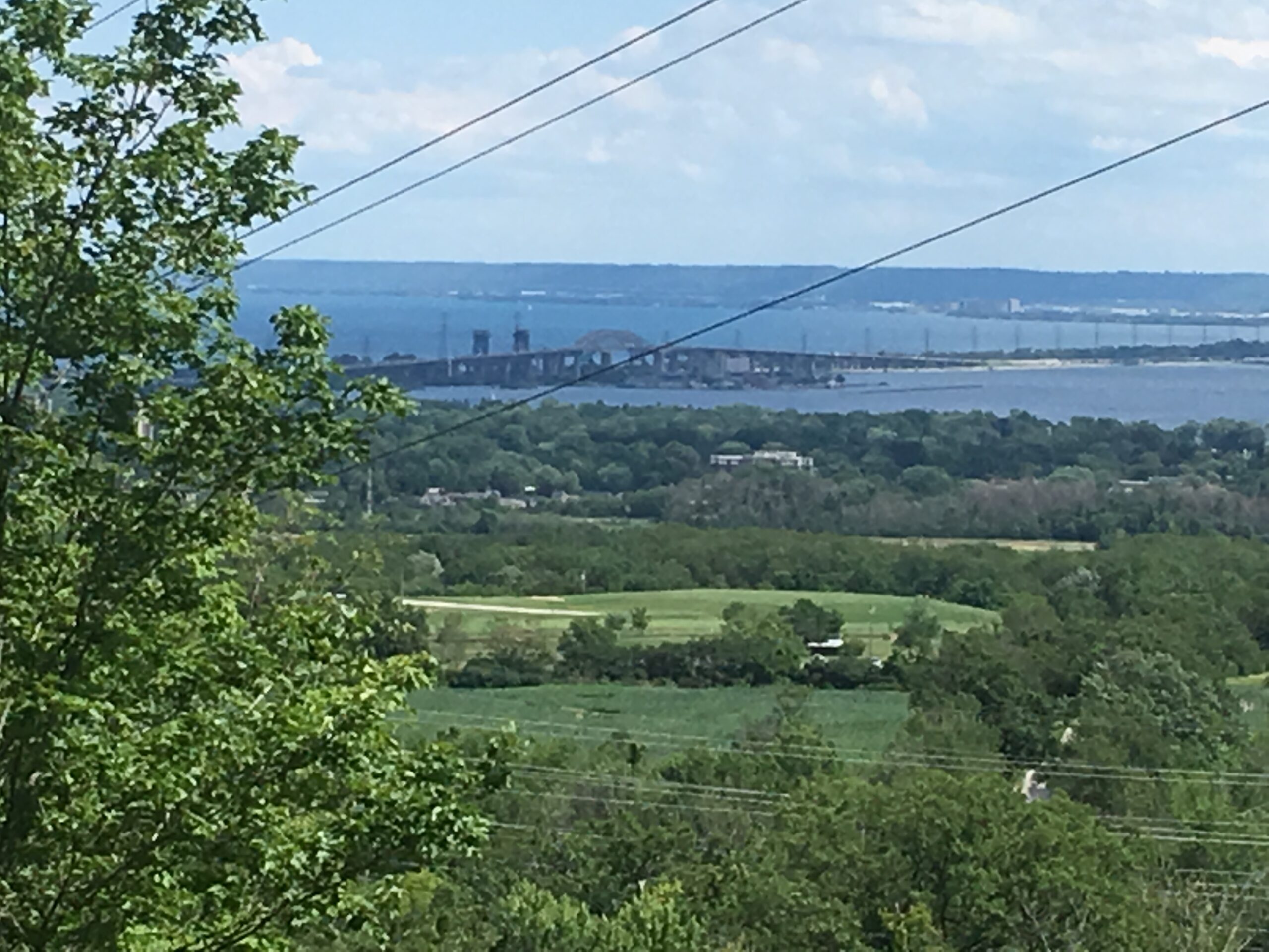
We continue our Iroquoia section End-2-End series which we began in the Fall of 2025. Any capable hikers are welcome regardless if completing the End-2-End for one of the badges or not. Hikers can expect rocky portions and hills as the trail goes up and down the Niagara escarpment. The trail may be wet and muddy. We hope to maintain a steady pace of 4 km/hr. We resume where we left off on April 4th at King Road. The hike will proceed through Kerncliff Park and Cityview Park with views over to the Burlington Skyway Bridge. There will be some road work to reach Fisher’s Pond (7 km), a BTC protected area. We continue another 2,1/2 km to the Guelph Line. The section of trail between Guelph Line and Humberside Drive is closed for an unknown duration so the bus will take us to where the trail meets Humberside Road. There will be an option to drop out of continue on road fo another 3.6 km to the Walkers Line parking lot. We will have a refreshment stop in Burlington before returning to Kipling Station.Car Hike: Uxbridge-Brock Track
https://hikes.brucetrail.org/event/car-hike-uxbridge-brock-track-2/Sorry, the registration cut-off time for this hike has been reached.Not a member? Click here to join today!Hosting Club: Toronto
Category: Car Hike
Location (Google Maps):Meet at the Brock Tract parking lot on the east side of Durham 1/Brock Rd., approximately 5 km south of Coppin’s Corners, Uxbridge or 1 km north of Uxbridge Pickering Town Line. 1401 Brock Rd. (Free parking).
Hike Leader(s): Amir Alemohammad Click here to contact Hike Leader(s)
Pace: Moderate (3-4 km/hr)
Terrain: Flat, Hilly, Level 2 (Intermediate – some hills and uneven surfaces, rocks and roots underfoot)
Distance (km): 14-15Description
Join us for a wonderful hike in Uxbridge the capital trail of Canada, in starting from Brock Track parking lot. We will hike the Brock Track and Wilder Forest among the amazing trails of Uxbridge.Boots mandatory, poles recommended, bring 2 litres of water and dress according to weather conditions.
Please arrive at 8:15 for a 8:30 start.
Beware, Iphone Maps may take you to the wrong location. Check the location with Google Maps the previous night.
This is a joint hike with Oak Ridges Trail Association (ORTA).
Car Hike: Happy Valley King City
https://hikes.brucetrail.org/event/car-hike-happy-valley-king-city-11/Sorry, the registration cut-off time for this hike has been reached.Not a member? Click here to join today!Hosting Club: Toronto
Location (Google Maps): Happy Valley, Oak Ridges Trail 16th Sideroad & Weston Road
Please park along 16th Side road
Hike Leader(s): Mohammad Aghamiri Click here to contact Hike Leader(s)
Pace: Moderate (3-4 km/hr)
Terrain: Hilly, Level 2 (Intermediate – some hills and uneven surfaces, rocks and roots underfoot)
Distance (km): 12-14 kmDescription
Come and join us to view nice scenery and look out of Happy