
The BTC office will be closed on Mon. Oct. 12 for the holiday. Thank you for your understanding.
Hike Schedule
Join us for a hike! Registration required.
All hikes available to BTC members. Some hikes are open to non-members.
See Refund Policy for Paid Hikes >
TIP: The calendar view displays up to 7 hikes on a day, but often there are more. Click “View more events” to see them all.
Niagara
Iroquoia
Toronto
Caledon Hills
Dufferin Hi-Land
Blue Mountains
Beaver Valley
Sydenham
Peninsula
All Clubs
Show Filters
Categories
Reset Filters
- 22February 22, 2026
Laura Secord 2 of 2
https://hikes.brucetrail.org/event/laura-secord-2-of-2-3/Sorry, the registration cut-off time for this hike has been reached.Not a member? Click here to join today!Hosting Club: Niagara
Category: Car Pool
Location (Google Maps): We will meet at the Laura Secord Homestead, Queenston Street, Queenston, ON and carpool back to Woodend Conservation Area. The 2 hikes in this series are in reverse order. This is done so that anyone who could only hike on one day of the weekend had a chance to complete the hike.Hike Leader(s): Lynskie Click here to contact Hike Leader(s)
Pace: Fast
Terrain: Moderate
Distance: 17kmsDescription
Meet at the parking lot for the Laura Secord Homestead. Please be at the start 15 minutes before 8:45 (8:30) so that we can arrange the carpooling. We will carpool to the start which is at Woodend Conservation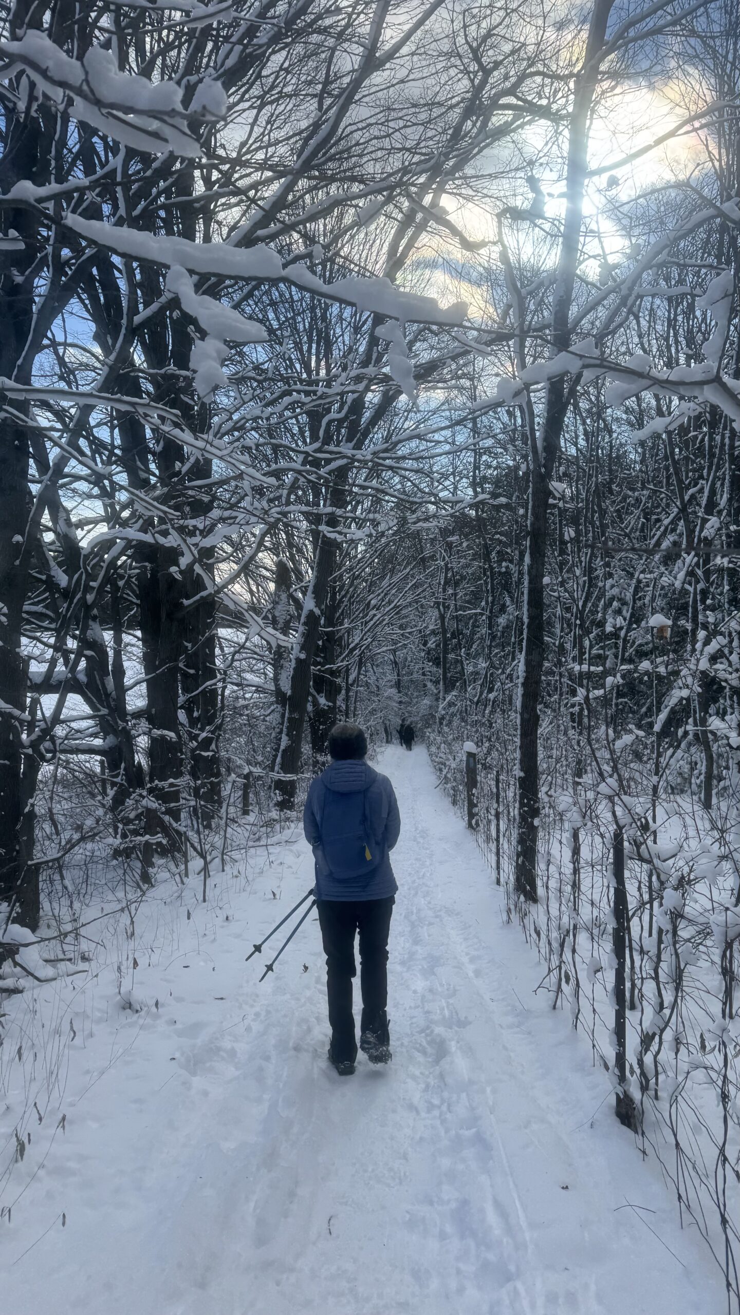
Car Hike: Jefferson Forest (Richmond Hill)
https://hikes.brucetrail.org/event/car-hike-jefferson-forest-richmond-hill-6/Sorry, the registration cut-off time for this hike has been reached.Not a member? Click here to join today!Hosting Club: Toronto
Category: Car Hike
Location (Google Maps):1245 Bethesda Side Rd, Richmond Hill, ON L4E 1A2 ( Bethesda Trail Head Parking lot)
Hike Leader(s): Amir Alemohammad Click here to contact Hike Leader(s)
Pace: Moderate (3-4 km/hr)
Terrain: Flat, Level 2 (Intermediate – some hills and uneven surfaces, rocks and roots underfoot), Variable
Distance (km): 10-12Description
Let’s roll the hills of the Jefferson Forest this winter! Every weekend, we’ll explore the winter wonderland at this beautiful park. Located in the heart of Richmond Hill, it boasts numerous hiking trails. This 3-hour hike can range from 10 to 12 kilometres, depending on the weather conditions. Remember to bring water, snacks, hiking boots, icers, poles, and your camera. Not recommended for beginners. Park in the free Bethesda parking lot and avoid parking along the road. Dress appropriately for the weather. Difficulty Level: 2 (Moderate).Please arrive @8:45AM for start of 9:00AM.
This is a joint hike with the Oak Ridges Trail Association (ORTA).
Crawford Lake (not around the lake) Loop
https://hikes.brucetrail.org/event/crawford-lake-loop-4/Sorry, the registration cut-off time for this hike has been reached.Not a member? Click here to join today!Hike open to BTC Members only.
Hosting Club: Iroquoia
Category: General Hike
Location (Google Maps): Meet at the Crawford Lake Parking Lot at 9:00am. Registration required for parking. Visit Halton Conservation website for more info.Hike Leader(s): Kirsten McCarthy Click here to contact Hike Leader(s)
Pace: Medium – 3 to 4 km/hr
Terrain: Dependent on Conditions, Moderate – Some hills and/or some poor footing, Slippery and Steep Sections, Slippery Sections Likely
Distance: Approx. 10kmDescription
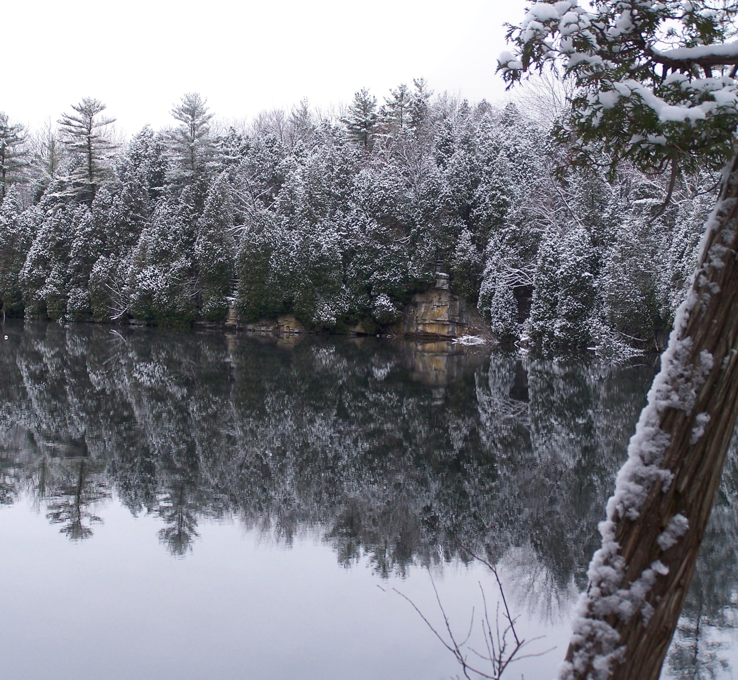
We’ll meet in the Crawford Lake parking lot at 9:00am (parking fees required – please click on the link to book a reservation for parking online – https://admin.parkpassproject.com/book/?inventoryGroup=1554186518&inventory=1508029477) and hike approx. 10kms through some beautiful winter scenery. Please dress in layers for the winter weather and wear snowshoes or icers as there could be ice under the snow. Bring enough water (2L min.) and snacks as we’ll take a couple short breaks.Car Hike: Jefferson Forest (Richmond Hill)
https://hikes.brucetrail.org/event/car-hike-jefferson-forest-richmond-hill-5/Sorry, the registration cut-off time for this hike has been reached.Not a member? Click here to join today!Hosting Club: Toronto
Category: Car Hike
Location (Google Maps):1245 Bethesda Side Rd, Richmond Hill, ON L4E 1A2 ( Bethesda Trail Head Parking lot)
Hike Leader(s): Amir Alemohammad Click here to contact Hike Leader(s)
Pace: Moderate (3-4 km/hr)
Terrain: Level 2 (Intermediate – some hills and uneven surfaces, rocks and roots underfoot)
Distance (km): 10-12 kmDescription
Let’s roll the hills of the Jefferson Forest this winter! Every weekend, we’ll explore the winter wonderland at this beautiful park. Located in the heart of Richmond Hill, it boasts numerous hiking trails. This 3-hour hike can range from 10 to 12 kilometres, depending on the weather conditions. Remember to bring water, snacks, hiking boots, icers, poles, and your camera. Not recommended for beginners. Park in the free Bethesda parking lot and avoid parking along the road. Dress appropriately for the weather. Difficulty Level: 2 (Moderate).Please arrive @8:45AM for start of 9:00AM.
This is a joint hike with the Oak Ridges Trail Association (ORTA).
Crothers Woods - Introductory/New Members Hike
https://hikes.brucetrail.org/event/crothers-woods-introductory-hike/Sorry, the registration cut-off time for this hike has been reached.Not a member? Click here to join today!Hosting Club: Toronto
Category: Urban Walk
Location (Google Maps):Meet at Todmorden Mills Historical Site in front of the gallery building. Take bus #100, #25, #87, #62, or #8 from Broadview Station to Pottery Road and walk down the hill. Note that it is a fairly steep hill and can pose varying levels of difficulty for individuals. Free public parking is available.
Hike Leader(s): Tom Swales, Janet McColeman Click here to contact Hike Leader(s)
Pace: Moderate (3-4 km/hr)
Terrain: Level 1 (Easy – mostly on flat, well maintained trails with hard-packed surface), Level 2 (Intermediate – some hills and uneven surfaces, rocks and roots underfoot)
Distance (km): 6-7 kmDescription
New Members/Introductory Hike:Anyone is welcome to join this hike but we are especially inviting our new members (and prospective members) to learn about our hiking program and how our guided hikes are classified and described in the hike schedule and what you should bring with you on hike. We will explore Crothers Woods in the Don Valley, nature in the heart of the city, which will present some moderate challanges with it’s ups and downs giving it’s Level 2 classification. The actual route will depend on conditions of the day to keep it a moderate level hike. Please bring ice traction cleats (mandatory) for a safe hike. We’ll have a brief outdoor snack/lunch stop along the route. We will return to Todmorden Mills at the end of the hike. Note transit users will need to ascend the fairly steep hill on Pottery Road at the conclusion of the hike. Washrooms are available at the Todmorden Mills Site.
On this introductory hike we will:
- Discuss how a hike is classified (Level 1,2,3, Moderate/Fast, etc)
- Discuss the variables that affect the difficulty any particular hike
- Discuss why different people have different perspectives on the difficulty level of the same hike
- Demonstrate some terrain that would raise the difficulty level of hike hiking
- Help you know you have the information required to choose the hikes right for you
GeoHike - Cave Springs Conservation Area
https://hikes.brucetrail.org/event/geohike-cave-springs-conservation-area/Sorry, the registration cut-off time for this hike has been reached.Not a member? Click here to join today!Hike open to BTC Members only.
Hosting Club: Niagara
Category: In and Out
Location (Google Maps): Cave Springs Conservation Area, 3949 Cave Spring Rd, LincolnHike Leader(s): Kristin Hanson Click here to contact Hike Leader(s)
Pace: Leisurely
Terrain: Easy, Moderate
Distance: 1.7KMDescription
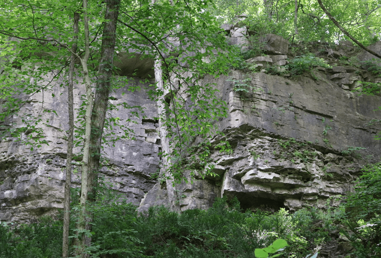
From the parking lot, we will hike along the Ice Cave Trail, the Margaret Reed Side Trail and the main Bruce Trail, stopping to explore and discuss the geology of the Niagara Escarpment, the Beamsville Bench wine region and the physiographic and geologic conditions that make it special. After a short in-and-out hike on the Ice Cave Trail, we will slowly begin an incline up the Margaret Reed side trail as we scale the Niagara Escarpment. We will consider the 450+million years of history we are hiking through as we make our way slowly to the top. We will stop along the way to discuss and rest. Once at the top, the terrain on the Bruce Trail is generally flat but footing may be uneven. It may be icy or wet and slippery. Hiking poles will make the ascent easier and give more stability on uneven footing. We will hike to the site of the very first blaze on the Bruce Trail and admire the views of Lake Ontario and the vineyards of Cave Spring and Malivoire wineries. Winter offers the most unobstructed views of this beautiful area. We will return the way we came.Hikers that are not registered cannot be accommodated on this hike. This hike is for members only.
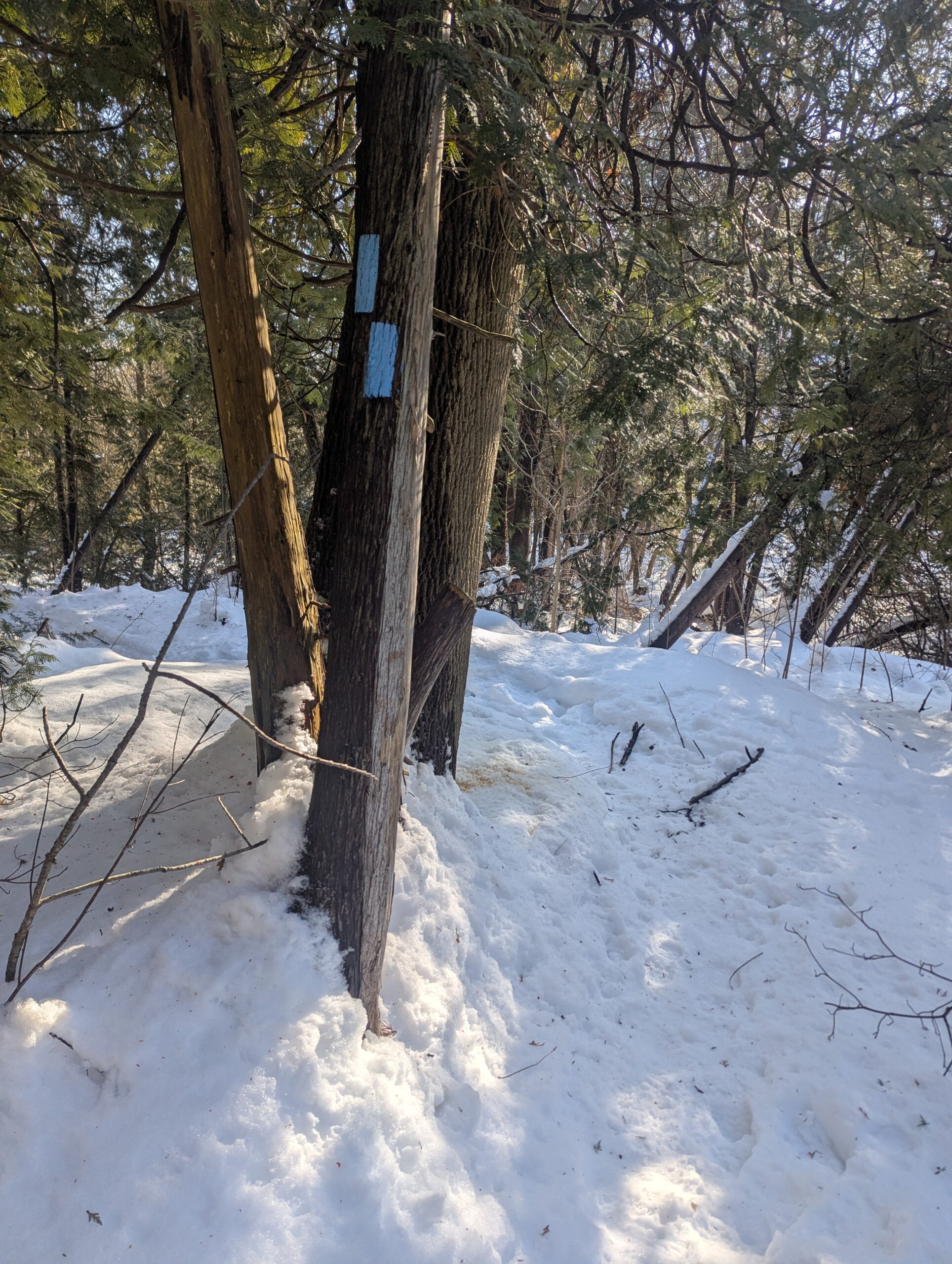
WINS hike - Ross McLean loop
https://hikes.brucetrail.org/event/wins-hike-ross-mclean-loop/Sorry, the registration cut-off time for this hike has been reached.Not a member? Click here to join today!Hosting Club: Sydenham
Category: Snowshoe Hike
Location (Google Maps): Click the (Google Maps) link on the left to direct you to parking. GPS coordinates: 44.72039, -80.97299. Roadside parking on Lundy Rd., located 0.5 km south of Concession 20. Look on the Bruce Trail app or in the Bruce Trail Reference guidebook Edition 31, Map 34 just north of km 132.5Hike Leader(s): Stewart Brown Click here to contact Hike Leader(s)
Pace: Medium: 3 to 4 km/h
Terrain: Moderate: Some hills and/or poor footing, There might be icy and slippery sections.
Distance: 4 kmDescription
The Walk In Nature Series (WINS) consists of 2 hour hikes in the Sydenham section of the Bruce Trail that combine nature appreciation with fitness in a safe and welcoming group environment led by an experienced hike leader. Consider these hikes to be appointments with yourself in nature that promote health and fitness.On this WINS snowshoe hike, discover the winter magic of the Ross McLean side trail along the frozen waters of Bass Lake. We will hike a loop circling from the side trail then back along the main trail trail. Registrants will be sent an email the day before the hike with an update of trail conditions and what to bring.
See you soon!
- 23February 23, 2026
Toronto Winter Blues - Hike 5
https://hikes.brucetrail.org/event/toronto-winter-blues-hike-5/Sorry, the registration cut-off time for this hike has been reached.Not a member? Click here to join today!Hike open to BTC Members only.
Hosting Club: Iroquoia, Toronto
Category: General Hike
Location (Google Maps): Scotsdale Farm Main Parking LotHike Leader(s): Pati Greenwood, Jeff Dowsett Click here to contact Hike Leader(s)
Pace: Medium – 3 to 4 km/hr
Terrain: Dependent on Conditions, Moderate – Some hills and/or some poor footing
Distance: 10 kmDescription
This is a series of 6 hikes to explore various side trails in the Toronto Section of the Bruce Trail. Hikers completing all six hikes will be eligible to obtain the Toronto Side Trail Badge. Each hike requires a separate registration. The hikes in this series will take place on January 12, 26, February 2, 9, 23, and March 2. Hikes will be dependent on weather / travel conditions. All hikes will be undertaken at a medium pace.This hike will explore additional side trails in the Scotsdale Farm area including the north Bennett Heritage Side Trail and the Roberts Side Trail
Dress in layers for the weather, wear appropriate hiking footwear, bring icers and hiking poles. Bring plenty of water or other hydration and a snack.
Please arrive at the meeting place by 8:15 am. We will depart promptly at 8:30 am.
If your plans change and you are unable to join the hike, please cancel your reservation in the My Hikes Section of the BTC website.
- 24February 24, 2026
9:00 Long Hike Wiley Road Short Hills NEW TIME
https://hikes.brucetrail.org/event/900-long-hike-wiley-road-short-hills-new-time-20/Sorry, the registration cut-off time for this hike has been reached.Not a member? Click here to join today!Hosting Club: Niagara
Category: Loop
Location (Google Maps):Short Hills Wiley Road Entrance
Hike Leader(s): Lynskie Click here to contact Hike Leader(s)
Pace: Brisk
Distance: 10km
Description
Explore Short Hills and the majestic side trails of Scarlett Tanager, Hemlock. Swayze Falls and Terrace. Register for each hikeBring Poles, snack, and dress for the weather
Urban Walk: Valley View Park Thornhill
https://hikes.brucetrail.org/event/urban-walk-valley-view-park-thornhill-145/Sorry, the registration cut-off time for this hike has been reached.Not a member? Click here to join today!Hosting Club: Toronto
Location (Google Maps): Parking lot is off Sycamore Drive, East of Bayview , across Starbucks plaza
Bus 91 from Finch East station stops at Sycamore station.Hike Leader(s): Mohammad Aghamiri Click here to contact Hike Leader(s)
Pace: Moderate (3-4 km/hr)
Terrain: Hilly, Level 2 (Intermediate – some hills and uneven surfaces, rocks and roots underfoot), Variable
Distance (km): 6-7 kmDescription
We will explore Valleyview and Maple View parks, and walk along German Mill Creak, in return we stop in Huntington park and have snack under beautiful shed.Although this is considered an “Urban Walk”, you can expect some hills up and down and uneven surfaces with tree roots. Please bring hiking poles, Ice cleats water and snacks.
phone number for the day of hike 289 588 6482
9:15 Short Hike - Short Hills Park, Pelham Rd
https://hikes.brucetrail.org/event/915-short-hike-short-hills-park-pelham-rd-40/Sorry, the registration cut-off time for this hike has been reached.Not a member? Click here to join today!Hike open to BTC Members only.
Hosting Club: Niagara
Location (Google Maps): Short Hills Provincial Park, Pelham Rd entrance
Hike Leader(s): Debbie Demizio Click here to contact Hike Leader(s)
Pace: Medium
Terrain: Moderate
Distance: ~ 6kmsDescription
Hike the main and side trails of Short Hills Provincial Park. Please note that there are some steep hills and rocky sections, so you should have some hiking experience before joining this hike. Please bring water, hiking poles and icers, as the trails can be icy at times.Glen Haffy/Oak Ridges Trail
https://hikes.brucetrail.org/event/glen-haffy-oak-ridges-trail/Sorry, the registration cut-off time for this hike has been reached.Not a member? Click here to join today!Hosting Club: Dufferin Hi-Land
Category: Tuesday Hike
Location (Google Maps): Caledon Hills, Map 17. Meet on Coolihans Sideroad, just southwest of Glen Haffy Rd (usually closed in winter), where the Main Trail crosses the road.Hike Leader(s): Les Babbage; Inge Eckerich; Julie Daley; Tony Evangelista Click here to contact Hike Leader(s)
Pace: Leisurely
Terrain: Dependent on Conditions, Slippery Sections Likely
Distance: 5.2 km; Short hike: 3-4 kmDescription
We will hike south on the Main Trail through Glen Haffy Conservation Area, then follow the Oak Ridges Trail east to Centreville Creek Road, returning by the same route. Snowshoes or ices may be required. Poles recommended. Bring water and a snack and dress for the weather.Black History Month Hike
https://hikes.brucetrail.org/event/black-history-month-hike/Sorry, the registration cut-off time for this hike has been reached.Not a member? Click here to join today!Hosting Club: Caledon Hills
Category: Tuesday Hikers
Location (Google Maps): Meet in the parking lot of the Ancaster outdoor pool, 263 Jerseyville Rd West. – car pooling recommended.Hike Leader(s): Doris Harper Click here to contact Hike Leader(s)
Pace: Medium – 3 to 4 km/hour
Terrain: Moderate – some hills and/or some poor footing
Distance: approximately 10 kmDescription
From the parking area – 263 Jerseyville Rd. West – we will access the Spring Valley Trail and connect to the Dundas Valley hiking trails. We will visit the historic cabin, built by the first black settlers and to the Hermitage ruins. We will continue on the trails and then return to the parking area at the pool parking lot.Dress warmly for the weather, bring snacks, beverage of choice, consider thermos with warm drink.
Hamilton Soupfest
https://hikes.brucetrail.org/event/hamilton-soupfest-4/Sorry, the registration cut-off time for this hike has been reached.Not a member? Click here to join today!Hike open to BTC Members only.
Hosting Club: Iroquoia
Category: Special Event
Location (Google Maps): Bayfront Park parking lotHike Leader(s): Jill Parratt Click here to contact Hike Leader(s)
Pace: Leisurely – 3km/hr or less
Terrain: Easy – Mostly flat and usually good footing
Distance: 6Description
Please meet at 9:45 for a 10am start.
We wiil walk the Bayfront path to the canal and continue to the Cathedral. We will then walk side streets to the Hamilton Convention Centre.
Hamilton Soupfest supports the Living Rock Youth Centre. You receive 4 soup samples. You can pay at the door $25 or online $20 at www.livingrock.ca/soupfest.
After soup and voting we can walk back to the cars along Bay St as a group or on your own.
Jill Parratt
- 25February 25, 2026

Niagara E2E Winter - 5 of 5 (Wednesdays)
https://hikes.brucetrail.org/event/niagara-e2e-winter-5-of-5-wednesdays/Sorry, the registration cut-off time for this hike has been reached.Not a member? Click here to join today!Hosting Club: Niagara, Iroquoia
Category: General Hike
Location (Google Maps): Grimsby Lions Community Pool, 1 Elm St (30), 43.193201, -79.565301Hike Leader(s): Steven White Click here to contact Hike Leader(s)
Pace: Brisk – 4 to 5 km/hr, Medium – 3 to 4 km/hr
Terrain: Moderate – Some hills and/or some poor footing, Slippery and Steep Sections
Distance: 16.8 kmDescription
The Niagara E2E Winter in 5 will be Wednesdays Jan 28, Feb 4, 11, 18, 25. Hikers must register for individual hikes. Hikes are 14-18 kms and expect an average pace of 4 km/hr with snack/lunch breaks.Hikers should be prepared for the season – layered clothing, hiking boots, icers, snowshoes (if we get fresh snowfall), poles, water, snacks/lunch, first aid kit.
Hikers should be prepared to share their cars for shuttling – to be shared evenly.
If we encounter unsafe hiking or driving conditions, I will cancel/re-schedule the hike the day before. If you are unable to join us on the day of the hike, please text me at 289-242-9415

Speyside from 4th Line
https://hikes.brucetrail.org/event/speyside-from-4th-line-2/Sorry, the registration cut-off time for this hike has been reached.Not a member? Click here to join today!Hosting Club: Iroquoia
Category: General Hike
Location (Google Maps): Meet at 9:15 roadside on 4th Line where the main trail crosses the roadHike Leader(s): Karen Bergmann Click here to contact Hike Leader(s)
Pace: Medium – 3 to 4 km/hr
Terrain: Moderate – Some hills and/or some poor footing
Distance: 9 kmsDescription
A new way to hike the Speyside trails, we’ll meet roadside on Fourth Line at 9:15 am and hike the main trail to the Canada Goose ST and onto the Charles Hildebrandt ST to the “unassumed road” and into Speyside from that end. Hiking around the Cliff Hatch ST and main trail back to Fourth Line. There are some very rocky sections along these trails. Bring icers for your boots. Hike is dependent on weather conditions.Winter Wednesday Walkers - Seigerman/Allan
https://hikes.brucetrail.org/event/winter-wednesday-walkers-seigerman-allan-2/Sorry, the registration cut-off time for this hike has been reached.Not a member? Click here to join today!Hosting Club: Beaver Valley
Location (Google Maps): Meet on the north side shoulder of Sideroad 22C at the corner with 3rd Line , km 99.9, Map 28, Edition 31.
Hike Leader(s): Glenda Collings Click here to contact the hike leader.
Pace: Medium
Terrain: Some steep sections
Length of Hike: Approx. 6 kmDescription
This is an out and back hike which takes us through the former Siegerman Side Trail which is now main trail and the BTC acquired Allan property, see a pretty creek, hardwood and evergreen forests and AVC trails snow covered in winter. On winter hikes we may encounter bare ground, light snow, deep snow, or ice. Please bring snowshoes and icers to our Winter Wednesday Walkers outings. Wear appropriate clothing for the weather plus water and a snack.COVID-19 Precautions Before, During and After your Hike
- Each hiker joining a Bruce Trail Club organized hike must perform a self-screening check before hiking.
Find Ontario’s self-assessment tool here: https://covid-19.ontario.ca/self-assessment/ - If you are experiencing COVID-19 symptoms, stay home.
Other Guidelines
- Arrive 15 minutes before the start of the hike.
- Wear sturdy footwear and appropriate attire for the weather and the terrain.
Hiking poles are a good idea in any season, especially if the terrain is rocky or slippery. In winter, snowshoes or icers/crampons are needed when conditions dictate.
Wearing appropriate clothing and footwear prevents injuries and shows consideration for a safe and positive group hiking experience. - Always carry I.D. and your health card.
- Bring sufficient water and snacks (or lunch if indicated). A minimum of 1L of water is recommended on all hikes, and 3L is recommended for long, challenging hikes in the heat of the summer.
- Bring sunscreen and insect repellent (for spring and summer hikes).
- Bring your own first aid kit.
- Please leave dogs at home.
Good Companions - Dundas Valley from Sanctuary Park
https://hikes.brucetrail.org/event/good-companions-dundas-valley-from-sanctuary-park-4/Sorry, the registration cut-off time for this hike has been reached.Not a member? Click here to join today!Hosting Club: Iroquoia
Category: Good Companions
Location (Google Maps):Parking lot for Sanctuary Park – See map and address below (if parking lot is full, park on adjacent side streets)
Hike Leader(s): Ted Bossence Click here to contact Hike Leader(s)
Pace: Medium – 3 to 4 km/hr
Terrain: Dependent on Conditions, Slippery Sections Likely, Strenuous – Hilly with steep climbs and some poor footing
Distance: 8 kmDescription
From Sanctuary Park we will hike the Spring Creek trail and parts of the Sawmill trail to the Trail Centre. After a break, (washrooms “should” be available at the trail centre) we will walk to the south side of the rail trail and take the Main Loop, Sulphur Creek, local access trails and rail trail (or just the rail trail from the trail centre, dependent on conditions).Please arrive 15 minutes before the start time. I will be leaving at 10:00 am sharp. Bring water, icers, a first aid kit and a snack. Poles are highly recommended due to the number of hills and some hills may be icy/slippery, particularly the first long hill from the park. I will cancel the hike in case of inclement weather. Please check your email the evening before the hike in case of a cancellation. If you must cancel after the 4:00 pm Tuesday cut-off time I will be sending contact info on the Tuesday.
- Each hiker joining a Bruce Trail Club organized hike must perform a self-screening check before hiking.
- 26February 26, 2026
9:00 am Long hike NEW Location. Bailey bridge Jordan
https://hikes.brucetrail.org/event/900-am-long-hike-new-location-bailey-bridge-jordan-10/Sorry, the registration cut-off time for this hike has been reached.Not a member? Click here to join today!Hosting Club: Niagara
Location (Google Maps):
Bailey bridge Jordan
Pace: Brisk
Terrain: Strenuous
: 10kDescription
This will be our permanent location . Hike up from the Bailey bridge to Balls Falls and explore the trailsYou must register for each hike. Bring Poles, snack and a drink. Dress for the weather
Hiking around Jordan
https://hikes.brucetrail.org/event/hiking-around-jordan-48/Sorry, the registration cut-off time for this hike has been reached.Not a member? Click here to join today!Hosting Club: Niagara
Location (Google Maps): NEW LOCATION
Shoarishon Park
3039 King Street, Jordan LOR ISOHike Leader(s): Bill Russell Click here to contact Hike Leader(s)
Pace: Medium
Terrain: Moderate
Distance: 7 kmDescription
Hiking in and around Jordan including Jim Rainforth Trail, Bailey Bridge and Balls Falls (alternating every 3 weeks).Urban Walk: Valley View Park Thornhill
https://hikes.brucetrail.org/event/urban-walk-valley-view-park-thornhill-146/Sorry, the registration cut-off time for this hike has been reached.Not a member? Click here to join today!Hosting Club: Toronto
Location (Google Maps): Parking lot is off Sycamore Drive, East of Bayview , across Starbucks plaza
Bus 91 from Finch East station stops at Sycamore station.Hike Leader(s): Mohammad Aghamiri Click here to contact Hike Leader(s)
Pace: Moderate (3-4 km/hr)
Terrain: Hilly, Level 2 (Intermediate – some hills and uneven surfaces, rocks and roots underfoot), Variable
Distance (km): 6-7 kmDescription
We will explore Valleyview and Maple View parks, and walk along German Mill Creak, in return we stop in Huntington park and have snack under beautiful shed.Although this is considered an “Urban Walk”, you can expect some hills up and down and uneven surfaces with tree roots. Please bring hiking poles, Ice cleats water and snacks.
phone number for the day of hike 289 588 6482
- 27February 27, 2026
NEW DATE: Rattlesnake Point to Crawford Lake and back (RESCHEDULED FROM JAN 9)
https://hikes.brucetrail.org/event/rattlesnake-point-to-crawford-lake-and-back/Sorry, the registration cut-off time for this hike has been reached.Not a member? Click here to join today!Hosting Club: Iroquoia
Category: General Hike
Location (Google Maps): Rattlesnake Point Conservation Area – Parking Reservation RequiredHike Leader(s): Pati Greenwood, Jeff Dowsett Click here to contact Hike Leader(s)
Pace: Medium – 3 to 4 km/hr
Terrain: Dependent on Conditions, Moderate – Some hills and/or some poor footing, Slippery Sections Likely
Distance: 10.5 kmDescription
NOTE: THIS HIKE WAS ORIGINALLY SCHEDULED FOR JANUARY 9 AND IS RESCHEDULED TO FEBRUARY 27This will be a loop hike starting and ending on the Rattlesnake Point Side Trail. We will hike along the main trail as well as the BT side trails to take us to Crawford Lake and back. Bring snacks and plenty of water. Wear layered clothing for winter conditions, bring icers and hiking poles.
Parking reservations must be obtained from Conservation Halton (https://www.conservationhalton.ca/) . Please arrive at 8:15 am as we will leave promptly at 8:30 am.

Car Hike: Niagara Winter E2E in 5 - #1
https://hikes.brucetrail.org/event/car-hike-niagara-winter-e2e-in-5-1/Sorry, the registration cut-off time for this hike has been reached.Not a member? Click here to join today!Hike open to BTC Members only.
Hosting Club: Toronto
Category: Car Hike
Location (Google Maps): Meet at the entrance to Woodend Conservation Area, km 15.5, GPS co-ordinates 43.143241,-79.167617, just off Taylor Rd and we’ll shuttle to Locust Grove Picnic Area on Niagara River Parkway near Brock’s Monument.Hike Leader(s): Jacqueline Van Dyke Click here to contact Hike Leader(s)
Pace: Brisk (4-5 km/hr), Moderate (3-4 km/hr)
Terrain: Variable
Distance (km): 16kmDescription
Come and join in on one or more hikes of this series. The other hikes will be Feb. 27, 28, Mar. 4, 5, 6. Hikers must register for individual hikes. Hikes are 14-18 kms and expect an average pace of 4 km/hr with snack/lunch breaks. Please arrive 15 minutes early so you’re ready for the shuttle to begin promptly at 8:30.Hikers should be prepared for the season – layered clothing, hiking boots, snowshoes (if we get fresh snowfall), poles, water, snacks/lunch, first aid kit, and icers.
Hikers should be prepared to share their cars for shuttling – to be shared evenly.
If we encounter unsafe hiking or driving conditions, I will cancel/re-schedule the hike the day before. If you are unable to join us on the day of the hike, please text me at 647-231-0946.
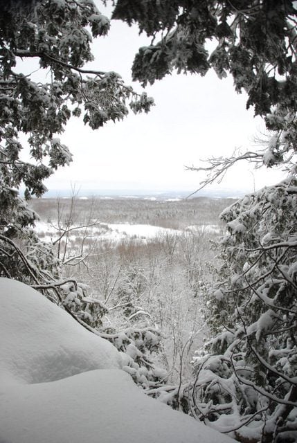
Brisk Fridays - Bayview Escarpment Provincial Nature Reserve
https://hikes.brucetrail.org/event/brisk-fridays-bayview-escarpment-provincial-nature-reserve/Sorry, the registration cut-off time for this hike has been reached.Not a member? Click here to join today!Hosting Club: Sydenham
Category: Snowshoe Hike
Location (Google Maps): Click the (Google Maps) link on the left to direct you to parking. GPS coordinates: 44.63754, -80.73341. Park at the curve on the St. Vincent-Sydenham Townline, 4.8 km north of Highway 26. Found in the Bruce Trail Reference guidebook Edition 31, Map 30 at km 52.7.Hike Leader(s): Stewart Brown Click here to contact Hike Leader(s)
Pace: Brisk: 4 to 5 km/h
Terrain: Strenuous: Hilly with steep climbs and some poor footing., There might be icy and slippery sections.
Distance: 10.5 kmDescription
This strenuous snowshoe hike in the Bayview Escarpment Provincial Nature Reserve passes through various forest ecosytems and offers stunning views to the east stretching to Georgian Bay on a clear day. Our actual pace will be between 2.5 and 3.0 km/h which requires an effort that matches what would be required on a summer hike of a brisk pace of 4-5 km/h. Be prepared for a good workout in the snow despite a flat terrain. Registrants will receive an email the day before the hike with an update of trail conditions and what to bring. Snowshoeing 10.5 km is no easy feat, but if you’re up to the challenge, you are most welcome!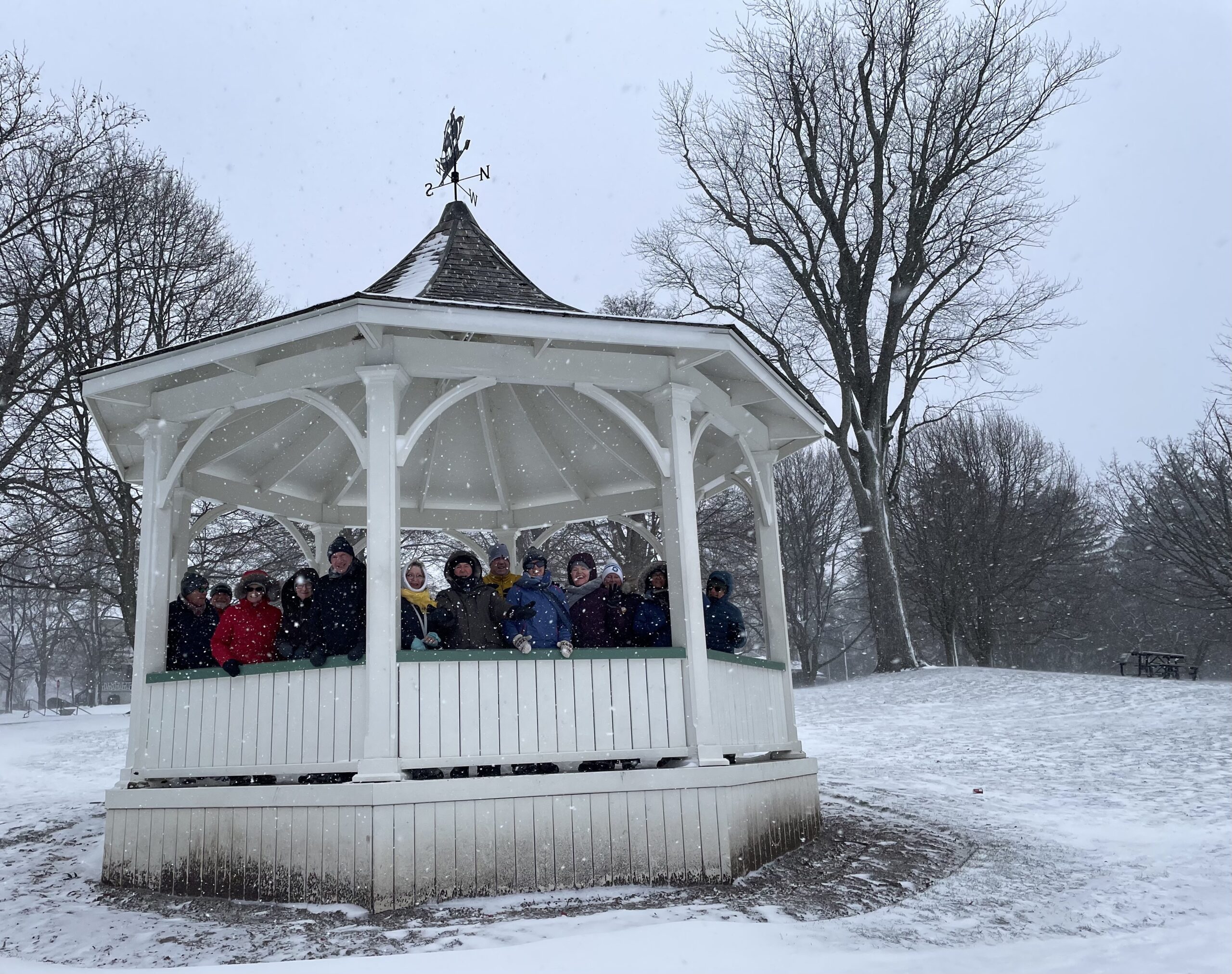
9am Niagara-on-the-Lake Tour
https://hikes.brucetrail.org/event/9am-niagara-on-the-lake-tour-3/Sorry, the registration cut-off time for this hike has been reached.Not a member? Click here to join today!Hosting Club: Niagara
Category: Urban
Location (Google Maps): Park on King St near Centre St, NOTLHike Leader(s): Margaret Northfield Click here to contact Hike Leader(s)
Pace: Medium
Terrain: Easy
Distance: 6-7kmDescription
Each Friday we will explore different neighbourhoods, trails and parkland throughout Historic Niagara-on-the-Lake.Moderate pace with some weeks entirely on sidewalks and roads while others may include a mix of trails and paved pathways. Great way to build up endurance for longer more strenuous hikes.
Prepare for cooler windy conditions on open parkland and along Lake Ontario and Niagara River trails.
Plan to stay for conversation and a warm cup of coffee or tea at Sweets & Swirls, Community Centre, Niagara Stone Road, NOTL
- 28February 28, 2026
Hike of 2 lakes King city
https://hikes.brucetrail.org/event/car-hike-east-point-park-bird-sanctuary-scarborough-on-6/Sorry, the registration cut-off time for this hike has been reached.Not a member? Click here to join today!Hosting Club: Toronto
Location (Google Maps): Park along Fairfield Dr. or Dufferin Street, Gathering at trail head in Dufferin Street.
Hike Leader(s): Mohammad Aghamiri Click here to contact Hike Leader(s)
Pace: Moderate (3-4 km/hr)
Terrain: Level 2 (Intermediate – some hills and uneven surfaces, rocks and roots underfoot), Variable
Distance (km): 14-15 kmDescription
Some safety procedures during the hike:1-Hikers must stay between the leader and the sweep.
2-Hikers must advise the leader or the sweep if they wish to leave the group.
3- Hikers must follow the whistle instructions: 1 blast- stay where you are; 2 blasts come to the leader; 3 blasts – come to the leader quickly.
4-Hike leader may request volunteers to stop at trail intersections, they need to help hikers to the direction the group walk and wait till they see the sweep .
5-Hikers have to make sure they can see the persons behind and in front of them.
Please bring lots of water and snacks ,Ice cleats and hiking poles are recommended
phone number for the day of hike 289 588 6482
Car Hike: Dufferin Hi-Land End2End 1/4
https://hikes.brucetrail.org/event/car-hike-dufferin-hi-land-end2end-1-4/Sorry, the registration cut-off time for this hike has been reached.Not a member? Click here to join today!Hosting Club: Toronto, Dufferin Hi-Land
Category: Car Hike
Location (Google Maps): Roadside Parking – on Mulmur-Nottawasaga Townline, 550 meters east of Lavender Hill Rd at the cemetery. (Don’t block the cemetery gate). Km 54.9 Map 21, Edition 31. GPS N44.268777, W80.156810Hike Leader(s): Ross Estrella Click here to contact Hike Leader(s)
Pace: Moderate (3-4 km/hr)
Terrain: Challenging, Hilly, Level 2 (Intermediate – some hills and uneven surfaces, rocks and roots underfoot), Rocky
Distance (km): 14Description
This is DHBTC E2E in 4. E2E hikers are rewarded the club coveted E2E badge upon completion. However, joiners must complete the four series hikes to earn their badge. Missed segment/s must be made up prior to the completion of the last leg to receive their badge. Hiking is not just being the fastest or finishing first, more stories are created along the journey on seeing and feeling the landscape and making friends with other member of the group. Day hikes essentials to bring, lunch/snacks, sufficient preferred liquid hydration, sun screen, bug spray, head covering for sun protection, appropriate clothing for the weather, personal medication/s (if any), health card, happy face and your enthusiasm. Hiking shoes and poles are highly recommended. Please note that “Icers” are now mandatory to carry on all hikes from the on set of Winter to mid-April. Showing up at meet up location for non-compliance will result to be refuse joining the group. Make sure you and your car are shuttle ready as everybody are expected to participate. Cost of badge is 10 dollars for BTC member and 15 dollars for non-member. Please arrive fifteen minutes early for car shuttling.This is a H4H-H4F !!!.hike. If this schedule suits you, you’re welcome to join.
Note: to reach the specific parking lot location, use GPS Coordinates specified at the meet-up location above.

Car Hike: Niagara Winter E2E in 5 - #2
https://hikes.brucetrail.org/event/car-hike-niagara-winter-e2e-in-5-2/Sorry, the registration cut-off time for this hike has been reached.Not a member? Click here to join today!Hike open to BTC Members only.
Hosting Club: Toronto
Category: Car Hike
Location (Google Maps): Meet at Decew House Heritage Park, enter from Decew Rd, km 29.9, GPS 43.107568,-79.249598. We will shuttle to the parking at the entrance to Woodend Conservation Area, km 15.5, GPS 43.143241,-79.167617 to begin our hike.Hike Leader(s): Jacqueline Van Dyke Click here to contact Hike Leader(s)
Pace: Brisk (4-5 km/hr), Moderate (3-4 km/hr)
Terrain: Variable
Distance (km): 15kmDescription
Come and join in on one or more of this winter series. Hikers must register for individual hikes. Hikes are 14-18 kms and expect an average pace of 4 km/hr with snack/lunch breaks.Hikers should be prepared for the season – layered clothing, hiking boots, icers, snowshoes (if we get fresh snowfall), poles, water, snacks/lunch, first aid kit, and icers. Please arrive in time to be ready for our 8:30 departure.
Hikers should be prepared to share their cars for shuttling – to be shared evenly.
If we encounter unsafe hiking or driving conditions, I will cancel/re-schedule the hike the day before. If you are unable to join us on the day of the hike, please text me at 647-231-0946.
School Bus Hike Toronto Section Winter Badge End to End #4 of 6
https://hikes.brucetrail.org/event/school-bus-hike-toronto-section-winter-badge-end-to-end-4-of-6/Sorry, the registration cut-off time for this hike has been reached.Not a member? Click here to join today!Trip Information
Departure Time: 08:30
Return to City Time: 18:00
Departure Point: York Mills Bus PickupOptional Items
Hosting Club: Toronto
Category: Bus Hike
Location (Google Maps): Duff Pit Side Trail – Eigth Line Side TrailHike Leader(s): George Lennon, Janet Patterson Click here to contact Hike Leader(s)
Pace: Leisurely (2-3 km/hr)
Terrain: Challenging, Level 2 (Intermediate – some hills and uneven surfaces, rocks and roots underfoot), Variable
Distance (km): 8.2 kmDescription
We will be hiking in winter conditions of ice and snow so these will be slower and shorter hikes than in other seasons. Icers or snowshoes are mandatory, and gaiters and poles recommended. The terrain is not too hilly, but the footing is treacherous in winter with many uneven, rocky sections to navigate. The leaders will let registrants know in advance if snowshoes are feasible for the day. Please bring at least 2L of water, snacks, and your lunch. Any hikers are welcome to join the hikes regardless of whether a person is working towards a badge. Those who complete all 6 hikes will qualify for the Toronto club’s Winter E2E badge. The fee is $10 per badge ($15 for non-members) and will be collected by the hike leader on this trip, #4. Or you may choose to purchase the special stained glass Fundraising End to End badge for $30.This hike will take us from the Duff Pit Side Trail to the Eighth Line Side Trail Parking Lot. There will be a refreshment/social stop in Georgetown after the hike before returning to the York Mills Station departure point by 6:00 PM.
Fireman's Park/ Mewburn Rd/ Queenston Heights Loops
https://hikes.brucetrail.org/event/firemans-park-mewburn-rd-queenston-heights-loops/Sorry, the registration cut-off time for this hike has been reached.Not a member? Click here to join today!Hosting Club: Niagara
Category: Loop
Location (Google Maps): 1830 Dorchester Rd. This is the parking area at the very bottom of Dorchester Rd in Fireman’s ParkHike Leader(s): Lauren Doig Click here to contact Hike Leader(s)
Pace: Brisk
Terrain: Moderate
Distance: 18 kmDescription
We will loop around Fireman’s Park to Mewburn Rd and back, then do a loop to Queenston Heights, taking various side trails along the way.Bring pokes, icers and a snack. Dress for the weather
Car Hike: Scotsdale Farm
https://hikes.brucetrail.org/event/car-hike-scotsdale-farm-17/Sorry, the registration cut-off time for this hike has been reached.Not a member? Click here to join today!Hosting Club: Caledon Hills
Category: General
Location (Google Maps): Scotsdale Farm, Map 13. Directions; from Highway 401, head north on Trafalgar Road past Georgetown. Trafalgar briefly merges with Highway 7 for about 3 km before separating to the right at the village of Silver Creek. At the stop light in Silver Creek, continue north on Trafalgar Road for about 1 km to the entrance of Scotsdale Farm on your right. Drive in about half a kilometre to reach the parking area.Hike Leader(s): Dylan “Lana” Hubbard Click here to contact Hike Leader(s)
Pace: Medium – 3 to 4 km/hour
Terrain: Moderate – some hills and/or some poor footing
Distance: 12 kmDescription
Join us for a loop hike along the main Bruce Trail and its scenic side trails, including the stunning Great Esker Side Trail.Please dress appropriately for the weather, bring plenty of water, and pack some snacks. Note that parts of the trail are rocky, so poles AND ICERS are highly recommended.
We are committed to fostering an inclusive and welcoming environment. This hike is an LGBTQ+ safe space, and everyone is encouraged to join us!
Collingwood Museum hike with former Shipyard Worker
https://hikes.brucetrail.org/event/collingwood-museum-hike-with-former-shipyard-worker/Sorry, the registration cut-off time for this hike has been reached.Not a member? Click here to join today!Hosting Club: Blue Mountains
Category: Organized Hike
Location (Google Maps): Collingwood Museum, 45 St. Paul Street, CollingwoodHike Leader(s): David Little Click here to contact Hike Leader(s)
Pace: Leisurely – 3 km/hr. or less
Terrain: Easy – Mostly flat and usually good footing
Distance: 5 kmDescription
We meet at the Museum parking lot for a 9am start. The hike follows the Train Trail south until we reach the Hamilton Drain Trail. We then follow the Pretty River along dog walker paths and town trails to the Sunset Point Park before making it back to the museum. The hikers have an option to visit the museum and learn of Collingwood’s past.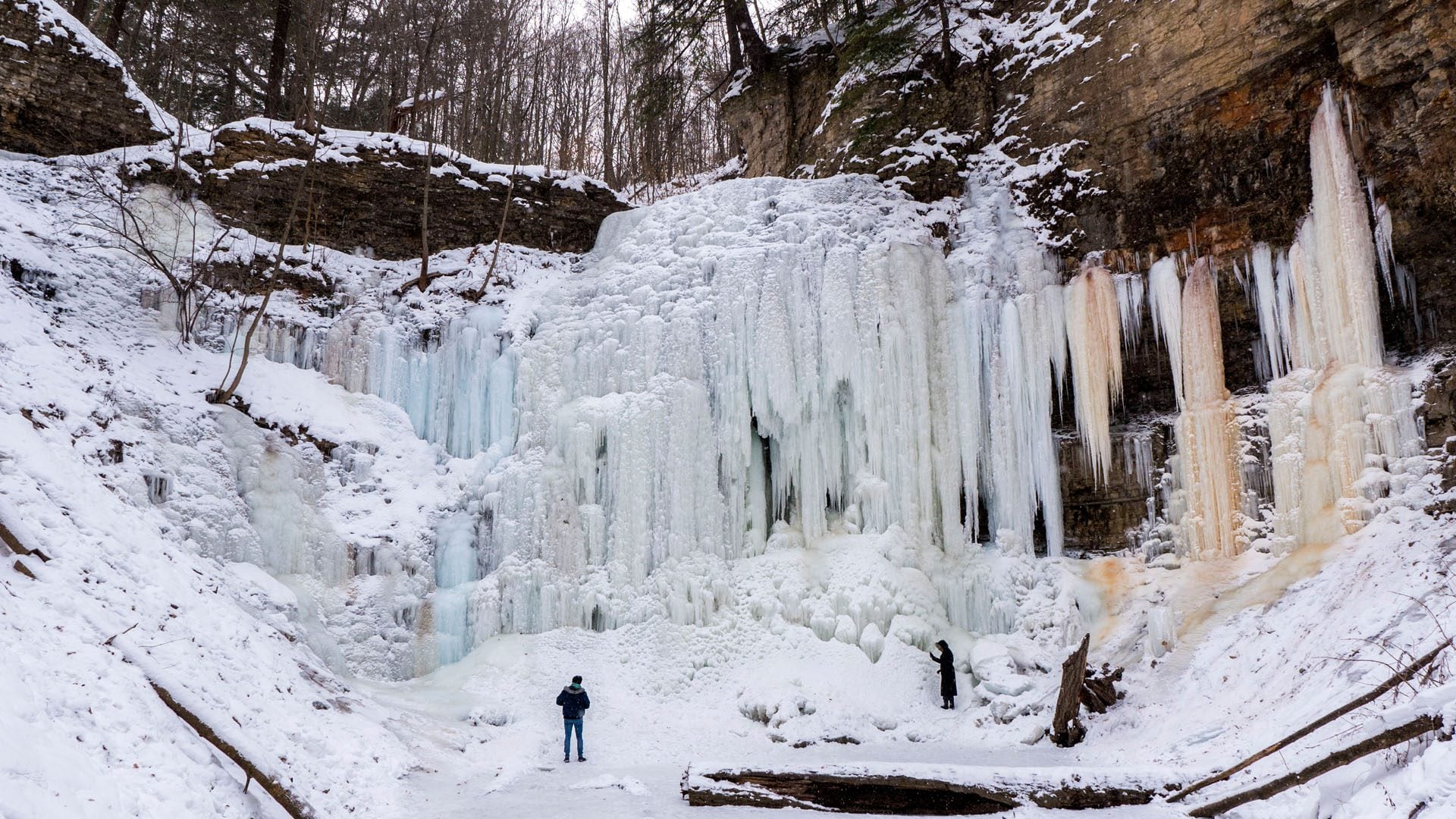
Beginning the Journey - Chedokee to Tiffany falls
https://hikes.brucetrail.org/event/beginning-the-journey/Sorry, the registration cut-off time for this hike has been reached.Not a member? Click here to join today!Hosting Club: Iroquoia
Category: General Hike
Location (Google Maps): Hillcrest LoopHike Leader(s): Muskan Sidana Click here to contact Hike Leader(s)
Pace: Medium – 3 to 4 km/hr
Terrain: Moderate – Some hills and/or some poor footing
Distance: 8 KmsDescription
Hillcrest Loop to Tiffany Falls (8 kms): We’ll follow the Chedokee Rail Trail (Bruce Trail Main Trail) then cross over the pedestrian bridge above HWY 403. Expect at least one steep, rocky climb as we make our way to Tiffany Falls.
To return to the city at the end of the hike, or where you parked your car: A 5-minute walk along Wilson Street will take you to the bus stop where you’ll take the (05) 5-A Greenhill /McMaster bus to the Main @ Dundurn, then a relatively short walk to your car. Bus fare: $2.85 if using your Presto Card; $3.75 if paying by cash. Have appropriate change.Please pack whatever food you will require for a hike including snacks; 1l of water minimum; first aid kit; poles if you use them; and icers; I.D. and your health card. You may also wish to pack extra socks and rain gear. Remember to dress in layers. Gloves/mitts, scarf / neck gator, a toque and a puffy jacket.
Email any questions to the Hike Leader – “Click here to contact Hike Leader” on this form.
If you cannot make it, please remove yourself from registration by following these steps:
To cancel your registration, here is a step by step:
– Sign into your account on the BTC website
– Click on My Hikes under your account
– This will take you to a list of hikes you have registered for
– Scroll down to the appropriate hike and cursor over to the far right hand column under the Action column.
– Click Cancel under the hike you wish to cancel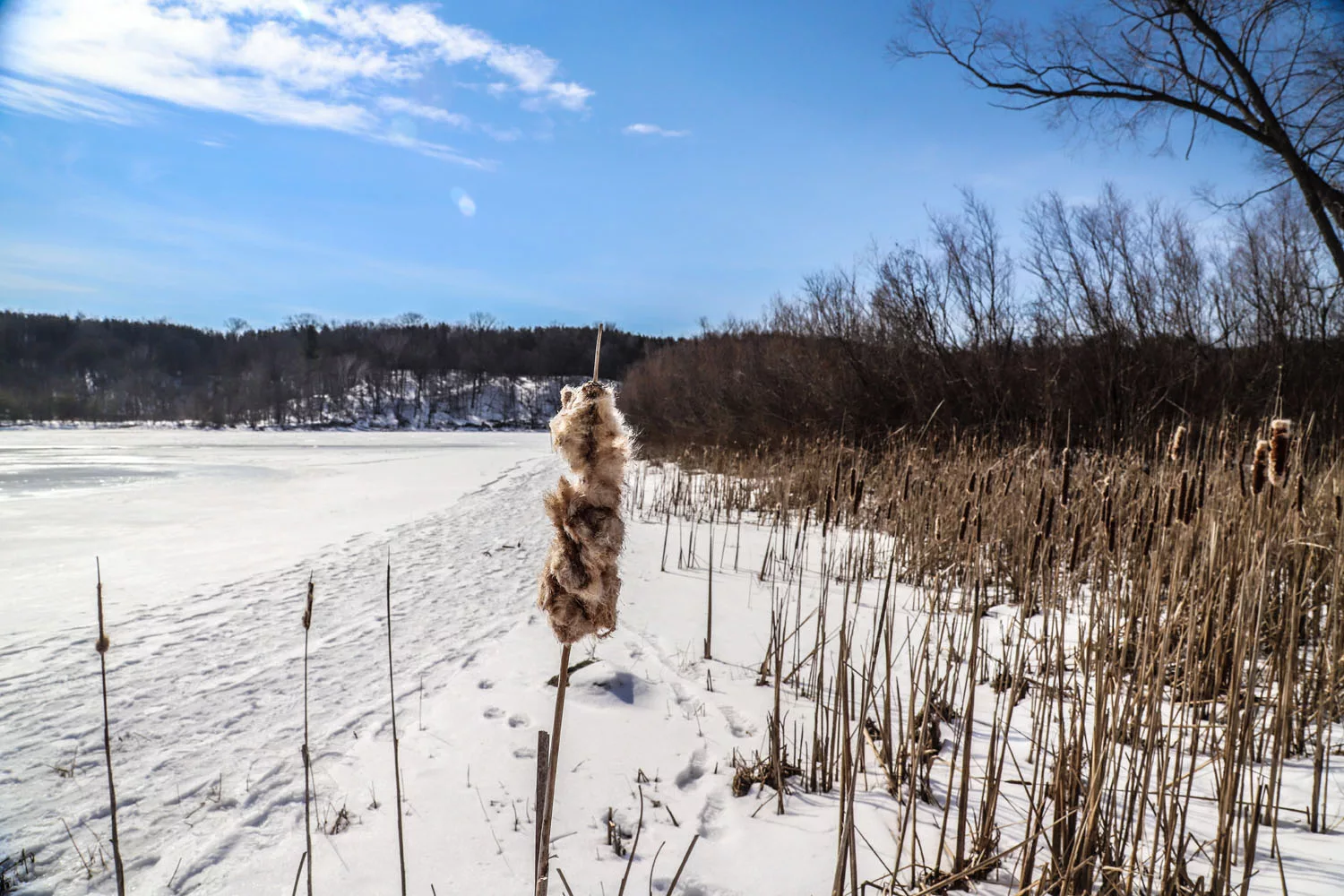
Four Seasons at Christie Lake Conservation (Dundas)
https://hikes.brucetrail.org/event/four-seasons-at-christie-lake-conservation-dundas/Sorry, the registration cut-off time for this hike has been reached.Not a member? Click here to join today!Hosting Club: Iroquoia
Category: General Hike
Location (Google Maps): Christie Lake Conservation (Dundas)
1000 Hwy 5 Dundas L9H 5E1Hike Leader(s): Dale Skvereckas Click here to contact Hike Leader(s)
Pace: Leisurely – 3km/hr or less, Medium – 3 to 4 km/hr
Terrain: Easy – Mostly flat and usually good footing, Moderate – Some hills and/or some poor footing
Distance: 7.0km – 7.5kmDescription
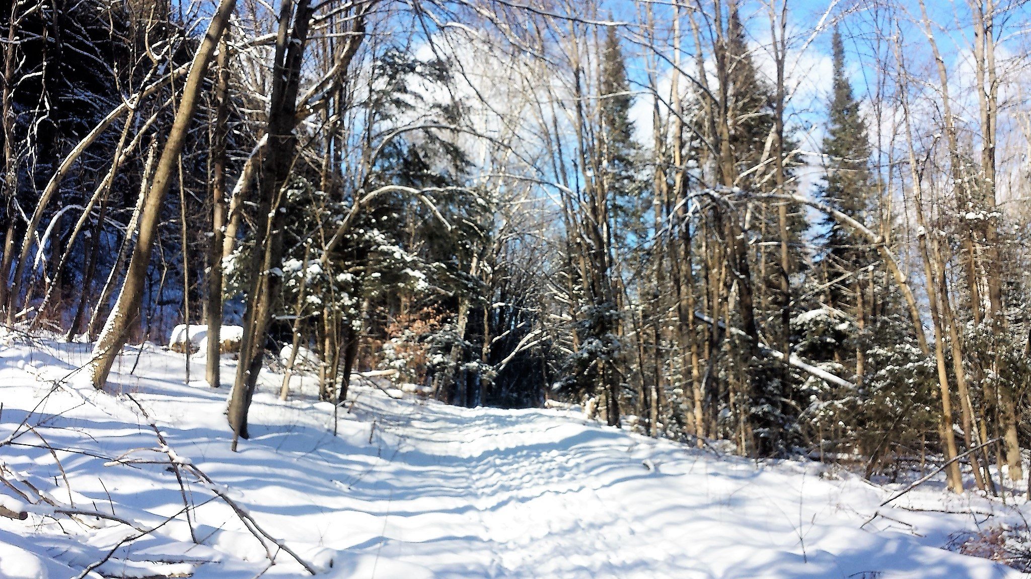
There is something magical hiking a trail in each of the four seasons. The scenery changes month to month, highlighting its beauty in many ways. Christie Lake is a great example of this. Join me in experiencing winter hiking at Christie Lake. Throughout the year, I will schedule the same hike for spring, summer, and fall. We will hike around the lake and enjoy Christie Lake in winter. Swimming will not be permitted on this hike. Don’t despair because we will have the opportunity to enjoy the beach area after the hike this summer. Please wear proper footwear and dress for the weather. Bring icers, and if you use hiking poles bring them. It is as important to stay hydrated during winter hiking as it is in the summer. Have water, a snack and a first aid kit. Bring along a cheerful attitude and a smile as they weigh nothing, and do not need room in your backpack. No dogs please.We will meet in the ‘bike track’ parking lot at 9:15 a.m. for a 9:30 start. Free entry if you have a Hamilton Conservation pass, otherwise entry fee required. You can purchase a ticket in advance. Carpooling is encouraged. I will provide my contact information to registrants.
Mono Cliff Provincial Park in Winter
https://hikes.brucetrail.org/event/mono-cliff-provincial-park-in-winter/Sorry, the registration cut-off time for this hike has been reached.Not a member? Click here to join today!Hosting Club: Iroquoia, Dufferin Hi-Land
Category: Good Companions
Location (Google Maps): Mono Centre at Mono Cliff Provincial Park – Parking at Community Centre (free)Hike Leader(s): Corina Seceleanu Click here to contact Hike Leader(s)
Pace: Medium – 3 to 4 km/hr
Terrain: Moderate – Some hills and/or some poor footing
Distance: 13-15 kmDescription
Hello Everyone – this is a Winter hike throughout the beautiful Mono Cliffs Provincial Park, starting from Mono Cliff Community Centre. Hike will be on main BTC trail and side trails, following white and blue blazes and park trails. We hike in loops starting on South of the Souther Outlier Loop Trail, intersecting and following Main Trail, Walter Tovell, Look Out, McCarston’s Lake and Laidlaw and back to the parking lot.
Moreover, we will pay a visit the famous sheer cliff of the “Mono” to admire its beauty formation and vista and will continue on the Cliff Top Trail afterwards.
This is a Moderate hike – with hilly sections, rocky in some parts and steep climbing sometimes, in winter covered by snow. Icers recommended.
Please be prepared and bring with you the basics:
Hiking boots, poles, a lunch / snacks and a minimum 2L of liquid (water and eventually tea), and dress in layers and definitely your enthusiasm
The hike is around 5 hours with short breaks and a lunch. We will hike at pace 3-3.5 km/h.
Hike would be cancelled and postpone if inclement weather on the day of hike.
If any questions or concerns, please contact the Hike leader through this form.
Happy Trails, everyone!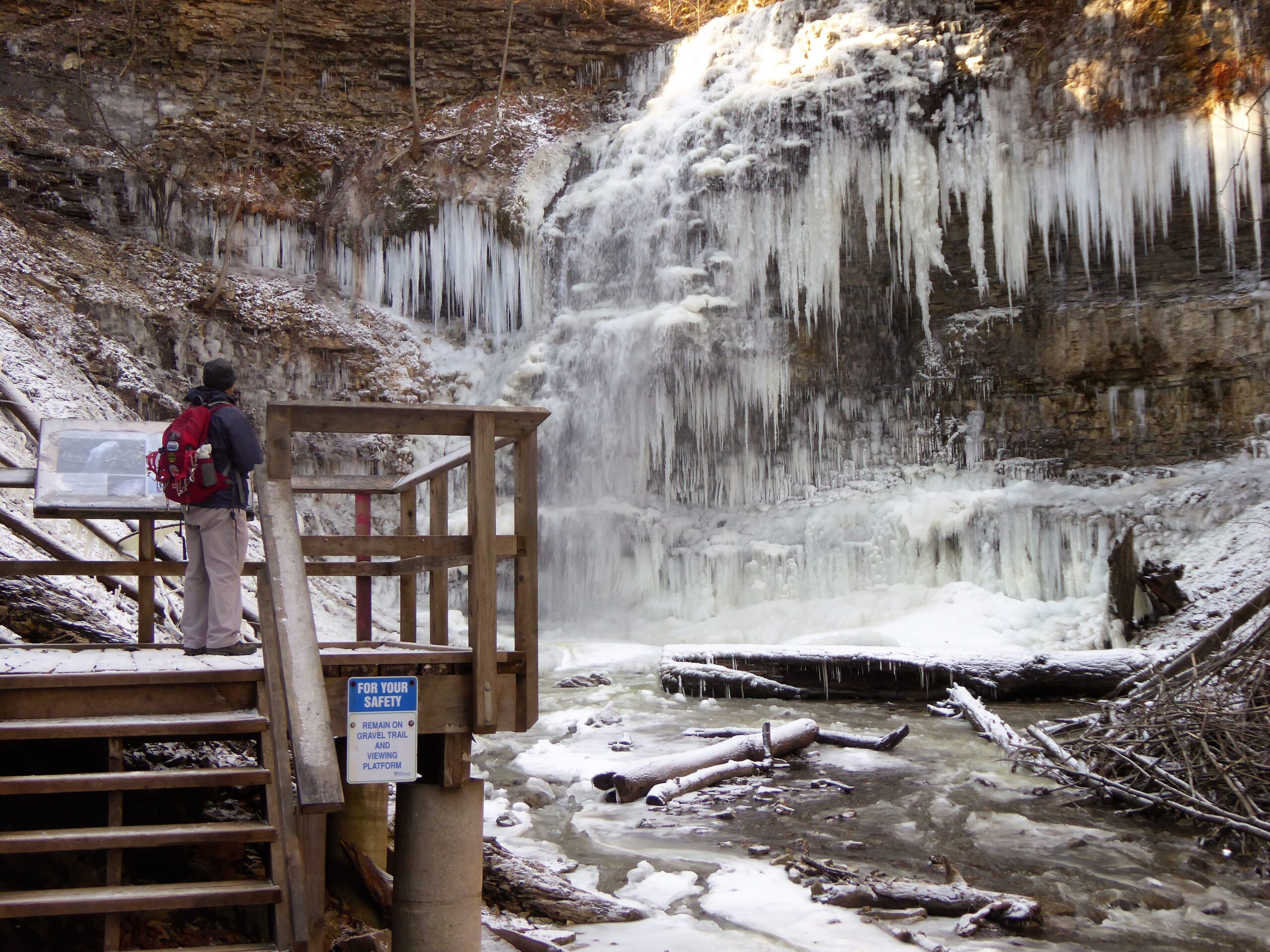
Dundas Valley Winter Hike
https://hikes.brucetrail.org/event/dundas-valley-winter-hike-5/Sorry, the registration cut-off time for this hike has been reached.Not a member? Click here to join today!Hosting Club: Dufferin Hi-Land
Category: General Hike
Location (Google Maps): Please note the meeting point location- it’s at the Dundas Valley Conservation parking lot at the end of Lions Club Rd. Follow this road to the end, then enter the gates leading to the parking lot. Paid entrance by credit card at the gate. Please note that the Bruce Trail app if used will take you to a different Dundas Valley parking lot. Use Google to find Lions Club Road and proceed as instructed above. (and not Lower Lions Club Road).Hike Leader(s): Gilles Gagnon Click here to contact Hike Leader(s)
Pace: Medium
Terrain: Slippery and Steep Sections
Distance: 8.5 to 15 depending on conditions. Drop out options available at about 9 km markDescription
Circular hike within the Dundas Valley Conservation area taking in Canterbury, Sherman, and Tiffany Falls. Icers are required/ snowshoes (to be advised depending on conditions ). Optional pub stop afterwards.Saturday Shorts - Terra Cotta
https://hikes.brucetrail.org/event/saturday-shorts-terra-cotta-2/Sorry, the registration cut-off time for this hike has been reached.Not a member? Click here to join today!Hosting Club: Caledon Hills
Category: General
Location (Google Maps): At 9:45 am meet at the roadside parking on Winston Churchill Blvd., where the Terra Cotta Side Trail and Caledon Trailway crosses the road.
We will start the hike at 10:00 am.Hike Leader(s): Marilyn Ross Click here to contact Hike Leader(s)
Pace: Leisurely – 3 km/hour or less
Terrain: Moderate – some hills and/or some poor footing
Distance: 5 kmDescription
Looking to get out on a Saturday but not give up a whole day? Saturday Shorts, a hiking series will get you out in a small group on a short hike.This Saturday’s hike is at Terra Cotta Conservation Area. We will hike the Terra Cotta Side Trail and conservation area trail to make a lollipop route that is close to 5 km.
Hiking boots, icers and poles are highly recommended for this winter hike. Also water and a snack are recommended. There will be a short break.
No dogs please. Registrants can expect a reminder/update message one or two days before the hike.

Urban Walk – Toronto Urban Badge Hike – 3 of 7
https://hikes.brucetrail.org/event/urban-walk-toronto-urban-badge-hike-3-of-7-3/Sorry, the registration cut-off time for this hike has been reached.Not a member? Click here to join today!Hosting Club: Toronto
Category: Urban Walk
Location (Google Maps): Toronto Waterfront TrailHike Leader(s): Brian Rideout Click here to contact Hike Leader(s)
Pace: Moderate (3-4 km/hr)
Terrain: Flat
Distance (km): 10.4 kmDescription
Please join me at the south west corner of Lakeshore Blvd West and Ellis by 10 AM. We will hike east along the Waterfront Trail to the Distillery District (km 8.3 to km 71.4). Here is an online map with km markings of our route for all 7 hikes for the Toronto Urban Badge. https://onthegomap.com/s/c2c1hf3nPlease make sure you bring at least 2 liters of water, a lunch, and icers.