
The BTC office will be closed on Mon. Oct. 12 for the holiday. Thank you for your understanding.
Hike Schedule
Join us for a hike! Registration required.
All hikes available to BTC members. Some hikes are open to non-members.
See Refund Policy for Paid Hikes >
TIP: The calendar view displays up to 7 hikes on a day, but often there are more. Click “View more events” to see them all.
Niagara
Iroquoia
Toronto
Caledon Hills
Dufferin Hi-Land
Blue Mountains
Beaver Valley
Sydenham
Peninsula
All Clubs
Show Filters
Categories
Reset Filters
- 11January 11, 2026
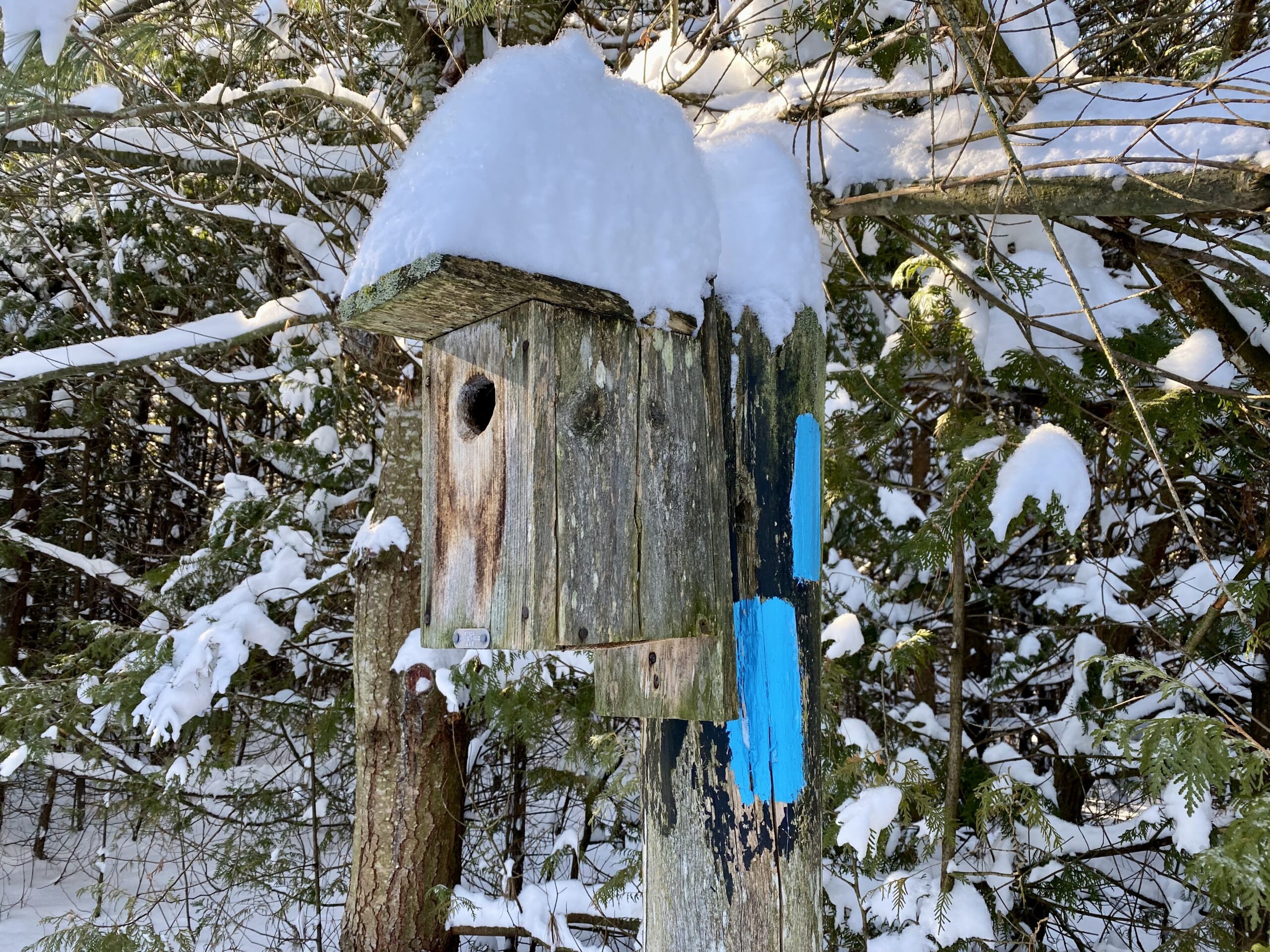
Frosty Five - Weekend Hike One
https://hikes.brucetrail.org/event/frosty-five-weekend-hike-one/Sorry, the registration cut-off time for this hike has been reached.Not a member? Click here to join today!Hosting Club: Caledon Hills
Category: General
Location (Google Maps): Meet at parking lot on east side of 3rd Line EHS provides access to Glen Cross Side Trail, 43.992646, -80.047917.
Directions: From ON-10 head east on Hockley Rd./Dufferin County Rd. 7 for 6.5 km. Turn left onto 3rd Line EHS and drive for 1.0 km. Parking is on the right.Hike Leader(s): Sandy Green Click here to contact Hike Leader(s)
Pace: Medium – 3 to 4 km/hour
Terrain: Strenuous – hilly with steep climbs and some poor footing
Distance: 12 kmDescription
Beat the winter blues! Register individually for one, a few, or all of the Frosty Five Blues hikes. Participants who complete all five hikes are eligible to receive a CHBTC Winter badge and a Sideways badge on the final hike. Hike One explores trails in the Hockley Valley Provincial Nature Reserve. Bring your choice of hydration and snacks. Hiking boots and icers/crampons are required. See Sundays, January 18, 25, February 1 and 8 for details about the other hikes in the series. (Note: If you wish to purchase badges, the cost of each badge is $10.00 for BTC members and $15.00 for non-members.) Everyone is welcome to join!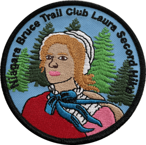
Laura Secord 2 of 2
https://hikes.brucetrail.org/event/laura-secord-2-of-2-2/Sorry, the registration cut-off time for this hike has been reached.Not a member? Click here to join today!Hosting Club: Niagara
Category: Car Pool
Location (Google Maps):Meet at DeCew House Heritage Park. Carpool to Woodend Conservation Area and hike back to DeCew House. Please be at the start 15 minutes before 9:00 (8:45) so that we can arrange the carpooling.
Upon completion, badges can be purchased. $10 for members, $15 for non-members.Hike Leader(s): Lynskie Click here to contact Hike Leader(s)
Pace: Fast
Terrain: Moderate
Distance: 15kmsDescription
This hike includes some road walking along Glendale Ave in St Catharines. We’ll walk along the old Welland Canal before walking over the bridge over the current Welland Canal. This is a winter hike so be prepared with icers and poles. We’ll stop for a quick lunch around noon. If you can only hike one of the 2 day hikes check the calendar for Feb. The hikes will be repeated but in reverse start order.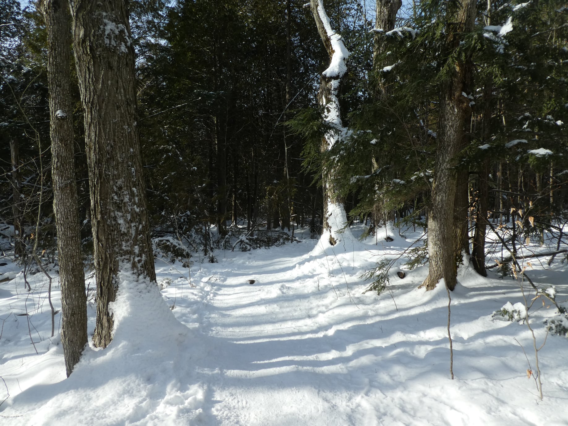
Scotsdale Farm Duff Pit loop
https://hikes.brucetrail.org/event/scotsdale-farm-duff-pit-loop-2/Sorry, the registration cut-off time for this hike has been reached.Not a member? Click here to join today!Hosting Club: Iroquoia
Category: General Hike
Location (Google Maps): Meet in the main parking lot at Scotsdale Farm.Hike Leader(s): Karen Bergmann Click here to contact Hike Leader(s)
Pace: Medium – 3 to 4 km/hr
Terrain: Moderate – Some hills and/or some poor footing
Distance: 9 kmsDescription
There are so many trails here that it’s hard to choose where to go. But this hike will take us down the main trail to the Side Trails of Duff Pit, Reservoir, Trafalgar Rd and Great Esker to the main trail and Maureen Bennett Side Trail and finishing on the Bennett Heritage Trail. Bring icers for your boots.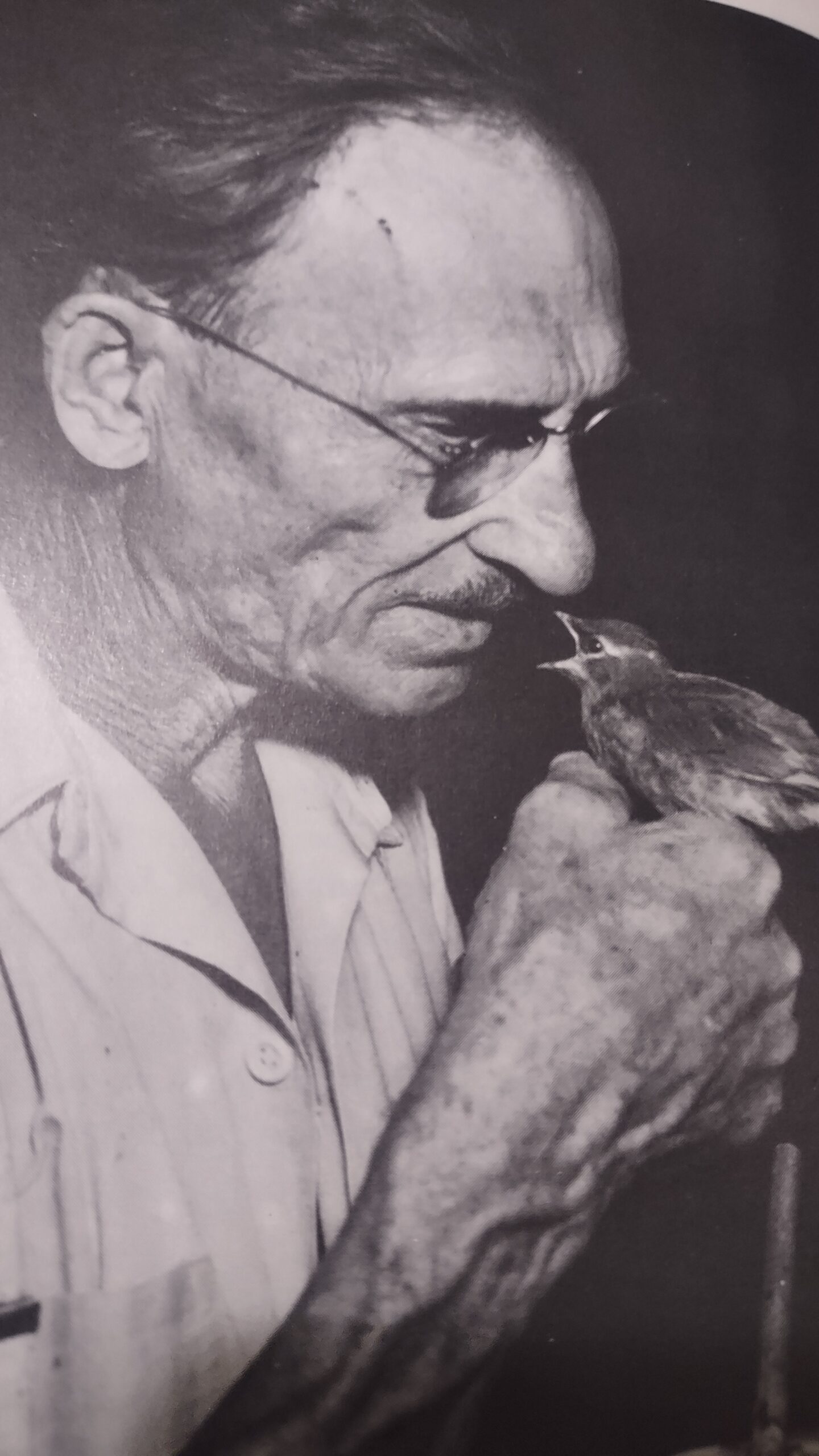
Remembering Roy Ivor, the Birdman of Erindale (1880-1979)
https://hikes.brucetrail.org/event/remembering-roy-ivor-the-birdman-of-erindale-1880-1979/Sorry, the registration cut-off time for this hike has been reached.Not a member? Click here to join today!Hosting Club: Toronto
Category: Urban Walk
Location (Google Maps): Meet me at Kipling Terminal, Platform 16 by 9:25 for a 9:32 am departure on MiWay Bus #1. Going directly to the start of hike, arrive at Erindale Park by 10:35. We will be meeting in front of the washrooms.Hike Leader(s): Andrew Proczek Click here to contact Hike Leader(s)
Pace: Mixed (See Hike Description)
Terrain: Level 1 (Easy – mostly on flat, well maintained trails with hard-packed surface), Level 2 (Intermediate – some hills and uneven surfaces, rocks and roots underfoot)
Distance (km): 9.5 kmDescription
Join me as we visit the final resting place and site of the former Winding Lane Bird Sanctuary started in the late 1920s by world renowned ornithologist, Roy Ivor and carried on after his death by his assistant, Bernice Inman-Emery.
We will be hiking a clockwise loop on Sawmill Valley Trail, Folkway Park trail, Mullet Creek trail and UTM trails south along the Credit River to our starting point at Erindale Park.
I have made a slight adjustment to our route due to snow accumulation and icy conditions. We will not cross the Burnhamthorpe Bridge to access the Culham Trail but instead shorten the route to access the pristine UTM Woods and trails giving us beautiful views of the Credit River from the top of the valley.
We will be walking on varied surfaces and trails, some maintained and others not, also our speed and progress will vary depending on the degree of difficulty of sections of trail.
Please pack a lunch and your favorite hot beverage. Icers will likely be required. Pack them just in case.
The Route: https://onthegomap.com/s/e2clstqi
- 12January 12, 2026
Toronto Winter Blues - Hike 1
https://hikes.brucetrail.org/event/toronto-winter-blues-hike-1/Sorry, the registration cut-off time for this hike has been reached.Not a member? Click here to join today!Hike open to BTC Members only.
Hosting Club: Iroquoia, Toronto
Category: General Hike
Location (Google Maps): Hilton Falls Conservation Area – reservation requiredHike Leader(s): Pati Greenwood, Jeff Dowsett Click here to contact Hike Leader(s)
Pace: Medium – 3 to 4 km/hr
Terrain: Dependent on Conditions, Moderate – Some hills and/or some poor footing
Distance: 12 kmDescription
This is a series of 6 hikes to explore various side trails in the Toronto Section of the Bruce Trail. Hikers completing all six hikes will be eligible to obtain the Toronto Side Trail Badge. Each hike requires a separate registration. The hikes in this series will take place on January 12, 26, February 2, 9, 23, and March 2. Hikes will be dependent on weather / travel conditions. All hikes will be undertaken at a medium pace.This hike will take us through Hilton Falls Conservation Area; we will hike a section of the south end of the Hilton Falls Side Trail and the Philip Gosling Side Trail.
Dress in layers for the weather, wear appropriate hiking footwear, bring icers and hiking poles. Bring plenty of water or other hydration and a snack.
Please arrive at the meeting place in the main parking lot at Hilton Falls Conservation Area by 8:15 am. We will depart promptly at 8:30 am. A parking reservation will be required – go to https://www.conservationhalton.ca/ to make an-on-line reservation.
If your plans change and you are unable to join the hike, please cancel your reservation in the My Hikes Section of the BTC website.
Laura Second in 2 hikes, #1
https://hikes.brucetrail.org/event/laura-second-in-2-hikes-1/Sorry, the registration cut-off time for this hike has been reached.Not a member? Click here to join today!Hosting Club: Niagara
Category: Car Pool
Location (Google Maps): Meet at Woodend Conservation Area, Taylor Rd, NOTL. Carpool to Laura Second Homestead, QueenstonHike Leader(s): Margaret Northfield Click here to contact Hike Leader(s)
Pace: Medium
Terrain: Moderate
Distance: 17 kmDescription
Earn the Laura Second badge by completing 2 hikes. Bring water and a snack. Poles, icers and gaiters recommended. Wear weather appropriate layers of clothes. - 13January 13, 2026
Urban Walk: Valley View Park Thornhill
https://hikes.brucetrail.org/event/urban-walk-valley-view-park-thornhill-133/Sorry, the registration cut-off time for this hike has been reached.Not a member? Click here to join today!Hosting Club: Toronto
Location (Google Maps): Parking lot is off Sycamore Drive, East of Bayview , across Starbucks plaza
Bus #91 from Finch Regional Bus Terminal stops at Sycamore station.Hike Leader(s): Mohammad Aghamiri Click here to contact Hike Leader(s)
Pace: Moderate (3-4 km/hr)
Terrain: Hilly, Level 2 (Intermediate – some hills and uneven surfaces, rocks and roots underfoot), Variable
Distance (km): 6-7 kmDescription
We will explore Valleyview and Maple View parks, and walk along German Mill Creak, in return we stop in Huntington park and have snack under beautiful shed.Although this is considered an “Urban Walk”, you can expect some hills up and down and uneven surfaces with tree roots. Please bring hiking poles, Ice cleats water and snacks.
phone number for the day of hike 289 588 6482
9:00 Long Hike Wiley Road Short Hills NEW TIME
https://hikes.brucetrail.org/event/900-long-hike-wiley-road-short-hills-new-time-13/Sorry, the registration cut-off time for this hike has been reached.Not a member? Click here to join today!Hosting Club: Niagara
Category: Loop
Location (Google Maps):Short Hills Wiley Road Entrance
Hike Leader(s): Lynskie Click here to contact Hike Leader(s)
Pace: Brisk
Terrain: Moderate
Distance: 10kmDescription
Explore Short Hills and the majestic side trails of Scarlett Tanager, Hemlock. Swayze Falls and Terrace. Register for each hikeBring Poles, snack, and dress for the weather
9:15 Short hike, Pelham Road entrance, Short Hills
https://hikes.brucetrail.org/event/915-short-hike-pelham-road-entrance-short-hills-7/Sorry, the registration cut-off time for this hike has been reached.Not a member? Click here to join today!Hosting Club: Niagara
Category: Loop
Location (Google Maps): Pelham Road entrance, Short Hills Provincial ParkHike Leader(s): janet davey Click here to contact Hike Leader(s)
Pace: Medium
Terrain: ModerateDescription
Hike the main and side trails of Short Hills Provincial Park. Please note that there are some steep hills and rocky sections so you should have some hiking experience before joining this hike. Please bring water, hiking poles and icers, as the trails can be icy at times.Boyne Valley Provincial Park Loop Hike
https://hikes.brucetrail.org/event/boyne-valley-provincial-park-loop-hike/Sorry, the registration cut-off time for this hike has been reached.Not a member? Click here to join today!Hosting Club: Caledon Hills
Category: Tuesday Hikers
Location (Google Maps): Dufferin Hi-Land – Boyne Valley Provincial Park – Map 20 of the Bruce Trail Reference Guide. County Road 19 ( Prince of Wales Road) Parking Area – west of km 15.2 – This parking area is found 80 m south of the of the Prince of Wales Side Trail (10 cars)Hike Leader(s): Doris Harper Click here to contact Hike Leader(s)
Pace: Medium – 3 to 4 km/hour
Terrain: Moderate – some hills and/or some poor footing
Distance: 10 kmDescription
Meet for a 9:30 AM start. We will hike the Primrose Loop Side Trail and then cross the road and ‘loop hike the Boyne Valley Side Trail and the main trail 0f the Boyne Valley Provincial Park. There are some hilly areas , so icers are recommended depending on trail conditions. Snow shoes are optional. Poles recommendedBring water and snacks. The length of hike 2 – 3 hours
Black Bank Challenge
https://hikes.brucetrail.org/event/black-bank-challenge-2/Sorry, the registration cut-off time for this hike has been reached.Not a member? Click here to join today!Hosting Club: Dufferin Hi-Land
Category: Tuesday Hike
Location (Google Maps):Dufferin Hi-Land Section, Map 21. Meet at roadside parking on the east side of Centre Road about 1 Km south of Dufferin Rd 21.
Hike Leader(s): Tony Evangelista, Les Babbage, Inge Eckerich, Julie Daley Click here to contact Hike Leader(s)
Pace: Leisurely
Terrain: Slippery and Steep Sections
Distance: 4.4 km; Short hike 3.0 kmDescription
We will hike down Black Bank hill and continue on the Main Trail to Dufferin Rd 21 and back. Black Bank hill usually has a very large snow drift at the top of the hill at this time of year. Snowshoes may be essential. Icers could be required depending on conditions. Bring water and snacks.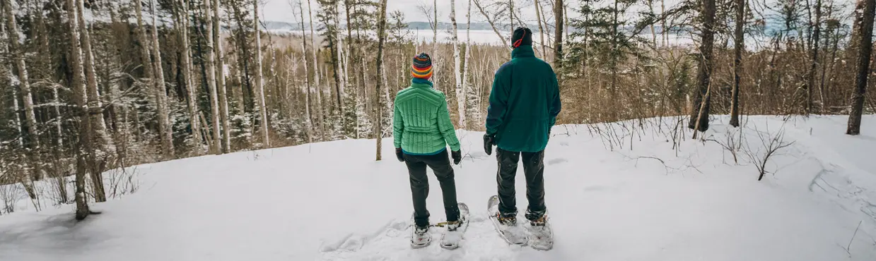
Snowshoe Loop of Skinner's Bluff and Chris Walker Side Trail
https://hikes.brucetrail.org/event/snowshoe-loop-of-skinners-bluff-and-chris-walker-side-trail/Sorry, the registration cut-off time for this hike has been reached.Not a member? Click here to join today!Hosting Club: Sydenham
Category: Snowshoe Hike
Location (Google Maps): Snowplow turnaround on Colpoy’s Range Rd. Colpoy’s Range Rd (heading towards Skinner’s Bluff) is not cleared beyond this point.Hike Leader(s): Susan Allen Click here to contact Hike Leader(s)
Pace: Leisurely: 3 km/h or less
Terrain: Moderate: Some hills and/or poor footing
Distance: approximately 4 kmDescription
We will snow shoe in from the road on a snowmobile trail until we join the BT Main Trail at the escarpment edge. Following the Main Trail east we arrive at the Skinner’s Bluff lookout. There will be occasional views over Colpoy’s Bay. Turing inland, the Chris Walker Side Trail will loop us back, now heading west, to the junction with the snowmobile trail. Here we exit out to the vehicles. - 14January 14, 2026
8:30 Niagara Winter End to End #2 Kinsmen Park to Glen Road
https://hikes.brucetrail.org/event/830-niagara-winter-end-to-end-2-kinsmen-park-to-glen-road-2/Sorry, the registration cut-off time for this hike has been reached.Not a member? Click here to join today!Hosting Club: Niagara
Category: Car Pool
Location (Google Maps): Meet at Parking Area Glen Road Carpool to Kinsmen Park Frost Rd Beamsville.Hike Leader(s): Sam Rutherford Click here to contact Hike Leader(s)
Pace: Medium
Terrain: Moderate
Distance: 13.2 kmsDescription
We will be car pooling, Bring Icers and poles. No dogs. To earn your Niagara Winter End to End badge, it must be completed between December 21, 2025 to March 21, 2026.
Because of the potential for bad winter trail conditions we have broken this e2e into 6 hikes rather than 5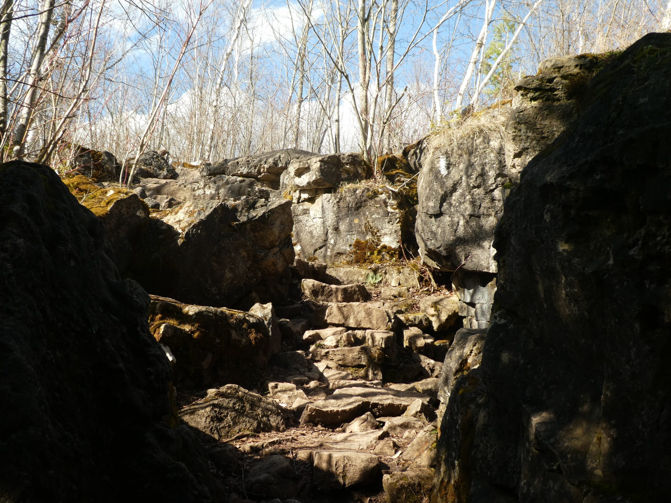
Silver Creek
https://hikes.brucetrail.org/event/silver-creek-2/Sorry, the registration cut-off time for this hike has been reached.Not a member? Click here to join today!Hosting Club: Iroquoia
Category: General Hike
Location (Google Maps): Meet roadside on Fallbrook Trail at 9:15 amHike Leader(s): Karen Bergmann Click here to contact Hike Leader(s)
Pace: Medium – 3 to 4 km/hr
Terrain: Moderate – Some hills and/or some poor footing
Distance: 7 kmsDescription
Meeting roadside on Fallbrook Trail at Silver Creek Conservation Area, we will hike the Roberts Side Trail to the main trail almost to Tenth Line. Turning back along the main trail to the cars. This hike has some rocky spots and a few hilly bits. Come with icers for your boots. Hike is dependent on weather conditions.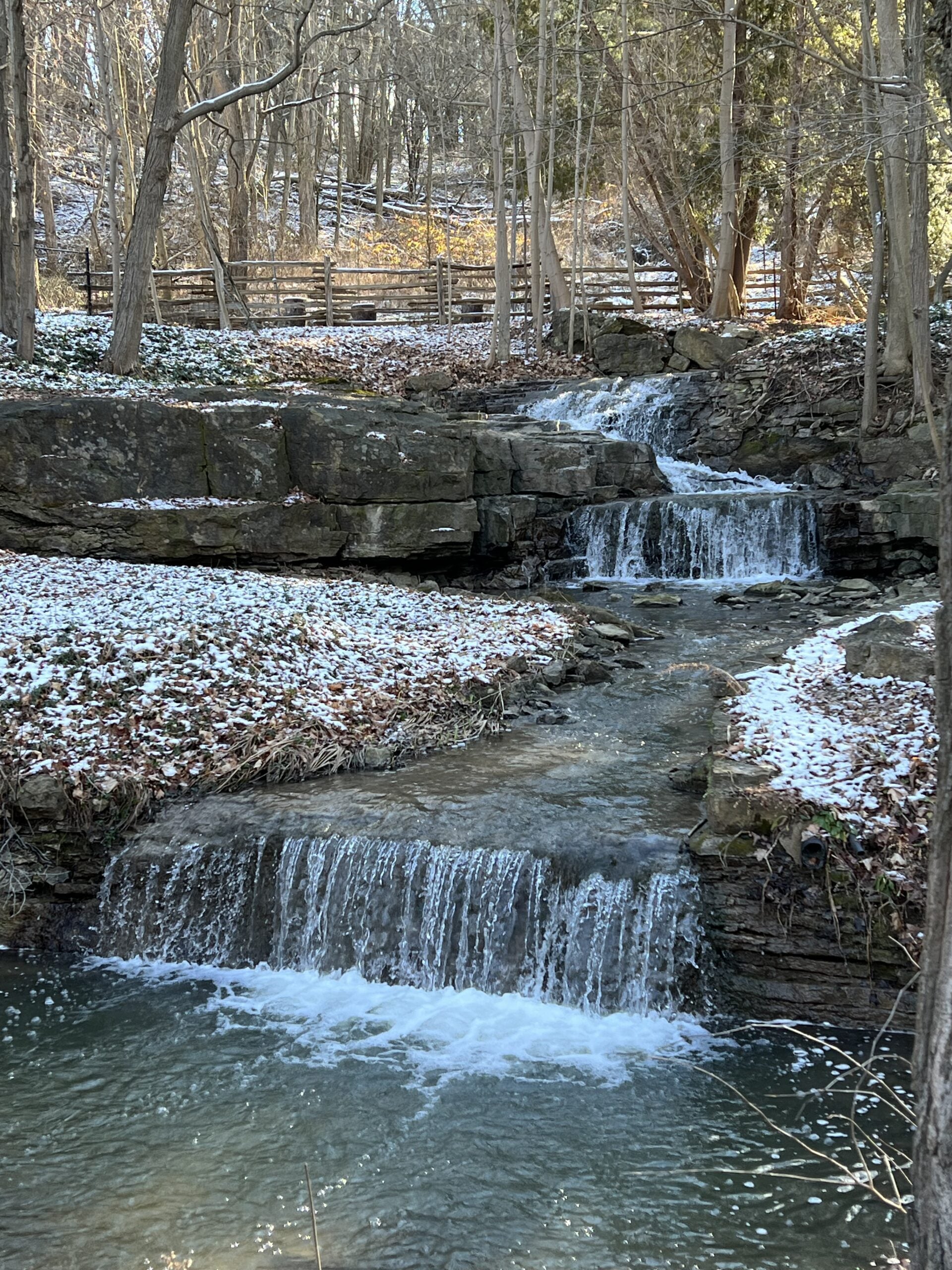
Dundas Valley Circuit
https://hikes.brucetrail.org/event/dundas-valley-circuit-2/Sorry, the registration cut-off time for this hike has been reached.Not a member? Click here to join today!Hosting Club: Iroquoia
Category: Good Companions
Location (Google Maps): Western Dundas Vally/Spring ValleyHike Leader(s): Anne Armstrong Click here to contact Hike Leader(s)
Pace: Leisurely – 3km/hr or less
Terrain: Easy – Mostly flat and usually good footing, Moderate – Some hills and/or some poor footing
Distance: Approx. 8.5 km.Description
Join in this lovely hike through the western end of Dundas Valley using the Spring Valley Trail. Headwaters Trail and Martin Road plus a few others. Mostly flat, easy terrain with a few moderate hills. We will pass a delightful series of cascades along some of the waterways. Meet in the parking lot of the Little League Baseball fields, across from the swimming pool. Bring water, a snack, sunscreen and icers. Poles may be useful. I will send out an email the day before with my cell phone number in the event that you need to cancel the night before or in the morning.Winter Wednesday Walkers - Kolapore West
https://hikes.brucetrail.org/event/winter-wednesday-walkers-kolapore-west-3/Sorry, the registration cut-off time for this hike has been reached.Not a member? Click here to join today!Hosting Club: Beaver Valley
Location (Google Maps): Meet in the Kolapore parking lot on Grey Road 2, about 650 m south of where the trail crosses at km 23.8, Map 25, Edition 31
Hike Leader(s): Glenda Collings Click here to contact the hike leader.
Pace: Medium
Terrain: Moderate
Length of Hike: Approx. 6km returnDescription
This will be an in and out hike from the Kolapore parking lot. We pass along a field, through cedar and beautiful hardwood forest, encountering signs of old stone borders. On winter hikes we may encounter bare ground, light snow, deep snow, or ice. Please bring snowshoes and icers to our Winter Wednesday Walkers outings. Wear appropriate clothing for the weather plus water and a snack.COVID-19 Precautions Before, During and After your Hike
- Each hiker joining a Bruce Trail Club organized hike must perform a self-screening check before hiking.
Find Ontario’s self-assessment tool here: https://covid-19.ontario.ca/self-assessment/ - If you are experiencing COVID-19 symptoms, stay home.
Other Guidelines
- Arrive 15 minutes before the start of the hike.
- Wear sturdy footwear and appropriate attire for the weather and the terrain.
Hiking poles are a good idea in any season, especially if the terrain is rocky or slippery. In winter, snowshoes or icers/crampons are needed when conditions dictate.
Wearing appropriate clothing and footwear prevents injuries and shows consideration for a safe and positive group hiking experience. - Always carry I.D. and your health card.
- Bring sufficient water and snacks (or lunch if indicated). A minimum of 1L of water is recommended on all hikes, and 3L is recommended for long, challenging hikes in the heat of the summer.
- Bring sunscreen and insect repellent (for spring and summer hikes).
- Bring your own first aid kit.
- Please leave dogs at home.
- Each hiker joining a Bruce Trail Club organized hike must perform a self-screening check before hiking.
- 15January 15, 2026

Frosty Five Weekday - Hike Two
https://hikes.brucetrail.org/event/frosty-five-weekday-hike-two/Sorry, the registration cut-off time for this hike has been reached.Not a member? Click here to join today!Hosting Club: Caledon Hills
Category: General
Location (Google Maps): Meet at the BTC parking lot on the east side of 5th Line EHS, just south of Hockley Road. 43.993572, -80.014057.Directions: From ON-10 turn east onto Hockley Rd./Dufferin County Rd. 7. Drive for 9.4 kilometres. Turn south/right onto 5th Line E. Drive for 100 metres.
Hike Leader(s): Sandy Green Click here to contact Hike Leader(s)
Pace: Medium – 3 to 4 km/hour
Terrain: Strenuous – hilly with steep climbs and some poor footing
Distance: 9.5 kmDescription
CANCELLED DUE TO INCLEMENT WEATHERBeat the winter blues! Register individually for one, a few, or all of the Frosty Five Blues hikes. Participants who complete all five hikes are eligible to receive a CHBTC Winter badge and a Sideways badge on the final hike. Hike Two explores parts of the main Trail and Hemlock Ridge, Griffith Ravine and Glacier Valley Side Trails in the Hockley Valley south area.
Bring your choice of hydration and snacks. Hiking boots and icers/crampons are required. See Thursdays, 22, 29, & February 5 for details about the other hikes in the series. (Note: If you wish to purchase badges, the cost of each badge is $10.00 for BTC members and $15.00 for non-members.) Everyone is welcome to join!
Urban Walk: Valley View Park Thornhill
https://hikes.brucetrail.org/event/urban-walk-valley-view-park-thornhill-134/Sorry, the registration cut-off time for this hike has been reached.Not a member? Click here to join today!Hosting Club: Toronto
Location (Google Maps): Parking lot is off Sycamore Drive, East of Bayview , across Starbucks plaza
Bus 91 from Finch Regional Bus Terminal stops at Sycamore Drive.Hike Leader(s): Mohammad Aghamiri Click here to contact Hike Leader(s)
Pace: Moderate (3-4 km/hr)
Terrain: Hilly, Level 2 (Intermediate – some hills and uneven surfaces, rocks and roots underfoot), Variable
Distance (km): 6-7 kmDescription
We will explore Valleyview and Maple View parks, and walk along German Mill Creak, in return we stop in Huntington park and have snack under beautiful shed.Although this is considered an “Urban Walk”, you can expect some hills up and down and uneven surfaces with tree roots. Please bring hiking poles, Ice cleats water and snacks.
phone number for the day of hike 289 588 6482
9:00 am Long hike NEW Location. Bailey bridge Jordan
https://hikes.brucetrail.org/event/900-am-long-hike-new-location-bailey-bridge-jordan-5/Sorry, the registration cut-off time for this hike has been reached.Not a member? Click here to join today!Hosting Club: Niagara
Location (Google Maps):
Bailey bridge Jordan
Pace: Brisk
Terrain: Strenuous
: 10kDescription
This will be our permanent location . Hike up from the Bailey bridge to Balls Falls and explore the trailsYou must register for each hike. Bring Poles, snack and a drink. Dress for the weather
Hiking around Jordan
https://hikes.brucetrail.org/event/hiking-around-jordan-42/Sorry, the registration cut-off time for this hike has been reached.Not a member? Click here to join today!Hosting Club: Niagara
Location (Google Maps): Glen Road Parking Lot
3640 Glen Road, Jordan LOR 1SOHike Leader(s): Bill Russell Click here to contact Hike Leader(s)
Pace: Medium
Terrain: Moderate
Distance: 7 kmDescription
Hiking in and around Jordan including Jim Rainforth Trail, Bailey Bridge and Balls Falls (alternating every 3 weeks). - 16January 16, 2026
Dundas Valley Circuit
https://hikes.brucetrail.org/event/dundas-valley-circuit-3/Sorry, the registration cut-off time for this hike has been reached.Not a member? Click here to join today!Hosting Club: Iroquoia
Category: General Hike
Location (Google Maps): Dundas Valley Conservation Area – Main Parking LotHike Leader(s): Pati Greenwood, Jeff Dowsett Click here to contact Hike Leader(s)
Pace: Medium – 3 to 4 km/hr
Terrain: Dependent on Conditions, Moderate – Some hills and/or some poor footing, Slippery Sections Likely
Distance: 10 kmDescription
This hike will take us through the Dundas Valley Conservation Area on the main Bruce Trail, Conservation trails and BT side trails. Bring water and snacks. Wear layers for winter weather, bring icers and hiking poles.Park in the main Parking lot located at 650 Governor’s Road. Parking fees will be required. See the Hamilton Conservation Authority for more information: https://conservationhamilton.ca/admissions-fees/
Please arrive at 8:15 am as we will leave promptly at 8:30 am.
9:00 am Niagara-on-the-Lake Tour
https://hikes.brucetrail.org/event/900-am-niagara-on-the-lake-tour-53/Sorry, the registration cut-off time for this hike has been reached.Not a member? Click here to join today!Hosting Club: Niagara
Category: Urban
Location (Google Maps):Veterans Memorial Park, park just outside the park on King Street
Hike Leader(s): Robin Garrett Click here to contact Hike Leader(s)
Pace: Medium
Terrain: Easy
Distance: 6-7 kmDescription
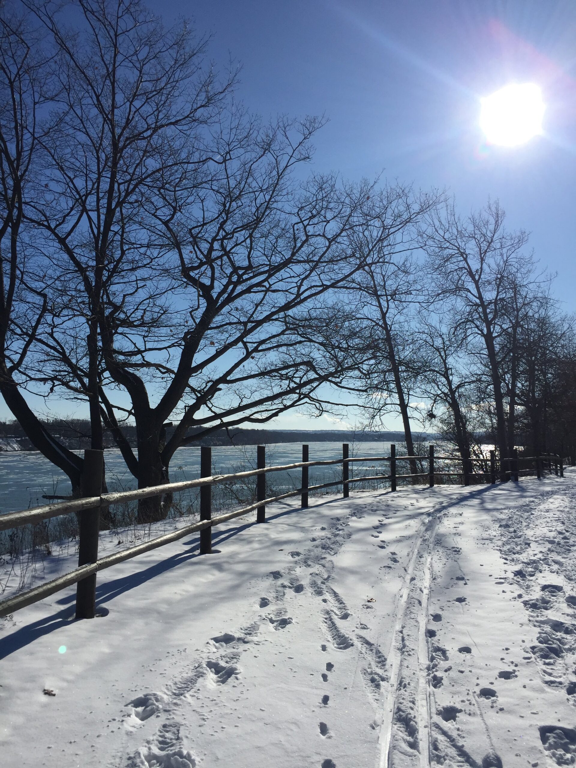
Each Friday we will explore different neighbourhoods, trails and parkland throughout Historic Niagara-on-the-Lake.Moderate pace with some weeks entirely on sidewalks and roads while others may include a mix of trails and paved pathways. Great way to build up endurance for longer more strenuous hikes.
Prepare for cooler windy conditions on open parkland and along Lake Ontario and Niagara River trails.
Plan to stay for conversation and a warm cup of coffee or tea at Sweets & Swirls, Community Centre, Niagara Stone Road, NOTL
Celebrate Winter Series - Lindsay Tract
https://hikes.brucetrail.org/event/celebrate-winter-series-lindsay-tract/Sorry, the registration cut-off time for this hike has been reached.Not a member? Click here to join today!Hosting Club: Peninsula
Category: Winter Hikes
Location (Google Maps): Lindsay Tract – 4025 Highway 6, Lion’s HeadHike Leader(s): Owen and Marg Glendon Click here to contact Hike Leader(s)
Pace: Leisurely (2.0 – 3.0 km/h): A relaxed pace with frequent breaks and a focus on enjoyment.
Terrain: Easy: Flat forested sections or lowland trails.
Distance: ~5 kmDescription
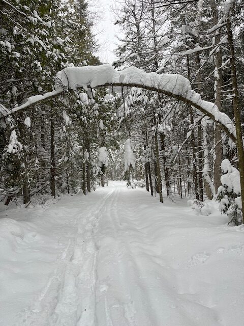
Meet-up at Lindsay Tract Parking Lot. Strap on your snowshoes and get ready to explore a winter wonderland! We’ll hike about 5 km through the beautiful Lindsay Tract—Bruce County’s largest forest – over 8,000 acres. Our route will follow the Lindsay Tract Trail system, and we may even have the fun challenge of breaking trail through fresh snow. We’ll stop at the warming hut for a break, so bring your thermos with a hot drink, water and snack. Hiking poles and gaiters can make the trek easier, but they’re completely optional. Good balance and endurance are required. We have a special treat – Chris Sanderson, Bruce County Environmental Services Supervisor, will join us at lunch to tell us more about the Lindsay Tract Forest and its trail system. Plan on 3 hours (including stop at warming hut).No snowshoes? You can borrow a pair from your local Bruce County Library, or let us know—we may have a pair available for you.
There is much to explore at Lindsay Tract. If you wish to extend your day, bring your lunch and explore the other forest trails here, after our hike.
Free parking. Portapottie on site.
Celebrate Winter Series - Forest Walk at Lindsay Tract
https://hikes.brucetrail.org/event/celebrate-winter-series-forest-walk-at-lindsay-tract/Sorry, the registration cut-off time for this hike has been reached.Not a member? Click here to join today!Hosting Club: Peninsula
Category: Winter Hikes
Location (Google Maps): Lindsay Tract – 4025 Highway 6, Lion’s HeadHike Leader(s): Marg and Owen Glendon Click here to contact Hike Leader(s)
Pace: Leisurely (2.0 – 3.0 km/h): A relaxed pace with frequent breaks and a focus on enjoyment.
Terrain: Easy: Flat forested sections or lowland trails., Moderate: Rolling hills, mild slopes and rocky paths.
Distance: 1 1/2 – 3 kmDescription
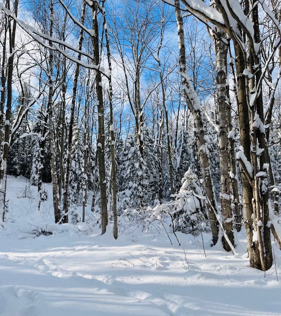
Meet-up at Lindsay Tract Parking Lot. This hiking pace will be slow but steady – keeping us warm, and also providing an opportunity to notice the forest beauty and socialize with one another. Our forest walk will take us through the beautiful Lindsay Tract—Bruce County’s largest forest. Our route will follow the Lindsay Tract Trail system. The distance of the hike will be determined by the weather conditions, snow depth and stamina of the hike participants. Duration of the hike will be about 1 – 1 1/2 hours. If icy trail conditions exist, the hike will be rescheduled and registrants notified in the morning. Hiking poles are required. Bring a light day pack to carry water and snacks. Snowshoes may be required.No snowshoes? You can borrow a pair from your local Bruce County Library, or let us know—we may have a pair available for you.
- 17January 17, 2026
School Bus Hike Toronto Section Winter Badge End to End #2 of 6
https://hikes.brucetrail.org/event/school-bus-hike-toronto-section-winter-badge-end-to-end-2-of-6/Sorry, the registration cut-off time for this hike has been reached.Not a member? Click here to join today!Trip Information
Departure Time: 08:30
Return to City Time: 18:00
Departure Point: York Mills Bus PickupOptional Items
Hosting Club: Toronto
Category: Bus Hike
Location (Google Maps): Toronto Section, Scotch Block/Speyside Resource Management AreaHike Leader(s): George Lennon; Fayyaz Mahmood Click here to contact Hike Leader(s)
Pace: Leisurely (2-3 km/hr)
Terrain: Challenging, Level 2 (Intermediate – some hills and uneven surfaces, rocks and roots underfoot), Variable
Distance (km): 8.3 kmDescription
We will be hiking in winter conditions of ice and snow so these will be slower and shorter hikes than in other seasons. Icers or snowshoes are mandatory, and gaiters and poles recommended. The terrain is not too hilly, but the footing is treacherous in winter with many uneven, rocky sections to navigate. The leaders will let registrants know in advance if snowshoes are feasible for the day. Please bring at least 2L of water, snacks, and your lunch. Any hikers are welcome to join the hikes regardless of whether a person is working towards a badge. Those who complete all 6 hikes will qualify for the Toronto club’s Winter E2E badge. The fee is $10 per badge ($15 for non-members) and will be collected by the hike leader on trip #4. Or you may choose to purchase the special stained glass Fundraising End to End badge for $30.The second hike of our E2E series goes from Scotch Block though the Speyside Resource Management Area to the Fourth Line Parking Lot There will be a refreshment/social stop in Milton after the hike before returning to the York Mills Station departure point by 6:00 PM.
Car Hike: Caledon Hills E2E #5 of 6
https://hikes.brucetrail.org/event/car-hike-caledon-hills-btc-e2e-5-of-6/Sorry, the registration cut-off time for this hike has been reached.Not a member? Click here to join today!Hosting Club: Toronto, Caledon Hills
Category: Car Hike
Location (Google Maps):Meet at GPS N43.972857, W80.056330 at Hockley Road parking lot on the north side of Hockley Road.
Hike Leader(s): Ross Estrella Click here to contact Hike Leader(s)
Pace: Brisk (4-5 km/hr), Moderate (3-4 km/hr)
Terrain: Challenging, Hilly, Level 2 (Intermediate – some hills and uneven surfaces, rocks and roots underfoot), Variable
Distance (km): 10kmDescription
This is an End2End hiking series to cover the Caledon Hills section of the Bruce Trail in 6 hikes. As it is time of year with unsettled weather we will undertake this event at approximately 4 km/hour. Caledon Hills have numerous steep hills and deep valleys so the hikes require consistent stamina. Please consider your hiking fitness level prior to registering as this is a group hike and everyone is expected to keep pace. We will be travelling south to north and will require car shuttling. Please make sure yourself and car shuttle ready, where everyone is expected to participate. Please arrive fifteen minutes early for shuttling schedule. Things to bring: lunch/snacks, liquid hydration, sunscreen, layered clothing, personal medication (if any) health card. Hiking boots, icers, gaiters and hiking poles are highly recommended. This series hikes must be completed to receive the CHBTC E2E and Winter E2E. Don’t forget to bring your happy face and enthusiasm.NOTE: Cost of Badge is 10 dollars for BTC members and 15 dollars for Non BTC members. If you want to receive two CHBTC E2E badges, the Club E2E and Winter E2E badge there’s an additional 10 dollars for BTC members and 15 dollars for Non BTC members.
Car Hike: Boyd Conservation Park Vaughan
https://hikes.brucetrail.org/event/car-hike-boyd-conservation-park-vaughan-11/Sorry, the registration cut-off time for this hike has been reached.Not a member? Click here to join today!Hosting Club: Toronto
Category: Car Hike
Location (Google Maps): parking lot before entrance of park on Islington Ave.Hike Leader(s): Mohammad Aghamiri Click here to contact Hike Leader(s)
Pace: Moderate (3-4 km/hr)
Terrain: Hilly, Level 2 (Intermediate – some hills and uneven surfaces, rocks and roots underfoot), Variable
Distance (km): 14-15 kmDescription
Let’s hike Boyd conservation park trails through beautiful valleys.Please bring lots of water and snacks ,hiking poles are recommended
Please bring lots of water and snacks ,hiking poles are recommended
phone number for the day of hike 289 588 6482
9:00 Cave Springs to Ball's Falls return
https://hikes.brucetrail.org/event/900-cave-springs-to-balls-falls-return/Sorry, the registration cut-off time for this hike has been reached.Not a member? Click here to join today!Hosting Club: Niagara
Category: In and Out
Location (Google Maps): Cave Springs Conservation Area parking lotHike Leader(s): Lauren Doig Click here to contact Hike Leader(s)
Pace: Brisk
Terrain: Strenuous
Distance: 18 kmDescription
Meet at Cave Springs Conservation Area parking lot. We will hike to Ball’s Falls and back to Cave Springs, taking mostly the main trail. Dress for the weather and conditions: icers, poles, layers. Bring water and snacks.
Hike Ontario - Certified Hike Leader Course - January 17, 2026 9-5pm - Please read all the details before signing up for this course.
https://hikes.brucetrail.org/event/hike-ontario-certified-hike-leader-course-january-17-2026-9-5pm-please-read-all-the-details-before-signing-up-for-this-course/Sorry, the registration cut-off time for this hike has been reached.Not a member? Click here to join today!Hosting Club: Iroquoia
Category: Special Event
Location (Google Maps): Entrance to the BTC parking lot, located at 55 Head St in Dundas, is off of Mill St.
Park behind the building.Hike Leader(s): Ruth Moffatt Click here to contact Hike Leader(s)
Distance: N/A
Description
Before signing up, please ensure you have all prerequisites as per Hike Ontario. https://hikeontario.com/takeacourse/trainingcourses/certified-hike-leader/
This one day course is to certify volunteers as Certified Hike Leaders for leading hikes on the Iroquoia Bruce Trail or any other part of the trail. You must be referred by the Iroquoia Hike Director or another volunteer of the Iroquoia Bruce Trail Club who is actively leading hikes. Since I’ve already been presented with a list, I will only confirm with those who are not already on it.
A Certified Hike Leader manual will be sent electronically ahead of time to all registered applicants. You will be required to participate in an all day course delivered in person. There will be about an hour outside. Typically you will have already participated in many group hikes on the Bruce Trail and are ready to lead your own hikes. The fee of $85 is payable on registration but is refundable on completion of leading at least 4 hikes by the end of 2026 within the Iroquoia Club or at least tagging Iroquoia Club on your hike set up.This course is intended for individuals who wish to volunteer their time leading hikes and will include a manual, a badge, a wallet card and guidance on how to complete a hike on-line for the BTC hike schedule.
Please be prepared to put your first hike on the schedule under the instructor’s guidance during the course. There are many different types of hikes that you can lead – just bring a date that is suitable for your schedule, a route that is good for you (we can help with that) and you’ll be ready to go. Have a look at some of the hikes that are already posted to get some ideas. And yes, it’s ok to copy and run a hike that is already on the schedule. Just choose a different day.
Please bring your lunch and any snacks you will need. We will take a break around 10am, 30 min lunch, and an afternoon break and finish around 5 or before. Coffee and tea is complementary. There is a refrigerator/microwave on premises.There are no make-up dates. Please ensure you can attend on the 17th.
Snow date is January 18th.
If you have any questions, please reach out through this form .The fee can be refunded through completion of 4 hikes by the end of 2026 in which the Iroquoia Bruce Trail Club is tagged. Application for refund is through the Iroquoia BTC even if you’re attached to another club.
Dufferin Hi-Land Winter Badge Hike #2 of 4
https://hikes.brucetrail.org/event/dufferin-hi-land-winter-badge-hike-2-of-4/Sorry, the registration cut-off time for this hike has been reached.Not a member? Click here to join today!Hosting Club: Dufferin Hi-Land
Category: Special Events
Location (Google Maps):Dufferin Hi-Land, Map 20. Meet at BTC Rock Hill parking lot on 1st Line EHS, Mulmur, 300 metres south of 10 Sideroad/County Rd 17 (Km 28.3).
Hike Leader(s): Les Babbage; Helen Bailey Click here to contact Hike Leader(s)
Pace: Medium
Terrain: Moderate, Slippery and Steep Sections
Distance: 8 or 9.5 kmDescription
We will hike the Main Trail to the Oliver Creek Loop, returning by way of Moss Haven Side Trail and Main Trail. Option to continue across 1st Line to Rock Hill loop. Lots of hills, streams and crevices. Dress for winter conditions. Snowshoes and/or icers required. Hike leaders will contact registered hikers a day or two before the hike to advise on trail conditions and any weather alerts. Bring water, snacks and lunch.Urban Walk; Cedarvale Park/Kay Gardner Beltline Trail
https://hikes.brucetrail.org/event/urban-walk-cedarvale-park-kay-gardner-beltline-trail/Sorry, the registration cut-off time for this hike has been reached.Not a member? Click here to join today!Hosting Club: Toronto
Category: Urban Walk
Location (Google Maps): SW Corner, 2nd Floor Loblaws, 396 St. Clair Ave West, TorontoHike Leader(s): Ray Berzins Click here to contact Hike Leader(s)
Pace: Moderate (3-4 km/hr)
Terrain: Flat, Level 1 (Easy – mostly on flat, well maintained trails with hard-packed surface)
Distance: 8 kmDescription
A short Saturday morning hike from St. Clair West subway station to St. Clair subway station on Yonge Street. We shall meet one floor above the Starbucks inside Loblaws, 396 St. Clair West, Toronto. The Loblaws store is immediately above St. Clair West subway station. Use the Loblaws store entance at the traffic light on St. Clair Avenue. Just inside store entrance on left is elevator to second floor where we shall meet. We shall walk North through Cedarvale Park to Kay Gardner Beltline Trail, then East to Yonge Street, then South through Mount Pleasant Cemetery to St. Clair subway station.Difficulty Level: 1 (Easy)
Bring something along to drink. Lunch available in one of the shops at Yonge & St. Clair.
On day of hike check your emails at 8 AM to verify hike status.
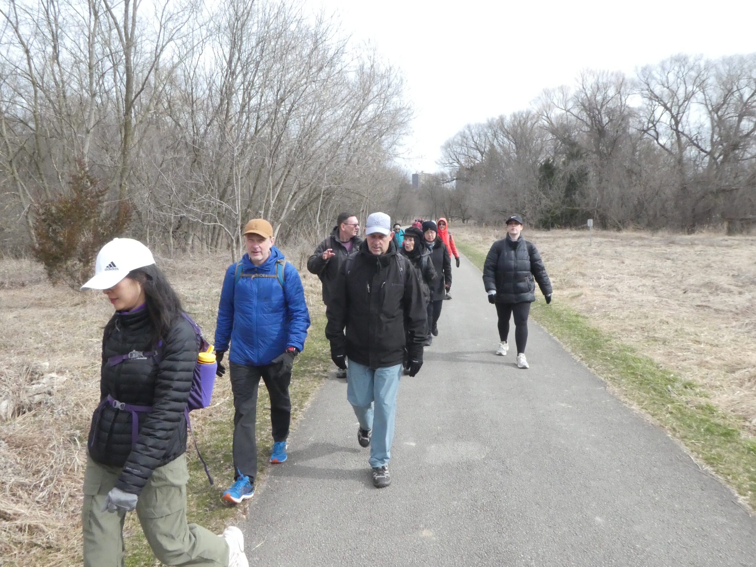
Urban Walk - Toronto Urban Badge Hike - 1 of 7
https://hikes.brucetrail.org/event/urban-walk-toronto-urban-badge-hike-1-of-7-3/Sorry, the registration cut-off time for this hike has been reached.Not a member? Click here to join today!Hosting Club: Toronto
Category: Urban Walk
Location (Google Maps):Humber Recreational Trail
Hike Leader(s): Brian Rideout Click here to contact Hike Leader(s)
Pace: Moderate (3-4 km/hr)
Terrain: Flat, Level 2 (Intermediate – some hills and uneven surfaces, rocks and roots underfoot)
Distance (km): 11 kmDescription
Please join me at the south west corner of Finch and Weston by 10 AM. We will hike south on the Humber Recreational Trail to Scarlet and Eglinton (km 30.2 to km 19.2). Here is an online map with km markings of our route for all 7 hikes for the Toronto Urban Badge: https://onthegomap.com/s/c2c1hf3nPlease make sure you bring at least 2 liters of water, a lunch, and icers.
Rainbow/Welcome Hike: Cave Springs Loop
https://hikes.brucetrail.org/event/rainbow-welcome-hike-cave-springs-loop-2/Sorry, the registration cut-off time for this hike has been reached.Not a member? Click here to join today!Hosting Club: Niagara
Category: In and Out
Location (Google Maps):Quarry Road Parking Lot, Beamsville https://maps.app.goo.gl/XZGtvFN5kkjU8Py29
Hike Leader(s): Angela Lytle Click here to contact Hike Leader(s)
Pace: Leisurely <3 km/hr
Terrain: Moderate: some hills and some poor footing
Distance: 5-6 kmDescription
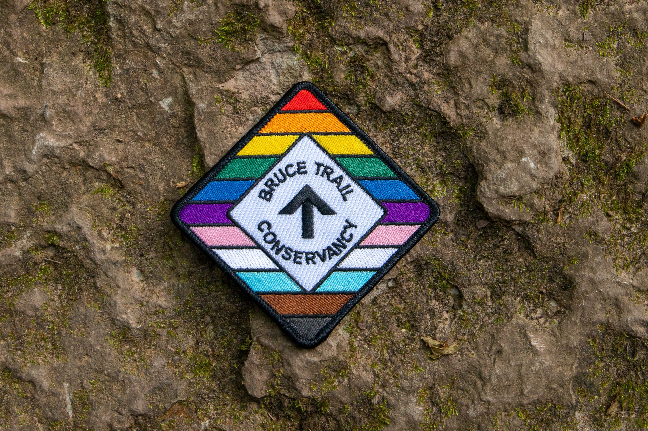
Join the Niagara Bruce Trail Club, Bridges Niagara Immigrant and Refugee Services and PFLAG Niagara for a Rainbow-Welcome Hike at Cave Spring Conservation Area in Lincoln!What is a Rainbow-Welcome Hike?
These hikes aim to bring 2S-LGBTQIA+ newcomers together with other newcomers and community members, friends and allies to enjoy nature and connect to the land and enjoy nature in all seasons.
It is an intentionally affirming space for people of diverse backgrounds and identities with a focus on 2S-LGBTQIA+ inclusion. Everyone is welcome.
We will have Bruce Trail PRIDE stickers for all hikers, and a limited number of PRIDE badges if you don’t yet have one!
Hike Details
Route: This hike loops from Quarry Rd in Beamsville along the Bruce Trail to Cave Spring Conservation area and back.
Terrain: The path to Cave Spring runs along the escarpment edge and is quite rocky and has some hills. We will adjust the pace to the group but be prepared for some rocky, uneven footing and clambering up and down. We recommend using hiking poles. Wearing good hiking shoes is a must and icy winter conditions on the trail require icers or micro-spikes. Carry water and dress in layers for changeable weather. The hike goes ahead rain, snow or shine unless there are dangerous weather conditions – the hike leader will contact you if anything changes.
Note: There are no toilets on this route.
***Please arrive by 9:50 to check in with the hike leader for departure at 10.
Meet at the parking lot on Quarry Road in Beamsville: https://maps.app.goo.gl/XZGtvFN5kkjU8Py29
Note parking is limited so please carpool with others if possible. When the small lot is full, there is roadside parking along Quarry Rd.
Daytime, Snowshoe Adventure Badge #2 - North Street north
https://hikes.brucetrail.org/event/daytime-snowshoe-adventure-badge-2-north-street-north/Sorry, the registration cut-off time for this hike has been reached.Not a member? Click here to join today!Hosting Club: Beaver Valley
Location (Google Maps): Meet on the west end of North St., on the south shoulder of the road facing your car east. Km 56.1 Map 26, Edition 31 ,
Hike Leader(s): Glenda Collings Click here to contact the hike leader.
Pace: Medium
Terrain: Moderate, Some steep sections
Length of Hike: Approx. 5 km, shorter if we encounter very deep snow.Description
If you have participated in both Snowshoe Adventure hikes please bring, on this hike, $10 (members) $15 (non-members) for the badge. This will be an out and back hike from North St. On winter hikes we may encounter bare ground, light snow, deep snow, or ice. Please bring snowshoes and icers and be prepared to take a turn at breaking trail if necessary. Wear appropriate clothing for the weather plus water and a snack. Participants should have some experience with snowshoeing.COVID-19 Precautions Before, During and After your Hike
- Each hiker joining a Bruce Trail Club organized hike must perform a self-screening check before hiking.
Find Ontario’s self-assessment tool here: https://covid-19.ontario.ca/self-assessment/ - If you are experiencing COVID-19 symptoms, stay home.
Other Guidelines
- Arrive 15 minutes before the start of the hike.
- Wear sturdy footwear and appropriate attire for the weather and the terrain.
Hiking poles are a good idea in any season, especially if the terrain is rocky or slippery. In winter, snowshoes or icers/crampons are needed when conditions dictate.
Wearing appropriate clothing and footwear prevents injuries and shows consideration for a safe and positive group hiking experience. - Always carry I.D. and your health card.
- Bring sufficient water and snacks (or lunch if indicated). A minimum of 1L of water is recommended on all hikes, and 3L is recommended for long, challenging hikes in the heat of the summer.
- Bring sunscreen and insect repellent (for spring and summer hikes).
- Bring your own first aid kit.
- Please leave dogs at home.
- Each hiker joining a Bruce Trail Club organized hike must perform a self-screening check before hiking.