
The BTC office will be closed on Mon. Oct. 12 for the holiday. Thank you for your understanding.
Hike Schedule
Join us for a hike! Registration required.
All hikes available to BTC members. Some hikes are open to non-members.
See Refund Policy for Paid Hikes >
TIP: The calendar view displays up to 7 hikes on a day, but often there are more. Click “View more events” to see them all.
Niagara
Iroquoia
Toronto
Caledon Hills
Dufferin Hi-Land
Blue Mountains
Beaver Valley
Sydenham
Peninsula
All Clubs
Show Filters
Categories
Reset Filters
- 21September 21, 2025
Car Hike: Jefferson Forest and Bond Lake (Richmond Hill)
https://hikes.brucetrail.org/event/car-hike-jefferson-forest-and-bond-lake-richmond-hill-5/Sorry, the registration cut-off time for this hike has been reached.Not a member? Click here to join today!Hosting Club: Toronto
Category: Car Hike
Location (Google Maps):1245 Bethesda Side Rd, Richmond Hill, ON L4E 1A2 ( Bethesda Trail Head Parking lot)
Hike Leader(s): Amir Alemohammad Click here to contact Hike Leader(s)
Pace: Moderate (3-4 km/hr)
Terrain: Flat, Hilly, Level 2 (Intermediate – some hills and uneven surfaces, rocks and roots underfoot), Variable
Distance: 13-14 kmDescription
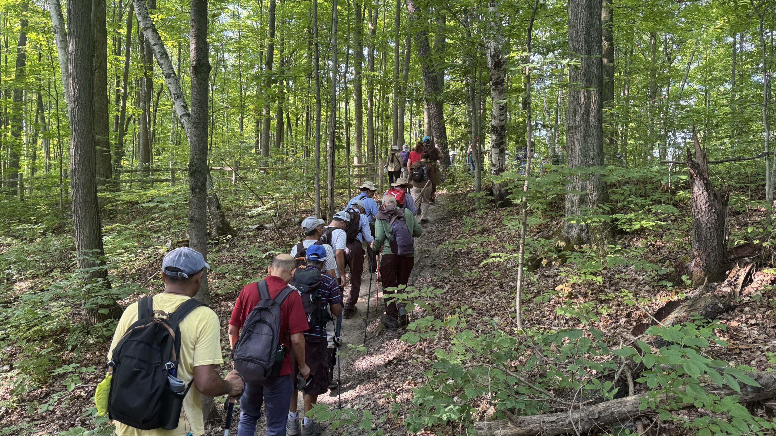
Join us for a wonderful hike in Jefferson Forest and have a snack/lunch beside the Bond Lake. We will hike among tall trees and bushes of the Jefferson Forest and across the Bayview-Yonge corridor to reach to the Bond Lake. Boots mandatory, poles recommended, bring at least 2L of water, bug spray, sunscreen, snack/lunch and dress according to the weather conditions. Please avoid parking along the road. Difficulty Level: 2 (Moderate)Please arrive @7:45 AM for start of 8:00AM.
This is a joint hike with the Oak Ridges Trail Association (ORTA).

11am - Walking Through Time – Exploring the Geology of the Saugeen (Bruce) Peninsula Book Launch & Geology Hike with Beth Gilhespy
https://hikes.brucetrail.org/event/11am-walking-through-time-exploring-the-geology-of-the-saugeen-bruce-peninsula-book-launch-geology-hike-with-beth-gilhespy/Sorry, the registration cut-off time for this hike has been reached.Not a member? Click here to join today!Hosting Club: Peninsula
Location (Google Maps): Lion’s Head Beach Pavilion
Hike Leader(s): Saabir Sohrab, Beth Gilhespy Click here to contact Hike Leader(s)
Pace: Leisurely (2.0 – 3.0 km/h): A relaxed pace with frequent breaks and a focus on enjoyment.
Terrain: Moderate: Rolling hills, mild slopes and rocky paths.
Distance: ~2kmDescription
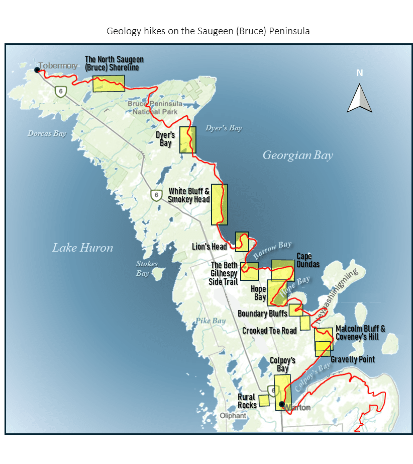
The Peninsula Bruce Trail Club and the Owen Sound Field Naturalists invite you to a special day celebrating the launch of Walking Through Time – Exploring the Geology of the Saugeen (Bruce) Peninsula, the third book in Beth Gilhespy’s acclaimed series.In this latest volume, Beth takes readers on a fascinating journey through one of Ontario’s most geologically rich and scenic landscapes – from fossil-filled cliffs and quiet wetlands to rugged shorelines shaped by ancient tropical seas and shifting continents. With 13 detailed hikes, maps, and interpretive notes, this is the perfect guide for curious hikers and nature lovers.
Event Highlights:
- Book Launch & Meet the Author – Chat with Beth from 10:00 AM – 3:00 PM and purchase signed copies (cash, cheque, or e-transfer).
- Guided Geology Hikes – Join Beth for a 2 km interpretive walk along the Lion’s Head shoreline at 11:00 AM.
- Social Time – Connect with fellow hikers, naturalists, and geology enthusiasts.
Registration Details:
- The book launch is open to all – no registration required.
- To join one of the geology hikes, pre-registration is required
- You do not need to be a BTC member to participate in a hike.
- Wear sturdy footwear and dress for the weather
Come for the book, stay for the rocks – we can’t wait to see you there! 🥾📚🪨
1pm - Walking Through Time – Exploring the Geology of the Saugeen (Bruce) Peninsula Book Launch & Geology Hike with Beth Gilhespy
https://hikes.brucetrail.org/event/1pm-walking-through-time-exploring-the-geology-of-the-saugeen-bruce-peninsula-book-launch-geology-hike-with-beth-gilhespy/Sorry, the registration cut-off time for this hike has been reached.Not a member? Click here to join today!Hosting Club: Peninsula
Location (Google Maps): Lion’s Head Beach Pavilion
Hike Leader(s): Saabir Sohrab, Beth Gilhespy Click here to contact Hike Leader(s)
Pace: Leisurely (2.0 – 3.0 km/h): A relaxed pace with frequent breaks and a focus on enjoyment.
Terrain: Moderate: Rolling hills, mild slopes and rocky paths.
Distance: ~2kmDescription
The Peninsula Bruce Trail Club and the Owen Sound Field Naturalists invite you to a special day celebrating the launch of Walking Through Time – Exploring the Geology of the Saugeen (Bruce) Peninsula, the third book in Beth Gilhespy’s acclaimed series.In this latest volume, Beth takes readers on a fascinating journey through one of Ontario’s most geologically rich and scenic landscapes – from fossil-filled cliffs and quiet wetlands to rugged shorelines shaped by ancient tropical seas and shifting continents. With 13 detailed hikes, maps, and interpretive notes, this is the perfect guide for curious hikers and nature lovers.
Event Highlights:
- Book Launch & Meet the Author – Chat with Beth from 10:00 AM – 3:00 PM and purchase signed copies (cash, cheque, or e-transfer).
- Guided Geology Hikes – Join Beth for a 2 km interpretive walk along the Lion’s Head shoreline at 1:00 PM.
- Social Time – Connect with fellow hikers, naturalists, and geology enthusiasts.
Registration Details:
- The book launch is open to all – no registration required.
- To join one of the geology hikes, pre-registration is required
- You do not need to be a BTC member to participate in a hike.
- Wear sturdy footwear and dress for the weather
Come for the book, stay for the rocks – we can’t wait to see you there! 🥾📚🪨
Exploring Sydenham Hikes #31 Fossil Glen and # 32 Frank Holley
https://hikes.brucetrail.org/event/exploring-sydenham-hikes-31-fossil-glen-and-32-frank-holley/Sorry, the registration cut-off time for this hike has been reached.Not a member? Click here to join today!Hosting Club: Sydenham
Category: General Hike
Location (Google Maps):The Owen Sound Galaxy Cinema parking lot. Meet at the tall “Galaxy Centre” sign next to the traffic lights.
Hike Leader(s): Bill Snel Click here to contact Hike Leader(s)
Pace: Leisurely: 3 km/h or less
Terrain: Moderate: Some hills and/or poor footing
Distance: 4 kmDescription
We will carpool to do two connected loop hikes of Fossil Glen and Frank Holley. This will be hikes 31 and 32 in the book Exploring Sydenham. There will be one secret to find on each hike. If you do not have a book and would like one ($30) let me know by using the “Contact hike leader” link. - 22September 22, 2025

Heather & Steve's 3rd Annual Fall Cairn to Cairn - Sydenham section
https://hikes.brucetrail.org/event/heather-steves-3rd-annual-fall-cairn-to-cairn-sydenham-section/Sorry, the registration cut-off time for this hike has been reached.Not a member? Click here to join today!Hike open to BTC Members only.
This is a Multi-Day Hike
You are signing up for the following dates and times:
2025-09-22 at 07:45
2025-09-23 at
2025-09-24 at
2025-09-25 at
2025-09-29 at
2025-09-30 at
2025-10-01 at
2025-10-02 atHosting Club: Caledon Hills, Sydenham
Category: End-to-End
Location (Google Maps): Roadside parking – east of km 148.5 (Map 34) on Graham’s Hill Rd.Hike Leader(s): Heather Murch Click here to contact Hike Leader(s)
Pace: Brisk – 4 to 5 km/hour
Terrain: Strenuous – hilly with steep climbs and some poor footing
Distance: 23.2 kmDescription
We’ve had so much fun completing the Bruce Trail in the Fall of 2023 and again in 2024, that we’ve decided to do it again!This hike series covers the Sydenham section; 168 km over 8 days.
Note that hikers have alternative dates if they wish – choose 29 Sept or 7 Oct for Hike #5 and 2nd or 8th Oct for Hike #8. The first options give hikers the week of Oct 6th off. The second options give some rest days for those participating in Sydenham’s official Club E2E.
We will meet each morning at 7:45 and be ready to shuttle at 8:00. Hikers will take turns shuttling and taking drivers to their cars each day. Any parking costs will be shared among hikers.
Hikers should wear layered clothing, hiking boots, poles, hat, sunscreen, bug spray, rain gear and bring plenty of water, snacks and lunch. We will hike rain or shine.
Full itinerary will be emailed to hikers the week before the first hike.
Terra Cotta Loop - CANCELLED
https://hikes.brucetrail.org/event/terra-cotta-loop/Sorry, the registration cut-off time for this hike has been reached.Not a member? Click here to join today!Hosting Club: Iroquoia, Toronto
Category: General Hike
Location (Google Maps): Roadside parking on Boston Mills RoadHike Leader(s): Pati Greenwood, Jeff Dowsett Click here to contact Hike Leader(s)
Pace: Medium – 3 to 4 km/hr
Terrain: Moderate – Some hills and/or some poor footing
Distance: 15 kDescription
Starting from the roadside parking, the hike will follow the main trail, the Terra Cotta Side Trail, and the Rockside Side Trail to form a loop. This hike will feature some tricky footing, including rocky areas and a few steep climbs. Regular breaks and a snack stop will be included. Bring snacks, and plenty of water. Insect repellent is also recommended. Please arrive at 8:15 am as we will depart promptly at 8:30 am.Welland Canals Badge Hike 4
https://hikes.brucetrail.org/event/welland-canals-badge-hike-4/Sorry, the registration cut-off time for this hike has been reached.Not a member? Click here to join today!Hosting Club: Niagara
Category: Loop
Location (Google Maps): Port Dalhousie Public Parking lotHike Leader(s): Erin Lyttle Click here to contact Hike Leader(s)
Pace: Brisk, Medium
Terrain: Easy
Distance: 7KDescription
Meet at Port Dalhousie Public Parking lot near Lakeport road in St. Catharines. Note this is PAID PARKING. For other parking options see here: https://www.stcatharines.ca/en/roads-parking-and-traffic/parking-in-port-dalhousie.aspx We will be doing the Welland Canals Hike #4. Note the hike starts at 8:30am and is the 4th in the Welland Canals badge series. If you are interested in receiving your badge after completing the 4th hike on Sept 29th, please let me know and pay in cash or via etransfer (I can give you directions on the hike) $10 for members (please provide BTC number) or $15 for non-members. Badge info: https://niagarabrucetrail.club/badges/Please wear good walking shoes (the path/trail is mostly flat), poles if you like and water/snacks.
Caledon Hills Completion Hikes
https://hikes.brucetrail.org/event/caledon-hills-completion-hikes/Sorry, the registration cut-off time for this hike has been reached.Not a member? Click here to join today!Hike open to BTC Members only.
Hosting Club: Caledon Hills
Category: General
Location (Google Maps): Roadside parking on the west side of 2nd Line EHS. Caledon Hills section near Glen Cross/Hockley Valley.Hike Leader(s): Mel Thornley Click here to contact Hike Leader(s)
Pace: Medium – 3 to 4 km/hour
Terrain: Moderate – some hills and/or some poor footing
Distance: 9 kmDescription
Relatively easy hike, some hills and roots, but well worth the drive! We’ll stop for a short lunch. Bring snacks, water, good hiking shoes/boots and poles are always recommended. This will be a car hike, we’ll meet at roadside parking on the west side of 2nd Line EHS and car pool to the beginning of the hike, which is at the east side of the Fifth Line EHS just south of Hockley Road.Novice Hikers - Fall Series of 10 Hikes in Dufferin, Hike 1
https://hikes.brucetrail.org/event/novice-hikers-fall-series-of-10-hikes-in-dufferin-hike-1/Sorry, the registration cut-off time for this hike has been reached.Not a member? Click here to join today!Hosting Club: Caledon Hills
Category: Introductory
Location (Google Maps): Meet at Mono Centre parking, gravel area. Map 19Hike Leader(s): Nancy Mooney Click here to contact Hike Leader(s)
Pace: Leisurely – 3 km/hour or less, Medium – 3 to 4 km/hour
Terrain: Easy – mostly flat and usually good footing, Moderate – some hills and/or some poor footing
Distance: 6.5 kmDescription
This is the first of a series of 10 hikes for people new to hiking and will be a loop through Mono Cliffs Provincial Park. Hikes will be offered Mondays and Thursdays and we will be earning the Dufferin 60 in 60 badge for completing all ten hikes. You need to register for each hike. Distances will range from 6.5 – 8.5 km. It is encouraged to wear closed-toed comfortable shoes or hiking boots and to bring a hat, sun screen, bug spray, rain poncho, snacks, and water. - 23September 23, 2025
8:00 Long Hike Wiley Road Short Hills
https://hikes.brucetrail.org/event/800-long-hike-wiley-road-short-hills-14/Sorry, the registration cut-off time for this hike has been reached.Not a member? Click here to join today!Hosting Club: Niagara
Location (Google Maps):
Short Hills Wiley Road Entrance
Pace: Medium
Terrain: Moderate
: 10kmDescription
Explore Short Hills and the majestic side trails of Scarlett Tanager, Hemlock. Swayze Falls and Terrace. Register for each hikeBring Poles, Sun Screen Bug Spray, snack, and dress for the weather
9:15 Short Hike - Short Hills Park, Pelham Rd
https://hikes.brucetrail.org/event/915-short-hike-short-hills-park-pelham-rd-28/Sorry, the registration cut-off time for this hike has been reached.Not a member? Click here to join today!Hosting Club: Niagara
Category: Hike
Location (Google Maps): Pelham Rd entrance, Short Hills Provincial ParkHike Leader(s): Debbie Demizio Click here to contact Hike Leader(s)
Pace: Medium
Terrain: Moderate
Distance: ~ 6kmsDescription
Hike the main and side trails in Short Hills Provincial Park. Bring hiking boots, water, sunscreen and bug spray.Forks of the Credit Loop
https://hikes.brucetrail.org/event/forks-of-the-credit-loop/Sorry, the registration cut-off time for this hike has been reached.Not a member? Click here to join today!Hosting Club: Dufferin Hi-Land
Category: Tuesday Hike
Location (Google Maps):Caledon Hills Secion Map 15, Meet at Party City in Orangeville at 9:00 am for car pool or at roadside parking on Mississauga Rd near Cataract Rd where the Elora Cataract Trail crosses at 9:30 am
Hike Leader(s): Inge Eckerich, Tony Evangelista , Les Babbage, Julie Daley Click here to contact Hike Leader(s)
Pace: Leisurely, Medium
Terrain: Moderate
Distance: 9 Km. Short hike 5 kmDescription
We will hike loops consisting of Elora -Cataract Trailway, Main Trail, Dorothy Medhurst and Mill Pond sidetrails. Shorter hike will turn back before the Main Trail/Dorothy Medhurst loop - 24September 24, 2025
Autumnal Equinox Hike with Tai Chi
https://hikes.brucetrail.org/event/autumnal-equinox-hike-with-tai-chi/Sorry, the registration cut-off time for this hike has been reached.Not a member? Click here to join today!Hosting Club: Niagara
Category: Loop
Location (Google Maps): Park at the entrance to Woodend Conservation Area, Taylor Rd, Niagara-on-the-LakeHike Leader(s): Margaret Northfield Click here to contact Hike Leader(s)
Pace: Medium
Terrain: Moderate
Distance: 6-7kmDescription
Join in on this moderate hike for this first day of Fall. Intermittent tai chi with instructor Mike Van Natter. Tai chi is a perfect supplement to hiking by improvimpng strength, flexibility, balance and breathing.Cancelled due to rain - Fall Colors Pretty River Valley Provincial Park Lookout
https://hikes.brucetrail.org/event/fall-colors-pretty-river-valley-provincial-park-lookout/Sorry, the registration cut-off time for this hike has been reached.Not a member? Click here to join today!Hosting Club: Blue Mountains
Category: Organized Hike
Location (Google Maps): Tim Hortons, First Street, CollingwoodHike Leader(s): Annette Sandberg Click here to contact Hike Leader(s)
Pace: Medium – 3 to 4 km/hr
Terrain: Moderate – Some hills and/or some poor footing
Distance: 5kmDescription
Enjoy spectacular fall colors from three scenic lookouts on the Pretty River Provincial Park upper level. We will follow the crevice line looking over Clearview Township and the Pretty River Valley, taking in sweeping views of the autumn forest in full color.WEDNESDAY WALKERS: More West Beaver Valley
https://hikes.brucetrail.org/event/wednesday-walkers-more-west-beaver-valley-3/Sorry, the registration cut-off time for this hike has been reached.Not a member? Click here to join today!Hosting Club: Beaver Valley
Location (Google Maps): Meet in the parking lot on Sideroad 7A, km 82.4, Map 26, Edition 31
Hike Leader(s): Margaret Yaraskavitch Click here to contact the hike leader.
Pace: Medium
Terrain: Moderate, Some rocky footing, Some steep sections
Length of Hike: 4.5 kmDescription
After shuttling to 13A, we will be walking through a stretch of valley slope. There are mature hardwood forests, numerous crevices and interesting rock formations along our route. We end with a big view across the Beaver Valley.Guidelines
- Arrive 15 minutes before the start of the hike.
- Wear sturdy footwear and appropriate attire for the weather and the terrain.
Hiking poles are a good idea in any season, especially if the terrain is rocky or slippery. In winter, snowshoes or icers/crampons are needed when conditions dictate.
Wearing appropriate clothing and footwear prevents injuries and shows consideration for a safe and positive group hiking experience. - Always carry I.D. and your health card.
- Bring sufficient water and snacks (or lunch if indicated). A minimum of 1L of water is recommended on all hikes, and 3L is recommended for long, challenging hikes in the heat of the summer.
- Bring sunscreen and insect repellent (for spring and summer hikes).
- Bring your own first aid kit.
- Please leave dogs at home.
Good Companions - Two Loops from City View Park Burlington
https://hikes.brucetrail.org/event/good-companions-two-loops-from-city-view-park-burlington/Sorry, the registration cut-off time for this hike has been reached.Not a member? Click here to join today!Hosting Club: Iroquoia
Category: Good Companions
Location (Google Maps):North Parking Lot off Kerns Road (Near Dundas Street)
City View Park
BurlingtonHike Leader(s): Ted Bossence Click here to contact Hike Leader(s)
Pace: Medium – 3 to 4 km/hr
Terrain: Strenuous – Hilly with steep climbs and some poor footing
Distance: 7.5 kmDescription
We will do a loop on the East side of Kerns Road including the Ian Reid Side Trail and then do a loop using the main Bruce Trail and King Road Side Trail on the West side of Kerns. A couple of the hills will be steep and may be slippery. We will stop for a snack between the two loops. Bring water, a snack, sunscreen. Hiking poles recommended. Please arrive at least 10 minutes prior to start time as I will be leaving on time. In case of rain, I will cancel the hike so please check your email the night before the hike. I will be providing contact information on the day before the hike in case you need to cancel after 4:00 pm on that day or the morning of the hike. - 25September 25, 2025
8:00 am Long Hike Cave Spring Conservation Area
https://hikes.brucetrail.org/event/800-am-long-hike-cave-spring-conservation-area-13/Sorry, the registration cut-off time for this hike has been reached.Not a member? Click here to join today!Hosting Club: Niagara
Location (Google Maps):
Cave Spring Conservation Area
Pace: Medium
Terrain: Moderate
: 10kDescription
This will be our permanent Thursday Location until Bridge repairs complete. From Cave Spring Conservation Area explore the trail network on the escarpment towards Kinsman Park and Moyer Road.You must register for each hike. Bring Poles, snack bug spray, sunscreen and a drink. Dress for the weather
Urban Walk: Valley View Park Thornhill 130
https://hikes.brucetrail.org/event/urban-walk-valley-view-park-thornhill-105/Sorry, the registration cut-off time for this hike has been reached.Not a member? Click here to join today!Hosting Club: Toronto
Location (Google Maps): Parking lot is off Sycamore Drive East of Bayview , across Starbucks plaza
Bus 91 from Finch east station stops at Sycamore station.Hike Leader(s): Mohammad Aghamiri Click here to contact Hike Leader(s)
Pace: Moderate (3-4 km/hr)
Terrain: Hilly, Level 2 (Intermediate – some hills and uneven surfaces, rocks and roots underfoot), Variable
Distance: 7-8 kmDescription
We will explore Valleyview and Maple View parks, and walk along German Mill Creak, in return we stop in Huntington park and have snack under beautiful shed ,Even it is considered Urban walk, it is urban hike as we have some up and down hills and tree roots, please bring your hiking poles, water and snacks,
phone number for the day of hike 289 588 6482
Hiking Around Jordan
https://hikes.brucetrail.org/event/hiking-around-jordan-33/Sorry, the registration cut-off time for this hike has been reached.Not a member? Click here to join today!Hosting Club: Niagara
Location (Google Maps): 3640 Glen Road, Jordan LOR 1SO
Hike Leader(s): Bill Russell Click here to contact Hike Leader(s)
Pace: Medium
Terrain: Moderate
Distance: 7 kmDescription
Hikng in and around Jordan including Jim Rainforth Trail, trail to Jordan Village and the Bailey Bridge and trail to Balls FallsNovice Hikers - Fall Series of 10 hikes in Dufferin, Hike 2
https://hikes.brucetrail.org/event/novice-hikers-fall-series-of-10-hikes-in-dufferin-hike-2/Sorry, the registration cut-off time for this hike has been reached.Not a member? Click here to join today!Hosting Club: Caledon Hills
Category: Introductory
Location (Google Maps): Meet at km 40.7 on Prince of Wales Road. Map 21Hike Leader(s): Nancy Mooney Click here to contact Hike Leader(s)
Pace: Leisurely – 3 km/hour or less, Medium – 3 to 4 km/hour
Terrain: Easy – mostly flat and usually good footing, Moderate – some hills and/or some poor footing
Distance: 6.5 km loopDescription
This is the second hike in the 10 hike series to earn the 60 in 60 badge for Dufferin Section. Hills, forest, farmland, styles and road.
Weeknight Rainbow Hike: Chedokee-Robert MacLaren + Japanese Interval Walking
https://hikes.brucetrail.org/event/weeknight-rainbow-hike-chedokee-robert-maclaren-japanese-interval-walking/Sorry, the registration cut-off time for this hike has been reached.Not a member? Click here to join today!Hosting Club: Iroquoia
Category: Rainbow Hike
Location (Google Maps): Hillcrest Loop, bottom of Dundurn Stairs, next to bus stopHike Leader(s): Doug O’Neill Click here to contact Hike Leader(s)
Pace: Brisk – 4 to 5 km/hr, Leisurely – 3km/hr or less
Terrain: Easy – Mostly flat and usually good footing
Distance: 9-10 kmDescription
***CANCELLED** Please see the Hiking Schedules up for 4 upcoming October-November-December Rainbow Hikes.Everyone is welcome on this uber-friendly, all-inclusive 2SLGBTQAI+ Rainbow Hike.
Tonight’s hike, along the Chedokee Trail and Robert MacLaren Sidetrail, includes an (optional) opportunity to try Japanese interval walking (Nihon-shiki)—for at least one 30-minute segment. The rest of the evening you simply walk at your regular pace. Our August experiment got the thumbs up from participants!
How it works:
• Alternate 3 minutes of brisk walking (enough to raise your heart rate and make talking difficult) with 3 minutes of slower, recovery walking
• Each cycle = 6 minutes; we’ll repeat it five times for a total of 30 minutes
• If everyone agrees, we’ll try another 30-minute interval toward the end of our hike.
• No one gets left behind (and if they did, well, we’ve not heard from them since 🙂Everyone gets a Bruce Trail Rainbow Badge. Again, this is NOT a high-intensive evening. The Japanese interval walking is 30-minutes of the hike. It’s a regular hike otherwise.
Bring water, perhaps a snack if you’ve skipped dinner, and sturdy shoes (runners will work for this hike)
Coming by transit?: the No 7 Hillcrest Loop bus will drop you off right where we’ll begin the hike.
Email any questions to Doug – “Click here to contact Hike Leader” on this form.
- 26September 26, 2025
Hockley Valley Loops
https://hikes.brucetrail.org/event/hockley-valley-loops/Sorry, the registration cut-off time for this hike has been reached.Not a member? Click here to join today!Hosting Club: Iroquoia, Caledon Hills
Category: General Hike
Location (Google Maps): Parking lot on east side of 3rd line EHS, with access to Glen Cross Side TrailHike Leader(s): Pati Greenwood, Jeff Dowsett Click here to contact Hike Leader(s)
Pace: Medium – 3 to 4 km/hr
Terrain: Strenuous – Hilly with steep climbs and some poor footing
Distance: 14 kmDescription
We will hike a loop including the main trail and BT side trails in the Hockley Valley. Footing will be mostly good but there will be a number of steep hills to climb and descend. Bring a snack and plenty of water. Insect repellent is recommended. Wear sturdy footwear and clothing appropriate to conditions. Please arrive by 8:15 am as we will leave promptly at 8:30AM.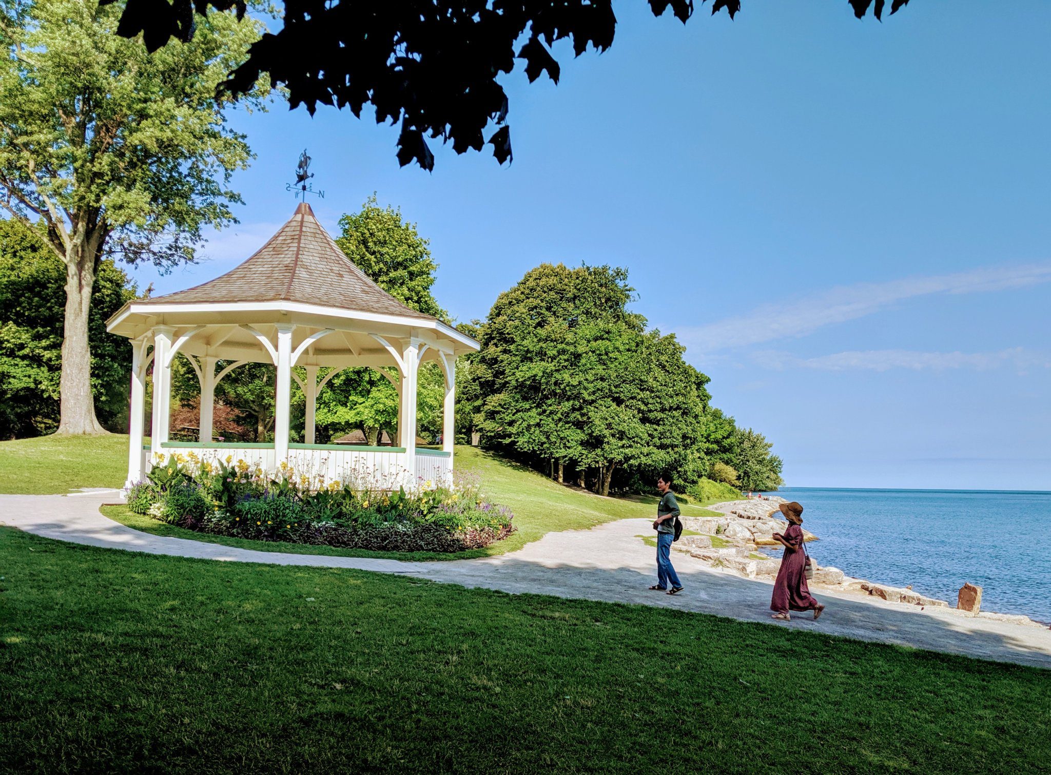
Niagara-on-the-Lake Tour
https://hikes.brucetrail.org/event/niagara-on-the-lake-tour-16/Sorry, the registration cut-off time for this hike has been reached.Not a member? Click here to join today!Hosting Club: Niagara
Category: Urban
Location (Google Maps): Park on King St near Centre St at the entrance to Veteran’s Memorial Park, Niagara-on-the-LakeHike Leader(s): Margaret Northfield Click here to contact Hike Leader(s)
Pace: Medium
Terrain: Easy
Distance: 6-7kmDescription
Each Friday we will explore some history of Niagara-on-the-Lake while getting a moderate paced walk. Discover where the Niagara River meets Lake Ontario. Experience the Heritage District, woods and the Niagara Parkway.Some weeks may be totally on sidewalks and roads while others may include a mix of trail and paved pathways.
Great way to build up endurance for longer more strenuous hikes.
Plan to stay for conversation and a coffee at Sweets & Swirls, Community Centre, Niagara Stone Rd., NOTL
Margaret & Robin
Mono Cliffs and Whitetail Refuge
https://hikes.brucetrail.org/event/mono-cliffs-and-whitetail-refuge/Sorry, the registration cut-off time for this hike has been reached.Not a member? Click here to join today!Hosting Club: Dufferin Hi-Land
Category: General Hike
Location (Google Maps): Mono Community Centre. 200m south of Mono Centre (County Road 8). Gravel parking lot. See GPS co-ordinates below.Hike Leader(s): Stuart Law Click here to contact Hike Leader(s)
Pace: Medium
Terrain: Moderate
Distance: 13.6 kmsDescription
Join us on a beautiful Fall walk north and south of Mono Centre. Lots of side trails connected by the main trail. Hiking boots mandatory. Please bring 2L of water, a snack, a lunch and a smile. Optional pub stop after the hike.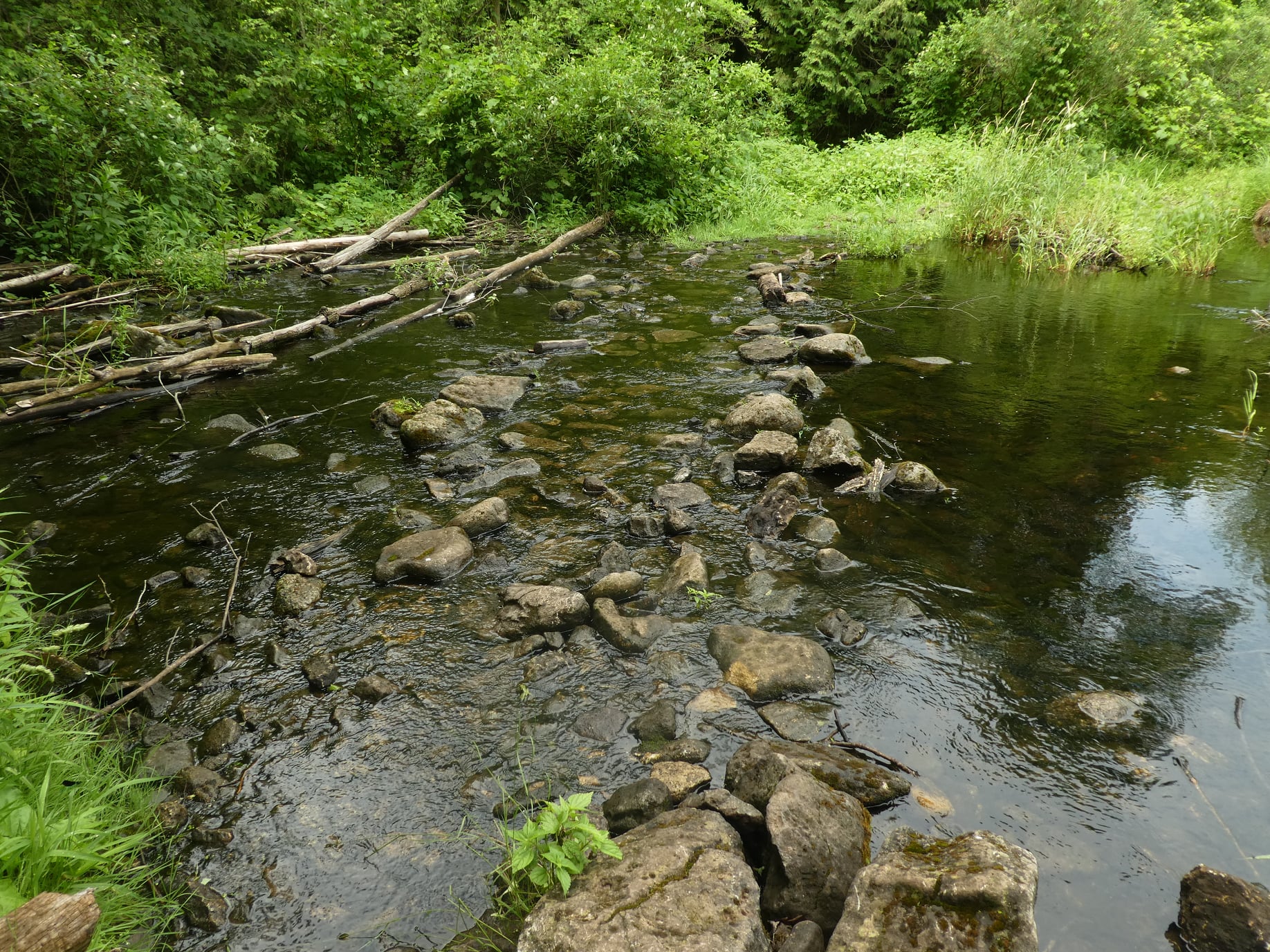
Halton Forest to Speyside (E2E)
https://hikes.brucetrail.org/event/halton-forest-to-speyside-e2e/Sorry, the registration cut-off time for this hike has been reached.Not a member? Click here to join today!Hosting Club: Iroquoia
Category: General Hike
Location (Google Maps): Meet at the Pear Tree parking lot at Speyside on 15 Side Road at 9:15 am.Hike Leader(s): Karen Bergmann Click here to contact Hike Leader(s)
Pace: Medium – 3 to 4 km/hr
Terrain: Moderate – Some hills and/or some poor footing
Distance: 8 kmsDescription
We will meet at 9:15 in the Pear Tree parking lot on 15 Side Road and carpool to 6th Line at the Halton Agreement Forest and hike back along the Hilton Falls Side Trail, Al Shaw Side Trail and the main trail. This trail has some serious rocks and we cross a couple of creeks. Bring bug spray and plenty of water. - 27September 27, 2025

Peninsula End2End in 8 Series
https://hikes.brucetrail.org/event/peninsula-end2end-in-8-series-2/Sorry, the registration cut-off time for this hike has been reached.Not a member? Click here to join today!Hike open to BTC Members only.
This is a Multi-Day Hike
You are signing up for the following dates and times:
2025-09-27 at 07:30
2025-09-28 at 07:30
2025-10-04 at 07:30
2025-10-05 at 07:30
2025-10-18 at 07:30
2025-10-19 at 07:30
2025-10-25 at 07:30
2025-10-26 at 07:30Hosting Club: Peninsula
Category: Peninsula E2E
Location (Google Maps):Hike Leader(s): Saabir Sohrab, Randy Vanderlaan Click here to contact Hike Leader(s)
Pace: Medium (3.0 – 4.5 km/h): A comfortable pace for most hikers with steady progress.
Terrain: Difficult: Steep ascents/descents, rocky scrambling, and some rugged escarpment paths., Moderate: Rolling hills, mild slopes and rocky paths.
Distance: Approx. 162.15km total [~21km per day]Description
Peninsula End2End in 8 HikesHike Overview:
- Route: Northbound from Wiarton to Tobermory
- Pace: Medium (3-4 km/h)
- Terrain: Moderate/Difficult
- Distance: Approximately 162 km total (~21 km per day)
- Expectations: Expect to be on-trail for 7-9 hours each day, depending on the daily distance (ranging from 19.2 km to 25.1 km). Time on the trail may vary based on terrain, conditions, and the pace of the group (3-4 km/h). Breaks will be taken for lunch, snacks, photography, and to appreciate the scenery.
- Meeting Time: 7:30 AM. Please arrive no later than 15 minutes prior to the scheduled time
- Registration fee does not include Bruce Peninsula National Park entry fee. Parking charges will be shared among participants.
- Registration Includes Badge fee
- Participant Requirements:
- Intermediate/experienced hikers, comfortable with longer distances and elevation gains.
- Must be physically fit for group hiking.
- Proper hiking boots, layered clothing, and wet weather gear required. Hiking poles recommended.
- Essentials: Lunch, snacks, water, bug spray.
Transportation:
- Car Shuttle: Participants will take turns as shuttle drivers. Ensure your vehicle is passenger-ready.
Accommodations:
- Early reservations recommended, especially near meeting points or in Lion’s Head. Suggested options: motels, campgrounds, hostels, and B&Bs.
Note: Dogs are not permitted

Peninsula ETE Fundraiser Hike - Sept 27- Oct 4, 2025 - Badge Hike - Eight straight days of hiking - 7:45am Please read all details before registering for this hike.
https://hikes.brucetrail.org/event/peninsula-ete-fundraiser-hike-sept-27-745am-please-read-all-details-before-registering-for-this-hike/Sorry, the registration cut-off time for this hike has been reached.Not a member? Click here to join today!This is a Multi-Day Hike
You are signing up for the following dates:
2025-09-27, 2025-09-28, 2025-09-29, 2025-09-30, 2025-10-01, 2025-10-02, 2025-10-03, 2025-10-04Hosting Club: Iroquoia, Peninsula
Category: Stained Glass Badge End to End Fundraiser Hike
Location (Google Maps): On the first day we will meet at Blue Water Park across from the Wiarton arena 315 George StHike Leader(s): Ruth Moffatt Click here to contact Hike Leader(s)
Pace: Brisk – 4 to 5 km/hr
Terrain: Dependent on Conditions, Strenuous – Hilly with steep climbs and some poor footing
Distance: 165km over 8 days ~ 20km – 25 km+ per day.Description
OverviewImportant – Please do not register for this hike unless you are sure you can attend all 8 days. You may only miss 1 day and will need to make it up prior to the start of the series in order to qualify for the badge.
This is a special series of 8 hikes to complete the Peninsula section of the Bruce Trail. The organization, guidance, logistics and the Turkey Vulture stained glass badge is included in your fee which is non-refundable. (You may swap out the stained-glass badge for the regular end to end badge) Proceeds support the Peninsula Bruce Trail Club which in turn supports the Bruce Trail Conservancy mission to “Preserving a ribbon of wilderness, for everyone, forever.”For this E2E in 8, we will be following the main trail northbound eventually finishing in Tobermory. Please note that you are signing up for the entire series of 8 hikes as a Group Hike. The Peninsula in 8 series is geared to experienced long distance hikers with the expectation of a 3 to 5.0 km/ hr. pace maintained over a 20km plus day. The section is approximately 165km so daily distances will be based on available parking. No dropout points have been established and therefore hikers who must drop out, will be responsible for their own transportation back to their vehicle. Please note that public transportation back to your vehicle is basically non-existent in this section. Please be honest about your hiking abilities. We will hike at a steady pace but there will be plenty of time to take pictures and to enjoy the flora and fauna of this beautiful but challenging section. This particular set of 8 hikes is intended to be Moderate/Brisk. It is a group hike so it is important you are able to keep pace with the person in front of you.
Attire and Daily Hikes.
Hikers will be expected to be wearing proper hiking boots and layered clothing with the expectation of cool and possible wet weather. Sufficient food and water for a full day of hiking is required as well as hiking poles (if you use them), and wet weather gear is strongly recommended. Bug spray/sunscreen is also suggested. Clothing adjustments, bio-breaks are as needed. Please let the sweep person know and they will wait for you. A morning break around 10am and a 10-15 minute on-trail lunch break will be scheduled. An afternoon break will be based on our expected finish time. Depending on weather conditions, these times may vary. Everyone must carry a First Aid kit.
Since this is an end to end that would normally be held over 10 days, please do not sign up for this hike if you need to miss any of the days. It is 8 straight days and your attendance is needed on each of the days for sharing of car shuttling.
All participants will be expected to take turns either driving to the start or driving the drivers back at the end of the day. Carpooling to our meeting spot with 2 people in the car is generally ok but please know you will go into rotation twice as we try to minimize and equalize the driving/shuttling as much as possible so it is fair for all participants.
Parking Fees
Some parking locations require paid parking, and hikes that enter Bruce Peninsula National Park. The fee for this E2E-in-8 does not include any parking/entry fees for hikers. These costs, where applicable, will be shared amongst all participants unless you have a parking or park pass.
Leave No Trace
Please remember, like all hikes, this is a Leave No Trace hike. Pack out whatever you pack in. Do not toss anything onto or into any sections of the trail. We will also try to leave the trail better than we found it so we will be collecting collectable garbage we might see along the way. Daily volunteers to collect trail trash will be supplied with a bag. Dogs will not be welcome on this hike.
Accommodations
It is strongly recommended you make reservations for accommodations as soon as you register for the hike. Accommodations can be made anywhere in the Peninsula but I recommend staying in Lion’s Head which is about mid-way of the section. There is a motel, a campground and several B&B’s. Moving from accommodation to accommodation, while in the Peninsula, is doable but generally not recommended. If you would like a roommate, I can share your email with any other registered participants who are also looking for shared accommodations. Please let me know.
Daily
We meet for each hike by at least 7:45am each day. A schedule for meeting and start locations will be sent to each participant in August. We will hike northerly each day. The schedule is subject to change.
Accommodation Check in is Sept 26 first day of hiking is Sept 27. Checkout Oct 4 or 5th as the last day of hiking is Oct 4.
School Bus Hike: Iroquoia In 8 (1/8) - SECOND BUS
https://hikes.brucetrail.org/event/school-bus-hike-iroquoia-in-8-1-8-second-bus/Sorry, the registration cut-off time for this hike has been reached.Not a member? Click here to join today!Trip Information
Departure Time: 08:30
Return to City Time: 18:30
Departure Point: Kipling Departure PointOptional Items
Hosting Club: Toronto
Category: Bus Hike
Location (Google Maps): km 15.7 (Stoney Creek) to km 0.0 (Grimsby) Bruce Trail Reference Guide 31st ed. Maps 5-6Hike Leader(s): George Lennon, Kerry Seong Click here to contact Hike Leader(s)
Pace: Moderate (3-4 km/hr)
Terrain: Level 2 (Intermediate – some hills and uneven surfaces, rocks and roots underfoot), Rocky, Variable
Distance: 16 kmDescription
Our Iroquoia in 8 series will cover the 122.5 km Iroquia Section of the Bruce Trail in eight moderate paced hikes of a maximum distance of 15-16 km per day. The first four hikes are scheduled for the Fall of 2025 (bi-weekly commencing Sep 27th) and the last four hikes are scheduled for the Spring of 2026. There will be the opportunity to earn the Iroquoia “stained glass” fundraiser badge. For the fundraiser badge, you are allowed to complete up to a maximum of three of the hikes independently if you miss the scheduled hikes (this badge cannot be earned independently ). Funds from the fundraiser badge go towards the Iroquoia club’s endeavors to protect the Niagara Escarpment and the trail ‘forever, for everyone”. There will also be the option to earn the Red Fox Independent badge ($10 Members/$15 Non-Members) which is available to those who hike the section independetly or on organized hikes. Hikers who have completed the section and qualify will be presented with the badge of their choice on the eighth hike in the Spring. Badge fees will be collected prior to the final hike.Everyone is welcome to join any of the hikes in the series whether regardless if they want to complete the E2E or come on just a few.
Those who want to complete the E2E/earn one of the badges are strongly advised to register as soon as registration opens to ensure seating on the bus.
This hike will go in the reverse direction of the original hike starting off in Stoney Creek (Hamilton), hiking towards Beamer Memorial Conservation Area (currently beautiful with the fall colours and with the best views) and descending the stairs into Grimsby and the border with the Niagara Section. Those who prefer to skip the road section may board the bus and cut off 2.67 km reducing total distance to 13.3 k.
Time permitting there will be a refreshment stop in downtown Grimsby.
** This hike is meant for hikers taking the Bus from Kipling Subway only. **
Car Hike: Rouge National park Scarborough
https://hikes.brucetrail.org/event/car-hike-rouge-national-park-scarborough-8/Sorry, the registration cut-off time for this hike has been reached.Not a member? Click here to join today!Hosting Club: Toronto
Location (Google Maps): Free parking in mast trail parking Lot off Kingston Road
Hike Leader(s): Mohammad Aghamiri Click here to contact Hike Leader(s)
Pace: Moderate (3-4 km/hr)
Terrain: Hilly, Level 2 (Intermediate – some hills and uneven surfaces, rocks and roots underfoot), Variable
Distance: 14-15 kmDescription
We will hike Vista trail and part of orchard trail, will enjoy look outs between Rouge river and Little Rouge creek
• Please dress appropriately for the weather.
• We will have short water ,picture and a 15 minute snack break. Everyone is welcome!School Bus Hike: Iroquoia In 8 (1/8)
https://hikes.brucetrail.org/event/school-bus-hike-iroquoia-in-8-1-8/Sorry, the registration cut-off time for this hike has been reached.Not a member? Click here to join today!Trip Information
Departure Time: 08:30
Return to City Time: 18:30
Departure Point: Kipling Departure PointOptional Items
Hosting Club: Toronto
Category: Bus Hike
Location (Google Maps): Km 0 (Grimsby) to km 15.7 (Stoney Creek) – Bruce Trail Reference Guide 31st ed. Maps 5-6Hike Leader(s): Tom Swales, Felix Wan Click here to contact Hike Leader(s)
Pace: Moderate (3-4 km/hr)
Terrain: Hilly, Level 2 (Intermediate – some hills and uneven surfaces, rocks and roots underfoot), Rocky, Variable
Distance: 16 kmDescription
Our Iroquoia in 8 series will cover the 122.5 km Iroquia Section of the Bruce Trail in eight moderate paced hikes of a maximum distance of 15-16 km per day. The first four hikes are scheduled for the Fall of 2025 (bi-weekly commencing Sep 27th) and the last four hikes are scheduled for the Spring of 2026. There will be the opportunity to earn the Iroquoia “stained glass” fundraiser badge. For the fundraiser badge, you are allowed to complete up to a maximum of three of the hikes independently if you miss the scheduled hikes (this badge cannot be earned independently ). Funds from the fundraiser badge go towards the Iroquoia club’s endeavors to protect the Niagara Escarpment and the trail ‘forever, for everyone”. There will also be the option to earn the Red Fox Independent badge ($10 Members/$15 Non-Members) which is available to those who hike the section independetly or on organized hikes. Hikers who have completed the section and qualify will be presented with the badge of their choice on the eighth hike in the Spring. Badge fees will be collected prior to the final hike.Everyone is welcome to join any of the hikes in the series whether regardless if they want to complete the E2E or come on just a few.
Those who want to complete the E2E/earn one of the badges are strongly advised to register as soon as registration opens to ensure seating on the bus.
Hike #1 will pickup where we left off in the Spring at the end of the Niagara E2E series at the boundary between the Niagara and Iroquoia sections in Grimsby. Note that the hike will begin with a steep climb up the escarpment from Grimsby shortly after the bus drops us off. We will ascend the staircase to Beamer Conservation Area with views over Grimsby and Lake Ontario. After exiting the Conservation area there will be a couple of km of road before continuing along the top of the escarpment. The trail continues along the escarpment through Woolverton, Wiona, and Vinemount Conservation areas. Time permitting there will be a refreshment stop in downtown Stoney Creek.
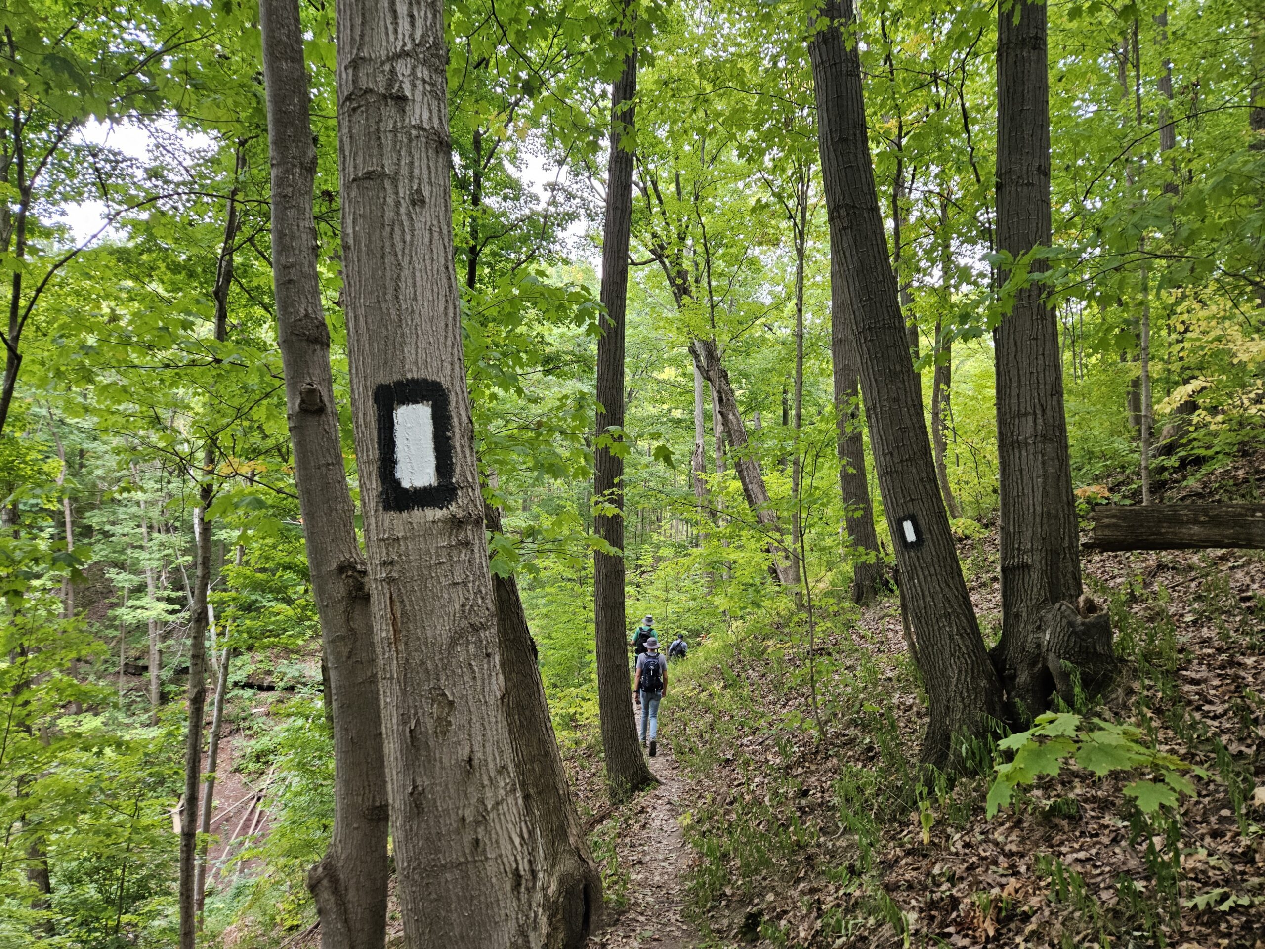
** This hike is meant for hikers taking the Bus from Kipling Subway only. **
Car Hike: #2/7 Iroquoia Bruce Trail End-to-End - 16 KM
https://hikes.brucetrail.org/event/car-hike-2-7-iroquoia-bruce-trail-end-to-end-16-km/Sorry, the registration cut-off time for this hike has been reached.Not a member? Click here to join today!Hosting Club: Toronto
Category: Car Hike
Location (Google Maps): KM2.2@Beamer Memorial Conservation AreaHike Leader(s): Alina Lin
Pace: Brisk (4-5 km/hr)
Terrain: Challenging, Flat, Hilly, Level 2 (Intermediate – some hills and uneven surfaces, rocks and roots underfoot), Rocky, Variable
Distance: 16 kmDescription
It’s time for the fall colors—and no autumn feels complete without a hike on the Bruce Trail.This is the 2nd hike of an End-to-End series covering the entire Iroquoia Bruce Trail section. The full section stretches over 120 kilometers from Grimsby to Milton. I am using Map Edition 29 to plan the hikes, and so please note that kilometer markings may not be fully up to date, and actual hiking distances may vary slightly.
Meeting Point:
KM2.2. Beamer Memorial Conservation Area. Enter from Quarry Rd, which intersects with Ridge Rd W just west of Beamers Falls. 43.188540, -79.573428. Please arrive before 8:45am to allow time for car shuttle coordination.We will car shuttle to KM18.2 on Oakridge Dr. off Green Rd, south of King St (at the Oakridge Drive Access Trail). GPS: 43.213943, -79.742417. The group will then hike from KM18.2 back to KM2.2.
All drivers are expected to participate in the car shuttle, either before or after the hike. All hikers are expected to chip in for parking fees, if applicable. The activity option for after hike is to pick grapes at Lipsitt Orchards.
Important Notes:
- Wear sturdy hiking footwear and dress appropriately for the weather
- Bring snacks, lunch, and at least 1.5L of water
- No dropouts available.
- No pets.
Geology Hike #13 Kemble Wetlands/Rock Reserve loop hike
https://hikes.brucetrail.org/event/geology-hike-13-kemble-wetlands-rock-reserve/Sorry, the registration cut-off time for this hike has been reached.Not a member? Click here to join today!Hosting Club: Sydenham
Category: Geology Hike
Location (Google Maps): Park roadside where Cole’s Sideroad meets Taylor Sideroad, just north of Concession 20. Coles Sideroad is accessed via Concession 20 between Wolseley (Grey Road #17) and Kemble.
Map 34 (31st edition) near km. 136.9Hike Leader(s): Carol Graham-Mullin Click here to contact Hike Leader(s)
Pace: Leisurely: 3 km/h or less
Terrain: Easy: Mostly flat and good footing., Moderate: Some hills and/or poor footing, Strenuous: Hilly with steep climbs and some poor footing., There might be muddy sections.
Distance: 6 kmDescription
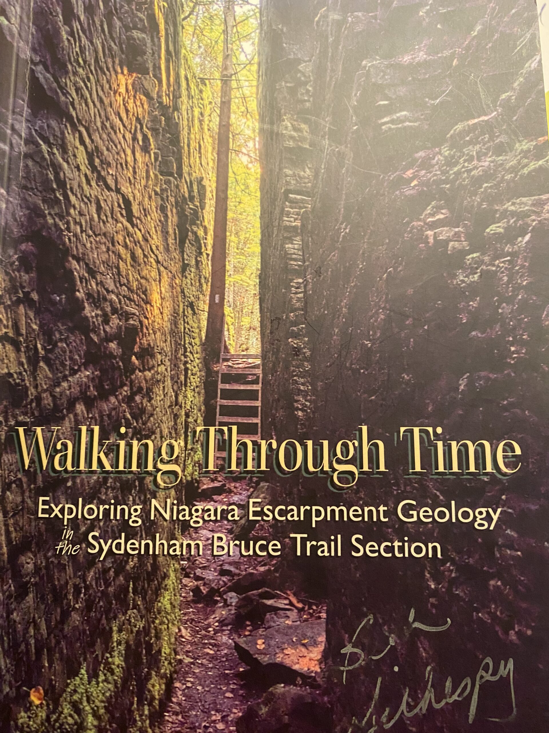
This large BTC nature reserve is geologically rich, with several layers of Escarpment rock, cliffs, fossils and glacial erratics, plus some interesting signs of pioneer settlement. Join Carol to explore this large intact and healthy ecosystem. Copies of Beth’s book “Walking Through Time Exploring in the Sydenham Bruce Trail Section” will be available to purchase at the end of the hike. Cash or e-transfer only.PULL and PLANT!
https://hikes.brucetrail.org/event/pull-and-plant/Sorry, the registration cut-off time for this hike has been reached.Not a member? Click here to join today!Hosting Club: Niagara
Category: Event Hikes
Location (Google Maps): Thirty Road, Grimsby, just down from Ridge Rd
Parking is available in the triangle at the intersection of Thirty Road & Ridge Road.Hike Leader(s): Michele Altobelli Click here to contact Hike Leader(s)
Pace: Medium 3- 4 km/hr
Terrain: Moderate: some hills and some poor footing
Distance: Not a long hike (2-4km)Description
This event is to work on removing invasive honeysuckle from the BTC Thirty Mile Creek Nature Reserve off Thirty Road in Grimsby. We will also be planting 40 native shrubs to restore biodiversity in the understory where invasive honeysuckle has been removed in previous years.
We will meet for 10 am at the designated parking area at the intersection of Thirty Road & Ridge Road East and walk in together.
Invasive honeysuckle removal methods depend on size – small being pulled by hand and hung on tree branches by the roots to dry out, medium sized pulled through the use of extractigators (special shovel like tools that help pry out the small shrubs) & large having to be cut with chain saws. We will only be tackling small and medium shrubs on this day, leaving the larger ones to be cut by work crews on another date. We hope to have many volunteers on site and we will tackle this area in one day/one work party per year.Join us at 10:00 am and stay as long as you can – it’s an easy walk out for those that just want to work for an hour or two. If you plan on staying longer, pack a lunch & don’t forget lots of water, long pants, long sleeves, work gloves & sturdy footwear.
Volunteers make a difference – come out and join us for a fun work day!- Students under 16 MUST be accompanied by a parent/guardian on this hike (please refer to the BTC link https://brucetrail.org/wp-content/uploads/2022/06/VOL.05.01_Minors_Volunteering_Policy_-_Approved_February_2016.pdf )
- 16 or more but under 18? Bring a waiver signed by a guardian.
- students wishing to receive community service hours (4Hours max) must bring service forms from school.
- Please wear clothes for work – long pants tucked into socks, appropriate footwear (no sandals), long sleeves and work gloves
NRNC Traditional Pow Wow
https://hikes.brucetrail.org/event/nrnc-traditional-pow-wow-dewaeo-charity-lacrosse-tournament/Sorry, the registration cut-off time for this hike has been reached.Not a member? Click here to join today!Hosting Club: Niagara
Category: Event Hikes
Location (Google Maps): Niagara Regional Native Centre, 382 Airport Rd. Niagara On The LakeHike Leader(s): Angela Lytle Click here to contact Hike Leader(s)
Distance: n/a
Description
Come visit our table while attending the Niagara Regional Native Centre’s Nurturing Our Roots traditional pow wow at their headquarters at 382 Airport Rd, Niagara-on-the-Lake, ONA wonderful opportunity to learn about First Nations cultures, community, and traditions with powerful dances, songs, stunning regalia, traditional foods, and a vibrant marketplace of Indigenous vendors.
Please note that this is not a hike – just an invitation to come and to visit our NBTC table with the other vendors and community groups and enjoy the events.
If you wish to hike before attending the Pow Wow, sign up for Robin’s urban hike in NOTL (check the hike schedule) and join us at the Pow Wow afterward.
Please read the information available on the NRNC’s website to learn more.
If it is your first time attending a Pow Wow, the website has important information on protocols and what you can expect: https://nrncpowwow.info
Note that the location was changed from Butler’s Barracks to the NRNC at 382 Airport Rd, Niagara-on-the-Lake, ON and the Lacrosse tournament originally planned has been postponed.
Urban Walk: Humber River/Swansea Theatre Hike
https://hikes.brucetrail.org/event/urban-walk-humber-river-swansea-theatre-hike/Sorry, the registration cut-off time for this hike has been reached.Not a member? Click here to join today!Hosting Club: Toronto
Category: Urban Walk
Location (Google Maps): Meet by the TTC Stop on the Southeast Corner of Scarlett Road and Eglinton Avenue West. Take the #79 Scarlett Road bus from Runnymede Station to Eglinton or the Eglinton West #32A from Eglinton West Station to Scarlett Road.Hike Leader(s): Miriam Stevens Click here to contact Hike Leader(s)
Pace: Leisurely (2-3 km/hr)
Terrain: Variable, Level 1 (Easy – mostly on flat, well maintained trails with hard-packed surface)
Distance: 10-12 kmDescription
Leisurely hike (3 kms/hour – No Racers Please) suitable for beginners and families.
Hike along the Humber River trail and into the Swansea village at Runnymede road and Bloor street west. The hike will end opposite Runnymede Subway near the Village Playhouse Theatre and local restaurants and pubs. Distance may vary according to the weather and trail conditions and how people feel. Early dropout is possible at Old Mill Subway Station.After the hike you may choose to join us for dinner at around 6 PM at Ali Baba Mediterranean restaurant or at a nearby pub.
We will attend the play “Bus Stop”at 8 PM at The Bloor West Village Players theatre, 2190 Bloor Street West, Toronto.
Call the Theatre directly at (416) 767 7702 to reserve your ticket, cost $26- $29.00. Please do mention that you’re with the Bruce Trail Conservancy, Toronto Club so they know we are supporting them.Anyone is welcome to join us for the hike only, join us for the theatre performance, or, join us for all three: Hike, Dinner and play. Paid parking is available off Kennedy Avenue north of Bloor Street West (behind the Village Playhouse Theatre building). There is no parking available at the start of the hike.
Mindfulness Hike Series 1/3
https://hikes.brucetrail.org/event/mindfulness-hike-series-1-3/Sorry, the registration cut-off time for this hike has been reached.Not a member? Click here to join today!Hosting Club: Peninsula
Location (Google Maps): Bruce Trail parking lot at the end of Rush Cove Rd.
Hike Leader(s): Beige McIntosh Click here to contact Hike Leader(s)
Pace: Leisurely (2.0 – 3.0 km/h): A relaxed pace with frequent breaks and a focus on enjoyment.
Terrain: Easy: Flat forested sections or lowland trails.
Distance: 2 kmDescription
Join us for the first Mindfulness Hike of the series. On this hike we will enjoy hiking short and beautiful loop which ends on the Rush Cove shoreline looking out over Georgian Bay. It will be a leisurely hike on gentile terrain and we will sit in silence the shoreline at the end of the hike.To assist us in quieting our minds, this will be an unplugged hike, meaning you will be required to leave your phone behind but the hike leader will bring a (powered off) cellphone in case of emergency. At various points in the hike we will explore sensory meditations, hiking in silence and witnessing the world around us.
Everyone is welcome, no prior meditation or hiking experience necessary. To allow time to slow down mindfully, we will be out for approximately 90 minutes.
Hike 2 in this series will take place on Oct. 5th as part of Bruce Trail Day. Follow this link for registration: https://hikes.brucetrail.org/event/mindful-walk-in-nature-mciver-pond-3/2025-10-05/