
The BTC office will be closed on Mon. Oct. 12 for the holiday. Thank you for your understanding.
Hike Schedule
Join us for a hike! Registration required.
All hikes available to BTC members. Some hikes are open to non-members.
See Refund Policy for Paid Hikes >
TIP: The calendar view displays up to 7 hikes on a day, but often there are more. Click “View more events” to see them all.
Niagara
Iroquoia
Toronto
Caledon Hills
Dufferin Hi-Land
Blue Mountains
Beaver Valley
Sydenham
Peninsula
All Clubs
Show Filters
Categories
Reset Filters
- 14September 14, 2025
Merrit island loop
https://hikes.brucetrail.org/event/merrit-island-loop-4/Sorry, the registration cut-off time for this hike has been reached.Not a member? Click here to join today!Hosting Club: Niagara
Category: Loop
Location (Google Maps): Meritt Island at foot of Cross Street. North end in park.Hike Leader(s): Sylvia Wheeler Click here to contact Hike Leader(s)
Pace: Medium
Terrain: Easy
Distance: 10 kmDescription
Hike the trail along the banks of the Welland Canal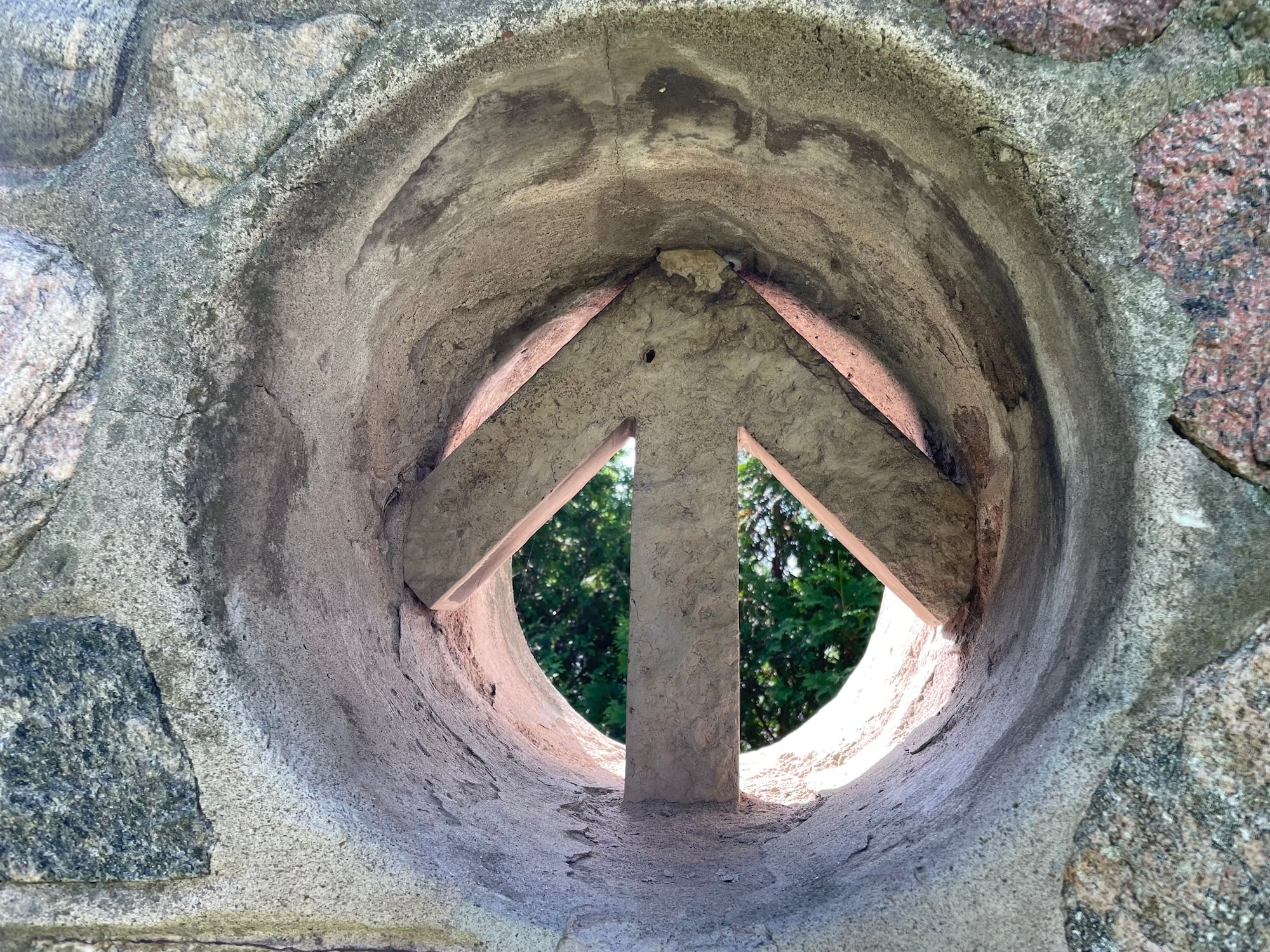
Hiking 101 - Sept 14, 21 & 28, 2025
https://hikes.brucetrail.org/event/hiking-101-sept-14-21-28-2025/Sorry, the registration cut-off time for this hike has been reached.Not a member? Click here to join today!This is a Multi-Day Hike
You are signing up for the following dates and times:
2025-09-14 at 11:00
2025-09-21 at 11:00
2025-09-28 at 11:00Hosting Club: Niagara
Category: Register
Location (Google Maps): Sept 14, Queenston
Sept 21, Woodend
Sept 28, KinsmenHike Leader(s): Margaret Northfield Click here to contact Hike Leader(s)
Pace: Medium
Terrain: Easy
Distance: 4-5kmDescription
Hiking 101 is an introductory course for novice hikers, members and non-members alike. If you want some guidance on where to begin, what to wear, and what to take along, this is the course for you. The course is 3 Sunday afternoon sessions with a combination of workshop/Q& A followed by short hikes along the trail. Dress in weather appropriate clothing and wear good walking shoes.Time: 11:00 am – 1:30pm
Meeting locations: Sunday, Sept 14- Queenston Heights Park, Niagara River Pkwy, near the Bruce Trail CairnN 43.157826 W 79.052045, Paid parking.
Sunday, Sept 21- Woodend Conservation Area, Taylor Rd, Niagara-on-the-Lake, N43.148280, W79.156708
Sunday Sept 28 – Kinsmen Park, Frost Rd. Lincoln, N43.146108, W79.475609
Registration is Members $30, Non-Members $40. Upon completing the three sessions, you will receive a FREE tube scarf ($15 value)
Hike Training Team:
Margaret Northfield, Diane Marlatt, Jim Arcangeletti & Ken Martin
- 15September 15, 2025
Scotsdale Farm - Silver Creek Loop
https://hikes.brucetrail.org/event/scotsdale-farm-silver-creek-loop/Sorry, the registration cut-off time for this hike has been reached.Not a member? Click here to join today!Hosting Club: Iroquoia
Category: General Hike
Location (Google Maps): Scotsdale Farm Main Parking LotHike Leader(s): Pati Greenwood, Jeff Dowsett Click here to contact Hike Leader(s)
Pace: Medium – 3 to 4 km/hr
Terrain: Moderate – Some hills and/or some poor footing
Distance: 14 kmDescription
From the Scotsdale Farm parking lot, we will hike the main trail and side trails in Silver Creek Conservation area for a 14k loop. The terrain through this area can be tricky with uneven footing and rough, rocky areas. Wear sturdy footwear and clothing appropriate to conditions. Insect repellent is recommended. Bring a snack and plenty of water.Please arrive at 8:15 am as well will leave promptly at 8:30 am.
- 16September 16, 2025
8:00 Long Hike Wiley Road Short Hills
https://hikes.brucetrail.org/event/800-long-hike-wiley-road-short-hills-13/Sorry, the registration cut-off time for this hike has been reached.Not a member? Click here to join today!Hosting Club: Niagara
Location (Google Maps):
Short Hills Wiley Road Entrance
Pace: Medium
Terrain: Moderate
: 10kmDescription
Explore Short Hills and the majestic side trails of Scarlett Tanager, Hemlock. Swayze Falls and Terrace. Register for each hikeBring Poles, Sun Screen Bug Spray, snack, and dress for the weather
Urban Walk: Valley View Park Thornhill
https://hikes.brucetrail.org/event/urban-walk-valley-view-park-thornhill-102/Sorry, the registration cut-off time for this hike has been reached.Not a member? Click here to join today!Hosting Club: Toronto
Location (Google Maps): Parking lot is off Sycamore Drive East of Bayview , across Starbucks plaza
Bus 91 from Finch east station stops at Sycamore station.Hike Leader(s): Mohammad Aghamiri Click here to contact Hike Leader(s)
Pace: Moderate (3-4 km/hr)
Terrain: Hilly, Level 2 (Intermediate – some hills and uneven surfaces, rocks and roots underfoot), Variable
Distance: 7-8 kmDescription
We will explore Valleyview and Maple View parks, and walk along German Mill Creak, in return we stop in Huntington park and have snack under beautiful shed ,Even it is considered Urban walk, it is urban hike as we have some up and down hills and tree roots, please bring your hiking poles, water and snacks,
phone number for the day of hike 289 588 6482
Bighead Valley to Massie Hills
https://hikes.brucetrail.org/event/bighead-valley-to-massie-hills/Sorry, the registration cut-off time for this hike has been reached.Not a member? Click here to join today!Hosting Club: Sydenham
Category: General Hike
Location (Google Maps): Meet at Roadside Parking on 4th Concession S., where the Bighead River crosses the road. If you are coming from Owen Sound, drive East on Grey Rd 18. Turn south at the Bognor Marsh parking lot and follow Concession 4 South for about 4.5 km to the parking spot. This is a one way hike, but I will drop a car at the end before we start, so there won’t be a car shuttle. Please arrive at the hike start at 8:45 so we can start hiking promptly at 9.Hike Leader(s): Fran Turner Click here to contact Hike Leader(s)
Pace: Medium: 3 to 4 km/h
Terrain: Strenuous: Hilly with steep climbs and some poor footing.
Distance: 7.5 kmDescription
We start in the Bighead River Valley and follow the lowlands west until the trail starts to climb. There is one very steep hill which is 500 m long, and it provides a fun but challenging climb. The rest of the trail travels along the top of the escarpment with some scenic views to the south. We finish the hike with a short loop in the Massie Hills Forest.9:15 Short hike - Pelham Road, Short Hills
https://hikes.brucetrail.org/event/915-short-hike-pelham-road-short-hills-14/Sorry, the registration cut-off time for this hike has been reached.Not a member? Click here to join today!Hosting Club: Niagara
Location (Google Maps): Pelham Road entrance, Short Hills Provincial Park
Hike Leader(s): janet davey Click here to contact Hike Leader(s)
Pace: Medium
Terrain: Moderate
Distance: 6 kmsDescription
Hike the main and sidetrails in Shorthills Provincial Park. Please wear hiking boots, bring water and insect repellant. Check yourself for ticks following the hike.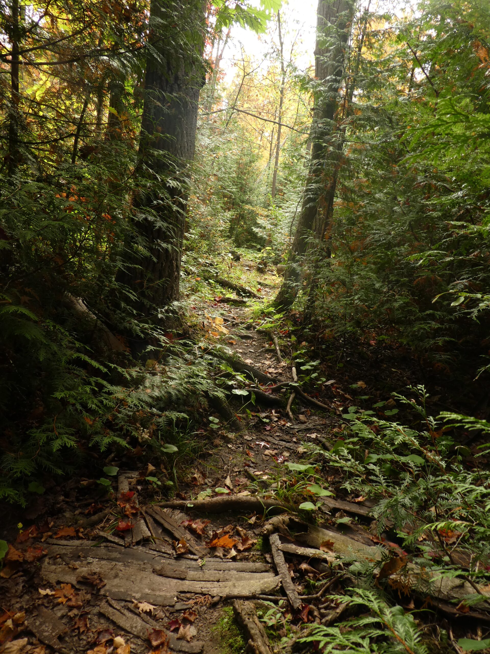
Speyside to Vanderleck ST return
https://hikes.brucetrail.org/event/speyside-to-vanderleck-st-return/Sorry, the registration cut-off time for this hike has been reached.Not a member? Click here to join today!Hosting Club: Iroquoia
Category: General Hike
Location (Google Maps): Meet at the Speyside Pear Tree parking lot on 15 Side Road at 9:15 am.Hike Leader(s): Karen Bergmann Click here to contact Hike Leader(s)
Pace: Medium – 3 to 4 km/hr
Terrain: Moderate – Some hills and/or some poor footing
Distance: 8 kmsDescription
We will hike the main trail from Speyside, to the Al Shaw ST, Hilton Falls ST and onto the Vanderleck ST up to 17 Side Road and then return the same way. There are some very technical (rocky) sections on this hike but no major hills. Bring bug spray/bug net and a snack, as needed.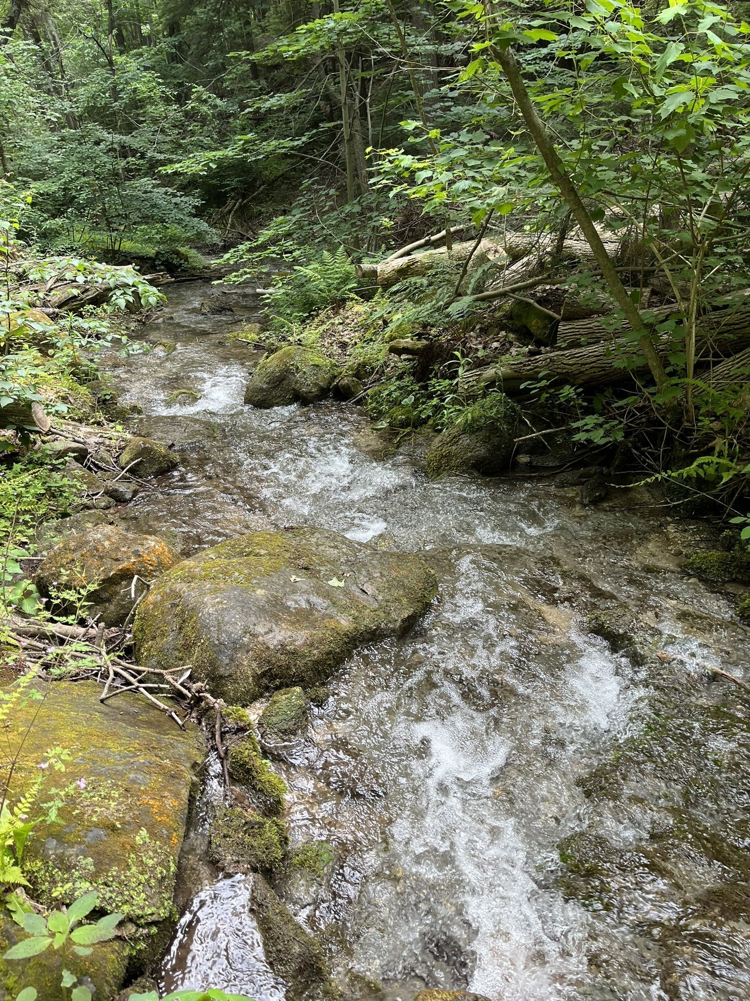
Peter Beecham Side Trail
https://hikes.brucetrail.org/event/peter-beecham-side-trail-3/Sorry, the registration cut-off time for this hike has been reached.Not a member? Click here to join today!Hosting Club: Dufferin Hi-Land
Category: Tuesday Hike
Location (Google Maps):(Google Maps) Caledon Hills Section, Map 18. Meet at roadside parking on 4th Line East, Mono 1.5 km north of 5 Sideroad.
Hike Leader(s): Tony Evangelista, Les Babbage, Inge Eckerich, Julie Daley Click here to contact Hike Leader(s)
Pace: Leisurely
Terrain: Moderate
Distance: Long Hike 5 km Short Hike 2.7 kmDescription
From roadside parking at km 54.9, we will hike west via the Peter Beecham Side Trail and Main Trail until we reach 3rd Line EHS. At this point, we will retrace our steps and return to the parking lot, connecting with the Griffith Ravine Side Trail at Km 56.2 along the way.For a shorter trip, hikers can join the Griffith Ravine Side Trail at km 56.2 and return to the parking lot. (2.7 km hike)
Bring water, snacks, and sunscreen. Hiking poles are recommended.
- 17September 17, 2025

Sydenham Fundraiser End to End in Eight Days Sept 17 - Badge Hike - Sept 24/25 7:45am Please read all details for this hike before registering.
https://hikes.brucetrail.org/event/sydenham-fundraiser-end-to-end-in-eight-days-sept-17-sept-24-25-745am-please-read-all-details-for-this-hike-before-registering/Sorry, the registration cut-off time for this hike has been reached.Not a member? Click here to join today!This is a Multi-Day Hike
You are signing up for the following dates and times:
2025-09-17 at 08:00
2025-09-18 at
2025-09-19 at
2025-09-20 at
2025-09-21 at
2025-09-22 at
2025-09-23 at
2025-09-24 atHosting Club: Iroquoia, Sydenham
Category: Stained Glass Badge End to End Fundraiser Hike
Location (Google Maps): Bruce Trail Parking Lot on East side of Grey Rd 12Hike Leader(s): Ruth Moffatt Click here to contact Hike Leader(s)
Pace: Brisk – 4 to 5 km/hr
Terrain: Dependent on Conditions, Moderate – Some hills and/or some poor footing, Strenuous – Hilly with steep climbs and some poor footing
Distance: The entire section is about 175km which will be split over 8 continuous days. Approx. 20-25km per dayDescription
Welcome to Sydenham Bruce Trail Club – This end to end will cover the entire section over 8 days. While the section is approx 175km in length, there are about 50km on road, mostly backroads.Overview
This is a special series of 8 hikes to complete the Sydenham section of the Bruce Trail. The organization, guidance, logistics and the Hart’s Tongue stained glass badge, designed by Joe Borges is included in your fee. Proceeds support the Sydenham Bruce Trail Club which in turn supports the Bruce Trail Conservancy mission to “Preserving a ribbon of wilderness, for everyone, forever.”
For this E2E in 8, we will be following the main trail southbound from Wiarton eventually finishing in Blantyre. Please note that you are signing up for the entire series of 8 hikes as a Group Hike. The Sydenham in 8 ETE is geared to experienced long distance hikers with the expectation of a 3 to 5.0 km/ hr. pace maintained over a 20km plus day. The section is approximately 175km so daily distances will be based on available parking. No dropout points have been established and therefore hikers who must drop out, will be responsible for their own transportation back to their vehicle. Please note that transportation back to your vehicle is very limited in this section. We will hike at a steady pace but there will be plenty of time to take pictures and to enjoy the flora and fauna of this beautiful section. This particular set of 8 hikes is intended to be Moderate/Brisk. Please be honest about your degree of physical fitness and abilities prior to registration. It is a group hike so it is important you are able to keep pace with the person in front of you.
Attire and Daily Hikes.
Hikers will be expected to be wearing proper hiking boots and layered clothing with the expectation of cool or warm and possibly wet weather. Sufficient food and at least 2l of water for a full day of hiking is required as well as hiking poles (if you use them), and wet weather gear is strongly recommended. Bug spray is also suggested. Clothing adjustments, bio-breaks are as needed. Please let the sweep person know and they will wait for you. A morning break around 10am and a 10-15 minute on-trail lunch break will be scheduled. An afternoon break will be based on our expected finish time. Depending on weather conditions, these times may vary. Everyone must carry a First Aid kit.
Missing Hikes/Making-up Hikes
This is a group hike and it is intended that all participants plan to attend each day. If you intend to participate in the entire 8 days but absolutely must miss one day, you may self-complete this day on your own and still qualify for the stained glass badge. You must make the day up prior to finishing the hike. Since this is a car shuttle hike, please ensure your vehicle is car shuttle ready for 4 other passengers. All participants will be expected to take turns either driving to the start or driving the drivers back at the end of the day. Carpooling to our meeting spot with 2 people in the car is generally ok but we would like to minimize and equalize the driving/shuttling as much as possible so it is fair for all participants.
Parking Fees
Some parking locations might require paid parking. The fee for this E2E-in-8 does not include any parking/entry fees for hikers. These costs, where applicable, will be shared amongst all participants unless you have a parking or park pass.
Leave No Trace
Please remember, like all hikes, this is a Leave No Trace hike. Pack out whatever you pack in. Do not toss anything onto or into any sections of the trail. We will also try to leave the trail better than we found it so we will be collecting any trail trash along the way if there is any.
Dogs will not be welcome on this hike.
Accommodations
It is strongly recommended you make reservations for accommodations for this hike if you are participating from out of town. Accommodations can be made anywhere but Owen Sound has many motels to choose from as well as the KOA Campground. It is pretty central to the northern and the southern sections of the Sydenham section of trail. If you would like a roommate, I can share your email with any other registered participants who are also looking for shared accommodations. Please let me know.
Daily
We meet for each hike by at least 7:45am each day. A schedule for meeting and start locations will be sent to each participant in May. We will hike southerly each day. The schedule is subject to change.
First day of hiking is Sept 17 – last day is Sept 24.
WEDNESDAY WALKERS - Kimberley Forest
https://hikes.brucetrail.org/event/wednesday-walkers-kimberley-forest-3/Sorry, the registration cut-off time for this hike has been reached.Not a member? Click here to join today!Hosting Club: Beaver Valley
Location (Google Maps): Park in the lower parking lot of the Beaver Valley Ski Club, near the Valley Crossover Side Trail. From there, a few vehicles will be needed to shuttle to our starting point on Sideroad 7A.
Hike Leader(s): Margaret Yaraskavitch Click here to contact the hike leader.
Pace: Medium
Terrain: Moderate, Some rocky footing, Some steep sections
Length of Hike: 5 kmDescription
After shuttling to Sideroad 7A, our hike begins as we walk through the BTC’s Kimberley Springs Nature Reserve, which includes beautiful Bill’s Creek. We also see the Stone Foundation Side Trail. After returning to the Main Trail, we then take the Kimberley Forest Side Trail. The Kimberley Forest is a beautiful multi-use and multi-trail area. Much of the walk is downhill as it finishes at the base of Beaver Valley Ski Club.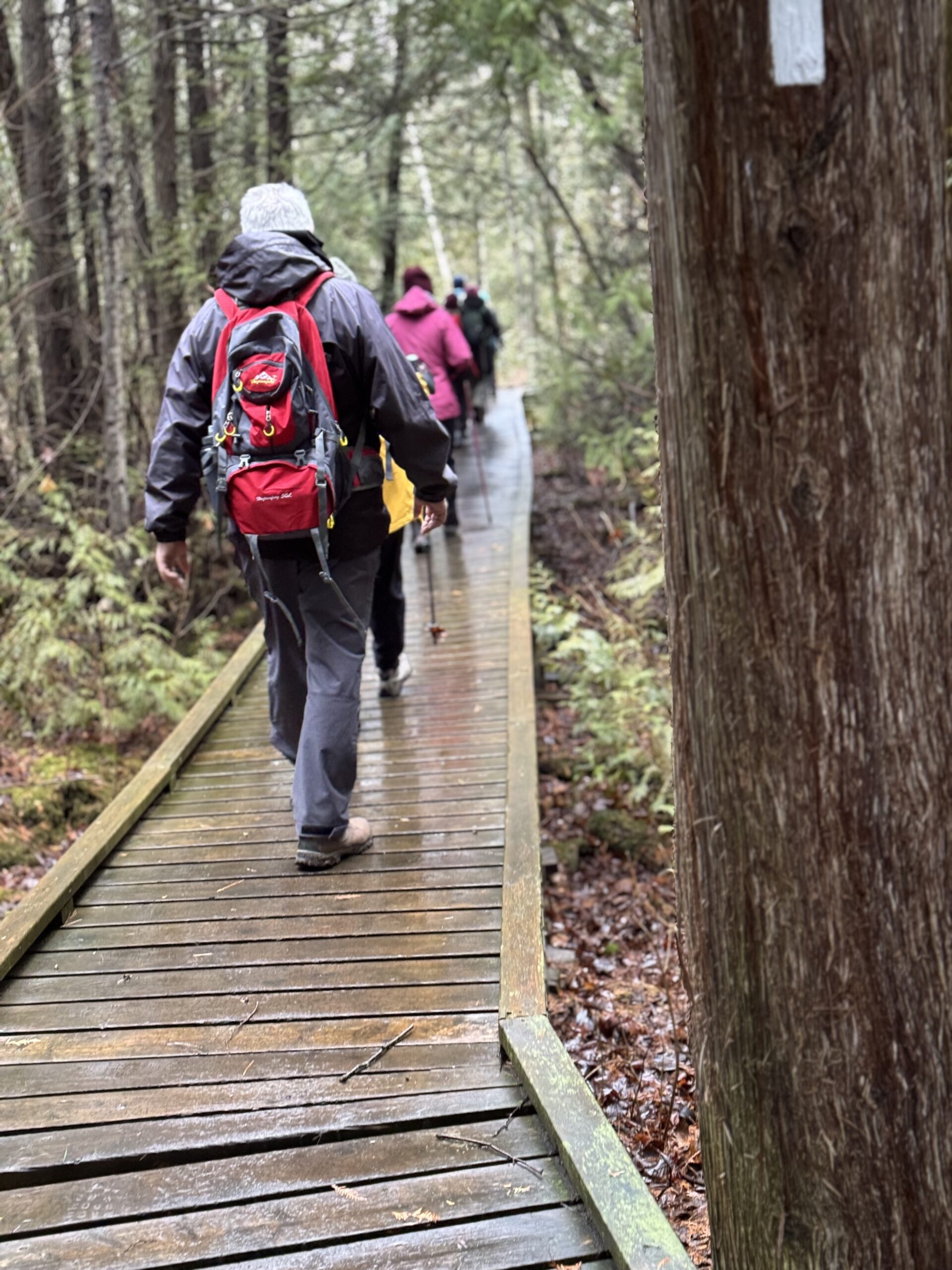
To the Pits and Back
https://hikes.brucetrail.org/event/to-the-pits-and-back/Sorry, the registration cut-off time for this hike has been reached.Not a member? Click here to join today!Hosting Club: Iroquoia
Category: Good Companions
Location (Google Maps): KilbrideHike Leader(s): Anne Armstrong Click here to contact Hike Leader(s)
Pace: Leisurely – 3km/hr or less
Terrain: Moderate – Some hills and/or some poor footing
Distance: Approx. 7 km.Description
Join us in hiking this lovely section of trail between Kilbride Park and the Calcium Pits on Twiss Rd. The trail goes through pleasant woodland, past the remains of rock fences left from pioneer times, through some rocky areas and past the old calcium pits. Meet behind Kilbride Public School near the tennis courts at 9:45 am. for a 10:00 am. start. Bring water, a snack, sunscreen and insect repellent. I will send out an email a few days before with my cell number.11:00 am Hike & Picnic
https://hikes.brucetrail.org/event/1100-am-hike-picnic-3/Sorry, the registration cut-off time for this hike has been reached.Not a member? Click here to join today!Hike open to BTC Members only.
Hosting Club: Niagara
Category: Loop
Location (Google Maps):Locust Grove Picnic Area
Hike Leader(s): Marion Hanover Click here to contact Hike Leader(s)
Pace: Medium
Terrain: Moderate
Distance: 7 kmDescription
Hike around Queenston area. Optional outdoor gathering in Locust Grove including pot luck picnic after the hike. - 18September 18, 2025
8:00 am Long Hike Cave Spring Conservation Area
https://hikes.brucetrail.org/event/800-am-long-hike-cave-spring-conservation-area-12/Sorry, the registration cut-off time for this hike has been reached.Not a member? Click here to join today!Hosting Club: Niagara
Location (Google Maps):
Cave Spring Conservation Area
Pace: Medium
Terrain: Moderate
: 10kDescription
This will be our permanent Thursday Location until Bridge repairs complete. From Cave Spring Conservation Area explore the trail network on the escarpment towards Kinsman Park and Moyer Road.You must register for each hike. Bring Poles, snack bug spray, sunscreen and a drink. Dress for the weather
Niagara Stained Glass Fundraising Hikes
https://hikes.brucetrail.org/event/niagara-stained-glass-fundraising-hikes/Sorry, the registration cut-off time for this hike has been reached.Not a member? Click here to join today!This is a Multi-Day Hike
You are signing up for the following dates and times:
2025-09-18 at 08:30
2025-09-19 at 08:30
2025-09-25 at 08:30
2025-09-26 at 08:30Hosting Club: Niagara, Beaver Valley
Location (Google Maps): Meet east of km 18.5, on the north side of Glendale Ave, 50 m east of the Welland Canal, N43.145572, W79.191214
Hike Leader(s): Glenda Collings Click here to contact the hike leader.
Pace: Medium
Terrain: Moderate
Length of Hike: 18.5 kmDescription
This is a series of 4 hikes to earn the Niagara Bruce Trail Stained Glass Fundraiser badge. Please arrive at 8:15 a.m. each day ready to shuttle to the start of our hikes. Please be prepared to be asked to take a turn shuttling hikers. Our first hike meets east of km 18.5, on the north side of Glendale Ave, 50 m east of the Welland Canal, N43.145572, W79.191214. Once registrations are complete I’ll send out details for the other hikes. Be aware that these are medium paced hikes, 3 to 4 km /hr, sometimes a bit faster on flat stretches, sometimes a bit slower on hills. Self evaluate whether this hike is for you as we will be hiking together as a group at this pace. As always bring sufficient water, food, insect and sun protection, dress appropriately for the weather. Life happens, so you can make up one hike if you need to miss one. My contact info, text or call 519 695 7691 or email g60collings@gmail.com. Looking forward to hiking with you! GlendaAs this is a fundraiser there are no refunds.
Urban Walk: Valley View Park Thornhill
https://hikes.brucetrail.org/event/urban-walk-valley-view-park-thornhill-103/Sorry, the registration cut-off time for this hike has been reached.Not a member? Click here to join today!Hosting Club: Toronto
Location (Google Maps): Parking lot is off Sycamore Drive East of Bayview , across Starbucks plaza
Bus 91 from Finch east station stops at Sycamore station.Hike Leader(s): Mohammad Aghamiri Click here to contact Hike Leader(s)
Pace: Moderate (3-4 km/hr)
Terrain: Hilly, Level 2 (Intermediate – some hills and uneven surfaces, rocks and roots underfoot), Variable
Distance: 7-8 kmDescription
We will explore Valleyview and Maple View parks, and walk along German Mill Creak, in return we stop in Huntington park and have snack under beautiful shed ,Even it is considered Urban walk, it is urban hike as we have some up and down hills and tree roots, please bring your hiking poles, water and snacks,
phone number for the day of hike 289 588 6482
Hiking Around Jordan
https://hikes.brucetrail.org/event/hiking-around-jordan-32/Sorry, the registration cut-off time for this hike has been reached.Not a member? Click here to join today!Hosting Club: Niagara
Location (Google Maps): 3640 Glen Road, Jordan LOR 1SO
Hike Leader(s): Bill Russell Click here to contact Hike Leader(s)
Pace: Medium
Terrain: Moderate
Distance: 7 kmDescription
Hikng in and around Jordan including Jim Rainforth Trail, trail to Jordan Village and the Bailey Bridge and trail to Balls FallsMeltwater Moraine and Songbird Nature Reserve
https://hikes.brucetrail.org/event/meltwater-moraine-and-songbird-nature-reserve/Sorry, the registration cut-off time for this hike has been reached.Not a member? Click here to join today!Hosting Club: Dufferin Hi-Land
Category: General Hike
Location (Google Maps): Roadside parking on Mountainview Road at the Mountainview Road Access Trail. (Mountainview Road between Escarpment Side Road and Charleston Side Road). Rough GPS coordinates below.Hike Leader(s): Stuart Law Click here to contact Hike Leader(s)
Pace: Medium
Terrain: Moderate
Distance: 15 kmsDescription
Join us on a there and back hike taking in the new BTC property at Meltwater Moraine, the Songbird Nature Reserve and the Paris Moraine Side Trail. Please bring 2.5L of water, lunch, sunblock, bug spray and a smile. - 19September 19, 2025
Coach Trip: Sept 19 to 21 Saugeen Peninsula Hiking Weekend
https://hikes.brucetrail.org/event/coach-trip-sept-19-to-21-saugeen-peninsula-hiking-weekend/Sorry, the registration cut-off time for this hike has been reached.Not a member? Click here to join today!Trip Information
Departure Time: 07:00
Return to City Time: 19:30
Departure Point: York Mills Bus PickupTrip Activities
Fast hike (15 km +)
Moderate hike (about 12 km)
Optional ItemsHosting Club: Toronto
Category: Coach Trips
Location (Google Maps): Evergreen Resort, Red BayHike Leader(s): Martina Furrer, Roland Mark, George Lennon and Tim Wainwright Click here to contact Hike Leader(s)
Pace: Moderate (3-4 km/hr)
Terrain: Challenging, Hilly, Level 3 (Advanced – steep hills and some scrambling over boulders), Rocky
Distance: Moderate group about 12 km, fast group 15 km +Description
Please contact Evergreen Resort to ensure they have accommodation for your before you book your seat on the coach.Join us for three days of guided hiking on the beautiful Saugeen Peninsula. Spend your days on the Bruce Trail and your evenings at Evergreen Resort overlooking Lake Huron.
We will explore the Skinner’s Bluff, Cape Crocker, Hope Bay, Barrow Bay, Lion’s Head, and/or Cape Chin areas. Hikes will be up to 15 km (dropouts will not be possible) with lots of awesome views. Expect some strenuous climbs, some challenging footing over boulders and crevasses, and some exposed sections. These hikes are not suitable for people who are afraid of heights. All fit, experienced hikers comfortable walking on this type or terrain are welcome. There will be a moderate group and a fast group; both will do full day hikes with no dropouts. Please note: The Peninsula section is rugged. There will not be a sight seeing group or other activities for non-hikers.
Accommodation is in one-, two-, and three-bedroom cottages (linens, bedding, and towels provided). Each cottage has a full bathroom, fridge, and heater. The resort has a hot tub and a private beach perfect for viewing sunsets. Cost is $370.75 per person (plus taxes and gratuity extra). This includes two nights’ accommodation, two dinners, two breakfasts, and two boxed lunches.
Coach fare is $180 for members, $200 for non-members, and $110 for children.
Registration instructions:
Please reserve your cottage and your seat on the coach at the same time.
- Call Evergreen Resort at 519-534-1868 to book your cottage. You will need to find roommates/cottagemates. There are no single hotel rooms.
- To reserve your seat on the bus, register here starting on Friday June 20 at 7 AM.
Cancellation policy: While we are hoping for sunshine, the trip cannot be cancelled due to weather. Coach fare is non-refundable.
Our coach will depart at 7 AM on Friday September 19. We plan to be back in Toronto between 7 and 8 PM on Sunday September 21. Departure locations: 10 York Mills Rd and HWY 400 and Major Mackenzie Park and Ride.
Boyne Valley Provincial Park Loop
https://hikes.brucetrail.org/event/boyne-valley-provincial-park-loop/Sorry, the registration cut-off time for this hike has been reached.Not a member? Click here to join today!Hosting Club: Iroquoia, Dufferin Hi-Land
Category: General Hike
Location (Google Maps): Boyne Valley Provincial Park – parking lot on Prince of Wales Drive 80 metres south of Prince of Wales Side TrailHike Leader(s): Pati Greenwood, Jeff Dowsett Click here to contact Hike Leader(s)
Pace: Medium – 3 to 4 km/hr
Terrain: Moderate – Some hills and/or some poor footing
Distance: 13 kmDescription
We will hike BT side trails and the main trail for 13K loop. This hike will feature some steep climbs and more moderate terrain. We will meet at the parking lot on Prince of Wales Drive just south of the Prince of Wales Side Trail. Dress for weather conditions, keeping in mind that insects, including ticks, will still be active. Bring plenty of water and a snack. Please arrive by 8:15 am as we will eave promptly at 8:30 am.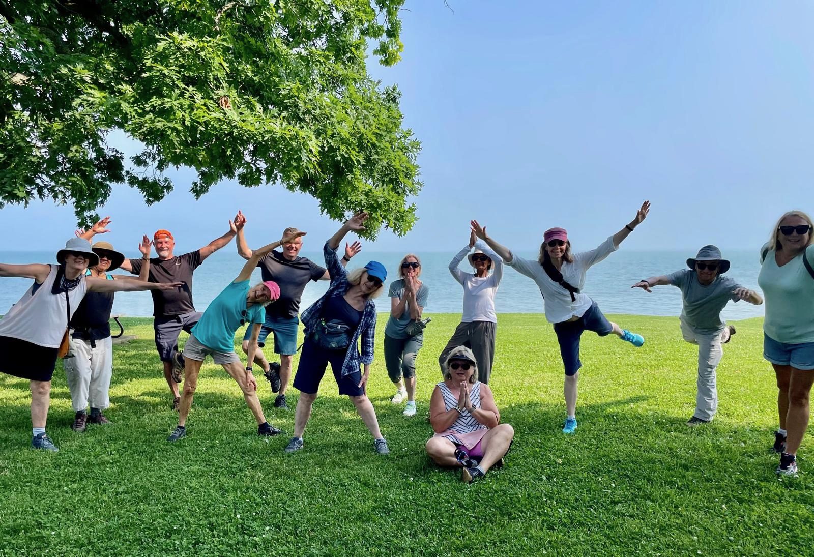
9:00 am Niagara on the Lake Tour & Some Yoga
https://hikes.brucetrail.org/event/900-am-niagara-on-the-lake-tour-some-yoga-6/Sorry, the registration cut-off time for this hike has been reached.Not a member? Click here to join today!Hosting Club: Niagara
Category: Urban
Location (Google Maps):Veteran’s Memorial Park, park just outside the park on King St.
Hike Leader(s): Robin Garrett Click here to contact Hike Leader(s)
Pace: Medium
Terrain: Easy
Distance: 6 kmDescription
Enjoy the benefits of pausing for a yoga practice as we tour through the trails, parkland and Historic Niagara-on-the-Lake. No mat required. Movement will focus on a flow of standing poses designed especially for hikers. Plan to stay for conversation and a warm cup of coffee or tea at Sweets & Swirls, Community Centre, Niagara Stone Road, NOTL.Scotsdale Farm to Limehouse
https://hikes.brucetrail.org/event/scotsdale-farm-to-limehouse/Sorry, the registration cut-off time for this hike has been reached.Not a member? Click here to join today!Hosting Club: Dufferin Hi-Land
Category: General Hike
Location (Google Maps): Limehouse CA parking lot off Fifth Line. See Google Maps link for GPS coordinates.Hike Leader(s): Stuart Law Click here to contact Hike Leader(s)
Pace: Medium
Terrain: Moderate
Distance: 14 kmsDescription
Join us on a shuttle hike from Scotsdale Farm to Limehouse on a beautiful Fall day. We will take in the new Main Trail reconfiguration as well as several side trails. Please bring a garbage bag and a change of footwear for the shuttle, 2L of water, a snack, a lunch and a smile. Please be ready to shuttle at 9:30 am sharp.
Kilbride to Twiss Rd return - Afternoon Hike
https://hikes.brucetrail.org/event/kilbride-to-twiss-rd-return-afternoon-hike-2/Sorry, the registration cut-off time for this hike has been reached.Not a member? Click here to join today!Hosting Club: Iroquoia
Category: Afternoon/Evening Hikes
Location (Google Maps): Meet in the parking lot behind the school in Kilbride at 4:15 pmHike Leader(s): Karen Bergmann Click here to contact Hike Leader(s)
Pace: Medium – 3 to 4 km/hr
Terrain: Moderate – Some hills and/or some poor footing
Distance: 6.5 kmsDescription
Meeting in the parking lot behind the Kilbride School, we will hike along the main trail to Twiss Road and turn around and hike back. There is some technical footing near the Twiss Road end of the trail, but otherwise this is a fairly easy hike. Bring bug spray/bug net and water. - 20September 20, 2025

Iroquoia Club End-to-End – 4 days (Two concurrent weekends)
https://hikes.brucetrail.org/event/iroquoia-club-end-to-end-4-days-two-concurrent-weekends/Sorry, the registration cut-off time for this hike has been reached.Not a member? Click here to join today!This is a Multi-Day Hike
You are signing up for the following dates and times:
2025-09-20 at 07:00
2025-09-21 at 07:00
2025-09-27 at 07:00
2025-09-28 at 07:00Hosting Club: Iroquoia
Category: Special Event
Location (Google Maps): Two different bus loading locations (one for each wknd) will be provided to registered hikers only. Unregistered hikers who show up will not be permitted to board the buses.Hike Leader(s): Parvinder Sachdeva Click here to contact Hike Leader(s)
Pace: Brisk – 4 to 5 km/hr
Terrain: Dependent on Conditions
Distance: 122km (30-35 each day) – Self-paced with checkpoint deadlinesDescription
Please join us for the annual Iroquoia Bruce Trail Club self-paced End-to-End. You can enjoy and complete the entire club distance of 122 km over four days (approximately 30-35km each day).**NEW THIS YEAR: We will have an all new End-To-End badge in 2025**
Please be honest about your physical abilities. These 4 days are not recommended for new hikers or anyone who hasn’t completed these distances recently.
The registration fee is non-refundable.The hikes will traverse the varied and often strenuous terrain from Grimbsy in the south, to the 401 in Milton. You will pass many waterfalls and beautiful vistas. Checkpoint stations will be approximately every 10 km offering snacks, water refill, and assistance. Please bring your own First Aid Kit.
The hike is $95 for members and $110 for non-members and includes bus transportation from the meeting point to the hike starting point, refreshments, parking, permit costs, and the official E2E badge. The fee is non-refundable. After costs, the proceeds go to the Iroquoia Bruce Trail Club who support The Bruce Trail Conservancy mission of “Preserving a ribbon of wilderness, for everyone, forever.”
Registration opens at 8am on March 29, 2025 for Bruce Trail Conservancy members only. You may be a member of any club. If any spots are still available after the first two weeks, registration will also be opened for non-members at a cost of $110.
Details will be emailed to participants once registration is received. As mentioned, these are longer hikes and are not suitable for beginning hikers. For both events, hikers are expected to maintain an average pace of 4 km/hr (or more). Hikers will be required to reach each checkpoint on each day by a prescribed time in order to continue, and ensure everyone is off the trail before dark. Please be aware that volunteers are running this event and will be waiting.
Space is limited, hikes go rain or shine, and no dogs are permitted on this event. For questions, please use the contact hike leader form available through the link on this page.
Car Hike: Glasgow village Uxbridge 205
https://hikes.brucetrail.org/event/car-hike-glasgow-village-uxbridge-4/Sorry, the registration cut-off time for this hike has been reached.Not a member? Click here to join today!Hosting Club: Toronto
Location (Google Maps): Glasgow Trail, Concession Road 2 Park in parking lot at the trail head.
From Highway 404 turn right to Stouffville Rd, till to the end of road and turn left on York Durham line in About 1km turn right to Webb Rd. and turn right to Concession Road 2 ,you will see parking lot in 500 meters
Hike Leader(s): Mohammad Aghamiri Click here to contact Hike Leader(s)
Pace: Moderate (3-4 km/hr)
Terrain: Hilly, Level 2 (Intermediate – some hills and uneven surfaces, rocks and roots underfoot), Variable
Distance: 14-15 kmDescription
Lets explore Goodwood conservation area and visit Secord forest and pondApproximately 5-hour hike, bring lots of water
Mulmur Lookout to Oliver Creek Loop
https://hikes.brucetrail.org/event/mulmur-lookout-to-oliver-creek-loop/Sorry, the registration cut-off time for this hike has been reached.Not a member? Click here to join today!Hosting Club: Dufferin Hi-Land
Category: General Hike
Location (Google Maps): Park at 19.4km Map 20 Dufferin Hi-LandHike Leader(s): Susan Bate Click here to contact Hike Leader(s)
Pace: Brisk
Terrain: Moderate
Distance: Approx 13kmDescription
Fall colours will be underway as we hike up the main trail towards 8th SD and continue north. We’ll hike the Oliver Creek ST loop, one of my favourite properties, and retrace our steps back to the start. Look forward to seeing your smiles at 8:45 with snack, water, and appropriate footwear/clothing.
Car Hike: #1/7 Iroquoia Bruce Trail End-to-End - 19 KM
https://hikes.brucetrail.org/event/car-hike-1-7-iroquoia-bruce-trail-end-to-end-19-km/Sorry, the registration cut-off time for this hike has been reached.Not a member? Click here to join today!Hosting Club: Toronto
Category: Car Hike
Location (Google Maps): Roadside parking on Kimerly Dr.Hike Leader(s): Alina Lin
Pace: Brisk (4-5 km/hr)
Terrain: Challenging, Flat, Hilly, Level 2 (Intermediate – some hills and uneven surfaces, rocks and roots underfoot), Variable
Distance: 19 kmDescription
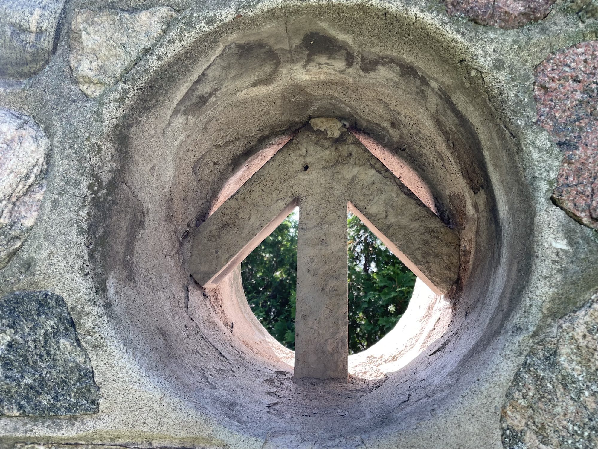
It’s time for the fall colors—and no autumn feels complete without a hike on the Bruce Trail.This is the first hike of a End-to-End series covering the entire Iroquoia section of the Bruce Trail. The full section stretches over 120 kilometers from Grimsby to Milton. I am using Map Edition 29 to plan the hikes, and so please note that kilometer markings may not be fully up to date, and actual hiking distances may vary slightly.
Meeting Point:
KM29.5. Roadside parking on Kimerly Dr. Hamilton. GPS: 43.227607, -79.813513. Please arrive before 8:45am to allow time for car shuttle coordination.We will car shuttle to KM46.7, the starting point of the hike at Dundas Valley Conservation Parking lot(paid parking lot) on Artaban Rd, 180 m north of Lion’s Club Rd. GPS: N 43.240974, W 79.975582.
The group will then hike from KM46.7 back to KM29.5. We will add a bit fun by climbing up and down the Wentworth Steps Side Trail, a set of 498 steel steps.
All drivers are expected to participate in the car shuttle, either before or after the hike. All hikers are expected to chip in for the parking fees.
Important Notes:
- Wear sturdy hiking footwear and dress appropriately for the weather
- Bring snacks, lunch, and at least 1.5L of water
- No dropouts available.
- No pets.
Queenston Loop
https://hikes.brucetrail.org/event/queenston-loop-4/Sorry, the registration cut-off time for this hike has been reached.Not a member? Click here to join today!Hosting Club: Niagara
Category: Loop
Location (Google Maps): Meet in Locust Grove, Niagara River Parkway, QueenstonHike Leader(s): Margaret Northfield Click here to contact Hike Leader(s)
Pace: Medium
Terrain: Moderate
Distance: 9-10kmDescription
We will be hiking down the escarpment into the village of Queenston. After touring around Queenston we will be heading back up the escarpment to Queenston Heights Park. Mixture of trail and road walking.Challenge Hike: 5th Ln EHS to Mono Community Centre
https://hikes.brucetrail.org/event/car-hike-fifth-line-ehs-to-mono-community-centre/Sorry, the registration cut-off time for this hike has been reached.Not a member? Click here to join today!Hosting Club: Caledon Hills
Category: General
Location (Google Maps): Hockley Rd. and 5th Line EHS, north of km 51.8 on the east side of 5th Line EHS, just south of the Hockley Rd. (NOT THE MAIN HOCKLEY VALLEY PP PARKING)Hike Leader(s): Dylan Hubbard Click here to contact Hike Leader(s)
Pace: Brisk – 4 to 5 km/hour, Fast – 5+ km/hour
Terrain: Strenuous – hilly with steep climbs and some poor footing
Distance: 21 kmDescription
🚐 Shuttle Required 🚐Are you looking for a challenge? Training for an end-to-end, or just love a bit of self-inflicted suffering? You’ve come to the right place.
To prep for fall and winter hiking season, I’ll be posting more intense hikes—this one will push you. We’ll cover 21 km at a fast pace, starting from 5th Line EHS, through Hockley Valley, and finishing at Mono Community Centre. Expect steep climbs and rolling hills.
⚠️ This is a brutal hike. Please be honest about your abilities—there are no drop-out points. Once we start, you’ll need to keep up.
We’ll need drivers to help with shuttling: from Mono CC down to 5th Line EHS, and then back for vehicle pickup.
Start time is 9:00 AM SHARP.
Unless the forecast is over -50°C, this hike goes—rain or shine.
Looking forward to suffering with you. 😈
Beaver Valley Geology Hike Badge #7/8 hikes Wodehouse Karst (Northern Route):
https://hikes.brucetrail.org/event/beaver-valley-geology-hike-badge-7-8-hikes-wodehouse-karst-northern-route/Sorry, the registration cut-off time for this hike has been reached.Not a member? Click here to join today!Hosting Club: Blue Mountains
Category: Organized Hike
Location (Google Maps): Tim Horton’s, First Street, CollingwoodHike Leader(s): Annette Sandberg Click here to contact Hike Leader(s)
Pace: Leisurely – 3 km/hr. or less, Brisk – 4 to 5 km/hr
Terrain: Moderate – Some hills and/or some poor footing
Distance: 5 kmDescription
Barn Foundation on Stone Foundation Side Trail at Stop 6 (Pages 95- 97) Barn Foundations are wonderful places to see many different rock types, including the Escarpment’s Fossil Hill Dolostone layer, which is full of coral and other fossils.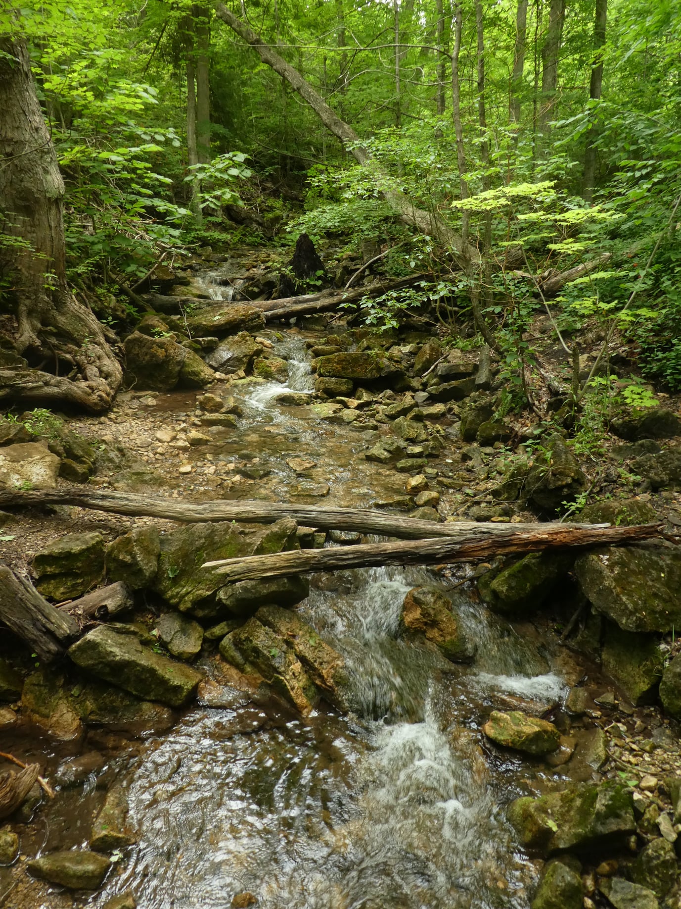
Scotsdale Farm Duff Pit loop
https://hikes.brucetrail.org/event/scotsdale-farm-duff-pit-loop/Sorry, the registration cut-off time for this hike has been reached.Not a member? Click here to join today!Hosting Club: Iroquoia
Category: General Hike
Location (Google Maps): Meet in the main parking lot at Scotsdale Farm.Hike Leader(s): Karen Bergmann Click here to contact Hike Leader(s)
Pace: Medium – 3 to 4 km/hr
Terrain: Moderate – Some hills and/or some poor footing
Distance: 9 kmsDescription
There are so many trails here that it’s hard to choose where to go. But this hike will take us down the main trail to the Side Trails of Duff Pit, Reservoir, Trafalgar Rd and Great Esker to the main trail and Maureen Bennett Side Trail and finishing on the Bennett Heritage Trail. Bring bug spray/bug net and plenty of water.Car Hike; Scotsdale Farm
https://hikes.brucetrail.org/event/car-hike-scotsdale-farm-15/Sorry, the registration cut-off time for this hike has been reached.Not a member? Click here to join today!Hosting Club: Toronto
Category: Car Hike
Location (Google Maps): Scotsdale Farm, Map 13Hike Leader(s): Al Brown Click here to contact Hike Leader(s)
Pace: Moderate (3-4 km/hr)
Terrain: Level 2 (Intermediate – some hills and uneven surfaces, rocks and roots underfoot), Variable
Distance: 10 kmDescription
Join us for an early fall loop hike on the main and Bennet side trails. Fall colours should be beginning to appear.After the hike all are invited to a refreshment stop in Georgetown.
Merrit island loop
https://hikes.brucetrail.org/event/merrit-island-loop-5/Sorry, the registration cut-off time for this hike has been reached.Not a member? Click here to join today!Hosting Club: Niagara
Category: Loop
Location (Google Maps): merritt island end of cross street in park. NOT library.Pace: Medium
Terrain: Easy
Distance: 11 kmDescription
We will do a loop around Meritt island and cross the railway tracks.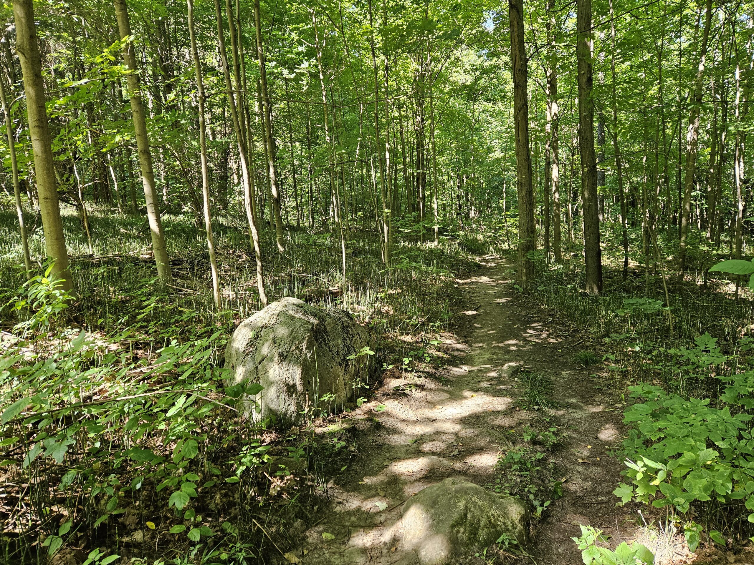
Saturday Shorts: Glen Haffy
https://hikes.brucetrail.org/event/saturday-shorts-glen-haffy-5/Sorry, the registration cut-off time for this hike has been reached.Not a member? Click here to join today!Hosting Club: Caledon Hills
Category: General
Location (Google Maps): Meet at the roadside parking on Coolihans Sideroad, km 35.0 Map 17, near where the Trail crosses the road. This is just west of the intersection of Glen Haffy Road and Coolihans Sideroad (even though the GPS coordinates are showing just to the east). It is best to aim for arriving around 10:15, so we can start hiking as close to 10:30 am as possible. Thanks!Hike Leader(s): Elizabeth Ganong Click here to contact Hike Leader(s)
Pace: Leisurely – 3 km/hour or less
Terrain: Moderate – some hills and/or some poor footing
Distance: Approximately 6 kmDescription
Looking to get out on a Saturday but not give up your whole day? This Glen Haffy hike might be the one for you! We’ll hike the main Bruce Trail and conservation trails to make an approximately 6 km route. The pace will be a relaxed one, so you can enjoy the sights and sounds of fall in the forest. Consider the following in your preparations: a hat, a jacket, insect repellent, sunscreen, hiking boots/shoes, poles. You are encouraged to bring water and a snack as there will be a short break. No dogs please. You can expect a reminder/update message one or two days before the hike.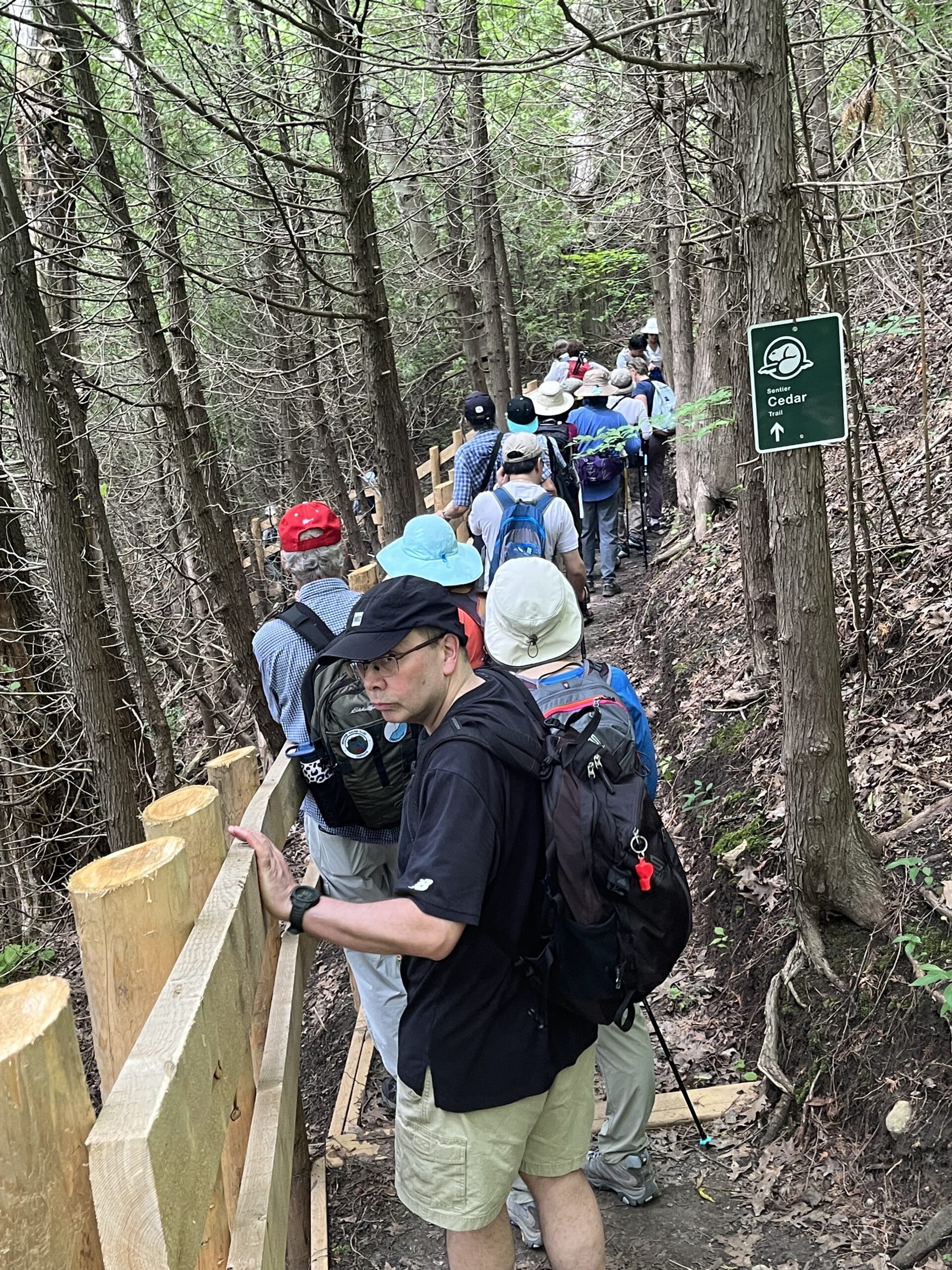
Urban Walk; Rouge Park
https://hikes.brucetrail.org/event/urban-walk-rouge-park-2/Sorry, the registration cut-off time for this hike has been reached.Not a member? Click here to join today!Hosting Club: Toronto
Category: Urban Walk
Location (Google Maps): Rouge National Urban Park, ScarboroughHike Leader(s): Tom Swales, Leila Damband Khameneh Click here to contact Hike Leader(s)
Pace: Moderate (3-4 km/hr)
Terrain: Hilly, Level 2 (Intermediate – some hills and uneven surfaces, rocks and roots underfoot), Variable
Distance: 10-11 kmDescription
Please join us for a September hike in Rouge National Urban Park, a unique asset right within Toronto’s boundaries. Enjoy scenic views, hopefully cooler temperatures, the large wetland area, and the trail through the Cedar Forest. Expect some “healthy” hills.The hike will start at the Toronto Zoo entrance. To get there you may meet Tom at Union Station at 9:00 am in the Great Hall by the Travaler’s Aid information desk with the clock over it. We will take the 9:21 AM Lakeshore East GO Train to Rouge Hill station and transfer to TTC Route 200 seasonal service to the Toronto Zoo (free transfer if you have a Presto Card). You may also board at any Lakeshore East/West GO station or take TTC Route #86 from Kennedy Station (approximately 42 minutes) or Route #85 from Don Mills Sation (approximately 50 minutes). Note that the Zoo Road Day area is closed for construction of a new visitor centre. The adjacent parking is lot is also closed. We will finish at the campground on Kingston Road to the south so taking public transit is recomended. Unlike most urban walks within the city limits there will be no dropout points.
Bring at least 2 liters of water, lunch, snacks, layers appropiate to the weather conditions, and rain gear (if applicable).
Note that the toilet facilities in the southern section of the park are limited to a couple “portable potties” on Park Road and the Twyn Rivers Day Use area until construction is completed.
Optional Apres-hike stop at The Black Dog Pub on Island Road.
Here is a map of the proposed route: https://onthegomap.com/s/p9ql44rs
Tree Planting at Splitrock Narrows
https://hikes.brucetrail.org/event/tree-planting-at-splitrock-narrows/Sorry, the registration cut-off time for this hike has been reached.Not a member? Click here to join today!Hosting Club: Dufferin Hi-Land
Category: Special Events
Location (Google Maps): BTC parking lot on 2nd Line EHS north of 25 Sideroad at the beginning of the Splitrock Side Trail. GPS coordinates below.Hike Leader(s): N/A Click here to contact Hike Leader(s)
Distance: N/A
Description
TD Tree Planting EventBruce Trail Conservancy and the Dufferin Hi-Land Biodiversity Committee are participating in the TD tree planting event at Splitrock Narrows on September 20.
Start time: 1:00 p.m.
Finish time: 4:00 p.m.Meet at the Splitrock Narrows Nature Reserve (Bruce Trail Conservancy) parking lot located at 755437 2nd Line EHS, Shelburne ON. For exact directions to the parking lot, google GPS Coordinates: 44.074908, -80.084144. Volunteers will direct you to park in the Bruce Trail Conservancy parking lot.
Volunteers need to be prepared for physical activity including digging, lifting, and planting, and may be asked to do other planting activities such as mulching, securing mulch mats, placing tree guards, and watering. You will have access to drinking water at the event, and we recommend that you bring a refillable water bottle to reduce waste. More details on TD registration page.
Registration Link: https://www.tdtreedays.com/en-ca/mono-splitrock-narrows-nature-reserve ONLY. Please do not register on the BTC Hike Schedule.
If you have any problems registering, contact Mara McHaffie, BTC Land Stewardship Coordinator, Ecologist mara.mchaffie@brucetrail.org