
The BTC office will be closed on Mon. Oct. 12 for the holiday. Thank you for your understanding.
Hike Schedule
Join us for a hike! Registration required.
All hikes available to BTC members. Some hikes are open to non-members.
See Refund Policy for Paid Hikes >
TIP: The calendar view displays up to 7 hikes on a day, but often there are more. Click “View more events” to see them all.
Niagara
Iroquoia
Toronto
Caledon Hills
Dufferin Hi-Land
Blue Mountains
Beaver Valley
Sydenham
Peninsula
All Clubs
Show Filters
Categories
Reset Filters
- 07September 7, 2025

Car Hike: Mulmur and Northern Boyne Valley
https://hikes.brucetrail.org/event/car-hike-mulmur-and-northern-boyne-valley/Sorry, the registration cut-off time for this hike has been reached.Not a member? Click here to join today!Hosting Club: Toronto
Category: Car Hike
Location (Google Maps): We will meet at Bruce Trail parking lot on 1st Line E.Hike Leader(s): Amir Alemohammad Click here to contact Hike Leader(s)
Pace: Moderate (3-4 km/hr)
Terrain: Hilly, Level 2 (Intermediate – some hills and uneven surfaces, rocks and roots underfoot), Rocky, Variable
Distance: 16-18Description
We will hike through the rolling hills and peaceful valleys of Mulmur and the scenic north part of Boyne Valley. The trails offer beautiful countryside views, forest paths, and fresh late-summer air.Some hills and variable terrain.
Hiking boots mandatory, poles optional. Bring at least 2L of water, snack/lunch, and dress according to the weather.
No dogs please.
The Hurricane Hazel Hike
https://hikes.brucetrail.org/event/the-hurricane-hazel-hike/Sorry, the registration cut-off time for this hike has been reached.Not a member? Click here to join today!Hosting Club: Caledon Hills
Category: General
Location (Google Maps): Meet at the parking lot at Raymore Park, GPS 43.696716, -79.515087. We will car pool from there.Hike Leader(s): Dan Revington Click here to contact Hike Leader(s)
Pace: Medium – 3 to 4 km/hour
Terrain: Moderate – some hills and/or some poor footing
Distance: Approximately 8 kmDescription
Hurricane Hazel, Canada’s “Storm of the Century”, struck in October 1954. The flooding caused widespread destruction and loss of life. Areas along the Humber River were particularly hard hit.We will follow the Humber River Recreational Trail in Weston, and hear how Hurricane Hazel turned the usually placid Humber into a raging torrent that swept away bridges, cars, houses, and people.
Bring water and a snack. Sturdy footwear is required. Some sections will be rocky, some in the bush, and some on paved surfaces. No dogs please.
Sydenham Lookout to Snake Rd
https://hikes.brucetrail.org/event/sydenham-lookout-to-snake-rd/Sorry, the registration cut-off time for this hike has been reached.Not a member? Click here to join today!Hosting Club: Iroquoia
Category: General Hike
Location (Google Maps): Meet roadside on Snake Rd where the Bruce Trail crosses the road.Hike Leader(s): Karen Bergmann Click here to contact Hike Leader(s)
Pace: Medium – 3 to 4 km/hr
Terrain: Moderate – Some hills and/or some poor footing
Distance: 9 kmsDescription
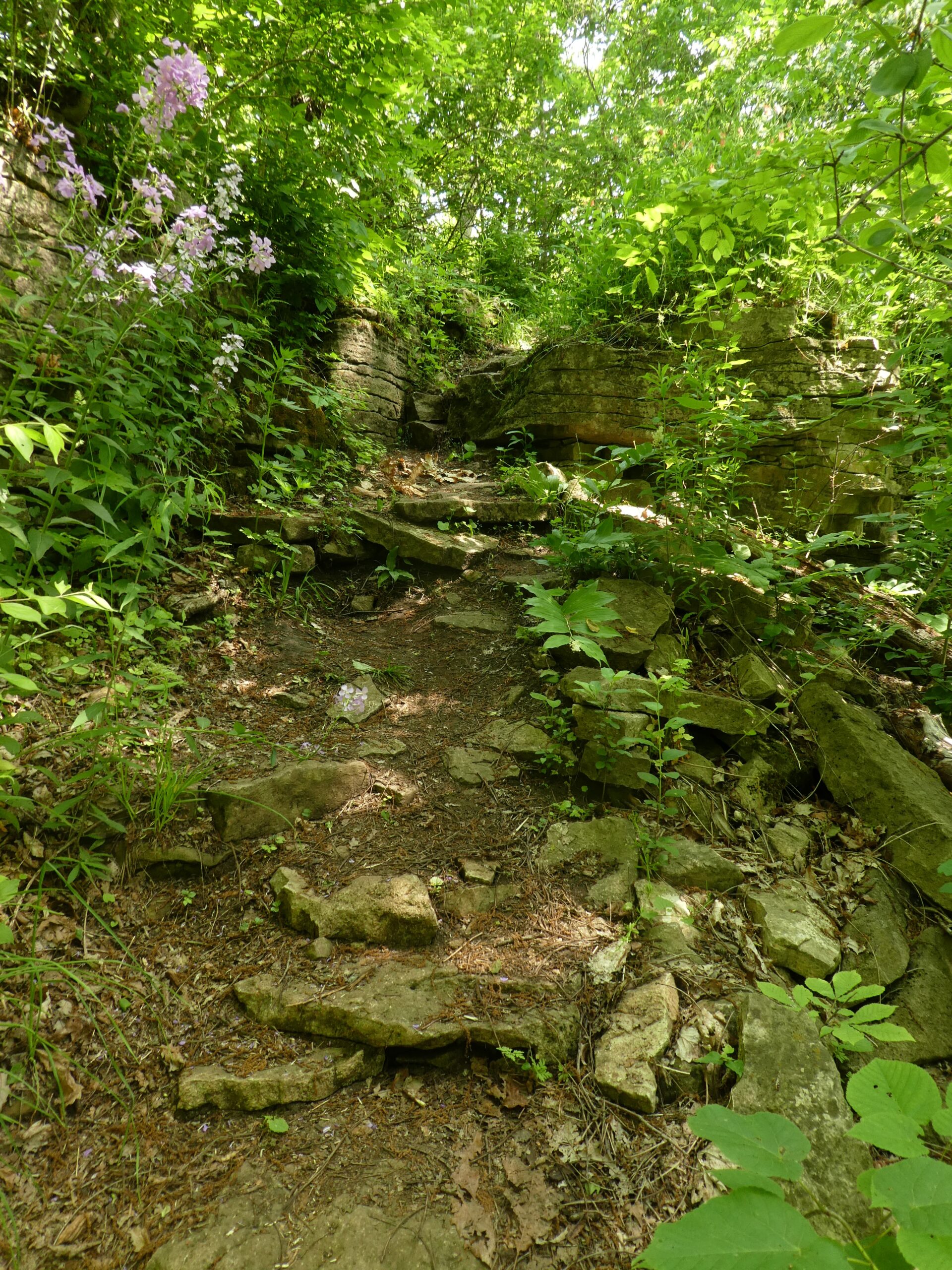
Meeting at 9:15 roadside on Snake Rd, we will carpool to Sydenham Lookout and hike back. This takes us along the main Bruce Trail, up and down a few hills, through forests, under Hwy 6 and through Clappison Woods to Snake Rd. Be prepared for a few challenges along the way, bringing bug spray/bug net and plenty of water, as well as a snack, as needed.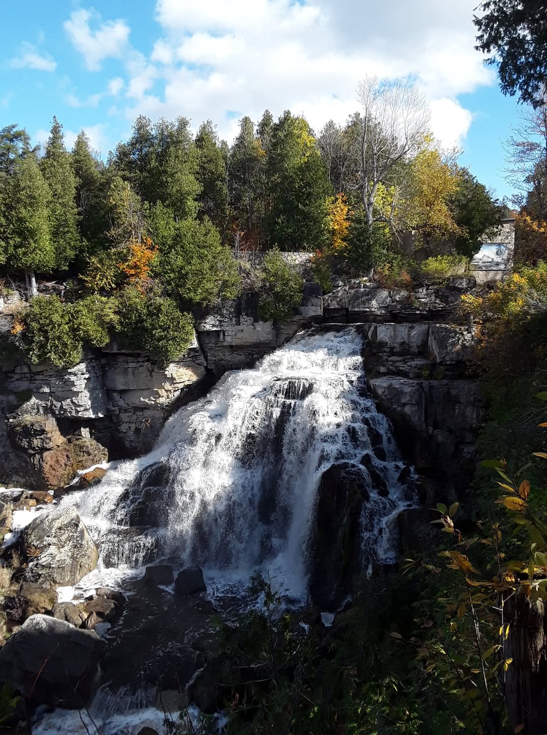
Fossils and Waterfalls in Sydenham
https://hikes.brucetrail.org/event/fossils-and-waterfalls-in-sydenham/Sorry, the registration cut-off time for this hike has been reached.Not a member? Click here to join today!This is a Multi-Day Hike
You are signing up for the following dates and times:
2025-09-07 at 09:30
2025-09-08 at 09:30
2025-09-09 at 09:30
2025-09-10 at 09:30Hosting Club: Sydenham
Category: Geology Hike
Location (Google Maps): Roadside parking on St. Vincent-Sydenham townline.Hike Leader(s): Karen Buschert Click here to contact Hike Leader(s)
Pace: Leisurely: 3 km/h or less
Terrain: Moderate: Some hills and/or poor footing
Distance: Varies, approximately 10-15 km each dayDescription
On this series of hikes, we will explore magnificent waterfalls and fascinating fossils in the Sydenham section of the Bruce Trail. Using Beth Gilhespy’s Walking Through Time geological chronicle, hikers can learn more about the origins and geological features of the Niagara Escarpment. Referred to in Anishinaabemowin (Anishinaabe language) as Gchi-Bimadinaa (The Great Cliff That Runs Along), or in Kanyen’kehá:ka (Mohawk language) as Kastenhraktátye (Along The Cliffs), the Escarpment runs like a spine from Niagara Falls up through to Manitoulin Island and beyond. These series of hikes over four days will count towards earning the Geology badge offered through the Sydenham Bruce Trail Club.Suggested accommodations: Silver Lake Mennonite Camp near Sauble Beach
slmc.ca/retreats/retreats/
Scroll to Weekday Wanders- Fossils & Falls to register
Stay in a retreat centre and be treated to home cooked meals while taking in the beauty of the local landscape. Shared or private rooms available.
Cost: $390+ HST, cost includes accommodation for 3 nights and 8 meals

2:00 pm NBTC Landowner Appreciation Celebration 2025
https://hikes.brucetrail.org/event/200-pm-nbtc-landowner-appreciation-celebration-2025/Sorry, the registration cut-off time for this hike has been reached.Not a member? Click here to join today!Hosting Club: Niagara
Category: Register
Location (Google Maps): Ball’s Falls Conservation Area – Centre for Conservation, Elgin Room – 3292 Sixth Ave. Lincoln. Park in the main parking area it is free for the event.Hike Leader(s): Sam Rutherford Click here to contact Hike Leader(s)
Description
Attention all pastry chefs and fans of the Great Canadian and British Baking Shows! Why not use your culinary skills to impress our valued landowners?We are looking for hand held treats (ex. squares, tarts, cookies, shortbreads, brownies) for our annual Landowner Appreciation Celebration. We are asking bakers to bring along some homemade sweets for 6-8 people to enjoy.
This year’s event will have a hiking theme and feature biodiversity hikes which you can sign up for on the day along with information from the biodiversity committee and BTC land stewardship. NBTC merchandise will be available for purchase at the event. Food will be provided by our creative Social Convenor Joanne and friends. Cash bar. Prize draws. Come out and say thank you to our landowners for allowing us to hike across their private properties. It’s always a fun afternoon made even more special by your desserts!

3:00 pm Biodiversity Hikes at Ball’s Falls – Landowner Appreciation Celebration
https://hikes.brucetrail.org/event/300-pm-biodiversity-hikes-at-balls-falls-landowner-appreciation-celebration-2/Sorry, the registration cut-off time for this hike has been reached.Not a member? Click here to join today!Hosting Club: Niagara
Category: Loop
Location (Google Maps): Ball’s Falls Conservation Area, Centre for Conservation, Glen Elgin Room, 3292 Sixth Ave., Lincoln. Park in the main parking area it is free for the event.Hike Leader(s): Sam Rutherford Click here to contact Hike Leader(s)
Pace: Leisurely
Terrain: Easy
Distance: 3 kmsDescription
Join us on one of these Biodiversity Hikes led by NBTC nature hike leaders & learn about the ecosystems in this area in recognition of our LANDOWNER APPRECIATION CELEBRATION! Please meet at the Glen Elgin Room and we will split into smaller groups leaving at 3:00 and 3:30 pm depending on numbers. An easy-moderate hike will go to the upper falls and an easy hike will go to the lower falls.Come for the hike but stay for the celebration! There will be food by our creative social convenor Joanne and friends, a cash bar, prize raffle, biodiversity displays, merchandise sales, and much more! This year’s event will have a hike theme. A great opportunity to meet our Niagara landowners and to say thank you for allowing us to cross their private properties.
- 08September 8, 2025
Heather & Steve's 3rd Annual Fall Cairn2Cairn - Peninsula section, Sept 8,9,10,11,15,16.17,18
https://hikes.brucetrail.org/event/heather-steves-3rd-annual-fall-cairn2cairn-peninsula-section-sept-8910111516-1718/Sorry, the registration cut-off time for this hike has been reached.Not a member? Click here to join today!This is a Multi-Day Hike
You are signing up for the following dates and times:
2025-09-08 at 07:45
2025-09-09 at
2025-09-10 at
2025-09-11 at
2025-09-15 at
2025-09-16 at
2025-09-17 at
2025-09-18 atHosting Club: Iroquoia, Peninsula
Category: General Hike
Location (Google Maps): Meet at Halfway Dump (no reservation required after Sep 2), and car pool to Tobermory to park on Harpur DrHike Leader(s): Steven White Click here to contact Hike Leader(s)
Pace: Brisk – 4 to 5 km/hr
Terrain: Strenuous – Hilly with steep climbs and some poor footing
Distance: 24.4Description
Hike the beautiful Peninsula section 163 kms over 8 days. We will meet each morning at 7:45 and be ready to shuttle at 8:00. Hikers will take turns shuttling and taking drivers to their cars each day.Hikers should wear layered clothing, hiking boots, poles, hat, sunscreen, bug spray, rain gear and bring plenty of water, snacks and lunch. We will hike rain or shine.
Full itinerary will be emailed to hikers the week before the first hike.
8:30 am Hydro Hill Training
https://hikes.brucetrail.org/event/830-am-hydro-hill-training-8/Sorry, the registration cut-off time for this hike has been reached.Not a member? Click here to join today!Hosting Club: Niagara
Category: In and Out
Location (Google Maps):Lockhart Drive, St Catharines, by the large yellow swing gate.
Hike Leader(s): Suzanne Gourluck Click here to contact Hike Leader(s)
Pace: Brisk
Terrain: Strenuous
Distance: 6 kmsDescription
This challenging “hike” is intended for those wishing to train for future challenging hikes. Choose your own pace to go up and down the moderately steep hill over 60 minutes. The terrain is a hard packed gravel surface. Feel free to bring light weights to increase the intensity of your training. Bring water, hiking poles, snack and dress for the weather.Welland Canals Badge Hike 2
https://hikes.brucetrail.org/event/welland-canals-badge-hike-2/Sorry, the registration cut-off time for this hike has been reached.Not a member? Click here to join today!Hosting Club: Niagara
Category: In and Out
Location (Google Maps): Woodend Conservation AreaHike Leader(s): Erin Lyttle Click here to contact Hike Leader(s)
Pace: Fast, Medium
Terrain: Easy
Distance: 8.5kmDescription
Meet at Woodend conservation area in the gravel parking lot. We will be doing the Welland Canals Hike #2 past the Third and present canal. Note the hike starts at 8:30am and is the 2nd in the Welland Canals badge series. If you are interested in receiving your badge after completing the 4th hike on Sept 29th, please let me know and pay in cash or via etransfer (I can give you directions on the hike) $10 for members (please provide BTC number) or $15 for non-members. Badge info: https://niagarabrucetrail.club/badges/Please wear good walking shoes (the path/trail is mostly flat), poles if you like and water/snacks.
- 09September 9, 2025
8:00 Long Hike Wiley Road Short Hills
https://hikes.brucetrail.org/event/800-long-hike-wiley-road-short-hills-12/Sorry, the registration cut-off time for this hike has been reached.Not a member? Click here to join today!Hosting Club: Niagara
Location (Google Maps):
Short Hills Wiley Road Entrance
Pace: Medium
Terrain: Moderate
: 10kmDescription
Explore Short Hills and the majestic side trails of Scarlett Tanager, Hemlock. Swayze Falls and Terrace. Register for each hikeBring Poles, Sun Screen Bug Spray, snack, and dress for the weather
Car Hike: Blue Mountains E2E, hike #1 of 3
https://hikes.brucetrail.org/event/car-hike-blue-mountains-e2e-hike-1-of-3-2/Sorry, the registration cut-off time for this hike has been reached.Not a member? Click here to join today!Hike open to BTC Members only.
Hosting Club: Toronto
Category: Car Hike
Location (Google Maps):Road side parking, Mulmur Nottawasaga Townline, at the cemetery. Coordinates N 44.268777,W 80.156810 map 21 edition 31
Hike Leader(s): Smadar junkin Click here to contact Hike Leader(s)
Pace: Brisk (4-5 km/hr)
Terrain: Challenging, Hilly
Distance: 22 kmDescription
Welcome to Blue Mountains E2E, we will hike the section in 3 days. Please register to each hike individually. We will enjoy the beautiful section and go up and down the hills. Please bring 2 litres of water, bug protection, snacks and lunch. If you need to get in touch with me, email me on my email address provided in this posting. Arrive 15 minutes early so we can shuttle by 8:30. Please note that we are shuttling to a paid parking. Everyone is expected to pay their share of the parking.Urban Walk:: Valley View Park Thornhill
https://hikes.brucetrail.org/event/urban-walk-valley-view-park-thornhill-100/Sorry, the registration cut-off time for this hike has been reached.Not a member? Click here to join today!Hosting Club: Toronto
Location (Google Maps): Parking lot is off Sycamore Drive East of Bayview , across Starbucks plaza
Bus 91 from Finch east station stops at Sycamore station.Hike Leader(s): Mohammad Aghamiri Click here to contact Hike Leader(s)
Pace: Moderate (3-4 km/hr)
Terrain: Hilly, Level 2 (Intermediate – some hills and uneven surfaces, rocks and roots underfoot), Variable
Distance: 7-8 kmDescription
We will explore Valleyview and Maple View parks, and walk along German Mill Creak, in return we stop in Huntington park and have snack under beautiful shed ,Even it is considered Urban walk, it is urban hike as we have some up and down hills and tree roots, please bring your hiking poles, water and snacks,
phone number for the day of hike 289 588 6482
9:15 Short Hike - Short Hills Park, Pelham Rd
https://hikes.brucetrail.org/event/915-short-hike-short-hills-park-pelham-rd-27/Sorry, the registration cut-off time for this hike has been reached.Not a member? Click here to join today!Hosting Club: Niagara
Category: Hike
Location (Google Maps): Pelham Rd entrance, Short Hills Provincial ParkHike Leader(s): Debbie Demizio Click here to contact Hike Leader(s)
Pace: Medium
Terrain: Moderate
Distance: ~ 6kmsDescription
Hike the main and side trails in Short Hills Provincial Park. Bring hiking boots, water, sunscreen and bug spray.Devils Pulpit; Bruce Trail Map 14
https://hikes.brucetrail.org/event/devils-pulpit-bruce-trail-map-14/Sorry, the registration cut-off time for this hike has been reached.Not a member? Click here to join today!Hosting Club: Caledon Hills
Category: Tuesday Hikers
Location (Google Maps): Going north on Highway 410 that becomes Highway 10, turn left on King Road (9), right on Mississauga Rd., right on The Grange Sideroad to the intersection with Creditview Road for parking. You may choose a different route depending upon where driving from. Consider carpooling as parking is limited.Hike Leader(s): Mohammad Shafiq Click here to contact Hike Leader(s)
Pace: Medium – 3 to 4 km/hour
Terrain: Strenuous – hilly with steep climbs and some poor footing
Distance: 6-7 kmDescription
Will hike Devils Pulpit and Ring Kiln Side Trails, including a walk around impressive ruins of lime kiln.
Although it’s a relatively short walk, going down Devils Pulpit and climbing up will make for the distance.
Bring hydration drink and snack, poles are strongly recommended.
After hike, optional refreshment stop at nearby Higher Ground cafe in Belfountain.Boyne Valley Side Trail Loop
https://hikes.brucetrail.org/event/boyne-valley-side-trail-loop/Sorry, the registration cut-off time for this hike has been reached.Not a member? Click here to join today!Hike open to BTC Members only.
Hosting Club: Dufferin Hi-Land
Category: Tuesday Hike
Location (Google Maps):Dufferin Hi-Land Section, Map 20. Meet at parking lot at end of Centre Road, south of 5 Sideroad Mulmur (just north of Km 17.6)
) at 9:30 am.Hike Leader(s): Inge Eckerich, Julie Daley, Tony Evangelista ,Les Babbage Click here to contact Hike Leader(s)
Pace: Leisurely, Medium
Terrain: Moderate
Distance: 6.3 km, Short hike: 3 kmDescription
We will hike a loop consisting of the Main Trail and Boyne Valley Side Trail. The short option will return to parking from the Boyne River bridges by way of Centre Road road allowance. Bring water and snacks.
Car hike: Exploring the Wetlands on the new routing of the Main Trail north from LImehouse
https://hikes.brucetrail.org/event/car-hike-exploring-the-wetlands-on-the-new-routing-of-the-main-trail-north-from-limehouse/Sorry, the registration cut-off time for this hike has been reached.Not a member? Click here to join today!Hosting Club: Toronto
Category: Car Hike
Location (Google Maps): Meet at Public parking across from Limehouse Public School, 11122 – 22 Side Road, Limehouse OnHike Leader(s): George Lennon and Janet Patterson Click here to contact Hike Leader(s)
Pace: Leisurely (2-3 km/hr)
Terrain: Flat, Level 2 (Intermediate – some hills and uneven surfaces, rocks and roots underfoot)
Distance: 4.3 kmDescription
Join BTC ecologist Lyndsey Wilkerson and members of the Toronto Bruce Trail Club’s Biodiversity Team on a leisurely hike to observe and learn about the wetlands along the Toronto section of the Bruce Trail. The new routing of the Main Trail north of Limehouse until it reaches Sixth Line passes over boardwalks through marsh and swamp that were, until recently, remote and not easily reachable. Such wetlands provide habitat for 70% of our province’s at-risk species. Bring your cameras and the iNaturalist app on your phone. These will enable you to record what we are going to see. Lyndsey will also be showing us the wetlands Seed Orchard that the BTC is using to help restore wetlands plant species on its lands along this part of the Niagara Escarpment. Bring your lunch, water and snacks. This hike will go rain or shine.
Walk In Nature Series (WINS) - West Rocks, Owen Sound, loop trails
https://hikes.brucetrail.org/event/walk-in-nature-series-wins-west-rocks-owen-sound-loop-trails/Sorry, the registration cut-off time for this hike has been reached.Not a member? Click here to join today!Hosting Club: Sydenham
Category: General Hike
Location (Google Maps): Parking area at the end of Concession 3, Georgian Bluffs. From the corner of Concession 3 and Grey Road 5, near Creamery HIll, drive 1.7 km north along Concession 3 to roadside parking at the end of the road.Hike Leader(s): Stewart Brown Click here to contact Hike Leader(s)
Pace: Medium: 3 to 4 km/h
Terrain: Moderate: Some hills and/or poor footing
Distance: 4 kmDescription
The Walk In Nature Series (WINS) consists of short loop hikes in the Sydenham section of the Bruce Trail that combine nature appreciation with fitness in a safe and welcoming group environment led by an experienced hike leader. Hikes normally occur twice monthly on the second Tuesday evening and the fourth Sunday morning of each month. Consider these hikes to be 90- or 120-minute reset appointments with yourself in nature that promote health and fitness. Medium paced WINS hikes are open to all ages and levels of hiking experience whether members or non-members of the Bruce Trail Conservancy (BTC).This hike, at West Rocks Management Area, loops through a network of forested trails that bring us to a panoramic lookout over Owen Sound.
Our 4 km loop takes us along West Rocks trails to Chalmers Quarry at km 98.4 , to Derby Forest Side Trail and return to parking.
Cover up for insects and vegetation, bring water and a snack, and hiking poles may be helpful.
Thanks, and see you soon.
- 10September 10, 2025
Car Hike: Blue Mountains E2E 2/3
https://hikes.brucetrail.org/event/car-hike-blue-mountains-e2e-2-3-2/Sorry, the registration cut-off time for this hike has been reached.Not a member? Click here to join today!Hike open to BTC Members only.
Hosting Club: Toronto
Category: Car Hike
Location (Google Maps):Map 22- Km 21.9, Nattawasaga Bluffs Conservation Area. Coordinates N 44.342784,W 80.210628
Hike Leader(s): Smadar Junkin Click here to contact Hike Leader(s)
Pace: Brisk (4-5 km/hr)
Terrain: Challenging, Hilly
Distance: 25 kmDescription
Second hike in the Blue Mountains E2E series. This is the longest hike of the series. Beautiful, hilly and challenging. Please bring 2litres of water. Arrive 15 minutes early. The meeting place parking is a paid parking, everyone is expected to pay their share of the parking fees. We will shuttle to km 46.8 and hike back.WEDNESDAY WALKERS - Falling Water - Graham's Hill
https://hikes.brucetrail.org/event/wednesday-walkers-falling-water-grahams-hill-3/Sorry, the registration cut-off time for this hike has been reached.Not a member? Click here to join today!Hosting Club: Beaver Valley
Location (Google Maps): Park in the small BTC parking lot on the north side of Graham’s Hill Road, just west of where the Trail crosses Graham’s Hill Road at km 74.2, Map 26, Edition 31
Hike Leader(s): Margaret Yaraskavitch Click here to contact the hike leader.
Pace: Medium
Terrain: Moderate, Some rocky footing, Some steep sections
Length of Hike: 4.2 kmDescription
This is a there-and-back hike along a varied stretch of Valley edge. Karst topography, old growth forest and streams with waterfalls are on our route as well as meadow and wild fruit trees. There are long views across the Valley.Guidelines
- Arrive 15 minutes before the start of the hike.
- Wear sturdy footwear and appropriate attire for the weather and the terrain.
Hiking poles are a good idea in any season, especially if the terrain is rocky or slippery. In winter, snowshoes or icers/crampons are needed when conditions dictate.
Wearing appropriate clothing and footwear prevents injuries and shows consideration for a safe and positive group hiking experience. - Always carry I.D. and your health card.
- Bring sufficient water and snacks (or lunch if indicated). A minimum of 1L of water is recommended on all hikes, and 3L is recommended for long, challenging hikes in the heat of the summer.
- Bring sunscreen and insect repellent (for spring and summer hikes).
- Bring your own first aid kit.
- Please leave dogs at home.
Halton Agreement Forest
https://hikes.brucetrail.org/event/halton-agreement-forest-6/Sorry, the registration cut-off time for this hike has been reached.Not a member? Click here to join today!Hosting Club: Iroquoia
Category: General Hike
Location (Google Maps): Meet at the corner of 10 Side Road and 4th Line at 9:15 am.Hike Leader(s): Karen Bergmann Click here to contact Hike Leader(s)
Pace: Medium – 3 to 4 km/hr
Terrain: Moderate – Some hills and/or some poor footing
Distance: 8 kmsDescription
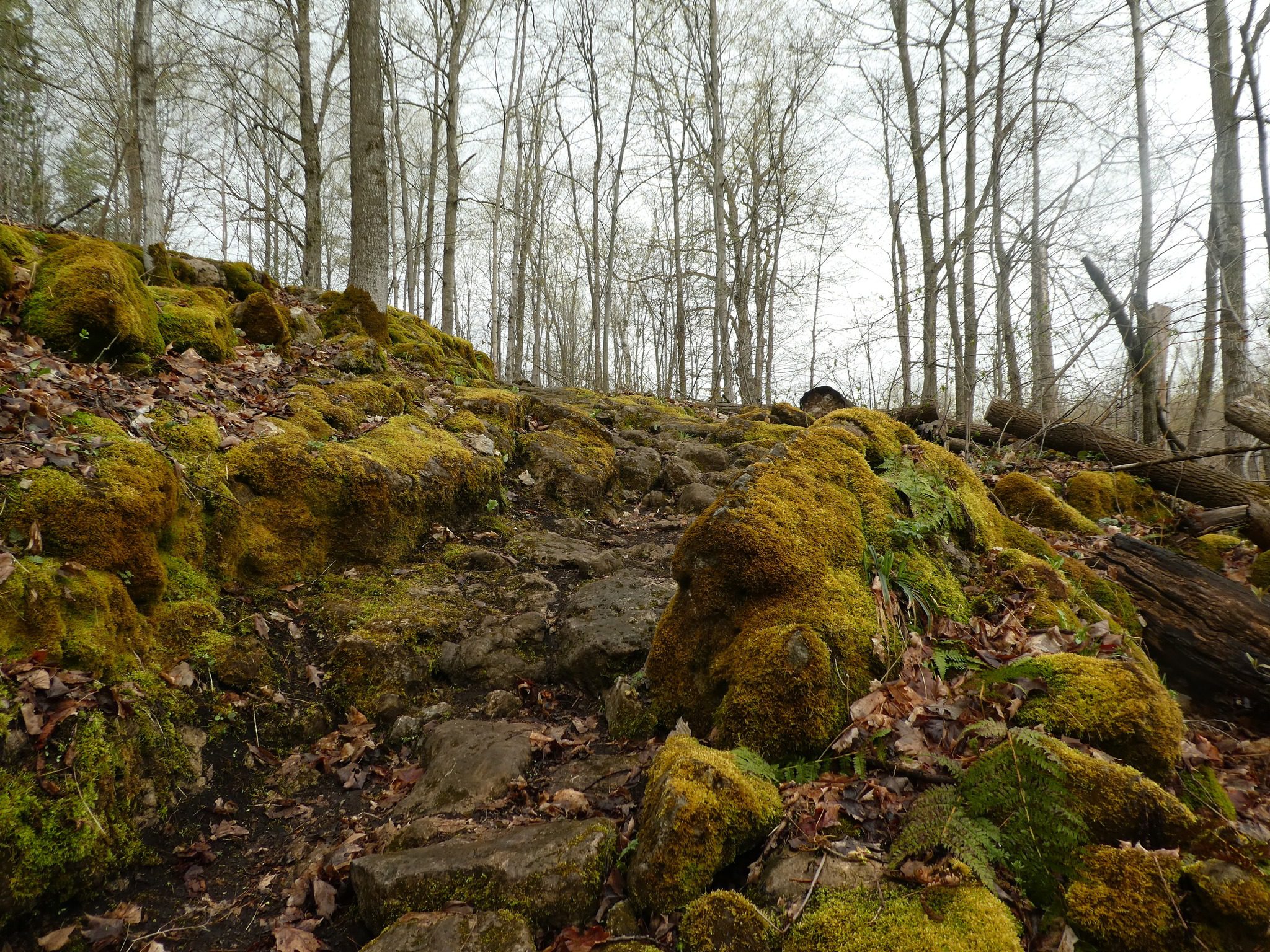
We will hike the bike trails around a big loop. Bring bug spray/bug net and plenty of water.Cootes Paradise South Shore Trails
https://hikes.brucetrail.org/event/cootes-paradise-south-shore-trails-2/Sorry, the registration cut-off time for this hike has been reached.Not a member? Click here to join today!Hosting Club: Iroquoia
Category: Good Companions
Location (Google Maps):Princess Point parking lot – see map below
Hike Leader(s): Ted Bossence Click here to contact Hike Leader(s)
Pace: Medium – 3 to 4 km/hr
Terrain: Moderate – Some hills and/or some poor footing
Distance: 7.5 kmDescription
We will walk the trails to and from the McMaster University campus on mostly good trails with a few hills along the way. Please be at the start point by 9:45 am and we will leave by 10:00 am. RBG parking pass or paid parking at Princess Point. Bring bug repellant, sunscreen, water and a snack. I will cancel in the case of rain – please check your email the evening before the hike. I will email you the day before the hike with contact information for cancellations after 3:30 pm on the day prior to the hike. - 11September 11, 2025
8:00 am Long Hike Cave Spring Conservation Area
https://hikes.brucetrail.org/event/800-am-long-hike-cave-spring-conservation-area-11/Sorry, the registration cut-off time for this hike has been reached.Not a member? Click here to join today!Hosting Club: Niagara
Location (Google Maps):
Cave Spring Conservation Area
Pace: Medium
Terrain: Moderate
: 10kDescription
This will be our permanent Thursday Location until Bridge repairs complete. From Cave Spring Conservation Area explore the trail network on the escarpment towards Kinsman Park and Moyer Road.You must register for each hike. Bring Poles, snack bug spray, sunscreen and a drink. Dress for the weather
Car Hike: Blue Mountain E2E 3/3
https://hikes.brucetrail.org/event/car-hike-blue-mountain-e2e-3-3-3/Sorry, the registration cut-off time for this hike has been reached.Not a member? Click here to join today!Hike open to BTC Members only.
Hosting Club: Toronto
Category: Car Hike
Location (Google Maps):Map # 23- North of km 46.8, 380 meters north of the main trail crossing on Pretty River Rd. Coordinated N 44.430927,W 80.275390
Hike Leader(s): Smadar Junkin Click here to contact Hike Leader(s)
Pace: Brisk (4-5 km/hr)
Terrain: Challenging, Hilly
Distance: 21Description
Hike #3 of 3. Badge day! Beautiful and hilly. This is a brisk pace hike. The pace is expected to be 4 to 4.5 km per hour. Bring 2 litres of water. Aim to get there 15 minutes early. We will shuttle to km 67.3 and walk back.
Hockley Crest Loop Hike
https://hikes.brucetrail.org/event/hockley-crest-loop-hike/Sorry, the registration cut-off time for this hike has been reached.Not a member? Click here to join today!Hosting Club: Iroquoia
Category: General Hike
Location (Google Maps): Parking Lot on Mono 5 Sideroad, on the north side where the Trail crosses.Hike Leader(s): Pati Greenwood, Jeff Dowsett Click here to contact Hike Leader(s)
Pace: Medium – 3 to 4 km/hr
Terrain: Strenuous – Hilly with steep climbs and some poor footing
Distance: 14 KMDescription
We will follow the main BT and take in several side trails to make a 14 KM hike with several loops. The footing along the route is usually good, but the terrain will include some steep climbs.The weather in September can be still be quite warm, muggy and buggy! Dress for the weather, keeping in mind that insects, including ticks, can still be in full force. Take appropriate precautions to avid insect bites, including using insect repellent and wearing clothing that covers the legs and arms. Hiking boots are required and poles are recommended.
Bring plenty of water and a snack. Please arrive by 8:15 am as we will leave promptly at 8:30 am.
Urban Walk: Valley View Park Thornhill
https://hikes.brucetrail.org/event/urban-walk-valley-view-park-thornhill-101/Sorry, the registration cut-off time for this hike has been reached.Not a member? Click here to join today!Hosting Club: Toronto
Location (Google Maps): Parking lot is off Sycamore Drive East of Bayview , across Starbucks plaza
Bus 91 from Finch east station stops at Sycamore station.Hike Leader(s): Mohammad Aghamiri Click here to contact Hike Leader(s)
Pace: Moderate (3-4 km/hr)
Terrain: Hilly, Level 2 (Intermediate – some hills and uneven surfaces, rocks and roots underfoot), Variable
Distance: 7-8 kmDescription
We will explore Valleyview and Maple View parks, and walk along German Mill Creak, in return we stop in Huntington park and have snack under beautiful shed ,Even it is considered Urban walk, it is urban hike as we have some up and down hills and tree roots, please bring your hiking poles, water and snacks,
phone number for the day of hike 289 588 6482

Blue Mountains - Stained Glass (4 hikes)
https://hikes.brucetrail.org/event/blue-mountains-stained-glass-4-hikes/Sorry, the registration cut-off time for this hike has been reached.Not a member? Click here to join today!This is a Multi-Day Hike
You are signing up for the following dates and times:
2025-09-11 at 09:00
2025-10-02 at 09:00
2025-10-03 at 09:00
2025-10-22 at 09:00Hosting Club: Blue Mountains, Beaver Valley
Location (Google Maps): Snowdrifters Snowmobile parking area near km 46.8 (Blue Mountains Section – BTC Guide Edition 31)
549949 Pretty River Road, NottawaHike Leader(s): David Royston Click here to contact the hike leader.
Pace: Medium
Terrain: Some rocky footing, Some steep sections
Length of Hike: varies – 17.3 km, 15.4 km, 14.1 km and 20.5 kmDescription
Hi. I’m David. Over the years, I’ve led many hikes all across Ontario. Welcome to my new project – Stained Glass badges for all Bruce Trail sections from Niagara to Peninsula. The project is a 3 year one. This fall the sections to be completed are Blue Mountains, Dufferin and Caledon. First up – Blue Mountains. Those interested are welcome to join for particular sections or the whole series. These are fundraiser hikes and participants are required to register separately for each section when it appears on the BTC hike schedule website and pay the registration fee. The fee for the Blue Mountains section is $30 for BTC members and $40 for non BTC members.These hikes will be at a moderate pace (4 km per hr not including lunch break) and will proceed rain or shine. There will be a lunch break around midday (approx 30 min) as well as breaks throughout the day as appropriate. Except for the shuttles, participants are expected to be self reliant. Please bring plenty of water, lunch, snacks, appropriate clothing and footwear, personal medical kit and anything else you may need.
I do not have a current first aid certification and there is no guarantee there will be anyone on the hikes with such. In addition to the waiver in favour of the BTC participants are required to sign at registration, they will also be required to sign a similar waiver in favour of myself at the start of each hike (I’m just a volunteer at this).
Each hike will involve a shuttle and everyone will be expected to do their share of the shuttle driving. Shuttle drivers should not expect compensation for doing shuttles. Shuttle drivers will be selected by the hike leader at the start of each hike.
The hike schedule is attached below. If there are any questions, please let me know.
Hiking Around Jordan
https://hikes.brucetrail.org/event/hiking-around-jordan-31/Sorry, the registration cut-off time for this hike has been reached.Not a member? Click here to join today!Hosting Club: Niagara
Category: Hike
Location (Google Maps): 3640 Glen Road, Jordan LOR 1SOHike Leader(s): Bill Russell Click here to contact Hike Leader(s)
Pace: Medium
Terrain: Moderate
Distance: 7 kmDescription
Hikng in and around Jordan including Jim Rainforth Trail, trail to Jordan Village and the Bailey Bridge and trail to Balls Falls - 12September 12, 2025
Niagara-on-the-Lake Tour
https://hikes.brucetrail.org/event/niagara-on-the-lake-tour-15/Sorry, the registration cut-off time for this hike has been reached.Not a member? Click here to join today!Hosting Club: Niagara
Category: Urban
Location (Google Maps): Park on King St near Centre St at entrance to Veteran’s Memorial Park, Niagara-on-the-LakeHike Leader(s): Margaret Northfield Click here to contact Hike Leader(s)
Pace: Medium
Terrain: Easy
Distance: 6-7kmDescription
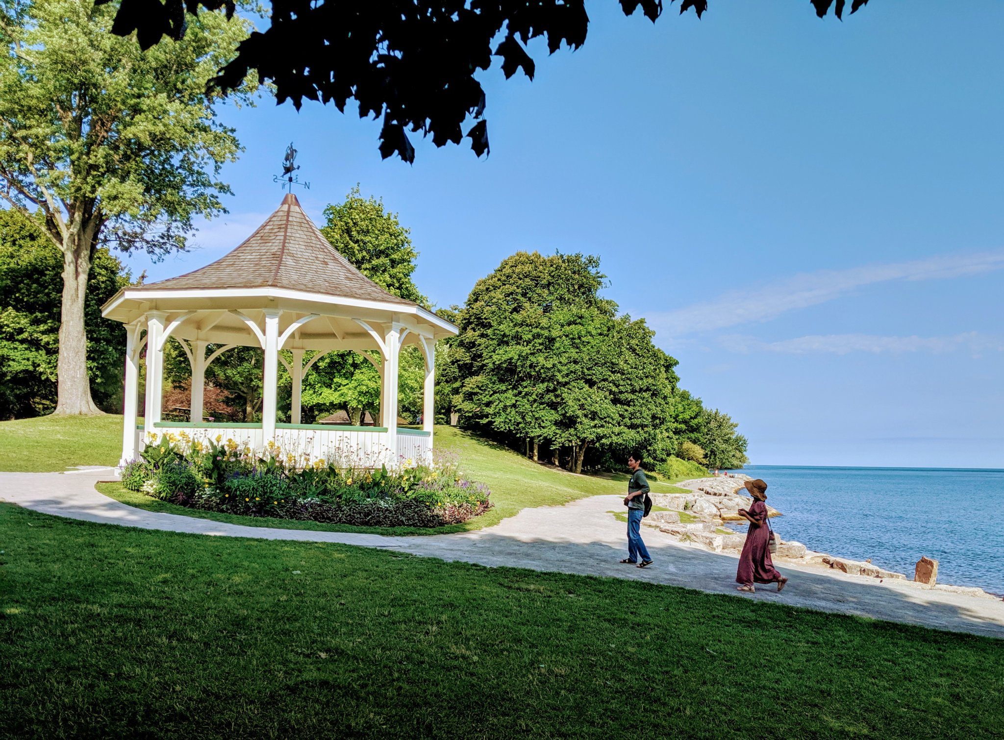
Each Friday we will explore some history of Niagara-on-the-Lake while getting a moderate paced walk. Discover where the Niagara River meets Lake Ontario. Experience the Heritage District, woods and the Niagara Parkway.Some weeks may be totally on sidewalks and roads while others may include a mix of trail and paved pathways.
Great way to build up endurance for longer more strenuous hikes.
Plan to stay for conversation and a coffee at Sweets & Swirls, Community Centre, Niagara Stone Rd., NOTL
Margaret & Robin
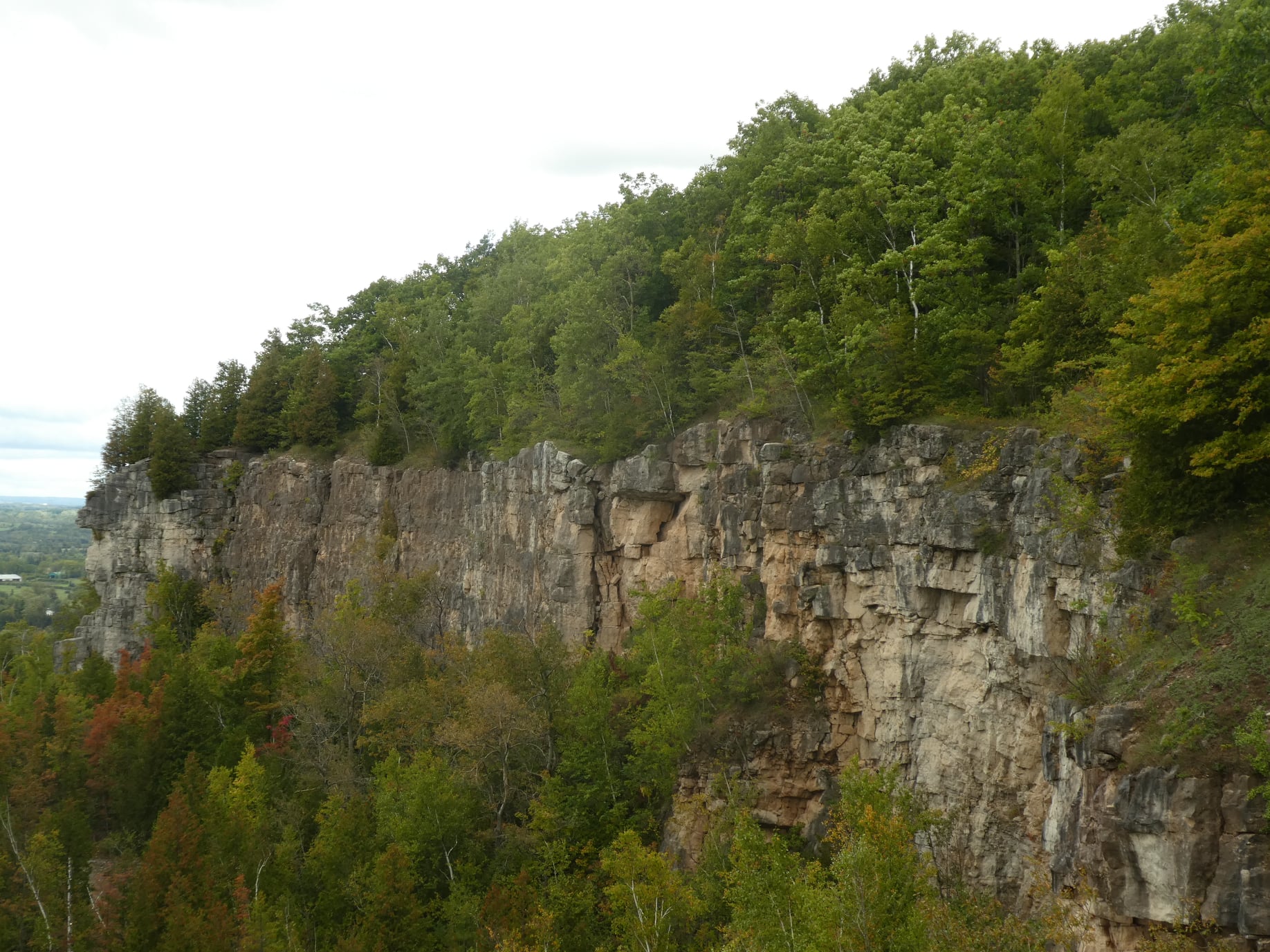
Afternoon Hike - Kelso Summit (reservation required)
https://hikes.brucetrail.org/event/afternoon-hike-kelso-summit-reservation-required-3/Sorry, the registration cut-off time for this hike has been reached.Not a member? Click here to join today!Hosting Club: Iroquoia
Category: Afternoon/Evening Hikes
Location (Google Maps): Meet at 4:15 pm in the Kelso Summit parking lot on Steeles Ave.Hike Leader(s): Karen Bergmann Click here to contact Hike Leader(s)
Pace: Medium – 3 to 4 km/hr
Terrain: Moderate – Some hills and/or some poor footing
Distance: 7 kmsDescription
We will hike along a few of the trails in a loop. Please reserve your time at www.conservationhalton.ca for KELSO SUMMIT. - 13September 13, 2025

Peninsula Sunrise Series: Malcolm Bluff
https://hikes.brucetrail.org/event/peninsula-sunrise-series-malcolm-bluff/Sorry, the registration cut-off time for this hike has been reached.Not a member? Click here to join today!Hosting Club: Peninsula
Category: Sunrise Hike
Location (Google Maps): Purple Valley Access Trail ParkingHike Leader(s): Kathleen Stahlbaum Click here to contact Hike Leader(s)
Pace: Leisurely (2.0 – 3.0 km/h): A relaxed pace with frequent breaks and a focus on enjoyment., Medium (3.0 – 4.5 km/h): A comfortable pace for most hikers with steady progress.
Terrain: Difficult: Steep ascents/descents, rocky scrambling, and some rugged escarpment paths., Easy: Flat forested sections or lowland trails., Moderate: Rolling hills, mild slopes and rocky paths.
Distance: ~6.5kmDescription
Experience the magic of dawn on the Bruce Trail with the Sunrise Hike Series offered by the Peninsula Bruce Trail Club. These early morning hikes provide a perfect opportunity to awaken your senses, boost your energy, and immerse yourself in the tranquility of nature as the sun paints the sky with breathtaking hues. As we make our way through scenic forest trails, we’ll pause to witness the first light shimmering on the turquoise waters of Georgian Bay – a sight that will surely leave you in awe!Beyond the beauty, morning light helps regulate your circadian rhythm, elevating your mood, boosting energy levels and improving sleep quality. Whether you’re looking to start your day with a sense of calm, capture stunning sunrise photos, or simply reconnect with nature, these hikes offer a unique and inspiring way to greet the day.
On Saturday September 13th, join us in hiking along the Purple Valley Access Trail, Malcolm Bluff Side Trail, and stretch of Main Trail through the Malcolm Bluff Shores Nature Reserve to experience the sun rising over the Bay from the edge of the Escarpment. We’ll have the joy of taking in the stunning colours of the sky as the first light sparkles on the stunning turquoise waters. This peaceful sunrise hike is the perfect way to connect with nature, capture some incredible photos, and start the day with fresh air and inspiration. Whether you’re a morning person or just love a good adventure, come experience the magic of dawn from one of the best vantage points on the Bruce Peninsula!
Don’t forget to bring a headlamp or flashlight (preferably with a red light setting) as we begin our adventure in the pre-dawn quiet. Join us and discover how a sunrise hike can nourish your mind, body, and spirit—setting the tone for a brighter, more balanced day.
This hike is approximately 6.5 kms in length. Expect to be on the trail for 3 hours. Pace will be leisurely with ample time to enjoy the sunrise, take some photographs, and nourish yourself!
How to prepare:
- Get a good night’s sleep
- Bring lots of water and a snack (breakfast and/or coffee are recommended if that’s your thing!)
- Bring a headlamp or flashlight (preferably with a red light setting)
- Wear waterproof hiking boots
- Hiking poles are recommended but not necessary
- Bring insect repellant or wear protective clothing
- Bring sunscreen
Car Hike: Scotsdale Farm
https://hikes.brucetrail.org/event/car-hike-scotsdale-farm-14/Sorry, the registration cut-off time for this hike has been reached.Not a member? Click here to join today!Hosting Club: Caledon Hills
Category: General
Location (Google Maps): Scotsdale Farm, Map 13. Directions; from Highway 401, head north on Trafalgar Road past Georgetown. Trafalgar briefly merges with Highway 7 for about 3 km before separating to the right at the village of Silver Creek. At the stop light in Silver Creek, continue north on Trafalgar Road for about 1 km to the entrance of Scotsdale Farm on your right. Drive in about half a kilometre to reach the parking area.Hike Leader(s): Dylan “Lana” Hubbard Click here to contact Hike Leader(s)
Pace: Medium – 3 to 4 km/hour
Terrain: Moderate – some hills and/or some poor footing
Distance: 14 kmDescription
Join us for a loop hike along the main Bruce Trail and its scenic side trails, including the stunning Great Esker Side Trail.Please dress appropriately for the weather, bring plenty of water, and pack some snacks. Note that parts of the trail are rocky, so poles are highly recommended.
We are committed to fostering an inclusive and welcoming environment. This hike is an LGBTQ+ safe space, and everyone is encouraged to join us!
Car Hike: Erindale park Mississauga
https://hikes.brucetrail.org/event/car-hike-erindale-park-mississauga-4/Sorry, the registration cut-off time for this hike has been reached.Not a member? Click here to join today!Hosting Club: Toronto
Category: Car Hike
Location (Google Maps): Erindale Park parking lotHike Leader(s): Mohammad Aghamiri Click here to contact Hike Leader(s)
Pace: Moderate (3-4 km/hr)
Terrain: Hilly, Level 2 (Intermediate – some hills and uneven surfaces, rocks and roots underfoot), Variable
Distance: 12-14 kmDescription
We will hike Credit River North and will see nice views of Credit River and possibly some salmons heading upstream
Woodend to Fireman's Loop
https://hikes.brucetrail.org/event/woodend-to-firemans-loop-2/Sorry, the registration cut-off time for this hike has been reached.Not a member? Click here to join today!Hosting Club: Niagara
Category: Loop
Location (Google Maps): Meet at the entrance to Woodend Conservation Area, Taylor Rd, Niagara-on-the-LakeHike Leader(s): Margaret Northfield Click here to contact Hike Leader(s)
Pace: Medium
Terrain: Moderate
Distance: 12-13kmDescription
We will hike around Woodend before heading to Fireman’s Park. After looping through Fireman’s we head back to Woodend. Bring water & snacks. Poles recommended.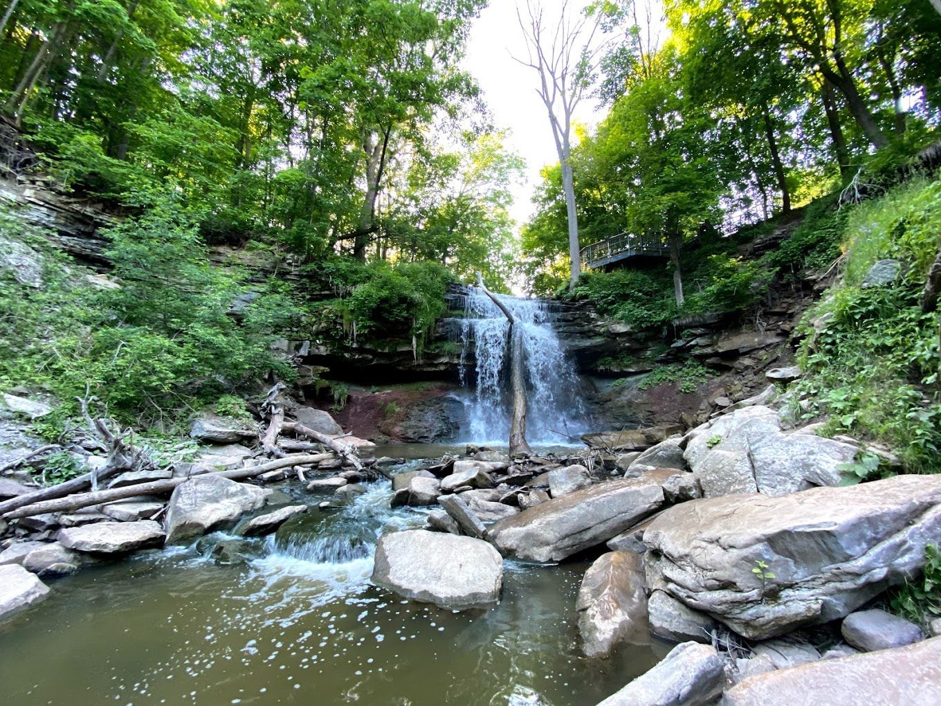
RAINBOW HIKE: Smokey Hollow Waterfall to Dundas
https://hikes.brucetrail.org/event/rainbow-hike-dundas-conservation-area-to-downtown-dundas-plus-side-trails/Sorry, the registration cut-off time for this hike has been reached.Not a member? Click here to join today!Hosting Club: Iroquoia
Category: Rainbow Hike
Location (Google Maps): Smokey Hollow Waterfalls, WaterdownHike Leader(s): Doug O’Neill Click here to contact Hike Leader(s)
Pace: Medium – 3 to 4 km/hr
Terrain: Strenuous – Hilly with steep climbs and some poor footing
Distance: 14 kmDescription
Come by car or transit for this all-inclusive 2SLGBTQI+ friendly hike from Smokey Hollows Waterfall, Waterdown to downtown Dundas.Please arrive at the Smokey Hollow parking lot, 80 Mill St. South, by 8:45 a.m. for a 9 a.m. start.
We’ll follow the main trail along Grindstone Creek, through Clappison Woods, Borer’s Falls and Rock Chapel before heading down Sydenham to Dundas. We’ll be in deciduous forest for much of the day. Some excellent lookouts. Expect hills, a handful of steep climbs and descents, plus some rocky terrain. There are no spots to refill your water bottle. It’s that expected all hikers can manage 3.5 km per hour on uneven terrain. We’ll be on the trail from 9 a.m. until approximately 1:30-2 pm. allowing for rest stops, bio breaks and lunch. If you’re looking for a slow leisurely pace on flat terrain, this may not be the ideal hike for you.
Lunch will be at an abandoned skate park in the middle of nowhere. It’s not what you’d expect to see along the Bruce Trail.
By transit. The easiest route is to take HSR transit or GO Bus (depending where you live) to Aldershot GO station, then hop on the 18 Leavitt Loop bus and get off at “Mill at Mountain Brow,” near the Smokey Hollows parking lot. The bus drivers on this route are accustomed to hikers.
By car: There is unpaid parking at Smokey Hollow. Note: As I discovered on my pre-hike, the parking lot fills up early. An alternative: There’s street parking on Flanders Drive, which is about a 15-minute walk to Smokey Hollows (80 Mill St. South). PLEASE allow yourself enough time to find parking as we’re meeting at Smokey Hollows parking lot at 8:45 a.m latest. There are no washroom facilities at the starting point (um, plan accordingly or skip the large coffee :).
Upon reaching downtown Dundas at the end of the hike, drivers can do group Uber shuttles back to the Smokey Hollows parking lot. Anyone coming by transit can simply hop the bus from Dundas back to Hamilton.
Bring 1.5 litres of water and lunch. Sunscreen is also recommended. Hiking boots or sturdy footwear are recommended.
Get your complimentary Bruce Trail Rainbow badge and/or sticker at the end of the hike! For those interested, we frequently go for refreshments (pub or ice cream) in Dundas.
Feel free to reach out to the Hike Leader if you have any questions – “Click here to contact Hike Leader” on this form.
Boyne Valley Loop
https://hikes.brucetrail.org/event/boyne-valley-loop/Sorry, the registration cut-off time for this hike has been reached.Not a member? Click here to join today!Hosting Club: Dufferin Hi-Land
Category: General Hike
Location (Google Maps): Park on the east side of Prince of Wales in the Parking Lot just north of hwy #89Hike Leader(s): Susan Bate Click here to contact Hike Leader(s)
Pace: Brisk
Terrain: Moderate
Distance: 12 kmDescription
We will hike both side and main trail for a 10 km loop. This hike will feature some steep climbs and more moderate terrain. Park in the parking lot on the east side of Prince of Wales. Dress for weather conditions and bring at least 1L water and a snack. Please arrive by 8:45 am as we will leave promptly at 9 am.
#5/5 Niagara Bruce Trail End-to-End - 17 KM
https://hikes.brucetrail.org/event/5-5-niagara-bruce-trail-end-to-end-17-km/Sorry, the registration cut-off time for this hike has been reached.Not a member? Click here to join today!Hosting Club: Toronto
Category: Car Hike
Location (Google Maps): Kinsmen Park at KM66.9Hike Leader(s): Alina Lin
Pace: Brisk (4-5 km/hr)
Terrain: Challenging, Flat, Hilly, Level 2 (Intermediate – some hills and uneven surfaces, rocks and roots underfoot), Rocky, Variable
Distance: 17 kmDescription
The Niagara region is one of Canada’s most productive fruit-growing areas. Strolling along country roads lined with farms and orchards, you’ll see ripe peaches, plums, and grapes hanging from the trees and smell the sweet fragrance of the harvest in the air—you’ll truly understand why it’s called a Fruit Paradise. To make the most of the short harvest season, let’s hike the Niagara section of the Bruce Trail and if you are interested, visit local farms afterward—perhaps even enjoy some fruit picking!This is the last hike of a five-hike End-to-End series covering the entire Niagara section of the Bruce Trail. The full section stretches over 80 kilometers from Niagara-on-the-Lake to Grimsby. I am using Map Edition 29, so please note that kilometer markings may not be fully up to date, and actual hiking distances may vary slightly.
Meeting Point:
Kinsmen Park at KM66.9
GPS:N43.146108, W79.475609. Enter from Hixon St at the intersection of Kinsmen Rd and Frost Rd.We will car shuttle to the starting point of the hike Beamer Memorial Conservation Area at KM2.2, -Iroquoia Section
GPS:N 43.188540, W 79.573428. Enter from Quarry Rd, which intersects with Ridge Rd W just west of Beamers Falls.The group will then hike from KM2.2 back to KM66.9.
All drivers are expected to participate in the car shuttle, either before or after the hike.Important Notes:
- Wear sturdy hiking boots and dress appropriately for the weather
- Bring bug spray (mosquitoes may be present)
- Bring snacks, lunch, and at least 1.5L of water
- No dropouts available.
- No pets .
Car Hike: Fall Fern Identification Hike
https://hikes.brucetrail.org/event/car-hike-fall-fern-identification-hike/Sorry, the registration cut-off time for this hike has been reached.Not a member? Click here to join today!Hike open to BTC Members only.
Hosting Club: Toronto
Category: Car Hike
Location (Google Maps): Meeting place will be Scotsdale Farm parking lot. This is off Trafalgar Rd 1.7 km north of Highway 7. There is a sign at the road into the farm. Km29.8Hike Leader(s): Lynn McFerran Click here to contact Hike Leader(s)
Pace: Leisurely (2-3 km/hr)
Terrain: Flat, Level 1 (Easy – mostly on flat, well maintained trails with hard-packed surface)
Distance: 5 kmDescription
Last September Mara McHaffie a staff ecologist from the BTC and I led a very successful fern Id hike and are going to do another one this fall. This is a very slow paced “”look and learn” kind of hike. There is lots of opportunity for photographs and questions. The section we are going to view this year is a well travelled part of the trail and has quite a variety of vegetation. I have not counted the ferns I have seen already this season but maybe we will go beyond the 12 or 13 varieties we found last year. THis hike will go rain or shine so come dressed for any weather. Bring water and snacks.
Youth Hiking Program - Discovery Hike - Pines and Clearview Loops
https://hikes.brucetrail.org/event/youth-hiking-program-discovery-hike-pines-and-clearview-loops/Sorry, the registration cut-off time for this hike has been reached.Not a member? Click here to join today!Hosting Club: Sydenham
Category: Family Hike
Location (Google Maps):Meeting roadside along 8th Concession N, just East of Owen Sound.
Carpooling may be available upon request
Hike Leader(s): Jeannine Kralt Click here to contact Hike Leader(s)
Pace: Leisurely: 3 km/h or less
Terrain: Moderate: Some hills and/or poor footing
Distance: 5kmDescription
Join us on this Discovery Hike of the Pines and Clearview Loops – we’ll take our time, and see what we can find. We’ll be hiking upwards of 5km, depending on the group. The Pines loop is a relatively flat and easy walk. Clearview is more moderate, with some loops. Either way we’ll hike through forests along the Escarpment, and past the remnants of an old stone barn. Free ‘Boots on the Trail’ badges are available to youth 18 and under. This is also a great route to choose for the By the Seasons badge.As we’ll be taking our time, this hike is suitable for families, new hikers, and anyone wanting a more leisurely hike. All ages are welcome. We’ll likely take a couple of hours (possibly more), depending on the group and conditions – bring a snack, and wear good footwear. Portions of the trail may be a bit mucky. An email re: trail conditions to expect will be sent out prior to our hike together.
If you are unable to register, please contact the hike leader via the link above. Carpooling may be available upon request.