
The BTC office will be closed on Mon. Oct. 12 for the holiday. Thank you for your understanding.
Hike Schedule
Join us for a hike! Registration required.
All hikes available to BTC members. Some hikes are open to non-members.
See Refund Policy for Paid Hikes >
TIP: The calendar view displays up to 7 hikes on a day, but often there are more. Click “View more events” to see them all.
Niagara
Iroquoia
Toronto
Caledon Hills
Dufferin Hi-Land
Blue Mountains
Beaver Valley
Sydenham
Peninsula
All Clubs
Show Filters
Categories
Reset Filters
- 09November 9, 2025
Car Hike: Jefferson Forest and Bond Lake (Richmond Hill)
https://hikes.brucetrail.org/event/car-hike-jefferson-forest-and-bond-lake-richmond-hill-8/Sorry, the registration cut-off time for this hike has been reached.Not a member? Click here to join today!Hosting Club: Toronto
Category: Car Hike
Location (Google Maps):1245 Bethesda Side Rd, Richmond Hill, ON L4E 1A2 ( Bethesda Trail Head Parking lot)
Hike Leader(s): Amir Alemohammad Click here to contact Hike Leader(s)
Pace: Moderate (3-4 km/hr)
Terrain: Flat, Hilly, Level 2 (Intermediate – some hills and uneven surfaces, rocks and roots underfoot), Variable
Distance: 13-14 kmDescription
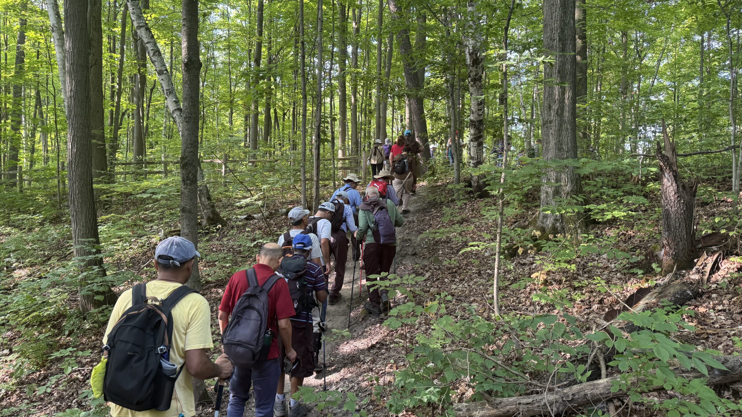
Join us for a wonderful hike in Jefferson Forest and have a snack/lunch beside the Bond Lake. We will hike among tall trees and bushes of the Jefferson Forest and across the Bayview-Yonge corridor to reach to the Bond Lake. Boots mandatory, poles recommended, bring at least 2L of water, sunscreen, snack/lunch and dress according to the weather conditions. Please avoid parking along the road. Difficulty Level: 2 (Moderate).Please arrive @7:45 AM for start of 8:00AM.
This is a joint hike with the Oak Ridges Trail Association (ORTA).
Car Hike: Rattlesnake Point
https://hikes.brucetrail.org/event/car-hike-rattlesnake-point-2/Sorry, the registration cut-off time for this hike has been reached.Not a member? Click here to join today!Hosting Club: Caledon Hills
Category: General
Location (Google Maps): Rattlesnake Point Conservation Area: https://maps.app.goo.gl/nTqd9b3wbhFjD1c4AHike Leader(s): Dylan “Lana” Hubbard Click here to contact Hike Leader(s)
Pace: Brisk – 4 to 5 km/hour, Medium – 3 to 4 km/hour
Terrain: Moderate – some hills and/or some poor footing
Distance: 15 kmDescription
We’ll be heading out on a scenic loop hike that begins and ends at the Rattlesnake Point Side Trail. Our route will take us along both the main Bruce Trail and connecting side trails all the way to Crawford Lake. There, we’ll explore the main trail loop before continuing back through the beautiful Nottawasaga Canyon. Expect some rolling hills and a mix of rocky, uneven terrain—nothing too extreme, but definitely a good workout.Pace is brisk on the flats and medium on the hills.
Please book your parking spot in advance through Conservation Halton.
RESERVATIONS REQUIRED!
WORK PARTY: Habitat Restoration Project @ Badlands (day 2 of 2)
https://hikes.brucetrail.org/event/work-party-habitat-restoration-project-badlands-day-2-of-2/Sorry, the registration cut-off time for this hike has been reached.Not a member? Click here to join today!Hosting Club: Caledon Hills
Category: General
Location (Google Maps): Volunteers will park at the Badlands parking lot on Old Base Road. GPS coordinates are: 43.775829 and -79.942703Hike Leader(s): GG & Richard Click here to contact Hike Leader(s)
Pace: Leisurely – 3 km/hour or less
Terrain: Moderate – some hills and/or some poor footingDescription
*This is not a hike. This is a habitat restoration work party. It is being entered into the hike schedule as a pilot in response to asks for work parties be added to the schedule in addition to the volunteer communications 🙂 *Our Club is now maintaining the section of main trail that goes through the Badlands. Earlier this year, volunteers worked for days to improve the main trail with limestone/gravel to eliminate muddy sections and ensure the trail is satisfactory for the many visitors to this section.
On Sunday, November 9th from 9:00 a.m. to 12:00, volunteers are needed to assist with removing the invasive species of buckthorn and prune back the larger buckthorn trees. Volunteers will be provided with “extractigators” but, please bring your own loppers if you have some.
Bring gloves, water, snacks etc for yourself.
Volunteers will park at the Badlands parking lot on Old Base Road. GPS coordinates are: 43.775829 and -79.942703
*This is not a hike. This is a habitat restoration work party. It is being entered into the hike schedule as a pilot in response to asks for work parties be added to the schedule in addition to the volunteer communications 🙂 *

10:00 Witch of Cave Spring Hike
https://hikes.brucetrail.org/event/1000-witch-of-cave-spring-hike-2/Sorry, the registration cut-off time for this hike has been reached.Not a member? Click here to join today!Hosting Club: Niagara
Category: In and Out
Location (Google Maps):Parking lot Quarry Road Beamsville
Hike Leader(s): Angela Lytle Click here to contact Hike Leader(s)
Pace: Medium
Terrain: Moderate
Distance: 5 kmDescription
Enjoy a beautiful hike through the autumn woods and learn about local historical and mystical lore while searching for the Witch of Cave Spring.Complete this guided hike and count it towards the Screaming Tunnel Badge, more info on the badge requirements is here: https://niagarabrucetrail.club/badges/
Wearing a witch hat, while not required, is highly recommended!
Details:
This hike loops from Quarry Rd in Beamsville (limited parking, carpool if possible) along the Bruce Trail to Cave Spring Conservation area and back.
Note: The path to Cave Spring runs along the escarpment edge and is quite rocky and has some hills. We can adjust the pace but be prepared for some rocky, uneven footing and clambering up and down. We recommend using hiking poles and wearing good hiking shoes is a must. Carry water and dress for changeable weather.
We will stop along the way at sites of interest and loop back to the car park on Quarry Rd. The loop is around 5 km. Please arrive by 9:50 to check in with the hike leader for departure at 10.
GO Train Hike: Stoney Creek City Park Trails To Battlefield Park and Devil's Punchbowl
https://hikes.brucetrail.org/event/go-train-hike-stoney-creek-city-park-trails-to-battlefield-park-and-devils-punchbowl/Sorry, the registration cut-off time for this hike has been reached.Not a member? Click here to join today!Hosting Club: Toronto
Category: GO Train Hike
Location (Google Maps): We will take the Niagara bound Express GO Train departing Union Station in Toronto departing at 9:04 AM arriving at Confederation GO Station in Stoney Creek at 10:30 AM. Meet us in the Great Hall of Union Station by the information desk over it by 8:50 AM or proceed to the Bay Street Concourse to board the train and you may find us in the accessibility coach (or find us when the train arrives at Confederation GO Station). On the return we will take the HSR Bus to return to Confederation GO and will be taking the GO Bus to Burlington to connect with the train (there’s no trains until 5:00 PM)Hike Leader(s): Tom Swales Click here to contact Hike Leader(s)
Pace: Moderate (3-4 km/hr)
Terrain: Hilly, Level 2 (Intermediate – some hills and uneven surfaces, rocks and roots underfoot), Variable
Distance: 10-11 kmDescription
We will take the Niagara bound express train from Union Station to Confederation GO Station in Stoney Creek (stops at Exhibition and Port Credit) and make our way towards the Niagara Escarpment by way of the local park trails to Battlefield Park (home of the historic pivotol battle of June 6 1813) connecting to the Bruce Trail, Devil’s Punchbowl Side Trail, and the Devil’s Punchbowl Conservation Area Lookout. We will retrace our steps to Battlefield Park and take an HSR Bus to return to Confederation GO Station. While most of the terrain will be easy (Level 1) we will be ascending and descending the escarpment on the Devil’s Punchbowl Side Trail (about 94 metres) and hiking boots are recommended. Optional pub stop at Shoeless Joe’s by the GO Station. The return trip will involve taking a GO Bus direct to Burlington Station to connect with trains that run half hourly (making all regular stops). Anyone is welcome to join from GO stops on the way or meet us at 10:30 at Confederation GO Station. - 10November 10, 2025
Niagara End-to-End #4 of 6
https://hikes.brucetrail.org/event/niagara-end-to-end-4-of-6/Sorry, the registration cut-off time for this hike has been reached.Not a member? Click here to join today!Hosting Club: Niagara, Iroquoia
Category: General Hike
Location (Google Maps): Parking Lot on the north side of King Street (Highway 81)Hike Leader(s): Pati Greenwood, Jeff Dowsett Click here to contact Hike Leader(s)
Pace: Medium – 3 to 4 km/hr
Terrain: Moderate – Some hills and/or some poor footing
Distance: 13.4 kmDescription
This is an End-to-End hike series to complete the Niagara section of the Bruce Trail in 6 hikes. Join for all or as many hikes as desired.This fourth hike of the series starting at the western edge of Short Hills Provincial Park, will follow the escarpment edge through Louth Conservation Area and finish at the Jordan Hollow Side Trail, which will lead us to the parking area.
Weather conditions in the fall can be changeable, so it’s best to dress in layers and come prepared for varying conditions throughout the day. Insects, particularly ticks, are still active in the fall months, so take appropriate precautions to avoid them including using repellant and wearing clothing that covers the legs and arms. Hiking boots are required and hiking poles are recommended.
Bring plenty of fluids, including electrolytes, and a snack.
Since this is a group hike, please consider your fitness level before registering. We will be walking at a pace of 3km – 4km per hour and everyone is expected to keep up with the person in front of them for the duration of the hike.
Plan to arrive at the meeting place by 8:15 a.m. as we will start the car shuffle to the hike starting point at 8:30 a.m. sharp. Further details will be provided to registered hikers a few days prior to the hike.
- 11November 11, 2025
Urban Walk: Valley View Park Thornhill
https://hikes.brucetrail.org/event/urban-walk-valley-view-park-thornhill-116/Sorry, the registration cut-off time for this hike has been reached.Not a member? Click here to join today!Hosting Club: Toronto
Location (Google Maps): Parking lot is off Sycamore Drive East of Bayview , across Starbucks plaza
Bus 91 from Finch east station stops at Sycamore station.Hike Leader(s): Mohammad Aghamiri Click here to contact Hike Leader(s)
Pace: Moderate (3-4 km/hr)
Terrain: Hilly, Level 2 (Intermediate – some hills and uneven surfaces, rocks and roots underfoot)
Distance: 7-8 kmDescription
We will explore Valleyview and Maple View parks, and walk along German Mill Creak, in return we stop in Huntington park and have snack under beautiful shed ,Even it is considered Urban walk, it is urban hike as we have some up and down hills and tree roots, please bring your hiking poles, water and snacks,
phone number for the day of hike 289 588 6482
9:00 Long Hike Wiley Road Short Hills NEW TIME
https://hikes.brucetrail.org/event/900-long-hike-wiley-road-short-hills-new-time-5/Sorry, the registration cut-off time for this hike has been reached.Not a member? Click here to join today!Hosting Club: Niagara
Location (Google Maps):
Short Hills Wiley Road Entrance
Pace: Medium
Terrain: Moderate
: 10kmDescription
Explore Short Hills and the majestic side trails of Scarlett Tanager, Hemlock. Swayze Falls and Terrace. Register for each hikeBring Poles, , snack, and dress for the weather
9:15 Short hike, Pelham Road entrance, Short Hills
https://hikes.brucetrail.org/event/915-short-hike-pelham-road-entrance-short-hills/Sorry, the registration cut-off time for this hike has been reached.Not a member? Click here to join today!Hosting Club: Niagara
Location (Google Maps): Short Hills Provincial Park, Pelham Road entrance
Hike Leader(s): janet davey Click here to contact Hike Leader(s)
Pace: Medium
Terrain: Moderate
Distance: 6 kmsDescription
Hike the main and side trails in Short Hills Provincial Park. Please wear hiking boots and bring water.City View Park, Burlington, Map 9.
https://hikes.brucetrail.org/event/city-view-park-burlington-map-9-6/Sorry, the registration cut-off time for this hike has been reached.Not a member? Click here to join today!Hosting Club: Caledon Hills
Category: Tuesday Hikers
Location (Google Maps): City View Park, Burlington.
From Highway 403 going west, turn right on Brant Street, left on Dundas Street, left on Kerns Rd., take second turn left into City View Park to the parking lot.Hike Leader(s): Mohammad Shafiq Click here to contact Hike Leader(s)
Pace: Medium – 3 to 4 km/hour
Terrain: Moderate – some hills and/or some poor footing
Distance: 11 kmDescription
From City View Park will connect with main Bruce Trail and hike to Smokey Hollow waterfall, also hike Kings ST and Eric Best ST on the way. After snack break will trace back our steps and return to parking.
Bring water, snack for refreshment break at Smokey Hollow.
Dress for the weather, poles are recommended.
Optional refreshment stop after hike at a Kopper Kettle.Rock Hill/Oliver Creek Loops
https://hikes.brucetrail.org/event/rock-hill-oliver-creek-loops-2/Sorry, the registration cut-off time for this hike has been reached.Not a member? Click here to join today!Hosting Club: Dufferin Hi-Land
Category: Tuesday Hike
Location (Google Maps):Dufferin Hi-Land, Map 20. Meet at Rock Hill parking lot on 1st Line Mulmur, just south of 10 Sideroad (Km 28.3).
Hike Leader(s): Les Babbage, Inge Eckerich, Julie Daley, Tony Evangelista Click here to contact Hike Leader(s)
Pace: Leisurely
Terrain: Moderate, Slippery and Steep Sections
Distance: 8.4 km; Short hike: 3.5 kmDescription
We will hike loops including Main Trail, Oliver Creek and Moss Haven Side Trails, then a loop consisting of Main Trail and Rock Hill Park Side Trail. The short hike will follow the Main Trail to the lower intersection with the Moss Haven Side Trail, then return to parking by way of Moss Haven and Main Trails. Bring water, snacks. Hiking poles recommended.Walk In Nature Series (WINS) - Massie Hills Management Area, loop trails
https://hikes.brucetrail.org/event/walk-in-nature-series-wins-massie-hills-management-area-loop-trails/Sorry, the registration cut-off time for this hike has been reached.Not a member? Click here to join today!Hosting Club: Sydenham
Category: General Hike
Location (Google Maps):497274 CONC 6 S, Meaford Township, off-road Bruce Trail parking lot
Hike Leader(s): Stewart Brown Click here to contact Hike Leader(s)
Pace: Medium: 3 to 4 km/h
Terrain: Moderate: Some hills and/or poor footing
Distance: 6 kmDescription
The Walk In Nature Series (WINS) consists of short loop hikes in the Sydenham section of the Bruce Trail that combine nature appreciation with fitness in a safe and welcoming group environment led by an experienced hike leader. Consider these hikes to be 90 or 120 minute reset appointments with yourself in nature that promote health and fitness. Medium paced WINS hikes are open to all ages and levels of hiking experience whether members or non-members of the Bruce Trail Conservancy (BTC).On this hike we will walk a 6 km loop with a medium pace on the beautiful trails of the Massie Management Area, a Grey Sauble Conservation Area property, including a part of the main Bruce Trail and the Spey River Forest Side Trail. There are some hills, possibly some mud. The property is varied with mature forests, wetlands and peaceful trails.
Bruce Trail map 29 in Edition 31, the parking lot is at km 21.4
Come out and enjoy the beauty of nature in late Fall.
Please arrive 15 min before hike start time. Bring water, a snack and hiking poles if you have them.
Thanks, and see you soon.
- 12November 12, 2025
EASY DOES IT HIKE, Heartland Forest Nature Experience
https://hikes.brucetrail.org/event/easy-does-it-hike-heartland-forest-nature-experience/Sorry, the registration cut-off time for this hike has been reached.Not a member? Click here to join today!Hosting Club: Niagara
Category: Leisurely
Location (Google Maps): 8215 Heartland Forest Rd, Niagara Falls, ON L2H 0L5 (Park in large lot near entrance from road.)Hike Leader(s): Diane Marlatt Click here to contact Hike Leader(s)
Pace: Leisurely
Terrain: Easy
Distance: 3 KmDescription
WEDNESDAY WALKERS: Griersville to 7th Line
https://hikes.brucetrail.org/event/wednesday-walkers-griersville-to-7th-line/Sorry, the registration cut-off time for this hike has been reached.Not a member? Click here to join today!Hosting Club: Beaver Valley
Location (Google Maps): Meet at the parking lot at Blantyre on the east side of Grey Road 12. That’s Km 117.3, The Bruce Trail Reference Edition 31.
Hike Leader(s): Margaret Yaraskavitch Click here to contact the hike leader.
Pace: Medium
Terrain: Moderate
Length of Hike: 7.2 kmDescription
This is a there-and-back hike. Starting in the new parking lot at Blantyre, we walk by fields, along Anthea’s waterfall, and through hardwood forest. The walk is through Grey Sauble CA land and BTC land. Once we reach 7th Line, we return to our vehicles.Guidelines
- Arrive 15 minutes before the start of the hike.
- Wear sturdy footwear and appropriate attire for the weather and the terrain.
Hiking poles are a good idea in any season, especially if the terrain is rocky or slippery. In winter, snowshoes or icers/crampons are needed when conditions dictate.
Wearing appropriate clothing and footwear prevents injuries and shows consideration for a safe and positive group hiking experience. - Always carry I.D. and your health card.
- Bring sufficient water and snacks (or lunch if indicated). A minimum of 1L of water is recommended on all hikes, and 3L is recommended for long, challenging hikes in the heat of the summer.
- Bring sunscreen and insect repellent (for spring and summer hikes).
- Bring your own first aid kit.
- Please leave dogs at home.
Wasaga Beach Wander
https://hikes.brucetrail.org/event/wasaga-beach-wander/Sorry, the registration cut-off time for this hike has been reached.Not a member? Click here to join today!Hosting Club: Blue Mountains
Category: Organized Hike
Location (Google Maps): 194 Fernbrook Dr, Wasaga Beach, ON L9Z 2B1, CanadaHike Leader(s): Arie van Walraven Click here to contact Hike Leader(s)
Pace: Medium – 3 to 4 km/hr
Terrain: Moderate – Some hills and/or some poor footing
Distance: 8KMDescription
Roadside parking on Veterans Way, just south of Fernbrook Drive at the Ganaraska Hiking Trail Marker KM15. We will hike the section between Veterans Way and Klondike Park Rd. We will follow the crest of the sand dunes to Klondike Park Rd. Our return route will go through some ancient beaches created by receding water. Footing is mostly hard packed sand through oak and pine forest.Dundas Driving Park to Dundas Peak and Tew's Falls return
https://hikes.brucetrail.org/event/dundas-driving-park-to-dundas-peak-and-tews-falls-return-3/Sorry, the registration cut-off time for this hike has been reached.Not a member? Click here to join today!Hosting Club: Iroquoia
Category: Good Companions
Location (Google Maps):Dundas Driving Park
Hike Leader(s): Craig Sim Click here to contact Hike Leader(s)
Pace: Medium – 3 to 4 km/hr
Terrain: Strenuous – Hilly with steep climbs and some poor footing
Distance: 8k (approximate)Description
A strenuous, hilly, up and down hike with great views. We park and meet in Dundas Driving Park not far from the washrooms, and follow city streets to trail leading to Dundas Peak and Tew’s Falls. Wear sturdy hiking shoes or hiking boots, bring icers, layers of clothing appropriate to weather, bring water and snack. Optional outing for beverage/food after.CANCELLED Hike & Picnic
https://hikes.brucetrail.org/event/hike-picnic-2/Sorry, the registration cut-off time for this hike has been reached.Not a member? Click here to join today!Hike open to BTC Members only.
Hosting Club: Niagara
Category: Cancelled
Location (Google Maps): Locust Grove Picnic Area
Free parkingHike Leader(s): Suzanne Gourluck Click here to contact Hike Leader(s)
Pace: Medium
Terrain: Moderate
Distance: 7 kmDescription
Hike on the trails around Queenston and stay afterwards for a shared picnic. Please be prepared to ascend/descend the escarpment and possibly navigate some stairs depending on the route we take.Poles are recommended. Dress for the weather. Bring a chair and something tasty for the picnic table.
- 13November 13, 2025
Urban Walk: Valley View Park Thornhill
https://hikes.brucetrail.org/event/urban-walk-valley-view-park-thornhill-117/Sorry, the registration cut-off time for this hike has been reached.Not a member? Click here to join today!Hosting Club: Toronto
Location (Google Maps): Parking lot is off Sycamore Drive East of Bayview , across Starbucks plaza
Bus 91 from Finch east station stops at Sycamore station.Hike Leader(s): Mohammad Aghamiri Click here to contact Hike Leader(s)
Pace: Moderate (3-4 km/hr)
Terrain: Hilly, Level 2 (Intermediate – some hills and uneven surfaces, rocks and roots underfoot)
Distance: 7-8 kmDescription
We will explore Valleyview and Maple View parks, and walk along German Mill Creak, in return we stop in Huntington park and have snack under beautiful shed ,Even it is considered Urban walk, it is urban hike as we have some up and down hills and tree roots, please bring your hiking poles, water and snacks,
phone number for the day of hike 289 588 6482
9:00 am Long Hike Cave Spring Conservation Area NEW TIME
https://hikes.brucetrail.org/event/900-am-long-hike-cave-spring-conservation-area-new-time-6/Sorry, the registration cut-off time for this hike has been reached.Not a member? Click here to join today!Hosting Club: Niagara
Location (Google Maps):
Cave Spring Conservation Area
Pace: Medium
Terrain: Moderate
: 10kDescription
This will be our permanent Thursday Location until Bridge repairs complete. From Cave Spring Conservation Area explore the trail network on the escarpment towards Kinsman Park and Moyer Road.You must register for each hike. Bring Poles, snack and a drink. Dress for the weather
Hiking around Jordan
https://hikes.brucetrail.org/event/hiking-around-jordan-35/Sorry, the registration cut-off time for this hike has been reached.Not a member? Click here to join today!Hosting Club: Niagara
Location (Google Maps): 3640 Glen Road
Hike Leader(s): Bill Russell Click here to contact Hike Leader(s)
Pace: Medium
Terrain: Moderate
Distance: 7 kmDescription
Hiking in and around Jordan including Jim Rainforth Trail, Balls Falls and Bailey Bridge through the Village of Jordan.
To the Lake and Back
https://hikes.brucetrail.org/event/to-the-lake-and-back-4/Sorry, the registration cut-off time for this hike has been reached.Not a member? Click here to join today!Hosting Club: Iroquoia
Category: Easy Does It Hikes
Location (Google Maps): Oakville, Joshua Creek SouthHike Leader(s): Anne Armstrong Click here to contact Hike Leader(s)
Pace: Leisurely – 3km/hr or less
Terrain: Easy – Mostly flat and usually good footing
Distance: Approx 9 lm.Description
Come and join us for this “”easy does it ” hike which will follow Joshua Creek south to Lake Ontario and return. We will be walking alongside the creek in a semi urban environment. We should get some lovely views of the lake.The trail is generally flat with a few gentle hills. Meet near the Rexall Drug Store in the. Maplegrove Village Plaza (corner of Cornwall Rd. and Maplegrove Rd.) at 9:45 am. for a 10:00 am. start. Bring water, a snack, and sunscreen. Poles are not necessary for this hike. Optional refreshment stop afterwards. An email will be sent out the day before containing my contact information. - 14November 14, 2025
Caledon in 5 End-to-End Hike Series - Hike #3
https://hikes.brucetrail.org/event/caledon-in-5-end-to-end-hike-series-hike-3/Sorry, the registration cut-off time for this hike has been reached.Not a member? Click here to join today!Hosting Club: Iroquoia, Caledon Hills
Category: General Hike
Location (Google Maps): Meeting Place: Parking Area on the north side of Mono Side Road where the trail crossesHike Leader(s): Pati Greenwood, Jeff Dowsett Click here to contact Hike Leader(s)
Pace: Medium – 3 to 4 km/hr
Terrain: Dependent on Conditions, Strenuous – Hilly with steep climbs and some poor footing
Distance: 14 kmDescription
This is an end-to-end hiking series to complete the Caledon section of the Bruce Trail in 5 hikes.The hikes will be undertaken at a medium pace of approximately 4 km/hour for approximately 15 kms each hike. There here are many steep and hilly segments in this section of the Bruce Trail so the hikes will require considerable stamina. Please consider your fitness level before registering; this is a group hike, and everyone is expected to keep pace with the person in front of them for the duration of the hike.
The weather can be changeable at this time of year, so dress in layers for any possibility. Wear hiking boots and bring hiking poles. Bring a snack, plenty of water and other hydration as needed.
We will be travelling from south to north over the course of the End-to-End. The series will require car shuffles, and everyone will be expected to participate as drivers.
Today’s hike, the third of the series, is 14 km in length. Please plan to arrive at the meeting place by 8:15 am as we will start the car shuffle at 8:30 am sharp.
Further details will be provided to registered hikers a few days prior to the hike.
City Of Waterfalls.
https://hikes.brucetrail.org/event/city-of-waterfalls/Sorry, the registration cut-off time for this hike has been reached.Not a member? Click here to join today!Hike open to BTC Members only.
This is a Multi-Day Hike
You are signing up for the following dates and times:
2025-11-14 at 08:30
2025-11-16 at 08:30Hosting Club: Toronto
Category: Car Hike
Location (Google Maps): Cityview Park Main Lot coordinates 43.351747,-79.862195 maps 8,9Hike Leader(s): Smadar Junkin Click here to contact Hike Leader(s)
Pace: Brisk (4-5 km/hr)
Terrain: Challenging, Hilly, Level 2 (Intermediate – some hills and uneven surfaces, rocks and roots underfoot)
Distance: 21.3 kmsDescription
This hike series of 2 hikes will take us through the beautiful water falls of Hamilton. On the first day we will shuttle to Tews Falls+ Dundas Peak Parking. There is a parking fees of $11 to be shared between the hikers. We will go through Tews falls, Borer’s Falls, Great Falls. Other highlights- Dundas Lookout, Sydenham Lookout, Grindstone Creek, McNally Reserve Donor Wall.on November 16 we will meet at Mud Street Side Trail Parking coordinates 43.200682, -79.815214 maps 7, 8
we will shuttle to Artaban Road Parking coordinates, fees of $11 per car to be shared between the hikers.
we will go through Sherman Falls, Tiffany Falls, Lower Cheroke Falls, Upper Princess Falls, Mountview Falls, Sanatorium Falls, Albion Falls, Buttermilk Falls,
other highlights- Hamilton Cityscape, Stairs, Hamilton Branford Rail Trail
please arrive 15 minutes early so we can start the shuttle by 8:30. Bring food, 2 litres of water. Everyone is expected to participate in the shattle.
Niagara-on-the-Lake Tour
https://hikes.brucetrail.org/event/niagara-on-the-lake-tour-17/Sorry, the registration cut-off time for this hike has been reached.Not a member? Click here to join today!Hosting Club: Niagara
Category: Urban
Location (Google Maps): Park on King St near Centre St, Niagara-on-the-LakeHike Leader(s): Margaret Northfield Click here to contact Hike Leader(s)
Pace: Medium
Terrain: Easy
Distance: 6-7kmDescription
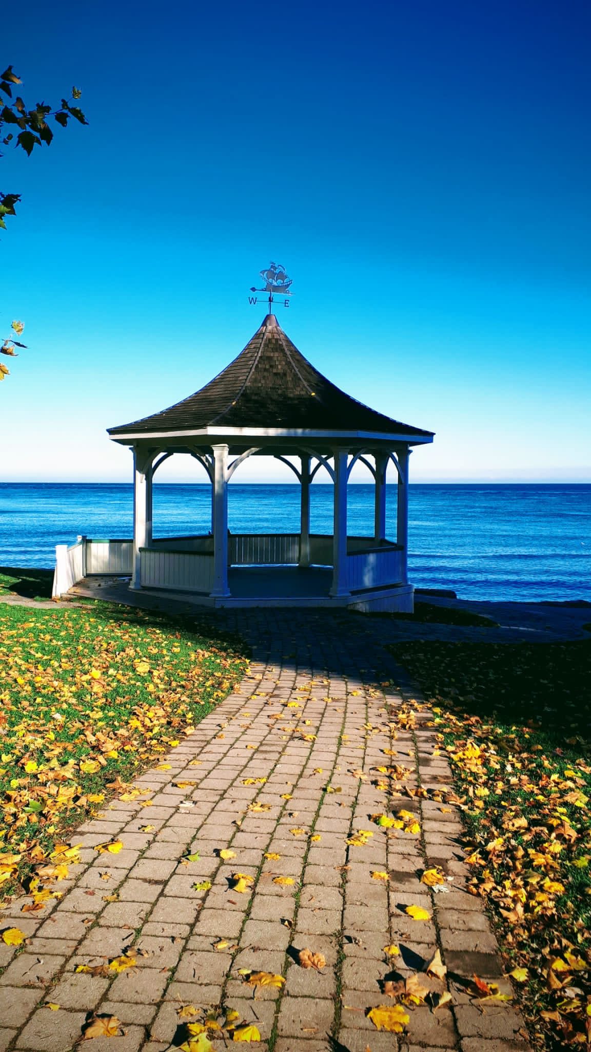
Each Friday we will explore some aspect of Niagara-on-the-Lake while getting a moderate paced walk. Discover where the Niagara River meets Lake Ontario. Experience the Heritage District, woods and the Niagara Parkway.Some weeks may be totally on sidewalks and roads while others may include a mix of trail and paved pathways.
Great way to build up endurance for longer more strenuous hikes.
Plan to stay for conversation and a coffee at Sweets & Swirls, Community Centre, Niagara Stone Rd., NOTL

Limehouse
https://hikes.brucetrail.org/event/limehouse-2/Sorry, the registration cut-off time for this hike has been reached.Not a member? Click here to join today!Hosting Club: Iroquoia
Category: General Hike
Location (Google Maps): Limehouse Conservation AreaHike Leader(s): Karen Bergmann Click here to contact Hike Leader(s)
Pace: Medium – 3 to 4 km/hr
Terrain: Easy – Mostly flat and usually good footing
Distance: 8 kmsDescription
The main trail was taken off the road north of Limehouse and put through a lovely forest from 6th Line. A fairly easy hike, with rocks and roots but no major hills. We will meet in the parking lot at Limehouse at 9:15 am and carpool to 6th Line, hiking back along the main Bruce Trail into the Conservation Area and passing the iconic stone arch, turning onto the Black Creek Side Trail and then up the middle path and back on the main trail, through the Hole in the Wall and to the cars. This is a great hike for beginners and those who are exploring the dynamic of a group hike. - 15November 15, 2025
Car Hike: Happy Valley King City
https://hikes.brucetrail.org/event/car-hike-happy-valley-king-city-7/Sorry, the registration cut-off time for this hike has been reached.Not a member? Click here to join today!Hosting Club: Toronto
Category: Car Hike
Location (Google Maps): Happy Valley, Oak Ridges Trail 16th Sideroad & Weston RoadPlease park along 16th Side road
Hike Leader(s): Mohammad Aghamiri Click here to contact Hike Leader(s)
Pace: Moderate (3-4 km/hr)
Terrain: Hilly, Level 2 (Intermediate – some hills and uneven surfaces, rocks and roots underfoot)
Distance: 12-14 kmDescription
Come and join us to view nice scenery and look out of Happy valley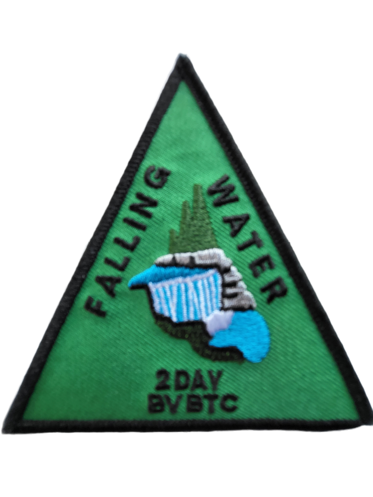
Did someone say badge?!! Two-Day Falling Water Badge - School Bus Hike (#1 of 2)
https://hikes.brucetrail.org/event/did-someone-say-badge-two-day-falling-water-badge-school-bus-hike/Sorry, the registration cut-off time for this hike has been reached.Not a member? Click here to join today!Trip Information
Departure Time: 08:30
Return to City Time: 18:30
Departure Point: Kipling Departure PointOptional Items
Badge (optional) - Members ($10)
Badge (optional) - Non-members ($15)Hosting Club: Toronto
Category: Bus Hike
Location (Google Maps): Beaver Valley Ski ClubHike Leader(s): Marijo Roy, Felix Wan Click here to contact Hike Leader(s)
Pace: Moderate (3-4 km/hr)
Terrain: Challenging, Level 2 (Intermediate – some hills and uneven surfaces, rocks and roots underfoot)
Distance: 30 km over two SaturdaysDescription
Please join us for a series of two 15 km hikes to earn the Two-Day Falling Water badge. These beautiful hikes will take us on both the east and west sides of the Beaver Valley. The Falling Water section includes some challenging parts, with plenty of ups and downs and several steep sections. Those who complete the entire loop will receive the Two-Day Falling Water Triangle badge. The fee ($10.00 for members; $15.00 for non-members) will be collected on the bus at the start of Hike #2 for those who opt to obtain the badge.Hike #1 of 2 (BT Map #26) – Today, we’ll hike east on the Valley Crossover Side Trail, then south to Hogg’s Falls, reaching km 65.2.
A late return to Kipling Station is expected.
Reminders:
1. Wear sturdy footwear and appropriate attire for the weather and the terrain (snow might be present).
2. Hiking poles are a good idea in any season, especially when the terrain is rocky or slippery.
3. Always carry I.D. and your health card.
4. Bring lunch, sufficient water, and snacks. A minimum of 2L of water is recommended.
5. Bring your own first aid kit.Looking forward to hiking with you,
Marijo and Felix

Little Cove to Driftwood Cove: A Scenic Georgian Bay Hike
https://hikes.brucetrail.org/event/peninsula-blue-series-sinkhole-side-trail-2/Sorry, the registration cut-off time for this hike has been reached.Not a member? Click here to join today!Hosting Club: Peninsula
Category: Peninsula Blue Series
Location (Google Maps):Little Cove parking
Hike Leader(s): Saabir Sohrab Click here to contact Hike Leader(s)
Pace: Medium (3.0 – 4.5 km/h): A comfortable pace for most hikers with steady progress.
Terrain: Difficult: Steep ascents/descents, rocky scrambling, and some rugged escarpment paths.
Distance: ~13kmDescription
This is an in and out hike. We will meet at the Little Cove parking and hike south on the main trail to Driftwood Cove. Along the way, we will explore the Sink hole side trail and also enjoy gorgeous views of the Georgian bay.Our lunch stop will be at the Driftwood Cove beach before hiking back to the Little Cove parking.
Bring water, snacks, and lunch, and most importantly, dress for the weather.
Kolapore Trails
https://hikes.brucetrail.org/event/kolapore-trails/Sorry, the registration cut-off time for this hike has been reached.Not a member? Click here to join today!Hosting Club: Blue Mountains
Category: Organized Hike
Location (Google Maps): Tim Horton’s, First Street, Collingwood, ONHike Leader(s): David Little Click here to contact Hike Leader(s)
Pace: Leisurely – 3 km/hr. or less
Terrain: Moderate – Some hills and/or some poor footing
Distance: 8kmDescription
We meet at the parking lot behind Tim Horton’s on First Street. Then carpool to Kolapore Parking lot on County Road 2. From here, we will do a loop on Kolapore Church, Metcalfe Rock and Paradise Highway Trails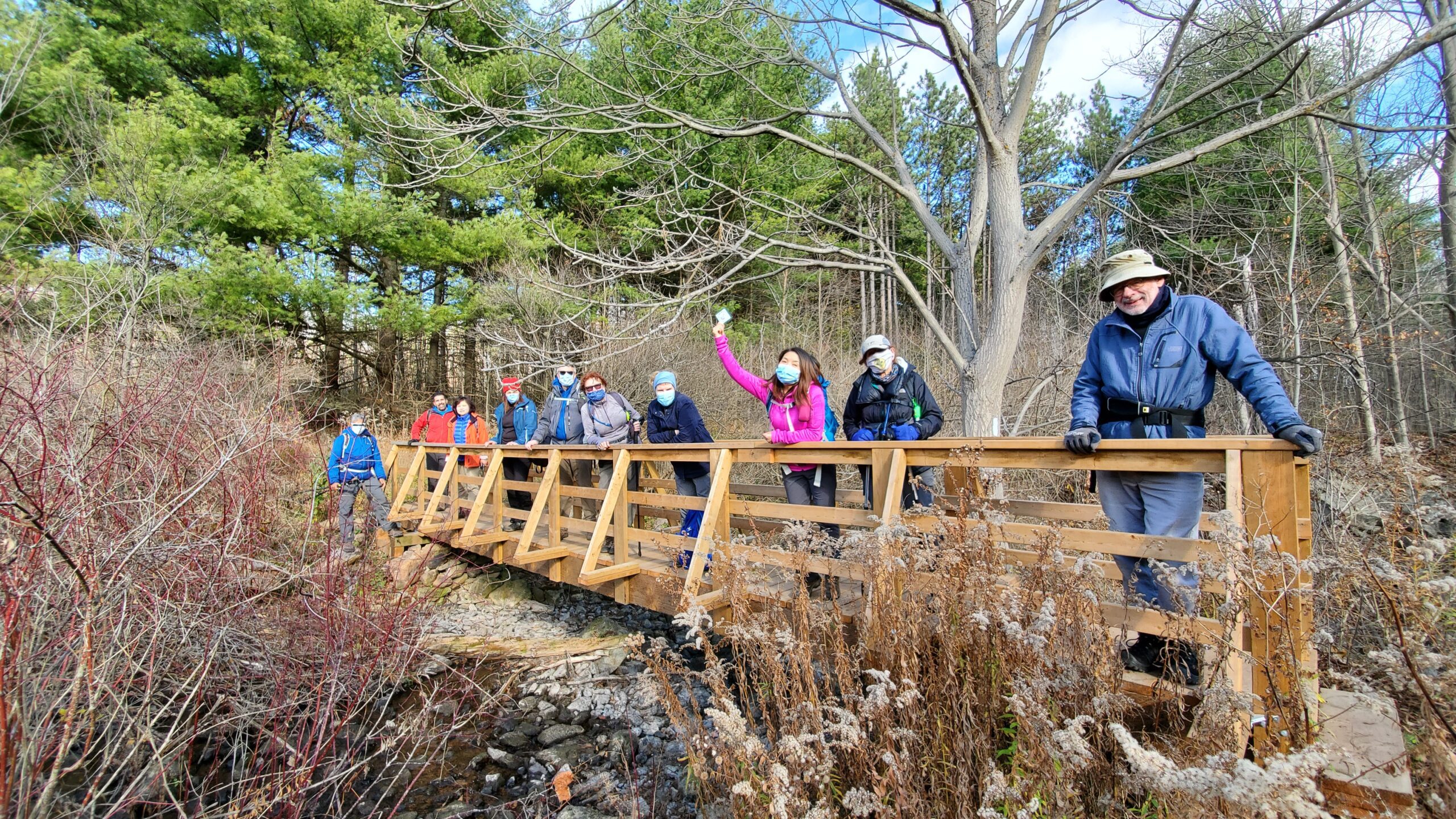
#1/3 Toronto E2E & in Memory of Doug Sloan - 18KM
https://hikes.brucetrail.org/event/hike-in-memory-of-doug-sloan-from-speyside-to-kelso-18km/Sorry, the registration cut-off time for this hike has been reached.Not a member? Click here to join today!Hosting Club: Toronto
Category: Car Hike
Location (Google Maps): KM121.3. Kelso Conservation AreaHike Leader(s): Alina Lin
Pace: Brisk (4-5 km/hr)
Terrain: Challenging, Hilly, Level 2 (Intermediate – some hills and uneven surfaces, rocks and roots underfoot), Rocky, Variable
Distance: 19 kmDescription
If you have been a member of the Bruce Trail community long enough, you might have heard of Doug Sloan, a legendary hiker who completed the Bruce Trail End-to-End more than 50 times—he actually achieved his 50th completion in 2015 and stopped counting afterward, though he continued hiking until he passed away in December 2021. As an avid hiker, committed Hike Leader and Trail Captain, and passionate supporter of the Bruce Trail, Doug made countless friends on the trail and inspired many with his remarkable dedication and accomplishments. In May 2024, a plaque “The Doug Sloan Wetland” was unveiled in Speyside to honour his contributions and achievements.My last hike with Doug was on November 14, 2020, when he joined the final hike of a Toronto Section double-badge End-to-End series I led, during which he presented badges to qualifying hikers. That hike took place between Kelso Conservation Area and Speyside.
It feels fitting that my current End-to-End journey brings me back to the same area around the same time of year. On November 15, 2025, I am leading a hike from Speyside to Kelso Conservation Area and making it a hike in memory of Doug Sloan. Our hike will start at Speyside, where Doug’s commemorative plaque stands, and end at Kelso, where this group photo was taken back on November14, 2020.
Meeting Point:
Kelso Conservation Area parking lot. Enter from Tremaine Rd between Steeles Ave nd Highway401. GPS: 43.503204, -79.947548. Entrance fee applies at Kelso Conservation Area, see details at https://www.conservationhalton.ca/park-fees-membership-rates/ Please arrive at the parking lot before 8:45am to allow time for car shuttle coordination.We will car shuttle to Toronto Section KM14.1. 17th side road, GPS: 43.592859,-79.980456. From there to hike back to Kelso Conservation Area.
All drivers are expected to participate in the car shuttle, either before or after the hike. All hikers are expected to chip in for parking fees, if applicable.
Important Notes:
- Wear sturdy hiking footwear and dress appropriately for the weather
- Bring snacks, and at least 1.5L of water
- No dropouts available.
- No pets.

Terra Cotta/Heritage Road loop
https://hikes.brucetrail.org/event/terra-cotta-heritage-road-loop-3/Sorry, the registration cut-off time for this hike has been reached.Not a member? Click here to join today!Hosting Club: Iroquoia
Category: General Hike
Location (Google Maps): Roadside on Winston Churchill Blvd, just north of Terra Cotta Conservation Area. Meet at 9:15 am, earlier if you can, as parking is limited.Hike Leader(s): Karen Bergmann Click here to contact Hike Leader(s)
Pace: Medium – 3 to 4 km/hr
Terrain: Moderate – Some hills and/or some poor footing
Distance: 8.5 kmsDescription
We will meet at 9:15 am roadside on Winston Churchill Blvd, just north of Terra Cotta. Parking is limited, so try to come closer to 9 am in case there are other cars.Hiking along the main trail, across Heritage Rd and around to the Rockside Side Trail and back on the main trail to the cars. This trail has some easy parts and some challenging rocky parts, so come prepared. There’s a bit of road walking.
Rainbow/Welcome Hike: Cave Springs Loop
https://hikes.brucetrail.org/event/rainbow-welcome-hike-cave-springs-loop/Sorry, the registration cut-off time for this hike has been reached.Not a member? Click here to join today!Hosting Club: Niagara
Category: Loop
Location (Google Maps): Quarry Road Parking Lot, Beamsville https://maps.app.goo.gl/XZGtvFN5kkjU8Py29Hike Leader(s): Angela Lytle Click here to contact Hike Leader(s)
Pace: Medium
Terrain: Moderate
Distance: 6 kmDescription
Join the Niagara Bruce Trail Club, Bridges Niagara Immigrant and Refugee Services and PFLAG Niagara for a Rainbow-Welcome Hike at Cave Spring Conservation Area in Lincoln!Enjoy the autumn woods and visit some interesting natural and historical landmarks along the way!
What is a Rainbow-Welcome Hike?
This hike series aims to create opportunities for newcomers to enjoy the outdoors in all four seasons.
The goal of the Rainbow Welcome hikes is to create an intentional space where 2S-LGBTQIA+ immigrants can be in community with other 2S-LGBTQIA+ folks as well as other community members who do not identify as 2S-LGBTQIA+.
Hike Details
Route: This hike loops from Quarry Rd in Beamsville along the Bruce Trail to Cave Spring Conservation area and back. Cave Spring has historical and folkloric sites of interest so we will stop along the way to see some of these and learn a little local history and lore.
Terrain: The path to Cave Spring runs along the escarpment edge and is quite rocky and has some hills. We will adjust the pace to the group but be prepared for some rocky, uneven footing and clambering up and down. We recommend using hiking poles and wearing good hiking shoes is a must. Carry water and dress for changeable weather.
Note: There are no toilets on this route.
***Please arrive by 9:50 to check in with the hike leader for departure at 10.
Meet at the parking lot on Quarry Road in Beamsville: https://maps.app.goo.gl/XZGtvFN5kkjU8Py29
Note parking is limited so please carpool with others if possible. When the small lot is full, there is roadside parking along Quarry Rd.

GeoHike Series #4: Lavender Hill
https://hikes.brucetrail.org/event/geohike-series-4-lavender-hill/Sorry, the registration cut-off time for this hike has been reached.Not a member? Click here to join today!Hosting Club: Dufferin Hi-Land
Category: General Hike
Location (Google Maps): Meet at Lavender Cemetery. We will car shuttle to Noisy River Provincial Nature Reserve and hike back to the cars.Hike Leader(s): Lynda Bloom; Margery Cruise Click here to contact Hike Leader(s)
Pace: Brisk, Medium
Terrain: Moderate, Slippery Sections Likely
Distance: 7 kmDescription
We will enjoy a hike in and out of woods and pastureland, passing deep crevices and lookouts. The Trail descends the Escarpment and we will cross the bridge over the Noisy River. We will spend some time discussing the geology and landscape led by a professional geologist. Come with your questions about the rocks!West Rocks loop
https://hikes.brucetrail.org/event/west-rocks-loop/Sorry, the registration cut-off time for this hike has been reached.Not a member? Click here to join today!Hosting Club: Sydenham
Category: Family Hike
Location (Google Maps): roadside parking at the end of Concession 3 in Owen SoundHike Leader(s): Danuta Valleau
Pace: Leisurely: 3 km/h or less
Terrain: Moderate: Some hills and/or poor footing, There might be icy and slippery sections.
Distance: appox 4 kmDescription
Meet in parking area within 15 minutes before start of hike. We will follow Main Trail east and north for approx 2 km. Return on Derby Forest Side Trail west and south to complete loop. If time allows, we can explore one of the Springmount Forest Trails. If conditions are icy, non-slip shoe grips are recommended. Bring water and walking stick or poles if you have them.