
The BTC office will be closed on Mon. Oct. 12 for the holiday. Thank you for your understanding.
Hike Schedule
Join us for a hike! Registration required.
All hikes available to BTC members. Some hikes are open to non-members.
See Refund Policy for Paid Hikes >
TIP: The calendar view displays up to 7 hikes on a day, but often there are more. Click “View more events” to see them all.
Niagara
Iroquoia
Toronto
Caledon Hills
Dufferin Hi-Land
Blue Mountains
Beaver Valley
Sydenham
Peninsula
All Clubs
Show Filters
Categories
Reset Filters
- 16November 16, 2025
Car Hike: Hockley Rd. to 4th Line EHS
https://hikes.brucetrail.org/event/car-hike-hockley-rd-to-4th-line-ehs-2/Sorry, the registration cut-off time for this hike has been reached.Not a member? Click here to join today!Hosting Club: Caledon Hills
Category: General
Location (Google Maps): Hockley Rd. parking area, east of km 61.1, located on the north side of Hockley Rd. at the Hockley Rd. Side Trail.Hike Leader(s): Lana Hubbard Click here to contact Hike Leader(s)
Pace: Brisk – 4 to 5 km/hour
Terrain: Strenuous – hilly with steep climbs and some poor footing
Distance: 14.5 kmDescription
Join me for a grueling fall hike as we go from the main parking lot on Hockley Rd. to 4th Line EHS and back. This will complete a 14.5 km loop.Pace will be brisk, make sure to pack a lunch, sunscreen and bug repellent, at least 2L of water and good hiking boots.
We will be taking our lunch at 11-11:30 depending on how the group feels.
Urban Walk: Rosedale Ravines
https://hikes.brucetrail.org/event/urban-walk-rosedale-ravines-3/Sorry, the registration cut-off time for this hike has been reached.Not a member? Click here to join today!Hosting Club: Toronto
Category: Urban Walk
Location (Google Maps):Meet Pleasant Blvd Exit, St Clair Subway Station
Hike Leader(s): Tom Swales Click here to contact Hike Leader(s)
Pace: Moderate (3-4 km/hr)
Terrain: Level 1 (Easy – mostly on flat, well maintained trails with hard-packed surface), Variable
Distance: 10 kmDescription
Join us for a morning circular walk through David Balfour Park, Park Drive Reservation, the Evergreen Brickworks, Moore Park Ravine and Mount Pleasant Cemetery. On this walk we find nature close to the heart of the city.Exploring Sydenham Hike #35 Lindenwood
https://hikes.brucetrail.org/event/exploring-sydenham-hike-35-lindenwood/Sorry, the registration cut-off time for this hike has been reached.Not a member? Click here to join today!Hosting Club: Sydenham
Category: General Hike
Location (Google Maps):The Owen Sound Galaxy Cinema parking lot. Meet at the tall “Galaxy Centre” sign next to the traffic lights.
Hike Leader(s): Bill Snel Click here to contact Hike Leader(s)
Pace: Leisurely: 3 km/h or less
Terrain: Easy: Mostly flat and good footing.
Distance: 2.3 kmDescription
We will carpool to do a loop hike of Lindenwood. This is hike 35 in the book Exploring Sydenham. There will be one secret to find. If you do not have a book and would like one ($30) let me know by using the “Contact hike leader” link. - 17November 17, 2025
Niagara End-to-End #5 of 6
https://hikes.brucetrail.org/event/niagara-end-to-end-5-of-6/Sorry, the registration cut-off time for this hike has been reached.Not a member? Click here to join today!Hosting Club: Niagara, Iroquoia
Category: General Hike
Location (Google Maps): Parking Lot – Kinsmen Park, enter from Hixon Street at the intersection of Kinsmen Road and Frost StreetHike Leader(s): Pati Greenwood, Jeff Dowsett Click here to contact Hike Leader(s)
Pace: Medium – 3 to 4 km/hr
Terrain: Moderate – Some hills and/or some poor footing
Distance: 13.6 kmDescription
This is an End-to-End hike series to complete the Niagara section of the Bruce Trail in 6 hikes. Join for all or as many hikes as desired.This fifth hike of the series picks up where we left off at the Jordan Hollow Side Trail. We will pass by Balls Falls and follow the escarpment to Kinsmen Park, where the hike will end.
Weather conditions in the fall can be changeable, so it’s best to dress in layers and come prepared for varying conditions throughout the day. Insects, particularly ticks, are still active in the fall months, so take appropriate precautions to avoid them including using repellant and wearing clothing that covers the legs and arms. Hiking boots are required and hiking poles are recommended.
Bring plenty of fluids, including electrolytes, and a snack.
Since this is a group hike, please consider your fitness level before registering. We will be walking at a pace of 3km – 4km per hour and everyone is expected to keep up with the person in front of them for the duration of the hike.
Plan to arrive at the meeting place by 8:15 a.m. as we will start the car shuffle to the hike starting point at 8:30 a.m. sharp. Further details will be provided to registered hikers a few days prior to the hike.
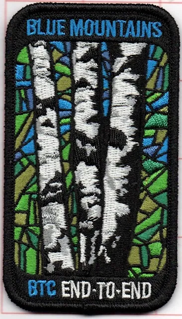
Blue Mountain End to End (Stained Glass badge)
https://hikes.brucetrail.org/event/blue-mountain-end-to-end-stained-glass-badge/Sorry, the registration cut-off time for this hike has been reached.Not a member? Click here to join today!Hike open to BTC Members only.
This is a Multi-Day Hike
You are signing up for the following dates and times:
2025-11-17 at 09:00
2025-11-24 at 09:00
2025-12-01 at 09:00
2025-12-08 at 09:00Hosting Club: Blue Mountains, Sydenham
Category: Fundraiser
Location (Google Maps): Parking area for Nottawasaga Valley CA (parking fee of $10) off 2nd Line south of New Mountain Rd.Hike Leader(s): Karen Buschert Click here to contact Hike Leader(s)
Pace: Medium: 3 to 4 km/h
Terrain: Strenuous: Hilly with steep climbs and some poor footing., There might be icy and slippery sections.
Distance: Distances range from 11-22 km per day depending on parking availability and terrainDescription
Complete the Blue Mountain End to End southbound over 4 weekdays to earn the lovely Stained Glass badge. Hikes will be a moderate pace with time taken to enjoy interesting natural features and even take in some cool side trails along the way! This section has some hilly sections so hikers should be in good physical condition and be able to walk for 5 or more hours per day.*Note that there will be parking fees charged in several locations as we do our car shuttling. Fees are $10 per day or $70 for an annual membership through Nottawasaga Valley Conservation Authority: https://www.nvca.on.ca/conservation-areas/parking-fees/
- 18November 18, 2025

Heather & Steve's 3rd Annual Fall Cairn to Cairn - Toronto section
https://hikes.brucetrail.org/event/heather-steves-3rd-annual-fall-cairn-to-cairn-toronto-section/Sorry, the registration cut-off time for this hike has been reached.Not a member? Click here to join today!Hike open to BTC Members only.
This is a Multi-Day Hike
You are signing up for the following dates and times:
2025-11-18 at 07:45
2025-11-19 at
2025-11-20 atHosting Club: Toronto, Caledon Hills
Category: End-to-End
Location (Google Maps): Roadside parking – north of km 32.3 (Map 13) on the eastern shoulder of Eighth Line at the southernmost intersection with 27 Sideroad. (Capacity 4 cars)Hike Leader(s): Heather Murch Click here to contact Hike Leader(s)
Pace: Brisk – 4 to 5 km/hour
Terrain: Strenuous – hilly with steep climbs and some poor footing
Distance: 18.5 kmDescription
This hike series covers the Toronto section; 51 km over 3 days.We will meet each morning at 7:45 and be ready to shuttle at 8:00. Hikers will take turns shuttling and taking drivers to their cars each day. Any parking costs will be shared among hikers.
Hikers should wear layered clothing, hiking boots, poles, hat, sunscreen, bug spray, rain gear and bring plenty of water, snacks and lunch. We will hike rain or shine.
Full itinerary will be emailed to hikers the week before the first hike.
Urban Walk: Valley View Park Thornhill
https://hikes.brucetrail.org/event/urban-walk-valley-view-park-thornhill-118/Sorry, the registration cut-off time for this hike has been reached.Not a member? Click here to join today!Hosting Club: Toronto
Location (Google Maps): Parking lot is off Sycamore Drive East of Bayview , across Starbucks plaza
Bus 91 from Finch east station stops at Sycamore station.Hike Leader(s): Mohammad Aghamiri Click here to contact Hike Leader(s)
Pace: Moderate (3-4 km/hr)
Terrain: Hilly, Level 2 (Intermediate – some hills and uneven surfaces, rocks and roots underfoot)
Distance: 7-8 kmDescription
We will explore Valleyview and Maple View parks, and walk along German Mill Creak, in return we stop in Huntington park and have snack under beautiful shed ,Even it is considered Urban walk, it is urban hike as we have some up and down hills and tree roots, please bring your hiking poles, water and snacks,
phone number for the day of hike 289 588 6482
9:00 Long Hike Wiley Road Short Hills NEW TIME
https://hikes.brucetrail.org/event/900-long-hike-wiley-road-short-hills-new-time-6/Sorry, the registration cut-off time for this hike has been reached.Not a member? Click here to join today!Hosting Club: Niagara
Location (Google Maps):
Short Hills Wiley Road Entrance
Pace: Medium
Terrain: Moderate
: 10kmDescription
Explore Short Hills and the majestic side trails of Scarlett Tanager, Hemlock. Swayze Falls and Terrace. Register for each hikeBring Poles, , snack, and dress for the weather
9:15 Short Hike - Short Hills Park, Pelham Rd
https://hikes.brucetrail.org/event/915-short-hike-short-hills-park-pelham-rd-35/Sorry, the registration cut-off time for this hike has been reached.Not a member? Click here to join today!Hosting Club: Niagara
Category: Hike
Location (Google Maps): Short Hills Provincial Park, Pelham Rd entranceHike Leader(s): Sheila Massey Click here to contact Hike Leader(s)
Pace: Medium
Terrain: Moderate
Distance: ~ 6kmsDescription
Hike the main and side trails in Short Hills Provincial Park. Bring hiking boots, water, sunscreen and bug spray.Short Hills
https://hikes.brucetrail.org/event/short-hills/Sorry, the registration cut-off time for this hike has been reached.Not a member? Click here to join today!Hosting Club: Niagara
Category: Hike
Location (Google Maps): 1208 Pelham Road St. CatharinesHike Leader(s): Sheila Massey Click here to contact Hike Leader(s)
Pace: Medium
Terrain: Moderate
Distance: 7 kmDescription
Hiking trails around Short Hills Provincial ParkWalter Tovell, Main Trail; McCarston lake side trail, Lookout side trail ,
https://hikes.brucetrail.org/event/walter-tovell-main-trail-mccarston-lake-side-trail-lookout-side-trail/Sorry, the registration cut-off time for this hike has been reached.Not a member? Click here to join today!Hosting Club: Dufferin Hi-Land
Category: Tuesday Hike
Location (Google Maps):Dufferin Hi-Land Section, Map 19. Meet at Split Rock parking lot on 2nd line EHS about 1.5 km north of 25 Sideroad at 9:30 AM
We will car pool to 25th Sideroad
Hike Leader(s): Inge Eckerich, Julie Daley, Tony Evangelista Les Babbage Click here to contact Hike Leader(s)
Pace: Leisurely
Terrain: Moderate
Distance: Long hike 7 km, Short hike 3.7 kmDescription
We will start at 25th sideroad. Hike will include Walter Tovell, Main, McCarston Lake and Lookout trails, we will return to parking lot via Split Rock ST. Short hike can do Split Rock TrailBoyne Valley - Dufferin Hi-Lands
https://hikes.brucetrail.org/event/boyne-valley-dufferin-hi-lands/Sorry, the registration cut-off time for this hike has been reached.Not a member? Click here to join today!Hosting Club: Caledon Hills
Category: Tuesday Hikers
Location (Google Maps): Drive north on Hwy 10 past Orangeville. At Primrose continue straight ahead on Prince of Wales Rd. (County Rd. 19) for 2 km to roadside parking on your right where the Primrose Loop Side Trail crosses the road. (Note: this location is one km north of the off-road parking lot where we often park).Hike Leader(s): Peter Leeney Click here to contact Hike Leader(s)
Pace: Medium – 3 to 4 km/hour
Terrain: Moderate – some hills and/or some poor footing
Distance: 12 kmDescription
From Prince of Wales Rd. we will hike east into Boyne Valley. This is a there & back hike with some variation on the return to our starting point. - 19November 19, 2025

Iroquoia In 6 Stained Glass Fundraiser Series
https://hikes.brucetrail.org/event/iroquoia-in-6-stained-glass-fundraiser-series/Sorry, the registration cut-off time for this hike has been reached.Not a member? Click here to join today!Hike open to BTC Members only.
This is a Multi-Day Hike
You are signing up for the following dates:
2025-11-19, 2025-11-20, 2025-11-21, 2025-11-26, 2025-11-27, 2025-11-28Hosting Club: Iroquoia
Category: General Hike
Location (Google Maps): Day 1 only, meet at Greenhill Ave.Hike Leader(s): Margaret O’Dell Click here to contact Hike Leader(s)
Pace: Brisk: 4 to 5 km/h, Fast: more than 5 km/h
Terrain: Moderate: Some hills and/or poor footing, Strenuous: Hilly with steep climbs and some poor footing.
Distance: Hikes average 21K per hikeDescription
Join me on this End to End series of the Iroquoia section, completing the section in 6 hikes, in support of the Iroquoia Bruce Trail Club and the opportunity to complete your badge collection with the beautiful Jefferson Salamander badge.This is a Challenger series of hikes; we will complete the entire 120.6 km of the Iroquoia section in 6 hikes at a brisk to fast pace. You are registering for 6 hikes, please review the dates carefully to ensure you are able to participate fully. Registration is limited to 6 persons.
- This hike series is intended for experienced distance hikers only. Hikers must be able to sustain the distance and maintain a fast pace.
- If a hiker is unable to keep pace with the group, or finds the distance too challenging, their future hike registrations may be canceled by the hike leader.
- Be aware of your ability to keep pace with the group.
- Hikes will average 4.5 km per hour including breaks, moving pace is 5 km per hour;
- Expect to be on-trail for 4 – 6 hours;
- Please arrive no later than 15 minutes prior to the meeting time;
- Hikers must carry sufficient hydration, accessible snacks, first-aid kit, and dress according to the weather;
- Hikers will be expected to participate in shuttling hikers to the start and to drive shuttlers back to their car. Responsibility will be shared equally;
- Any applicable parking fees will be shared within the group.
Summary of the itinerary (km based on Bruce Trail Reference – Edition 31):
- Nov 19: Grimsby to Veever’s Park ST – 22.4 km
- Nov 20: Filman Rd to Veever’s Park ST – 22.0 km
- Nov 21: Filman Rd to Old Guelph Rd – 21.0 km
- Nov 26: Old Guelph Rd to Guelph Line – 19 km
- Nov 27: Guelph Line to Twiss Rd – 20.0 km
- Nov 28: Hilton Falls to Twiss Rd – 19.0 km
A detailed schedule will be provided in advance of the series to registered hikers.
If you have concerns, or questions please use the Contact Hike Leader form to inquire in advance of registering.
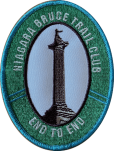
Niagara E2E in 6
https://hikes.brucetrail.org/event/niagara-e2e-in-6/Sorry, the registration cut-off time for this hike has been reached.Not a member? Click here to join today!Hosting Club: Niagara
Category: Car Pool
Location (Google Maps): Meet at Kinsmen park parking lot – at the end of Frost Rd, Lincoln. Carpool to Lions Club pool, 1 Elm St, Grimsby.Hike Leader(s): Margaret Northfield Click here to contact Hike Leader(s)
Pace: Medium
Terrain: Strenuous
Distance: 13.4kmDescription
This End-to-End series will start in Grimsby and end in Queenston. Upon completion of all 6 hikes, you can earn the new independent Brock monument badge. $10 for members and $15 for non-members. We will be carpooling and will ask for volunteers to drive other hikers. Please take turns with the driving.Poles, water and snack recommended.
Nottawasaga Lookout
https://hikes.brucetrail.org/event/nottawasaga-lookout/Sorry, the registration cut-off time for this hike has been reached.Not a member? Click here to join today!Hosting Club: Blue Mountains
Category: Organized Hike
Location (Google Maps): Tim Horton’s, First Street CollingwoodHike Leader(s): Claire Pearson Click here to contact Hike Leader(s)
Pace: Medium – 3 to 4 km/hr
Terrain: Moderate – Some hills and/or some poor footing
Distance: 5.7kmDescription
Enjoy a morning of forest bathing along the Bruce Trail. There is lots to see on this hike – the preserved lime kiln, the “wedding tree”, the crevasses alongside the trail, and the amazing views overlooking the Georgian Bay area.After meeting at Tim Horton’s, First Street, Collingwood, we will begin our shuttle hike where the Bruce Trail crosses County Rd 91 (at km 37.4 from map 22). We will walk along Franks Lime Kiln Side Trail and then head north through the maple forest. We will then cross 26/27 Sideroad and continue following the Bruce Trail through the Nottawasaga Lookout Provincial Nature Reserve to km 42.4 (map 23).
EASY DOES IT HIKE, Welland Canal hike (South)
https://hikes.brucetrail.org/event/easy-does-it-hike-welland-canal-hike-south/Sorry, the registration cut-off time for this hike has been reached.Not a member? Click here to join today!Hosting Club: Niagara
Category: Leisurely
Location (Google Maps): Park at Merritt Island Parking Lot.Hike Leader(s): Diane Marlatt Click here to contact Hike Leader(s)
Pace: Leisurely
Terrain: Easy
Distance: 3-5 KmDescription
Walter's Falls: Hike and Lunch
https://hikes.brucetrail.org/event/walters-falls-hike-and-lunch-2/Sorry, the registration cut-off time for this hike has been reached.Not a member? Click here to join today!Hosting Club: Beaver Valley
Location (Google Maps): Meet in the parking lot of Walter’s Falls Inn.
Hike Leader(s): Margaret Yaraskavitch Click here to contact the hike leader.
Pace: Medium
Terrain: Moderate
Length of Hike: 3.5kmDescription
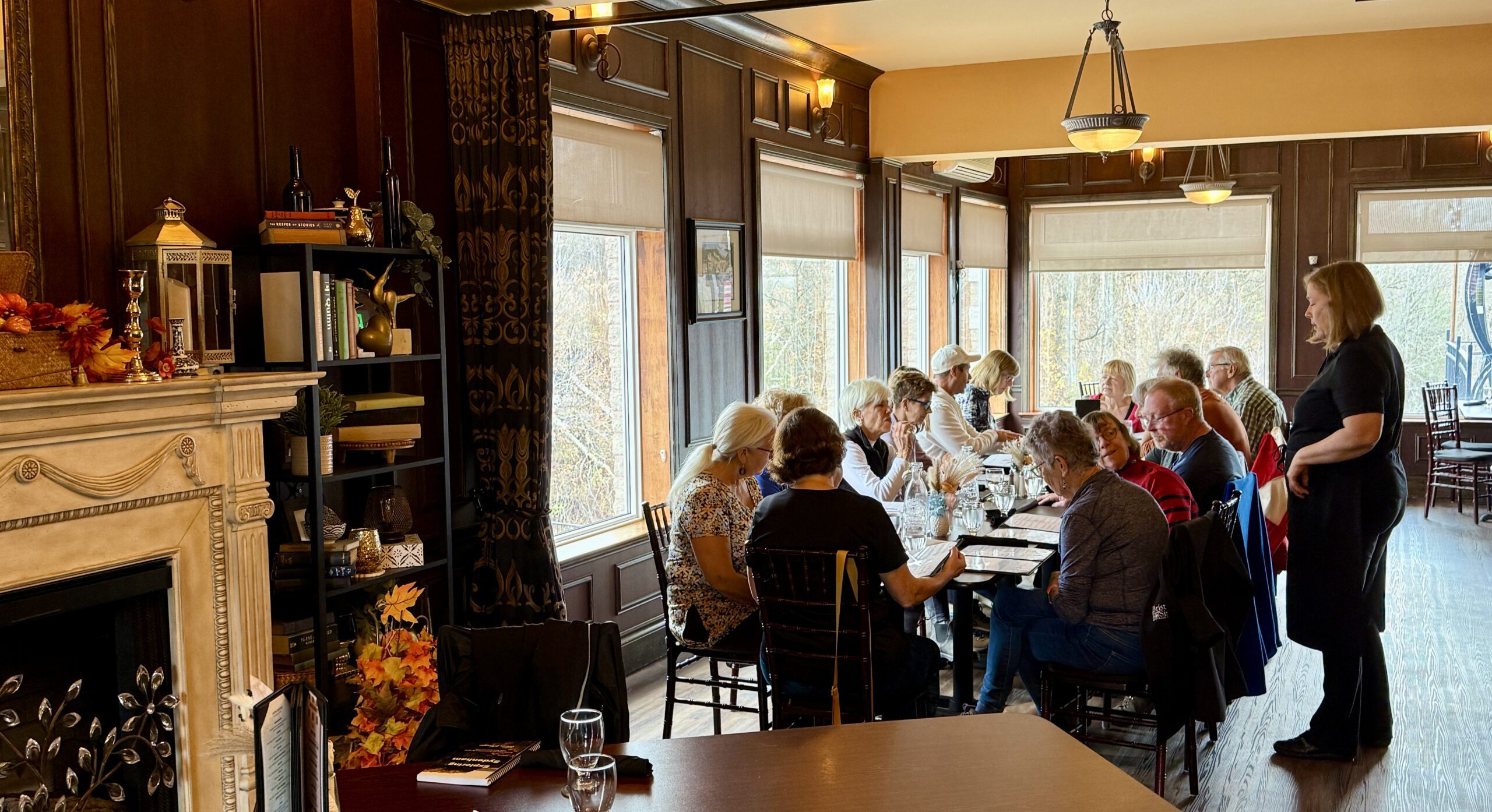
Walter’s Falls Inn is a popular dining place! We’ll walk from Walter’s Falls through cedars along Walter’s Creek. After hiking on the Walter’s Falls Side Trail, we’ll take in part of the Main Trail and then loop back on the Side Trail. We’ll see historic features of the old saw mill. Hike participants can come for just the hike or do the hike and be part of the lunch group. A group reservation will need to be made in advance.Guidelines
- Arrive 15 minutes before the start of the hike.
- Wear sturdy footwear and appropriate attire for the weather and the terrain.
Hiking poles are a good idea in any season, especially if the terrain is rocky or slippery. In winter, snowshoes or icers/crampons are needed when conditions dictate.
Wearing appropriate clothing and footwear prevents injuries and shows consideration for a safe and positive group hiking experience. - Always carry I.D. and your health card.
- Bring sufficient water and snacks (or lunch if indicated). A minimum of 1L of water is recommended on all hikes, and 3L is recommended for long, challenging hikes in the heat of the summer.
- Bring sunscreen and insect repellent (for spring and summer hikes).
- Bring your own first aid kit.
- Please leave dogs at home.
Good Companions - Dundas Valley from Sanctuary Park
https://hikes.brucetrail.org/event/good-companions-dundas-valley-from-sanctuary-park-3/Sorry, the registration cut-off time for this hike has been reached.Not a member? Click here to join today!Hosting Club: Iroquoia
Category: Good Companions
Location (Google Maps):Parking lot for Sanctuary Park – See map and address below (if parking lot is full, park on adjacent side streets)
Hike Leader(s): Ted Bossence Click here to contact Hike Leader(s)
Pace: Medium – 3 to 4 km/hr
Terrain: Strenuous – Hilly with steep climbs and some poor footing
Distance: 8 kmDescription
From Sanctuary Park we will hike the Spring Creek trail and parts of the Sawmill trail to the Trail Centre. After a break, (washrooms “should” be available at the trail centre) we will walk to the south side of the rail trail and take the Main Loop, Sulphur Creek, local access trails and rail trail back to the parking lot.Please arrive 15 minutes before the start time. I will be leaving at 10:00 am sharp. Bring water, sunscreen, insect repellant, a first aid kit and a snack. Poles are highly recommended due to the number of hills and some hills may be slippery if it has rained recently. I will cancel the hike in case of rain. Please check your email the evening before the hike in case of a cancellation. If you must cancel after the 4:00 pm Tuesday cut-off time I will be sending contact info on the Tuesday.
- 20November 20, 2025
Urban Walk: Valley View Park Thornhill
https://hikes.brucetrail.org/event/urban-walk-valley-view-park-thornhill-119/Sorry, the registration cut-off time for this hike has been reached.Not a member? Click here to join today!Hosting Club: Toronto
Location (Google Maps): Parking lot is off Sycamore Drive East of Bayview , across Starbucks plaza
Bus 91 from Finch east station stops at Sycamore station.Hike Leader(s): Mohammad Aghamiri Click here to contact Hike Leader(s)
Pace: Moderate (3-4 km/hr)
Terrain: Hilly, Level 2 (Intermediate – some hills and uneven surfaces, rocks and roots underfoot)
Distance: 7-8 kmDescription
We will explore Valleyview and Maple View parks, and walk along German Mill Creak, in return we stop in Huntington park and have snack under beautiful shed.Although this is considered an “Urban Walk”, you can expect some hills up and down and uneven surfaces with tree roots. Please bring hiking poles, water and snacks.
phone number for the day of hike 289 588 6482
9:00 am Long Hike Cave Spring Conservation Area NEW TIME
https://hikes.brucetrail.org/event/900-am-long-hike-cave-spring-conservation-area-new-time-5/Sorry, the registration cut-off time for this hike has been reached.Not a member? Click here to join today!Hosting Club: Niagara
Location (Google Maps):
Cave Spring Conservation Area
Pace: Medium
Terrain: Moderate
: 10kDescription
This will be our permanent Thursday Location until Bridge repairs complete. From Cave Spring Conservation Area explore the trail network on the escarpment towards Kinsman Park and Moyer Road.You must register for each hike. Bring Poles, snack and a drink. Dress for the weather
Hiking Around Jordan
https://hikes.brucetrail.org/event/hiking-around-jordan-36/Sorry, the registration cut-off time for this hike has been reached.Not a member? Click here to join today!Hosting Club: Niagara
Category: Hike
Location (Google Maps): 3640 Glen Road, Lincoln LOR 1SOHike Leader(s): Bill Russell Click here to contact Hike Leader(s)
Pace: Medium
Terrain: Moderate
Distance: 7 kmDescription
Hiking in and around Jordan, Jim Rainforth Trail and Balls Falls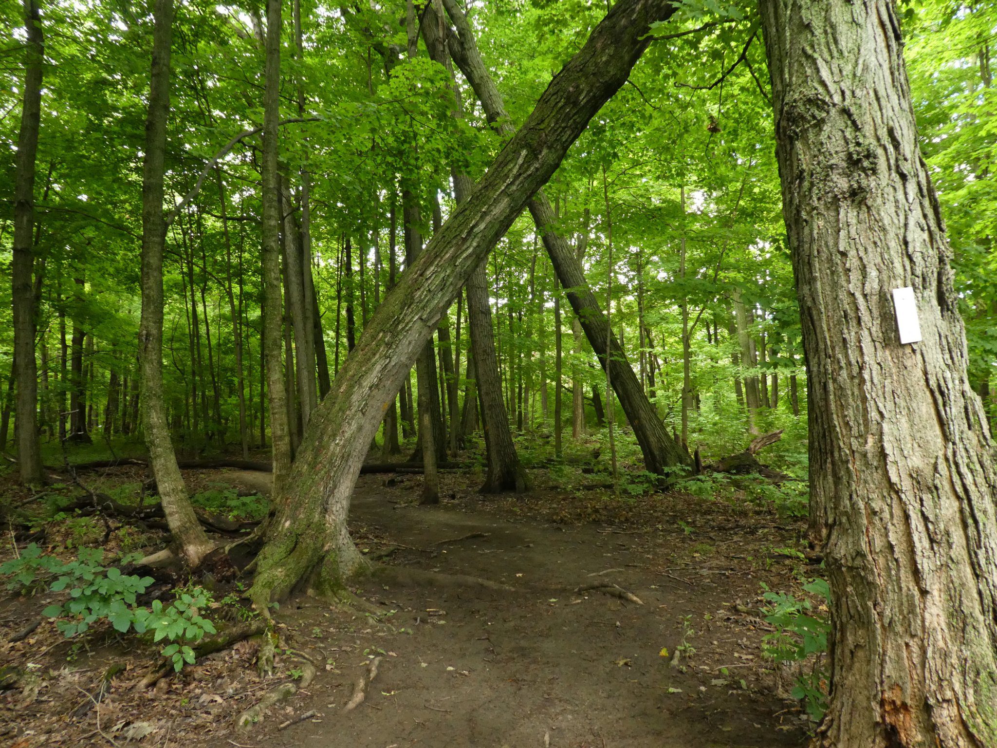
Cityview Park
https://hikes.brucetrail.org/event/cityview-park-2/Sorry, the registration cut-off time for this hike has been reached.Not a member? Click here to join today!Hosting Club: Iroquoia
Category: General Hike
Location (Google Maps): Meet at 9:15 am in the parking lot at Cityview Park, at the second entrance on Kerns RdHike Leader(s): Karen Bergmann Click here to contact Hike Leader(s)
Pace: Medium – 3 to 4 km/hr
Terrain: Moderate – Some hills and/or some poor footing
Distance: 8 kmsDescription
Meeting in the parking lot at the 2nd (southern) entrance to Cityview Park on Kerns Road, we will hike the main trail, bike trails and side trails for a large loop. - 21November 21, 2025
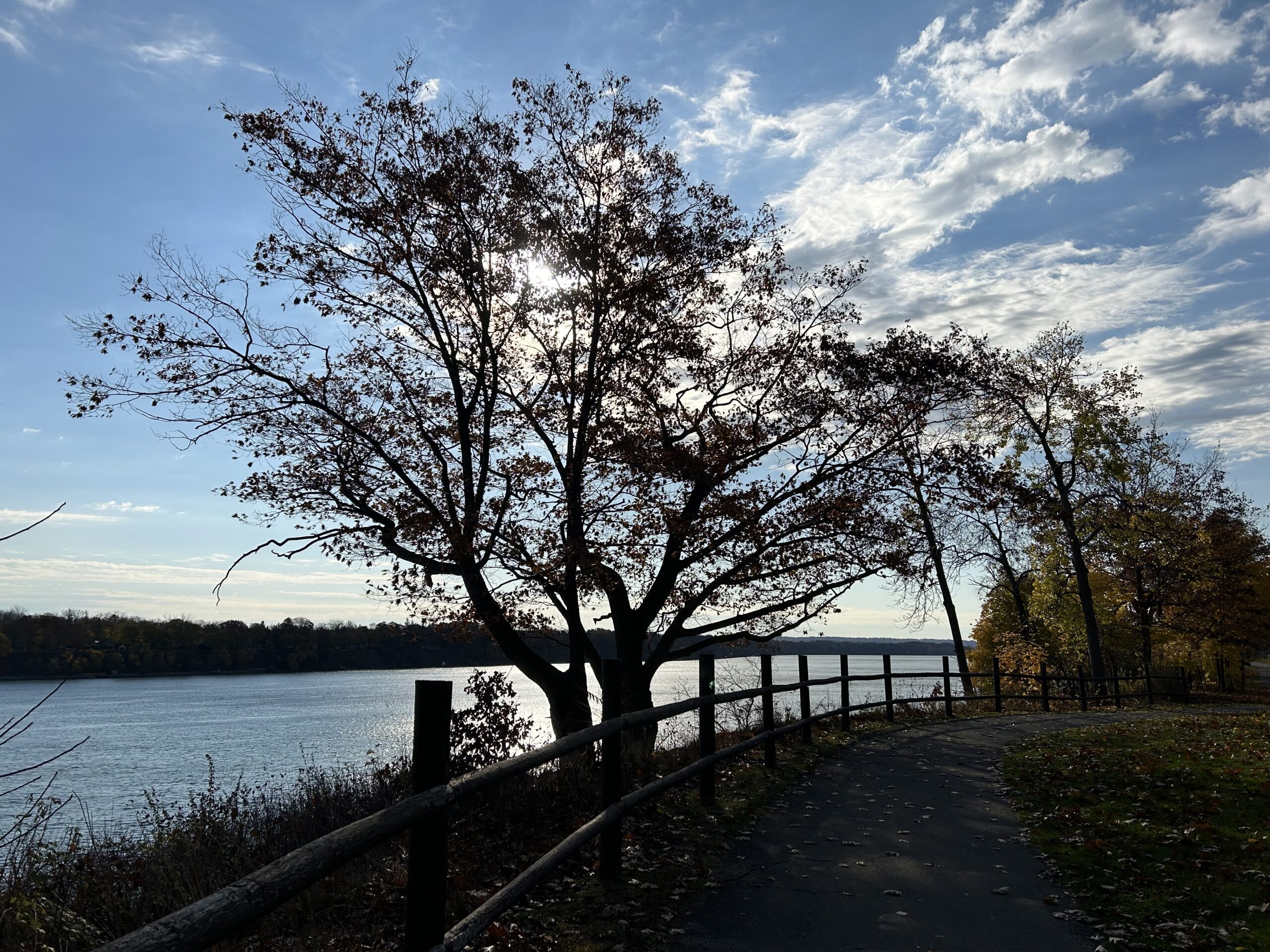
9:00 am Niagara-on-the-Lake Tour
https://hikes.brucetrail.org/event/900-am-niagara-on-the-lake-tour-49/Sorry, the registration cut-off time for this hike has been reached.Not a member? Click here to join today!Hosting Club: Niagara
Category: Urban
Location (Google Maps):Veterans Memorial Park, park just outside the park on King Street
Hike Leader(s): Robin Garrett Click here to contact Hike Leader(s)
Pace: Medium
Terrain: Easy
Distance: 6-7 kmDescription
Each Friday we will explore different neighbourhoods, trails and parkland throughout Historic Niagara-on-the-Lake.Moderate pace with some weeks entirely on sidewalks and roads while others may include a mix of trails and paved pathways. Great way to build up endurance for longer more strenuous hikes.
Prepare for cooler windy conditions on open parkland and along Lake Ontario and Niagara River trails.
Plan to stay for conversation and a warm cup of coffee or tea at Sweets & Swirls, Community Centre, Niagara Stone Road, NOTL
Hilton Falls Side Trail
https://hikes.brucetrail.org/event/hilton-falls-side-trail/Sorry, the registration cut-off time for this hike has been reached.Not a member? Click here to join today!Hosting Club: Dufferin Hi-Land
Category: General Hike
Location (Google Maps): Gate to Hilton Falls Conservation Area on Campbellville Road. Please see Google Maps link for GPS.Hike Leader(s): Stuart Law
Pace: Medium
Terrain: Slippery Sections Likely, Moderate
Distance: 16 kmsDescription
Please join us on a hike along the Hilton Falls Side Trail from the Pear Tree parking lot to the Hilton Falls CA parking lot. Some rocks for sure but worth the opportunity to ramble quietly through the woods with friends. Please bring a warm drink, a snack, a lunch and a smile. Icers should be in your backpack too given the time of year. Hiking boots mandatory. Poles recommended. This is a shuttle hike so please bring a change of footwear and a garbage bag for your dirty boots. Possible Halton Conservation fee if we don’t have enough hikers with annual passes. I will touch base with registrants on this prior to the hike. Please be ready to shuttle at 9:15 sharp.Rucking for Beginners Series
https://hikes.brucetrail.org/event/rucking-for-beginners-series/Sorry, the registration cut-off time for this hike has been reached.Not a member? Click here to join today!This is a Multi-Day Hike
You are signing up for the following dates and times:
2025-11-21 at 09:30
2025-11-28 at 09:30
2025-12-05 at 09:30
2025-12-12 at 09:30Hosting Club: Iroquoia
Category: Rucking: Hikes/Walks with Weight
Location (Google Maps):Meet up at 9:30am SHARP at Kilbride Public School (6611 Panton St., North Burlington) in back parking by tennis club (ignore one-way arrows).
Hike Leader(s): Karen Capindale-Smith Click here to contact Hike Leader(s)
Pace: Medium – 3 to 4 km/hr
Terrain: Dependent on Conditions, Moderate – Some hills and/or some poor footing, Strenuous – Hilly with steep climbs and some poor footing
Distance: +/- 6 kmDescription
This is a progressive rucking series – starting off slow and building as you are able. I will be starting with a village street route as you learn the subtle skills of rucking and progressing from there to close by main and side hiking trails of the Bruce Trail.Information covered over the 4 weeks will include: the uses of rucking, its health benefits, proper posture and “stability” when rucking, tips on how to safely progress your rucking.
Prerequisite of participants: Please sign up for this fun and encouraging rucking series ONLY IF: 1) YOU CAN MAKE ALL 4 WEEKS OF THE SERIES 2) You have (or can borrow) a backpack with both a hip (padded is recommended) and chest strap. A cover for your pack is optional but recommended for wet conditions; 3) you walk or hike 6km+ regularly (2-3 times a week) and can maintain a moderate pace (3-4km/hr); and, 4) you have NO unresolved joint issues (especially hip, knee, ankle and feet joints).
What to Bring: your backpack ;), water and a snack. Please dress according to the weather (layers are best). Icers may be necessary. Note: wearing a backpack (especially with weight) will keep you warmer than without. I will be contacting you closer to the first week with any other information you may need to know.
This series will run RAIN OR SHINE. Extreme weather will always be a consideration.
The continuation and expansion of this series will be dependent on its success. We had a great turnout for the May Series. Hope to see you there!
Dodds Hill loop
https://hikes.brucetrail.org/event/dodds-hill-loop/Sorry, the registration cut-off time for this hike has been reached.Not a member? Click here to join today!Hosting Club: Sydenham
Category: General Hike
Location (Google Maps):Meet at 12:45 pm at Kemble Arena parking lot to carpool to trail head. Limited parking at trail head. 5 minute drive from Kemble.
Hike Leader(s): Carol Graham-Mullin Click here to contact Hike Leader(s)
Pace: Leisurely: 3 km/h or less
Terrain: Easy: Mostly flat and good footing., Moderate: Some hills and/or poor footing, There might be muddy sections.
Distance: 4 km. approxDescription
We will hike from the trailhead at end of Concession Rd 24 and hike along the Dodd’s Hill side trail east, meet the main trail and head north along the scarp edge and west to the Dodd’s Hill side trail and loop back to the start. We will also add a short section west to see the view of the islands. Some crevices/ slippery rocks if wet. There will be beautiful fall views looking east and north. Poles suggested and water/snacks as needed. - 22November 22, 2025
Car Hike: Bethesda Trail Richmond Hill
https://hikes.brucetrail.org/event/car-hike-bethesda-trail-richmond-hill-32/Sorry, the registration cut-off time for this hike has been reached.Not a member? Click here to join today!Hosting Club: Toronto
Location (Google Maps): Free parking lot at the head of trail Bethesda Side Road off Bayview Ave. across Wilcox lake
Hike Leader(s): Mohammad Aghamiri Click here to contact Hike Leader(s)
Pace: Moderate (3-4 km/hr)
Terrain: Hilly, Level 2 (Intermediate – some hills and uneven surfaces, rocks and roots underfoot)
Distance: 14-15 kmDescription
Join us to explore the trails of York Regional Forest and the Oak Ridges Corridor at Jefferson Forest and Bond lake,From parking lot we hike thought Jefferson forest and continue to Bond Lake and have snack beside the lake and return to parking around 13 to 13.30

Did someone say badge?!! Two-Day Falling Water Badge - School Bus Hike (#2 of 2)
https://hikes.brucetrail.org/event/did-someone-say-badge-two-day-falling-water-badge-school-bus-hike-2-of-2/Sorry, the registration cut-off time for this hike has been reached.Not a member? Click here to join today!Trip Information
Departure Time: 08:30
Return to City Time: 18:30
Departure Point: Kipling Departure PointOptional Items
Badge (optional) - Members ($10)
Badge (optional) - Non-members ($15)Hosting Club: Toronto
Category: Bus Hike
Location (Google Maps): Beaver Valley Ski ClubHike Leader(s): Marijo Roy, Felix Wan Click here to contact Hike Leader(s)
Pace: Moderate (3-4 km/hr)
Terrain: Challenging, Level 2 (Intermediate – some hills and uneven surfaces, rocks and roots underfoot)
Distance: 30 km over two SaturdaysDescription
Please join us for a series of two 15 km hikes to earn the Two-Day Falling Water badge. These beautiful hikes will take us on both the east and west sides of the Beaver Valley. The Falling Water section features many challenging parts, with lots of ups and downs, and some quite steep sections. Those who complete the entire loop will receive the Two-Day Falling Water Triangle badge. The fee ($10.00 for members; $15.00 for non-members) will be collected on the bus at the start of Hike #2 for those who opt to obtain the badge.Hike #2 of 2 (BT Map #26) – Starting at Eugenia’s Falls, we’ll hike south to Hogg’s Falls, and then continue on side trails, covering approximately 12 km. There will be a dropout point at about 7 km (Hogg’s Falls).
Reminders:
1. Wear sturdy footwear and appropriate attire for the weather and the terrain (snow might be present).
2. Hiking poles are a good idea in any season, especially when the terrain is rocky or slippery.
3. Always carry I.D. and your health card.
4. Bring lunch, sufficient water, and snacks. A minimum of 2L of water is recommended.
5. Bring your own first aid kit.A late return to Kipling Station is expected.
Looking forward to hiking with you,
Marijo and Felix
Car Hike: Cardio Conditioning at Hockley Valley
https://hikes.brucetrail.org/event/car-hike-cardio-conditioning-at-hockley-valley/Sorry, the registration cut-off time for this hike has been reached.Not a member? Click here to join today!Hosting Club: Toronto, Caledon Hills
Category: Car Hike
Location (Google Maps): Roadside parking on 4th line EHS at the entrance to the Peter Beecham Side Trail. Km 54.9 Map 18, Edition 31. GPS Coordinates N43.976327, W80.026621Hike Leader(s): Ross Estrella Click here to contact Hike Leader(s)
Pace: Brisk (4-5 km/hr), Fast (5 km/hr or greater)
Terrain: Challenging, Hilly, Level 2 (Intermediate – some hills and uneven surfaces, rocks and roots underfoot)
Distance: 14 kmDescription
Now that the colder temperature is upon us, let’s not freeze ourselves. Join me and others for a cardio conditioning (study shows that short distance on a fast pace is physically more beneficial vs long distance on a slow pace) and the trails of Hockley Valley, widely known as the hilliest section of the Bruce Trail is an ideal place to surely warm-up our body and spirit. Things to bring on a day hike, sun protection, rain/snow jacket, snacks, lunch, beverages, first aid kit, personal medication (if any) and health card. We’ll be on a brisk to fast pace with occasional stop for photos while maintaining the pace. Layered clothing, durable hiking shoe and hiking poles (if using) is highly recommended. Don’t forget to bring your happy faces and enthusiasm Please arrive fifteen minutes early for car shuttling.Let’s go hike !!
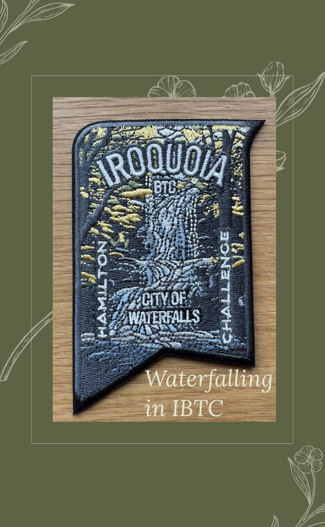
Iroquoia City of Water Falls Challenge 2025 #2
https://hikes.brucetrail.org/event/iroquoia-city-of-water-falls-challenge-2025-2/Sorry, the registration cut-off time for this hike has been reached.Not a member? Click here to join today!This is a Multi-Day Hike
You are signing up for the following dates and times:
2025-11-22 at 08:30
2025-11-23 at 08:30Hosting Club: Iroquoia
Category: City of Waterfalls – Special Event Fundraiser
Location (Google Maps): Day 1: Park at Mud Street Side Trail, shuttle to Artaban Road parking
Day 2: Park at Cityview Park, shuttle to Tews Falls/Dundas PeakHike Leader(s): Asia Shin Click here to contact Hike Leader(s)
Pace: Medium – 3 to 4 km/hr
Terrain: Moderate – Some hills and/or some poor footing
Distance: 22.7 Km (approx.)Description
Due to overwhelming demand, Iroquoia Waterfall Challenge#2 has been added to the schedule. Registered participants will receive more info 1-2 days before this event from Asia, the volunteer hike leader. You may also contact her through this form if you have any questions.This is a 2-day fundraiser challenge event. All funds raised go towards the Iroquoia Bruce Trail Club to maintain the infrastructure of this beautiful section of trail and to “Preserve this ribbon of wilderness, for everyone, forever!”
We also encourage participants to consider a membership with Conservation Hamilton https://conservationhamilton.ca/hca-membership-pass/
November 22 – We will meet in the parking area off of Mud St and car shuttle to Artaban Rd Parking Lot $$ (Conservation Hamilton) and hike back. Approx 23km
November 23 – We will meet at City View Park and car shuttle to Spencer Gorge Parking Lot $$ (Conservation Hamilton) and hike back. Approx 21km
Please ensure your vehicle is car shuttle ready by having a minimum of 4 seatbelts available – drivers do not pay for the parking, parking costs are shared by the passengers. On the second day, those who did not drive on the first day will be asked to drive.
There will be short breaks to describe the waterfalls along the way and a short lunch with photo ops.
Please bring all the hiking items you require for a long day hike including 2l of water, snacks, lunch, first aid kit, rain gear if rain is forecast, plastic shower caps for your boots if muddy, bug spray, sunscreen, rimmed hat, poles (if you use them) and your camera for all the photo ops. Please ensure you are physically able to complete two long day hikes over two days – if you must drop out, you will have to arrange your own transportation back to your vehicle. There is public transportation, Uber, and taxi’s in the area. If you are concerned about whether you will be able to manage the distance over the two day period, it’s possible that you may need to wait until a 4 day version of this event is posted.
The new badge will be presented to all participants who have completed the challenge at the end of the second day.
Any questions may be directed through contact on this form.
If you cannot make it, please remove yourself from registration by following these steps:To cancel your registration, here is a step by step:
– Sign into your account on the BTC website
– Click on My Hikes under your account
– This will take you to a list of hikes you have registered for
– Scroll down to the appropriate hike and cursor over to the far right hand column under the Action column.
– Click Cancel under the hike you wish to cancel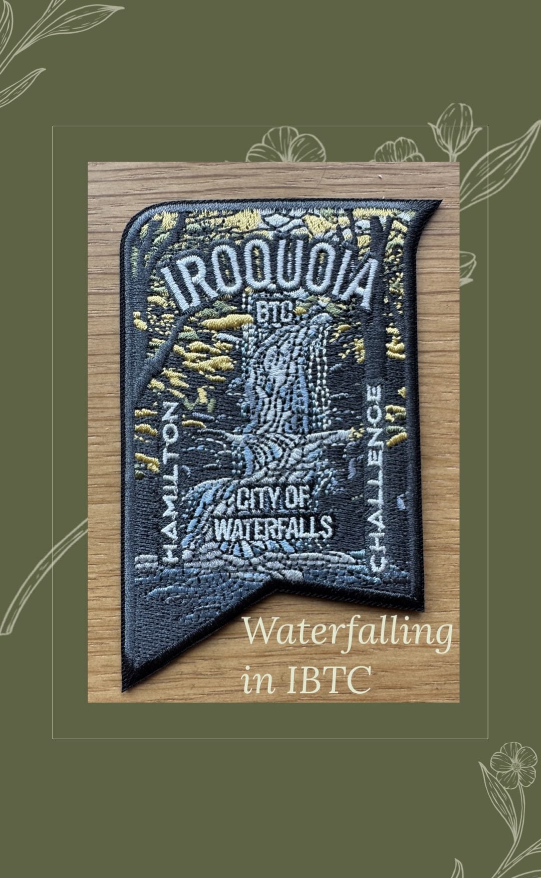
City of Waterfalls - Special Event Fundraiser # 1 - This is a 2 Day Event Hike - November 22 and November 23/ 2025
https://hikes.brucetrail.org/event/city-of-waterfalls-special-event-fundraiser-3/Sorry, the registration cut-off time for this hike has been reached.Not a member? Click here to join today!This is a Multi-Day Hike
You are signing up for the following dates and times:
2025-11-22 at 09:00
2025-11-23 at 09:00Hosting Club: Iroquoia
Category: City of Waterfalls – Special Event Fundraiser
Location (Google Maps): Please arrive by 8:45am on both days so everyone can be ready to go by 9am.
Day 1 – Meet at City View Park, Kerns Rd, Waterdown – see GPS Address Lookup.
Day 2 – Meet in the parking lot off of Mud St – Coordinates 43.200682, -79.815214Hike Leader(s): Ruth Moffatt Click here to contact Hike Leader(s)
Pace: Medium – 3 to 4 km/hr
Terrain: Moderate – Some hills and/or some poor footing, Strenuous – Hilly with steep climbs and some poor footing
Distance: Approximately 21-23kmDescription
Welcome to another Iroquoia Bruce Trail Club, City of Waterfalls Challenge! This is a fundraiser challenge event. All funds raised go towards the Iroquoia Bruce Trail Club to maintain the infrastructure of this beautiful section of trail and to “Preserve this ribbon of wilderness, for everyone, forever!”We also encourage participants to consider a membership with Conservation Hamilton https://conservationhamilton.ca/hca-membership-pass/
November 22 – We will meet at City View Park and car shuttle to Spencer Gorge Parking Lot $$ (Conservation Hamilton) and hike back. Approx 21km
November 23 – We will meet in the parking area off of Mud St and car shuttle to Artaban Rd Parking Lot $$ (Conservation Hamilton) and hike back. Approx 23km
Please ensure your vehicle is car shuttle ready by having a minimum of 4 seatbelts available – drivers do not pay for the parking, parking costs are shared by the passengers. On the second day, those who did not drive on the first day will be asked to drive.
There will be short breaks to describe the waterfalls along the way and a short lunch and photo ops.
Please bring all the hiking items you require for a long day hike including 2l of water, snacks, lunch, first aid kit, rain gear if rain is forecast, plastic shower caps for your boots if muddy, bug spray, sunscreen, rimmed hat, poles (if you use them) and your camera for all the photo ops. Please ensure you are physically able to complete two long day hikes over two days – if you must drop out, you will have to arrange your own transportation back to your vehicle. There is public transportation, Uber, and taxi’s in the area. If you are concerned about whether you will be able to manage the distance over the two day period, it’s possible that you may need to wait until a 4 day version of this event is posted.
The new badge will be presented to all participants who have completed the challenge at the end of the second day.
Any questions may be directed through contact on this form.
If you cannot make it, please remove yourself from registration by following these steps:To cancel your registration, here is a step by step:
– Sign into your account on the BTC website
– Click on My Hikes under your account
– This will take you to a list of hikes you have registered for
– Scroll down to the appropriate hike and cursor over to the far right hand column under the Action column.
– Click Cancel under the hike you wish to cancel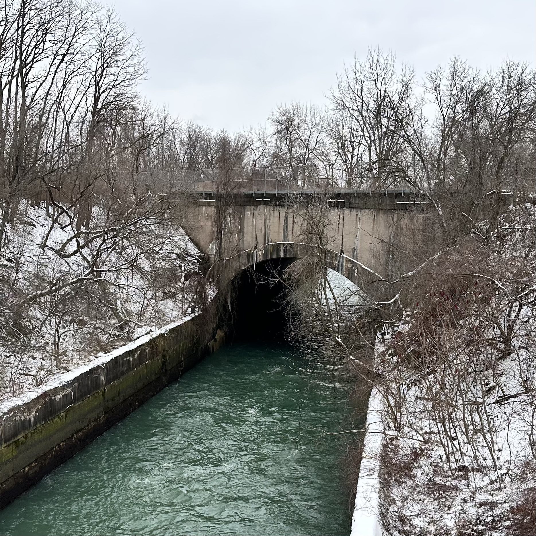
9:00 Millennium Recreational Trail Hike
https://hikes.brucetrail.org/event/900-millennium-recreational-trail-hike-2/Sorry, the registration cut-off time for this hike has been reached.Not a member? Click here to join today!Hike open to BTC Members only.
Hosting Club: Niagara
Category: Urban
Location (Google Maps):Whirlpool Road at hydro canal in Niagara Falls
Hike Leader(s): Suzanne Gourluck Click here to contact Hike Leader(s)
Pace: Medium
Terrain: Easy
Distance: 8 kmDescription
Hike along the paved multi-use Millennium Recreational Trail following the Chippawa-Queenston hydro canal in Niagara Falls.
Numbers are limited due to parking constraints. Parking is available either directly before or after passing the canal. Consider carpooling with a friend if possible.
Dress for the weather and bring snack and water.
RAINBOW HIKE: Mount Nemo
https://hikes.brucetrail.org/event/rainbow-hike-mount-nemo-kilbride-sidetrail/Sorry, the registration cut-off time for this hike has been reached.Not a member? Click here to join today!Hosting Club: Iroquoia
Category: Rainbow Hike
Location (Google Maps): Mount Nemo Conservation AreaHike Leader(s): Doug O’Neill Click here to contact Hike Leader(s)
Pace: Medium – 3 to 4 km/hr
Terrain: Dependent on Conditions, Easy – Mostly flat and usually good footing, Moderate – Some hills and/or some poor footing
Distance: 11 km (approx)Description
If your plans change, please cancel your registration That way, someone on the waitlist can take your spot—and we won’t be waiting for anyone who isn’t coming. 😊Come by car or transit for this all-inclusive 2SLGBTQIA+ friendly hike at Mount Nemo Conservation Centre, with possible additional side trail, if time allows.
The aim of the Bruce Trail’s Rainbow hikes is to provide a safe, welcoming space for 2SGBTQIA+ hikers to show up and be themselves in the great outdoors. As always, everyone is most welcome.
This hike also will involve a carpool component. If you’re not a car owner—absolutely no worries 😊)
Highlights: Karst topography—caves, rocky overhangs, crevices, sink holes and irregular cliff walls.
The hiking route: About 10-11 km of BT Main Trail and sidetrails within Mount Nemo Conservation Area. Post-hike: we’ll have a brief “Winter Hiking: Gear Chat” to talk about icers, gaters and layering as we look ahead to winter hiking.
Note: We’ll rendezvous at Burlington GO parking lot at 9 a.m. for departure at 9:15 a.m. sharp for the 16-minute drive to Mount Nemo.
We’ll meet at the east door of the south side. If you’re coming by GO TRAIN, go to the south/Fairview exit. I’ll be at the east entrance.
If you’re driving, please park your car as close to the train tracks so we can aim to have all cars parked somewhat in the same area.Conservation Centre admission fee: I have a Halton Conservation Membership and can cover 1 vehicle of 5 passengers. Everyone is expected to split admission fee for your vehicle, and chip in for gas. (We’ll figure out a formula.) Please bring a bag for your muddy boots so we leave drivers’ vehicles clean. You can bring extra shoes and leave in car. You won’t need to carry them on the hike.
By Public Transit to Burlington GO Meet-Up: Take the 8.24 a.m. Eastbound GO Train from West Harbour GO (James Street North & Murray Street East — across from LIUNA Station.) (NOT Hamilton GO Centre on Hunter Street.) Exit at Burlington GO and head to parking lot.
Bring sufficient water and proper lunch. Light snacks won’t do the trick for this hike. Hiking boots or sturdy footwear are recommended. Dress in layers. Gators, to protect pants from mud, are a good idea.
After the hike, we’ll convoy back to Burlington GO Station. Post-hike refreshments for anyone who’s interested.
Get your complimentary Bruce Trail Rainbow badge!
Feel free to reach out to the Hike Leader Doug if you have any questions at all- “Click here to contact Hike Leader” on this form.
Dundas Valley November Ramble
https://hikes.brucetrail.org/event/dundas-valley-november-ramble/Sorry, the registration cut-off time for this hike has been reached.Not a member? Click here to join today!Hosting Club: Dufferin Hi-Land
Category: General Hike
Location (Google Maps): Dundas Valley Merrick Lane parking- inside Dundas Valley Conservation area. Take Lions Club Road west bound to very end, and continue past entry gates to get to parking. Credit Card paid parking on entry.Hike Leader(s): Gilles Gagnon Click here to contact Hike Leader(s)
Pace: Medium
Terrain: Moderate, Slippery and Steep Sections
Distance: 20 kmDescription
We’ll ramble through some of Dundas Valley’s numerous trails for 20 km. Drop out option around the 12 km mark. Take a lunch, plenty of water, and dress for the weather. Could be cold and damp. Optional pub stop at the end. Dogs are welcomed, but must be on a leash.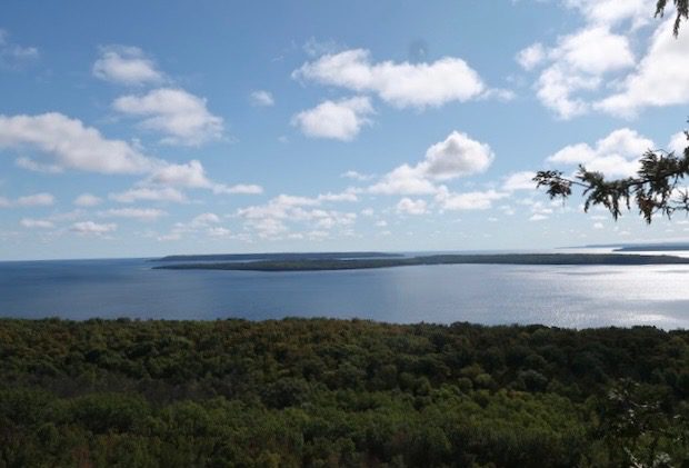
Malcolm Bluffs Magnificience
https://hikes.brucetrail.org/event/malcolm-bluffs-magnificience/Sorry, the registration cut-off time for this hike has been reached.Not a member? Click here to join today!Hosting Club: Peninsula
Location (Google Maps): Meet at Bruce Trail Parking located on Wright’s Crescent (GPS: 44.836895, -81.053576).
Hike Leader(s): Marg and Owen Glendon Click here to contact Hike Leader(s)
Pace: Medium (3.0 – 4.5 km/h): A comfortable pace for most hikers with steady progress.
Terrain: Difficult: Steep ascents/descents, rocky scrambling, and some rugged escarpment paths., Moderate: Rolling hills, mild slopes and rocky paths.
Distance: ~ 8 kmDescription
Malcolm Bluff Shores Nature Reserve overlooks beautiful Colpoy’s Bay with an expansive view of Hay, White Cloud, and Griffith Islands. Keeping this view in our mind’s eye, we complete this loop hike by returning to our starting point by weaving our way through a sidetrail which is nested in the midst of this lovely Fall forest. Although the most intense Fall colours will have passed, we should still experience the gentle yellow splendour of Tamaracks, orange-gold tips of Cedars, and the paper-beige marcescence of Birch and Oak trees. All of which shine their “light” on and toward our hiking path.Free coffee and muffin for hike participants arriving by 9:15 a.m.
Wayne Crockett Memorial Hike from High Park to St Lawrence Market - 13KM
https://hikes.brucetrail.org/event/wayne-crockett-memorial-hike-from-high-park-to-st-lawrence-market-13km/Sorry, the registration cut-off time for this hike has been reached.Not a member? Click here to join today!Hosting Club: Toronto
Category: Urban Walk
Location (Google Maps):High Park North Gate
Hike Leader(s): Tom Swales, Alina Lin, Janet McColeman, Ted Moriarty Click here to contact Hike Leader(s)
Pace: Moderate (3-4 km/hr)
Terrain: Flat, Level 1 (Easy – mostly on flat, well maintained trails with hard-packed surface)
Distance: 13 KMDescription
🌿 Memorial Hike in Honour of Wayne Crockett 🌿Wayne Crockett was more than a hike leader — he was a friend, mentor, and inspiration to so many in the hiking community. His love for nature, walking, and connecting with people made every hike memorable. Wayne touched countless lives through his kindness, humour, and genuine spirit.
To celebrate Wayne’s legacy, we’ll gather for a Memorial Hike in his honour, beginning at High Park and then Sir Casimir Gzowski Park , where a memorial bench and a tree with a plaque stand as a lasting tribute to him. After a moment of remembrance, we’ll head east along the Waterfront Trail, taking in the beautiful lakeside scenery that Wayne so loved. Our journey will end at the St. Lawrence Market, where hikers can enjoy good food, good company, and all the vibrant sights and flavours the Market offers — just the kind of lively experience Wayne would have appreciated.
Come join us to walk, remember, and celebrate a cherished friend who inspired so many steps and smiles along the trail. Let’s walk together in Wayne’s spirit — with friendship, laughter, and love for the trail.
A few notes:
- Dress appropriately for the weather
- Bring water and snacks
- Running shoes are recommended over hiking boots for dry day.
- No pets.
Urban Walk: Humber River/Swansea Theatre Hike
https://hikes.brucetrail.org/event/urban-walk-humber-river-swansea-theatre-hike-2/Sorry, the registration cut-off time for this hike has been reached.Not a member? Click here to join today!Hosting Club: Toronto
Category: Urban Walk
Location (Google Maps):Meet by the TTC Stop on the Southeast Corner of Scarlett Road and Eglinton Avenue West. Take the #79 Scarlett Road bus from Runnymede Station to Eglinton or the Eglinton West #32A from Eglinton West Station to Scarlett Road.
Hike Leader(s): Miriam Stevens Click here to contact Hike Leader(s)
Pace: Leisurely (2-3 km/hr)
Terrain: Level 1 (Easy – mostly on flat, well maintained trails with hard-packed surface), Variable
Distance: 10-12 kmDescription
Leisurely hike (3 kms/hour – No Racers Please) suitable for beginners and families.
Hike along the Humber River trail and into the Swansea village at Runnymede road and Bloor street west. The hike will end opposite Runnymede Subway near the Village Playhouse Theatre and local restaurants and pubs. Distance may vary according to the weather and trail conditions and how people feel. Early dropout is possible at Old Mill Subway Station.After the hike you may choose to join us for dinner at around 6 PM at Ali Baba Mediterranean restaurant or at a nearby pub.
We will attend the play “Filthy Rich” at 8 PM at The Bloor West Village Players theatre, 2190 Bloor Street West, Toronto.
Call the Theatre directly at (416) 767 7702 to reserve your ticket, cost $26- $29.00. Please do mention that you’re with the Bruce Trail Conservancy, Toronto Club so they know we are supporting them.Anyone is welcome to join us for the hike only, join us for the theatre performance, or, join us for all three: Hike, Dinner and play. Paid parking is available off Kennedy Avenue north of Bloor Street West (behind the Village Playhouse Theatre building). There is no parking available at the start of the hike.