
The BTC office will be closed on Mon. Oct. 12 for the holiday. Thank you for your understanding.
Hike Schedule
Join us for a hike! Registration required.
All hikes available to BTC members. Some hikes are open to non-members.
See Refund Policy for Paid Hikes >
TIP: The calendar view displays up to 7 hikes on a day, but often there are more. Click “View more events” to see them all.
Niagara
Iroquoia
Toronto
Caledon Hills
Dufferin Hi-Land
Blue Mountains
Beaver Valley
Sydenham
Peninsula
All Clubs
Show Filters
Categories
Reset Filters
- 02November 2, 2025
Car Hike: Jefferson Forest and Bond Lake (Richmond Hill)
https://hikes.brucetrail.org/event/car-hike-jefferson-forest-and-bond-lake-richmond-hill-7/Sorry, the registration cut-off time for this hike has been reached.Not a member? Click here to join today!Hosting Club: Toronto
Category: Car Hike
Location (Google Maps):1245 Bethesda Side Rd, Richmond Hill, ON L4E 1A2 ( Bethesda Trail Head Parking lot)
Hike Leader(s): Amir Alemohammad Click here to contact Hike Leader(s)
Pace: Moderate (3-4 km/hr)
Terrain: Flat, Hilly, Level 2 (Intermediate – some hills and uneven surfaces, rocks and roots underfoot), Variable
Distance: 13-14 kmDescription
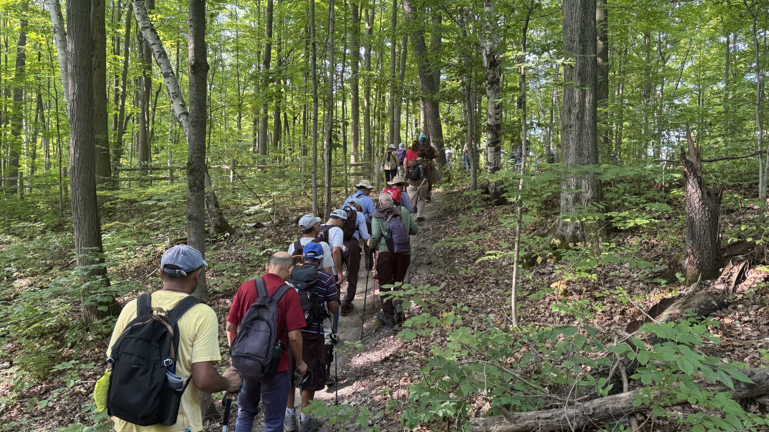
Join us for a wonderful hike in Jefferson Forest and have a snack/lunch beside the Bond Lake. We will hike among tall trees and bushes of the Jefferson Forest and across the Bayview-Yonge corridor to reach to the Bond Lake. Boots mandatory, poles recommended, bring at least 2L of water, bug spray, sunscreen, snack/lunch and dress according to the weather conditions. Please avoid parking along the road. Difficulty Level: 2 (Moderate)Please arrive @7:45 AM for start of 8:00AM.
This is a joint hike with the Oak Ridges Trail Association (ORTA).
Car Hike: Hockley Valley Provincial Nature Reserve
https://hikes.brucetrail.org/event/car-hike-hockley-valley-provincial-nature-reserve-3/Sorry, the registration cut-off time for this hike has been reached.Not a member? Click here to join today!Hosting Club: Caledon Hills
Category: General
Location (Google Maps): WE WILL BE PARKING AT THE NORTHERN PART OF THE PARK ON DUNBY RD. – NOT AT THE MAIN PARKING LOT. Roadside parking on the south side of Dunby Rd. at km 67.8Hike Leader(s): Dylan “Lana” Hubbard Click here to contact Hike Leader(s)
Pace: Medium – 3 to 4 km/hour
Terrain: Strenuous – hilly with steep climbs and some poor footing
Distance: 16 kmDescription
Join us for a 16 km hike through the Nature Reserve, known for being one of the most challenging and hilly sections of the Bruce Trail. Get ready for a workout.We will be hiking at a moderate-fast pace. Please bring plenty of water and snacks. HIKE BEGINS AT 8:30 AM.
We are committed to providing an inclusive and welcoming environment. This hike is an 2SLGBTQIA+ safe space, and everyone is welcome to join us!
Toronto End-to-End in Four - Scotsdale Farm to Terra Cotta
https://hikes.brucetrail.org/event/toronto-end-to-end-in-four-scotsdale-farm-to-terra-cotta-2/Sorry, the registration cut-off time for this hike has been reached.Not a member? Click here to join today!Hike open to BTC Members only.
Hosting Club: Dufferin Hi-Land
Category: General Hike
Location (Google Maps): Off road parking located on a very short dirt road off Winston Churchill Blvd just south of the Main Trail. North of entrance to Terra Cotta CA at top of hill. Busy Road and blind corner. Please be careful. See Google Maps link for GPS.Hike Leader(s): Stuart Law; Kerry Seong Click here to contact Hike Leader(s)
Pace: Medium
Terrain: Slippery Sections Likely, Moderate
Distance: 14 kmsDescription
Join us on a four-hike end-to-end hike series covering the Toronto Section plus a few kilometres up to The Grange. Today’s hike is the third of that shuttle series. We will make our way on the Main Trail from Scotsdale Farm to Terra Cotta. Please bring 1.5L of water, a snack, a lunch, and a smile. Please also bring footwear to change into after the hike and a garbage bag to put your boots in for the shuttle. Hiking boots mandatory. Poles very much recommended. It will be quite rocky in sections. Please arrive at 9 am and be ready to shuttle at 9:15 sharp.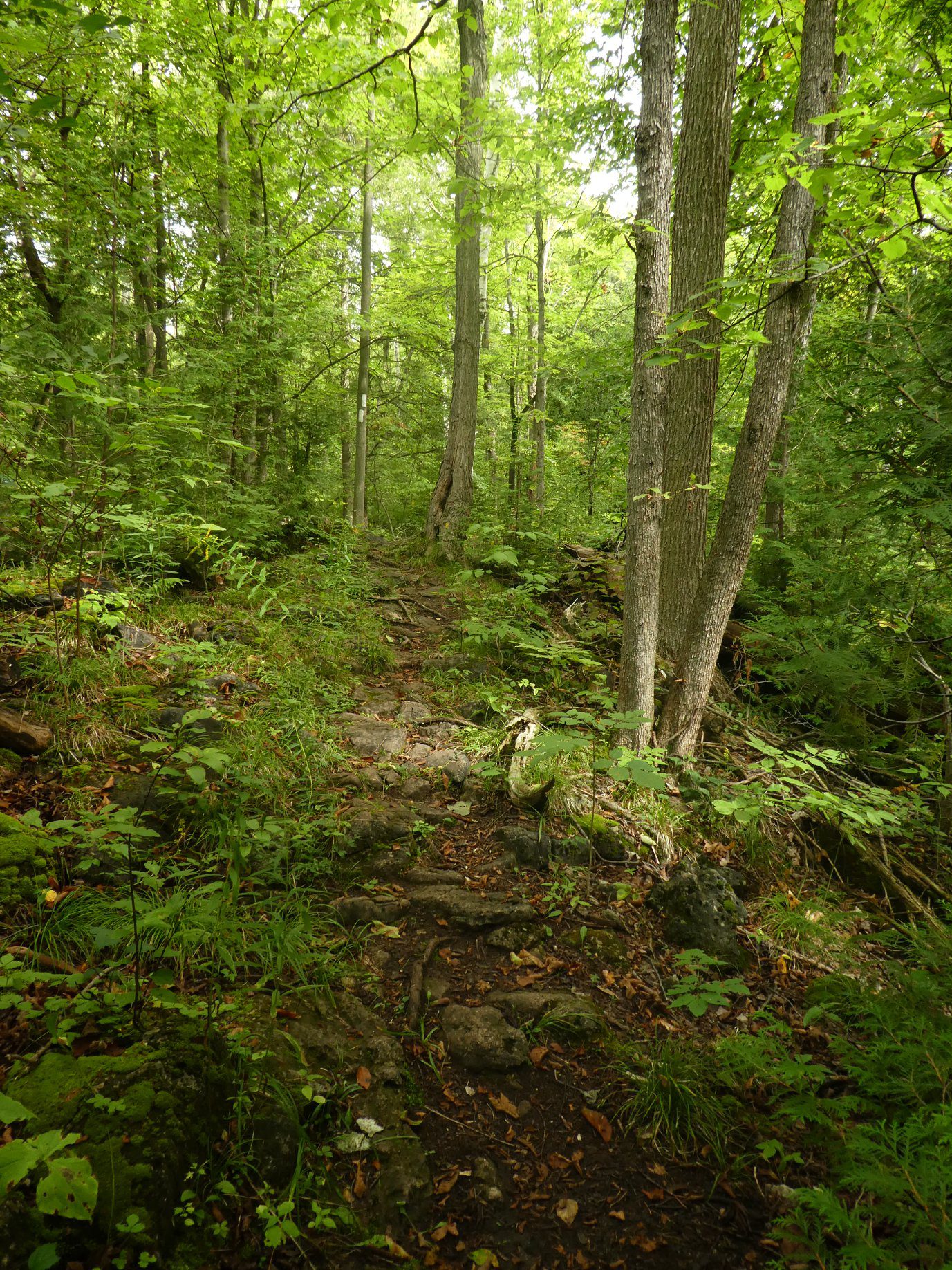
Speyside from 4th Line
https://hikes.brucetrail.org/event/speyside-from-4th-line/Sorry, the registration cut-off time for this hike has been reached.Not a member? Click here to join today!Hosting Club: Iroquoia
Category: General Hike
Location (Google Maps): Meet at 9:15 roadside on 4th Line where the main trail crosses the roadHike Leader(s): Karen Bergmann Click here to contact Hike Leader(s)
Pace: Medium – 3 to 4 km/hr
Terrain: Moderate – Some hills and/or some poor footing
Distance: 9 kmsDescription
A new way to hike the Speyside trails, we’ll meet roadside on Fourth Line at 9:15 am and hike the main trail to the Canada Goose ST and onto the Charles Hildebrandt ST to the “unassumed road” and into Speyside from that end. Hiking around the Cliff Hatch ST and main trail back to Fourth Line. There are some very rocky sections along these trails. Bring water and a snack. Hike is dependent on weather conditions.
New! GeoHike Series #3: Mono Cliffs Provincial Park
https://hikes.brucetrail.org/event/geohike-series-3-mono-cliffs-provincial-park/Sorry, the registration cut-off time for this hike has been reached.Not a member? Click here to join today!Hosting Club: Dufferin Hi-Land
Category: General Hike
Location (Google Maps): Meet at Mono Centre Community Centre to hike in the Mono Cliffs Provincial ParkHike Leader(s): Lynda Bloom: Margery Cruise Click here to contact Hike Leader(s)
Pace: Medium
Terrain: Moderate
Distance: 7 kmDescription
Why are there cliffs in the park? Are there any fossils? This leisurely hike will make many stops to look at rocks and talk about the landscape of the area. Don’t forget to bring your camera.We will use several side trails, mostly the Walter Tovell and South Outlier Trails, to visit the north and south Outlier exposures.
Please wear sturdy footwear as there are hills and stairs. Pack water, snacks and dress for the weather.

Mindfulness Hike Series 3/3
https://hikes.brucetrail.org/event/mindfulness-hike-series-3-3/Sorry, the registration cut-off time for this hike has been reached.Not a member? Click here to join today!Hosting Club: Peninsula
Location (Google Maps): Parking lot at the top of the hill in Dyers Bay
Hike Leader(s): Beige McIntosh
Pace: Leisurely (2.0 – 3.0 km/h): A relaxed pace with frequent breaks and a focus on enjoyment.
Terrain: Moderate: Rolling hills, mild slopes and rocky paths.
Distance: 3.5 kmDescription
Join us for the final hike in the Mindfulness Hike series. On this hike we will hike a loop along the escapement which includes the Anne & Clayton Roberts Side Trail. We will move at a leisurely pace.To assist us in quieting our minds, this will be an unplugged hike, meaning you will be required to leave your phone behind but the hike leader will bring a (powered off) cellphone in case of emergency. We will begin with a sensory meditation and hike in complete silence for most of this hike. Depending on the weather we may hike without shoes as a means of connecting more deeply with our bodies and the ground beneath us.
Everyone is welcome, no prior meditation or hiking experience necessary. To allow time to slow down mindfully, we will be out for approximately 2 hours.
- 03November 3, 2025
Niagara End-to-End #3 of 6
https://hikes.brucetrail.org/event/niagara-end-to-end-3-of-6/Sorry, the registration cut-off time for this hike has been reached.Not a member? Click here to join today!Hosting Club: Niagara, Iroquoia
Category: General Hike
Location (Google Maps): Parking Area off Roland Road, providing immediate access to the Short Hills Provincial Park’s Paleozoik Path.Hike Leader(s): Pati Greenwood, Jeff Dowsett Click here to contact Hike Leader(s)
Pace: Medium – 3 to 4 km/hr
Terrain: Moderate – Some hills and/or some poor footing
Distance: 12.4 kmDescription
This is an End-to-End hike series to complete the Niagara section of the Bruce Trail in 6 hikes. Join for all or as many hikes as desired.This third hike of the series starting at Decew House will take us around Lake Moodie, past Decew Falls and through Short Hills Provincial Park.
Weather conditions in the fall can be changeable, so it’s best to dress in layers and come prepared for varying conditions throughout the day. Insects, particularly ticks, are still active in the fall months, so take appropriate precautions to avoid them including using repellant and wearing clothing that covers the legs and arms. Hiking boots are required and hiking poles are recommended.
Bring plenty of fluids, including electrolytes, and a snack.
Since this is a group hike, please consider your fitness level before registering. We will be walking at a pace of 3km – 4km per hour and everyone is expected to keep up with the person in front of them for the duration of the hike.
Plan to arrive at the meeting place by 8:15 a.m. as we will start the car shuffle to the hike starting point at 8:30 a.m. sharp. Further details will be provided to registered hikers a few days prior to the hike.
- 04November 4, 2025
Heather & Steve's 3rd Annual Fall Cairn2Cairn - Dufferin Hi-Lands section, Nov 4,5,6
https://hikes.brucetrail.org/event/heather-steves-3rd-annual-fall-cairn2cairn-dufferin-hi-lands-section-nov-456/Sorry, the registration cut-off time for this hike has been reached.Not a member? Click here to join today!This is a Multi-Day Hike
You are signing up for the following dates and times:
2025-11-04 at 07:45
2025-11-05 at
2025-11-06 atHosting Club: Iroquoia, Dufferin Hi-Land
Category: General Hike
Location (Google Maps): Meet at BTC parking lot located off 15 Sideroad, 40 metres west of Prince of Wales Rd and we will shuttle to Lavender to begin our hikeHike Leader(s): Steven White Click here to contact Hike Leader(s)
Pace: Brisk – 4 to 5 km/hr
Terrain: Strenuous – Hilly with steep climbs and some poor footing
Distance: 17.1Description
Hike the challenging Dufferin Hi-Lands section 56 kms over 3 days. We will meet each morning at 7:45 and be ready to shuttle at 8:00. Hikers will take turns shuttling and taking drivers to their cars each day.Hikers should wear layered clothing, hiking boots, poles, hat, sunscreen, bug spray, rain gear and bring plenty of water, snacks and lunch. We will hike rain or shine.
Full itinerary will be emailed to hikers the week before the first hike.
Urban Walk: Valley View Park Thornhill
https://hikes.brucetrail.org/event/urban-walk-valley-view-park-thornhill-104/Sorry, the registration cut-off time for this hike has been reached.Not a member? Click here to join today!Hosting Club: Toronto
Category: Urban Walk
Location (Google Maps): Parking lot is off Sycamore Drive East of Bayview , across Starbucks plaza
Bus 91 from Finch east station stops at Sycamore station.Hike Leader(s): Mohammad Aghamiri Click here to contact Hike Leader(s)
Pace: Moderate (3-4 km/hr)
Terrain: Hilly, Level 2 (Intermediate – some hills and uneven surfaces, rocks and roots underfoot)
Distance: 7-8 kmDescription
We will explore Valleyview and Maple View parks, and walk along German Mill Creak, in return we stop in Huntington park and have snack under beautiful shed ,Even it is considered Urban walk, it is urban hike as we have some up and down hills and tree roots, please bring your hiking poles, water and snacks,
phone number for the day of hike 289 588 6482
9:00 Long Hike Wiley Road Short Hills NEW TIME
https://hikes.brucetrail.org/event/900-long-hike-wiley-road-short-hills-new-time-4/Sorry, the registration cut-off time for this hike has been reached.Not a member? Click here to join today!Hosting Club: Niagara
Location (Google Maps):
Short Hills Wiley Road Entrance
Pace: Medium
Terrain: Moderate
: 10kmDescription
Explore Short Hills and the majestic side trails of Scarlett Tanager, Hemlock. Swayze Falls and Terrace. Register for each hikeBring Poles, , snack, and dress for the weather
9:15 Short Hike - Short Hills Park, Pelham Rd
https://hikes.brucetrail.org/event/915-short-hike-short-hills-park-pelham-rd-32/Sorry, the registration cut-off time for this hike has been reached.Not a member? Click here to join today!Hosting Club: Niagara
Category: Hike
Location (Google Maps): Short Hills Provincial Park, Pelham Rd, Thorold, ONHike Leader(s): Debbie Demizio Click here to contact Hike Leader(s)
Pace: Medium
Terrain: Moderate
Distance: ~ 6kmsDescription
Hike the main and side trails in Short Hills Provincial Park, Bring hiking boots, water, and sunscreen.Silver Creek, Map 13.
https://hikes.brucetrail.org/event/silver-creek-map-13-3/Sorry, the registration cut-off time for this hike has been reached.Not a member? Click here to join today!Hosting Club: Caledon Hills
Category: Tuesday Hikers
Location (Google Maps): Park at 8th Line, across from 8th Line Side Trail connecting with Great Esker ST.
Driving directions: From Highway 401, north on Trafalgar Road, it will merge with Highway 7 – turn left and continue on Highway 7, turn right on Sideroad 22 (at Esso), left on 8th Line to road-side parking.Hike Leader(s): Mohammad Shafiq Click here to contact Hike Leader(s)
Pace: Medium – 3 to 4 km/hour
Terrain: Moderate – some hills and/or some poor footing, Strenuous – hilly with steep climbs and some poor footing
Distance: 12 kmDescription
BEAUTY OF FALL COLOURS:
Will hike Main Bruce Trail and side trails in Silver Creek area, Great Esker, Irwin Quarry and Roberts ST.
– bring water and snack.
– poles recommended.
– dress for chilly weather.Optional refreshment stop after hike at Main Market or other place in the area.
Noisy River Provincial Nature Reserve
https://hikes.brucetrail.org/event/noisy-river-provincial-nature-reserve-2/Sorry, the registration cut-off time for this hike has been reached.Not a member? Click here to join today!Hosting Club: Dufferin Hi-Land
Category: Tuesday Hike
Location (Google Maps):(Google Maps) Blue Mountain Section, Map 21. Meet at roadside parking at Km 54.9 on Mulmur-Nottawasaga Townline, 550 metres east of Lavender Hill Road at the cemetery at 9:30 am or at the SuperBurger parking lot (north-west corner of Hwy 89/Hwy 10 intersection) for car pooling at 9:00 am.
Hike Leader(s): Tony Evangelista, Les Babbage, Inge Eckerick, Julie Daley Click here to contact Hike Leader(s)
Pace: Leisurely
Terrain: Dependent on Conditions, Moderate
Distance: Long Hike 6.6 km Short hike 4 kmDescription
From the Lavender cemetery, we will shuttle to roadside parking on County Rd 9 at Km 6.1. We will then hike back through the scenic Noisy River Provincial Nature Reserve to the small, but historic, village of Lavender, where the Dufferin Hi-Land Section ends. The shorter hike will turn around and return to County Rd 9 parking after about 2 km. Bring water and snacks. Hiking poles are recommended.Friendship Trail (City View Park to Grindstone Creek Loop)
https://hikes.brucetrail.org/event/friendship-trail-city-view-park-to-grindstone-creek-loop-5/Sorry, the registration cut-off time for this hike has been reached.Not a member? Click here to join today!Hosting Club: Iroquoia
Category: General Hike
Location (Google Maps):Meet at City View Park parking lot (South Entrance), Burlington. Located just south of Hwy #5 off of Kerns Rd.
Hike Leader(s): Karen Capindale-Smith Click here to contact Hike Leader(s)
Pace: Medium – 3 to 4 km/hr
Terrain: Strenuous – Hilly with steep climbs and some poor footing
Distance: 10km +Description
This 10.5 km hike will follow the main BT along the edge of the escarpment for great views of the Skyway bridge , Lake Ontario and surrounding area. We will continue to the outskirts of Waterdown and down into/out of the Grindstone Creek via the McNally and Waterdown Rd Side trails and main BT. Please dress in layers and bring water and a snack. Icers may be necessary.Expect baked goods 🙂
- 05November 5, 2025
EASY DOES IT HIKE,Steve Bauer Trail to Chippawa Park and back
https://hikes.brucetrail.org/event/easy-does-it-hikesteve-bauer-trail-to-chippawa-park-and-back/Sorry, the registration cut-off time for this hike has been reached.Not a member? Click here to join today!Hosting Club: Niagara
Category: Leisurely
Location (Google Maps): Park at Northtown Plaza (near Dollarama) in Welland, OnHike Leader(s): Diane Marlatt Click here to contact Hike Leader(s)
Pace: Leisurely
Terrain: Easy
Distance: 3-5 KmDescription
WEDNESDAY WALKERS: Griersville GSCA CANCELLED
https://hikes.brucetrail.org/event/wednesday-walkers-griersville-gsca-2/Sorry, the registration cut-off time for this hike has been reached.Not a member? Click here to join today!Hosting Club: Beaver Valley
Location (Google Maps): Park in the new parking area on the north side of Euphrasia-St Vincent Townline, just west of GR 7.
Hike Leader(s): Margaret Yaraskavitch Click here to contact the hike leader.
Pace: Medium
Terrain: Moderate
Length of Hike: 6.5 kmsDescription
This hike takes us through a long stretch of forest protected by the Grey Sauble Conservation Authority and by the BTC. There are some crevices in rock to be seen here. A good walk in the woods. Once we reach the 7th Line, we return on the same route.Guidelines
- Arrive 15 minutes before the start of the hike.
- Wear sturdy footwear and appropriate attire for the weather and the terrain.
Hiking poles are a good idea in any season, especially if the terrain is rocky or slippery. In winter, snowshoes or icers/crampons are needed when conditions dictate.
Wearing appropriate clothing and footwear prevents injuries and shows consideration for a safe and positive group hiking experience. - Always carry I.D. and your health card.
- Bring sufficient water and snacks (or lunch if indicated). A minimum of 1L of water is recommended on all hikes, and 3L is recommended for long, challenging hikes in the heat of the summer.
- Bring sunscreen and insect repellent (for spring and summer hikes).
- Bring your own first aid kit.
- Please leave dogs at home.
Dundas Town and Lake JoJo
https://hikes.brucetrail.org/event/dundas-town-and-lake-jojo-2/Sorry, the registration cut-off time for this hike has been reached.Not a member? Click here to join today!Hosting Club: Iroquoia
Category: Good Companions
Location (Google Maps): Dundas Driving Park, DundasHike Leader(s): Phillip Armstrong Click here to contact Hike Leader(s)
Pace: Medium – 3 to 4 km/hr
Terrain: Moderate – Some hills and/or some poor footing
Distance: About 9kmDescription
Meet at about 9-45a.m. for a 10-00 a.m.start.Our route will take us through some of the most interesting parts of Old Dundas. We then pickup the Spencer Creek trail system and enjoy an easy walk down to Centennial Park the Desjardins Canal and the Urquhart Butterfly Garden.
We reach Lake JoJo and then the Delsey Ponds on trails of use. Our route takes us through a pleasant subdivision then steeply up through Grove Cemetery and down to the Driving park where we started.
Bring a lunch, warm clothes and footwear for possible muddy sections. Pub stop afterwards if you like.
🌕 Full Moon Hike Series: Part 2 of 7 🌕 Hike along Ginebek Miikaans – the Snake Trail Boardwalk on the sacred land of the Chippewas of Nawash.
https://hikes.brucetrail.org/event/%f0%9f%8c%95-full-moon-hike-series-part-2-of-7-%f0%9f%8c%95-hike-along-ginebek-miikaans-the-snake-trail-boardwalk-on-the-sacred-land-of-the-chippewas-of-nawash/Sorry, the registration cut-off time for this hike has been reached.Not a member? Click here to join today!Hosting Club: Peninsula
Category: Moonlit Hike Series
Location (Google Maps): Neyaashiinigmiing, Cape Croker Park, 112 Park Road, Wiarton.Hike Leader(s): Caley Doran; Beige McIntosh; Bill Floyd Click here to contact Hike Leader(s)
Pace: Leisurely (2.0 – 3.0 km/h): A relaxed pace with frequent breaks and a focus on enjoyment.
Terrain: Easy: Flat forested sections or lowland trails.
Distance: 2-3kmDescription
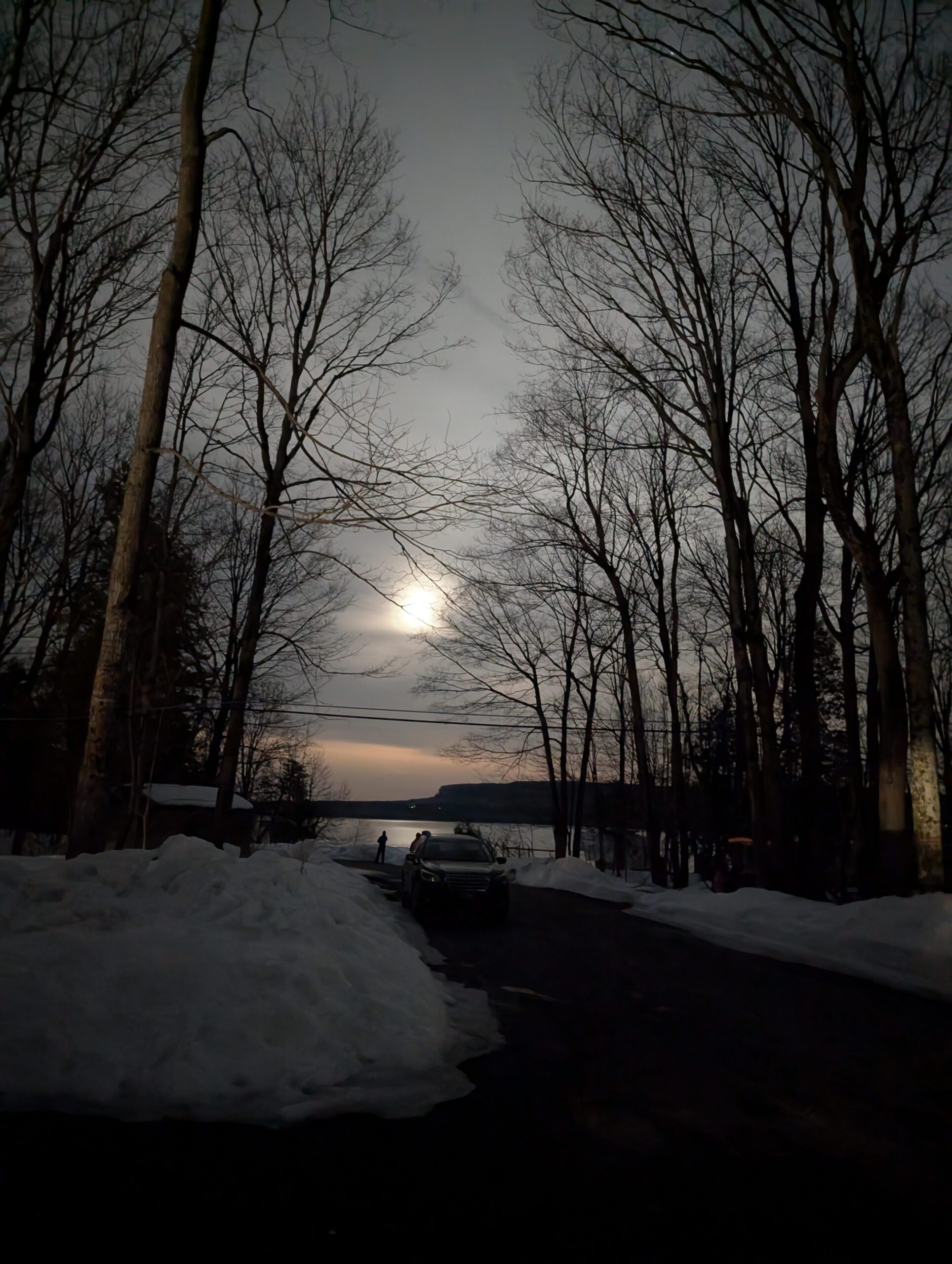
🌕 Full Moon Hike Series: Part 2 of 7 🌕Join us for a captivating evening hike along Ginebek Miikaans – the Snake Trail Boardwalk on the sacred land of the Chippewas of Nawash.
Your Anishinaabe guide Caley Doran will introduce us to the natural and cultural wonders found along Ginebek Miikaans – the Snake Trail Boardwalk. Miikaans is part of the Bruce Trail that is located along the shoreline of Wiikwedoonse (Sydney Bay) in the unceded Anishinaabek territory of Neyaashiinigmiing. This trail winds through mixed forest, to the edges of an active beaver dam and lodge, and along the shoreline of Sydney Bay. During this exploration you will learn about the traditional plants and wildlife that play a pivotal role in the traditional and contemporary lives of the Anishinaabek people. There are two very nice lookouts to take in the natural beauty of Sydney Bay and a beaver pond.
You can learn more about the traditional Anishinaabek teachings from time immemorial. Visit the Cape Croker Park website for more information on their Anishinaabe Cultural Experiences.
Caley Doran is a passionate hike leader, educator, and storyteller with a deep commitment to reconnecting people with the land through Indigenous knowledge and perspectives. Caley weaves together ecological understanding , Anishinaabe history, and personal reflection to guide meaningful outdoor experiences.
Date: Wednesday November 5th
Time: 6:00 pm
Moonrise: 4:51 pm This Full moon is known as “Beaver Moon” or “Freezing Moon” (It will also be a Supermoon)
Sunset: 5:11 pm
Hike length: 2-3 km
Duration: 2 hours
Location: Neyaashiinigmiing, Cape Croker Park, 112 Park Road, Wiarton.
Where to Meet: Cape Croker Park Beach Parking Area
Badge Alert:
- New this year – earn a Full Moon Hiking badge by joining 4 of the 7 hikes in this Full Moon Hiking Series.
What to bring:
- Illuminate the path with a red light headlamp (if you don’t have one that’s ok).
- Sturdy boots
- Appropriate clothing for the weather conditions (layers are great)
- Something to sit on, snack, water or hot beverage
Don’t miss this opportunity to connect with nature and enjoy the night sky! We hope for clear skies to make the evening even more special.
Full Moon Hiking Series
Monday, October 6th – Cape Chin: Hike & History
Wednesday, November 5th – Cape Crocker (posted) Supermoon
Saturday, December 6th – Black Creek Provincial Park Supermoon
Note: Jan – Apr hikes will start being posted in December
Saturday, January 3rd
Sunday, February 1st
Tuesday, March 3rd
Wednesday, April 1st
Full Moon Hike in Owen Sound followed by an Opportunity for Refreshments
https://hikes.brucetrail.org/event/full-moon-hike-in-owen-sound-followed-by-an-opportunity-for-refreshments/Sorry, the registration cut-off time for this hike has been reached.Not a member? Click here to join today!Hosting Club: Sydenham
Category: An evening walk.
Location (Google Maps): Meet in the municipal parking lot by the river on the west side of 1st Ave E between 7th St E and 8th St E in Owen SoundHike Leader(s): Harriet Nixon Click here to contact Hike Leader(s)
Pace: Brisk: 4 to 5 km/h
Terrain: Moderate: Some hills and/or poor footing
Distance: Approx 6 kmDescription
Join us for the Beaver Full Moon evening hike exploring Owen Sound paths and neighbourhoods, followed by an opportunity for refreshments. There is no need to show up 15 minutes early for this hike, but we will leave promptly at 7:00 pm. - 06November 6, 2025
Urban Walk: Valley View Park Thornhill
https://hikes.brucetrail.org/event/urban-walk-valley-view-park-thornhill-115/Sorry, the registration cut-off time for this hike has been reached.Not a member? Click here to join today!Hosting Club: Toronto
Location (Google Maps): Parking lot is off Sycamore Drive East of Bayview , across Starbucks plaza
Bus 91 from Finch east station stops at Sycamore station.Hike Leader(s): Mohammad Aghamiri Click here to contact Hike Leader(s)
Pace: Moderate (3-4 km/hr)
Terrain: Hilly, Level 2 (Intermediate – some hills and uneven surfaces, rocks and roots underfoot)
Distance: 7-8 kmDescription
We will explore Valleyview and Maple View parks, and walk along German Mill Creak, in return we stop in Huntington park and have snack under beautiful shed ,Even it is considered Urban walk, it is urban hike as we have some up and down hills and tree roots, please bring your hiking poles, water and snacks,
phone number for the day of hike 289 588 6482
9:00 am Long Hike Cave Spring Conservation Area NEW TIME
https://hikes.brucetrail.org/event/900-am-long-hike-cave-spring-conservation-area-new-time-4/Sorry, the registration cut-off time for this hike has been reached.Not a member? Click here to join today!Hosting Club: Niagara
Location (Google Maps):
Cave Spring Conservation Area
Pace: Medium
Terrain: Moderate
: 10kDescription
This will be our permanent Thursday Location until Bridge repairs complete. From Cave Spring Conservation Area explore the trail network on the escarpment towards Kinsman Park and Moyer Road.You must register for each hike. Bring Poles, snack and a drink. Dress for the weather
Caledon Stained Glass Badge End to End in 4 hikes
https://hikes.brucetrail.org/event/caledon-stained-glass-badge-end-to-end-in-4-hikes/Sorry, the registration cut-off time for this hike has been reached.Not a member? Click here to join today!This is a Multi-Day Hike
You are signing up for the following dates and times:
2025-11-06 at 09:00
2025-11-13 at 09:00
2025-11-20 at 09:00
2025-11-27 at 09:00Hosting Club: Caledon Hills, Beaver Valley
Location (Google Maps): Contact hike leader for hike schedule
Hike Leader(s): David Royston Click here to contact the hike leader.
Pace: Medium
Terrain: Some rocky footing, Some steep sections
Length of Hike: Varies – each hike approx 18 kmDescription
This will be my final Stained Glass Badge hike series for 2025. We will complete an end to end of the Caledon section in 4 hikes. The hikes will be (1) Boston Mills in the Toronto Section to Willoughby Road, (2) Willoughby Road to Coolihans Sideroad, (3) Coolihans Sideroad to 4th Line EHS and (4) 4th Line EHS to Mono Centre. Please contact the hike leader for the detailed hike plan.The hikes will proceed at a moderate pace (approx 4 km per hour not including a lunch stop). Breaks will be taken throughout each hike as appropriate. Hikes will proceed rain or shine.
Except for shuttles, hikers are expected to be self reliant. Please bring everything you may need such as water, lunch, snacks, personal medical kit, and appropriate footwear and clothing. All participants will be expected to share equally in the shuttle driving. Shuttle drivers should not expect compensation for driving. Drivers will be selected by the hike leader at the start of each hike.
Participants will be expected to sign a waiver in favour of the hike leader similar to the one in favour of the BTC they are required to submit on registration.
If there are any questions please contact the hike leader.
Hiking around Jordan
https://hikes.brucetrail.org/event/hiking-around-jordan-34/Sorry, the registration cut-off time for this hike has been reached.Not a member? Click here to join today!Hosting Club: Niagara
Category: Hike
Location (Google Maps): 3640 Glen Road, LincolnHike Leader(s): Bill Russell Click here to contact Hike Leader(s)
Pace: Medium
Terrain: Moderate
Distance: 7 kmDescription
Hiking in and around Jordan including Jim Rainforth Trail, Balls Falls and Bailey Bridge through the Village of Jordan.
Duff Pit Exploration
https://hikes.brucetrail.org/event/duff-pit-exploration/Sorry, the registration cut-off time for this hike has been reached.Not a member? Click here to join today!Hosting Club: Iroquoia
Category: Thursday Group
Location (Google Maps): Scotsdale Farm,Hike Leader(s): Anne Armstrong Click here to contact Hike Leader(s)
Pace: Leisurely – 3km/hr or less
Terrain: Moderate – Some hills and/or some poor footing
Distance: Approx. 9 km.Description
Meet in the Bruce Trail Parking lot at Scotsdale Farm off of Trafalgar Rd. Look for the small sign. It is easy to miss. Barring a film shoot we should be able to park in the main lot. Meet at 9:45 am. for a 10:00 am.start. Bring water, a snack and sunscreen. We will head west on the main trail to Highway 7 where will will switch to Duff Pit Side Trail and go past the old graver pit until we join onto the Reservoir Trail to take in the old Georgetown reservoir. There are some rocky areas along the trail but generally it is easier terrain. I will send out an email with my cell phone number a couple of days before the hike should you need to cancel the morning of the hike. - 07November 7, 2025
Caledon in 5 End-to-End Hike Series- Hike #2
https://hikes.brucetrail.org/event/caledon-in-5-end-to-end-hike-series-hike-2/Sorry, the registration cut-off time for this hike has been reached.Not a member? Click here to join today!Hosting Club: Iroquoia, Caledon Hills
Category: General Hike
Location (Google Maps): Meeting Place – Roadside Parking on Innis Lake Road, north of Finnerty RoadHike Leader(s): Pati Greenwood, Jeff Dowsett Click here to contact Hike Leader(s)
Pace: Medium – 3 to 4 km/hr
Terrain: Dependent on Conditions, Moderate – Some hills and/or some poor footing, Strenuous – Hilly with steep climbs and some poor footing
Distance: 15 kmDescription
This is an end-to-end hiking series to complete the Caledon section of the Bruce Trail in 5 hikes.The hikes will be undertaken at a medium pace of approximately 4 km/hour for approximately 15 kms each hike. Please consider your fitness level before registering; this is a group hike, and everyone is expected to keep pace with the person in front of them for the duration of the hike.
The weather can be changeable at this time of year, so dress in layers for any possibility. There here are many steep and hilly segments in this section of the Bruce Trail so the hikes will require considerable stamina. Wear hiking boots and bring hiking poles. Bring a snack, plenty of water and other hydration as needed.
We will be travelling from south to north over the course of the End-to-End. The series will require car shuffles, and everyone will be expected to participate as drivers.
Today’s hike, the second of the series, is 15 km in length. Please plan to arrive at the meeting place by 8:15 am as we will start the car shuffle at 8:30 am sharp.
Further details will be provided to registered hikers a few days prior to the hike.
9:00 am Niagara-on-the-Lake Tour
https://hikes.brucetrail.org/event/900-am-niagara-on-the-lake-tour-48/Sorry, the registration cut-off time for this hike has been reached.Not a member? Click here to join today!Hosting Club: Niagara
Category: Urban
Location (Google Maps):Veterans Memorial Park, park just outside the park on King Street
Hike Leader(s): Robin Garrett Click here to contact Hike Leader(s)
Pace: Medium
Terrain: Easy
Distance: 6-7 kmDescription
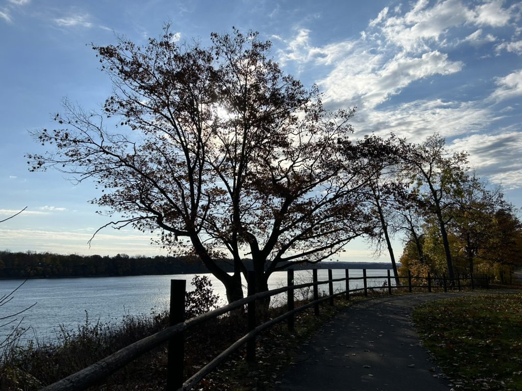
Each Friday we will explore different neighbourhoods, trails and parkland throughout Historic Niagara-on-the-Lake.Moderate pace with some weeks entirely on sidewalks and roads while others may include a mix of trails and paved pathways. Great way to build up endurance for longer more strenuous hikes.
Prepare for cooler windy conditions on open parkland and along Lake Ontario and Niagara River trails.
Plan to stay for conversation and a warm cup of coffee or tea at Sweets & Swirls, Community Centre, Niagara Stone Road, NOTL
WORK PARTY: Habitat Restoration Project @ Badlands (day 1 of 2)
https://hikes.brucetrail.org/event/work-party-habitat-restoration-project-badlands-day-1-of-2/Sorry, the registration cut-off time for this hike has been reached.Not a member? Click here to join today!Hosting Club: Caledon Hills
Category: General
Location (Google Maps): Volunteers will park at the Badlands parking lot on Old Base Road. GPS coordinates are: 43.775829 and -79.942703Hike Leader(s): GG & Richard Click here to contact Hike Leader(s)
Pace: Leisurely – 3 km/hour or less
Terrain: Moderate – some hills and/or some poor footing
Distance: This is a restoration habitat work partyDescription
Our Club is now maintaining the section of main trail that goes through the Badlands.Earlier this year, volunteers worked for days to improve the main trail with limestone/gravel to eliminate muddy sections and ensure the trail is satisfactory for the many visitors to this section.
On Friday, November 7th from 9:00 a.m. to 12:00, volunteers are needed to assist with removing the invasive species of buckthorn and prune back the larger buckthorn trees.
Volunteers will be provided with “extractigators” but, please bring your own loppers if you have some.
Bring gloves, water, snacks etc for yourself.
Volunteers will park at the Badlands parking lot on Old Base Road. GPS coordinates are: 43.775829 and -79.942703
*This is not a hike. This is a habitat restoration work party. It is being entered into the hike schedule as a pilot in response to asks for work parties be added to the schedule in addition to the volunteer communications 🙂 *
Lavender to Kilgorie
https://hikes.brucetrail.org/event/lavender-to-kilgorie-2/Sorry, the registration cut-off time for this hike has been reached.Not a member? Click here to join today!Hosting Club: Dufferin Hi-Land
Category: Cancelled
Location (Google Maps): New Bruce Trail parking lot off 15 Sideroad, 50 metres west of Prince of Wales Road. See Google Maps link for GPS. Please note the bridge closure on River Road in Kilgorie and plan your trip accordingly. Access from the south via Prince of Wales Road and River Road to Sideroad 15 still works.Hike Leader(s): Stuart Law Click here to contact Hike Leader(s)
Pace: Medium
Terrain: Moderate, Slippery Sections Likely
Distance: 17.2 kmsDescription
Experience the delights of the northern Dufferin Hi-Lands on a 17 km shuttle hike from Lavender to Kilorie. Please bring a garbage bag and change of footwear for the shuttle as well as a warm drink, water, a snack a lunch and a smile. Hiking boots mandatory. Poles recommended. Please pack icers just in case and please dress in warm layers for the weather. Tea stop at a Friday Hiker’s place for lunch. Please be ready to shuttle at 9:15 sharp. - 08November 8, 2025
Merritthon (Limited Edition Badge)
https://hikes.brucetrail.org/event/merritthon-limited-edition-badge/Sorry, the registration cut-off time for this hike has been reached.Not a member? Click here to join today!Hosting Club: Niagara
Category: Event Hikes
Location (Google Maps): Port Dalhousie Heritage District, Public ParkingHike Leader(s): Faye Perkins Click here to contact Hike Leader(s)
Pace: Medium
Terrain: Easy
Distance: 47 kmDescription
The Welland Canal is an engineering achievement that has shaped the economic and transportation landscape of the Niagara Region for two centuries, and it continues to be at the center of our ongoing development. Come celebrate the history of the Welland Canal as you hike, run, jog and/or walk From Port Colborne to Port Dalhousie,This is the last year that we will be offering the the Limited Edition badge.
This distance challenge, is a self-guided hike along a mainly paved trail. A map of the trail can be found at: http://niagarabrucetrail.club/wp/badges/ under the Merritthon badge
Fee: $50 includes Bus transport to start of hike, checkpoints, badge and helps to support the Bruce Trail Conservancy in its mission to preserve a ribbon of wilderness, for everyone, forever.
BUS LEAVES AT 7:00 SHARP. Late arrivers will need to check in and make their own way to Port Colborne
Check in: At Port Dalhousie Parking Lot St Catharines from 6:40. Buses will transport hikers to Port Colborne.
Route: Follow the yellow blazes from Port Colborne to Port Dalhousie back to the parking lot
What to bring: Bring your own water and snacks. Wear comfortable sturdy shoes and dress for the weather.Extra water and snacks will be available at the checkpoints.
FAQ’s
What if it rains? This is a rain or shine event.
What if I need to drop out? Trail Angel’s will be available from the checkpoints.
How long will it take to finish? We estimate that the hike will take between 8 and 9 hours. If you do not reach the last checkpoint by 3:30pm you will have to withdraw
Is my ticket/registration transferable/refundable? yes. Refundable up to 30 days before event but not transferrable. Please let us know if you cannot make it.
What if I want to run the course? If you intend to run the course, please send an email to Faye Perkins (below) so that we can ensure that we have volunteers in place early. Please ensure that you bring drinks and your electrolytes.
Contact: Faye Perkins at faye.perkins7469@gmail.com 416 843 9274
Car Hike: Nassagaweya Canyon's Crawford Lake/Rattlesnake Point and Kelso Conservation Scenic Areas.
https://hikes.brucetrail.org/event/car-hike-nassagaweya-canyons-crawford-lake-rattlesnake-point-and-kelso-conservation-scenic-areas/Sorry, the registration cut-off time for this hike has been reached.Not a member? Click here to join today!Hosting Club: Iroquoia, Toronto
Category: Car Hike
Location (Google Maps): Meeting Location: Roadside parking on Twiss Rd north of Derry Rd. GPS Coordinates: N43.447743, W79.953436. Km 101.6 Map 10 Edition 31.Hike Leader(s): Ross Estrella Click here to contact Hike Leader(s)
Pace: Brisk (4-5 km/hr), Moderate (3-4 km/hr)
Terrain: Hilly, Level 2 (Intermediate – some hills and uneven surfaces, rocks and roots underfoot), Rocky, Variable
Distance: 18 kmDescription
At a moderate to brisk pace, we’ll hike the scenic Kelso Conservation to Crawford Lake and Rattlesnake Point along the Nassagewaya Canyon. Please make sure you bring enough water for hydration, snacks and lunch. Equip yourself with durable hiking shoes/boots and hiking poles if you use them. Bring sunscreen, sun head covering and personal medications (if any) including ID and health card. Outfit layering is suggested to comfort self to changing weather. Please arrive 15 minutes early for car shuttling so we will depart in a timely manner.School Bus Hike: Iroquoia E2E (4/8)
https://hikes.brucetrail.org/event/school-bus-hike-iroquoia-e2e-4-8/Sorry, the registration cut-off time for this hike has been reached.Not a member? Click here to join today!Trip Information
Departure Time: 08:30
Return to City Time: 18:00
Departure Point: Kipling Departure PointOptional Items
Hosting Club: Toronto
Category: Bus Hike
Location (Google Maps):Hamilton (Map 7/8 – km 29.5 to km 45.2)
Hike Leader(s): Tom Swales, Robin Crombie Click here to contact Hike Leader(s)
Pace: Moderate (3-4 km/hr)
Terrain: Hilly, Level 2 (Intermediate – some hills and uneven surfaces, rocks and roots underfoot), Rocky
Distance: 16 kmDescription
Part four of our Iroquoia E2E will take us from Tiffany Falls (km 45.2), through the beautiful Dundas Valley Conservation Area, through the town of Dundas and to the Sydenham Lookout Point (km 60.0). (Bruce Trail Reference Guide 30th Edition Map 8)These hikes are intended for hikers taking the bus from Toronto only.
Car Hike: Wilder Forest Uxbridge
https://hikes.brucetrail.org/event/car-hike-wilder-forest-uxbridge-10/Sorry, the registration cut-off time for this hike has been reached.Not a member? Click here to join today!Hosting Club: Toronto
Category: Car Hike
Location (Google Maps): Parking Lot off Brock road beside horse training buildingHike Leader(s): Mohammad Aghamiri Click here to contact Hike Leader(s)
Pace: Moderate (3-4 km/hr)
Terrain: Hilly, Level 2 (Intermediate – some hills and uneven surfaces, rocks and roots underfoot), Variable
Distance: 14-15 kmDescription
Let’s explore beautiful sceneries of Uxbridge Wilder forestF&G Hills 4
https://hikes.brucetrail.org/event/fg-hills-4/Sorry, the registration cut-off time for this hike has been reached.Not a member? Click here to join today!Hosting Club: Dufferin Hi-Land
Category: General Hike
Location (Google Maps): 7th line Parking lot east of Airport Rd Caledon Section of the BT. Just north of Mono Mills. See Google Maps link for GPS.Hike Leader(s): Tristan Goguen and Pat Foley Click here to contact Hike Leader(s)
Pace: Medium
Terrain: Slippery and Steep Sections, Strenuous
Distance: 16KmDescription
Meet at 7th Line parking lot we will car pool up to 5th Line Parking lot. Our hike will go southbound on the main trail to just north of highway 9. At that point we will return to the cars at 7th line parking lot with an option to explore part to the Glen Haffy side trail on the way back. This hike will include numerous hills some quite steep. The weather in November is unpredictable so please dress in layers and ensure you have rain gear as we will hike regardless of the weather. Please wear hiking shoes or boots, bring snacks/lunch and water. Note the hike leaders will have 2 dogs on this hike. This hike involves challenging climbs and is recommended for experienced hikers only.Duntroon Double Loop
https://hikes.brucetrail.org/event/duntroon-double-loop/Sorry, the registration cut-off time for this hike has been reached.Not a member? Click here to join today!Hosting Club: Blue Mountains
Category: Organized Hike
Location (Google Maps): Tim Horton’s, First Street, CollingwoodHike Leader(s): Richard Edwards Click here to contact Hike Leader(s)
Pace: Leisurely – 3 km/hr. or less
Terrain: Moderate – Some hills and/or some poor footing
Distance: 4 kmDescription
We will carpool to the Bruce Trail parking lot on cty rd 91 (km 37.4,map 22) and loop north for 2 km through a maple bush and along a scenic scarp edge back to rd 91, After a look at Franks Kiln we will loop south via interesting crevices and peek at the big quarry before returning to our start via the Walker Aggregates Side Trail, rd 91.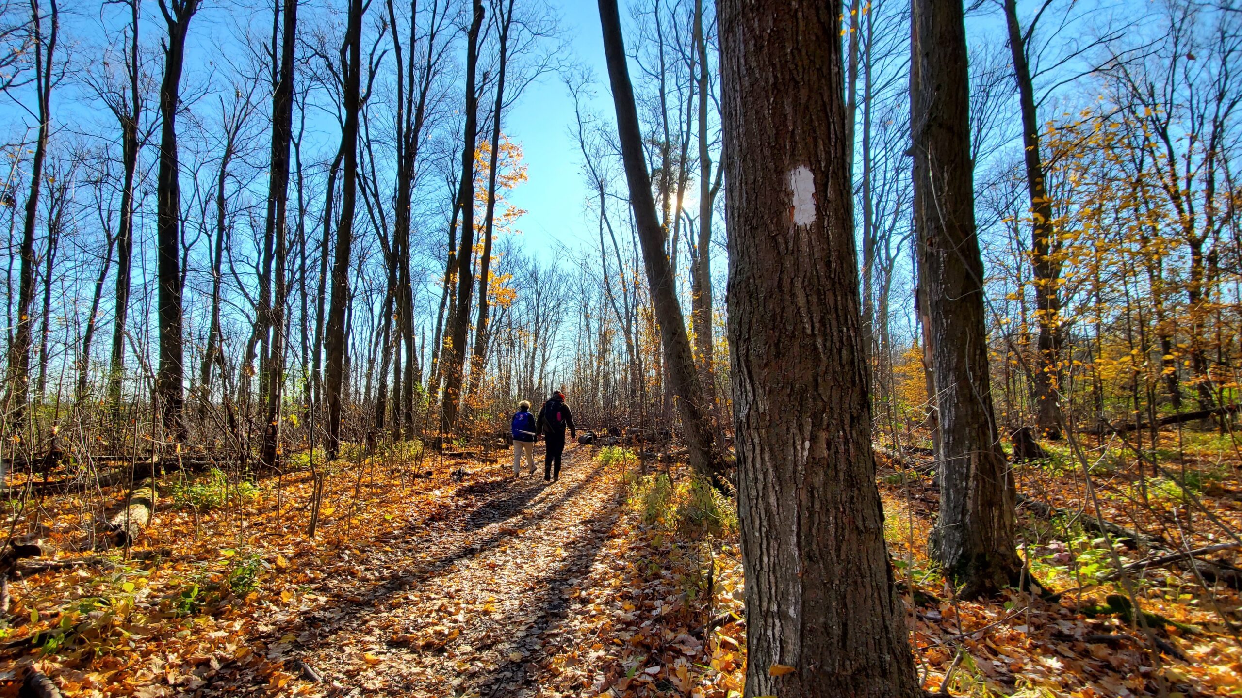
Car Hike: #7/7 Iroquoia Bruce Trail End-to-End -19 KM
https://hikes.brucetrail.org/event/car-hike-7-7-iroquoia-bruce-trail-end-to-end-19-km/Sorry, the registration cut-off time for this hike has been reached.Not a member? Click here to join today!Hosting Club: Toronto
Category: Car Hike
Location (Google Maps): 103.8KM Roadside Parking on Twiss Rd.Hike Leader(s): Alina Lin
Pace: Brisk (4-5 km/hr)
Terrain: Challenging, Flat, Hilly, Level 2 (Intermediate – some hills and uneven surfaces, rocks and roots underfoot), Rocky, Variable
Distance: 19 kmDescription
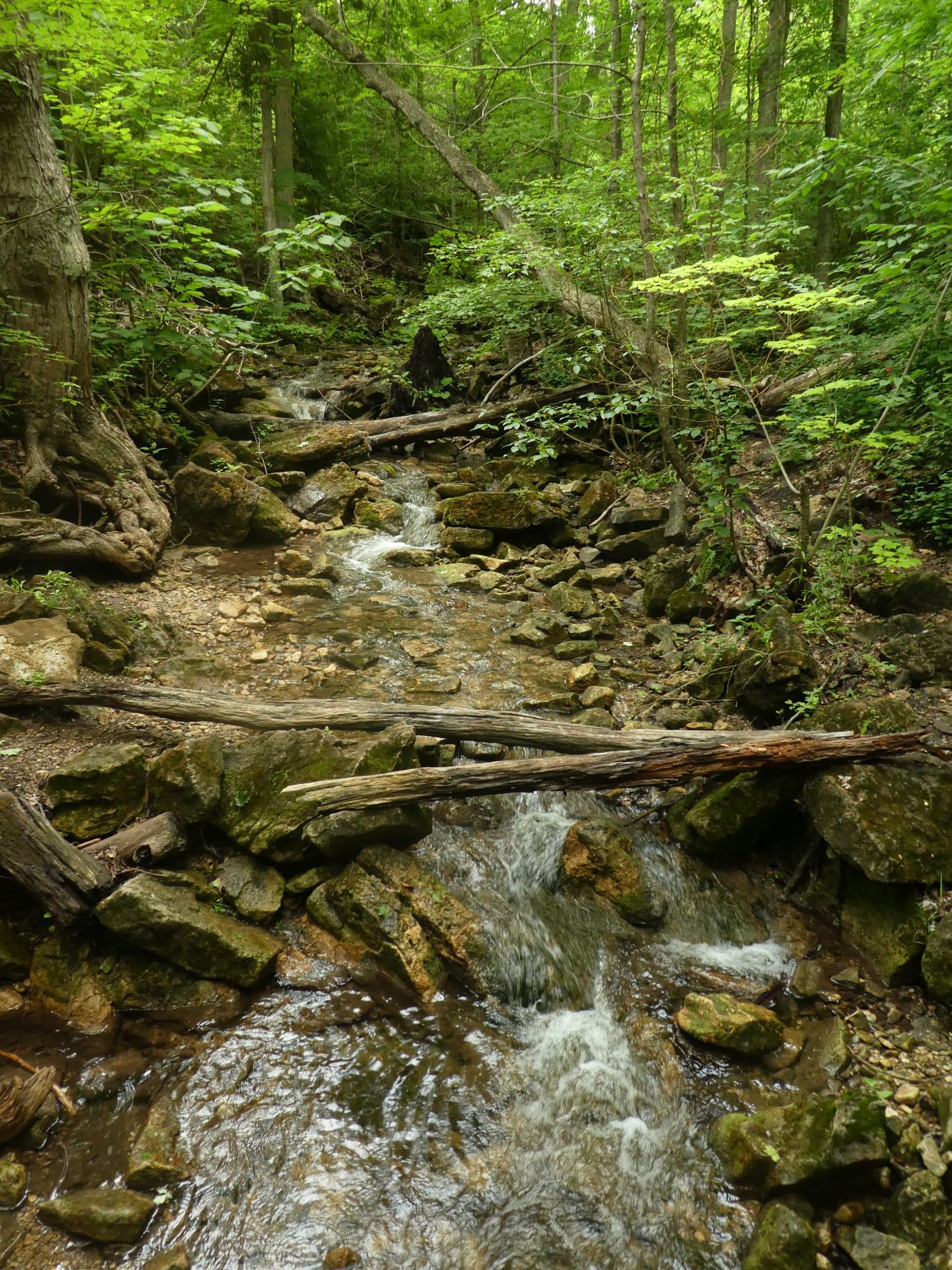
It’s the end of the fall colors, but it’s still lovely to walk in the forest, watching the last leaves swirl down in the wind and listening to the sound of footsteps on the thick carpet of fallen leaves.This is the 7th hike of an End-to-End series covering the entire Iroquoia Bruce Trail section. The full section stretches over 120 kilometers from Grimsby to Milton. I am using Map Edition 29 to plan the hikes, and so please note that kilometer markings may not be fully up to date, and actual hiking distances may vary slightly.
Meeting Point:
103.8KM @ Roadside Parking on Twiss Rd, North of Derry Rd. GPS: 43.447743, -79.953436. Please arrive before 8:45am to allow time for car shuttle coordination.We will car shuttle to KM121.3. Kelso Conservation Area. Enter from Tremaine Rd between Steeles Ave nd Highway401. GPS: 43.503204, -79.947548. From there to hike back to KM103.8. Entrance fee applies at Kelso Conservation Area, see details at https://www.conservationhalton.ca/park-fees-membership-rates/
All drivers are expected to participate in the car shuttle, either before or after the hike. All hikers are expected to chip in for parking fees, if applicable.
Important Notes:
- Wear sturdy hiking footwear and dress appropriately for the weather
- Bring snacks, and at least 1.5L of water
- No dropouts available.
- No pets.
Scotsdale Farm
https://hikes.brucetrail.org/event/scotsdale-farm-3/Sorry, the registration cut-off time for this hike has been reached.Not a member? Click here to join today!Hosting Club: Iroquoia
Category: General Hike
Location (Google Maps): Meet at 9:15 am in the main parking lot at Scotsdale FarmHike Leader(s): Karen Bergmann Click here to contact Hike Leader(s)
Pace: Medium – 3 to 4 km/hr
Terrain: Moderate – Some hills and/or some poor footing
Distance: 9 kmsDescription
We will start at the main parking lot and hike around the Bennett Heritage side trail, along the main trail around the loop and back along the top of the Bennett Heritage side trail. Although a fairly easy hike, there are a few rocky sections and a few hills.Bring water and a snack, as needed.