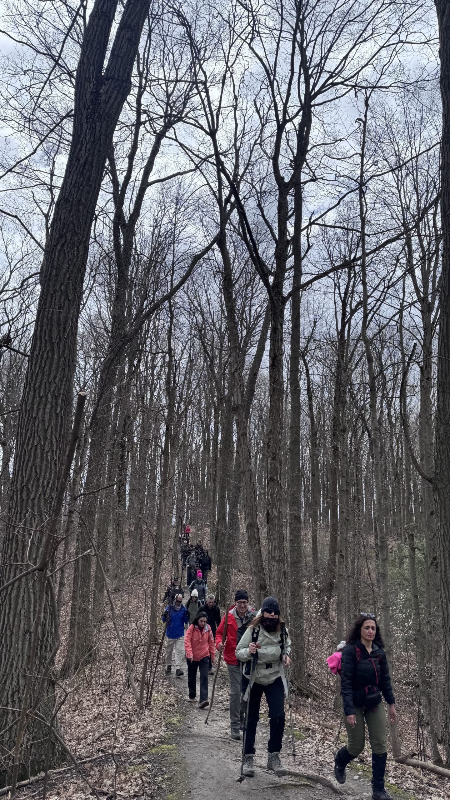
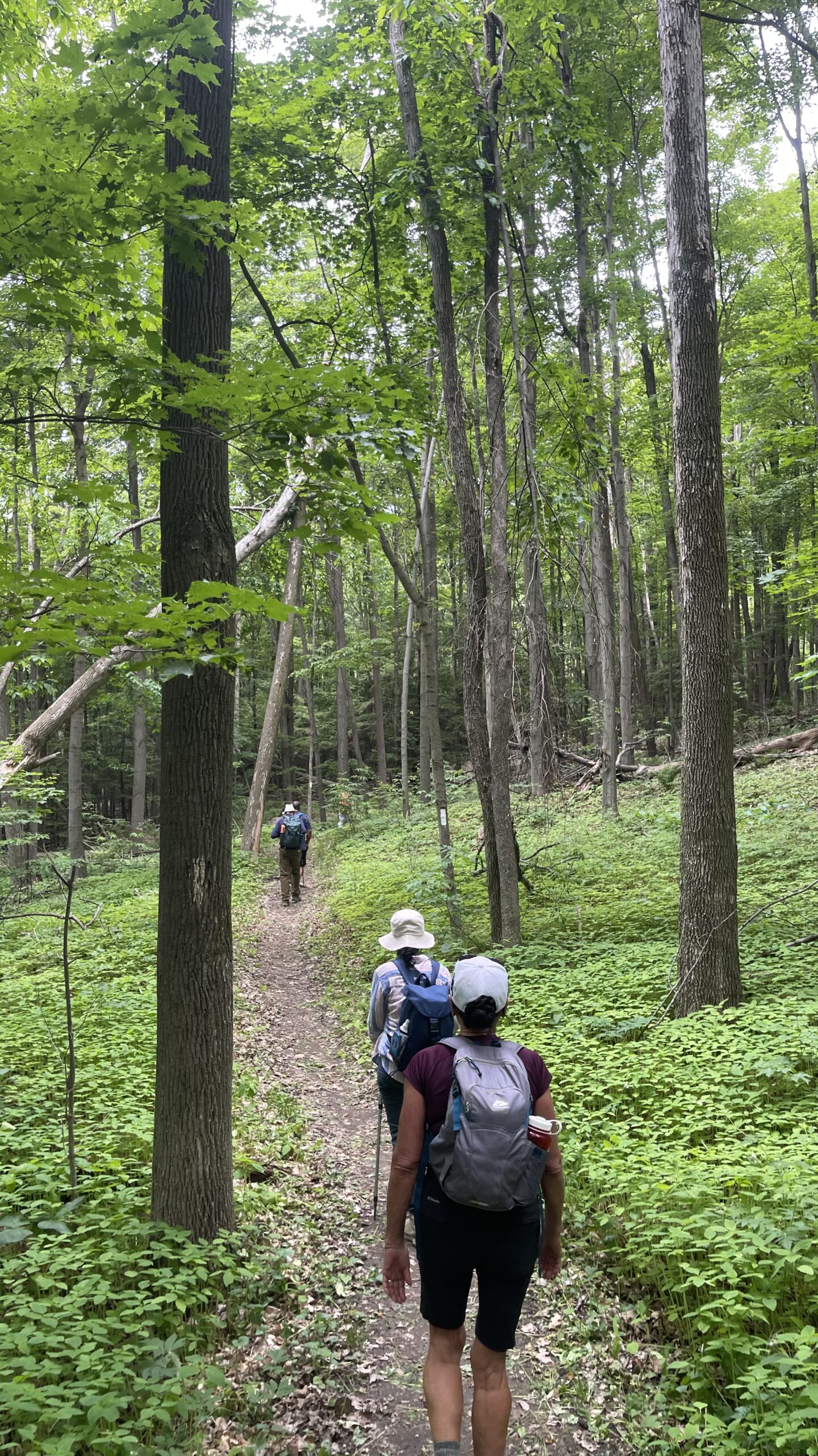
Join us for a hike! Registration required:
All hikes available to BTC members. Some hikes are open to non-members.
TIP: The calendar view displays up to 7 hikes on a day, but often there are more. Click “More events” to see them all.
Toronto Hike Schedule
Toronto Bruce Trail Club Registration Live Dates
Day Winter Coach Program
Registration begins two weeks in advance of the event departure (at 8:00 PM)
Day Bus Hikes
Registration begins two weeks in advance of the event departure (at 8:00 PM) with some exceptions of special event hikes
Day Coach Hikes
Registration begins 7 weeks in advance of the event departure
Day Car Hikes and Urban Hikes
Registration begins two weeks in advance of the event departure
Overnight and Weekend Trips
Registration begins 12 weeks in advance of the event departure
To view all Bruce Trail Conservancy Hikes click here
- 03May 3, 2026
Rainbow Hike
https://hikes.brucetrail.org/event/rainbow-hike-2/Sorry, the registration cut-off time for this hike has been reached.Not a member? Click here to join today!Hosting Club: Iroquoia, Toronto
Category: Rainbow Hike
Location (Google Maps): Meet at the parking lot on 22nd Sideroad.Hike Leader(s): Anita Bergsma Click here to contact Hike Leader(s)
Pace: Leisurely – 3km/hr or less, Medium – 3 to 4 km/hr
Terrain: Easy – Mostly flat and usually good footing
Distance: 10 KmsDescription
Bruce Trail Rainbow HikeCelebrate the beauty of the Bruce Trail and the spirit of community on our Rainbow Hike! 🌈🥾 Join us for a welcoming group hike along one of Ontario’s most scenic sections of the Bruce Trail. Whether you’re a seasoned hiker or just getting started, this event is all about enjoying nature, meeting new people, and sharing a positive outdoor experience together.
What to Expect
- A guided group hike along a picturesque section of the Bruce Trail
- Beautiful forest paths, escarpment views, and fresh spring air
- A friendly, inclusive atmosphere where everyone is welcome
- Opportunities to connect with fellow hikers and outdoor enthusiasts
Hike Details
- Distance: Approximately 10 km
- Pace: Easy to moderate, with plenty of breaks
- Terrain: Mixed forest trails with some gentle elevation changes
- Duration: About 2–3 hours
What to Bring
- Comfortable and appropriate hiking shoes or boots
- Water and light snacks
- Weather-appropriate clothing
- Your positive energy and rainbow spirit! 🌈
Whether you come solo or with friends, the Rainbow Hike is a chance to explore nature, celebrate diversity, and build community on the trail.
The rainbow badge will be provided at the end of our hike.
Car Hike: Jefferson Forest and Bond Lake (Richmond Hill)
https://hikes.brucetrail.org/event/car-hike-jefferson-forest-and-bond-lake-richmond-hill-10/Sorry, the registration cut-off time for this hike has been reached.Not a member? Click here to join today!Hosting Club: Toronto
Category: Car Hike
Location (Google Maps):1245 Bethesda Side Rd, Richmond Hill, ON L4E 1A2 ( Bethesda Trail Head Parking lot)
Hike Leader(s): Amir Alemohammad Click here to contact Hike Leader(s)
Pace: Moderate (3-4 km/hr)
Terrain: Flat, Hilly, Level 2 (Intermediate – some hills and uneven surfaces, rocks and roots underfoot)
Distance (km): 14-15 kmDescription
Let’s roll the hills of the Jefferson Forest and around the Bond Lake. Every week we hike in Jefferson Forest, located in the heart of Richmond Hill, it boasts numerous hiking trails. This 3.5 hour hike can range from 14 to 15 kilometres, depending on the weather conditions. Remember to bring water, snacks, hiking boots, poles, and your camera. Not recommended for beginners. Park in the free Bethesda parking lot and avoid parking along the road. Dress appropriately for the weather. Difficulty Level: 2 (Moderate).Please arrive @8:15AM for start of 8:30AM.
This is a joint hike with the Oak Ridges Trail Association (ORTA).
what3words:
https://w3w.co/twisting.mailer.awakes
Urban Walk: Sherwood Park/Sunnybrook Park
https://hikes.brucetrail.org/event/urban-walk-sherwood-park-sunnybrook-park-6/Sorry, the registration cut-off time for this hike has been reached.Not a member? Click here to join today!Hosting Club: Toronto
Category: Urban Walk
Location (Google Maps):NE Corner Yonge & Lawrence (by subway exit)
Hike Leader(s): Tom Swales Click here to contact Hike Leader(s)
Pace: Moderate (3-4 km/hr)
Terrain: Hilly, Level 2 (Intermediate – some hills and uneven surfaces, rocks and roots underfoot), Variable
Distance (km): 12 KMDescription
Join us for a hike through scenic ravines from Yonge & Lawrence to Sunnybrook & Serena Gundy parks to end at Laird Station of TTC Line 5. Hopefully there will be the chance to enjoy spring wildflowers in the woods of Sunnybrook Park. - 04May 4, 2026No events
- 05May 5, 2026
Car Hike: Spring Birding Hike
https://hikes.brucetrail.org/event/car-hike-spring-birding-hike/Sorry, the registration cut-off time for this hike has been reached.Not a member? Click here to join today!Hosting Club: Toronto
Category: Car Hike
Location (Google Maps): Limehouse – Meet at the parking lot opposite Limehouse Public School, on the south side of 22 Sideroad, just north of Fifth Line.Hike Leader(s): Janet Patterson Click here to contact Hike Leader(s)
Pace: Leisurely (2-3 km/hr)
Terrain: Variable
Distance (km): approx 3 – 4 kmDescription
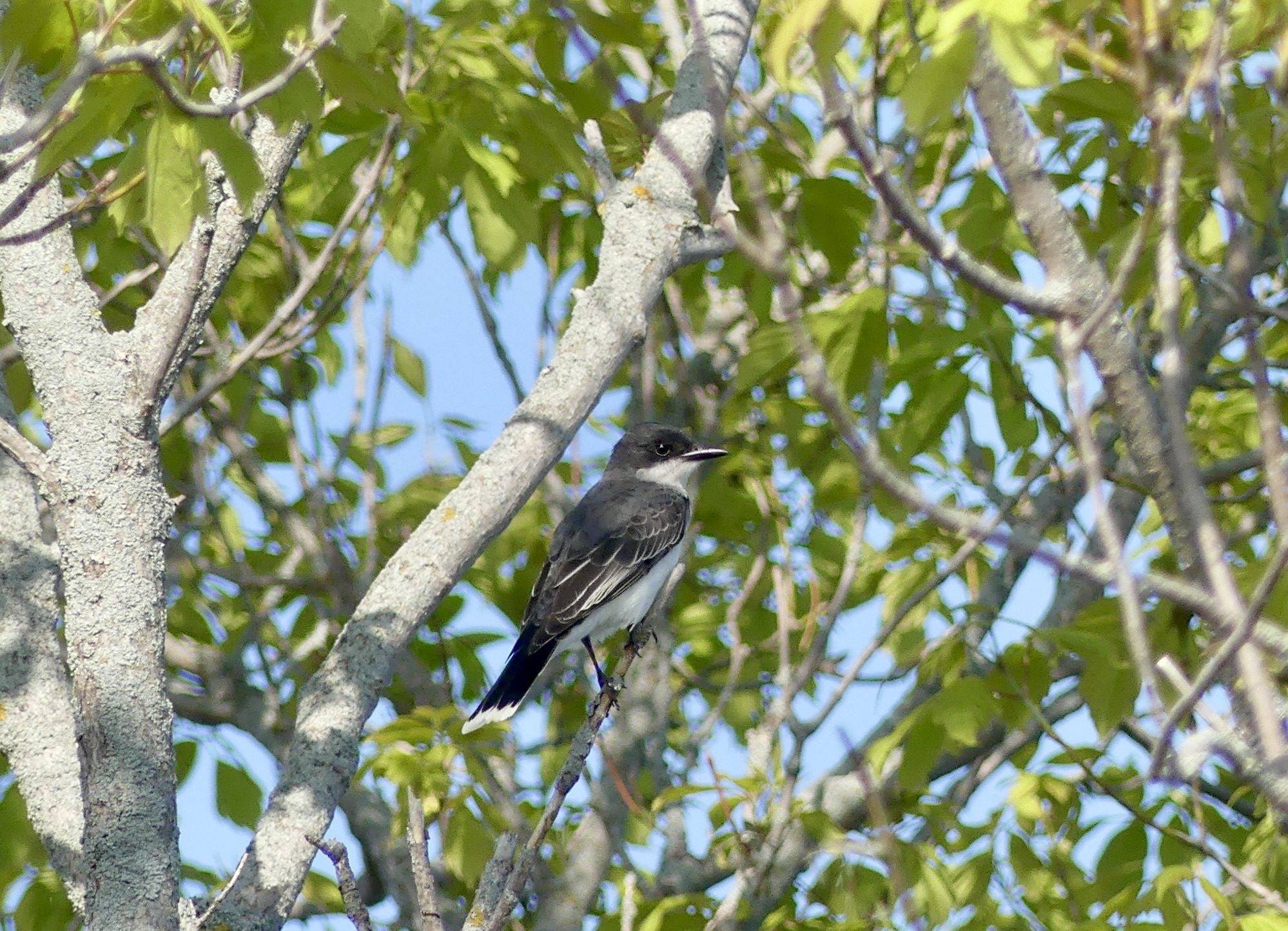
Join BTC ecologist Mara McHaffie and members of the TBTC Biodiversity Team on a leisurely walk along the main trail and some side trails, listening and watching for birds returning from their southern wintering grounds. You need not be a bird expert – we welcome beginning birders! This area features a mix of open areas, thickets, and forest, so we anticipate encountering a good variety of species. The BTC’s protected natural areas, such as the one we will visit, aim to preserve the Escarpment’s unique biodiversity and provide nature-based solutions to addressing climate change.During the hike, we will discuss how you can use apps like iNaturalist, Merlin Bird ID and eBird to enhance your birding experience. If you haven’t done so already, please download these apps ahead of time, as cell service can be spotty at this location.
You may also want to record what you see as you earn points towards the TBTC Naturalist badge.
Along with your curiosity, please bring water and snacks/lunch. End time and distance we will travel are estimates, depending on weather, trail conditions and what we observe!Note that due to the slow pace and frequent stops, you may want to dress more warmly than you would for a faster-paced hike.
This hike is brought to you by the TBTC’s Biodiversity Team. We endeavour to promote the critical role we can all play in protecting and conserving the Niagara Escarpment.
Maximum 10 people
Urban Walk: Valley View Park Thornhill
https://hikes.brucetrail.org/event/urban-walk-valley-view-park-thornhill-165/Sorry, the registration cut-off time for this hike has been reached.Not a member? Click here to join today!Hosting Club: Toronto
Location (Google Maps): Parking lot is off Sycamore Drive, East of Bayview , across Starbucks plaza
Bus 91 from Finch East station stops at Sycamore station.Hike Leader(s): MOHAMMAD AGHAMIRI Click here to contact Hike Leader(s)
Pace: Moderate (3-4 km/hr)
Terrain: Hilly, Level 2 (Intermediate – some hills and uneven surfaces, rocks and roots underfoot)
Distance (km): 6-7 kmDescription
We will explore Valleyview and Maple View parks, and walk along German Mill Creak, in return we stop in Huntington park and have snack under beautiful shed.Although this is considered an “Urban Walk”, you can expect some hills up and down and uneven surfaces with tree roots. Please bring hiking poles, Ice cleats water and snacks.
- 06May 6, 2026No events
- 07May 7, 2026
Urban Walk: Valley View Park Thornhill
https://hikes.brucetrail.org/event/urban-walk-valley-view-park-thornhill-166/Sorry, the registration cut-off time for this hike has been reached.Not a member? Click here to join today!Hosting Club: Toronto
Location (Google Maps): Parking lot is off Sycamore Drive, East of Bayview , across Starbucks plaza
Bus 91 from Finch East station stops at Sycamore station.Hike Leader(s): MOHAMMAD AGHAMIRI Click here to contact Hike Leader(s)
Pace: Moderate (3-4 km/hr)
Terrain: Hilly, Level 2 (Intermediate – some hills and uneven surfaces, rocks and roots underfoot)
Distance (km): 6-7 kmDescription
We will explore Valleyview and Maple View parks, and walk along German Mill Creak, in return we stop in Huntington park and have snack under beautiful shed.Although this is considered an “Urban Walk”, you can expect some hills up and down and uneven surfaces with tree roots. Please bring hiking poles, Ice cleats water and snacks.

Urban Walk: Toronto Islands Evening Walk
https://hikes.brucetrail.org/event/urban-walk-toronto-islands-evening-walk-19/Sorry, the registration cut-off time for this hike has been reached.Not a member? Click here to join today!Hosting Club: Toronto
Category: Urban Walk
Location (Google Maps):Jack Layton Ferry Terminal, by the gate to the Wards Island Ferry. Please arrive 20 minutes prior to departure to check in with hike leader.
From Union Station take the LRT and get off at the stop Ferry Docks.Walk up to the Ferry Docks on Queens Quay West, street level. at the foot of Bay Street.
Hike Leader(s): Miriam Stevens Click here to contact Hike Leader(s)
Pace: Leisurely (2-3 km/hr)
Terrain: Flat, Level 1 (Easy – mostly on flat, well maintained trails with hard-packed surface)
Distance (km): 6-9 kmDescription
After a day’s work come and “cool off” on the Toronto Islands free of fumes and traffic. Enjoy the view of the city skyline and Toronto’s beautiful island parkland.
Pack a dinner for a sit down picnic. Also bring a warm jacket and flashlight.
Return fare ticket for the ferry is $9.57 for adults, $6.15 for seniors
Please check the hike schedule for weather related cancellations (hike will be updated by 11:00 AM day of the hike if any changes)
Toronto Island evening hikes will take place every Thursday in May and June 2026.
Same time and same meeting place. No preregistration is required – just show up at the ferry docks at 5:40 PM and sign in with the hike leader. - 08May 8, 2026No events
- 09May 9, 2026
Loop Hike Hockley Rd 5th Line EHS to 3rd Line EHS
https://hikes.brucetrail.org/event/car-hike-loop-hike-hockley-rd-5th-ehs-to-3rd-ehs/Sorry, the registration cut-off time for this hike has been reached.Not a member? Click here to join today!Hosting Club: Toronto, Caledon Hills
Category: Car Hike
Location (Google Maps): Bruce Trail parking lot on the east side of 5th Line EHS, just south of Hockley Rd. (873603 5 EHS LINE, Mono, ON L9W 6N3)Hike Leader(s): Amir Alemohammad
Pace: Moderate (3-4 km/hr)
Terrain: Hilly, Level 2 (Intermediate – some hills and uneven surfaces, rocks and roots underfoot), Variable
Distance (km): 12-14Description
Join us for a loop hike along the trails of the Hockley Rd region, one of the most beautiful hiking areas in Caledon. Known for its rolling hills, forested trails, and ever-changing seasonal scenery, this hike takes you through a mixed hardwood forest, providing ample shade—perfect for this time of year. You’ll also encounter moderate elevation changes, with some sections following ridge lines and valleys that offer occasional breathtaking scenic viewpoints. We will hike main and side trails between 5th and 3rd Line EHS. Boots mandatory, poles recommended, bring two litres of water, your snack and dress according to weather conditions.School Bus Hike: Iroquoia E2E #7/8 (Map 10 Mount Nemo)
https://hikes.brucetrail.org/event/school-bus-hike-iroquia-e2e-7/Sorry, the registration cut-off time for this hike has been reached.Not a member? Click here to join today!Trip Information
Departure Time: 08:30
Return to City Time: 18:30
Departure Point: Kipling Departure PointOptional Items
Hiking ($.01)Hosting Club: Toronto
Category: Bus Hike
Location (Google Maps): Mount Nemo, Kilbride (Map #10)Hike Leader(s): Tom Swales, Marina Wray Click here to contact Hike Leader(s)
Pace: Moderate (3-4 km/hr)
Terrain: Hilly, Level 2 (Intermediate – some hills and uneven surfaces, rocks and roots underfoot), Rocky, Variable
Distance (km): 17 kmDescription
The seventh hike in our Iroquia E2E will take us through Mount Nemo Conservation Area (scenic view on top of the escarpment), Maple Cross Nature Reserve and Kilbride Pass to Crawford Lake Conservation Area. We begin with a steep climb up the escarment to Mount Nemo Conservation area but it will level out for the rest of the hike. There will be a stop for refreshments and socializing in Milton before returning to Kipling Station. Dropouts at 10 km and 15 km. Anyone is welcome regardless if doing the E2E or not.Trillium hike Richmond hill
https://hikes.brucetrail.org/event/car-hike-rouge-national-park-scarborough-on-8/Sorry, the registration cut-off time for this hike has been reached.Not a member? Click here to join today!Hosting Club: Toronto
Category: Car Hike
Location (Google Maps): Oak Ridges Corridor, Bethesda Trail Head Parking Lot, Bethesda Side Road, Richmond Hill, OntarioHike Leader(s): MOHAMMAD AGHAMIRI Click here to contact Hike Leader(s)
Pace: Moderate (3-4 km/hr)
Terrain: Hilly, Level 2 (Intermediate – some hills and uneven surfaces, rocks and roots underfoot), Variable
Distance (km): 12-14 kmDescription
Join us to explore the trails of York Regional Forest and the Oak Ridges Corridor at Jefferson Forest and Bond lake,Now is the trillium time come and view thousands of this beautiful flower.
The White Trillium became Ontario’s official flower in 1937. The Trillium blooms in early spring throughout the province, with its white blossom associated with peace and hope.
From parking lot we hike thought Jefferson forest and continue to Bond Lake and have snack beside the lake and return to parking around 13 to 13.30
Please bring lots of water and snacks ,hiking poles are recommended
phone number for the day of hike 289 588 6482
Car Hike: Scotsdale Farm
https://hikes.brucetrail.org/event/car-hike-scotsdale-farm-19/Sorry, the registration cut-off time for this hike has been reached.Not a member? Click here to join today!Hosting Club: Toronto
Category: Car Hike
Location (Google Maps):Scotsdale Farm, Map 13
Hike Leader(s): Al Brown Click here to contact Hike Leader(s)
Pace: Moderate (3-4 km/hr)
Terrain: Level 2 (Intermediate – some hills and uneven surfaces, rocks and roots underfoot), Variable
Distance (km): 10-13 kmDescription
Come join me for on the Bruce Trail to see the spring flowers and the first buds of the forest canopy.We will complete a loop hike on the main and side trails through Scotsdale Farm. The trails offer shorter routes for those who do not want to complete the full length. After the hike all are invited to join me for refreshments at the Shepherd’s Crook in old Georgetown.
To get to the meeting point from Hwy 401 go north on Trafalgar Road past Georgetown to the juncture with Hwy 7. North on Hwy 7 to Silver Creek. Turn right and back onto Trafalgar Road. Go north about 1.5 km to the entrance of Scotsdale Farm on your right. The parking area is about 0.5 km from Trafalgar Road near the old homestead.
Urban Walk: Humber River/Swansea Theatre Hike
https://hikes.brucetrail.org/event/urban-walk-humber-river-swansea-theatre-hike-4/Sorry, the registration cut-off time for this hike has been reached.Not a member? Click here to join today!Hosting Club: Toronto
Category: Urban Walk
Location (Google Maps):Meet by the TTC Stop on the Southeast Corner of Scarlett Road and Eglinton Avenue West. Take the #79 Scarlett Road bus from Runnymede Station to Eglinton or the Eglinton West #32A from Eglinton West Station to Scarlett Road.
Hike Leader(s): Miriam Stevens Click here to contact Hike Leader(s)
Pace: Leisurely (2-3 km/hr)
Terrain: Level 1 (Easy – mostly on flat, well maintained trails with hard-packed surface), Variable
Distance: 10-12 kmDescription
Leisurely hike (3 kms/hour – No Racers Please) suitable for beginners and families.
Hike along the Humber River trail and into the Swansea village at Runnymede road and Bloor street west. The hike will end opposite Runnymede Subway near the Village Playhouse Theatre and local restaurants and pubs. Distance may vary according to the weather and trail conditions and how people feel. Early dropout is possible at Old Mill Subway Station.After the hike you are invited to join us for dinner at around 6 PM at Ali Baba Mediterranean restaurant.
We will attend the play “The Cottage” at 8 PM at The Bloor West Village Players theatre, 2190 Bloor Street West, Toronto.
Call the Theatre directly at (416) 767 7702 to reserve your ticket, cost $26- $29.00. Please do mention that you’re with the Bruce Trail Conservancy, Toronto Club so they know we are supporting them.Paid parking is available off Kennedy Avenue north of Bloor Street West (behind the Village Playhouse Theatre building). There is no parking available at the start of the hike.