Join us for a hike! Registration required:
All hikes available to BTC members. Some hikes are open to non-members.
TIP: The calendar view displays up to 7 hikes on a day, but often there are more. Click “More events” to see them all.
Toronto Hike Schedule
Toronto Bruce Trail Club Registration Live Dates
Day Winter Coach Program
Registration begins two weeks in advance of the event departure (at 8:00 PM)
Day Bus Hikes
Registration begins two weeks in advance of the event departure (at 8:00 PM) with some exceptions of special event hikes
Day Coach Hikes
Registration begins 7 weeks in advance of the event departure
Day Car Hikes and Urban Hikes
Registration begins two weeks in advance of the event departure
Overnight and Weekend Trips
Registration begins 12 weeks in advance of the event departure
To view all Bruce Trail Conservancy Hikes click here
- 26April 26, 2026
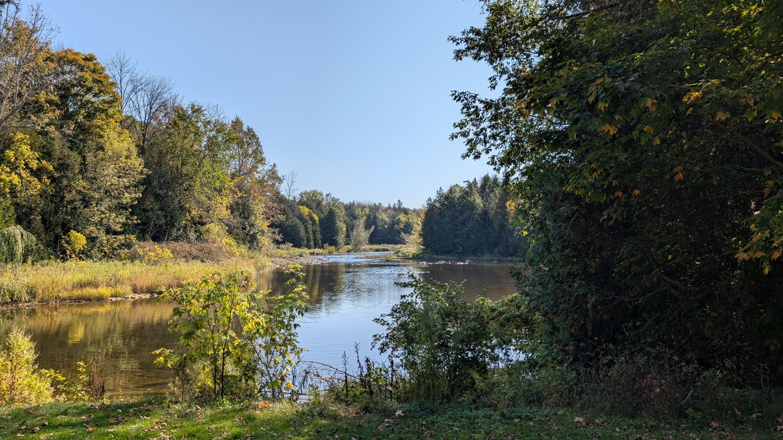
Car Hike: Exploring Uxbridge Trails (Wilder Forest, Walker Woods, and Glen Major Forest)
https://hikes.brucetrail.org/event/car-hike-exploring-uxbridge-trails-wilder-forest-walker-woods-and-glen-major-forest-19/Sorry, the registration cut-off time for this hike has been reached.Not a member? Click here to join today!Hosting Club: Toronto
Category: Car Hike
Location (Google Maps):2499 Brock Rd, Uxbridge, ON L9P 1R4. We will meet at the East Duffins Headwaters parking lot at the WILDER FOREST trail head. As soon as you got off the Brock Road, passing the horse back riding facility, there is a free designated parking lot 70 meters down the lane to your right. It includes a sign board for East Duffins Headwaters with a map of the trails. Please do not park on the lane or in the horse back riding property.
Hike Leader(s): Amir Alemohammad Click here to contact Hike Leader(s)
Pace: Moderate (3-4 km/hr)
Terrain: Hilly, Level 2 (Intermediate – some hills and uneven surfaces, rocks and roots underfoot)
Distance (km): Approx.15-16 KmDescription
Join us for a delightful hike in Uxbridge, as we explore Wilder Forest, Walker Woods, and Glen Major Forest on a scenic loop starting from Brock Road. We’ll pass Concession Road 6, heading east and back, while also venturing onto several side trails for even more stunning views.What to Expect:
•Beautiful scenic views and lookouts facing south
•A mix of hilly and flat terrain
•Frequent 2-minute breaks for hydration and photos, with a 10-15 minute snack stop
•Stay on designated trails at all time
What to Bring and Wear:
•Hiking Boots and poles (recommended) and be prepared for the ice on the trail, keep your icers handy.
•At least 2 liters of water
•Your favorite snacks and lunch (pack your own refreshments for an outdoor meal)
•Dress according to variable weather conditions!
Important Details:
•Stay on the designated trails
•Be prepared for the elements and enjoy the adventure!
Looking forward to seeing you on the trail!
Don’t forget your camera and a smile as we explore the beauty of the Uxbridge trails!
This is a joint hike with the Oak Ridges Trail Association (ORTA).
Urban Walk: Hendrie Valley Sanctuary to West Harbour GO Station, Hamilton
https://hikes.brucetrail.org/event/urban-walk-hendrie-valley-sanctuary-to-west-harbour-go-station-hamilton-3/Sorry, the registration cut-off time for this hike has been reached.Not a member? Click here to join today!Hosting Club: Toronto
Category: GO Train Hike
Location (Google Maps):Meet in the Great Hall of Union Station by the information desk with the clock with by 8:45 AM to take the Lakeshore West Express train towards Aldershot departing at 9:05 AM
Hike Leader(s): Tom Swales Click here to contact Hike Leader(s)
Pace: Moderate (3-4 km/hr)
Terrain: Hilly, Level 2 (Intermediate – some hills and uneven surfaces, rocks and roots underfoot), Variable
Distance (km): 12 kmDescription
From Aldershot GO Station we will hike to scenic Hidden Valley Park and the Hendrie Valley Sanctuary, a popular spot for birdlife. Then on to Burlington Heights and the Hamilton Waterfront Trail to catch the train back to Toronto from the West Harbour GO Station. Optional drop out at Burlington Heights by taking the local bus to Burlington GO Station. Optional pub stop at Fisher’s Pier 4 pub north of West Harbour GO Station.Car Hike: Spring Flowers in Hockley Valley, Map 18
https://hikes.brucetrail.org/event/car-hike-spring-flowers-in-hockley-valley-map-18/Sorry, the registration cut-off time for this hike has been reached.Not a member? Click here to join today!Hosting Club: Toronto, Caledon Hills
Category: Car Hike
Location (Google Maps): Hockley Valley Provincial Nature ReserveHike Leader(s): Al Brown Click here to contact Hike Leader(s)
Pace: Moderate (3-4 km/hr)
Terrain: Challenging, Hilly, Level 2 (Intermediate – some hills and uneven surfaces, rocks and roots underfoot)
Distance (km): 14 kmDescription
We will complete a loop hike through the nature reserve along one of the hilliest sections of the Trail. Spring flowers should be in bloom adding colour.After the hike those interested can meet for refreshments in the local area.
To get to the meeting point drive north on Hwy 10 past Orangeville to Hockley Road. Turn right and go about 6 km to the parking area. It is across the road from the Black Birch restaurant.
- 27April 27, 2026No events
- 28April 28, 2026
Urban Walk: Valley View Park Thornhill
https://hikes.brucetrail.org/event/urban-walk-valley-view-park-thornhill-163/Sorry, the registration cut-off time for this hike has been reached.Not a member? Click here to join today!Hosting Club: Toronto
Location (Google Maps): Parking lot is off Sycamore Drive, East of Bayview , across Starbucks plaza
Bus 91 from Finch East station stops at Sycamore station.Hike Leader(s): MOHAMMAD AGHAMIRI Click here to contact Hike Leader(s)
Pace: Moderate (3-4 km/hr)
Terrain: Hilly, Level 2 (Intermediate – some hills and uneven surfaces, rocks and roots underfoot)
Distance (km): 6-7 kmDescription
We will explore Valleyview and Maple View parks, and walk along German Mill Creak, in return we stop in Huntington park and have snack under beautiful shed.Although this is considered an “Urban Walk”, you can expect some hills up and down and uneven surfaces with tree roots. Please bring hiking poles, Ice cleats water and snacks.
- 29April 29, 2026No events
- 30April 30, 2026
Urban Walk: Valley View Park Thornhill
https://hikes.brucetrail.org/event/urban-walk-valley-view-park-thornhill-164/Sorry, the registration cut-off time for this hike has been reached.Not a member? Click here to join today!Hosting Club: Toronto
Location (Google Maps): Parking lot is off Sycamore Drive, East of Bayview , across Starbucks plaza
Bus 91 from Finch East station stops at Sycamore station.Hike Leader(s): MOHAMMAD AGHAMIRI Click here to contact Hike Leader(s)
Pace: Moderate (3-4 km/hr)
Terrain: Hilly, Level 2 (Intermediate – some hills and uneven surfaces, rocks and roots underfoot)
Distance (km): 6-7 kmDescription
We will explore Valleyview and Maple View parks, and walk along German Mill Creak, in return we stop in Huntington park and have snack under beautiful shed.Although this is considered an “Urban Walk”, you can expect some hills up and down and uneven surfaces with tree roots. Please bring hiking poles, Ice cleats water and snacks.
- 01May 1, 2026
Sydenham Weekend in Owen Sound, May 1 to 3
https://hikes.brucetrail.org/event/sydenham-weekend-in-owen-sound-may-1-to-3/Sorry, the registration cut-off time for this hike has been reached.Not a member? Click here to join today!Trip Information
Departure Time: 07:30
Return to City Time: 20:00
Departure Point: York Mills Bus PickupTrip Activities
Hiking ($.01)
Optional ItemsHosting Club: Toronto
Category: Coach Trips
Location (Google Maps): Owen SoundHike Leader(s): George Lennon, Martina Furrer, Roland Mark, Robin Crombie Click here to contact Hike Leader(s)
Pace: Mixed (See Hike Description)
Terrain: Challenging, Hilly, Level 2 (Intermediate – some hills and uneven surfaces, rocks and roots underfoot), Rocky, Variable
Distance (km): 12-18 kmDescription
Join us for three days of hiking on what many consider the most rugged section of the Bruce Trail. Overnight group will be lodging at the Best Western Inn On The Bay in Owen Sound.This will be a challenging three days of hiking with some strenuous climbs and sometimes difficult footing over tree roots, rocks and crevasses. All fit, experienced hikers comfortable walking on this type or terrain are welcome. For your safety and enjoyment as well as the group’s, before registering we strongly encourage you to join some of our day hikes on the Bruce Trail. This will give you a chance to get to know us and assess your abilities.
We will split the group and offer two levels of hikes each day. The moderate group will hike about 12 km each day. and the fast group 15 km or more. The specific trails will be determined closer to the date.
Accommodation at the hotel is no longer available at the discounted group rate. Rooms at the Best Western will be at their regular rate given on the hotel’s website and/or registration desk.
Coach fare is $170 for members; $190.00 for non-members; $100 for children.
Registration instructions:
If you wish to share accommodation, please find a roommate, then book your hotel room, and then book your seats on the coach. To avoid problems make sure you and your roommate reserve your seats at the same time.
- Book your room online using the Best Western Inn on the Bay’s website (https://bwowensound.com/) or through their reservation desk (519) 371-9200. Make arrangements with your roommate to split the cost.
- To reserve your seat on the bus, register here starting on Thursday January 15 at 8 PM.
Cancellation policy: While we are hoping for sunshine, the trip cannot be cancelled due to weather. Coach fare is non-refundable if cancellation is made less than 30 days in advance of the departure date.
Our coach will depart at 7:30 AM on Friday May 1. We plan to be back in Toronto between 7 and 8 PM on Sunday May 3. Departure locations: 10 York Mills Rd and HWY 400 and Major Mackenzie Park and Ride.
- 02May 2, 2026
Loop hike exploring Glasgow, Goodwood, Secord Forest Trails at Durham Region
https://hikes.brucetrail.org/event/loop-hike-exploring-glasgow-goodwood-secord-forest-trails-at-durham-region/Sorry, the registration cut-off time for this hike has been reached.Not a member? Click here to join today!Hosting Club: Toronto
Category: Car Hike
Location (Google Maps): Meet in the parking lot east side of Concession 2, (Whitchurch-Stouffville), 200m south of Webb Rd. This is a free Parking lot.Hike Leader(s): Amir Alemohammad Click here to contact Hike Leader(s)
Pace: Moderate (3-4 km/hr)
Terrain: Flat, Hilly, Level 2 (Intermediate – some hills and uneven surfaces, rocks and roots underfoot), Variable
Distance (km): 14-16 KmDescription
Join us to explore the nature of Goodwood Conservation Area and Secord Forest. The trail is fairly level lowland wetlands with many boardwalks making an otherwise inaccessible terrain traversable. There are a few meadows and upland woods thrown in there though. Although mostly a flat trail, expect some hills and sharp steep trails in between. In this season a mix of birds sounds and spring flowers adds to the beauty of the scene. Secord Forest, Pond and dog cemetery will be on our way to the hike. Bring at least two litters of water and your favorite snacks. Boots mandatory, poles highly recommended. Dress according to the spring humid. Be prepared for the rise of the bugs and ticks and make your spray ready on hand.Boyd Conservation Park ,Vaughan
https://hikes.brucetrail.org/event/car-hike-boyd-conservation-park-vaughan-13/Sorry, the registration cut-off time for this hike has been reached.Not a member? Click here to join today!Hosting Club: Toronto
Category: Car Hike
Location (Google Maps): Free Parking lot before entrance of park on Islington Ave.Hike Leader(s): Mohammad Aghamiri Click here to contact Hike Leader(s)
Pace: Moderate (3-4 km/hr)
Terrain: Hilly, Level 2 (Intermediate – some hills and uneven surfaces, rocks and roots underfoot), Variable
Distance (km): 12-14 kmDescription
Let’s hike Boyd conservation park trails through beautiful valleys.Please bring lots of water and snacks ,hiking poles are recommended
phone number for the day of hike 289 588 6482
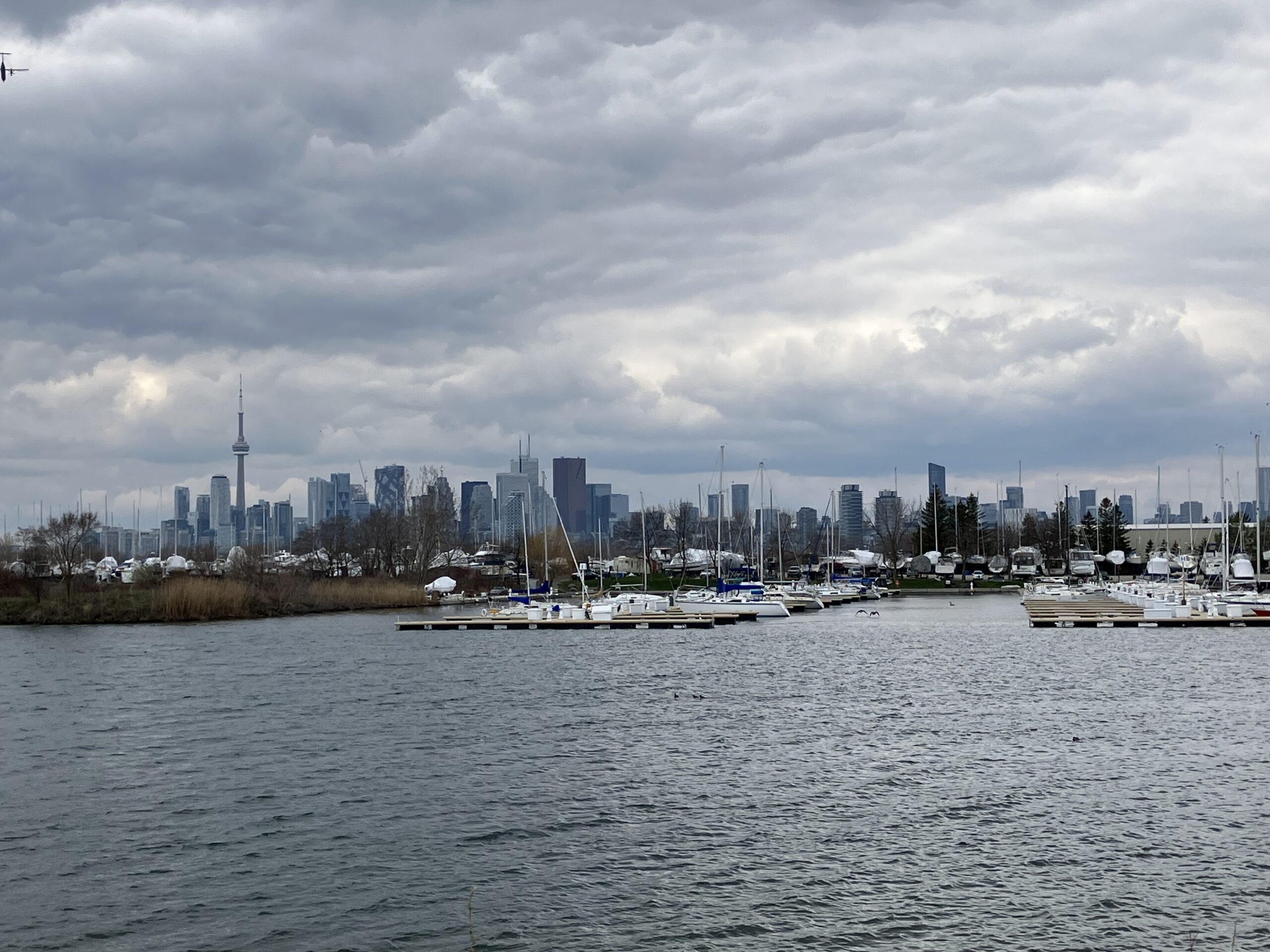
Urban Walk; Tommy Thompson Park
https://hikes.brucetrail.org/event/urban-walk-tommy-thompson-park/Sorry, the registration cut-off time for this hike has been reached.Not a member? Click here to join today!Hosting Club: Toronto
Category: Urban Walk
Location (Google Maps): Tommy Thompson ParkHike Leader(s): Leila Damband Click here to contact Hike Leader(s)
Pace: Moderate (3-4 km/hr)
Terrain: Flat, Level 1 (Easy – mostly on flat, well maintained trails with hard-packed surface)
Distance (km): 12 KmDescription
Hi my dear hikers,I’m inviting you to join us on the first Saturday of the beautiful month of May for an enjoyable walk at Tommy Thompson Park, Toronto’s urban wilderness. It’s a unique spot near downtown Toronto to experience nature and one of the best places for birdwatching—so bring your binoculars if you have them.
Notes:
- It’s May, and showers can be expected at any time, so come prepared.
- Bring 2L of drinking water and a lunch/snack.
- Feel free to invite your family members and friends to join.
- Please be on time. If you need to cancel, kindly do so via the website to give an opportunity to waitlisted hikers.
- TTC users can take Bus #83 from Donlands Subway Station (check https://www.ttc.ca/ for any updates or closures). Free public parking is available at the trailhead on a first-come, first-served basis. Washrooms are located at the trailhead, with some additional vault toilets available on the trails. You will receive an update email on Thursday, April 30.
Fingers crossed for a nice sunny day—see you all soon!
Urban Walk: Toronto Urban Badge Hike - 6 of 7
https://hikes.brucetrail.org/event/urban-walk-toronto-urban-badge-hike-6-of-7-3/Sorry, the registration cut-off time for this hike has been reached.Not a member? Click here to join today!Hosting Club: Toronto
Category: Urban Walk
Location (Google Maps): Toronto, Ontario, CanadaHike Leader(s): Brian Rideout Click here to contact Hike Leader(s)
Pace: Moderate (3-4 km/hr)
Terrain: Flat
Distance (km): 9 kmDescription
Please join me at the south east corner of Sheppard Ave East and Leslie by 10 AM. We will hike south through several parks to Don Mills (S of Overlea) (km 51.7 to km 62.4). Here is an online map with km markings of our route for all 7 hikes for the Toronto Urban Badge: https://onthegomap.com/s/c2c1hf3nPlease make sure you bring at least 2 liters of water, a lunch, bug spray and sunscreen.