
Join us for a hike! Registration required:
All hikes available to BTC members. Some hikes are open to non-members.
TIP: The calendar view displays up to 7 hikes on a day, but often there are more. Click “More events” to see them all.
Toronto Hike Schedule
Toronto Bruce Trail Club Registration Live Dates
Day Winter Coach Program
Registration begins two weeks in advance of the event departure (at 8:00 PM)
Day Bus Hikes
Registration begins two weeks in advance of the event departure (at 8:00 PM) with some exceptions of special event hikes
Day Coach Hikes
Registration begins 7 weeks in advance of the event departure
Day Car Hikes and Urban Hikes
Registration begins two weeks in advance of the event departure
Overnight and Weekend Trips
Registration begins 12 weeks in advance of the event departure
To view all Bruce Trail Conservancy Hikes click here
- 27April 27, 2025

Car Hike: Northeast Trail in Rouge National Urban Park
https://hikes.brucetrail.org/event/car-hike-northeast-trail-in-rouge-national-urban-park/Sorry, the registration cut-off time for this hike has been reached.Not a member? Click here to join today!Hosting Club: Toronto
Category: Car Hike
Location (Google Maps): Rouge National Urban Park, Black Walnut Day Use Area, Parking Lot
7445 Elgin Mills Rd E, MarkhamHike Leader(s): Kerry Seong, Jacquie Van Dyke Click here to contact Hike Leader(s)
Pace: Moderate (3-4 km/hr)
Terrain: Flat, Variable
Distance: 10.7 KMDescription
Please join us a car hike on Northeast Trail in Rouge National Urban Park. This trail passes through a variety of landscapes such as wetlands, forests, meadows, and farmland. Along the route, we will find seven boardwalks, including a pergola seating area with views of a marsh. Constructed with a durable fiber-glass substructure designed to last for centuries, these boardwalks represent one of Rouge National Urban Park’s latest eco-friendly projects.This is a shuttle hike from Glasgow Trailhead to Black Walnut Day Use Area.
Please
- be prepared to use your vehicle to transport hikers
- bring a garbage bag for your dirty boots and clean footwear to change into for the ride back the start. We will leave those things in the cars at the start so you don’t have to carry them on the hike.
- wear a comfortable boots and layers for the weather.
- pack hiking poles, icers, bug spray and sunblock.
- bring 2 L of water, snack/lunch.
Car Hike: Hockley Valley, Map 18
https://hikes.brucetrail.org/event/car-hike-hockley-valley-map-18-4/Sorry, the registration cut-off time for this hike has been reached.Not a member? Click here to join today!Hosting Club: Toronto
Category: Car Hike
Location (Google Maps): Hockley Valley Provincial Nature ReserveHike Leader(s): Al Brown Click here to contact Hike Leader(s)
Pace: Moderate (3-4 km/hr)
Terrain: Hilly, Level 2 (Intermediate – some hills and uneven surfaces, rocks and roots underfoot)
Distance: 14 kmDescription
We will complete a loop hike on the main and side trails. This is one of the hilliest parts of the Bruce Trail. Spring flowers should be in abundance.After the hike those interested may join me for refreshments in the local area.
To get to the meeting place take Hwy 10 north from Orangeville to Hockley Road. Turn right and go about 5 km east to the parking area on your left.
- 28April 28, 2025No events
- 29April 29, 2025
Urban Walk: Valley View Park Thornhill
https://hikes.brucetrail.org/event/urban-walk-valley-view-park-thornhill-75/Sorry, the registration cut-off time for this hike has been reached.Not a member? Click here to join today!Hosting Club: Toronto
Location (Google Maps): Parking lot is inside Sycamore Drive East of Bayview , across Starbucks plaza
Hike Leader(s): Mohammad Aghamiri Click here to contact Hike Leader(s)
Pace: Moderate (3-4 km/hr)
Terrain: Hilly, Level 2 (Intermediate – some hills and uneven surfaces, rocks and roots underfoot)
Distance: 7-8 kmDescription
We will explore Valleyview and Maple View parks, and walk along German Mill Creak, in return we stop in Huntington park and have snack under beautiful shed ,Even it is considered Urban walk, it is urban hike as we have some up and down hills and tree roots, please bring your hiking poles, water and snacks
- 30April 30, 2025

Caledon-in-5 Stained Glass Fundraising series
https://hikes.brucetrail.org/event/caledon-in-5-stained-glass-fundraising-series/Sorry, the registration cut-off time for this hike has been reached.Not a member? Click here to join today!Hike open to BTC Members only.
This is a Multi-Day Hike
You are signing up for the following dates:
2025-04-30, 2025-05-07, 2025-05-14, 2025-05-21, 2025-05-28Hosting Club: Toronto, Caledon Hills
Category: Car Hike
Location (Google Maps): Hike 1: Meet at roadside parking along the southwest shoulder of the Willoughby Rd and Escarpment Sideroad intersection, km 15.9 (Map 15, Edition 31).
Directions: From Hwy #10 head west on Escarpment Sideroad for approximately 1.5 km.Hike Leader(s): Jacquie Van Dyke Click here to contact Hike Leader(s)
Pace: Moderate (3-4 km/hr)
Terrain: Variable
Distance: Hike distances range from 13 km to 16 km.Description
Come and join us on these 5 hikes to earn Caledon’s Stained Glass Fundraising badge, which is part of the collectable Bruce Trail Club’s stained glass themed fundraiser set. This series of 5 hikes will take place on consecutive Wednesdays, beginning April 30. Bring snacks and your choice of hydration. In early April, hike details for hikes 2 – 5, will be emailed to participants. On this first hike, please meet and be ready for an 8:30 shuttle. We’ll hike through the Badlands (which may be muddy) and the Forks of the Credit Provincial Park. Please note: in order to earn the Stained Glass badge, you may miss one hike but must make it up by the last day of the series (May 28).Car Hike: Midweek fitness hike in the Hockley Valley (spring flowers hike)
https://hikes.brucetrail.org/event/car-hike-midweek-fitness-hike-in-the-hockley-valley-spring-flowers-hike/Sorry, the registration cut-off time for this hike has been reached.Not a member? Click here to join today!Hosting Club: Toronto
Category: Car Hike
Location (Google Maps): Hockley Valley Provincial Nature ReserveHike Leader(s): Natalia Svechnikova Click here to contact Hike Leader(s)
Pace: Moderate (3-4 km/hr)
Terrain: Hilly, Level 2 (Intermediate – some hills and uneven surfaces, rocks and roots underfoot), Variable
Distance: about 14 kmDescription
Please join me for an enjoyable spring flowers hike on the Bruce Trail (main and side trails). We will be following a loop of ca 14 km and try to keep a moderate pace of about 3 km/h. The trail is a bit hilly with a few uphill sections after which we will stop for short water breaks. There will be a lunch break for about 20 min. We should be back to the parking lot around 3:30 pm.Please be dressed for the weather, wear hiking shoes/boots and pack your rain gear (just in case), at least 2 L of water, light lunch and snacks, your sunglasses and/or hut.
We will meet on the dedicated Hockley Valley PNR / Bruce Trail parking lot on the Hockley Road (opposit side of the Hockley Valley Resort and the Black Birch Restaurant (exact map location
43.9728974807774, -80.05570691699788) just before 10:30 am and start hiking at 10:30 am.
Please note that this hike will be cancelled in case of inclement weather.
- 01May 1, 2025
Urban Walk: Valley View Park Thornhill
https://hikes.brucetrail.org/event/urban-walk-valley-view-park-thornhill-74/Sorry, the registration cut-off time for this hike has been reached.Not a member? Click here to join today!Hosting Club: Toronto
Location (Google Maps): Parking lot is inside Sycamore Drive East of Bayview , across Starbucks plaza
Hike Leader(s): Mohammad Aghamiri Click here to contact Hike Leader(s)
Pace: Moderate (3-4 km/hr)
Terrain: Hilly, Level 2 (Intermediate – some hills and uneven surfaces, rocks and roots underfoot)
Distance: 7-8 kmDescription
We will explore Valleyview and Maple View parks, and walk along German Mill Creak, in return we stop in Huntington park and have snack under beautiful shed ,Even it is considered Urban walk, it is urban hike as we have some up and down hills and tree roots, please bring your hiking poles, water and snacks
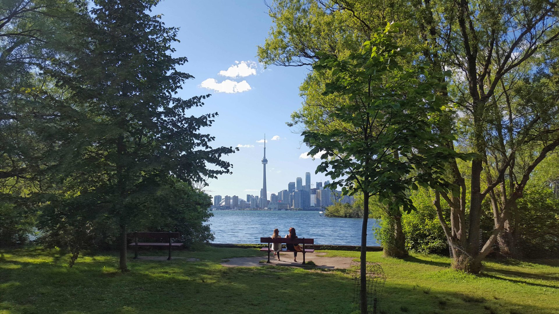
Urban Walk: Toronto Islands Evening Walk
https://hikes.brucetrail.org/event/urban-walk-toronto-islands-evening-walk-10/Sorry, the registration cut-off time for this hike has been reached.Not a member? Click here to join today!Hosting Club: Toronto
Category: Urban Walk
Location (Google Maps):Jack Layton Ferry Terminal, near the gates to Wards Island Ferry. Arrive 20 minutes prior to departure to check in with hike leader.
From Union Station take the LRT and get off at the stop Ferry Docks.Walk up to the Ferry Docks on Queens Quay West, street level. at the foot of Bay Street.
Hike Leader(s): Miriam Stevens Click here to contact Hike Leader(s)
Pace: Leisurely (2-3 km/hr)
Terrain: Flat
Distance: 6-9 kmDescription
After a day’s work come and “cool off” on the Toronto Islands free of fumes and traffic. Enjoy the view of the city skyline and Toronto’s beautiful island parkland.
Pack a dinner for a sit down picnic. Food is not available for purchase on the Islands early in the season. Also bring a warm jacket and flashlight.
Return fare ticket for the ferry is $9.11 adults and $5.86 seniors.
Hikes will take place rain or shine.
Toronto Island evening hikes will take place every Thursday in May and June 2025.
Same time and same meeting place. No preregistration is required – just show up at the ferry docks at 5:40 PM and sign in with the hike leader. - 02May 2, 2025No events
- 03May 3, 2025

Coach Trip: Presqu'ile Provincial Park Alpaca Hike
https://hikes.brucetrail.org/event/coach-trip-presquile-provincial-park-alpaca-hike/Sorry, the registration cut-off time for this hike has been reached.Not a member? Click here to join today!Trip Information
Departure Time: 08:00
Return to City Time: 18:30
Departure Point: York Mills Bus PickupTrip Activities
Alpaca Experience (Payable by etransfer in advance - (mandatory) See Hike Description) ($40.00)
Optional Items
Hiking (Please select both this item and above item) ($.01)Hosting Club: Toronto
Category: Coach Trips
Location (Google Maps): Presqu’ile Provincial ParkHike Leader(s): Lisa R. Lifshitz, Nijole Mockevicius, Felix Wan Click here to contact Hike Leader(s)
Pace: Moderate (3-4 km/hr)
Terrain: Flat, Level 1 (Easy – mostly on flat, well maintained trails with hard-packed surface)
Distance: 9kmDescription
Come join us for our second annual Alpaca/Presqu’ile Provincial Park hike, located in Brighton, Ontario. Travelling in a luxury coach bus, we start by visiting Old Mill Alpacas, an Alpca farm where you will have the opportunity to take turns walking Alpacas, spend time with them to feed them apples, learn about their habits and take lots of great photos. Our lunch will be in Presqu’ile Provincial Park. In the early afternoon we will hike the best trail of the Park, visiting paths along the shorelines, woodlands and meadows. We will also stop at the second oldest operating lighthouse in Ontario. We will also do the marsh boardwalk trail accessing the largest protected marsh on the north shore of Lake Ontario. We have negotiated a special rate for the Alpca experience ($40, tax included) which must be paid to Lisa separately from the bus rates in advance to join the bus. Please e-transfer $40 to lisa.ruth@rogers.com per person attending promptly (no later than 48 hours) after you register for this hike on the site. If time permits, we will also stop at the Big Apple before we head back to Toronto. Total hiking around 9km but it will be an amazing day.Reminder to our non-members: You are most welcome to join this hike but you must remember to sign up with the Bruce Trail using this signup process in addition to e-transferring payment for the Alpaca tour as you have to be formally registered (and pay the Bruce Trail bus fees) in advance to get on the bus.
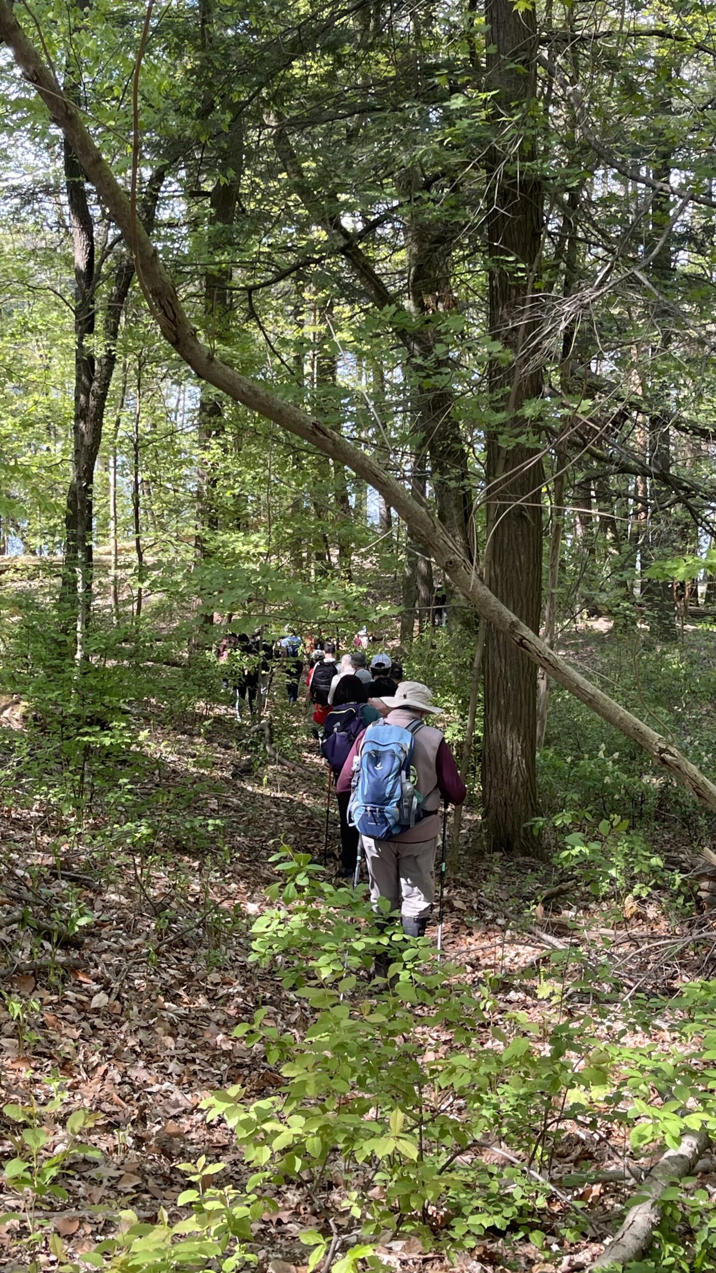
Car Hike: Canceled- Exploring Uxbridge Trails (Wilder Forest, Walker Woods, and Glen Major Forest)
https://hikes.brucetrail.org/event/car-hike-exploring-uxbridge-trails-wilder-forest-walker-woods-and-glen-major-forest-6/Sorry, the registration cut-off time for this hike has been reached.Not a member? Click here to join today!Hosting Club: Toronto
Category: Car Hike
Location (Google Maps):2499 Brock Rd, Uxbridge, ON L9P 1R4. We will meet at the East Duffins Headwaters parking lot at the WILDER FOREST trail head. As soon as you got off the Brock Road, passing the horse back riding facility, there is a free designated parking lot 70 meters down the lane to your right. It includes a sign board for East Duffins Headwaters with a map of the trails. Please do not park on the lane or in the horse back riding property.
Hike Leader(s): Amir Alemohammad Click here to contact Hike Leader(s)
Pace: Moderate (3-4 km/hr)
Terrain: Flat, Hilly, Level 2 (Intermediate – some hills and uneven surfaces, rocks and roots underfoot), Variable
Distance: Approx.14-15 KmDescription
Join us for a delightful spring hike in Uxbridge, as we explore Wilder Forest, Walker Woods, and Glen Major Forest on a scenic loop starting from Brock Road. We’ll pass Concession Road 6, heading west and back, while also venturing onto several side trails for even more stunning views.What to Expect:
•Beautiful scenic views and lookouts facing south
•A mix of hilly and flat terrain
•Frequent 2-minute breaks for hydration and photos, with a 10-20 minute lunch/snack stop
•Stay on designated trails at all times
What to Bring and Wear:
•Hiking Boots and poles (recommended)
•At least 2 liters of water
•Your favorite snacks and lunch (pack your own refreshments for an outdoor meal)
•Dress accordingly variable weather; chilly morning with midday higher temperatures expected
Important Details:
•Stay on the designated trails
•Be prepared for the elements and enjoy the adventure!
Looking forward to seeing you on the trail!
Don’t forget your camera and a smile as we explore the beauty of the Uxbridge trails!
Car Hike: East Point Park Bird Sanctuary, Scarborough, ON
https://hikes.brucetrail.org/event/car-hike-east-point-park-bird-sanctuary-scarborough-on-3/Sorry, the registration cut-off time for this hike has been reached.Not a member? Click here to join today!Hosting Club: Toronto
Location (Google Maps): East Point Park Bird Sanctuary, Scarborough, ON
parking lot at the end of Beech grove Dr.Hike Leader(s): Mohammad Aghamiri Click here to contact Hike Leader(s)
Pace: Moderate (3-4 km/hr)
Terrain: Flat
Distance: 12-14 kmDescription
We will hike along lake Ontario to Scarborough Bluffs.Please bring hiking poles, proper closing and shoes and lots of smile,
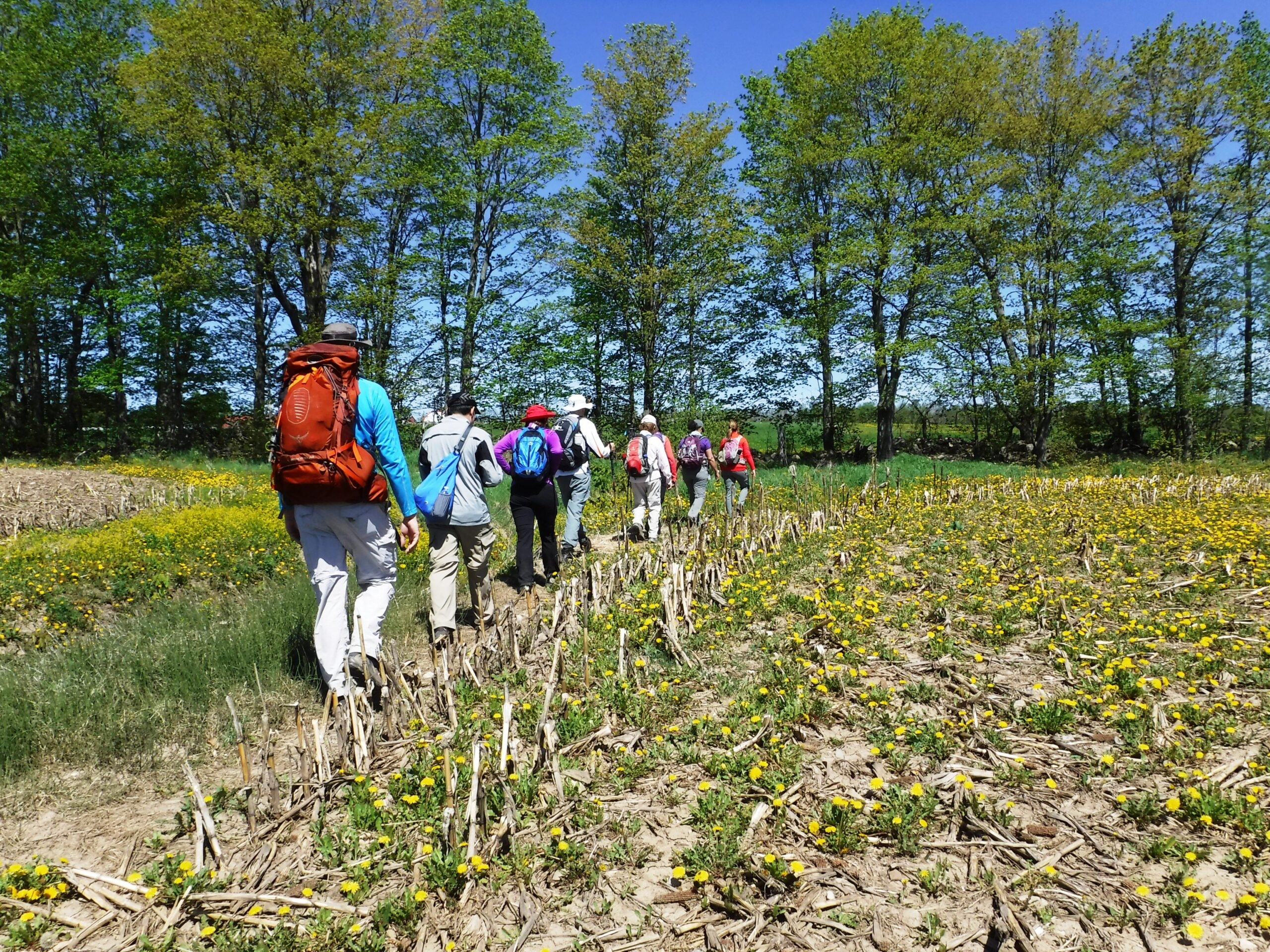
Car Hike: Rouge National Park Trails 16 KM + Farm Visit
https://hikes.brucetrail.org/event/car-hike-rouge-national-park-trails-16-km-farm-visit/Sorry, the registration cut-off time for this hike has been reached.Not a member? Click here to join today!Hosting Club: Toronto
Category: Car Hike
Location (Google Maps):Rouge National Urban Park, 19th Avenue Day Use Area
Hike Leader(s): Alina Lin
Pace: Brisk (4-5 km/hr)
Terrain: Challenging, Level 2 (Intermediate – some hills and uneven surfaces, rocks and roots underfoot), Variable
Distance: 16 KMDescription
Meet at the parking lot Northeast of the Ninth Line @ 19th Ave, GPS ( 43.952621, -79.246167) .Please arrive before 8:45 am to get yourself ready.
We will leave the parking lot at 9:00am, hike along Rouge National Park Trails to the Regional Road 5 , and then return. Here is the planned route FYI: https://onthegomap.com/s/mkd1mq6k . Depending on the trail condition, we may have to adjust the route or distance.
After hike, feel free to join me for a local farm visit at the Carma Farms (11471 9th Line, Markham, ON L6B, Canada, Markham, ON, Canada, Ontario).
Notes for your attention:
- Wear clothing in layers for the weather.
- Bring water, snacks or light lunch. We will have a short break for lunch after reaching turning point.
- No dogs/pets.
Car Hike: Mono Cliffs, map 19
https://hikes.brucetrail.org/event/car-hike-mono-cliffs-map-19/Sorry, the registration cut-off time for this hike has been reached.Not a member? Click here to join today!Hosting Club: Toronto
Category: Car Hike
Location (Google Maps): Mono Cliffs Provincial ParkHike Leader(s): Al Brown Click here to contact Hike Leader(s)
Pace: Moderate (3-4 km/hr)
Terrain: Level 1 (Easy – mostly on flat, well maintained trails with hard-packed surface), VariableDescription
We will complete a loop hike through the Mono Cliffs PP. The route will take us north out of the Park to the Split Rock Side Trail and thence back to the Community Centre. Spring flowers should be evident as well as the first buds of spring.After the hike those interested may join me for refreshments in the local area.
To get to the meeting place drive north on Hwy 10 past Orangeville to County Road 8. The small community at the crossroads is called Camilla. Return right and go about 5 km to the village of Mono. the Community Centre is on your right just before the village. The entrance to the parking area is next to a tennis court.

Urban Walk: Toronto Urban Badge Hike - 2 of 7
https://hikes.brucetrail.org/event/urban-walk-toronto-urban-badge-hike-2-of-7/Sorry, the registration cut-off time for this hike has been reached.Not a member? Click here to join today!Hosting Club: Toronto
Category: Urban Walk
Location (Google Maps): Humber River Recreational TrailHike Leader(s): Brian Rideout Click here to contact Hike Leader(s)
Pace: Moderate (3-4 km/hr)
Terrain: Flat
Distance: 10.9 kmDescription
Please join me at the south east corner of Eglinton and Scarlett by 10 AM. We will hike south on the Humber Recreational Trail to Lakeshore Blvd and Ellis (km 19.2 to km 8.3). Here is an online map with km markings of our route for all 7 hikes for the Toronto Urban Badge: https://onthegomap.com/s/c2c1hf3nPlease make sure you bring at least 2 liters of water, a lunch, bug spray and sunscreen.

Tommy Thompson Park
https://hikes.brucetrail.org/event/tommy-thompson-park/Sorry, the registration cut-off time for this hike has been reached.Not a member? Click here to join today!Hosting Club: Toronto
Category: Car Hike
Location (Google Maps): Toronto, Tommy Thompson ParkHike Leader(s): Leila Damband, Tim Wainwright Click here to contact Hike Leader(s)
Pace: Moderate (3-4 km/hr)
Terrain: Flat, Level 1 (Easy – mostly on flat, well maintained trails with hard-packed surface)
Distance: 12 KmDescription
- On the first Saturday of the beautiful month of May, join us for an enjoyable walk at Tommy Thompson Park, Toronto’s urban wilderness. It’s a unique spot near downtown Toronto to experience nature and one of the best places for birdwatching, so bringing binoculars or monoculars is highly recommended.
Note:
-It’s May, and showers can be expected at any minute, so come prepared.
-Bring 2L of drinking water and a lunch/snack.
-Encourage your children to join, and they will receive some coloring markers for a stone coloring contest during the break while we enjoy the view of the city.
-Please be on time. If you need to cancel, kindly do so via the website to give an opportunity to our waitlisted hikers.
-TTC users can take bus #83 from Donlands subway station (you will be updated in case of any closures). Free public parking is available at the trailhead on a first-come, first-served basis. Washrooms are located at the trailhead, with an additional vault toilet available at the 8km mark on our way back.
Fingers crossed for a nice sunny day — see you all soon!
Urban Walk: South Humber and Swansea Theatre Hike
https://hikes.brucetrail.org/event/urban-walk-south-humber-and-swansea-theatre-hike-3/Sorry, the registration cut-off time for this hike has been reached.Not a member? Click here to join today!Hosting Club: Toronto
Location (Google Maps): Meet for a 3:00 PM departure from the TTC Route #79 Scarlett Road bus stop at the south east corner of Scarlett Road and Eglinton Avenue West.
Hike Leader(s): Miriam Stevens Click here to contact Hike Leader(s)
Pace: Leisurely (2-3 km/hr)
Terrain: Variable
Distance: 9 – 10 kmDescription
Join us for a leisurely hike (3kms/hour- no runners!) south on the Humber River Trail and through the Swansea neighborhood. There are 3 steep staircases on the route. Optional drop out at the Old Mill subway station.
Suitable for beginners and families. We will follow the Humber River Trail to the Old Mill and then hike parts of the Swansea neighborhood to Runnymede Road and Bloor Street West which is the end of the hike across from the Runnymede subway station.After the hike you may choose to join us for dinner at 6:00 PM at either Ali Baba Mediterranean/Italian (that’s right, now with pasta options!) Cuisine or at a nearby pub, as you wish.
We will attend the play at 8 PM at the village Players, 2190 Bloor Street West. This evening’s performance will be Halfway There by Norm Foster.Call the Theatre directly 416 767 7702 to reserve your ticket($29.00 adults and seniors) and mention that you are with the Bruce Trail Conservancy, Toronto Club.
Anyone is welcome to come for the hike only, join us for the theatre performance, or, join us for all three: Hike, dinner and play at the theatre. Paid parking is available off Kennedy Avenue north of Bloor Street West (behind theatre building).