
Join us for a hike! Registration required:
All hikes available to BTC members. Some hikes are open to non-members.
TIP: The calendar view displays up to 7 hikes on a day, but often there are more. Click “More events” to see them all.
Toronto Hike Schedule
Toronto Bruce Trail Club Registration Live Dates
Day Winter Coach Program
Registration begins two weeks in advance of the event departure (at 8:00 PM)
Day Bus Hikes
Registration begins two weeks in advance of the event departure (at 8:00 PM) with some exceptions of special event hikes
Day Coach Hikes
Registration begins 7 weeks in advance of the event departure
Day Car Hikes and Urban Hikes
Registration begins two weeks in advance of the event departure
Overnight and Weekend Trips
Registration begins 12 weeks in advance of the event departure
To view all Bruce Trail Conservancy Hikes click here
- 17August 17, 2025
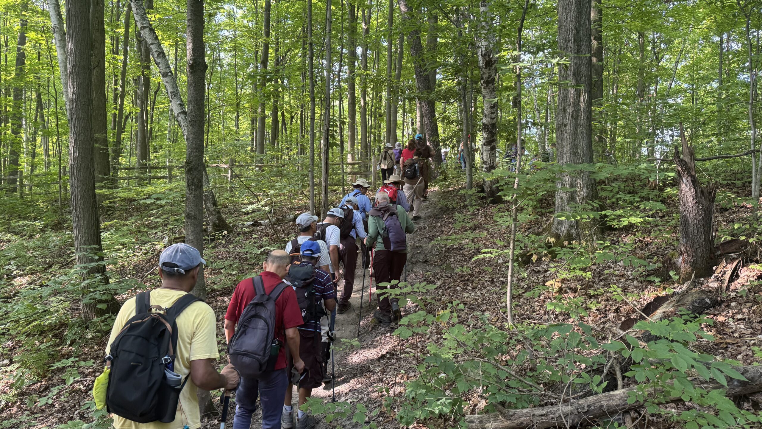
Car Hike: Jefferson Forest and Bond Lake (Richmond Hill)
https://hikes.brucetrail.org/event/car-hike-jefferson-forest-and-bond-lake-richmond-hill-3/Sorry, the registration cut-off time for this hike has been reached.Not a member? Click here to join today!Hosting Club: Toronto
Category: Car Hike
Location (Google Maps):1245 Bethesda Side Rd, Richmond Hill, ON L4E 1A2 ( Bethesda Trail Head Parking lot)
Hike Leader(s): Amir Alemohammad Click here to contact Hike Leader(s)
Pace: Moderate (3-4 km/hr)
Terrain: Flat, Hilly, Level 2 (Intermediate – some hills and uneven surfaces, rocks and roots underfoot), Variable
Distance: 13-14 kmDescription
Join us for a wonderful hike in Jefferson Forest and have a snack/lunch beside the Bond Lake. We will hike among tall trees and bushes of the Jefferson Forest and across the Bayview-Yonge corridor to reach to the Bond Lake. Boots mandatory, poles recommended, bring at least 2L of water, bug spray, sunscreen, snack/lunch and dress according to the weather conditions. Please avoid parking along the road. Difficulty Level: 2 (Moderate)Please arrive @7:45 AM for start of 8:00AM.
This is a joint hike with the Oak Ridges Trail Association (ORTA).

Car Hike: Duncan Crevices Caves Provincial Nature Reserve
https://hikes.brucetrail.org/event/car-hike-duncan-crevices-caves-provincial-nature-reserve/Sorry, the registration cut-off time for this hike has been reached.Not a member? Click here to join today!Hosting Club: Toronto, Beaver Valley
Category: Car Hike
Location (Google Maps): Duncan Crevices Caves Provincial Nature Reserve. Meet at the edge of 9th Sideroad, east of The Blue Mountain-Euphrasia Townline. KM 33.3 Map 25, Edition 31. GPS N423216, W80.469565Hike Leader(s): Ross Estrella Click here to contact Hike Leader(s)
Pace: Moderate (3-4 km/hr)
Terrain: Hilly, Level 2 (Intermediate – some hills and uneven surfaces, rocks and roots underfoot), Rocky
Distance: 11kmDescription
At a moderate pace we’ll hike Duncan Crevices Caves Provincial Nature Reserve and Chuck & Pat Grant Side Trail. We’ll have plenty of opportunity for photo shoot along the amazing beauty of the landscape passing thru Metcalf and Pinnacle Rocks. Please equip yourself with durable hiking shoe/boot and hiking poles if using it. Carry sufficient amount of liquid for hydration, snacks/lunch. Bring sunscreen, sun hat protection and bug repellent as our friendly mosquitos may welcome us.Please arrive fifteen minutes early at meet location at Km 33.3 on the edge of 9th Sideroad slightly east of Blue Mountain-Euphrasia Townline. GPS Coordinates: N44.423216, W80.469565 Map 25, Edition 31.
- 18August 18, 2025
Toronto End-to-End #4 of 4
https://hikes.brucetrail.org/event/toronto-end-to-end-4-of-4/Sorry, the registration cut-off time for this hike has been reached.Not a member? Click here to join today!Hosting Club: Iroquoia, Toronto
Category: General Hike
Location (Google Maps): Roadside parking at Boston Mills Road, just west of Mississauga Road intersection.Hike Leader(s): Pati Greenwood, Jeff Dowsett Click here to contact Hike Leader(s)
Pace: Brisk – 4 to 5 km/hr, Medium – 3 to 4 km/hr
Terrain: Moderate – Some hills and/or some poor footing, Strenuous – Hilly with steep climbs and some poor footing
Distance: 14 kmDescription
This is a summer-time End-to-End hike to complete the Toronto section of the Bruce Trail in 4 hikes. Join for all or as many hikes as desired.This fourth and final hike of the series will take us from the Siver Creek Trail Head to the end of the Toronto Section on Mississauga Road. As with previous hikes in this series, the terrain will vary, there will be some hilly sections and sections with uneven, rocky terrain, making footing tricky to navigate.
July weather can be hot, muggy and buggy! So, dress for the weather, keeping in mind that insects, including ticks, will be out in full force. Take appropriate precautions to avoid insect bites, including using repellant and clothing that covers the legs and arms. Hiking boots are required and hiking poles are recommended.
Bring plenty of fluids, including electrolytes, and a snack.
Since this is a group hike, please consider your fitness level before registering. We will be walking at a pace of 3km – 4km per hour and everyone is expected to keep up with the person in front of them for the duration of the hike.
Plan to arrive at the meeting place by 8:15 a.m. as we will start the car shuffle to the hike starting point at 8:30 a.m. sharp. Further details will be provided to registered hikers a few days prior to the hike.
Car Hike: Peninsula E2E 5/8
https://hikes.brucetrail.org/event/car-hike-peninsula-e2e-5-8/Sorry, the registration cut-off time for this hike has been reached.Not a member? Click here to join today!Hike open to BTC Members only.
Hosting Club: Toronto
Category: Car Hike
Location (Google Maps): Forty Hills Parking -Richardson Side Trail. Access from Forty Hills Rd. Coordinates N 45.020460,W 81.283790 map 39Hike Leader(s): Smadar Junkin Click here to contact Hike Leader(s)
Pace: Brisk (4-5 km/hr)
Terrain: Challenging, Level 3 (Advanced – steep hills and some scrambling over boulders), Variable
Distance: 18.6 kmsDescription
5th hike of the Peninsula E2E series. Please refer to hike number one on August 11 for details. Please arrive at least 15 minutes prior to the start time so that we can leave at 9:00. We will car shuttle to km 106.0 and hike back. - 19August 19, 2025
Car Hike: Peninsula E2E 6/8
https://hikes.brucetrail.org/event/car-hike-peninsula-e2e-6-8/Sorry, the registration cut-off time for this hike has been reached.Not a member? Click here to join today!Hike open to BTC Members only.
Hosting Club: Toronto
Category: Car Hike
Location (Google Maps): Lindsay Rd 40. Km 117.8 coordinates N 45.192206,W 81.343243 map 40.Hike Leader(s): Smadar ,Junkin Click here to contact Hike Leader(s)
Pace: Brisk (4-5 km/hr)
Terrain: Challenging, Level 3 (Advanced – steep hills and some scrambling over boulders), Variable
Distance: 10.8 kmDescription
Sixth hike of the Peninsula E2E series. 10.8 kms. Please note that this hike is short, I may look at changing this hike distance if other parking options will be available. Please refer to hike #1 on August 11 for details. We will car shuttle to km 106.0 and hike back.Urban Walk: Valley View Park Thornhill
https://hikes.brucetrail.org/event/urban-walk-valley-view-park-thornhill-94/Sorry, the registration cut-off time for this hike has been reached.Not a member? Click here to join today!Hosting Club: Toronto
Location (Google Maps): Parking lot is off Sycamore Drive East of Bayview , across Starbucks plaza
Bus 91 from Finch east station stops at Sycamore station.Hike Leader(s): Mohammad Aghamiri Click here to contact Hike Leader(s)
Pace: Moderate (3-4 km/hr)
Terrain: Hilly, Level 2 (Intermediate – some hills and uneven surfaces, rocks and roots underfoot), Variable
Distance: 6-7 kmDescription
We will explore Valleyview and Maple View parks, and walk along German Mill Creak, in return we stop in Huntington park and have snack under beautiful shed ,Even it is considered Urban walk, it is urban hike as we have some up and down hills and tree roots, please bring your hiking poles, water and snacks,
phone number for the day of hike 289 588 6482
- 20August 20, 2025
Car Hike: Peninsula E2E 7/8
https://hikes.brucetrail.org/event/car-hike-peninsula-e2e-7-8/Sorry, the registration cut-off time for this hike has been reached.Not a member? Click here to join today!Hike open to BTC Members only.
Hosting Club: Toronto
Category: Car Hike
Location (Google Maps): Same as day 6.Hike Leader(s): Smadar Junkin Click here to contact Hike Leader(s)
Pace: Brisk (4-5 km/hr)
Terrain: Challenging, Level 3 (Advanced – steep hills and some scrambling over boulders), Variable
Distance: 21.7 + 930 meters side trail.Description
7th hike of the Peninsula E2E series. Please note that the hike meeting time is 7:30. We need to get to Half Way Dump early to get parking spots. Please bring your BTC membership card to display on your car dashboard. Bruce Trail parking is limited. We need to pay for parking per car/ per person. We will car shuttle to km 139.5 and walk back. - 21August 21, 2025
Car Hike: Peninsula E2E 8/8
https://hikes.brucetrail.org/event/car-hike-peninsula-e2e-8-8/Sorry, the registration cut-off time for this hike has been reached.Not a member? Click here to join today!Hike open to BTC Members only.
Hosting Club: Toronto
Category: Car Hike
Location (Google Maps): Torbermory, ON. Hikers will be told about the exact location to avoid parking payment before the hike. Map 42.Hike Leader(s): Smadar Junkin Click here to contact Hike Leader(s)
Pace: Brisk (4-5 km/hr)
Terrain: Challenging, Level 3 (Advanced – steep hills and some scrambling over boulders), Variable
Distance: 22.3 kms + 930 meters STDescription
Last day of Peninsula E2E, badge day. Treats day. We will finish this series at the Northern Terminus Cairn. We will car shuttle to Half Way Dump and hike back. Please make sure to be in Tobermory at 7:15 so we can secure parking spots at Half Way Dump. Please refer to hike # 1 on August 11 for details.Urban Walk: Valley View Park Thornhill 120
https://hikes.brucetrail.org/event/urban-walk-valley-view-park-thornhill-95/Sorry, the registration cut-off time for this hike has been reached.Not a member? Click here to join today!Hosting Club: Toronto
Location (Google Maps): Parking lot is off Sycamore Drive East of Bayview , across Starbucks plaza
Bus 91 from Finch east station stops at Sycamore station.Hike Leader(s): Mohammad Aghamiri Click here to contact Hike Leader(s)
Pace: Moderate (3-4 km/hr)
Terrain: Hilly, Level 2 (Intermediate – some hills and uneven surfaces, rocks and roots underfoot), Variable
Distance: 6-7 kmDescription
We will explore Valleyview and Maple View parks, and walk along German Mill Creak, in return we stop in Huntington park and have snack under beautiful shed ,Even it is considered Urban walk, it is urban hike as we have some up and down hills and tree roots, please bring your hiking poles, water and snacks,
phone number for the day of hike 289 588 6482
- 22August 22, 2025No events
- 23August 23, 2025

School Bus Hike: Rama Powwow and the Ganaraska Trail
https://hikes.brucetrail.org/event/school-bus-hike-rama-powwow-and-the-ganaraska-trail/Sorry, the registration cut-off time for this hike has been reached.Not a member? Click here to join today!Trip Information
Departure Time: 08:00
Return to City Time: 19:00
Departure Point: York Mills Bus PickupOptional Items
Pick-Up Hwy 400 & Major Mackenzie Car Pool Lot ($.01)Hosting Club: Toronto
Category: Bus Hike
Location (Google Maps): OrilliaHike Leader(s): Nijole Mockevicius, George Lennon Click here to contact Hike Leader(s)
Pace: Leisurely (2-3 km/hr)
Terrain: Level 1 (Easy – mostly on flat, well maintained trails with hard-packed surface)
Distance: 8.5 kmDescription
Rama PowWow is one of the biggest and best in Ontario. We have planned this hike to take in the Grand Entry at 1 pm when all the contestants will be dressed and dancing in their finest. Our morning hike takes place in the Scout Valley Park along part of the Ganaraska Trail. We will provide a shorter hike of 3 km for naturalists and photographers to observe the flowers and vegetation and birdlife in its woodlands of pine and hardwood with scattered wetlands. There is an option as well for a longer hike of 5.5 km. After a short noon-hour bus ride to the nearby Rama Reserve, we will have a couple of hours to watch the festivities and shop in the market stalls. We will then return to Orillia to begin our hiking again at the site of the remains of 5000-year-old Mnjikaning fish weirs. A late-afternoon 3 km hike along the Ganaraska Trail will take us past the Gordon Lightfoot sculpture park to a stop for ice cream before we head back to Toronto.Bus departs 10 York Mills Rd at 8:00 AM and Major Mackenzie Dr and HWY 400 Park and Ride at 8:20 AM. If you wish to be picked up at the Major Mackenzie Dr and HWY 400 Park and Ride, type ‘yes’ in the additional information field. Please arrive 15 minutes before departure. The bus waits for no one.
Admission to the pow-wow is $10 each, but it is free for those who are 60 or older and for those who are veterans. Payment will be collected on the bus (exact change please)
Car Hike: Boyd Conservation Park Vaughan
https://hikes.brucetrail.org/event/car-hike-boyd-conservation-park-vaughan-9/Sorry, the registration cut-off time for this hike has been reached.Not a member? Click here to join today!Hosting Club: Toronto
Location (Google Maps): Free parking lot before main entrance of park
Hike Leader(s): Mohammad Aghamiri Click here to contact Hike Leader(s)
Pace: Moderate (3-4 km/hr)
Terrain: Hilly, Level 2 (Intermediate – some hills and uneven surfaces, rocks and roots underfoot)
Distance: 14-15 kmDescription
Let’s hike Boyd conservation park trails through beautiful valleys.Please bring lots of water and snacks ,hiking poles are recommended
phone number for the day of hike 289 588 6482
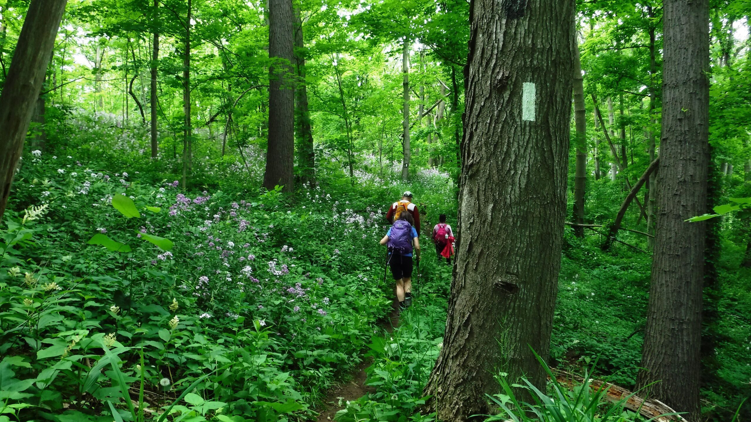
#2/5 Niagara Bruce Trail End-to-End - 16 KM
https://hikes.brucetrail.org/event/2-5-niagara-bruce-trail-end-to-end-16-km/Sorry, the registration cut-off time for this hike has been reached.Not a member? Click here to join today!Hosting Club: Toronto
Category: Car Hike
Location (Google Maps): Parking lot at Glendale Ave & Welland CanalHike Leader(s): Alina Lin
Pace: Brisk (4-5 km/hr)
Terrain: Challenging, Hilly, Level 2 (Intermediate – some hills and uneven surfaces, rocks and roots underfoot), Rocky, Variable
Distance: 16 kmDescription
The Niagara region is one of Canada’s most productive fruit-growing areas. Strolling along country roads lined with farms and orchards, you’ll see ripe peaches, plums, and grapes hanging from the trees and smell the sweet fragrance of the harvest in the air—you’ll truly understand why it’s called a Fruit Paradise. To make the most of the short harvest season, let’s hike the Niagara section of the Bruce Trail and if you are interested, visit local farms afterward—perhaps even enjoy some fruit picking!This is the second of a five-hike End-to-End series covering the entire Niagara section of the Bruce Trail. The full section stretches over 80 kilometers from Niagara-on-the-Lake to Grimsby. I am using Map Edition 29, so please note that kilometer markings may not be fully up to date, and actual hiking distances may vary slightly.
Meeting Point:
Roadside parking lot at KM 18.2
GPS: 43.145572, -79.191214
(Off-road parking available on the north side of Glendale Ave, approximately 50 m east of the Welland Canal). Please arrive before 9:15am to give yourself time to coordinate the car shuttle.We will car shuttle to the starting point of the hike at KM 33.5
GPS: 43.109881, -79.264384.
Parking area off Decew Rd.The group will then hike from KM33.5 back to KM 18.2.
All drivers are expected to participate in the car shuttle, either before or after the hike.Important Notes:
- Wear sturdy hiking boots and dress appropriately for the weather
- Bring bug spray (mosquitoes may be present)
- Bring snacks, lunch, and at least 1.5L of water
- No dropouts available.
- No pets .
Urban Walk: Evergreen Brickworks/Mt. Pleasant Cemetery
https://hikes.brucetrail.org/event/urban-walk-evergreen-brickworks-mt-pleasant-cemetery/Sorry, the registration cut-off time for this hike has been reached.Not a member? Click here to join today!Hosting Club: Toronto
Category: Urban Walk
Location (Google Maps): St. Clair subway station SOUTH Ticket collector booth at Pleasant Blvd.Hike Leader(s): Ray Berzins Click here to contact Hike Leader(s)
Pace: Moderate (3-4 km/hr)
Terrain: Hilly, Level 2 (Intermediate – some hills and uneven surfaces, rocks and roots underfoot)
Distance: 8 kmDescription
Hike starts & ends at St. Clair Subway station in Toronto. We will go downhill via Park Road Reservation Trail (Vale of Avoca) to Evergreen Brick Works (550 Bayview Ave). (Brick Works has TTC to either Davisville or Broadview subway stations.) We will return going uphill via Kay Gardner Beltline Trail through Mount Pleasant Cemetery.After hike at St. Clair & Yonge St. are Popeye’s, Tim Hortons, Pizza Pizza, Loblaws cafeteria, Swiss Chalet and other restaurants.
There will NOT be a lunch stop, but bring lots of water and snacks or energy bars. Hat, sunglasses and sunscreen are recommended.
Please check your emails by 8AM (two hours before hike) to see if hike has been cancelled due to weather.