
Join us for a hike! Registration required:
All hikes available to BTC members. Some hikes are open to non-members.
TIP: The calendar view displays up to 7 hikes on a day, but often there are more. Click “More events” to see them all.
Toronto Hike Schedule
Toronto Bruce Trail Club Registration Live Dates
Day Winter Coach Program
Registration begins two weeks in advance of the event departure (at 8:00 PM)
Day Bus Hikes
Registration begins two weeks in advance of the event departure (at 8:00 PM) with some exceptions of special event hikes
Day Coach Hikes
Registration begins 7 weeks in advance of the event departure
Day Car Hikes and Urban Hikes
Registration begins two weeks in advance of the event departure
Overnight and Weekend Trips
Registration begins 12 weeks in advance of the event departure
To view all Bruce Trail Conservancy Hikes click here
- 10August 10, 2025
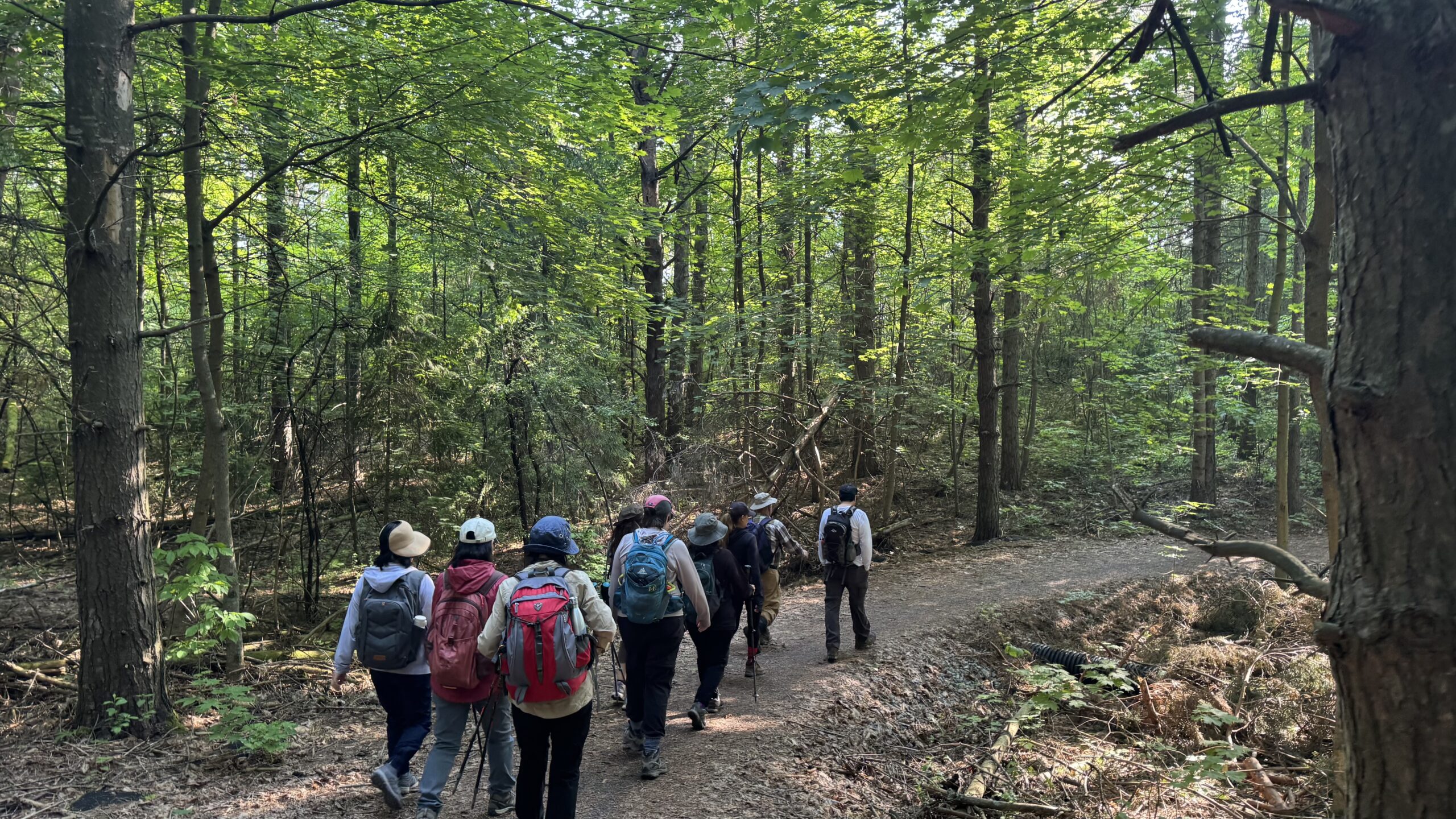
Car Hike: Exploring Uxbridge Trails (Wilder Forest, Walker Woods, and Glen Major Forest)
https://hikes.brucetrail.org/event/car-hike-exploring-uxbridge-trails-wilder-forest-walker-woods-and-glen-major-forest-15/Sorry, the registration cut-off time for this hike has been reached.Not a member? Click here to join today!Hosting Club: Toronto
Category: Car Hike
Location (Google Maps):2499 Brock Rd, Uxbridge, ON L9P 1R4. We will meet at the East Duffins Headwaters parking lot at the WILDER FOREST trail head. As soon as you got off the Brock Road, passing the horse back riding facility, there is a free designated parking lot 70 meters down the lane to your right. It includes a sign board for East Duffins Headwaters with a map of the trails. Please do not park on the lane or in the horse back riding property.
Hike Leader(s): Amir Alemohammad Click here to contact Hike Leader(s)
Pace: Moderate (3-4 km/hr)
Terrain: Flat, Hilly, Level 2 (Intermediate – some hills and uneven surfaces, rocks and roots underfoot), Variable
Distance: Approx.15-16 KmDescription
Join us for a delightful hike in Uxbridge, as we explore Wilder Forest, Walker Woods, and Glen Major Forest on a scenic loop starting from Brock Road. We’ll pass Concession Road 6, heading west and back, while also venturing onto several side trails for even more stunning views.What to Expect:
•Beautiful scenic views and lookouts facing south
•A mix of hilly and flat terrain
•Frequent 2-minute breaks for hydration and photos, with a 10-20 minute lunch/snack stop
•Stay on designated trails at all time
What to Bring and Wear:
•Hiking Boots and poles (recommended) and be prepared for the bugs
•At least 2 liters of water
•Your favorite snacks and lunch (pack your own refreshments for an outdoor meal)
•Dress according to variable weather conditions!
Important Details:
•Stay on the designated trails
•Be prepared for the elements and enjoy the adventure!
Looking forward to seeing you on the trail!
Don’t forget your camera and a smile as we explore the beauty of the Uxbridge trails!
This is a joint hike with the Oak Ridges Trail Association (ORTA).
- 11August 11, 2025
Car Hike: Peninsula E2E 1/8
https://hikes.brucetrail.org/event/car-hike-peninsula-e2e-1-8/Sorry, the registration cut-off time for this hike has been reached.Not a member? Click here to join today!Hike open to BTC Members only.
Hosting Club: Toronto
Category: Car Hike
Location (Google Maps): Km 0.0 Bluewater Park, Wiarton opposite the arena. Coordinates N 44.742514,W 81.135140 map 35.Hike Leader(s): Smadar Junkin Click here to contact Hike Leader(s)
Pace: Brisk (4-5 km/hr)
Terrain: Challenging, Variable
Distance: 24.4 kmsDescription
First of 8 hikes to complete the Peninsula E2E. The Peninsula section is hilly with a lot of rocks. Please be aware of the difficulty of the section and the pace this hike series will be moving. Before registering make sure that you are physically able to do it. Hikers need to register to each hike separately. Bring 2-2.5 litres of water, snacks, lunches, a hat, bug repellent, sun screen.
We will car shuttle to km 24.4 and hike back. All hikers are expected to participate in the car shuttles as many times as needed throughout the 8 days.Please arrive at least 15 minutes prior to the start time so we are ready leave by 9:00.
- 12August 12, 2025
Car Hike: Peninsula E2E 2/8
https://hikes.brucetrail.org/event/car-hike-peninsula-e2e-2-8/Sorry, the registration cut-off time for this hike has been reached.Not a member? Click here to join today!Hike open to BTC Members only.
Hosting Club: Toronto
Category: Car Hike
Location (Google Maps): Hope Bay, km 44.1 coordinates N 44.902930,W 81.155706 map 37.Hike Leader(s): Smadar Junkin Click here to contact Hike Leader(s)
Pace: Brisk (4-5 km/hr)
Terrain: Challenging, Level 3 (Advanced – steep hills and some scrambling over boulders), Variable
Distance: 19.3 kmDescription
Day 2 of the Peninsula E2E. See details on hike #1 August 11. We will shuttle to km 24.4 and hike back. Please arrive at least 15 minutes prior to the start time so that we will be ready to leave by 8:30. There is a beach in Hope Bay. If you would like to swim after the hike, bring a bathing suit.Toronto End-to-End #3 of 4
https://hikes.brucetrail.org/event/toronto-end-to-end-3-of-4/Sorry, the registration cut-off time for this hike has been reached.Not a member? Click here to join today!Hosting Club: Iroquoia, Toronto
Category: General Hike
Location (Google Maps): Silver Creek Education Centre Parking Lot off of Fallingbrook TrailHike Leader(s): Pati Greenwood, Jeff Dowsett Click here to contact Hike Leader(s)
Pace: Medium – 3 to 4 km/hr
Terrain: Moderate – Some hills and/or some poor footing, Strenuous – Hilly with steep climbs and some poor footing
Distance: 14.5 kmDescription
This is a summer-time End-to-End hike to complete the Toronto section of the Bruce Trail in 4 hikes. Join for all or as many hikes as desired.This third hike will take us from Limehouse to the Silver Creek Trail Head. The terrain will vary, there will be some hilly sections and sections with uneven, rocky terrain, making footing tricky to navigate.
July weather can be hot, muggy and buggy! So, dress for the weather, keeping in mind that insects, including ticks, will be out in full force. Take appropriate precautions to avoid insect bites, including using repellant and clothing that covers the legs and arms. Hiking boots are required and hiking poles are recommended.
Bring plenty of fluids, including electrolytes, and a snack.
As this is a group hike, please consider your fitness level before registering. We will be walking at a pace of 3km – 4km per hour and everyone is expected to keep up with the person in front of them for the duration of the hike.
Plan to arrive at the meeting place by 8:15 a.m. as we will start the car shuffle to the hike starting point at 8:30 a.m. sharp. Further details will be provided to registered hikers a few days prior to the hike.
Urban Walk: Valley View Park Thornhill
https://hikes.brucetrail.org/event/urban-walk-valley-view-park-thornhill-92/Sorry, the registration cut-off time for this hike has been reached.Not a member? Click here to join today!Hosting Club: Toronto
Location (Google Maps): Parking lot is off Sycamore Drive East of Bayview , across Starbucks plaza
Bus 91 from Finch east station stops at Sycamore station.Hike Leader(s): Mohammad Aghamiri Click here to contact Hike Leader(s)
Pace: Moderate (3-4 km/hr)
Terrain: Hilly, Level 2 (Intermediate – some hills and uneven surfaces, rocks and roots underfoot), Variable
Distance: 6-7 kmDescription
We will explore Valleyview and Maple View parks, and walk along German Mill Creak, in return we stop in Huntington park and have snack under beautiful shed ,Even it is considered Urban walk, it is urban hike as we have some up and down hills and tree roots, please bring your hiking poles, water and snacks,
phone number for the day of hike 289 588 6482
- 13August 13, 2025
Car Hike: Peninsula E2E 3/8
https://hikes.brucetrail.org/event/car-hike-peninsula-e2e-3-8/Sorry, the registration cut-off time for this hike has been reached.Not a member? Click here to join today!Hike open to BTC Members only.
Hosting Club: Toronto
Category: Car Hike
Location (Google Maps): Hope bay, same as day 2Hike Leader(s): Smadar Junkin Click here to contact Hike Leader(s)
Pace: Brisk (4-5 km/hr)
Terrain: Challenging, Level 3 (Advanced – steep hills and some scrambling over boulders), Variable
Distance: 23.8 kmDescription
Third day of the Peninsula E2E. Please look at day 1 August 11 for details. We will car shuttle to km 67.9 and hike back. Please be at the meeting point at least 15 minutes prior to the start time so that we are in the cars and ready to leave by 8:30. If you wish to swim after the hike you can bring a bathing suit. There is a beach in Hope Bay. - 14August 14, 2025
Car Hike: Peninsula E2E 4/8
https://hikes.brucetrail.org/event/car-hike-peninsula-e2e-4-8/Sorry, the registration cut-off time for this hike has been reached.Not a member? Click here to join today!Hike open to BTC Members only.
Hosting Club: Toronto
Category: Car Hike
Location (Google Maps): Barrow Bay km 67.9 Rd 9just south of West Shore Rd. Coordinates N 44.958825,W 81.266168 map 38.Hike Leader(s): Smadar Junkin Click here to contact Hike Leader(s)
Terrain: Challenging, Level 3 (Advanced – steep hills and some scrambling over boulders), Variable
Distance: 19.3 kms.Description
Fourth hike of the Peninsula E2E series. Please see details on hike 1, August 11. We will shuttle to km 87.4 and hike back. Please arrive at least 15 minutes prior to the start time so that we can leave by 8:30.Urban Walk: Valley View Park Thornhill
https://hikes.brucetrail.org/event/urban-walk-valley-view-park-thornhill-93/Sorry, the registration cut-off time for this hike has been reached.Not a member? Click here to join today!Hosting Club: Toronto
Location (Google Maps): Parking lot is off Sycamore Drive East of Bayview , across Starbucks plaza
Bus 91 from Finch east station stops at Sycamore station.Hike Leader(s): Mohammad Aghamiri Click here to contact Hike Leader(s)
Pace: Moderate (3-4 km/hr)
Terrain: Hilly, Level 2 (Intermediate – some hills and uneven surfaces, rocks and roots underfoot), Variable
Distance: 6-7 kmDescription
We will explore Valleyview and Maple View parks, and walk along German Mill Creak, in return we stop in Huntington park and have snack under beautiful shed ,Even it is considered Urban walk, it is urban hike as we have some up and down hills and tree roots, please bring your hiking poles, water and snacks,
phone number for the day of hike 289 588 6482
Car Hike: Toronto Section - Hilton Falls to Pear Tree Park
https://hikes.brucetrail.org/event/car-hike-toronto-section-hilton-falls-to-pear-tree-park/Sorry, the registration cut-off time for this hike has been reached.Not a member? Click here to join today!Hosting Club: Toronto
Category: Car Hike
Location (Google Maps):Bruce Trail Pear Tree Park – 15th Sideroad, 200m southwest of Regional Rd 25 (11.4k marker, Edition 31)
Hike Leader(s): David Rowney Click here to contact Hike Leader(s)
Pace: Moderate (3-4 km/hr)
Terrain: Hilly, Level 2 (Intermediate – some hills and uneven surfaces, rocks and roots underfoot), Rocky, Variable
Distance: 11.9kDescription
This is a make-up hike for the 4 of 4 End to End group series of the Toronto Section (July 17 date was cancelled due to thunderstorms), however, anyone may register for this hike. Our route will take us from the start of the Toronto Section just south of Hilton Falls Conservation area to the Bruce Trail Pear Tree Park. The terrain is not too hilly, but the footing is tricky with many uneven, rocky sections to navigate.Dress for the weather, keeping in mind that insects, including ticks, will be out in full force. Take appropriate precautions to avoid insect bites, including using repellant and clothing that covers the legs and arms. Hiking shoes/boots are required and hiking poles are recommended.
Bring plenty of fluids, including electrolytes, and a snack/lunch.
As this is a group hike, please consider your fitness level before registering. We will be walking at a pace of 3km – 4km per hour and everyone is expected to keep up with the person in front of them for the duration of the hike.
Plan to arrive at the meeting place by 9:15 a.m. as we will start the car shuffle to the hike starting point at 9:30 a.m. sharp. Further details will be provided to registered hikers a few days prior to the hike.

Zoom Webinar: Bruce Trail End-to-End (in Chinese)
https://hikes.brucetrail.org/event/zoom-webinar-bruce-trail-end-to-end-in-chinese/Sorry, the registration cut-off time for this hike has been reached.Not a member? Click here to join today!Hosting Club: Toronto
Category: TBTC Special Events
Location (Google Maps): OnlineHike Leader(s): Alina Lin
Distance: 0
Description
To attract and encourage people from Chinese community to explore the entire Bruce Trail, I am hosting this Zoom webinar in Chinese language.The webinar will cover topics
- Bruce Trail in general;
- 9 sections and End-to-End;
- ways to challenge End-to-End.
Zoom link:
https://us02web.zoom.us/j/84713784973?pwd=ve8vcqD8hAQ19naBaOu4R1igalzC38.1
- 15August 15, 2025No events
- 16August 16, 2025
School Bus Hike: Niagara Glen/Queenston Heights
https://hikes.brucetrail.org/event/school-bus-hike-niagara-glen-queenston-heights/Sorry, the registration cut-off time for this hike has been reached.Not a member? Click here to join today!Trip Information
Departure Time: 08:30
Return to City Time: 18:30
Departure Point: Kipling Departure PointOptional Items
Hosting Club: Toronto
Category: Bus Hike
Location (Google Maps): Niagara Glen Trails, Queenston Heights Park/General Brock Side Trail, Niagara On The LakeHike Leader(s): Tom Swales, Marijo Roy Click here to contact Hike Leader(s)
Pace: Moderate (3-4 km/hr)
Terrain: Hilly, Level 2 (Intermediate – some hills and uneven surfaces, rocks and roots underfoot), Rocky, Variable
Distance: 10 kmDescription
Join us to visit Niagara Glen (https://www.niagaraparks.com/visit/attractions/niagara-glen), Queenston Heights, and Niagara-on-the-Lake (https://www.niagaraonthelake.com/).There will be 4-5 km of trails at Niagara Glen (excluding the rocky Whirlpool Trail). The terrain is Moderate (Difficulty Level 2) trails suitable for most hikers with basic trail experience and with infrequent obstacles and gently rolling areas with some short, steep sections. A loop will bring us through the Devil’s Arch. There are steep staircases going down into the gorge and coming back up.
After Niagara Glen the bus will take us to Queenston Heights Park where there is a beautiful view over the Niagara River towards Lake Ontario and where we will hike part of the General Brock Side Trail.
Finally we head to the town of Niagara On The Lake where you will have free time to spend as you wish (refreshments, shopping, etc) in the historic town before heading back to Toronto.
The pro-rated parking fee of $1.35 for bus parking at Niagara On The Lake will be added to the bus fare when registering.
Car Hike: Rouge National park Scarborough 200
https://hikes.brucetrail.org/event/car-hike-rouge-national-park-scarborough-7/Sorry, the registration cut-off time for this hike has been reached.Not a member? Click here to join today!Hosting Club: Toronto
Location (Google Maps): Free parking in mast trail parking Lot off Kingston Road
Hike Leader(s): Mohammad Aghamiri Click here to contact Hike Leader(s)
Pace: Moderate (3-4 km/hr)
Terrain: Hilly, Level 2 (Intermediate – some hills and uneven surfaces, rocks and roots underfoot), Variable
Distance: 14-15 kmDescription
We will hike Vista trail and part of orchard trail, will enjoy look outs between Rouge river and Little Rouge creek
• Please dress appropriately for the weather.
• We will have short water ,picture and a 15 minute snack break. Everyone is welcome!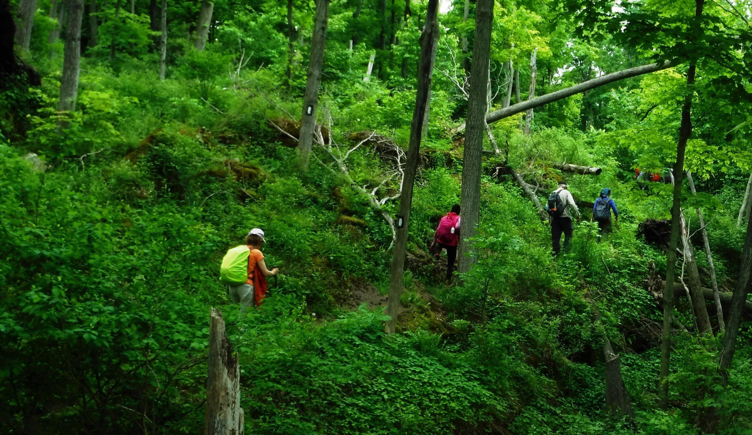
#1/5 Niagara Bruce Trail End-to-End - 19 KM
https://hikes.brucetrail.org/event/1-5-niagara-bruce-trail-end-to-end-19-km/Sorry, the registration cut-off time for this hike has been reached.Not a member? Click here to join today!Hosting Club: Toronto
Category: Car Hike
Location (Google Maps): Queenston Heights ParkHike Leader(s): Alina Lin
Pace: Brisk (4-5 km/hr)
Terrain: Challenging, Hilly, Level 2 (Intermediate – some hills and uneven surfaces, rocks and roots underfoot), Rocky
Distance: 19 kmDescription
The Niagara region is one of Canada’s most productive fruit-growing areas. Strolling along country roads lined with farms and orchards, you’ll see ripe peaches, plums, and grapes hanging from the trees and smell the sweet fragrance of the harvest in the air—you’ll truly understand why it’s called a Fruit Paradise. To make the most of the short harvest season, let’s hike the Niagara section of the Bruce Trail and if you are interested, visit local farms afterward—perhaps even enjoy some fruit picking!This is the first of a five-hike End-to-End series covering the entire Niagara section of the Bruce Trail. The full section stretches over 80 kilometers from Niagara-on-the-Lake to Grimsby. I am using Map Edition 29, so please note that kilometer markings may not be fully up to date, and actual hiking distances may vary slightly.
Meeting Point:
Bruce Trail Southern Terminus Cairn at KM 0.0
GPS: 43.157826, -79.052045
Please note: Parking fees apply (charged by the park). Please arrive before 9:15am to give yourself time to coordinate the car shuttle.We will car shuttle to the starting point of the hike at KM 18.2
GPS: 43.145572, -79.191214
(Off-road parking available on the north side of Glendale Ave, approximately 50 m east of the Welland Canal).The group will then hike from KM 18.2 back to KM 0.0.
All drivers are expected to participate in the car shuttle, either before or after the hike.Important Notes:
- Wear sturdy hiking boots and dress appropriately for the weather
- Bring bug spray (mosquitoes may be present)
- Bring snacks, lunch, and at least 1.5L of water
- No dropouts available.
- No pets allowed