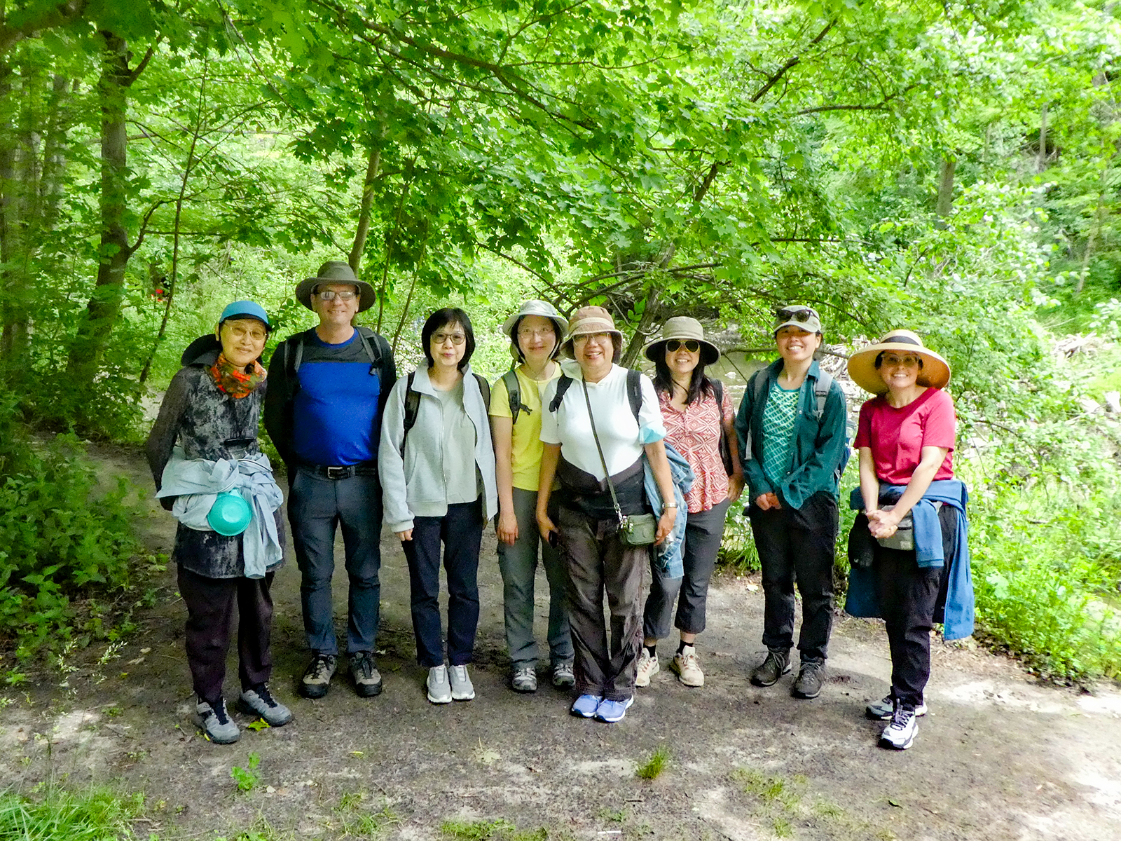
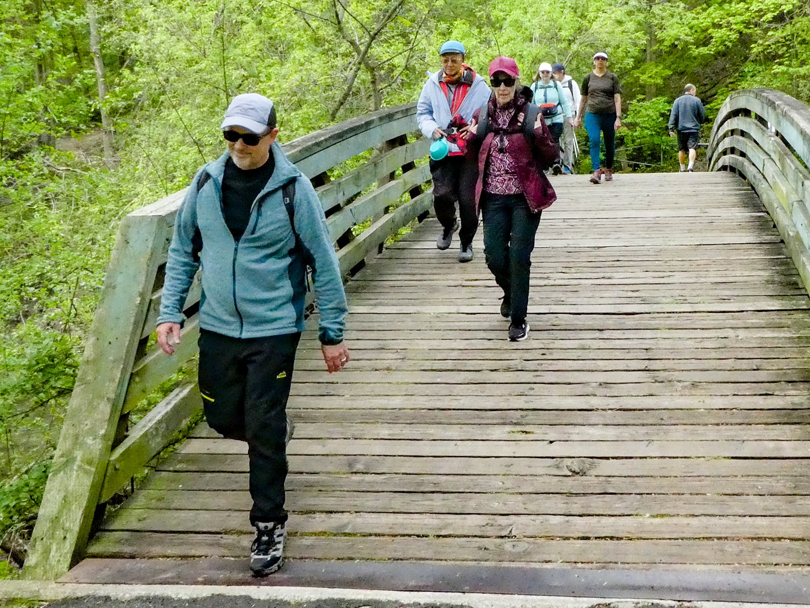
Join us for a hike! Registration required:
All hikes available to BTC members. Some hikes are open to non-members.
TIP: The calendar view displays up to 7 hikes on a day, but often there are more. Click “More events” to see them all.
Toronto Hike Schedule
Toronto Bruce Trail Club Registration Live Dates
Day Winter Coach Program
Registration begins two weeks in advance of the event departure (at 8:00 PM)
Day Bus Hikes
Registration begins two weeks in advance of the event departure (at 8:00 PM) with some exceptions of special event hikes
Day Coach Hikes
Registration begins 7 weeks in advance of the event departure
Day Car Hikes and Urban Hikes
Registration begins two weeks in advance of the event departure
Overnight and Weekend Trips
Registration begins 12 weeks in advance of the event departure
To view all Bruce Trail Conservancy Hikes click here
- 15June 15, 2025
Urban Walk: Toronto Urban Badge Hike - 6 of 7
https://hikes.brucetrail.org/event/urban-walk-toronto-urban-badge-hike-6-of-7-2/Sorry, the registration cut-off time for this hike has been reached.Not a member? Click here to join today!Hosting Club: Toronto
Category: Urban Walk
Location (Google Maps): East Don River TrailHike Leader(s): Brian Rideout Click here to contact Hike Leader(s)
Pace: Moderate (3-4 km/hr)
Terrain: Flat
Distance: 9 kmDescription
Please join me at the south east corner of Sheppard Ave East and Leslie by 10 AM. We will hike south through several parks to Don Mills (S of Overleigh) (km 51.7 to km 62.4). Here is an online map with km markings of our route for all 7 hikes for the Toronto Urban Badge: https://onthegomap.com/s/c2c1hf3nPlease make sure you bring at least 2 liters of water, a lunch, bug spray and sunscreen.
Urban Walk: Missisauga Waterfront Trail Long Branch to Port Credit
https://hikes.brucetrail.org/event/urban-walk-missisauga-waterfront-trail-long-branch-to-port-credit/Sorry, the registration cut-off time for this hike has been reached.Not a member? Click here to join today!Hosting Club: Toronto
Category: Urban Walk
Location (Google Maps): Meet inside Long Branch GO Station by the ticket agent at 11:15 or if traveling by GO Train from Union Station meet in the Great Hall by the information desk with the clock over it to depart at 10:35 to catch the Lakeshore West train departing at 10:47. Train schedules can vary depending on construction projects so please register to be advised if any changes.Hike Leader(s): Tom Swales Click here to contact Hike Leader(s)
Pace: Moderate (3-4 km/hr)
Terrain: Flat
Distance: 11 kmDescription
Join us for a hike along Mississauga’s Waterfront Trail to the village of Port Credit. We’ll have our lunch stop at the marina of the lovely Waterfront Promenade Park and explore the two headlands. Optional pub or cafe stop after the hike. Return to Toronto by the GO Train or Miway Bus to Long Branch. - 16June 16, 2025No events
- 17June 17, 2025
Urban Walk: Valley View Park Thornhill
https://hikes.brucetrail.org/event/urban-walk-valley-view-park-thornhill-79/Sorry, the registration cut-off time for this hike has been reached.Not a member? Click here to join today!Hosting Club: Toronto
Location (Google Maps): Parking lot is inside Sycamore Drive East of Bayview , across Starbucks plaza
Hike Leader(s): Mohammad Aghamiri Click here to contact Hike Leader(s)
Pace: Moderate (3-4 km/hr)
Terrain: Hilly, Level 2 (Intermediate – some hills and uneven surfaces, rocks and roots underfoot)Description
We will explore Valleyview and Maple View parks, and walk along German Mill Creak, in return we stop in Huntington park and have snack under beautiful shed ,Even it is considered Urban walk, it is urban hike as we have some up and down hills and tree roots, please bring your hiking poles, water and snacks,
- 18June 18, 2025No events
- 19June 19, 2025
Urban Walk: Valley View Park Thornhill
https://hikes.brucetrail.org/event/urban-walk-valley-view-park-thornhill-85/Sorry, the registration cut-off time for this hike has been reached.Not a member? Click here to join today!Hosting Club: Toronto
Category: Urban Walk
Location (Google Maps): Parking lot is inside Sycamore Drive East of Bayview , across Starbucks plazaHike Leader(s): Mohammad Aghamiri Click here to contact Hike Leader(s)
Pace: Moderate (3-4 km/hr)
Terrain: Hilly, Level 2 (Intermediate – some hills and uneven surfaces, rocks and roots underfoot)
Distance: 6-8 kmDescription
We will explore Valleyview and Maple View parks, and walk along German Mill Creak, in return we stop in Huntington park and have snack under beautiful shed ,Even it is considered Urban walk, it is urban hike as we have some up and down hills and tree roots, please bring your hiking poles, water and snacks,
phone number for the day of hike 289 588 6482

Toronto Islands Evening Walk ** CANCELLED **
https://hikes.brucetrail.org/event/urban-walk-toronto-islands-evening-walk-17/Sorry, the registration cut-off time for this hike has been reached.Not a member? Click here to join today!Hosting Club: Toronto
Location (Google Maps):
Jack Layton Ferry Terminal, near the gates to Wards Island Ferry. Arrive 20 minutes prior to departure to check in with hike leader.
From Union Station take the LRT and get off at the stop Ferry Docks.Walk up to the Ferry Docks on Queens Quay West, street level. at the foot of Bay Street.
Hike Leader(s): Miriam Stevens Click here to contact Hike Leader(s)
Pace: Leisurely (2-3 km/hr)
Terrain: Flat
Distance: 6-9 kmDescription
** This evening’s Toronto Island walk is canceled due to high probability of precipitation **After a day’s work come and “cool off” on the Toronto Islands free of fumes and traffic. Enjoy the view of the city skyline and Toronto’s beautiful island parkland.
Pack a dinner for a sit down picnic. Also bring a warm jacket and flashlight.
Return fare ticket for the ferry is $9.11 for adults, $5.86 for seniors
Hikes will take place rain or shine. If the weather is particularly inclement the day of the hike please check the hike schedule by 10:00 AM for an update.
Toronto Island evening hikes will take place every Thursday in May and June 2025.
Same time and same meeting place. No preregistration is required – just show up at the ferry docks at 5:40 PM and sign in with the hike leader. - 20June 20, 2025No events
- 21June 21, 2025

Awenda Provincial Park and Saint-Marie among the Hurons
https://hikes.brucetrail.org/event/awenda-provincial-park-and-saint-marie-among-the-hurons/Sorry, the registration cut-off time for this hike has been reached.Not a member? Click here to join today!Trip Information
Departure Time: 08:00
Return to City Time: 18:30
Departure Point: York Mills Bus PickupOptional Items
Admission to Saint-Marie among the Hurons ($12.00)Hosting Club: Toronto
Category: Bus Hike
Location (Google Maps): Awenda Provincial ParkHike Leader(s): Robin Crombie, George Lennon Click here to contact Hike Leader(s)
Pace: Moderate (3-4 km/hr)
Terrain: Level 2 (Intermediate – some hills and uneven surfaces, rocks and roots underfoot)
Distance: 10-12 kmDescription
June 21st is National Indigenous Peoples’ Day and the summer solstice, the longest day of the year.Join us to celebrate both on this trip to beautiful Awenda Provincial Park, on the shores of Georgian Bay, where we’ll enjoy a lovely circular route, the Bluff Trail, and make a detour down the staircase to the beach for lunch. Afterwards, we’ll make the short drive to Saint-Marie among the Hurons, an historic site and Huronia education centre. Hikers are welcome to take a self-guided tour and also take advantage of special National Indigenous Peoples’ Day programming: Legends of Lacrosse. See the website for more information on timed presentations and skills sessions. https://saintemarieamongthehurons.on.ca/
In advance of our visit, Saint-Marie is also offering a full day of free online Indigenous-led learning on Friday, June 20. Register early and log in on June 20 to view videos live or on demand through until June 30.
Admission to Saint-Marie is a flat $12 each. Payment will be collected on the bus (exact change please) or if you’d like to save time, you can purchase your ticket online.
Car Hike: Boyd Conservation Park Vaughan
https://hikes.brucetrail.org/event/car-hike-boyd-conservation-park-vaughan-7/Sorry, the registration cut-off time for this hike has been reached.Not a member? Click here to join today!Hosting Club: Toronto
Category: Car Hike
Location (Google Maps): Free parking lot before main entrance of parkHike Leader(s): Mohammad Aghamiri Click here to contact Hike Leader(s)
Pace: Moderate (3-4 km/hr)
Terrain: Hilly, Level 2 (Intermediate – some hills and uneven surfaces, rocks and roots underfoot)
Distance: 12-14 kmDescription
Let’s hike Boyd conservation park trails through beautiful valleys.Please bring lots of water and snacks ,hiking poles are recommended
phone number for the day of hike 289 588 6482

Urban Walk: Black Creek Trail
https://hikes.brucetrail.org/event/urban-walk-black-creek-trail/Sorry, the registration cut-off time for this hike has been reached.Not a member? Click here to join today!Hosting Club: Toronto
Category: Urban Walk
Location (Google Maps): CanadaHike Leader(s): Brian Rideout Click here to contact Hike Leader(s)
Pace: Moderate (3-4 km/hr)
Terrain: Flat, Level 2 (Intermediate – some hills and uneven surfaces, rocks and roots underfoot)
Distance: 10.2 kmDescription
Please join me at the south entrance of Pioneer Village subway station at York University by 10 AM. We will hike south south on Black Creek Trail to Sheppard. Here is an online map https://onthegomap.com/s/7kn33a91Please make sure you bring at least 2 liters of water, a lunch, bug spray and sunscreen.
Mono Cliffs, Map 19
https://hikes.brucetrail.org/event/car-hike-mono-cliffs-map-19-2/Sorry, the registration cut-off time for this hike has been reached.Not a member? Click here to join today!Hosting Club: Toronto
Category: Car Hike
Location (Google Maps): Mono Cliffs Provincial Park, Map 19Hike Leader(s): Al Brown Click here to contact Hike Leader(s)
Pace: Moderate (3-4 km/hr)
Terrain: Variable
Distance: 14 kmDescription
We will revisit Mono Cliffs PP for another moderate hike. The trail is mostly flat with rolling terrain and a few small hills. About half the hike will be under forest canopy.After the hike we will stop in the local area for refreshments.
To get to the meeting point drive north on Hwy 10 past Orangeville to County Road 8 (Mono Centre Road). Turn right and go about 8 km to Mono Centre. Look for a tennis court on your right. Just before it is the entrance into a parking area where we will meet and start the hike.
Urban Walk: Don Valley to The Distillery District
https://hikes.brucetrail.org/event/urban-walk-don-valley-to-the-distillery-district-3/Sorry, the registration cut-off time for this hike has been reached.Not a member? Click here to join today!Hosting Club: Toronto
Category: Cancelled
Location (Google Maps): Don River – Steeles to Distillery DistrictHike Leader(s): Brian Rideout Click here to contact Hike Leader(s)
Terrain: Flat
Distance: 27.5 kmDescription
Regrettably this hike is cancelled and will be rescheduled in the fall.This hike follows the Don River south from Steeles Ave East at Leslie St through Toronto to the Distillery District, through a series of ravines and several parks. We will detour to street level when we cross the 401 (trail closed due to construction) and again south of Pottery Rd where we take the Bayview Ave Extension (trail closed due to construction). Those who register will receive an itinerary.
Please bring a lunch and at least two liters of water. Be prepared for cool / wet weather. Pub stop after at The Spaghetti Factory.
Here is an online map of our route: Don Valley to The Distillery