Join us for a hike! Registration required:
All hikes available to BTC members. Some hikes are open to non-members.
TIP: The calendar view displays up to 7 hikes on a day, but often there are more. Click “More events” to see them all.
Toronto Hike Schedule
Toronto Bruce Trail Club Registration Live Dates
Day Winter Coach Program
Registration begins two weeks in advance of the event departure (at 8:00 PM)
Day Bus Hikes
Registration begins two weeks in advance of the event departure (at 8:00 PM) with some exceptions of special event hikes
Day Coach Hikes
Registration begins 7 weeks in advance of the event departure
Day Car Hikes and Urban Hikes
Registration begins two weeks in advance of the event departure
Overnight and Weekend Trips
Registration begins 12 weeks in advance of the event departure
To view all Bruce Trail Conservancy Hikes click here
- 11May 11, 2025
Car Hike: Hilton Falls - Main Tail Loop – 24KM
https://hikes.brucetrail.org/event/car-hike-hilton-falls-main-tail-loop-24km/Sorry, the registration cut-off time for this hike has been reached.Not a member? Click here to join today!Hosting Club: Toronto
Category: Car Hike
Location (Google Maps):We meet at the Parking area off Side Road 15. If you are coming from 401 take exit for Hwy 25, take left on Side Road 15. Drive about 1KM, there is a sharp bend in the road (CAREFUL!). Turn left on to Nassagaweya–Esquesing Townline. Parking is a short drive to end of the road, which is blocked off.
Hike Leader(s): Fayyaz Mahmood Click here to contact Hike Leader(s)
Pace: Brisk (4-5 km/hr)
Terrain: Challenging, Rocky, Variable
Distance: 24 KMDescription
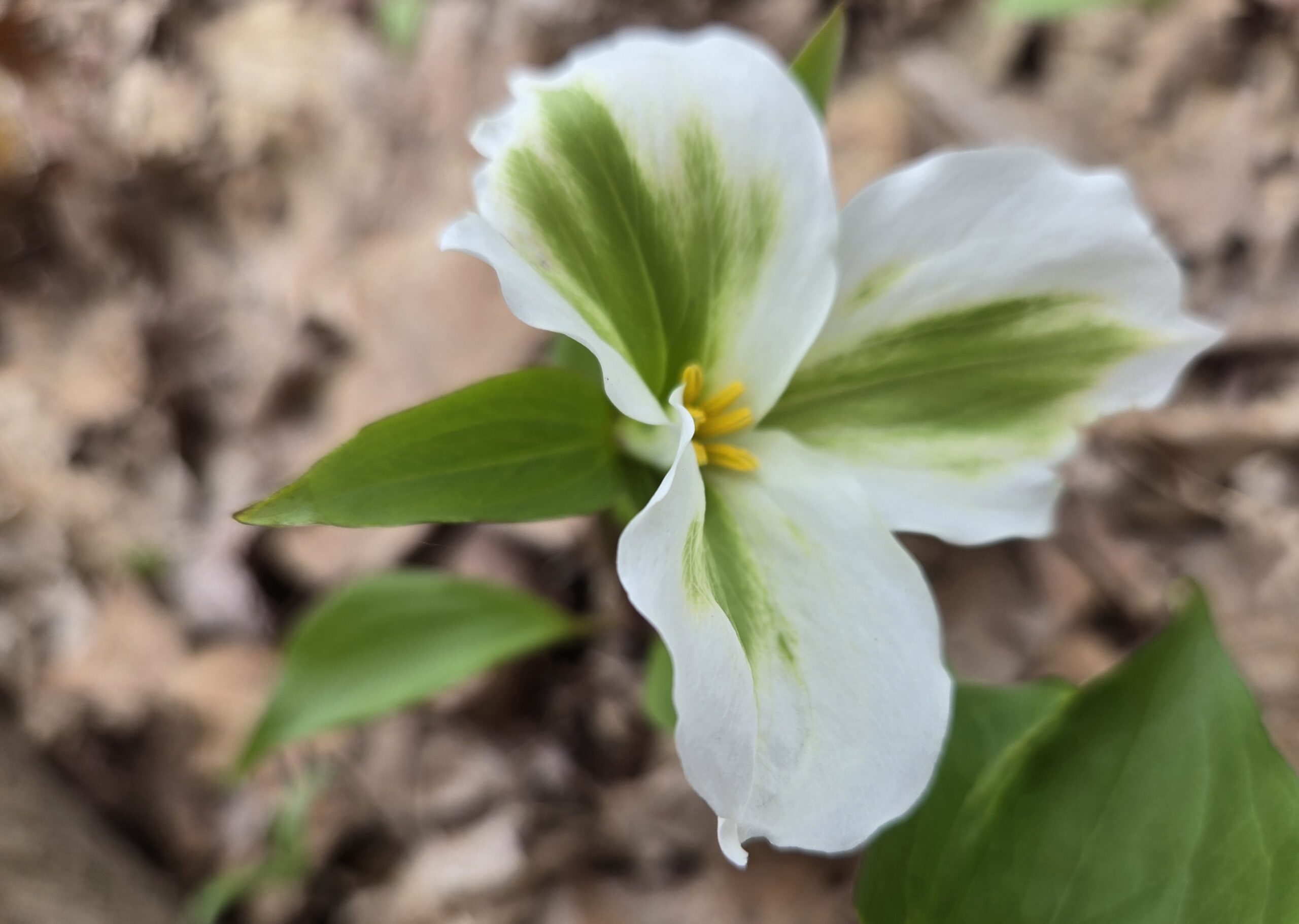
Witness the spring flowers!We will hike the Hilton Falls Side Trail (ST) to the Al-Shaw ST, then join the Main Trail at 8.9KM, Map 12 Ed 31 to the point where it meets the Hilton Falls Side Trail at 1.4KM. We will walk on the Hilton Falls Side Trail and have lunch at Hilton Falls. We return back to the Nassagaweya–Esquesing Townline parking lot following the Hilton Falls ST. Bring 1.5 – 2 liters of water and your lunch. Please dress for the weather. Expect some bugs, so pack you bug spray.
Car Hike: Exploring Uxbridge Trails (Wilder Forest, Walker Woods, and Glen Major Forest)
https://hikes.brucetrail.org/event/car-hike-exploring-uxbridge-trails-wilder-forest-walker-woods-and-glen-major-forest-7/Sorry, the registration cut-off time for this hike has been reached.Not a member? Click here to join today!Hosting Club: Toronto
Category: Car Hike
Location (Google Maps):2499 Brock Rd, Uxbridge, ON L9P 1R4. We will meet at the East Duffins Headwaters parking lot at the WILDER FOREST trail head. As soon as you got off the Brock Road, passing the horse back riding facility, there is a free designated parking lot 70 meters down the lane to your right. It includes a sign board for East Duffins Headwaters with a map of the trails. Please do not park on the lane or in the horse back riding property.
Hike Leader(s): Amir Alemohammad Click here to contact Hike Leader(s)
Pace: Moderate (3-4 km/hr)
Terrain: Flat, Hilly, Level 2 (Intermediate – some hills and uneven surfaces, rocks and roots underfoot), Variable
Distance: Approx.14-15 KmDescription
Join us for a delightful spring hike in Uxbridge, as we explore Wilder Forest, Walker Woods, and Glen Major Forest on a scenic loop starting from Brock Road. We’ll pass Concession Road 6, heading west and back, while also venturing onto several side trails for even more stunning views.What to Expect:
•Beautiful scenic views and lookouts facing south
•A mix of hilly and flat terrain
•Frequent 2-minute breaks for hydration and photos, with a 10-20 minute lunch/snack stop
•Stay on designated trails at all times
What to Bring and Wear:
•Hiking Boots and poles (recommended)
•At least 2 liters of water
•Your favorite snacks and lunch (pack your own refreshments for an outdoor meal)
•Dress accordingly variable weather; chilly morning with midday higher temperatures expected
Important Details:
•Stay on the designated trails
•Be prepared for the elements and enjoy the adventure!
Looking forward to seeing you on the trail!
Don’t forget your camera and a smile as we explore the beauty of the Uxbridge trails!
Car Hike: Rouge Valley: Vista and Mast Trails
https://hikes.brucetrail.org/event/car-hike-rouge-valley-vista-and-mast-trails/Sorry, the registration cut-off time for this hike has been reached.Not a member? Click here to join today!Hosting Club: Toronto
Category: Car Hike
Location (Google Maps): We will start from the Mast Trail Parking lot (South Trailhead) in Scarborough. If coming from Toronto, take the 401 east and get out at exit 390 for Kingston Rd. Address is shortly after 7450 Kingston Road and you’ll make a left.For a Google map location: https://maps.app.goo.gl/MWQvvK8Ksg4PEaGg9
Hike Leader(s): KJ Chong Click here to contact Hike Leader(s)
Pace: Moderate (3-4 km/hr)
Terrain: Hilly, Level 2 (Intermediate – some hills and uneven surfaces, rocks and roots underfoot), Variable
Distance: 9 kmDescription
Join us for a fantastic hike with views across the Rouge Valley on the Mast and Vista trails. We will pass by creeks and rivers and also climb up a few steep hills, ending the loop at the Vista lookout. There will be two stairs, boardwalks and more. Please arrive at 8:45 AM for briefing and we leave sharp at 9 AM.
Urban Walk: Toronto Urban Badge Hike - 2 of 7
https://hikes.brucetrail.org/event/urban-walk-toronto-urban-badge-hike-2-of-7-2/Sorry, the registration cut-off time for this hike has been reached.Not a member? Click here to join today!Hosting Club: Toronto
Category: Urban Walk
Location (Google Maps): Humber River Recreational TrailHike Leader(s): Brian Rideout Click here to contact Hike Leader(s)
Pace: Moderate (3-4 km/hr)
Terrain: Flat
Distance: 10.9 kmDescription
Please join me at the south east corner of Eglinton and Scarlett by 10 AM. We will hike south on the Humber Recreational Trail to Lakeshore Blvd and Ellis (km 19.2 to km 8.3). Here is an online map with km markings of our route for all 7 hikes for the Toronto Urban Badge: https://onthegomap.com/s/c2c1hf3nPlease make sure you bring at least 2 liters of water, a lunch, bug spray and sunscreen.
Urban Walk: Leslie Spit (Tommy Thompson Park)
https://hikes.brucetrail.org/event/urban-walk-leslie-spit-tommy-thompson-park-4/Sorry, the registration cut-off time for this hike has been reached.Not a member? Click here to join today!Hosting Club: Toronto
Category: Urban Walk
Location (Google Maps): We meet at Tommy Thompson Park by the public washrooms at Leslie and Unwin Sts. The TTC have routes that pass near Tommy Thompson Park. View the TTC schedules, routes, timetables, and find out how long does it take to get to Tommy Thompson Park in real time. List of stops closest to your destination: Leslie St at Mosley St; Queen St East at Alton Ave; Lake Shore Garage Loop.Hike Leader(s): Victor Ramautar Click here to contact Hike Leader(s)
Pace: Leisurely (2-3 km/hr)
Terrain: Flat, Level 2 (Intermediate – some hills and uneven surfaces, rocks and roots underfoot), Variable
Distance: 10-12 kmsDescription