Join us for a hike! Registration required:
All hikes available to BTC members. Some hikes are open to non-members.
TIP: The calendar view displays up to 7 hikes on a day, but often there are more. Click “More events” to see them all.
Toronto Hike Schedule
Toronto Bruce Trail Club Registration Live Dates
Day Winter Coach Program
Registration begins two weeks in advance of the event departure (at 8:00 PM)
Day Bus Hikes
Registration begins two weeks in advance of the event departure (at 8:00 PM) with some exceptions of special event hikes
Day Coach Hikes
Registration begins 7 weeks in advance of the event departure
Day Car Hikes and Urban Hikes
Registration begins two weeks in advance of the event departure
Overnight and Weekend Trips
Registration begins 12 weeks in advance of the event departure
To view all Bruce Trail Conservancy Hikes click here
- 10May 10, 2025
Car Hike: Bethesda Trail Richmond Hill
https://hikes.brucetrail.org/event/car-hike-bethesda-trail-richmond-hill-24/Sorry, the registration cut-off time for this hike has been reached.Not a member? Click here to join today!Hosting Club: Toronto
Location (Google Maps): Meet at Bethesda Trail Head Parking on Bethesda Sideroad off Bayview Avenue, across from Lake Wilcox. This parking lot is free.
Hike Leader(s): Mohammad Aghamiri Click here to contact Hike Leader(s)
Pace: Moderate (3-4 km/hr)
Terrain: Hilly, Level 2 (Intermediate – some hills and uneven surfaces, rocks and roots underfoot), Variable
Distance: 12-14 kmDescription
Join us to explore the trails of York Regional Forest and the Oak Ridges Corridor at Jefferson Forest and Bond lake,From parking lot we hike thought Jefferson forest and continue to Bond Lake and have snack beside the lake and return to parking around 13 to 13.30

School Bus Hike: Niagara E2E #3 of 6
https://hikes.brucetrail.org/event/bus-hike-niagara-e2e-3-of-6/Sorry, the registration cut-off time for this hike has been reached.Not a member? Click here to join today!Trip Information
Departure Time: 08:30
Return to City Time: 18:00
Departure Point: Kipling Departure PointOptional Items
Hosting Club: Toronto
Category: Bus Hike
Location (Google Maps): Niagara Section Kms 29.9 to 46.3Hike Leader(s): Tim Wainwright, Felix Wan Click here to contact Hike Leader(s)
Pace: Moderate (3-4 km/hr)
Terrain: Variable
Distance: 16.4 kmDescription
Join us for a lovely hike through Short Hills Provincial Park outside of St. Catharines. We begin at the DeCew House Heritage Park, and then follow the shore of Lake Moodie, and cross Twelve Mile Creek on the way to Short Hills Provincial Park. In the park we’ll pass a couple of waterfalls, before ending at Rockway Falls in the Rockway Conservation Area. There will be a refreshment stop on the way back to Toronto.Bring a packed lunch, two litres of water and sun/rain/bug protection as needed. Be prepared for some muddy ground along the way.
Drop-out point at 7 kms.
See Map 3 in the Bruce Trail Guide.
The remaining hikes in the Niagara E2E are:
- May 17
- May 24
- June 7
Boyne Valley Provincial Park- Murphy's Pinnacle
https://hikes.brucetrail.org/event/boyne-valley-provincial-park-murphys-pinnacle/Sorry, the registration cut-off time for this hike has been reached.Not a member? Click here to join today!Hosting Club: Toronto, Dufferin Hi-Land
Category: Car Hike
Location (Google Maps): County Road 19 (Prince of Wales Rd) Parking Area. This parking is 80 meters south of the Prince of Wales Side Trail. GPS Coordinates N44.100049, W80.137339.Hike Leader(s): Ross Estrella Click here to contact Hike Leader(s)
Pace: Brisk (4-5 km/hr)
Terrain: Hilly, Level 2 (Intermediate – some hills and uneven surfaces, rocks and roots underfoot), Rocky
Distance: 14 kmDescription
We’ll hike the Prince of Wales, Primrose Loop. Boyne Valley Side Trails and portion of the Main Trail at Boyne Valley Provincial Park. Atop Murphy’s Pinnacle we’ll enjoy and appreciate the early greening of the sorrounding landscape. Please bring your favorite liquid fuel, snacks/lunch and personal medications if any and health card. There maybe some muddy and slippery spots so hiking poles and proper footwear is always recommended. Please arrive fifteen minutes early.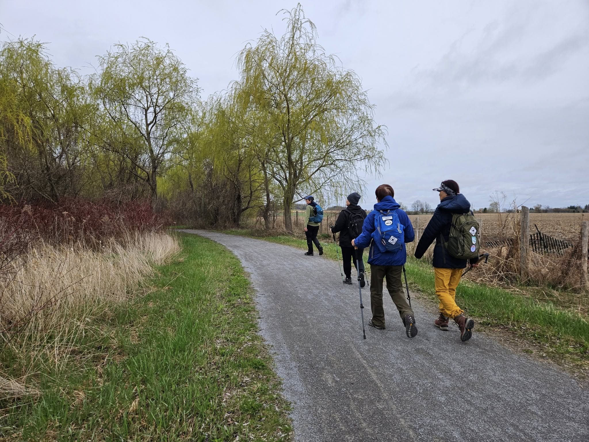
Car Hike: Rouge National Park Trails 16 KM
https://hikes.brucetrail.org/event/car-hike-rouge-national-park-trails-16-km/Sorry, the registration cut-off time for this hike has been reached.Not a member? Click here to join today!Hosting Club: Toronto
Category: Car Hike
Location (Google Maps): Rouge National Urban Park, 16th Ave Parking LotHike Leader(s): Alina Lin
Pace: Brisk (4-5 km/hr)
Terrain: Flat, Level 2 (Intermediate – some hills and uneven surfaces, rocks and roots underfoot)
Distance: 16 KMDescription
Meet at the parking lot Northeast of the Ninth Line @ 19th Ave, GPS ( 43.952621, -79.246167) .Please arrive before 8:45 am to get yourself ready.
We will leave the parking lot at 9:00am, hike along Rouge National Park Trails up to the Elgin Mills Road , and then return. Here is the planned route FYI: https://onthegomap.com/s/12v2do4v . Depending on the trail condition, we may have to adjust the route or distance.
Notes for your attention:
- Wear clothing in layers for the weather.
- Bring water, snacks or light lunch. We will have a short break for lunch after reaching turning point.
- No dogs/pets.

Urban Walk: Toronto Urban Badge Hike - 3 of 7
https://hikes.brucetrail.org/event/urban-walk-toronto-urban-badge-hike-3-of-7/Sorry, the registration cut-off time for this hike has been reached.Not a member? Click here to join today!Hosting Club: Toronto
Category: Urban Walk
Location (Google Maps): Toronto Waterfront TrailHike Leader(s): Brian Rideout Click here to contact Hike Leader(s)
Pace: Moderate (3-4 km/hr)
Terrain: Flat
Distance: 10.4 kmDescription
Please join me at the south west corner of Lakeshore Blvd West and Ellis by 10 AM. We will hike east along the Waterfront Trail to the Distillery District (km 8.3 to km 71.4). Here is an online map with km markings of our route for all 7 hikes for the Toronto Urban Badge.Please make sure you bring at least 2 liters of water, a lunch, bug spray and sunscreen.