Categories
- 15June 15, 2025
CANCELLED - Black Bank
https://hikes.brucetrail.org/event/black-bank/Sorry, the registration cut-off time for this hike has been reached.Not a member? Click here to join today!Hosting Club: Iroquoia
Category: General Hike
Location (Google Maps): Meet roadside at 9:15 at the corner of 20th Side Road and Prince of Wales Rd, just north of Kilgorie.Hike Leader(s): Karen Bergmann Click here to contact Hike Leader(s)
Pace: Medium – 3 to 4 km/hr
Terrain: Moderate – Some hills and/or some poor footing, Strenuous – Hilly with steep climbs and some poor footing
Distance: 9 kmsDescription
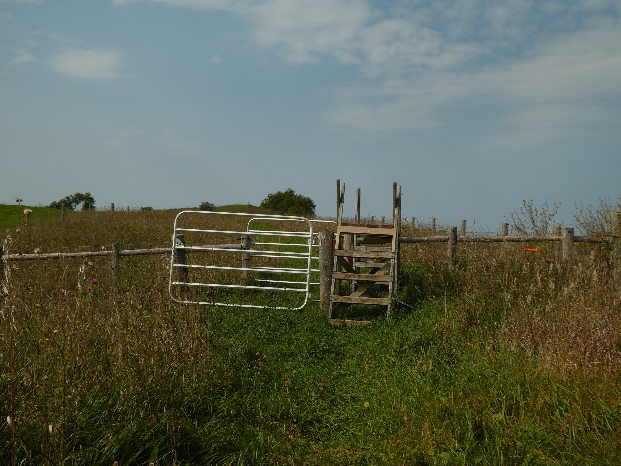
This hike will take us into a challenging valley with rocks and hills and then through a cattle pasture and over a few stiles. Black Bank is in the Dufferin Section. You are welcome to ride with me from Mississauga if you don’t want to drive. I’ll send an email a couple of days prior to the hike to remind you and see who wants to carpool.
Urban Walk: Toronto Urban Badge Hike - 6 of 7
https://hikes.brucetrail.org/event/urban-walk-toronto-urban-badge-hike-6-of-7-2/Sorry, the registration cut-off time for this hike has been reached.Not a member? Click here to join today!Hosting Club: Toronto
Category: Urban Walk
Location (Google Maps): East Don River TrailHike Leader(s): Brian Rideout Click here to contact Hike Leader(s)
Pace: Moderate (3-4 km/hr)
Terrain: Flat
Distance: 9 kmDescription
Please join me at the south east corner of Sheppard Ave East and Leslie by 10 AM. We will hike south through several parks to Don Mills (S of Overleigh) (km 51.7 to km 62.4). Here is an online map with km markings of our route for all 7 hikes for the Toronto Urban Badge: https://onthegomap.com/s/c2c1hf3nPlease make sure you bring at least 2 liters of water, a lunch, bug spray and sunscreen.
Urban Walk: Missisauga Waterfront Trail Long Branch to Port Credit
https://hikes.brucetrail.org/event/urban-walk-missisauga-waterfront-trail-long-branch-to-port-credit/Sorry, the registration cut-off time for this hike has been reached.Not a member? Click here to join today!Hosting Club: Toronto
Category: Urban Walk
Location (Google Maps): Meet inside Long Branch GO Station by the ticket agent at 11:15 or if traveling by GO Train from Union Station meet in the Great Hall by the information desk with the clock over it to depart at 10:35 to catch the Lakeshore West train departing at 10:47. Train schedules can vary depending on construction projects so please register to be advised if any changes.Hike Leader(s): Tom Swales Click here to contact Hike Leader(s)
Pace: Moderate (3-4 km/hr)
Terrain: Flat
Distance: 11 kmDescription
Join us for a hike along Mississauga’s Waterfront Trail to the village of Port Credit. We’ll have our lunch stop at the marina of the lovely Waterfront Promenade Park and explore the two headlands. Optional pub or cafe stop after the hike. Return to Toronto by the GO Train or Miway Bus to Long Branch.Exploring Sydenham Hike #24
https://hikes.brucetrail.org/event/exploring-sydenham-hike-24/Sorry, the registration cut-off time for this hike has been reached.Not a member? Click here to join today!Hosting Club: Sydenham
Category: General Hike
Location (Google Maps): Meet in the parking lot behind the Grey-Sauble Conservation Authority head office.
237897 Inglis Falls Road, Owen SoundHike Leader(s): Bill Snel Click here to contact Hike Leader(s)
Pace: Leisurely: 3 km/h or less
Terrain: Moderate: Some hills and/or poor footing, Strenuous: Hilly with steep climbs and some poor footing.
Distance: 6.2 kmDescription
We will do a loop hike from the Grey Sauble Conservation Administration Centre. This is hike 24 in the book Exploring Sydenham. If you do not have a book and would like one ($30) let me know by using the “Contact hike leader” link.