Categories
- 14December 14, 2025
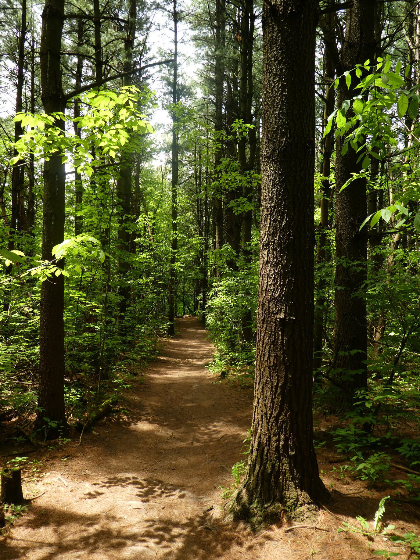
Nassagaweya Canyon, from Crawford Lake (reservations required)
https://hikes.brucetrail.org/event/nassagaweya-canyon-from-crawford-lake-reservations-required/Sorry, the registration cut-off time for this hike has been reached.Not a member? Click here to join today!Hosting Club: Iroquoia
Category: General Hike
Location (Google Maps): Meet in the first parking lot at Crawford Lake. You will need to reserve your time at conservationhalton.caHike Leader(s): Karen Bergmann Click here to contact Hike Leader(s)
Pace: Medium – 3 to 4 km/hr
Terrain: Moderate – Some hills and/or some poor footing
Distance: 9 kmsDescription
Meeting at 9:15 am in the first parking lot, we will hike through the park and down into the canyon and back up into the park for a large loop. There are some rocks along the way and a couple of steep hills (going down into the canyon and then back up). Bring a snack, as needed.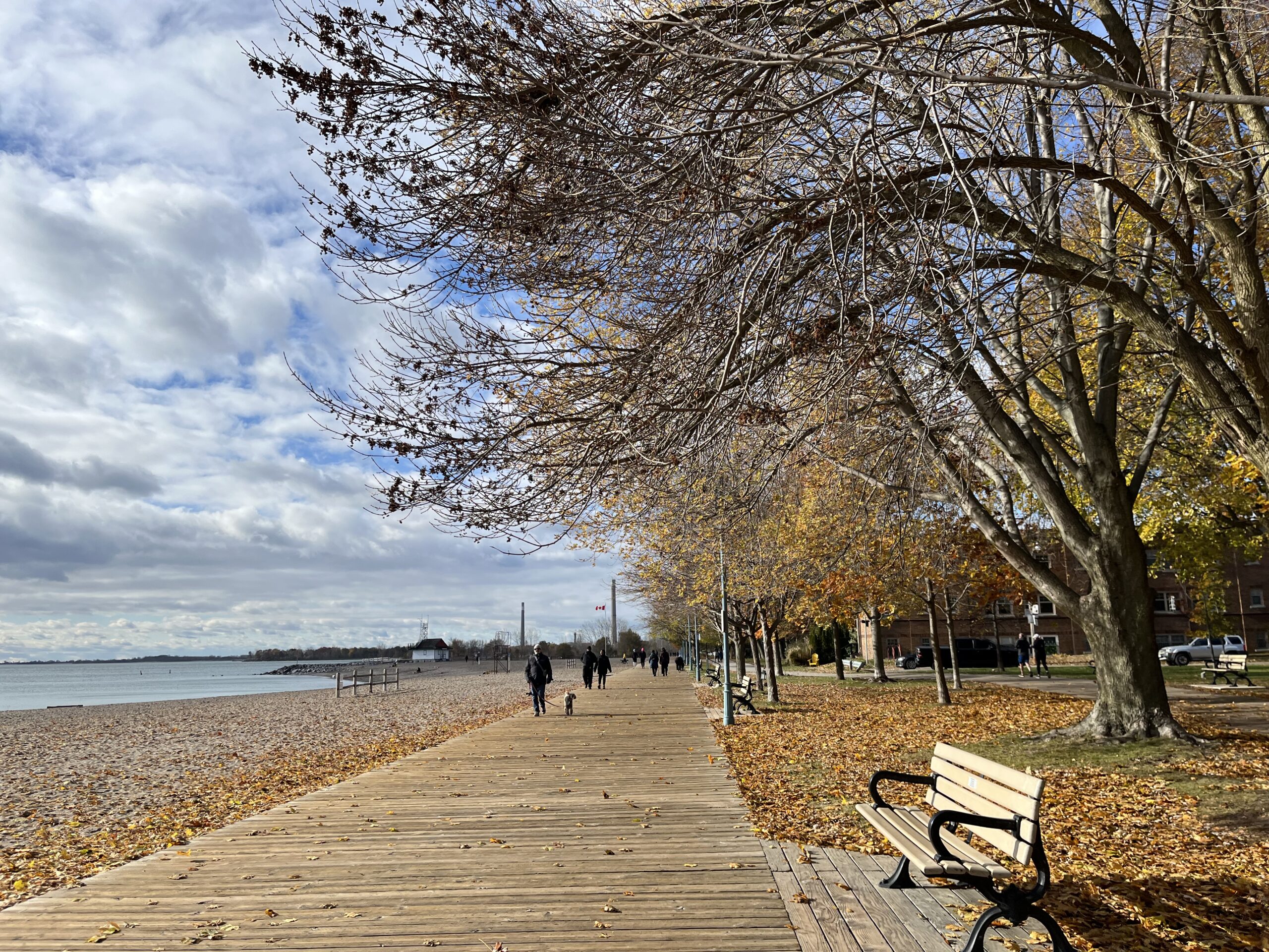
Urban Walk: "Christmas is in the air" Toronto Beaches & Glen Stewart Ravine
https://hikes.brucetrail.org/event/urban-walk-christmas-is-in-the-air-toronto-beaches-glen-stewart-ravine/Sorry, the registration cut-off time for this hike has been reached.Not a member? Click here to join today!Hosting Club: Toronto
Category: Urban Walk
Location (Google Maps): Meet at the Toronto Public Library, Beaches Branch, 2161 Queen Street East, Toronto, M4L 1J1Hike Leader(s): Jeanette Vincent Click here to contact Hike Leader(s)
Pace: Moderate (3-4 km/hr)
Terrain: Level 1 (Easy – mostly on flat, well maintained trails with hard-packed surface)
Distance (km): 12/13kmDescription
Meet at the Toronto Public Library, Beaches Branch. My late husband Gregory Vincent grew up in the beach and we often visited and walked the area. We will walk the boardwalk and easy pathways that wind along the variety of beaches between Victoria Park Avenue to Ashbridges Bay Park. It will be an out and back route with a couple short loops with lots of views into Lake Ontario, you will see many points of interest, parks, Kew gardens, including the historic Leuty Lifesaving Station and the historic architecture of the Ashbridges Bay Wastewater Treatment Plant, the R.C. Harris Filtration Plant. I have frequent visits to this area and we will make our way across Queen St. to walk the Glen Stewart Ravine a nice ascent, taking in beautiful picturesque natural areas along Ames creek, meandering on elevated boardwalks and stair cases and then descending the area on some of the pleasing neighbourhood streets back to our start at the Beaches Branch Library. A pleasing area that offers a little something for everyone and with the sights and sounds of Christmas in the beach neighbourhood.
If you want something a little shorter you can drop-out at various locations along the way. For those who want a stop after the hike, we have a variety of cafes and restaurants to choose from. No dogs. Wear good footwear, bring snacks/lunch and water. Dress according to the weather conditions for the day.
Hiking boots recommended and if there is snow and/or ice bring along icers or similar ice traction wear.Urban Walk: Humber River/Black Creek Trail
https://hikes.brucetrail.org/event/urban-walk-humber-river-black-creek-trail-3/Sorry, the registration cut-off time for this hike has been reached.Not a member? Click here to join today!Hosting Club: Toronto
Category: Urban Walk
Location (Google Maps):Meet Jane Subway Station outside the Station Attendant’s Booth
Hike Leader(s): Tom Swales, Click here to contact Hike Leader(s)
Pace: Moderate (3-4 km/hr)
Terrain: Level 1 (Easy – mostly on flat, well maintained trails with hard-packed surface), Variable
Distance: 9 kmDescription
Join us for a morning hike north on the Humber Recreation Trail to Dundas Street and eastbound on the Black Creek and Lavender Creek Trail finishing near St. Clair an Runnymede. Mainly paved or gravel paths but expect a couple of short but steep hills. Bring lunch to have early at our stop at Lambton Arena or join us for lunch after the hike.Walk In Nature Series (WINS) - Rocklyn Creek Management Area
https://hikes.brucetrail.org/event/walk-in-nature-series-wins-rocklyn-creek-management-area/Sorry, the registration cut-off time for this hike has been reached.Not a member? Click here to join today!Hosting Club: Sydenham
Category: General Hike
Location (Google Maps):This location is a Bruce Trail off-road parking lot on the east side of Grey Road 12, less than 1 km north of Grey Rd 40. It is found at km 0.0, the start of the Sydenham section, on Map 28 of Edition 31 of the Bruce Trail Reference.
For directions using GPS Coordinates, open a map on your device by following the link embedded in “Google Maps” at the start of this description or copy them from here: 44.50053, -80.63290Hike Leader(s): Stewart Brown Click here to contact Hike Leader(s)
Pace: Medium: 3 to 4 km/h
Terrain: Moderate: Some hills and/or poor footing
Distance: 7 kmDescription
The Walk In Nature Series (WINS) consists of short loop hikes in the Sydenham section of the Bruce Trail that combine nature appreciation with fitness in a safe and welcoming group environment led by an experienced hike leader. Consider these hikes to be appointments with yourself in nature that promote health and fitness.This northbound linear hike from Blantyre, km 0.0 of the Sydenham section, along the gently-sloped escarpment and through the scenic Rocklyn Creek Management Area leads us to our preplaced shuttle vehicle(s) at the St. Vincent-Sydenham townline. From there, hikers enjoy a 10 minute shuttle ride back to their vehicles. Some good news about this hike, that more or less follows down Rocklyn Creek, is that gravity is on our side!
Arrive 15 min early, dress in layers with good footwear. Hiking poles may be helpful. Bring water and a snack. See you there!