Categories
- 13December 13, 2025
Car Hike: Seaton Trail
https://hikes.brucetrail.org/event/car-hike-seaton-trail-2/Sorry, the registration cut-off time for this hike has been reached.Not a member? Click here to join today!Hosting Club: Toronto
Location (Google Maps): Seaton Trail Parking Lot, Pickering
Hike Leader(s): Mohammad Aghamiri Click here to contact Hike Leader(s)
Pace: Moderate (3-4 km/hr)
Terrain: Hilly, Level 2 (Intermediate – some hills and uneven surfaces, rocks and roots underfoot)
Distance (km): 12-14 kmDescription
We will hike along Seaton trail and enjoy the lovely scenery of forest and river.Woodend to St. Paul
https://hikes.brucetrail.org/event/woodend-to-st-paul/Sorry, the registration cut-off time for this hike has been reached.Not a member? Click here to join today!Hosting Club: Niagara
Category: Loop
Location (Google Maps): Woodend Conservation areaHike Leader(s): Lauren Doig Click here to contact Hike Leader(s)
Pace: Brisk
Terrain: Moderate
Distance: 18 kmDescription
Meet at Woodend Conservation Area, just off of Taylor Rd and hike to St. Paul, taking a few side trails along the way.Bring water, snacks. Dress for the weather. Bring icers

Camino Hike
https://hikes.brucetrail.org/event/camino-hike-3/Sorry, the registration cut-off time for this hike has been reached.Not a member? Click here to join today!Hosting Club: Iroquoia
Category: Camino Hikes
Location (Google Maps):City View Park – Please enter via Dundas St onto Kerns Rd, second left to the parking area.</p
City View Park
From Dundas Street East, turn onto Kerns Rd. Take the second driveway on the left and follow it to the parking.Hike Leader(s): Ruth Moffatt Click here to contact Hike Leader(s)
Pace: Medium – 3 to 4 km/hr
Terrain: Moderate – Some hills and/or some poor footing
Distance: 8.5kmDescription
Whether you are Camino-curious, have hiked a Camino or just want to hike, please join us. It will be a great opportunity to share information about hiking a Camino or recommend books, films, outfitters, etc. Everyone is welcome.Please bring enough water, snacks and sturdy boots and icers if winter conditions are present. We will hike about 8.5km return, Medium pace and Moderate Terrain.
RAINBOW HIKE: Ancaster, Three Waterfalls + a Hiker Cafe
https://hikes.brucetrail.org/event/rainbow-hike-ancaster-3-waterfalls-a-hiker-cafe/Sorry, the registration cut-off time for this hike has been reached.Not a member? Click here to join today!Hosting Club: Iroquoia
Category: Rainbow Hike
Location (Google Maps): Parking lot at corner of Wilson & Academy, downtown AncasterHike Leader(s): Doug O’Neill Click here to contact Hike Leader(s)
Pace: Medium – 3 to 4 km/hr
Terrain: Moderate – Some hills and/or some poor footing
Distance: 13 -14 kmDescription
This queer-led, all-inclusive 2SLGBTQIA+ hike starts in downtown Ancaster, connects with the Bruce Trail—stopping at three waterfalls—then follows a mishmash of sidetrails with lunch at the Trail Centre/Historic Train Station (indoor washroom facilities, warming station). Arrive by 9:15 a.m. for a 9:30 a.m. start.Fully accessible by Hamilton Public Transit or car. We’ll start and end in the same spot, no shuttle or carpooling required.
What’s a Rainbow Hike: The aim of the Bruce Trail’s Rainbow Hikes is to create a safe, welcoming space for 2SGBTQIA+ hikers—including trans, gay, lesbian, bisexual, queer, Two-Spirit, intersex, asexual, and straight friends—to show up and be themselves in a safe and friendly outdoor setting. Our hiking group typically includes 20 to 25 people representing a full spectrum of sexual orientations, gender identities, and expressions. Diversity Rules 🙂
Highlights for this hike: three waterfalls (Tiffany, Sherman and Canterbury), Hermitage ruins, Dundas Valley Conservation nature interpretation centre, replica Victorian-style train station, two train cabooses from the 1920s—with an optional post-hike visit to the gay-owned and operated Trails Cafe in downtown Ancaster.
Where to meet: We’ll rendezvous at the small parking lot right the corner of Wilson Street East and Academy in Ancaster (put 392 Wilson Street East into your GPS).Coming by Hamilton Transit: Take the 5A MEADOWLANDS via McMASTER bus from King and Bay, get off at Rousseaux at Wilson (in Ancaster), and walk 5 minutes (max) up Wilson street to our meeting spot.
Parking at corner oof Wilson Street East and Academy. Just look for the unpaved parking lot right at the corner. Free. If full, there’s also parking across the street.
If you arrive early and you need to visit the loo or wait in a warm place, there’s a Tim Horton’s (370 Wilson). You need to ask for the washroom key and they may prioritize people who are buying something. Try your luck!
Bring sufficient water and proper lunch. Hiking boots are recommended, icers too. Dress in layers. Gaiters, to protect pants from mud, are a good idea.
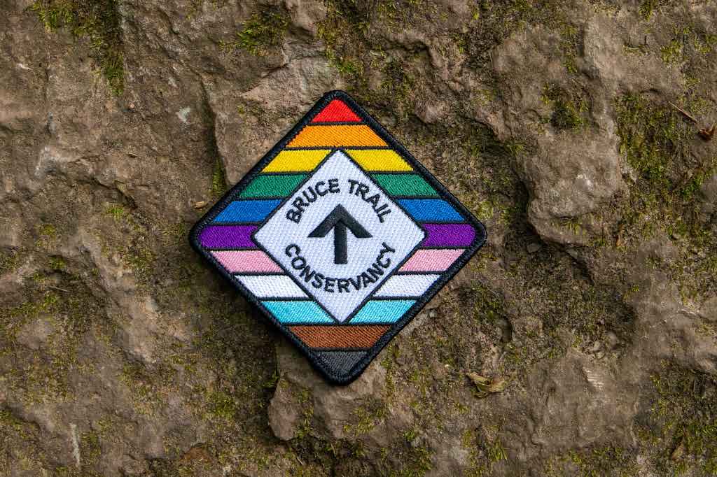
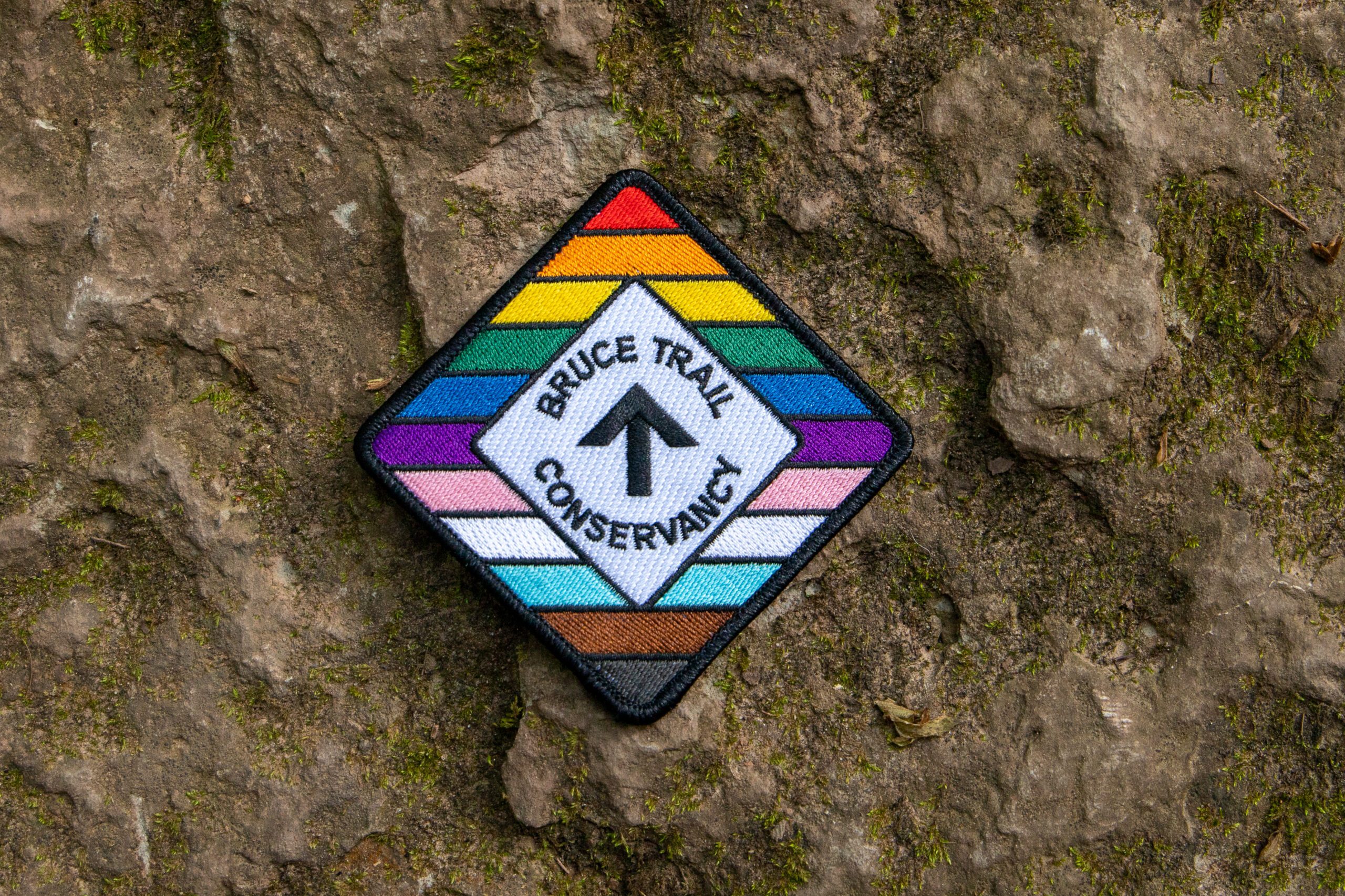
Get your complimentary Bruce Trail Rainbow badge!
Feel free to reach out to the Hike Leader Doug if you have any questions at all- “Click here to contact Hike Leader” on this form.
Rainbow/Welcome Hike: Louth Conservation Area
https://hikes.brucetrail.org/event/rainbow-welcome-hike-louth-conservation-area/Sorry, the registration cut-off time for this hike has been reached.Not a member? Click here to join today!Hosting Club: Niagara
Category: Loop
Location (Google Maps): Louth Conservation Area: https://maps.app.goo.gl/LWWRPcRWMHEJwNbi8Hike Leader(s): Angela Lytle Click here to contact Hike Leader(s)
Pace: Medium
Terrain: Moderate
Distance: 5 kmDescription
Join the Niagara Bruce Trail Club, Bridges Niagara Immigrant and Refugee Services and PFLAG Niagara for a Rainbow-Welcome Hike at Louth Conservation Area!Enjoy the sights and sounds of this beautiful conservation area, which has two waterfalls!
What is a Rainbow-Welcome Hike?
These hikes aim to bring 2S-LGBTQIA+ newcomers together with other newcomers and community members, friends and allies to enjoy nature and connect to the land.
It is an affirming space for people of diverse backgrounds and identities. Everyone is welcome. We will have Bruce Trail PRIDE stickers for all hikers, and a limited number of PRIDE badges if you don’t yet have one!
Hike Details
Route: This hike loops around Louth Conservation area side trails and the Bruce Trail for about 5 km, visiting both the main waterfall and the lower falls.
Terrain: The terrain has some ups and downs along the escarpment edge and into and out of the valley. At this time of year, it can be muddy, icy or both. We will adjust the pace to the group but be prepared for some rocky, uneven footing and clambering up and down. We recommend using hiking poles and wearing good hiking shoes is a must. If the weather conditions are snowy or icy, icers/microspikes may be needed. Carry water and dress for changeable weather.
Map: https://maps.app.goo.gl/LWWRPcRWMHEJwNbi8
Note: There are no toilets on this route.
***Please arrive by 9:50 to check in with the hike leader for departure at 10.
There is a small parking lot at the entrance to the conservation area and additional parking along Sue Ann Staff Avenue. We will meet at 9:50 at the parking lot to check in before heading out at 10.
Saturday Shorts: Riverside Woods Nature Reserve
https://hikes.brucetrail.org/event/saturday-shorts-riverside-woods-nature-reserve-3/Sorry, the registration cut-off time for this hike has been reached.Not a member? Click here to join today!Hosting Club: Caledon Hills
Category: Introductory
Location (Google Maps): Meet at Bruce Trail Parking Lot at Riverside Woods Nature Reserve
713377 1st Line EHS, Mono
Google GPS Coordinates: 43.959916, -80.070494Directions:
From Hwy #10 north of Orangeville turn east on Hockley Road.
Drive for 1.1 km.
Continue straight onto Side Road 5 for 1.6 km.
Turn left onto 1st Line EHS for 900 metres.
Continue straight into the parking lot.FYI There is an outhouse at the parking lot.
***DO NOT take 1st Line EHS south from Hockley Road. It is NOT maintained. Google Maps may suggest this impassable route.
Hike Leader(s): Sandy Green Click here to contact Hike Leader(s)
Pace: Leisurely – 3 km/hour or less
Terrain: Moderate – some hills and/or some poor footing
Distance: 5 kmDescription
Looking to get out on a Saturday without giving up your whole day? This Saturday Short hike will get you out in a small group on a short forest adventure. Dress for chilly temperatures, and depending on the snow and ice conditions, pack icers/crampons. Bring a beverage and snack to keep you fuelled during the hike. The hike promises to be a fun one. Everyone is welcome!After the hike, you may wish to visit the CHBTC’s Winter Market, Hockleycrest Farm 933445 on the east side of Airport Road, Mono.
Urban Walk; Rouge Park Christmas Hike
https://hikes.brucetrail.org/event/urban-walk-rouge-park-christmas-hike/Sorry, the registration cut-off time for this hike has been reached.Not a member? Click here to join today!Hosting Club: Toronto
Category: Urban Walk
Location (Google Maps): Rouge National Park, Toronto, OntarioHike Leader(s): Brian Rideout Click here to contact Hike Leader(s)
Pace: Moderate (3-4 km/hr)
Terrain: Challenging, Hilly, Level 2 (Intermediate – some hills and uneven surfaces, rocks and roots underfoot), Variable
Distance (km): 10.17 kmDescription
Please join me for a holiday hike in the Rouge National Urban Park, which has been voted by some members as my best and exhilarating one. On this hike, you can expect rolling hills, and stunning vistas, including the largest remaining wetland in the City of Toronto.The hike starts at the Toronto Zoo entrance. To get there, you can meet me at Kennedy TTC station by 9:55 am for a 42-minute bus ride, or you can take the 85 Sheppard East bus route from Don Mills Station or Rouge Hill GO station. If driving, consider parking for free next to the Rouge Valley Conservation Centre (Pearse House), GPS (43.81780727235202, -79.17176449225887), where the hike ends, and walk over to the Toronto Zoo entrance. This walk is about 10 minutes.
Please bring at least 2 liters of water, a snack and dress for the cold. Hiking poles are recommended. Bring icers just in case. Expect some hilly terrain.
Apres-hike at The Stone Cottage Pub, to share the holiday season with fellow hikers. Please wear Holiday colors and bring your appetite.
Here is an online map of our route (https://onthegomap.com/s/9mpj477d) Rouge Park Map
Update: The Park Rd entrance to Rouge National Urban Park is closed for construction of the new visitor centre. This includes a portion of Vista Trail from the platform area to the road therefore Orchard Trail and Vista Trail do not connect at this time. Parking at the Rouge Valley Conservation Area is very small and reserved for RVCC visitors, not park users. Parking is available at 55 Twyn Rivers Drive or at 7450 Kingston Rd. Here’s a link to the information bulletin for the closure: https://parks.canada.ca/pn-np/on/rouge/securite-safety/bulletins/06cbeb39-d081-4e5d-9a38-981ff1875baf. The Rouge Valley Conservation Centre is hosting its own event on Dec 13th and will require the use of their parking lot.
Update: I can confirm that there is no parking available in the park. If driving you will have to park at the Toronto Zoo. There is some construction underway at the Zoo so the available parking space is reduced but spots should be available. Also, the portion of the Vista Trail near the existing Visitor Center in the park is blocked by a construction site. However, we can skirt the construction site outside the fence without violating the ‘no trespass’ prohibition, at least I was able to On December 7.
Update: There is a steep hill that we go down. You will be unable to descend safely without icers. Trekking poles are strongly recommended.