
The BTC office will be closed on Mon. Oct. 12 for the holiday. Thank you for your understanding.
Hike Schedule
Join us for a hike! Registration required.
All hikes available to BTC members. Some hikes are open to non-members.
See Refund Policy for Paid Hikes >
TIP: The calendar view displays up to 7 hikes on a day, but often there are more. Click “View more events” to see them all.
Niagara
Iroquoia
Toronto
Caledon Hills
Dufferin Hi-Land
Blue Mountains
Beaver Valley
Sydenham
Peninsula
All Clubs
Show Filters
Categories
Reset Filters
- 15June 15, 2025
CANCELLED - Black Bank
https://hikes.brucetrail.org/event/black-bank/Sorry, the registration cut-off time for this hike has been reached.Not a member? Click here to join today!Hosting Club: Iroquoia
Category: General Hike
Location (Google Maps): Meet roadside at 9:15 at the corner of 20th Side Road and Prince of Wales Rd, just north of Kilgorie.Hike Leader(s): Karen Bergmann Click here to contact Hike Leader(s)
Pace: Medium – 3 to 4 km/hr
Terrain: Moderate – Some hills and/or some poor footing, Strenuous – Hilly with steep climbs and some poor footing
Distance: 9 kmsDescription
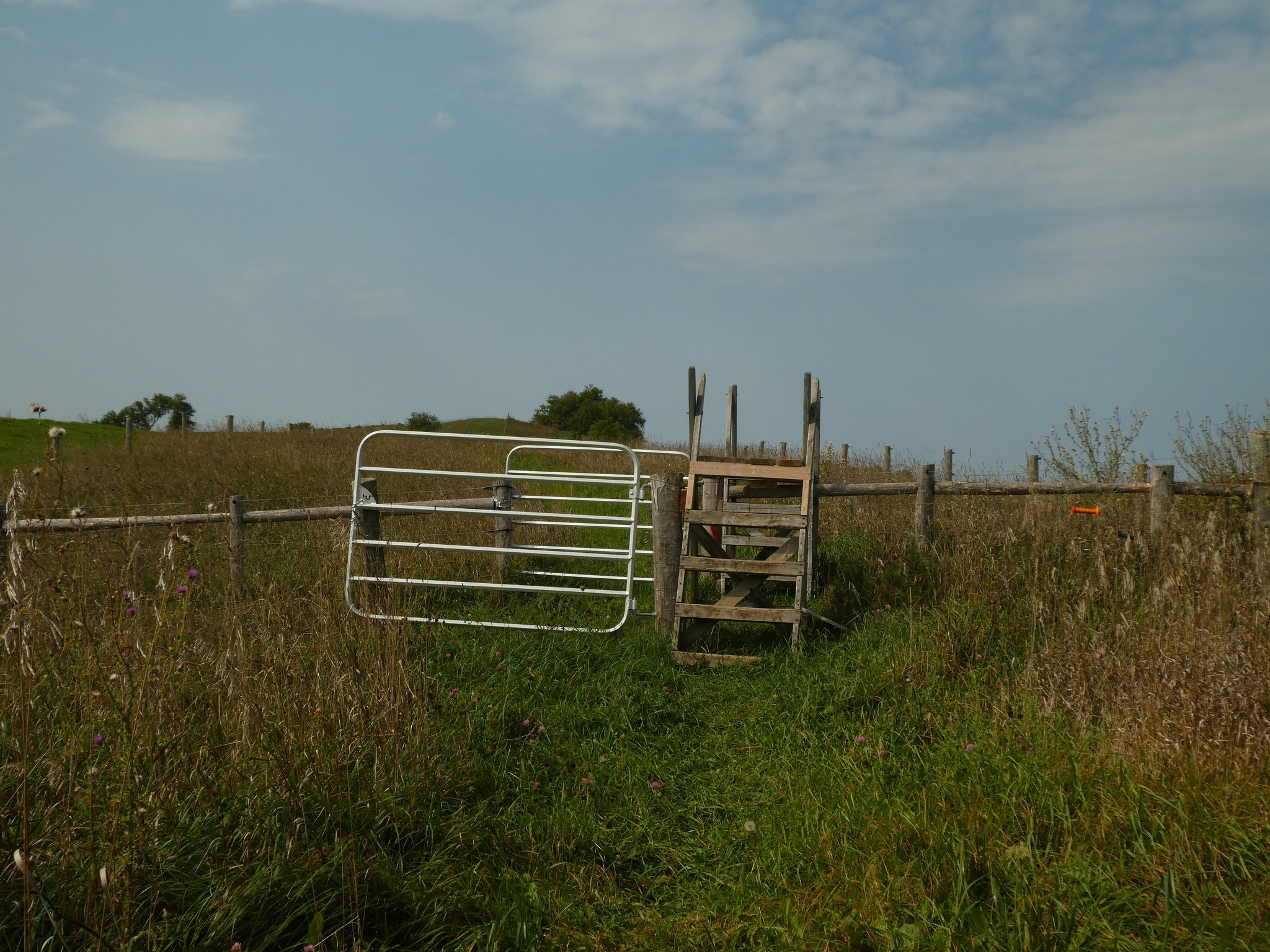
This hike will take us into a challenging valley with rocks and hills and then through a cattle pasture and over a few stiles. Black Bank is in the Dufferin Section. You are welcome to ride with me from Mississauga if you don’t want to drive. I’ll send an email a couple of days prior to the hike to remind you and see who wants to carpool.
Urban Walk: Toronto Urban Badge Hike - 6 of 7
https://hikes.brucetrail.org/event/urban-walk-toronto-urban-badge-hike-6-of-7-2/Sorry, the registration cut-off time for this hike has been reached.Not a member? Click here to join today!Hosting Club: Toronto
Category: Urban Walk
Location (Google Maps): East Don River TrailHike Leader(s): Brian Rideout Click here to contact Hike Leader(s)
Pace: Moderate (3-4 km/hr)
Terrain: Flat
Distance: 9 kmDescription
Please join me at the south east corner of Sheppard Ave East and Leslie by 10 AM. We will hike south through several parks to Don Mills (S of Overleigh) (km 51.7 to km 62.4). Here is an online map with km markings of our route for all 7 hikes for the Toronto Urban Badge: https://onthegomap.com/s/c2c1hf3nPlease make sure you bring at least 2 liters of water, a lunch, bug spray and sunscreen.
Urban Walk: Missisauga Waterfront Trail Long Branch to Port Credit
https://hikes.brucetrail.org/event/urban-walk-missisauga-waterfront-trail-long-branch-to-port-credit/Sorry, the registration cut-off time for this hike has been reached.Not a member? Click here to join today!Hosting Club: Toronto
Category: Urban Walk
Location (Google Maps): Meet inside Long Branch GO Station by the ticket agent at 11:15 or if traveling by GO Train from Union Station meet in the Great Hall by the information desk with the clock over it to depart at 10:35 to catch the Lakeshore West train departing at 10:47. Train schedules can vary depending on construction projects so please register to be advised if any changes.Hike Leader(s): Tom Swales Click here to contact Hike Leader(s)
Pace: Moderate (3-4 km/hr)
Terrain: Flat
Distance: 11 kmDescription
Join us for a hike along Mississauga’s Waterfront Trail to the village of Port Credit. We’ll have our lunch stop at the marina of the lovely Waterfront Promenade Park and explore the two headlands. Optional pub or cafe stop after the hike. Return to Toronto by the GO Train or Miway Bus to Long Branch.Exploring Sydenham Hike #24
https://hikes.brucetrail.org/event/exploring-sydenham-hike-24/Sorry, the registration cut-off time for this hike has been reached.Not a member? Click here to join today!Hosting Club: Sydenham
Category: General Hike
Location (Google Maps): Meet in the parking lot behind the Grey-Sauble Conservation Authority head office.
237897 Inglis Falls Road, Owen SoundHike Leader(s): Bill Snel Click here to contact Hike Leader(s)
Pace: Leisurely: 3 km/h or less
Terrain: Moderate: Some hills and/or poor footing, Strenuous: Hilly with steep climbs and some poor footing.
Distance: 6.2 kmDescription
We will do a loop hike from the Grey Sauble Conservation Administration Centre. This is hike 24 in the book Exploring Sydenham. If you do not have a book and would like one ($30) let me know by using the “Contact hike leader” link. - 16June 16, 2025No events
- 17June 17, 2025
8:00 Long Hike Wiley Road Short Hills (NEW TIME)
https://hikes.brucetrail.org/event/800-long-hike-wiley-road-short-hills-new-time-7/Sorry, the registration cut-off time for this hike has been reached.Not a member? Click here to join today!Hosting Club: Niagara
Location (Google Maps):
Short Hills Wiley Road Entrance
Pace: Medium
Terrain: Moderate
: 10kmDescription
Explore Short Hills and the majestic side trails of Scarlett Tanager, Hemlock. Swayze Falls and Terrace. Register for each hikeBring Poles, Sun Screen Bug Spray, snack, and dress for the weather
Urban Walk: Valley View Park Thornhill
https://hikes.brucetrail.org/event/urban-walk-valley-view-park-thornhill-79/Sorry, the registration cut-off time for this hike has been reached.Not a member? Click here to join today!Hosting Club: Toronto
Location (Google Maps): Parking lot is inside Sycamore Drive East of Bayview , across Starbucks plaza
Hike Leader(s): Mohammad Aghamiri Click here to contact Hike Leader(s)
Pace: Moderate (3-4 km/hr)
Terrain: Hilly, Level 2 (Intermediate – some hills and uneven surfaces, rocks and roots underfoot)Description
We will explore Valleyview and Maple View parks, and walk along German Mill Creak, in return we stop in Huntington park and have snack under beautiful shed ,Even it is considered Urban walk, it is urban hike as we have some up and down hills and tree roots, please bring your hiking poles, water and snacks,
Dufferin Hi-Land 60th Anniversary Highlight Hikes, Hike# 9 : Primrose Loop Side Trail to Murphy's Pinnacle
https://hikes.brucetrail.org/event/dufferin-hi-land-60th-anniversary-highlight-hikes-hike-9-primrose-loop-side-trail-to-murphys-pinnacle/Sorry, the registration cut-off time for this hike has been reached.Not a member? Click here to join today!Hosting Club: Dufferin Hi-Land
Category: Tuesday Hike
Location (Google Maps):Dufferin Hi-land. Map 20. Meet at roadside parking on Prince of Wales Rd. (County Rd. 19) where the Primrose Loop Side Trail crosses Prince of Wales Rd. From Primrose (intersection of Hwy 10 and 89) drive north for about 1.5 km. Parking is about 0.7 km north of the bridge on the east side of the road.
Hike Leader(s): Tony Evangelista, Les Babbage, Inge Eckerick, Julie Daley Click here to contact Hike Leader(s)
Pace: Medium
Terrain: Dependent on Conditions, Moderate
Distance: Long hike 6 km Short hike 3 kmDescription
Join us in celebrating the 60th anniversary of the Dufferin High-Land Bruce Trail Club. The Club plans to award a 60th Anniversary badge to any hiker who completes 60 km of Dufferin- H-Land trails- Main or Side Trails. Our Tuesday Hike group is offering a series of 10 hikes, covering most of the highlights of our section that meet this requirement. If you can’t make all of the hikes, make-ups are allowed. Just hike 60k in Dufferin during 2025 and you qualify for the badge.Today we will hike the Primrose Loop Side Trail on the west side of Prince of Wales Rd. Then, after crossing the road and returning to the cars, we will head toward the Main Trail where we will turn left towards Murphy’s Pinnacle, climb to the top, and take in some stunning views before returning to the parking area. The short hike will end after completing the Primrose Loop Side Trail.
Bring snacks, water, sunscreen, and insect repellant. Hiking poles are recommended.
9:15 Short Hike - Short Hills Park, Pelham Rd
https://hikes.brucetrail.org/event/915-short-hike-short-hills-park-pelham-rd-21/Sorry, the registration cut-off time for this hike has been reached.Not a member? Click here to join today!Hosting Club: Niagara
Category: Loop
Location (Google Maps): Short Hills Provincial Park, Pelham Rd, St. CatharinesHike Leader(s): Debbie Demizio Click here to contact Hike Leader(s)
Pace: Medium
Terrain: Moderate
Distance: ~ 6kmsDescription
Hike the main and side trails in Short Hills Provincial Park. Bring hiking boots, water, sunscreen and insect repellent. Please check yourself carefully for ticks following the hike.Blue Mountains E2E in 4 (#3)
https://hikes.brucetrail.org/event/blue-mountains-e2e-in-4-3/Sorry, the registration cut-off time for this hike has been reached.Not a member? Click here to join today!Hosting Club: Beaver Valley
Location (Google Maps): Parking area 380m North of the main trail crossing on Pretty River Rd.
Map 23, ED 31Hike Leader(s): Kristina Rettie Click here to contact the hike leader.
Pace: Brisk
Terrain: Moderate, Some rocky footing, Some steep sections, Strenuous
Length of Hike: 17.3kmDescription
Welcome to Blue Mountains E2E in 4! Please register for each hike individually. Together we will wind our way through the varied terrain, rugged escarpment and beautiful vistas. If you choose to participate in all 4 hikes you will cover the 67km distance of this section which runs from Lavender to Swiss Meadows. If you are interested in an E2E badge please keep record of your hikes and submit to the Blue Mountains club upon completion.Each week the hikes will increase in distance starting at 14km. At week 4 we will hike over 20km. This is a great way to build your endurance.
These are shuttle hikes so please have your car passenger ready. Hike #3 – meet @46.8, shuttle to 29.5 (hike north)
Please bring water and snacks. We will do a clothing adjustment break and a short snack break along the way.
Bug spray and sunscreen are recommended, please do not apply before the shuttle.
No dogs!
If you need to get in touch please text @ 519-410-9077
Silver Creek and Walking Fern
https://hikes.brucetrail.org/event/silver-creek-and-walking-fern/Sorry, the registration cut-off time for this hike has been reached.Not a member? Click here to join today!Hosting Club: Iroquoia
Category: General Hike
Location (Google Maps): Meet roadside on Fallbrook Trail at 9:15 amHike Leader(s): Karen Bergmann Click here to contact Hike Leader(s)
Pace: Medium – 3 to 4 km/hr
Terrain: Moderate – Some hills and/or some poor footing
Distance: 9 kmsDescription
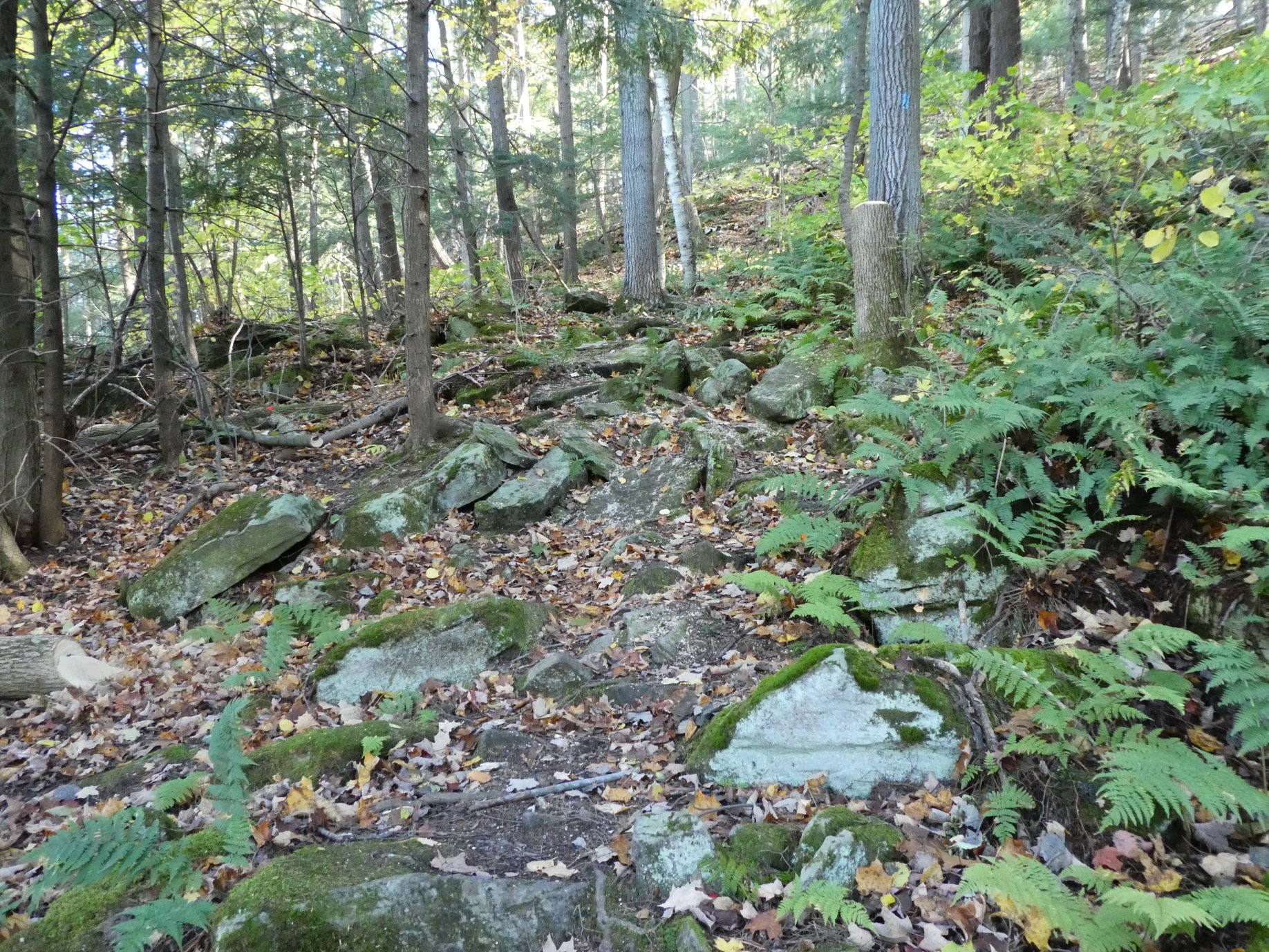
Meeting roadside on Fallbrook Trail at Silver Creek Conservation Area, we will hike the Irwin Quarry Side Trail to the main trail and to Tenth Line. We will then hike in and back on the Walking Fern Side Trail. A challenging trail for footwork but is well worth it. Then it’s back up the main trail to the Roberts Side Trail to the cars. This hike has some crazy rocky spots and a few hilly bits. Come with water and a snack and bug spray.Forks of the Credit
https://hikes.brucetrail.org/event/forks-of-the-credit-3/Sorry, the registration cut-off time for this hike has been reached.Not a member? Click here to join today!Hosting Club: Caledon Hills
Category: Tuesday Hikers
Location (Google Maps): Mississauga Rd. intersection with Elora-Cataract Trailway.
Driving direction: From Highway 401, north on Mississauga Rd., pass through Belfountain village, after crossing Cataract Rd. and Elora-Cataract Trailway, park on either side of the road.
Alternate: North on Highway 410, continue on Highway 10, at Caledon Village, left on Charleston Sideroad (24), left on Mississauga Rd., drive 2 km to the roadside parking.Hike Leader(s): Mohammad Shafiq Click here to contact Hike Leader(s)
Pace: Medium – 3 to 4 km/hour
Terrain: Moderate – some hills and/or some poor footing
Distance: 11 kmDescription
Will enter Forks of the Credit Conservation Area using Elora-Cataract Trailway and hike main Bruce Trail, Mill Pond Trail and parts of conservation trails.
Bring water and snack; poles are recommended.
Bugs spray and sunscreen are useful.
Optional refreshment stop at one of the cafes nearby – more information on the hiking day. - 18June 18, 2025
Benchlands 3-Winery Tour
https://hikes.brucetrail.org/event/benchlands-3-winery-tour/Sorry, the registration cut-off time for this hike has been reached.Not a member? Click here to join today!Hosting Club: Niagara
Category: Loop
Location (Google Maps): Mountainview Conservation Area 4174 Mountainview Rd, Beamsville ON L0R 1B2Hike Leader(s): Erin Lyttle Click here to contact Hike Leader(s)
Pace: Medium
Terrain: Moderate
Distance: 6Description
This is the 3rd hike required for the Benchlands Badge-Wineries of the Beamsville Bench. Meet at Mountainview conservation area and we will hike to several wineries in the Bench, there will be some road hiking during which time it may be required that we hike single file facing traffic.If you are working on your Side trail badge, this hike will feature: Angel’s gate side trail and the Beamsville Bench side trail. The Mountainview side trail will be very near our parking location if you would like to complete that as well.
Do note if you are working on the Benchlands or Side Trails badges there are photo requirements, please bring a camera with you.
After the hike while you are in the area feel free to enjoy Mountainview Conservation area or any of the wineries in the area now that you’ll know where many of them are located!
THE BMBTC CAKE WALK – Medium Pace
https://hikes.brucetrail.org/event/the-bmbtc-cake-walk-medium-pace-2/Sorry, the registration cut-off time for this hike has been reached.Not a member? Click here to join today!Hosting Club: Blue Mountains
Category: Organized Hike
Location (Google Maps): Tim Hortons, First Street, CollingwoodHike Leader(s): Michael Treuman Click here to contact Hike Leader(s)
Pace: Medium – 3 to 4 km/hr
Terrain: Easy – Mostly flat and usually good footing
Distance: 11.3 kmDescription
Reconnect with Club members and join us on our Picnic Party hikes to celebrate the coming of SUMMER. Both hikes will meet for lunch and cake at km 16.0 to celebrate good times on the trail and kick off the summer/fall schedule!GROUP 1- The Longer hike. Description: We will park on 6/7 Sideroad at km 10.6 and hike to the picnic table at km 16.0 and return. We follow the Transcarioca Friendship Trail for part of this hike along the Bruce Trail. We will meet up with Group #2 at km 16.0 at the picnic table to share some delicious cake. Bring lunch and water. We provide the cake!
WEDNESDAY WALKERS -Kolapore to Metcalfe
https://hikes.brucetrail.org/event/wednesday-walkers-kolapore-to-metcalfe-2/Sorry, the registration cut-off time for this hike has been reached.Not a member? Click here to join today!Hosting Club: Beaver Valley
Location (Google Maps): Meet in the Metcalfe Rock parking lot, just south of km 27.9, Map 25, Edition 31
Hike Leader(s): Margaret Yaraskavitch Click here to contact the hike leader.
Pace: Medium
Terrain: Moderate
Length of Hike: 5.5kmsDescription
We will meet in the Metcalfe Rock parking lot and then arrange ourselves to shuttle to the Kolapore Parking lot. The hike starts by getting some road walking out of the way. Then it’s a varied walk past pasture/field/meadow, through cedar stands and under deciduous forest canopy to the base of Metcalfe Rock. Please bring water and a snack.- Arrive 15 minutes before the start of the hike.
- Wear sturdy footwear and appropriate attire for the weather and the terrain.
Hiking poles are a good idea in any season, especially if the terrain is rocky or slippery. In winter, snowshoes or icers/crampons are needed when conditions dictate.
Wearing appropriate clothing and footwear prevents injuries and shows consideration for a safe and positive group hiking experience. - Always carry I.D. and your health card.
- Bring sufficient water and snacks (or lunch if indicated). A minimum of 1L of water is recommended on all hikes, and 3L is recommended for long, challenging hikes in the heat of the summer.
- Bring sunscreen and insect repellent (for spring and summer hikes).
- Bring your own first aid kit.
- Please leave dogs at home.
Rosie's Cake Walk --Leisurely Pace
https://hikes.brucetrail.org/event/rosies-cake-walk-leisurely-pace/Sorry, the registration cut-off time for this hike has been reached.Not a member? Click here to join today!Hosting Club: Blue Mountains
Category: Organized Hike
Location (Google Maps): Tim Hortons, First Street, CollingwoodHike Leader(s): Flo Kusiak Click here to contact Hike Leader(s)
Pace: Leisurely – 3 km/hr. or less
Terrain: Easy – Mostly flat and usually good footing
Distance: 4 kmDescription
The Shorter Hike Description: We will drive to km 14.1 on 9/10 Sideroad and park cars to begin the hike. We will hike north to km 16 and meet up at the picnic table with the other group who will be doing a longer hike. After lunch, we will retrace our steps back to the cars. Please bring lunch and water. We provide the cake!!
Scotsdale Farm the Easy Way
https://hikes.brucetrail.org/event/scotsdale-farm-the-easy-way-3/Sorry, the registration cut-off time for this hike has been reached.Not a member? Click here to join today!Hosting Club: Iroquoia
Category: Good Companions
Location (Google Maps): Scottsdale Farm, 13807 Trafalgar Rd.Hike Leader(s): Anne Armstrong Click here to contact Hike Leader(s)
Pace: Leisurely – 3km/hr or less
Terrain: Easy – Mostly flat and usually good footing
Distance: Approx. 9 km.Description
Please join in this pleasant area for hiking in one of my favourite spots. We will use blue side trails to explore this heritage farm with its early history and visit Bruce Trail’s lovely Roberts Side Trail with a delightful pond and hopefully still surrounded by yellow iris. Meet in the main parking lot at 9:45 am. for a 10:00 am. start. Bring water, a snack, sunscreen and insect repellent. Walking poles might be useful. I will send out a message the night before with my contact information. - 19June 19, 2025
8:00 am Long HikeCave Spring Conservation Area
https://hikes.brucetrail.org/event/800-am-long-hike-glen-road-jordan-new-time-8/Sorry, the registration cut-off time for this hike has been reached.Not a member? Click here to join today!Hosting Club: Niagara
Location (Google Maps): Cave Spring Conservation Area
Hike Leader(s): Alan Laver Click here to contact Hike Leader(s)
Pace: Medium
Terrain: Moderate
Distance: 10kDescription
This will be our permanent Thursday Location until Bridge repairs complete. From Cave Spring Conservation Area explore the trail network on the escarpment towards Kinsman Park and Moyer Road.You must register for each hike. Bring Poles, snack bug spray, sunscreen and a drink. Dress for the weather
Caledon End to End Stained Glass Fundraiser Badge
https://hikes.brucetrail.org/event/caledon-end-to-end-stained-glass-fundraiser-badge/Sorry, the registration cut-off time for this hike has been reached.Not a member? Click here to join today!This is a Multi-Day Hike
You are signing up for the following dates:
2025-06-19, 2025-06-20, 2025-06-26, 2025-06-27Hosting Club: Caledon Hills, Beaver Valley
Location (Google Maps): First hike meets on the southwest shoulder of Willoughby Rd & Escarpment Sideroad, km 15.9, Map15, Edition 31 BTC Guidebook, N 43.831244, W 79.980588
Hike Leader(s): Glenda Collings Click here to contact the hike leader.
Pace: Medium
Terrain: Moderate, Some steep sections
Length of Hike: 15.9 km + approx. 2 km to walk to parking on Boston Mills RoadDescription
Join us for a set of four hikes in the Caledon BTC section to earn the Stained Glass fundraiser badge. The medium hike pace will range between 3 to 4 km per hour, sometimes a bit more than 4 km per hour on easy flat terrain, with a snack and lunch break. Hikers may request a personal bio break, clothing adjustment, drink stop, etc. at any time during the hike by notifying the leader or sweep. The hikes range from approx. 18 to 19.5 km. Please self evaluate your ability to manage the pace and length of these hikes. Life does happen, so hikers will be able to miss one hike and make it up on their own before June 27. A full hike schedule, with meet locations, will be sent to hikers after registration. If you have any questions please use the “Contact hike leader” option on the online schedule.Urban Walk: Valley View Park Thornhill
https://hikes.brucetrail.org/event/urban-walk-valley-view-park-thornhill-85/Sorry, the registration cut-off time for this hike has been reached.Not a member? Click here to join today!Hosting Club: Toronto
Category: Urban Walk
Location (Google Maps): Parking lot is inside Sycamore Drive East of Bayview , across Starbucks plazaHike Leader(s): Mohammad Aghamiri Click here to contact Hike Leader(s)
Pace: Moderate (3-4 km/hr)
Terrain: Hilly, Level 2 (Intermediate – some hills and uneven surfaces, rocks and roots underfoot)
Distance: 6-8 kmDescription
We will explore Valleyview and Maple View parks, and walk along German Mill Creak, in return we stop in Huntington park and have snack under beautiful shed ,Even it is considered Urban walk, it is urban hike as we have some up and down hills and tree roots, please bring your hiking poles, water and snacks,
phone number for the day of hike 289 588 6482

Orchids, Wildflowers and Ferns – Petrel Point Nature Reserve
https://hikes.brucetrail.org/event/orchids-wildflowers-and-ferns-petrel-point-nature-reserve/Sorry, the registration cut-off time for this hike has been reached.Not a member? Click here to join today!Hosting Club: Peninsula
Category: Botany Hike
Location (Google Maps): Petrel Point Nature Reserve.
Driving Directions: From Highway 6, turn west at the town of Mar on Red Bay Road. Drive along Red Bay Road to its end at Huron road. Drive north on Huron Road roughly three kilometres, then turn left (west) onto Petrel Point Road. Petrel Point Road divides the northern and southern halves of the reserve. Roadside parking at Trail Entrance. Please park only on the north side of the road.44.814110, -81.289598Hike Leader(s): Marg Glendon Click here to contact Hike Leader(s)
Pace: Leisurely (2.0 – 3.0 km/h): A relaxed pace with frequent breaks and a focus on enjoyment.
Terrain: Easy: Flat forested sections or lowland trails.
Distance: ~2 1/2 kmDescription
Explore Nature’s Garden of Wildflowers and Orchids with Nature Conservancy of Canada’s (NCC) Coordinator, Conservation Biologist, Lindsay Notzl and Assistant Conservation Biologist, Alex Duszczyszyn at the Petrel Point Nature Reserve on Thursday, June 19th.This pretty nature reserve managed by Ontario Nature is home to many native wildflowers, orchids, ferns and carnivorous plants. Due to the unique conditions in this Great Lakes Coastal Meadow Marsh, special plants have adapted to live in this environment. Learn about the characteristics of this ecosystem and how these plants depend on it for survival.
Several orchid and fern species thrive here. During this hike you will learn about orchid viewing etiquette, definition of an orchid and our responsibility to protect them. Orchids and ferns observed on this hike, will qualify toward earning the PBTC Orchid Badge and PBTC Fern Badge: https://pbtc.ca/badges/.
This “walk-stop-talk” hike is a loop hike which meanders through the nature reserve on terrain which is generally flat, mostly boardwalk with some natural, uneven forest hiking trail. Boardwalks can be slippery when wet. Be prepared to walk approximately 2 km. Hike duration will be about 1 ½ -2 hours.
Please bring a light back pack with snacks and water. Wear a hat, long-sleeved sun protective clothing, and sturdy hiking boots. Be prepared for flying insects – bring a net hat and insect repellent.
Bring a hand lens if you have one, binoculars and/or a camera are useful too. If planning to post photos or using your I-Naturalist app, please turn off your location identifiers.
If you have reference sheets or books – bring them along. An excellent local reference is the Orchids of Bruce Grey available through Owen Sound Field Naturalists. You may also want to view the BTC webinar Spring Ephemerals: https://brucetrail.org/events/#webinars .
If you wish to linger longer, there are a few benches placed along the boardwalk.
Thank you to Ontario Nature for protecting this beautiful nature reserve. Thank you to the NCC Staff – Lindsay and Alex for sharing their knowledge and expertise with us!
Note: There are no bathroom facilities at this location.
Hiking in and around Jordan and Balls Falls
https://hikes.brucetrail.org/event/hiking-in-and-around-jordan-and-balls-falls-3/Sorry, the registration cut-off time for this hike has been reached.Not a member? Click here to join today!Hosting Club: Niagara
Location (Google Maps):
New Location – Parking Lot on Glen Road, Jordan
Hike Leader(s): Bill Russell Click here to contact Hike Leader(s)
Pace: Medium
Terrain: Moderate
Distance: 6-7 kmDescription
Hiking from Glen Road and following Jim Rainforth Trail and trails to Balls Falls and Bailey Bridge.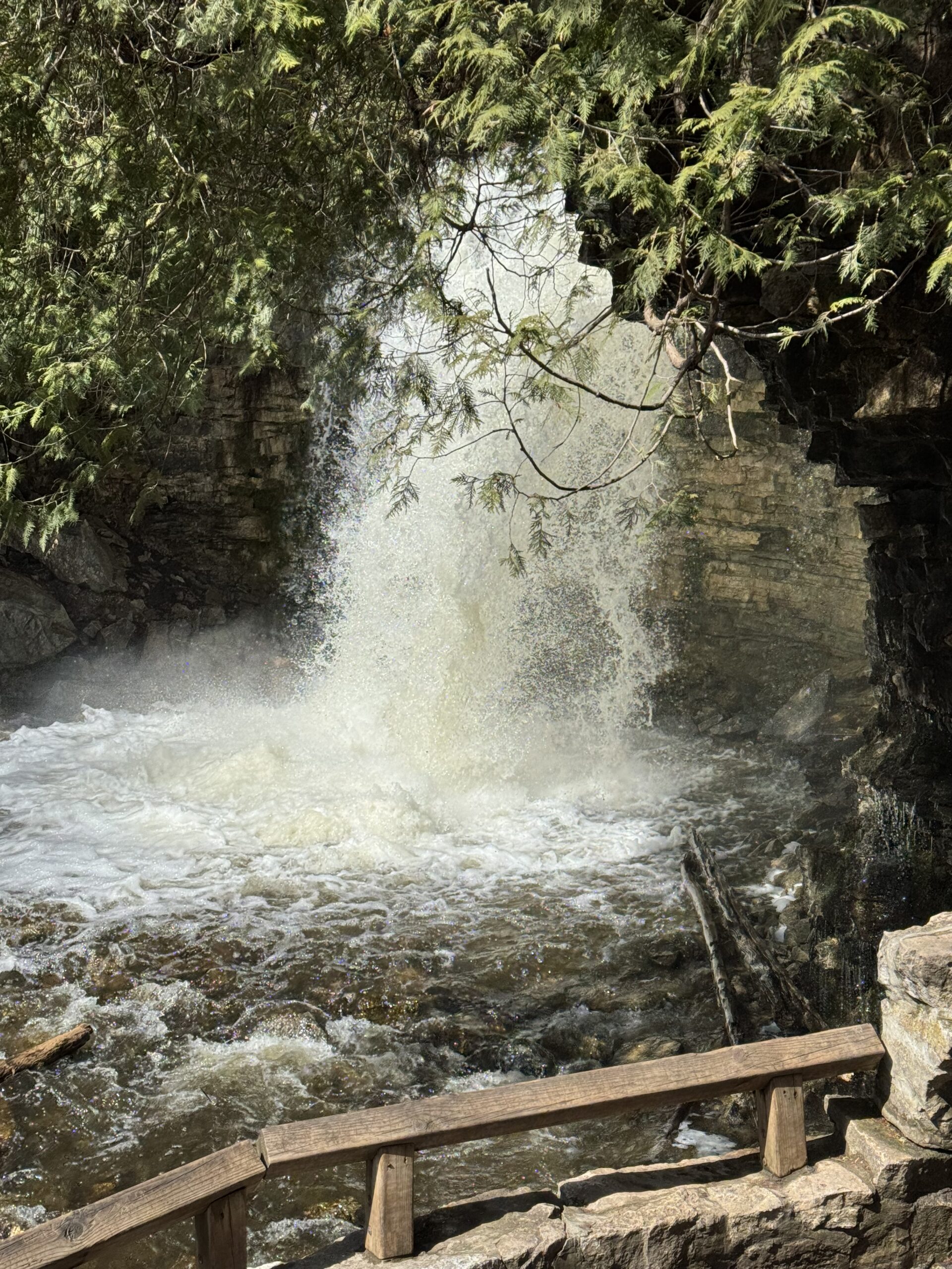
Hilton Falls A New Way
https://hikes.brucetrail.org/event/hilton-falls-a-new-way/Sorry, the registration cut-off time for this hike has been reached.Not a member? Click here to join today!Hosting Club: Iroquoia
Category: Thursday Group
Location (Google Maps): Hilton Falls Conservation Area. 4985 Campbellville Rd. MiltonHike Leader(s): Anne Armstrong Click here to contact Hike Leader(s)
Pace: Leisurely – 3km/hr or less
Terrain: Moderate – Some hills and/or some poor footing
Distance: Approx. 9 – 10 km.Description
Always a favourite place to visit we will hike to the falls and beyond up into the Halton Agreement Forest where we will see some lovely wetlands and travel some trails not always used by hikers. Meet in the main parking lot at Hilton Falls CA. You will need to make a reservation ahead of time so there won’t be any delays at the gate. It’s also cheaper.. Bring water, a snack, sunscreen and insect repellent. Expect some rocky terrain in some areas.Leader: Anne Armstrong

Toronto Islands Evening Walk ** CANCELLED **
https://hikes.brucetrail.org/event/urban-walk-toronto-islands-evening-walk-17/Sorry, the registration cut-off time for this hike has been reached.Not a member? Click here to join today!Hosting Club: Toronto
Location (Google Maps):
Jack Layton Ferry Terminal, near the gates to Wards Island Ferry. Arrive 20 minutes prior to departure to check in with hike leader.
From Union Station take the LRT and get off at the stop Ferry Docks.Walk up to the Ferry Docks on Queens Quay West, street level. at the foot of Bay Street.
Hike Leader(s): Miriam Stevens Click here to contact Hike Leader(s)
Pace: Leisurely (2-3 km/hr)
Terrain: Flat
Distance: 6-9 kmDescription
** This evening’s Toronto Island walk is canceled due to high probability of precipitation **After a day’s work come and “cool off” on the Toronto Islands free of fumes and traffic. Enjoy the view of the city skyline and Toronto’s beautiful island parkland.
Pack a dinner for a sit down picnic. Also bring a warm jacket and flashlight.
Return fare ticket for the ferry is $9.11 for adults, $5.86 for seniors
Hikes will take place rain or shine. If the weather is particularly inclement the day of the hike please check the hike schedule by 10:00 AM for an update.
Toronto Island evening hikes will take place every Thursday in May and June 2025.
Same time and same meeting place. No preregistration is required – just show up at the ferry docks at 5:40 PM and sign in with the hike leader. - 20June 20, 2025
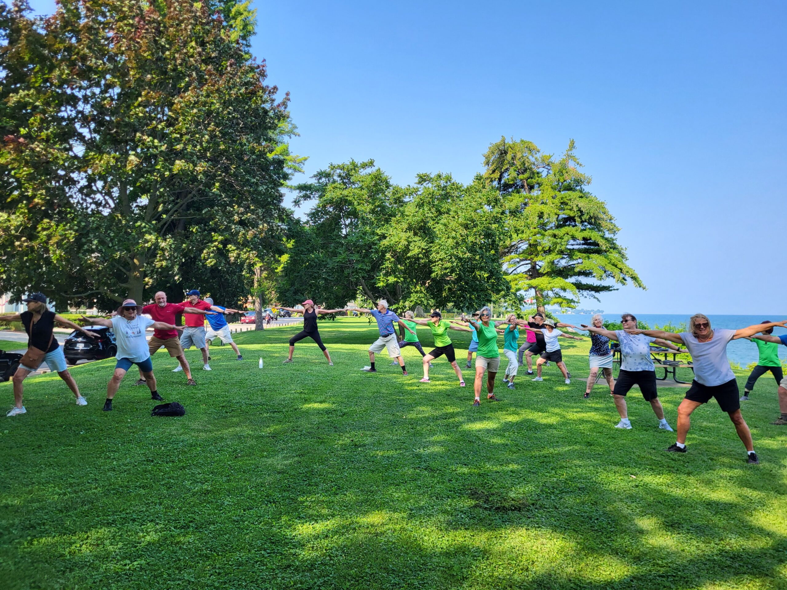
9:00 am Niagara on the Lake Tour & Some Yoga
https://hikes.brucetrail.org/event/900-am-niagara-on-the-lake-tour-some-yoga/Sorry, the registration cut-off time for this hike has been reached.Not a member? Click here to join today!Hosting Club: Niagara
Category: Urban
Location (Google Maps):Veteran’s Memorial Park, park just outside the park on King St.
Hike Leader(s): Robin Garrett Click here to contact Hike Leader(s)
Pace: Medium
Terrain: Easy
Distance: 6 kmDescription
Enjoy the benefits of pausing for a yoga practice as we tour through the trails, parkland and Historic Niagara-on-the-Lake. No mat required. Movement will focus on a flow of standing poses designed especially for hikers. Plan to stay for conversation and a warm cup of coffee or tea at Sweets & Swirls, Community Centre, Niagara Stone Road, NOTL.Bayview Escarpment Provincial Nature Reserve
https://hikes.brucetrail.org/event/bayview-escarpment-provincial-nature-reserve/Sorry, the registration cut-off time for this hike has been reached.Not a member? Click here to join today!Hosting Club: Sydenham
Category: General Hike
Location (Google Maps): Meet in the north-east corner of the parking lot at Home Depot on Highway 26 on the east side of Owen Sound.Hike Leader(s): Ian Mills
Pace: Medium: 3 to 4 km/h
Terrain: Moderate: Some hills and/or poor footing, There might be muddy sections., There might be sections with water on the trail.
Distance: 12 kmDescription
We will loop along the Main Trail through Bayview Escarpment Provincial Nature Reserve starting at 52.7 km to 44.6 km then follow the River Kwai Side Trail to return to our starting point via a short section along the Main Trail – BTC Map # 30. Pack a lunch and bring proper hiking shoes. We will be hiking at least 3 hours plus our lunch break.
Solstice Ice Cream Walk
https://hikes.brucetrail.org/event/solstice-ice-cream-walk/Sorry, the registration cut-off time for this hike has been reached.Not a member? Click here to join today!Hosting Club: Iroquoia
Category: General Hike
Location (Google Maps): It is the start of summer!! Meet by 7:15pm for a 7:30 pm departure at the gazebo on the waters edge at Bayfront Park (200 Harbour Front Drive) in Hamilton. We will walk to Princess Point and back and then have the option of having Ice Cream on the nearby hill as the sun sets on the harbour. Bring water, hat and sunglasses. There are picnic tables but I suggest bringing a chair or blanket in case it is busy.Hike Leader(s): Paul Toffoletti Click here to contact Hike Leader(s)
Pace: Medium – 3 to 4 km/hr
Terrain: Easy – Mostly flat and usually good footing
Distance: 6kmDescription
- 21June 21, 2025
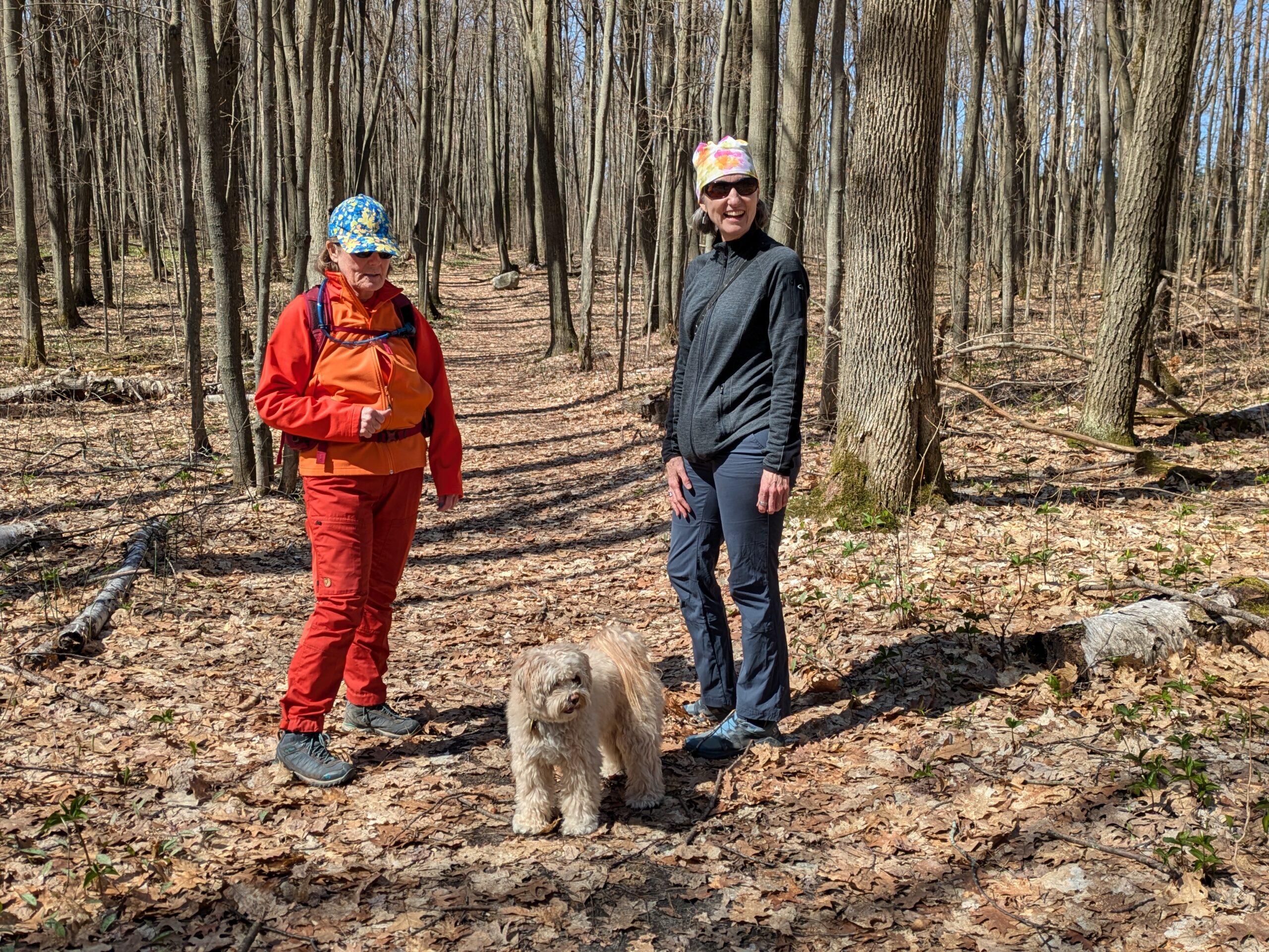
Awenda Provincial Park and Saint-Marie among the Hurons
https://hikes.brucetrail.org/event/awenda-provincial-park-and-saint-marie-among-the-hurons/Sorry, the registration cut-off time for this hike has been reached.Not a member? Click here to join today!Trip Information
Departure Time: 08:00
Return to City Time: 18:30
Departure Point: York Mills Bus PickupOptional Items
Admission to Saint-Marie among the Hurons ($12.00)Hosting Club: Toronto
Category: Bus Hike
Location (Google Maps): Awenda Provincial ParkHike Leader(s): Robin Crombie, George Lennon Click here to contact Hike Leader(s)
Pace: Moderate (3-4 km/hr)
Terrain: Level 2 (Intermediate – some hills and uneven surfaces, rocks and roots underfoot)
Distance: 10-12 kmDescription
June 21st is National Indigenous Peoples’ Day and the summer solstice, the longest day of the year.Join us to celebrate both on this trip to beautiful Awenda Provincial Park, on the shores of Georgian Bay, where we’ll enjoy a lovely circular route, the Bluff Trail, and make a detour down the staircase to the beach for lunch. Afterwards, we’ll make the short drive to Saint-Marie among the Hurons, an historic site and Huronia education centre. Hikers are welcome to take a self-guided tour and also take advantage of special National Indigenous Peoples’ Day programming: Legends of Lacrosse. See the website for more information on timed presentations and skills sessions. https://saintemarieamongthehurons.on.ca/
In advance of our visit, Saint-Marie is also offering a full day of free online Indigenous-led learning on Friday, June 20. Register early and log in on June 20 to view videos live or on demand through until June 30.
Admission to Saint-Marie is a flat $12 each. Payment will be collected on the bus (exact change please) or if you’d like to save time, you can purchase your ticket online.
Car Hike: Boyd Conservation Park Vaughan
https://hikes.brucetrail.org/event/car-hike-boyd-conservation-park-vaughan-7/Sorry, the registration cut-off time for this hike has been reached.Not a member? Click here to join today!Hosting Club: Toronto
Category: Car Hike
Location (Google Maps): Free parking lot before main entrance of parkHike Leader(s): Mohammad Aghamiri Click here to contact Hike Leader(s)
Pace: Moderate (3-4 km/hr)
Terrain: Hilly, Level 2 (Intermediate – some hills and uneven surfaces, rocks and roots underfoot)
Distance: 12-14 kmDescription
Let’s hike Boyd conservation park trails through beautiful valleys.Please bring lots of water and snacks ,hiking poles are recommended
phone number for the day of hike 289 588 6482

9:00 am Celebrate the Summer Solstice with Tai Chi at Woodend
https://hikes.brucetrail.org/event/900-am-celebrate-the-summer-solstice-with-tai-chi-at-woodend/Sorry, the registration cut-off time for this hike has been reached.Not a member? Click here to join today!Hosting Club: Niagara
Category: Loop
Location (Google Maps):Woodend Conservation Area – km 15.5; Enter from Taylor Rd., 140 north of Warner Rd.
Hike Leader(s): Karen Couch Click here to contact Hike Leader(s)
Pace: Medium
Terrain: Moderate
Distance: 6 kmDescription
Make the most of the first full day of summer 2025 ! Join in a hike that includes intermittent simple Tai Chi movement breaks led by Mike VanNatter.Hydration, sunscreen, insect deterrent(s), and/or hiking poles are recommended, depending on the conditions.
Monument Hill
https://hikes.brucetrail.org/event/monument-hill-2/Sorry, the registration cut-off time for this hike has been reached.Not a member? Click here to join today!Hosting Club: Blue Mountains
Category: Organized Hike
Location (Google Maps): Tim Horton’s, First Street, CollingwoodHike Leader(s): David Little
Pace: Medium – 3 to 4 km/hr
Terrain: Moderate – Some hills and/or some poor footing
Distance: 9 kmsDescription
This is a loop trail located near Wasaga Beach. Lots of hills and options to
take. This will be an exploration of some new trails to hike! Be prepared to explore the
variety within this hike. Bring a snack or lunch and water.
RAINBOW PRIDE HIKE: Downtown Dundas to Dundas Peak/Spencer Gorge
https://hikes.brucetrail.org/event/rainbow-hike-downtown-dundas-to-dundas-peak-spencer-gorge/Sorry, the registration cut-off time for this hike has been reached.Not a member? Click here to join today!Hosting Club: Iroquoia
Category: Rainbow Hike
Location (Google Maps): We’ll meet in the parking lot at Shawn & Ed’s Craft Brewery, 65 Hatt St., DundasHike Leader(s): Doug O’Neill Click here to contact Hike Leader(s)
Pace: Medium – 3 to 4 km/hr
Terrain: Moderate – Some hills and/or some poor footing
Distance: 10 kms (with optional 3 km extension to Webster’s Falls)Description
Join us for a Pride Hike!Come by car or HSR transit for this all-inclusive/LGBTQ-friendly hike from downtown Dundas to the top of Dundas Peak/Spencer Gorge with time to explore both Tew and, possibly, Webster’s Falls. FYI: Dundas Peak is an estimated 340 metres (1,100 feet) above sea level. Awesome views.
We’ll rendezvous no later than 9:20 a.m. beside the parking lot at Ed & Shawn’s Brewery (65 Hatt St., off Sydenham.) Look for me in olive-green Bruce Trail cap near the benches outside the TD Bank (far end of the parking lot). Bonus for drivers: Parking is free in Dundas on Saturdays.
Tip: If you arrive early or need to use the loo before hiking, Starbucks (45 King St. W., downtown Dundas) is a 2-minute walk around the corner from parking lot.
Coming by bus? There are two options: 05-HEAD STREET via DOWNTOWN DUNDAS and 5B -PIRIE AT GOVERNORS, depending where you are coming from. Ensure you arrive no later than 9:20 a.m.)
Bus fares: $2.50-3.50.
The hike: From the parking lot at Ed and Shawn’s Brewery, we’ll head up Sydenham Street to Cascade Park and follow the Tew Fall Lookout Trail all the way up to the top of the escarpment, with stops at the Dundas Peak and Tew Falls lookouts.
You have two options of hike lengths: For those who would like to hike an extra 3 km to Webster Falls and back (1.5 km each way), we’ll do so via Harvest Road & Short Road, and have lunch at Webster’s Falls (for a 13 km hike). Your other option is to explore longer and have your lunch at Tew Falls. The “Webster’s” group will rejoin you on their way back.
We’ll partially retrace our route back along the top of the peak with a detour via Glen Ferguson Trail before we head back down to Dundas, where we can reward ourselves with a pint or other post-hike beverage. It’ll be relatively easy to take one of two bus routes to return to downtown Hamilton.
Please bring at least 2 litres of water, energizing snacks and lunch. Don’t forget sunscreen and insect repellent. Hiking boots or sturdy footwear are recommended—as well a cap.
Complimentary Bruce Trail Rainbow badges and/or stickers to all participants! Email any questions to the Hike Leader – “Click here to contact Hike Leader” on this form.
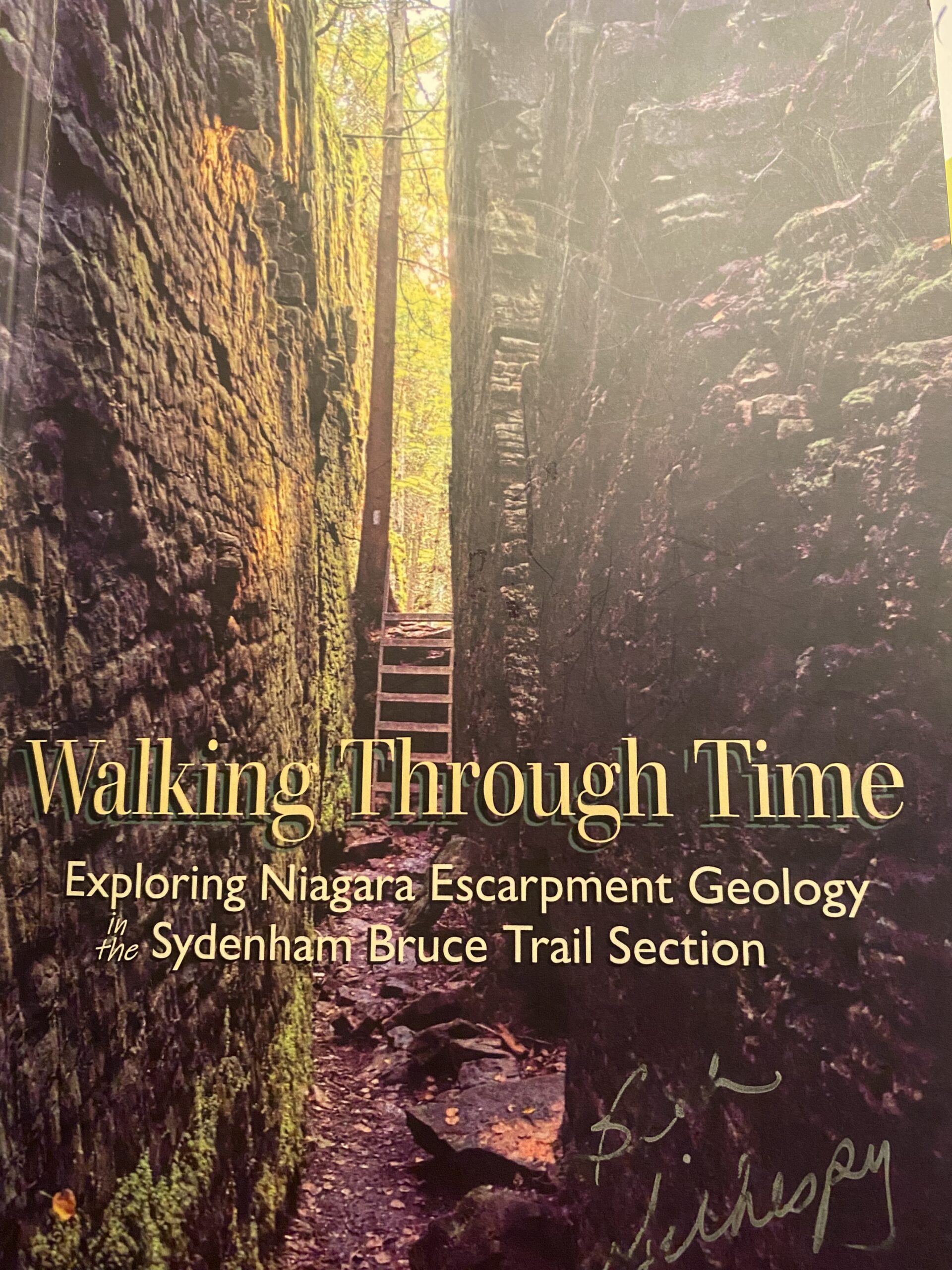
Geology Hike # 12 Bass Lake loop
https://hikes.brucetrail.org/event/geology-hike-12-bass-lake-loop/Sorry, the registration cut-off time for this hike has been reached.Not a member? Click here to join today!Hosting Club: Sydenham
Category: Geology Hike
Location (Google Maps): Meet and carpool at the Kemble Arena, 319897 Kemble Rock Road, Kemble. We will drive a short distance to the trailhead.Hike Leader(s): Carol Graham-Mullin Click here to contact Hike Leader(s)
Pace: Leisurely: 3 km/h or less
Terrain: Easy: Mostly flat and good footing., Moderate: Some hills and/or poor footing, Strenuous: Hilly with steep climbs and some poor footing.
Distance: 3.8 kmDescription
This hike is Geology Hike # 12 following Beth Gilhespy’s book, “Walking Through Time Exploring Niagara Escarpment Geology in the Sydenham Section”. During this hike you will observe three fascinating layers of the Niagara Escarpment along with prime examples of cambering, crevices and fossils. The open view over Bass Lake at the halfway point is the perfect stop for our snack lunch.The hike leader may add in an OPTIONAL short hike to Indian Falls (Geo Hike # 8) at the end of this hike if it has been re-opened by The Grey Sauble Conservation Authority.. This will be decided on the day of the hike and dependent on the trail conditions.
Please bring water, snacks and poles as needed. The hike leader will have copies of Beth Gilhespy’s book for sale (cash, cheque or e-transfer). A Sydenham Bruce Trail Geology Badge has been developed. Details can be shared from hike leader during hike.
Mono Cliffs, Map 19
https://hikes.brucetrail.org/event/car-hike-mono-cliffs-map-19-2/Sorry, the registration cut-off time for this hike has been reached.Not a member? Click here to join today!Hosting Club: Toronto
Category: Car Hike
Location (Google Maps): Mono Cliffs Provincial Park, Map 19Hike Leader(s): Al Brown Click here to contact Hike Leader(s)
Pace: Moderate (3-4 km/hr)
Terrain: Variable
Distance: 14 kmDescription
We will revisit Mono Cliffs PP for another moderate hike. The trail is mostly flat with rolling terrain and a few small hills. About half the hike will be under forest canopy.After the hike we will stop in the local area for refreshments.
To get to the meeting point drive north on Hwy 10 past Orangeville to County Road 8 (Mono Centre Road). Turn right and go about 8 km to Mono Centre. Look for a tennis court on your right. Just before it is the entrance into a parking area where we will meet and start the hike.
Summer Solstice Festival - National Indigenous Peoples Day Water Walk
https://hikes.brucetrail.org/event/summer-solstice-festival-national-indigenous-peoples-day-water-walk/Sorry, the registration cut-off time for this hike has been reached.Not a member? Click here to join today!Hike open to BTC Members only.
Hosting Club: Dufferin Hi-Land
Category: Special Events
Location (Google Maps): Pine River Nature Reserve: 15th Side Road and 2nd Line West Mulmur, Ontario. 597300 2nd Line West Mulmur, Ontario L9V 0B4. 44.168704, -80.174279 Google Maps.Hike Leader(s): N/A
Pace: Leisurely
Terrain: Dependent on Conditions, Slippery Sections Likely, Moderate
Distance: 4 kmsDescription
Doug Doolittle, an Indigenous educator of the Mohawk nation and Bear Clan, will lead a 2-3 hour easy paced walk through the Pine River Nature Reserve. Following a smudging ceremony Doug will talk about Indigenous peoples’ sacred connection with water. Doug will walk us through the nature reserve and identify plants and their medicinal uses. Please bring your own drinking water and if available a hand drum of any kind. Please note that this event is an easy walk rather than a hike. A certified hike leader will not be present.Event co-ordinator: John Dickason, jdickason@dufferinbrucetrailclub.org

Urban Walk: Black Creek Trail
https://hikes.brucetrail.org/event/urban-walk-black-creek-trail/Sorry, the registration cut-off time for this hike has been reached.Not a member? Click here to join today!Hosting Club: Toronto
Category: Urban Walk
Location (Google Maps): CanadaHike Leader(s): Brian Rideout Click here to contact Hike Leader(s)
Pace: Moderate (3-4 km/hr)
Terrain: Flat, Level 2 (Intermediate – some hills and uneven surfaces, rocks and roots underfoot)
Distance: 10.2 kmDescription
Please join me at the south entrance of Pioneer Village subway station at York University by 10 AM. We will hike south south on Black Creek Trail to Sheppard. Here is an online map https://onthegomap.com/s/7kn33a91Please make sure you bring at least 2 liters of water, a lunch, bug spray and sunscreen.
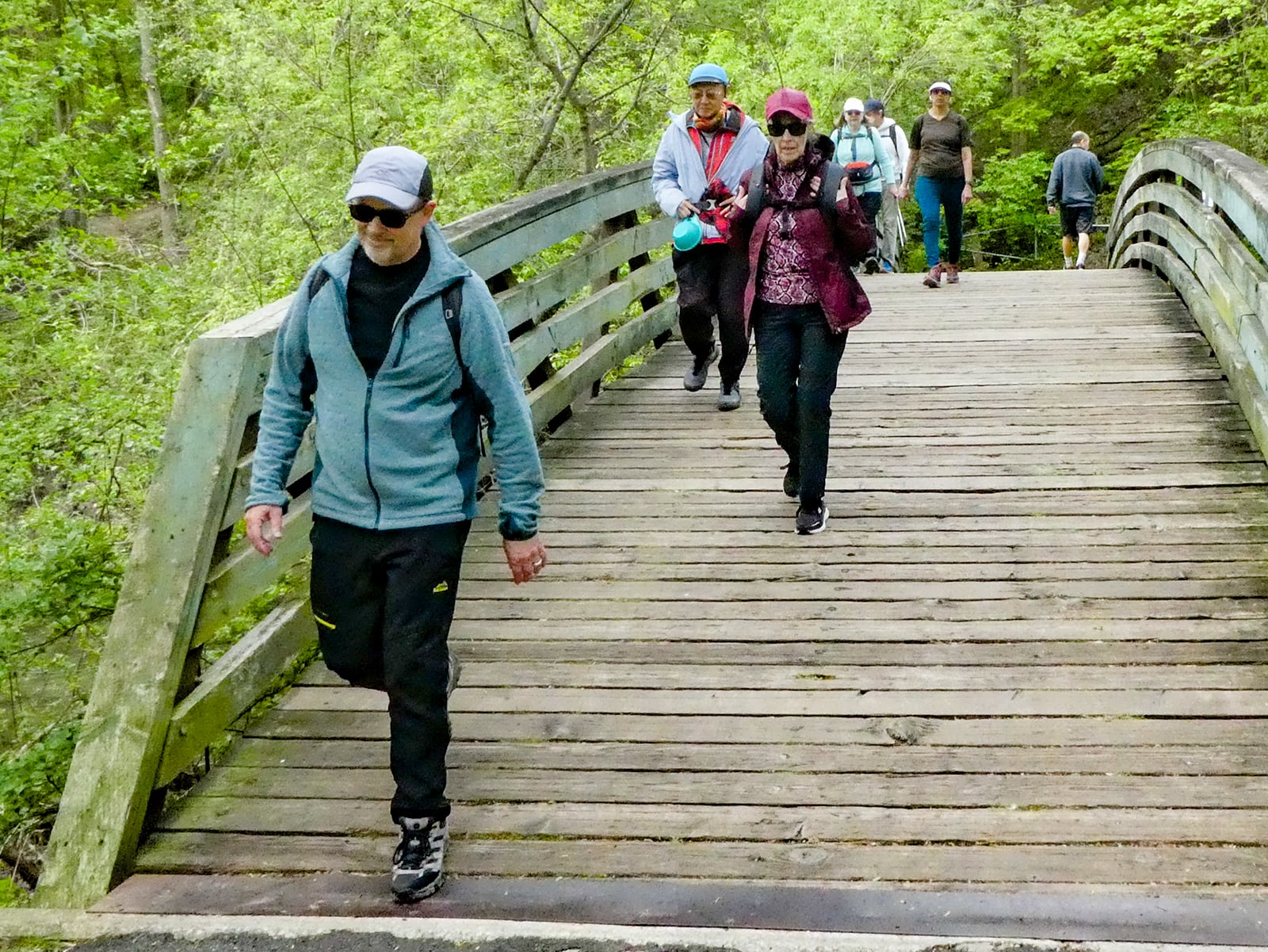
Urban Walk: Don Valley to The Distillery District
https://hikes.brucetrail.org/event/urban-walk-don-valley-to-the-distillery-district-3/Sorry, the registration cut-off time for this hike has been reached.Not a member? Click here to join today!Hosting Club: Toronto
Category: Cancelled
Location (Google Maps): Don River – Steeles to Distillery DistrictHike Leader(s): Brian Rideout Click here to contact Hike Leader(s)
Terrain: Flat
Distance: 27.5 kmDescription
Regrettably this hike is cancelled and will be rescheduled in the fall.This hike follows the Don River south from Steeles Ave East at Leslie St through Toronto to the Distillery District, through a series of ravines and several parks. We will detour to street level when we cross the 401 (trail closed due to construction) and again south of Pottery Rd where we take the Bayview Ave Extension (trail closed due to construction). Those who register will receive an itinerary.
Please bring a lunch and at least two liters of water. Be prepared for cool / wet weather. Pub stop after at The Spaghetti Factory.
Here is an online map of our route: Don Valley to The Distillery
"Dipping Your Toes" into Forest Bathing on the Summer Solstice
https://hikes.brucetrail.org/event/dipping-your-toes-into-forest-bathing-on-the-summer-solstice/Sorry, the registration cut-off time for this hike has been reached.Not a member? Click here to join today!Hosting Club: Dufferin Hi-Land
Category: Nature Walks
Location (Google Maps): Dufferin Hi-Land section, BTC Reference Guide, Map 20. Meet at the dead end of 2nd Line East (west of main trail km 24.3)Hike Leader(s): Janice McClelland Click here to contact Hike Leader(s)
Pace: Leisurely – 3 km/hour or less
Terrain: Moderate – some hills and/or some poor footing
Distance: 5.5 kmDescription
We invite you to join us on this Forest Bathing walk where we especially welcome newcomers to hiking and/or Forest Bathing, as part of the Dufferin Hi-Land Bruce Trail Club Summer Solstice weekend. Forest Bathing is simply walking quietly along the footpath and letting nature sink into your senses. The soft gurgling of Oliver Creek, the songs of birds and the dappled light of the forest will give you peace. We will observe quiet during our walk, with plenty of time to chat and get to know each other before the walk, during our lunch break along the trail and after the walk. Please bring water & lunch. “Dip your toes into Forest Bathing!”
Learn to Identify Flora and Fauna
https://hikes.brucetrail.org/event/learn-to-identify-flora-and-fauna/Sorry, the registration cut-off time for this hike has been reached.Not a member? Click here to join today!Hosting Club: Dufferin Hi-Land
Category: Special Events
Location (Google Maps): Meet at Prince of Wales and 15 Sideroad.Hike Leader(s): Tom Thayer Click here to contact Hike Leader(s)
Pace: Leisurely
Terrain: Easy, ModerateDescription
Join us for a hike through Pine River Nature Reserve and learn how to use the iNaturalist App to help the Bruce Trail protect endangered/at-risk species, monitor existing species, identify invasive species that need to be removed, and learn about the plans to enhance and enrich biodiversity.Interact with the Bruce Trail Conservancy’s Conservation and Ecology specialists, meet some of our new trail ambassadors, and learn more about how the Dufferin Hi-Land Bruce Trail Club is working with the BTC to provide a sustainable and healthy future for generations to come.
Please Note: You will need a mobile device with the iNaturalist App installed and updated in order to take part in this event. You can download the app from the App Store or Google Play Store. More information about the iNaturalist program is available here: https://brucetrail.org/what-we-do/#iNaturalist
Everyone is welcome, member and non-member alike.
Indigenous Learnings: Medicine Garden Exploring at Albion Hills
https://hikes.brucetrail.org/event/indigenous-learnings-medicine-garden-exploring-at-albion-hills/Sorry, the registration cut-off time for this hike has been reached.Not a member? Click here to join today!Hosting Club: Caledon Hills
Category: General
Location (Google Maps): Albion Hills Conservation Area – meet up at 1:45 PM at Chalet parking, follow well marked signs to Chalet.Hike Leader(s): GG Click here to contact Hike Leader(s)
Pace: Leisurely – 3 km/hour or less, Medium – 3 to 4 km/hour
Terrain: Moderate – some hills and/or some poor footing
Distance: ~8 km (or more depending on interest!)Description
*Updated to afternoon to allow join of water walk in the AM*Looking for an Indigenous learning opportunity? Enjoy a ~6 km walk/hike to the Indigenous Medicine Garden located in the Albion Hills Conservation Park property. We will learn about the history of the medicine garden while we enjoy some trails. Dress for the weather, wear your hikers, pack your personal items, meds, water, snacks. There are washrooms at meet up spot.
We will meet up at 1:45 PM in the parking lot closest to the chalet: Chalet Building, Albion, ON L7E 0M8.
NOTE: The park does have a entry parking fee https://trca.ca/parks/albion-hills-conservation-area/?gad_source=1&gclid=EAIaIQobChMI1bSxteKnigMVzTMIBR0Clxb-EAAYASAAEgICJPD_BwE#park_title_350_5.
Join us as we enjoy, learn and appreciate together.