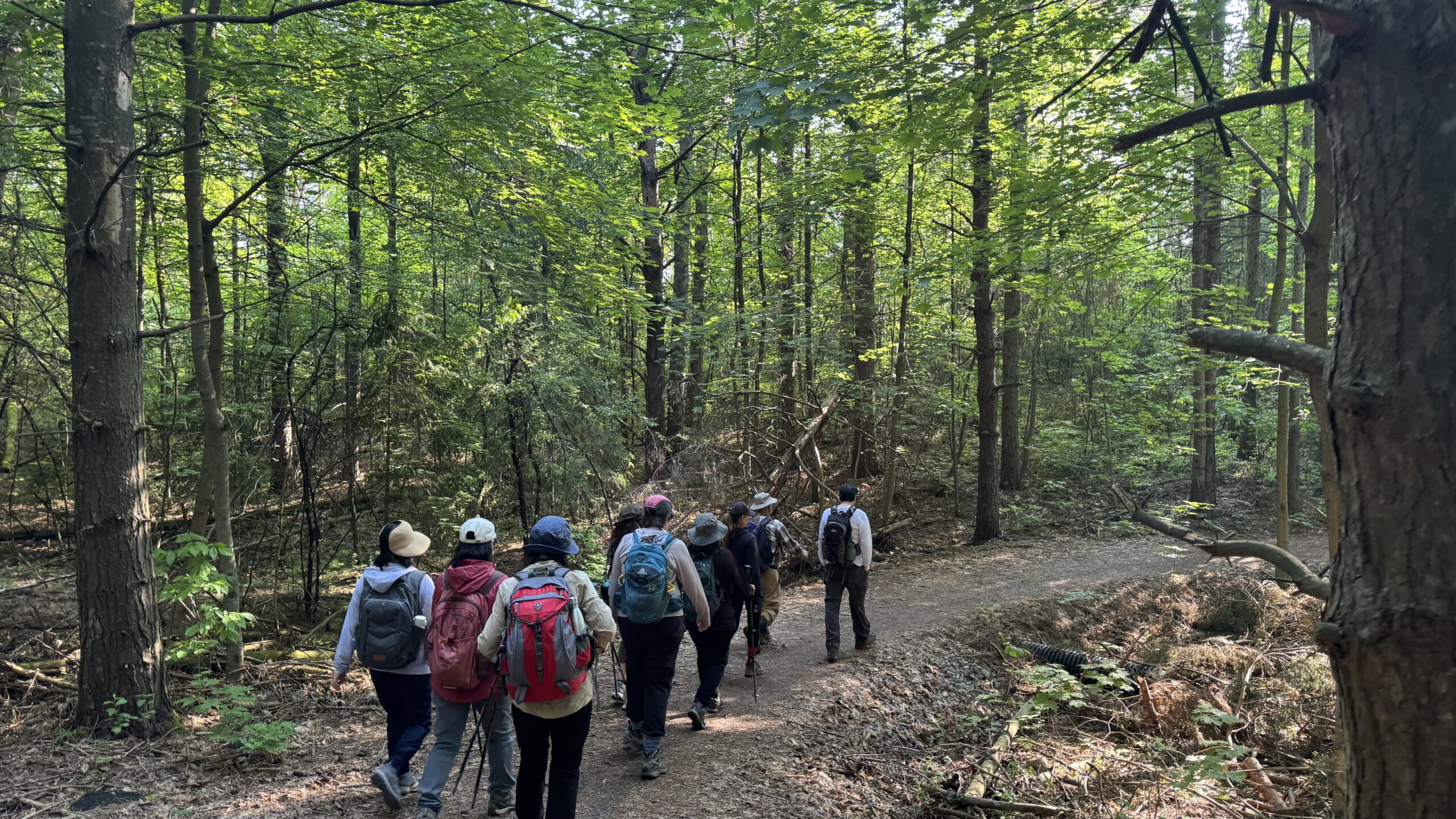
Bus Hike: Mystery Hike

Trip Information Departure Time: 08:30 Return to City Time: 18:00 Departure Point: York Mills Bus Pickup Optional Items Hosting Club: Toronto Category: Bus Hike Location (Google Maps): The location will be revealed the date of the hike. The destination will be within an approximately 90 minute drive from York Mills Station. Hike Leader(s): Tom Swales, Felix … Read more
Urban hike German mills

Hosting Club: Toronto Category: Car Hike Location (Google Maps): Park along Leslie Street Thornhill. Hike Leader(s): Mohammad Aghamiri Click here to contact Hike Leader(s) Pace: Moderate (3-4 km/hr) Terrain: Hilly, Level 2 (Intermediate – some hills and uneven surfaces, rocks and roots underfoot), Variable Distance: 10-12 Description We will hike along German mills Creek ,then we visit  Bestview … Read more

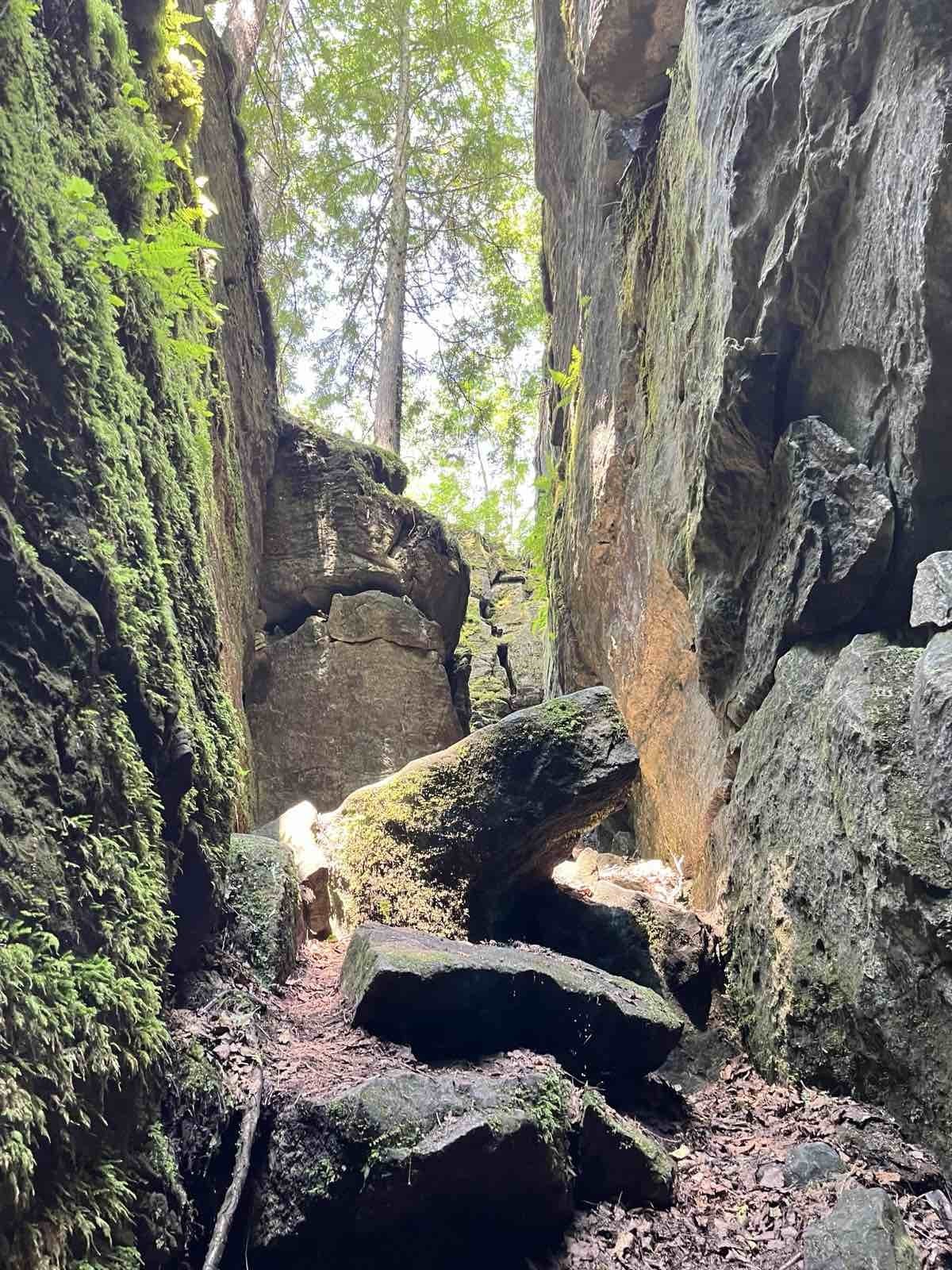
Nottawasaga Lookout Provincial Nature Reserve, Pretty River Valley Provincial Park, Highest Point on the Bruce Trail and Standing Rock and Caves

Hosting Club: Toronto, Blue Mountains Category: Car Hike Location (Google Maps): GPS N:404107, W: 80.263577 Meet at km 42.4, Map 23, Edition 31. Park on the North end of Osprey-Clearview Townline at Eagle Crescent. Hike Leader(s): Ross Estrella (4163056771) Click here to contact Hike Leader(s) Pace: Brisk (4-5 km/hr), Moderate (3-4 km/hr) Terrain: Hilly, Rocky, Variable Distance: 13.4km … Read more

Urban Walk: Toronto Islands Evening Walk

Hosting Club: Toronto Location (Google Maps): Jack Layton Ferry Terminal, near the gates to Wards Island Ferry. Arrive 20 minutes prior to departure to check in with hike leader. From Union Station take the LRT and get off at the stop Ferry Docks.Walk up to the Ferry Docks on Queens Quay West, street level. at … Read more