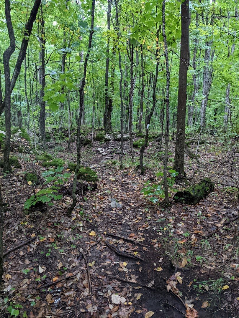
Fitness Hike

Hosting Club: Sydenham Category: Fitness Hike Location (Google Maps): Meet at the entrance to the Massie Hills Ski Trails on the West side of Concession Road 6 South at 08:45h. Hike will start promptly at 9. To get to Massie Ski Trails, head south from Grey Road 18 on Concession 6 South. The trails are … Read more
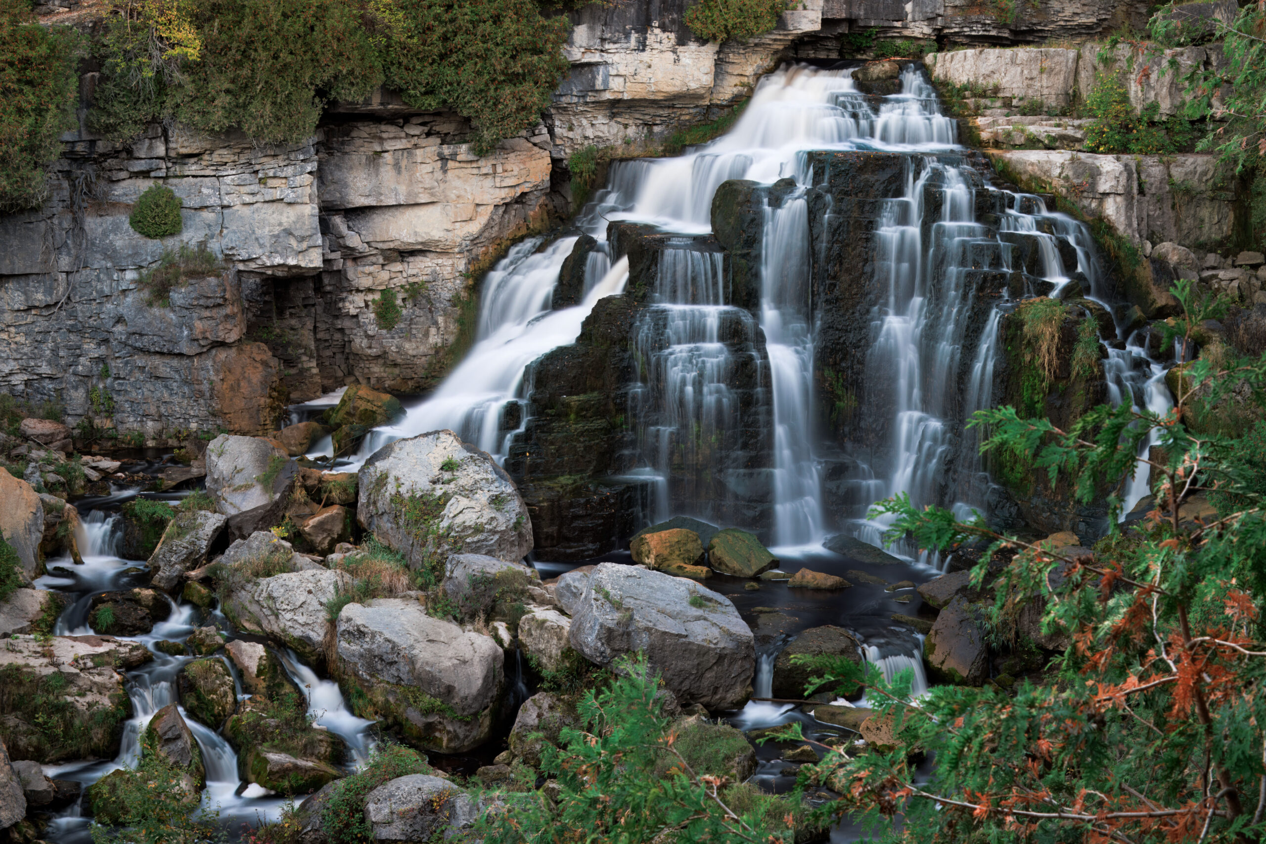
Car Hike: Inglis Falls

Hosting Club: Toronto, Sydenham Category: Car Hike Location (Google Maps): Centennial Tower Parking located on the west side of Highway 6 & 10 at the south end of Owen Sound Hike Leader(s): Stewart Fleming Click here to contact Hike Leader(s) Pace: Mixed (See Hike Description) Terrain: Level 2 (Intermediate – some hills and uneven surfaces, rocks and … Read more

Walk In Nature Series (WINS) – Bayview Escarpment Nature Reserve

Hosting Club: Sydenham Category: Walk In Nature Series (WINS) Location (Google Maps): Click the (Google Maps) link on the left to direct you to parking. GPS coordinates: 44.6375, -80.7334 Offroad parking at the curve in the road of the St. Vincent-Sydenham Townline, 5 km north of Hwy 26. Or use the Bruce Trail app that … Read more

Young Adult Hike + Social: Derby/West Rocks & Optional Tipsy Fox

Hosting Club: Sydenham Category: Young Adult Hike Location (Google Maps): At the parking area at the north end of Concession Road 3 Derby: https://maps.app.goo.gl/DbKeAd6A6xJW8ku5A Hike Leader(s): Natalie Mechalko Click here to contact Hike Leader(s) Pace: Medium: 3 to 4 km/h Terrain: Moderate: Some hills and/or poor footing Distance: ~3km Description Join the Sydenham Bruce Trail Club for the … Read more

Brisk Fridays – Lindenwood Road-Ross McLean loop

Hosting Club: Sydenham Category: Brisk Fridays Location (Google Maps): Bruce trail parking lot on the south side of Lindenwood Road located less than 1 km east of Grey Road 17. Coordinates: 44.68527, – 80.99597 Bruce Trail Reference Guide Edition 31, Map 33 km 125.7 Hike Leader(s): Stewart Brown Click here to contact Hike Leader(s) Pace: Brisk: … Read more