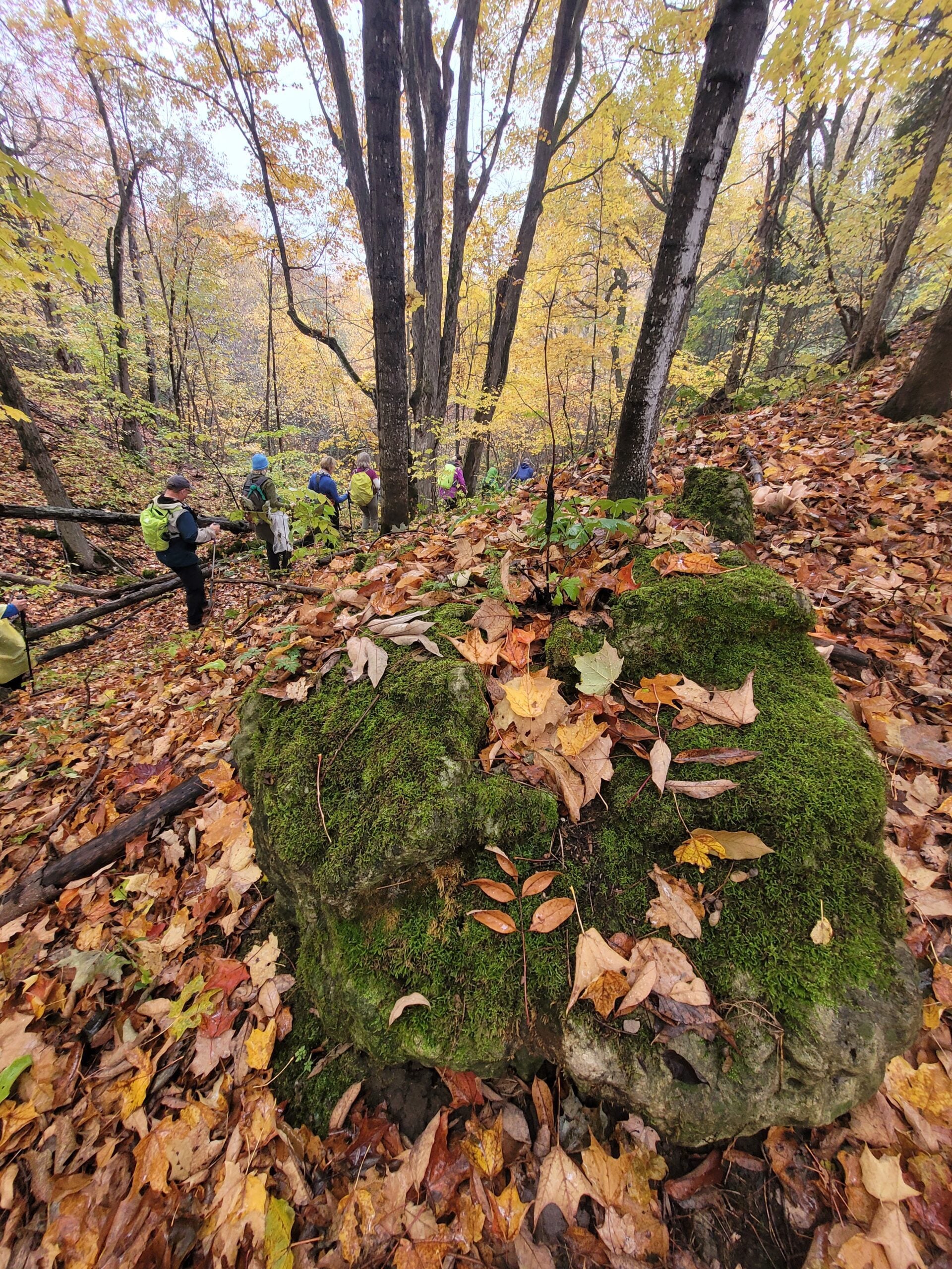
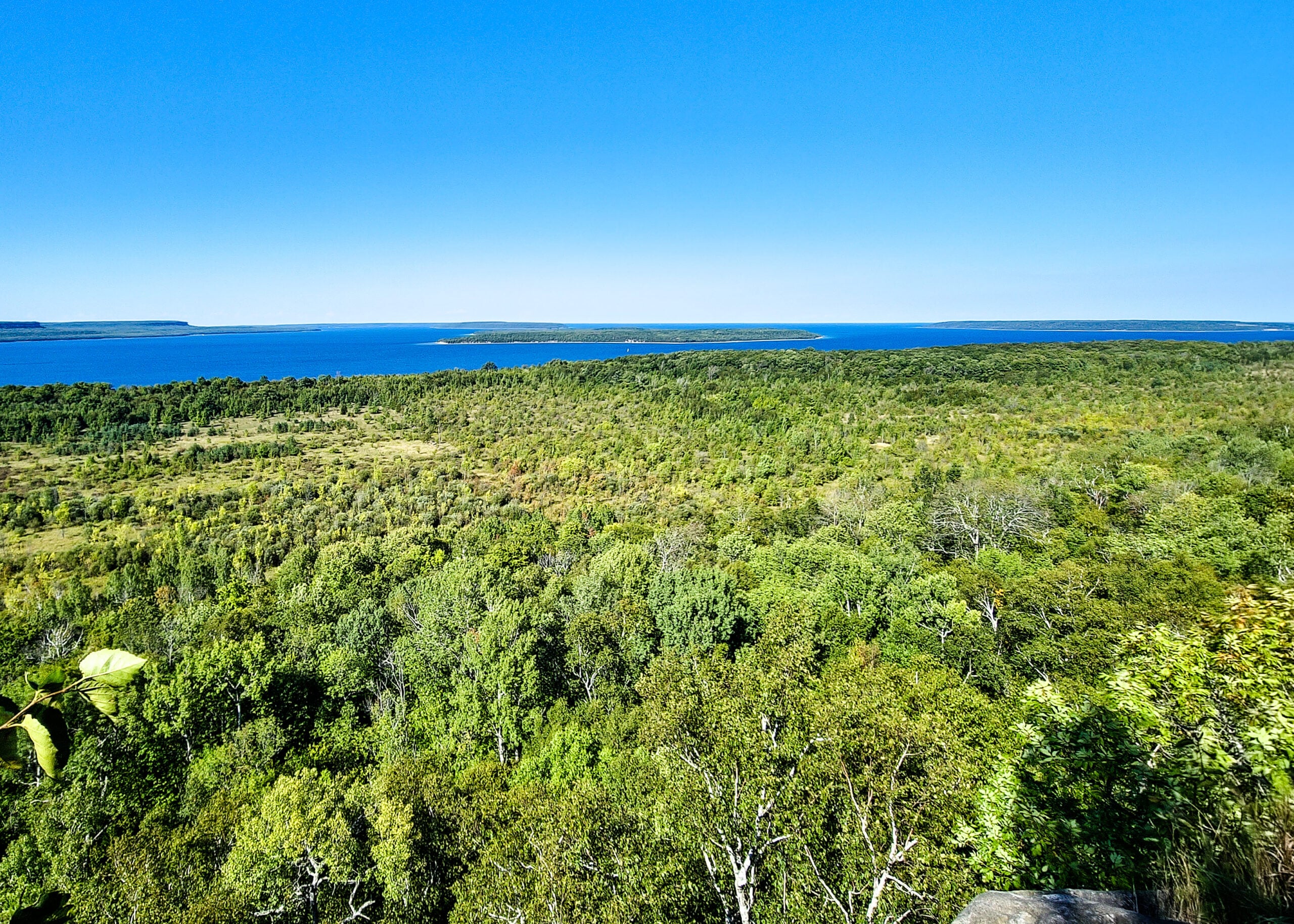
Walk In Nature Series (WINS) – West Rocks, Owen Sound, loop trails

Hosting Club: Sydenham Category: Walk In Nature Series (WINS) Location (Google Maps): Parking area at the end of Concession 3, Georgian Bluffs. From the corner of Concession 3 and Grey Road 5, near Creamery HIll, drive 1.7 km north along Concession 3 to roadside parking at the end of the road. Hike Leader(s): Stewart Brown Click … Read more
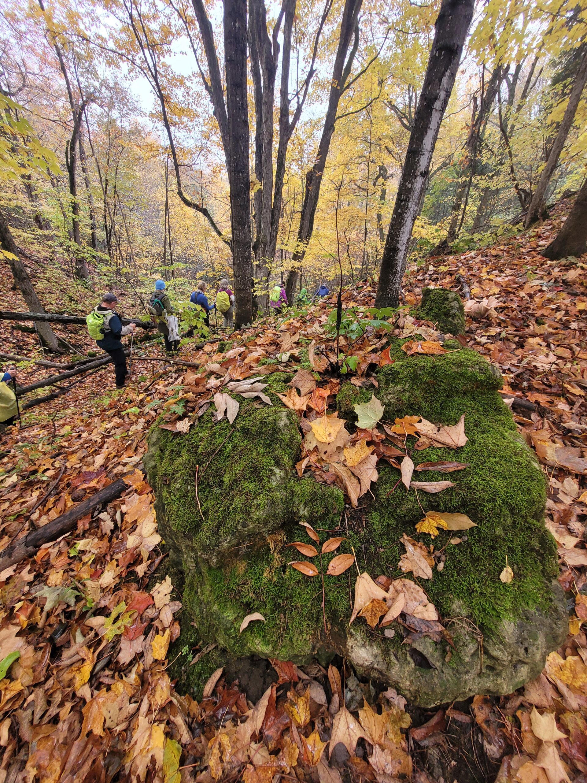
Sydenham E2E in 8 Hike #2

Hosting Club: Blue Mountains, Sydenham Category: End-to-End Location (Google Maps): Woodford Communty Centre parking lot on Woodford Cres by Hwy 26 and County Rd 18 Hike Leader(s): Rob Johnston Click here to contact Hike Leader(s) Pace: Brisk – 4 to 5 km/hr Terrain: Moderate – Some hills and/or some poor footing Distance: 23.3 Description Sydenham Hike 2 of … Read more

Dodd’s Loop

Hosting Club: Sydenham Category: General Hike Location (Google Maps): Map 34. Parking at North end of Kemble Rock Rd, (nth of Concession 24) space for 5 cars, additional parking on roadside. Hike Leader(s): Danuta Valleau Click here to contact Hike Leader(s) Pace: Leisurely: 3 km/h or less Terrain: Moderate: Some hills and/or poor footing Distance: approx 4 km … Read more

Sydenham E2E in 8 Hike #1

Hosting Club: Blue Mountains, Sydenham Category: End-to-End Location (Google Maps): Roadside parking on 4th Conc South, south of Sideroad 3 Hike Leader(s): Rob Johnston Click here to contact Hike Leader(s) Pace: Brisk – 4 to 5 km/hr Terrain: Moderate – Some hills and/or some poor footing Distance: 16.5 Description Sydenham Hike 1 of 8: Blantyre to 4th Conc … Read more

Skinner’s Bluff and Bruce’s Caves

Hosting Club: Toronto, Sydenham Category: Car Hike Location (Google Maps): The roadside parking is on Colpoy’s Range Road. Do not park in front of the farm field gates. Drive to the parking from Centre Road on the west side, and not from the east side unless you’re arriving by ATV. Hike Leader(s): Stewart Fleming Pace: Mixed … Read more