
The BTC office will be closed on Mon. Oct. 12 for the holiday. Thank you for your understanding.
Urban Walk: Cedarvale Park to Rosedale
View Calendar
08/18/2026 9:30 AM - 12:30 PM
- HikeType Urban Walk
- HikeIcon https://hikes.brucetrail.org/wp-content/uploads/formidable/7/marker_urban-walks.png
- PaceTypes Moderate (3-4 km/hr)
- TerrainTypes Level 2 (Intermediate - some hills and uneven surfaces, rocks and roots underfoot)
- PaidOuting No
Sorry, the registration cut-off time for this hike has been reached.
Hosting Club: Toronto
Category: Urban Walk
Location (Google Maps): Cedarvale Station, Everden Road Exit. Street level.
Hike Leader(s): Ted Moriarty Click here to contact Hike Leader(s)
Pace: Moderate (3-4 km/hr)
Terrain: Level 2 (Intermediate - some hills and uneven surfaces, rocks and roots underfoot)
Distance (km): 6 km
Description
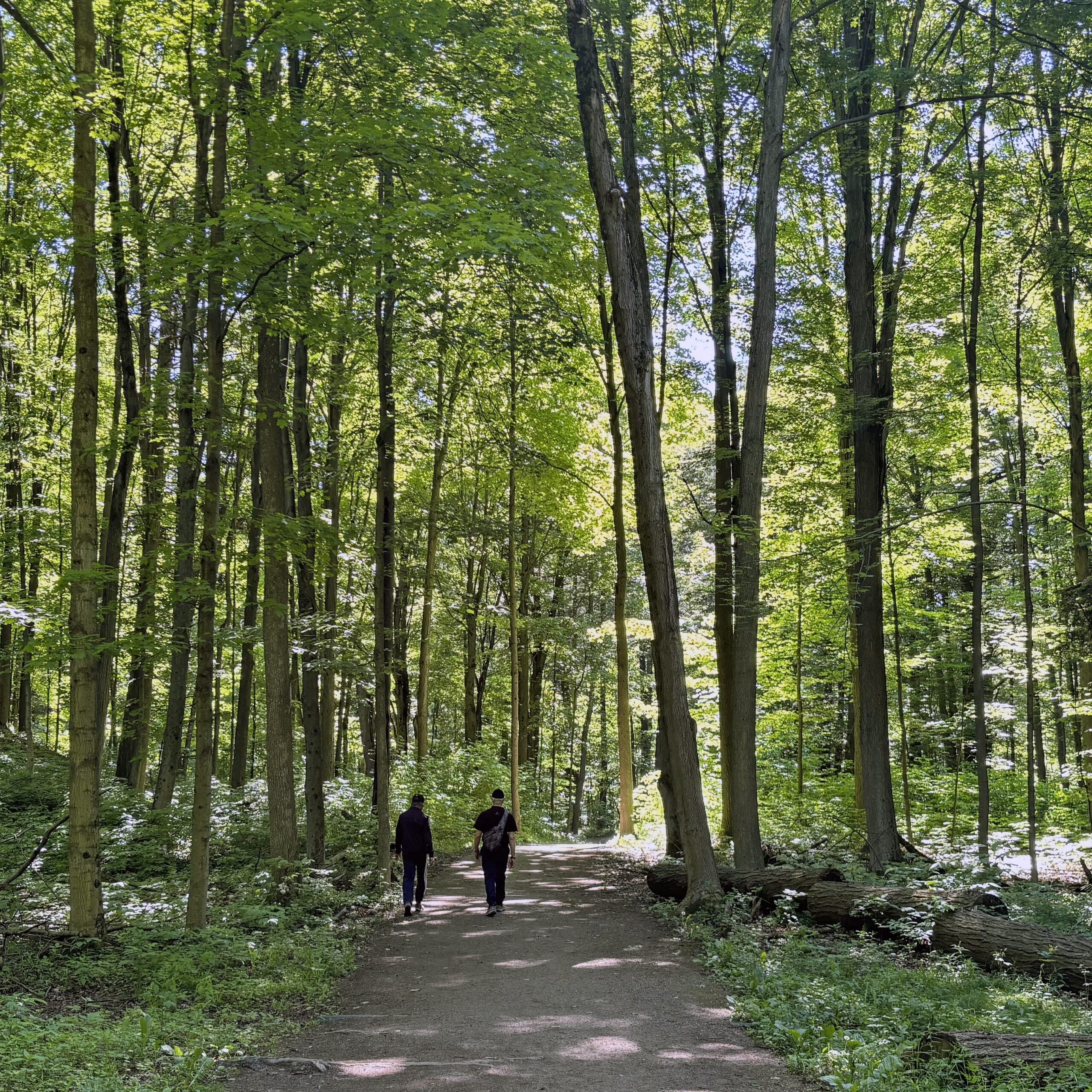
Please join me for a morning hike through Cedarvale Park, the Rathnelly neighbourhood and the parks of west Rosedale. We will wind our way through Cedarvale Park, Sir Winston Churchill Park and Ramsden Park. Along the way we will explore Davenport Road, Dupont Street and surrounding areas. The hike will end on Yonge Street at Rosedale Station.
Route map:
https://onthegomap.com/?route=019efe97-04ff-7350-b2fb-6b228a90d302&context=share
Travel to the trailhead:
Meet Ted at Cedarvale Station (Eglinton Crosstown). Everden Road exit turnstiles at 9:30 AM.
Washrooms:
There are washrooms located at Cedarvale Subway Station. During the 6 km hike we will stop at two public washrooms located at kilometres 3 and 5.
Après-hike:
There will be an optional après-hike stop at The Pilot (22 Cumberland Street). Alternatively, hikers can explore the Yorkville neighbourhood and visit one of the many restaurants or cafes in the area.