
- HikeType Car Hike
- HikeIcon https://hikes.brucetrail.org/wp-content/uploads/formidable/7/marker_car-hikes.png
- PaceTypes ,Brisk (4-5 km/hr),Moderate (3-4 km/hr)
- TerrainTypes ,Hilly,Level 2 (Intermediate - some hills and uneven surfaces, rocks and roots underfoot),Variable
- PaidOuting No
Registration Required:
Click here to register for this hike (9 spots remaining)
Hosting Club: Toronto, Sydenham
Category: Car Hike
Location (Google Maps): The parking lot is behind the Grey-Bruce Tourist Information Office. Enter from Highway 6, just north of the junction of Highway 6 and 21.
Hike Leader(s): Stewart Fleming Click here to contact Hike Leader(s)
Pace: Brisk (4-5 km/hr), Moderate (3-4 km/hr)
Terrain: Hilly, Level 2 (Intermediate - some hills and uneven surfaces, rocks and roots underfoot), Variable
Distance (km): 21 km
Description
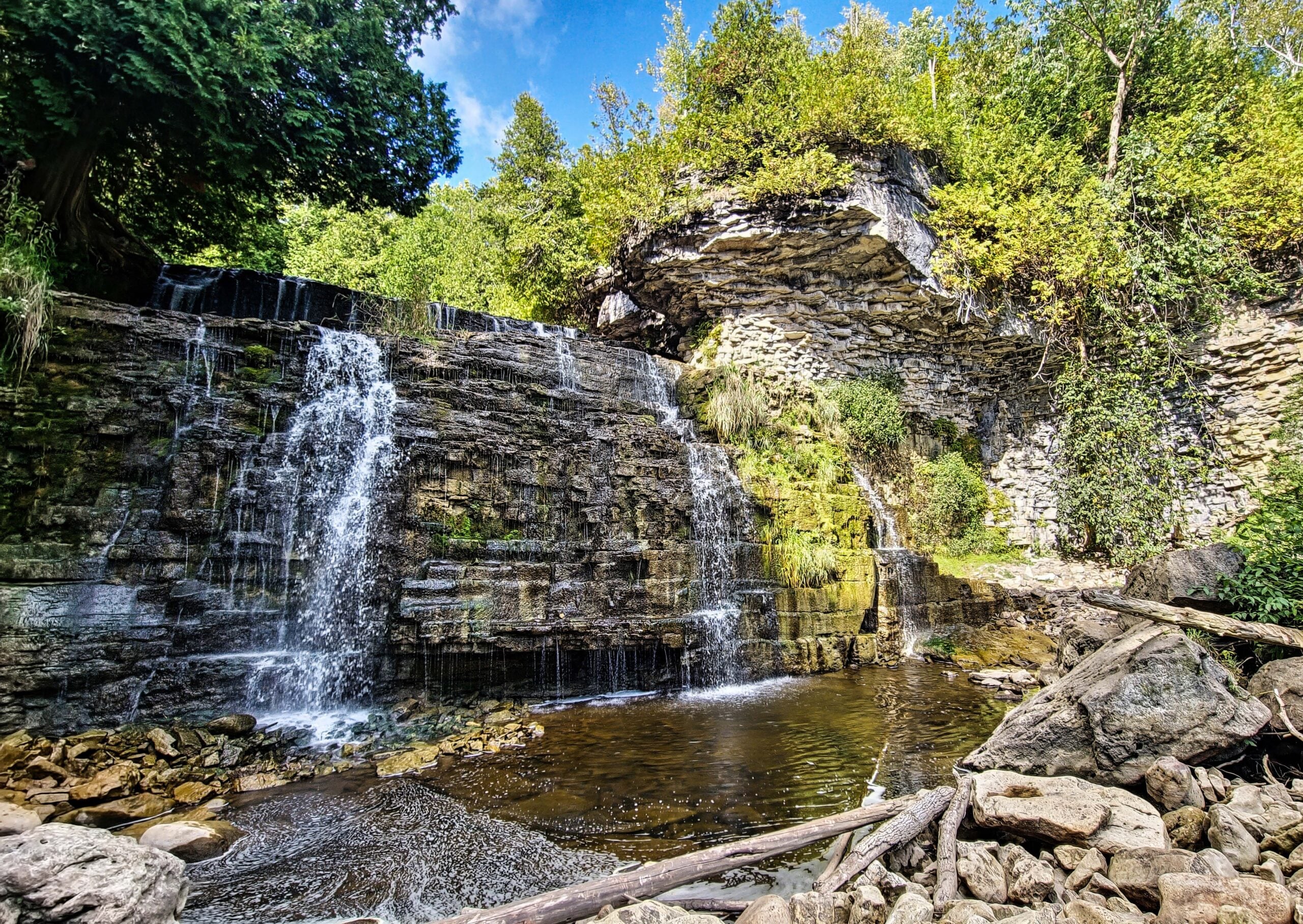
We will hike south to Inglis Falls. After a snack break, we’ll return north and take the rocky side trail to explore Jones Falls. This hike includes crossing busy Hwy 6, the up and down rocky trail through Springmount Forest with some views of Georgian Bay, the less rocky West Rocks, and about 2 km of road before the woods near Inglis Falls.
Our pace will be Brisk through the open areas but Moderate through the many rocky and hill climbing sections.
Please bring enough water (at least 2 litres) and food to maintain your energy for a 6-hour hike.
Comfortable hiking shoes or boots are a must. A rain shell is recommended in case of a wet weather forecast, along with a hat, sunscreen, and bug repellent for sunny weather or buggy trail conditions.