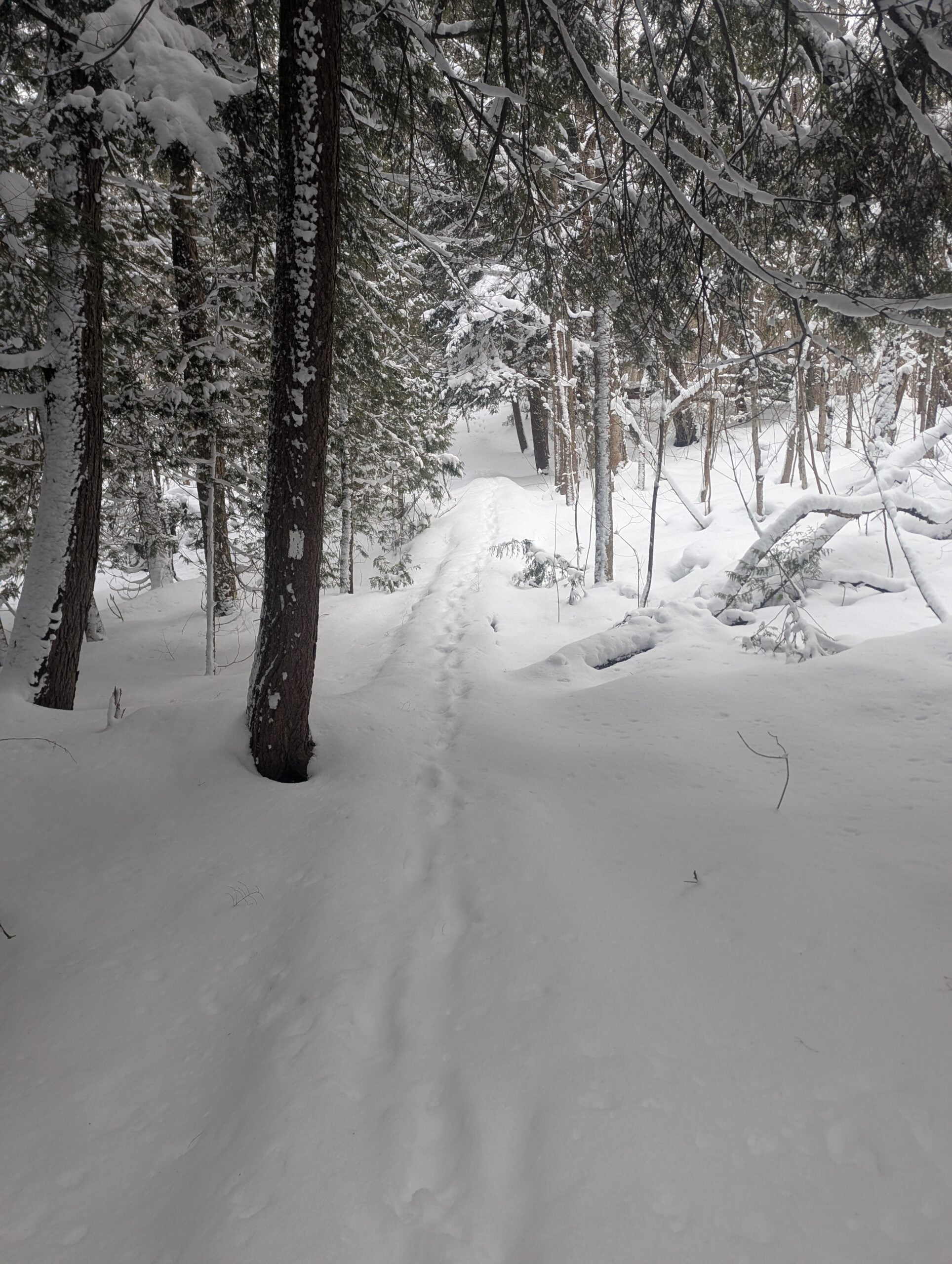
- HikeType Snowshoe Hike
- PaceTypes Brisk: 4 to 5 km/h
- TerrainTypes ,Moderate: Some hills and/or poor footing,There are crevices or holes which may be hidden by layers of snow. Hike with extreme caution.,There might be icy and slippery sections.
- PaidOuting No
Hosting Club: Sydenham
Category: Snowshoe Hike
Location (Google Maps): Click the (Google Maps) link on the left to direct you to parking. GPS coordinates: 44.77675, -81.03972. Park at the curve on Gleason Lake Road, 2.0 km north of Concession Rd 24. Hike route from parking follows Curly Harnden Side Trail, then Main Trail southboud, and return to parking by Skinner's Woods Side Trail and Len Holley Side Trail. Find these trails on the Bruce Trail app or in the Bruce Trail Reference guidebook Edition 31, Map 35.
Hike Leader(s): Stewart Brown Click here to contact Hike Leader(s)
Pace: Brisk: 4 to 5 km/h
Terrain: Moderate: Some hills and/or poor footing, There are crevices or holes which may be hidden by layers of snow. Hike with extreme caution., There might be icy and slippery sections.
Distance: 9 km
Description
This strenuous snowshoe hike is mostly in the Skinner's Bluff Management Area, through stately mature forests, along its cedar-lined cliff and returning inland through mixed forest. Our actual pace will be between 2.5 and 3.0 km/h which requires an effort that matches what would be required on a summer hike of a brisk pace of 4-5 km/h. Be prepared for a good workout in the snow despite a flat terrain. Registrants will receive an email the day before the hike with an update of trail conditions and what to bring. Snowshoeing 9 km is no easy feat, but if you're up to the challenge, you are most welcome!