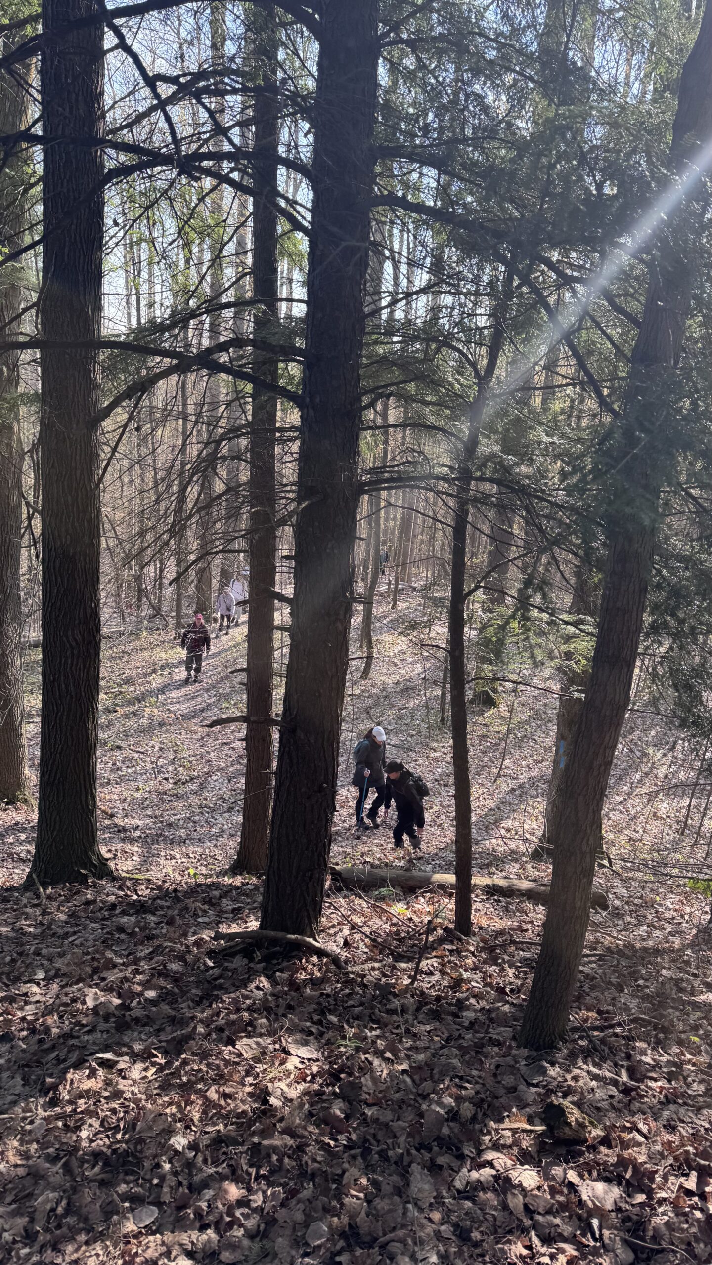
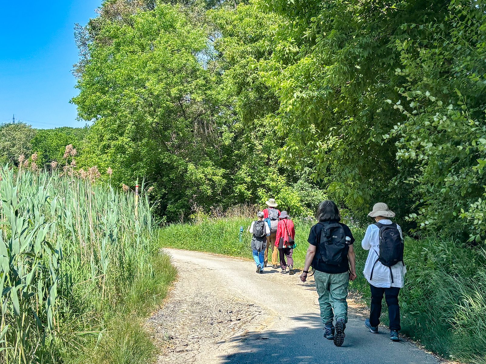
Join us for a hike! Registration required:
All hikes available to BTC members. Some hikes are open to non-members.
TIP: The calendar view displays up to 7 hikes on a day, but often there are more. Click “More events” to see them all.
Toronto Hike Schedule
Toronto Bruce Trail Club Registration Live Dates
Day Winter Coach Program
Registration begins two weeks in advance of the event departure (at 8:00 PM)
Day Bus Hikes
Registration begins two weeks in advance of the event departure (at 8:00 PM) with some exceptions of special event hikes
Day Coach Hikes
Registration begins 7 weeks in advance of the event departure
Day Car Hikes and Urban Hikes
Registration begins two weeks in advance of the event departure
Overnight and Weekend Trips
Registration begins 12 weeks in advance of the event departure
To view all Bruce Trail Conservancy Hikes click here
- 17May 17, 2026
Car Hike: Blue Mountains E2E #2/4
https://hikes.brucetrail.org/event/car-hike-blue-mountains-e2e-2-4/Sorry, the registration cut-off time for this hike has been reached.Not a member? Click here to join today!Hosting Club: Toronto, Blue Mountains
Category: Car Hike
Location (Google Maps):Meet up location. Parking area off 15/16 Sideroad accessible only from Con 10 South. GPS N44.342784, W80.210628
Hike Leader(s): Ross Estrella Click here to contact Hike Leader(s)
Pace: Brisk (4-5 km/hr), Moderate (3-4 km/hr)
Terrain: Challenging, Hilly, Level 2 (Intermediate – some hills and uneven surfaces, rocks and roots underfoot), Rocky
Distance (km): 15.5kmDescription
Day 2/4 of BMBTC E2E. Hikers must complete the entire Blue Mountain section to earn and receive their badge upon completion. Missed segment/s must be made up prior to the completion of the last segment to receive your badge. Hikers who are completing their missed section of BMBTC are welcome to join. This segment will pass thru Devil’s Glen Provincial Park. Expect some challenging rolling hills, rocks and underfoot trail but you’ll be rewarded with stunning beauty of the surrounding landscape. We’ll be on a moderate to brisk pace. Day hike essentials to bring; lunch/snacks, sufficient liquid hydration of your choice, sun screen, bug spray, head covering for sun protection and dress appropriately for the forecasted weather. As we are in the middle of spring season some section could be muddy/slippery therefore, hiking poles, waterproof hiking shoe and gaiter are strongly recommended. Fifteen minutes early arrival is expected and please make sure your car ready for shuttling. We’ll shuttle to parking area on the North side of County Rd 91, 850 meters west of Concession 10. GPS N44.388871, W80.236727Cost of badge is Ten dollars for BTC members and Fifteen dollars for non members.
Car Hike: Uxbridge-Brock Track
https://hikes.brucetrail.org/event/car-hike-uxbridge-brock-track-4/Sorry, the registration cut-off time for this hike has been reached.Not a member? Click here to join today!Hosting Club: Toronto
Category: Car Hike
Location (Google Maps):Meet at the Brock Tract parking lot on the east side of Durham 1/Brock Rd., approximately 5 km south of Coppin’s Corners, Uxbridge or 1 km north of Uxbridge Pickering Town Line. 1401 Brock Rd. (Free parking).
Hike Leader(s): Amir Alemohammad Click here to contact Hike Leader(s)
Pace: Moderate (3-4 km/hr)
Terrain: Flat, Hilly, Level 2 (Intermediate – some hills and uneven surfaces, rocks and roots underfoot), Variable
Distance (km): 14-15Description
Join us for a wonderful hike in Uxbridge the capital trail of Canada, in starting from Brock Track parking lot. We will hike the Brock Track and Wilder Forest among the amazing trails of Uxbridge.Boots mandatory, poles recommended, bring 2 litres of water and dress according to weather conditions.
Please arrive at 8:15 for a 8:30 start.
Beware, Iphone Maps may take you to the wrong location. Check the location with Google Maps the previous night.
This is a joint hike with Oak Ridges Trail Association (ORTA).
Sydenham E2E, hike 7 of 7.
https://hikes.brucetrail.org/event/car-hike-sydenham-e2e-hike-7-of-7/Sorry, the registration cut-off time for this hike has been reached.Not a member? Click here to join today!Hike open to BTC Members only.
Hosting Club: Toronto, Sydenham
Category: Car Hike
Location (Google Maps):Blue Water Park, Wiarton, coordinates N 44.742514,W 81.135140
Hike Leader(s): Smadar Junkin Click here to contact Hike Leader(s)
Pace: Brisk (4-5 km/hr)
Terrain: Challenging, Level 3 (Advanced – steep hills and some scrambling over boulders), Variable
Distance (km): 23.25 kmDescription
Badge day, treats or ice cream day. Another E2E will be done! Be there 15 minutes early, bring 2litres of water and food. If you need to get in touch with me use the “Contact Hike Leader” Dialogue box to send a message. We will be shuttling to km 148.5 and walking back. 😊GO Train Hike: Lilacs At Royal Botantical Gardens Aboretum
https://hikes.brucetrail.org/event/go-train-hike-lilacs-at-royal-botantical-gardens-aboretum/Sorry, the registration cut-off time for this hike has been reached.Not a member? Click here to join today!Hosting Club: Toronto
Category: GO Train Hike
Location (Google Maps):Meet in the Great Hall of Union Station by the information desk with the clock with by 8:45 AM to take the Lakeshore West Express train towards Aldershot departing at 9:04 AM
. You may alternatively board the train departing Mimico GO Station at 9:03 AM that arrives 6 minutes before the 9:04 AM train from Union.
Hike Leader(s): Tom Swales Click here to contact Hike Leader(s)
Pace: Moderate (3-4 km/hr)
Terrain: Level 2 (Intermediate – some hills and uneven surfaces, rocks and roots underfoot), Variable
Distance (km): 10 kmDescription
On this trip we will visit the Katie Osborne Lilac collection, one of the world’s largest and diverse collections. Located primarily in the aboretum, peak blossom typically occurs in mid-to-late May, featuring hundreds of cultivars, including fragrant french hybrids. After the lilacs we will hike the trails of the north shore of Cootes Paradise (hilly).Please note the following before registering:
(1) You will need to book a shuttle bus ticket from the RBG Centre to the Aboretum for the 10:30 – 11:00 window (non-refundable) at https://secure.rbg.ca/overview/10577 ($10.00 + $3.30 booking fee and HST). This fare applies to adults and seniors. There is no extra charge to visit the lilacs and trails at the aboretum but it does not include exhibits in the RBG Centre or other gardens.
(2) We will disembark the GO Train at Burlington Station and take Hamilton Street Railroad Route #1 for 14 minutes to the RBG Centre. There is no extra cost for those using a Presto Card for the GO Train trip. The full fare return GO fare with Presto from Union Station is $20.70 (Seniors are half price). Using a Presto Card may be less than the GO $10 Day Pass as under the One Fare program your TTC and HSR fares are included.
Registration will be limited due to the connecting transit bus and shuttle to the Aboretum.
Fitness hike in the Pretty River Valley Provincial Park (spring flowers and gorgeous lookouts long hike)
https://hikes.brucetrail.org/event/fitness-hike-in-the-pretty-river-valley-provincial-park-spring-flowers-and-gorgeous-lookouts-long-hike/Sorry, the registration cut-off time for this hike has been reached.Not a member? Click here to join today!Hosting Club: Toronto, Blue Mountains
Category: Car Hike
Location (Google Maps):Pretty River Valley Provincial Park and Petun Conservation Area
Hike Leader(s): Natalia Svechnikova Click here to contact Hike Leader(s)
Pace: Moderate (3-4 km/hr)
Terrain: Level 3 (Advanced – steep hills and some scrambling over boulders)
Distance (km): about 17 kmDescription
Please join me for an enjoyable spring flowers hike on the Bruce Trail (main and side trails) in the Pretty River River Provincial Park and the Petun Conservation Area. We will be following a relatevily challenging loop of ca 17 km from the south of the park (the Pretty River Road) moving up north to the north-west following the Bruce Trail main and side trails into the Petun Conservation area and down south passing many gorgeaus lookouts.Please note that this is a long hike and a relatively long day trip if you are coming from the GTA.
We will try to keep a moderate pace of about 3 km/h while slowing down uphill. The trail is challenging with a few uphill sections after which we will stop for short water breaks. There will be a lunch break for about 20 min. We should be back to the parking lot around 4:30 pm.
Please be dressed for the weather, wear hiking shoes/boots, bring extra layers and pack your rain gear (just in case), at least 2 L of water, light lunch and snacks, your sunglasses and/or hut.
We will meet on the dedicated Pretty River PP parking lot on the Pretty River Road (exact map location 44.43147754685496, -80.27512513140113) around 10:30 am and start hiking at 10:40 am.
Please note that this hike is not suitable for a rainy/stormy day and will be cancelled in case of inclement weather.
- 18May 18, 2026
Car Hike: Blue Mountains E2E #3/4
https://hikes.brucetrail.org/event/car-hike-blue-mountains-e2e-3-4/Sorry, the registration cut-off time for this hike has been reached.Not a member? Click here to join today!Hosting Club: Toronto, Blue Mountains
Category: Car Hike
Location (Google Maps):Meet up location. roadside parking along the north side of Maple Lane. Parking is prohibited on the south side of the road. Do not block driveways. GPS N44.504973, W80.331780
Hike Leader(s): Ross Estrella Click here to contact Hike Leader(s)
Pace: Brisk (4-5 km/hr), Moderate (3-4 km/hr)
Terrain: Challenging, Hilly, Level 2 (Intermediate – some hills and uneven surfaces, rocks and roots underfoot), Rocky
Distance (km): 12.0kmDescription
Day 3/4 of BMBTC E2E. Hikers must complete the entire Blue Mountain section to earn and receive their badge upon completion. Missed segment/s must be made up prior to the completion of the last segment to receive your badge. Hikers who are completing their missed section of BMBTC are welcome to join. This segment will pass thru Petun Conservation Area and Blue Mountain corridor. Expect some challenging rolling hills, rocks and underfoot trail but you’ll be rewarded with stunning beauty of the surrounding landscape. We’ll be on a moderate to brisk pace. Day hike essentials to bring; lunch/snacks, sufficient liquid hydration of your choice, sun screen, bug spray, head covering for sun protection and dress appropriately for the forecasted weather. As we are in the middle of spring season some section could be muddy/slippery therefore, hiking poles, waterproof hiking shoe and gaiter are strongly recommended. Fifteen minutes early arrival is expected and please make sure your car ready for shuttling.We’ll shuttle to parking area on the east side of 2nd Line, 320 meters north of km 55.7. GPS N44.449741, W80.307524
Cost of badge is Ten dollars for BTC members and Fifteen dollars for non members.
Car HIke: Dog-Friendly Caledon side trail hikes
https://hikes.brucetrail.org/event/car-hike-dog-friendly-caledon-side-trail-hikes/Sorry, the registration cut-off time for this hike has been reached.Not a member? Click here to join today!Hosting Club: Toronto, Caledon Hills
Category: Car Hike
Location (Google Maps): Hockley Valley SouthHike Leader(s): Lindita Kalo Click here to contact Hike Leader(s)
Pace: Mixed (See Hike Description), Moderate (3-4 km/hr)
Terrain: Challenging, Level 3 (Advanced – steep hills and some scrambling over boulders), Variable
Distance (km): 20km, Optional dropout at 10kmDescription
Join me on the series of dog friendly to complete Caledon side trail challenge. You have the option to hike 10km, or 20km. Both hikes Hockley Valley main Bruce trail and side trail.
Those hikes have some hills. We will keep moderate speed. For those joining both hikes be true to your abilities of hiking long distance. - 19May 19, 2026
Urban Walk: Valley View Park Thornhill
https://hikes.brucetrail.org/event/urban-walk-valley-view-park-thornhill-169/Sorry, the registration cut-off time for this hike has been reached.Not a member? Click here to join today!Hosting Club: Toronto
Location (Google Maps): Parking lot is off Sycamore Drive, East of Bayview , across Starbucks plaza
Bus 91 from Finch East station stops at Sycamore station.Hike Leader(s): MOHAMMAD AGHAMIRI Click here to contact Hike Leader(s)
Pace: Moderate (3-4 km/hr)
Terrain: Hilly, Level 2 (Intermediate – some hills and uneven surfaces, rocks and roots underfoot)
Distance (km): 6-7 kmDescription
We will explore Valleyview and Maple View parks, and walk along German Mill Creak, in return we stop in Huntington park and have snack under beautiful shed.Although this is considered an “Urban Walk”, you can expect some hills up and down and uneven surfaces with tree roots. Please bring hiking poles, Ice cleats water and snacks.
- 20May 20, 2026
Car Hike: Tiptoe through the Wildflowers
https://hikes.brucetrail.org/event/car-hike-tiptoe-through-the-wildflowers/Sorry, the registration cut-off time for this hike has been reached.Not a member? Click here to join today!Hosting Club: Toronto
Category: Car Hike
Location (Google Maps): We will meet at the roadside parking on Third Line (Map 12)Hike Leader(s): Janet Patterson; Angelika Sommer Click here to contact Hike Leader(s)
Pace: Leisurely (2-3 km/hr)
Terrain: Level 1 (Easy – mostly on flat, well maintained trails with hard-packed surface), Variable
Distance (km): Approx 5 – 6 kDescription
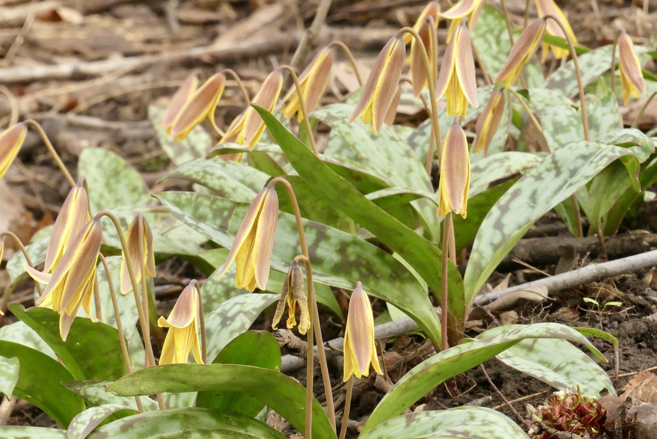
Join us for a leisurely walk through a variety of forested areas and wetlands, on the main trail and the Charles Hildebrandt Side Trail. Together with our plant experts Angelika, Gen and Rose Mary, we will search for native wildflower species that thrive before the trees fully “leaf out”, and discuss their role in the forest ecosystem.This will be an ideal opportunity to document your sightings for the club’s Biodiversity Naturalist badge.
What to bring:
- water (1 litre minimum), lunch, snacks
- Sun screen, hat
- Insect repellent
- Smart phone, if you plan to use iNaturalist
This hike is brought to you by the TBTC Biodiversity Team. We endeavour to promote the critical role we can all play in protecting and conserving the Niagara Escarpment.
Limit of 10 participants
- 21May 21, 2026
Urban Walk: Valley View Park Thornhill
https://hikes.brucetrail.org/event/urban-walk-valley-view-park-thornhill-170/Sorry, the registration cut-off time for this hike has been reached.Not a member? Click here to join today!Hosting Club: Toronto
Location (Google Maps): Parking lot is off Sycamore Drive, East of Bayview , across Starbucks plaza
Bus 91 from Finch East station stops at Sycamore station.Hike Leader(s): MOHAMMAD AGHAMIRI Click here to contact Hike Leader(s)
Pace: Moderate (3-4 km/hr)
Terrain: Hilly, Level 2 (Intermediate – some hills and uneven surfaces, rocks and roots underfoot)
Distance (km): 6-7 kmDescription
We will explore Valleyview and Maple View parks, and walk along German Mill Creak, in return we stop in Huntington park and have snack under beautiful shed.Although this is considered an “Urban Walk”, you can expect some hills up and down and uneven surfaces with tree roots. Please bring hiking poles, Ice cleats water and snacks.

Car Hike: Whistling Gardens & Waterford Ponds & Heritage Trail 12 km
https://hikes.brucetrail.org/event/car-hike-whistling-gardens-waterford-ponds-heritage-trail-12-km/Sorry, the registration cut-off time for this hike has been reached.Not a member? Click here to join today!Hosting Club: Toronto
Category: Car Hike
Location (Google Maps): Whistling Gardens Parking Lot
698 Concession 3 Townsend, Wilsonville, ON N0E 1Z0Hike Leader(s): Jeanette Vincent Click here to contact Hike Leader(s)
Pace: Moderate (3-4 km/hr)
Terrain: Level 1 (Easy – mostly on flat, well maintained trails with hard-packed surface)
Distance (km): 12kmDescription
Whistling Gardens & Waterford Ponds & Heritage Trail 12 kmWhistling Gardens: 3 km (leisurely)
Waterford Ponds & Heritage Trail: 9 km (3 1/2 to 4 km/hr)Whistling Gardens is one of Ontario’s premier horticultural gardens. Since 2012, they have garnered regional, provincial, national and international awards and are home to North America’s largest peony collection, North America’s largest conifer collection and one of Canada’s largest computer run fountain shows. Stroll and explore over 20 acres of gardens displaying over 4,500 different plants including the rarest tree in the world; the Baishan Fir.
Whistling Gardens admission adults -$16.80 (Thursday is senior day $2.00 off)
Includes a Musical Fountain show. A greenhouse for visitors to purchase a variety of plants.Spring (May thru mid-June)
Trees: Magnolia, Redbud, Crab Apples, Serviceberry, Dogwood, Fringe Tree
Shrubs: Viburnum, Ninebark, Rhododendron, Azalea, Pearl Bush, Lilac, Fothergilla, Daphne, Berberis
Flowers: Creeping Phlox, Trillium, Mayapple, Peonies, Amsonia, False Indigo, Daffodils, HyacinthWe will eat our lunch in the garden.
After lunch we are off to Waterford Ponds & Heritage Trail – 9km from the gardens we will drive a 10/15 minute drive to the Waterford trail. Meeting place TBD.
Areas of interest on this hike. Black Bridge looks out onto panoramic views of the Waterford Ponds to the west, and the small, picturesque downtown area to the east ponds. The trail is a mixed paved and gravel route, relatively flat, with pedestrian bridges, exposed route through fields, urban passage with waterside sections.Bring a lunch and snacks. Where clothing suitable for the weather that day. Hiking shoes or boots, sunhat and sunscreen.

Urban Walk: Toronto Islands Evening Walk
https://hikes.brucetrail.org/event/urban-walk-toronto-islands-evening-walk-21/Sorry, the registration cut-off time for this hike has been reached.Not a member? Click here to join today!Hosting Club: Toronto
Location (Google Maps):
Jack Layton Ferry Terminal, by the gate to the Wards Island Ferry. Please arrive 20 minutes prior to departure to check in with hike leader.
From Union Station take the LRT and get off at the stop Ferry Docks.Walk up to the Ferry Docks on Queens Quay West, street level. at the foot of Bay Street.
Hike Leader(s): Miriam Stevens Click here to contact Hike Leader(s)
Pace: Leisurely (2-3 km/hr)
Terrain: Flat, Level 1 (Easy – mostly on flat, well maintained trails with hard-packed surface)
Distance (km): 6-9 kmDescription
After a day’s work come and “cool off” on the Toronto Islands free of fumes and traffic. Enjoy the view of the city skyline and Toronto’s beautiful island parkland.
Pack a dinner for a sit down picnic. Also bring a warm jacket and flashlight.
Return fare ticket for the ferry is $9.57 for adults, $6.15 for seniors
Please check the hike schedule for weather related cancellations (hike will be updated by 11:00 AM day of the hike if any changes)
Toronto Island evening hikes will take place every Thursday in May and June 2026.
Same time and same meeting place. No preregistration is required – just show up at the ferry docks at 5:40 PM and sign in with the hike leader. - 22May 22, 2026No events
- 23May 23, 2026
School Bus Hike: Iroquoia E2E #8/8 Crawford Lake/Kelso
https://hikes.brucetrail.org/event/school-bus-hike-iroquoia-8-8/Sorry, the registration cut-off time for this hike has been reached.Not a member? Click here to join today!Trip Information
Departure Time: 08:30
Return to City Time: 18:30
Departure Point: Kipling Departure PointOptional Items
Hiking ($.01)Hosting Club: Toronto
Category: Bus Hike
Location (Google Maps): Crawford Lake/KelsoHike Leader(s): Tom Swales, Felix Wan Click here to contact Hike Leader(s)
Pace: Moderate (3-4 km/hr)
Terrain: Hilly, Level 2 (Intermediate – some hills and uneven surfaces, rocks and roots underfoot), Variable
Distance (km): 14 km/17 kmDescription
The final stage of our Iroquoia E2E will take us through Crawford Lake and Kelso Conservation Areas to the border between the Iroquoia and Toronto sections. For those not doing the E2E and prefer a shorter distance there will be an option to reduce the total distance by 3 km. Expect a later return (approx. 6:30 PM). We will have a stop in Milton before returning to Kipling for refreshments, socializing, and celebrating the accomplishment of finishing the Iroquoia section over the eight hikes this Spring and last Fall. Anyone is welcome regardless of doing the E2E.Trillium hike Richmond hill 240
https://hikes.brucetrail.org/event/car-hike-bethesda-trail-richmond-hill-37/Sorry, the registration cut-off time for this hike has been reached.Not a member? Click here to join today!Hosting Club: Toronto
Location (Google Maps): Oak Ridges Corridor, Bethesda Trail Head Parking Lot, Bethesda Side Road, Richmond Hill, Ontario
Hike Leader(s): Mohammad Aghamiri Click here to contact Hike Leader(s)
Pace: Moderate (3-4 km/hr)
Terrain: Hilly, Level 2 (Intermediate – some hills and uneven surfaces, rocks and roots underfoot), Variable
Distance (km): 14-15 kmDescription
Join us to explore the trails of York Regional Forest and the Oak Ridges Corridor at Jefferson Forest and Bond lake,From parking lot we hike thought Jefferson forest and continue to Bond Lake and have snack beside the lake and return to parking around 13 to 13.30
Please bring lots of water and snacks ,hiking poles are recommended
phone number for the day of hike 289 588 6482
Car Hike: Hockley Crest, Airport Rd to Hockley Rd
https://hikes.brucetrail.org/event/car-hike-hockley-crest-airport-rd-to-hockley-rd/Sorry, the registration cut-off time for this hike has been reached.Not a member? Click here to join today!Hosting Club: Toronto, Caledon Hills
Category: Cancelled
Location (Google Maps): Meet at the Bruce Trail Parking Lot on Mono 5 Sideroad on the north side of the 5th Sideroad.Hike Leader(s): Amir Alemohammad Click here to contact Hike Leader(s)
Pace: Moderate (3-4 km/hr)
Terrain: Flat, Hilly, Level 2 (Intermediate – some hills and uneven surfaces, rocks and roots underfoot), Variable
Distance (km): 12-14 kmDescription
Join us for a out and back hike in Hockley Crest. The route explores a diverse landscape of dense sugar maple and beech hardwood forests, open grassy meadows, active pine plantations, and steep ravines. We will explore the main and side trails of the Bruce Trail. Bring at least two liters of water and your favorite snacks. Boots mandatory, poles recommended. Be prepared for the ticks and bugs. This is a joint hike with the ORTA.🇨🇦 HISTORIC HIKE - LAURA SECORD LEGACY TRAIL PART 1 - QUEENSTON TO NIAGARA COLLEGE - 15 KM
https://hikes.brucetrail.org/event/%f0%9f%87%a8%f0%9f%87%a6-historic-hike-laura-secord-legacy-trail-part-1-queenston-to-niagara-college-15-km/Sorry, the registration cut-off time for this hike has been reached.Not a member? Click here to join today!Hosting Club: Toronto
Category: Car Hike
Location (Google Maps): Parking and departure: Meet at 9:30 am, parking at Niagara College – Daniel J. Patterson Campus, 135 Taylor road, Niagara-on-the-Lake, L0S 1J0. Parking is paid, day parking fee is $6.35. Parking Lot 1A coordinates 43.152026, -79.166394. We will car shuttle from there to the start of the hike.Hike Leader(s): Jeanette Vincent Click here to contact Hike Leader(s)
Pace: Moderate (3-4 km/hr)
Terrain: Flat, Level 2 (Intermediate – some hills and uneven surfaces, rocks and roots underfoot)
Distance (km): 15kmDescription
About the historic hike (part 1): This hike is part 1 of the series of 2 hikes. We will hike Laura Secord Legacy Trail, a modern day approximation of Laura’s actual route from her homestead in Queenston to DeCew House in Thorold where she delivered her fateful message to Lt. Fitzgibbon on June 22, 1813. Divided into five distinct stages and starts at the historic Laura Secord Homestead in picturesque Queenston, and travels along secluded Dee Road, across the Niagara Parkway, and through tranquil vineyards featuring wonderful views of the Escarpment and Brock’s Monument. Encompassing everything from ancient forested trails, open spaces of Firemen’s Park, Niagara Falls, to the edge of the Escarpment, a foot bridge, and the trail passes through the famed Screaming Tunnel, featured in Halloween ghost stories and at least one David Cronenberg horror film, to modern city sidewalks and urban parks.The 32km trail route was developed based on historical authenticity, safety, and natural ambiance.After the hike you may want to visit: Laura Secord Homestead: 29 Queenston St. Queenston, ON. Hours 10-5pm. Admission: Adult -13+ $10.50, Children 3-7 $7.00
“Laura Secord – Walk Into History” – background on Laura to outline Laura’s remarkable effort to warn a British officer about an impending attack by the invading American forces. – the impact that this one person had on the War of 1812. – the effort to commemorate Laura’s 32 km “walk” 200 years later (2013) and Bob Rennie’s involvement in the Secord Walk commemoration and unveiling of the related First Nations memorial near the DeCew house.
Bob will deliver the talk in a War of 1812 uniform similar to that of Lt James Ftitzgibbon (the officer Laura went to warn).
About the guest: Bob Rennie UE is an amateur historian and historical living history reenactor. Bob has given many presentations on various aspects of Canada’s early history and spends much of his time at War of 1812 enactments and commemorations. He is a quest speaker at the GVTA (Grand Valley Trails Association) AGM, Tuesday May, 12, 6:30 to 8:30 pm at the Forest Heights branch of the Kitchener Public Library. Bob will speak from 7:30 to 8:30pm.
Urban Walk: Toronto Urban Badge Hike - 7 of 7
https://hikes.brucetrail.org/event/urban-walk-toronto-urban-badge-hike-7-of-7-3/Sorry, the registration cut-off time for this hike has been reached.Not a member? Click here to join today!Hosting Club: Toronto
Category: Urban Walk
Location (Google Maps): South Don River TrailHike Leader(s): Brian Rideout Click here to contact Hike Leader(s)
Pace: Moderate (3-4 km/hr)
Terrain: Flat
Distance (km): 9 kmDescription
Please join me at the south east corner of Overlea Blvd and Don Mills Rd by 10 AM. We will hike south on the Don Trail to the Distillery District (km 62.4 to km 71.4). Here is an online map with km markings of our route for all 7 hikes for the Toronto Urban Badge: https://onthegomap.com/s/c2c1hf3nPlease make sure you bring at least 2 liters of water, a lunch, bug spray and sunscreen.
Car Hike: Mono Cliffs CANCELLED
https://hikes.brucetrail.org/event/car-hike-mono-cliffs-8/Sorry, the registration cut-off time for this hike has been reached.Not a member? Click here to join today!Hosting Club: Toronto, Dufferin Hi-Land
Category: Car Hike
Location (Google Maps):Mono Cliffs Provincial Park, Map 19
Hike Leader(s): Al Brown Click here to contact Hike Leader(s)
Pace: Moderate (3-4 km/hr)
Terrain: Level 2 (Intermediate – some hills and uneven surfaces, rocks and roots underfoot), Variable
Distance (km): 14 kmDescription
We will complete a loop hike through Mono Cliffs PP and the North Outlier. The trail is mostly flat and under forest cover. We will stop at several viewpoints and natural features along the way.After the hike those interested may gather at a local establishment for refreshments.
To get to the meeting point go north on Hwy 10 past Orangeville to County Rd 8 (Mono Centre Road). Proceed east about 6 km to Mono Centre. The parking area for the community centre is 200 meters south of the T-intersection if you go too far. The entrance to the parking area is on your right just before a tennis court.