Join us for a hike! Registration required:
All hikes available to BTC members. Some hikes are open to non-members.
TIP: The calendar view displays up to 7 hikes on a day, but often there are more. Click “More events” to see them all.
Toronto Hike Schedule
Toronto Bruce Trail Club Registration Live Dates
Day Winter Coach Program
Registration begins two weeks in advance of the event departure (at 8:00 PM)
Day Bus Hikes
Registration begins two weeks in advance of the event departure (at 8:00 PM) with some exceptions of special event hikes
Day Coach Hikes
Registration begins 7 weeks in advance of the event departure
Day Car Hikes and Urban Hikes
Registration begins two weeks in advance of the event departure
Overnight and Weekend Trips
Registration begins 12 weeks in advance of the event departure
To view all Bruce Trail Conservancy Hikes click here
- 24May 24, 2025

School Bus Hike: Niagara E2E #5 of 6
https://hikes.brucetrail.org/event/bus-hike-niagara-e2e-5-of-6/Sorry, the registration cut-off time for this hike has been reached.Not a member? Click here to join today!Trip Information
Departure Time: 08:30
Return to City Time: 18:00
Departure Point: Kipling Departure PointOptional Items
Hosting Club: Toronto
Category: Bus Hike
Location (Google Maps): Niagara Section Kms 59.3 to 72.3Hike Leader(s): Tim Wainwright, Felix Wan Click here to contact Hike Leader(s)
Pace: Moderate (3-4 km/hr)
Terrain: Variable
Distance: 13.0 kmDescription
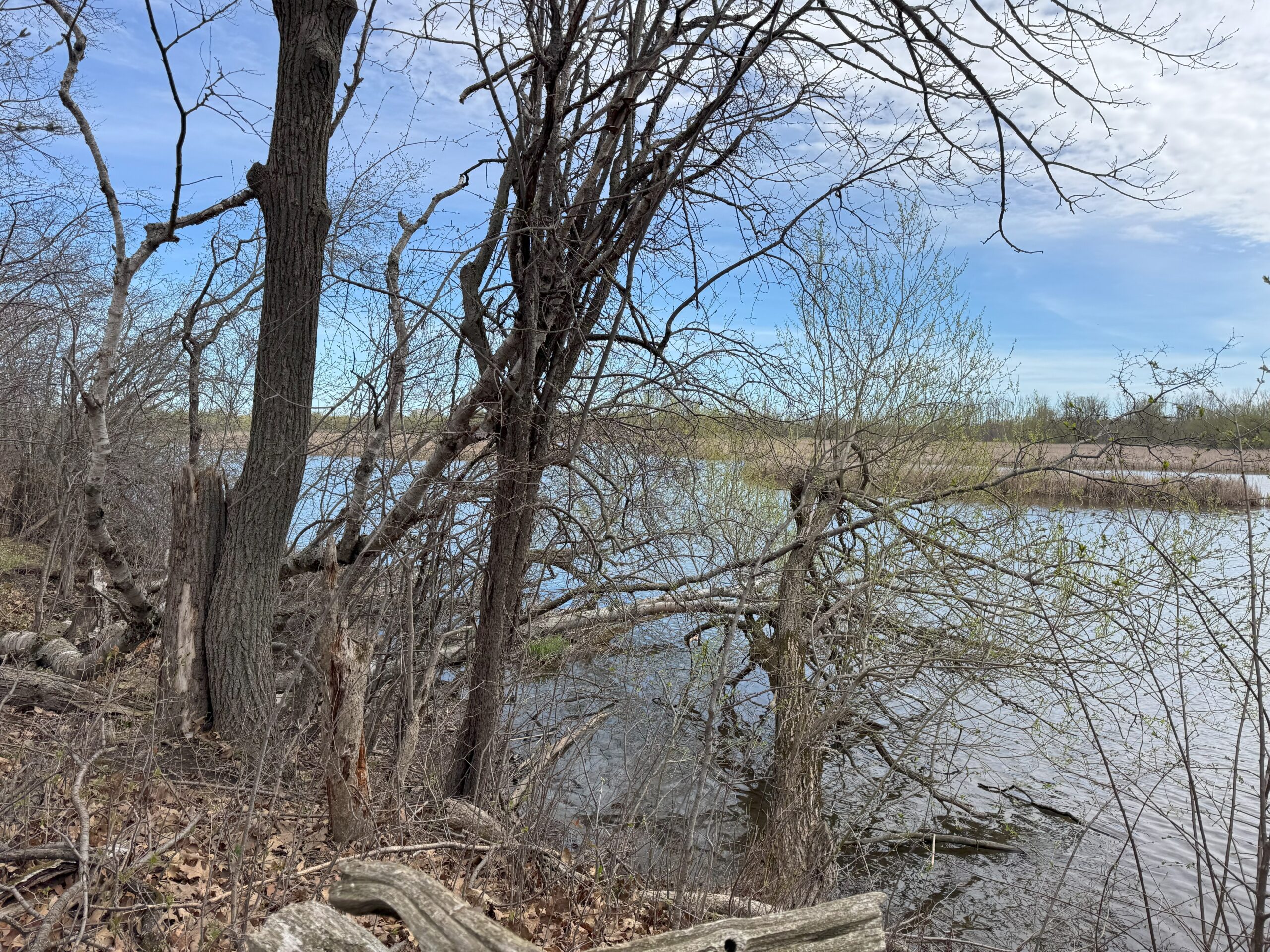
Join us as we continue to follow the escarpment through the Niagara Section of the Bruce Trail. On today’s walk we’ll pass through meadows and forests, cross over streams, and have some beautiful views over vineyards at Cave Springs, before finishing at Mountainview Conservation Area. There will be a refreshment stop on the way back to Toronto.Dropout point at 9.2 km.
Bring a packed lunch, two litres of water, and sun/rain/bug protection as needed.
Map 4 in the Bruce Trail Guide
The final hike in the Niagara E2E is on June 7
Happy Valley King city
https://hikes.brucetrail.org/event/car-hike-bethesda-trail-richmond-hill-27/Sorry, the registration cut-off time for this hike has been reached.Not a member? Click here to join today!Hosting Club: Toronto
Category: Car Hike
Location (Google Maps): Please park along 16th SideroadHike Leader(s): Mohammad Aghamiri Click here to contact Hike Leader(s)
Pace: Moderate (3-4 km/hr)
Terrain: Hilly, Level 2 (Intermediate – some hills and uneven surfaces, rocks and roots underfoot)
Distance: 14-15 kmDescription
Join us to explore the trails of York Regional Forest and the Oak Ridges Corridor at Jefferson Forest and Bond lake,It is Trillium season and we will enjoy viewing Thousands of flowers,
From parking lot we hike thought Jefferson forest and continue to Bond Lake and have snack beside the lake and return to parking around 13 to 13.30
Birds in Whitby and Lynde Shores Conversation Area
https://hikes.brucetrail.org/event/birds-in-whitby-and-lynde-shores-conversation-area/Sorry, the registration cut-off time for this hike has been reached.Not a member? Click here to join today!Hosting Club: Toronto
Category: Urban Walk
Location (Google Maps): Start at Whitby Go Station, Parking Garage on the south side https://maps.app.goo.gl/y9hBo7pJZi9s4qGF6Hike Leader(s): KJ Chong Click here to contact Hike Leader(s)
Pace: Moderate (3-4 km/hr)
Terrain: Flat, Level 1 (Easy – mostly on flat, well maintained trails with hard-packed surface)
Distance: 10 KMDescription
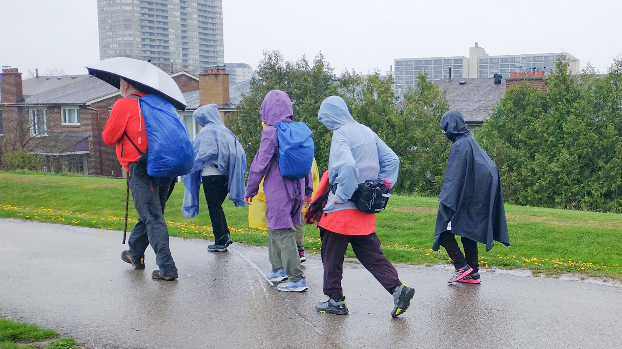
Join us for a beautiful spring day hiking from Whitby Go station to visit Lynde Shores Conservation Area, a place known for its beautiful birds. We will be taking some paved and unpaved paths and returning back to Whitby Go. Bring your binoculars as you’ll likely see some great birds! Enjoy the many bird songs of the season. Would recommend downloading Merlin Bird ID before the hike.If you’d like to drive in, you can park also at the Whitby Go station.
For those taking the Go Train from Union Toronto, please take the earliest 8:50 AM Lakeshore East train to Whitby Go so you can arrive on time.
Forks of the Credit
https://hikes.brucetrail.org/event/car-hije-forks-of-the-credit/Sorry, the registration cut-off time for this hike has been reached.Not a member? Click here to join today!Hosting Club: Toronto
Category: Car Hike
Location (Google Maps): Forks of the Credit Provincial Park, Map 15Hike Leader(s): Al Brown Click here to contact Hike Leader(s)
Pace: Moderate (3-4 km/hr)
Terrain: Hilly
Distance: 13 kmDescription
We will complete a loop hike in the Forks of the Credit PP starting with a 1.3 km hike along the Elora Cataract Trailway to the pedestrian entrance.The route includes some significant hills and a view of the waterfall. Refreshments after the hike TBA.
From Belfountain go north on Mississauga Road about 3 km to the tee intersection with Cataract Road. Parking is on both sides of Mississauga Road but be aware of restrictions.
Urban Wqalk: Toronto Urban Badge Hike - 4 of 7
https://hikes.brucetrail.org/event/urban-wqalk-toronto-urban-badge-hike-4-of-7/Sorry, the registration cut-off time for this hike has been reached.Not a member? Click here to join today!Hosting Club: Toronto
Category: Urban Walk
Location (Google Maps): Finch Hydro Corridor Trail WestHike Leader(s): Brian Rideout Click here to contact Hike Leader(s)
Pace: Moderate (3-4 km/hr)
Terrain: Flat
Distance: 11.4 kmDescription
Please join me at the north west corner of Finch and Weston by 10 AM. We will hike east along the Finch Hydro Corridor Trail to Bathurst St (N of Finch) (km 30.2 to km 41.6). Here is an online map with km markings of our route for all 7 hikes for the Toronto Urban Badge: https://onthegomap.com/s/c2c1hf3nPlease make sure you bring at least 2 liters of water, a lunch, bug spray and sunscreen.