
The BTC office will be closed Tues. Sept. 22 and Wed. Sept. 23. The office will reopen on Thurs. Sept. 24 at 9 am. Thank you for your understanding.
Join us for a hike! Registration required:
All hikes available to BTC members. Some hikes are open to non-members.
TIP: The calendar view displays up to 7 hikes on a day, but often there are more. Click “More events” to see them all.
Toronto Hike Schedule
Toronto Bruce Trail Club Registration Live Dates
Day Winter Coach Program
Registration begins two weeks in advance of the event departure (at 8:00 PM)
Day Bus Hikes
Registration begins two weeks in advance of the event departure (at 8:00 PM) with some exceptions of special event hikes
Day Coach Hikes
Registration begins 7 weeks in advance of the event departure
Day Car Hikes and Urban Hikes
Registration begins two weeks in advance of the event departure
Overnight and Weekend Trips
Registration begins 12 weeks in advance of the event departure
To view all Bruce Trail Conservancy Hikes click here
- 18August 18, 2024
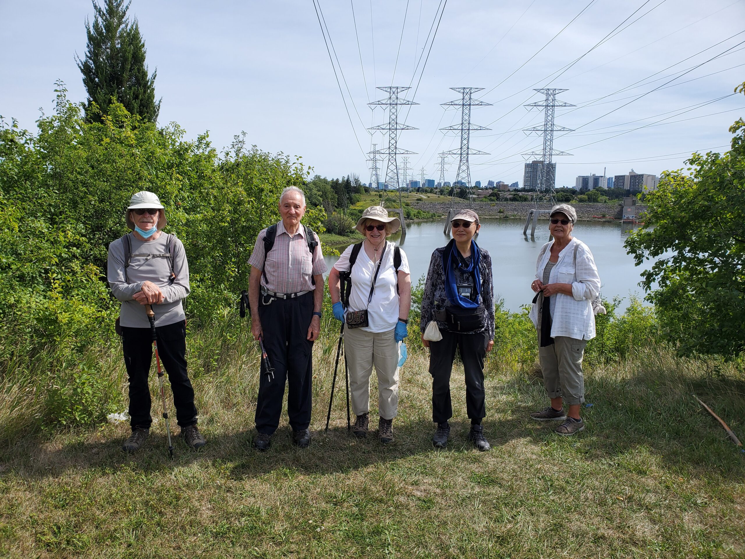
Urban Walk: G Ross Lord Park
https://hikes.brucetrail.org/event/urban-walk-g-ross-lord-park/Sorry, the registration cut-off time for this hike has been reached.Not a member? Click here to join today!Hosting Club: Toronto
Category: Urban Walk
Location (Google Maps): G. Ross Lord ParkHike Leader(s): Brian Rideout Click here to contact Hike Leader(s)
Pace: Moderate
Terrain: Flat
Distance: 8.5 kmDescription
Please meet be by 10:30 am (by the bus stop) in the parking lot of the plaza on the south east corner of Steeles Ave West and Dufferin St.We will hike south through G Ross Lord Park, returning to Steeles for an estimated distance of 8.5 km. The pub stop is Montana’s on Steeles west of Dufferin for those who wish to join me.
Bring a snack, 2 liters of water, bug spray and sun screen.
Here is an online map of our route G Ross Lord Park
Note: Registration closes 48 hours before the start of the hike.
- 19August 19, 2024No events
- 20August 20, 2024No events
- 21August 21, 2024
Car Hike: Midweek Fitness Hike in the Forks of the Credit Provincial Park (ca 10 km)
https://hikes.brucetrail.org/event/car-hike-midweek-fitness-hike-in-the-forks-of-the-credit-provincial-park-ca-10-km/Sorry, the registration cut-off time for this hike has been reached.Not a member? Click here to join today!Hosting Club: Toronto
Category: Car Hike
Location (Google Maps):Forks of the Credit Provincial Park (McLaren Road entrance)
Hike Leader(s): Natalia Svechnikova Click here to contact Hike Leader(s)
Pace: Moderate
Terrain: Hilly, Variable
Distance: ca 10 kmDescription
Please join me for an enjoyable fitness hike on a hilly part of the park. We will hike a 10 km loop with one section going up hill. The trail has mostly treed sections as well as a few open areas. There will be a lunch stop near the Credit River. Be prepared wearing comfortable cloths, hiking shoes/boots. Please bring at least 2 L of water, a light lunch/snacks, sun screen and bug spray optional. We will on the parking lot at the trail head and map poster to the right of the washroom facilities. You have to drive to the main entrance on the McLaren Road and pay for the parking. - 22August 22, 2024No events
- 23August 23, 2024No events
- 24August 24, 2024
Car Hike: Boyd Conservation Park Vaughan
https://hikes.brucetrail.org/event/car-hike-boyd-conservation-park-vaughan-5/Sorry, the registration cut-off time for this hike has been reached.Not a member? Click here to join today!Hosting Club: Toronto
Category: Urban Walk
Location (Google Maps): Boyd Conservation Park, Islington Avenue, Vaughan, ON free parking at the entrance of the park,There are different public transit routes to this parking lot please check transit maps/google map
Hike Leader(s): Mohammad Aghamiri Click here to contact Hike Leader(s)
Pace: Moderate
Terrain: Variable
Distance: 14-17 kmDescription
Explore the trails that wind through the beautiful valley at Boyd Conservation Area and the William Grainger Greenway. We will have lunch/snack in shelter with seated area,Please bring hiking poles, proper closing and shoes and lots of water,
Please carefully read safety procedures during the hike:
1-Hikers must stay between the leader and the sweep.
2-Hikers must advise the leader or the sweep if they wish to leave the group.
3- Hikers must follow the whistle instructions: 1 blast- stay where you are; 2 blasts come to the leader; 3 blasts – come to the leader quickly.
4-Hike leader may request volunteers to stop at trail intersections, they need to help hikers to the direction the group walk and wait till they see the sweep .
5-Hikers have to make sure they can see the persons behind and in front of

Bus Hike: Northern Rouge National Urban Park - Northeast Trail & Harvest Trail (Markham-Pickering-Whitchurch-Stouffville)
https://hikes.brucetrail.org/event/bus-hike-northern-rouge-national-urban-park-northeast-trail-harvest-trail-markham-pickering-whitchurch-stouffville/Sorry, the registration cut-off time for this hike has been reached.Not a member? Click here to join today!Trip Information
Departure Time: 08:30
Return to City Time: 17:00
Departure Point: York Mills Bus PickupOptional Items
Unionville GO Station Pick-up ($0.01)Hosting Club: Toronto
Category: Bus Hike
Location (Google Maps):Northern Rouge National Urban Park
Hike Leader(s): Celia Ho, Tom Swales Click here to contact Hike Leader(s)
Pace: Moderate (3-4 km/hr)
Terrain: Flat
Distance: 15.8 kmDescription
On this hike we will continue to explore the Rouge National Urban Park, this time in the section of the park in Markham, Pickering, and Whitchurch-Stouffville, starting in the Black Walnut Day Use Area in Markham. We will explore the Northeast Trail (10.7 km) and the Harvest Trail (5.1 km).The meeting point will be the York Mills Bus Pickup location. There is an additional pickup location at Unionville GO Station – select that option when registering if you would like to be picked up there.
The meeting time is 8:30 AM at the York Mills pickup location and 8:45 AM at the Unionville GO Station pickup location.
This will be a relatively easy and leisurely hike. The terrain is relatively flat with some stairs. The surface condition consist of compacted granular trails and boardwalks. The pace will be a moderate pace of 4 km/hr.
There will be a drop-out point at 10.7 km after the Northeast Trail. The total distance covering all the trails will be 15.8 km.
After the hike there will be a refreshment stop at the Muddy York Brewery in Whitchurch-Stouffville or on Main Street Stouffville.
For your reference, the Park Map for the Rouge can be found at:
https://parks.canada.ca/pn-np/on/rouge/visit/cartes-maps