Join us for a hike! Registration required:
All hikes available to BTC members. Some hikes are open to non-members.
TIP: The calendar view displays up to 7 hikes on a day, but often there are more. Click “More events” to see them all.
Toronto Hike Schedule
Toronto Bruce Trail Club Registration Live Dates
Day Winter Coach Program
Registration begins two weeks in advance of the event departure (at 8:00 PM)
Day Bus Hikes
Registration begins two weeks in advance of the event departure (at 8:00 PM) with some exceptions of special event hikes
Day Coach Hikes
Registration begins 7 weeks in advance of the event departure
Day Car Hikes and Urban Hikes
Registration begins two weeks in advance of the event departure
Overnight and Weekend Trips
Registration begins 12 weeks in advance of the event departure
To view all Bruce Trail Conservancy Hikes click here
- 07April 7, 2024
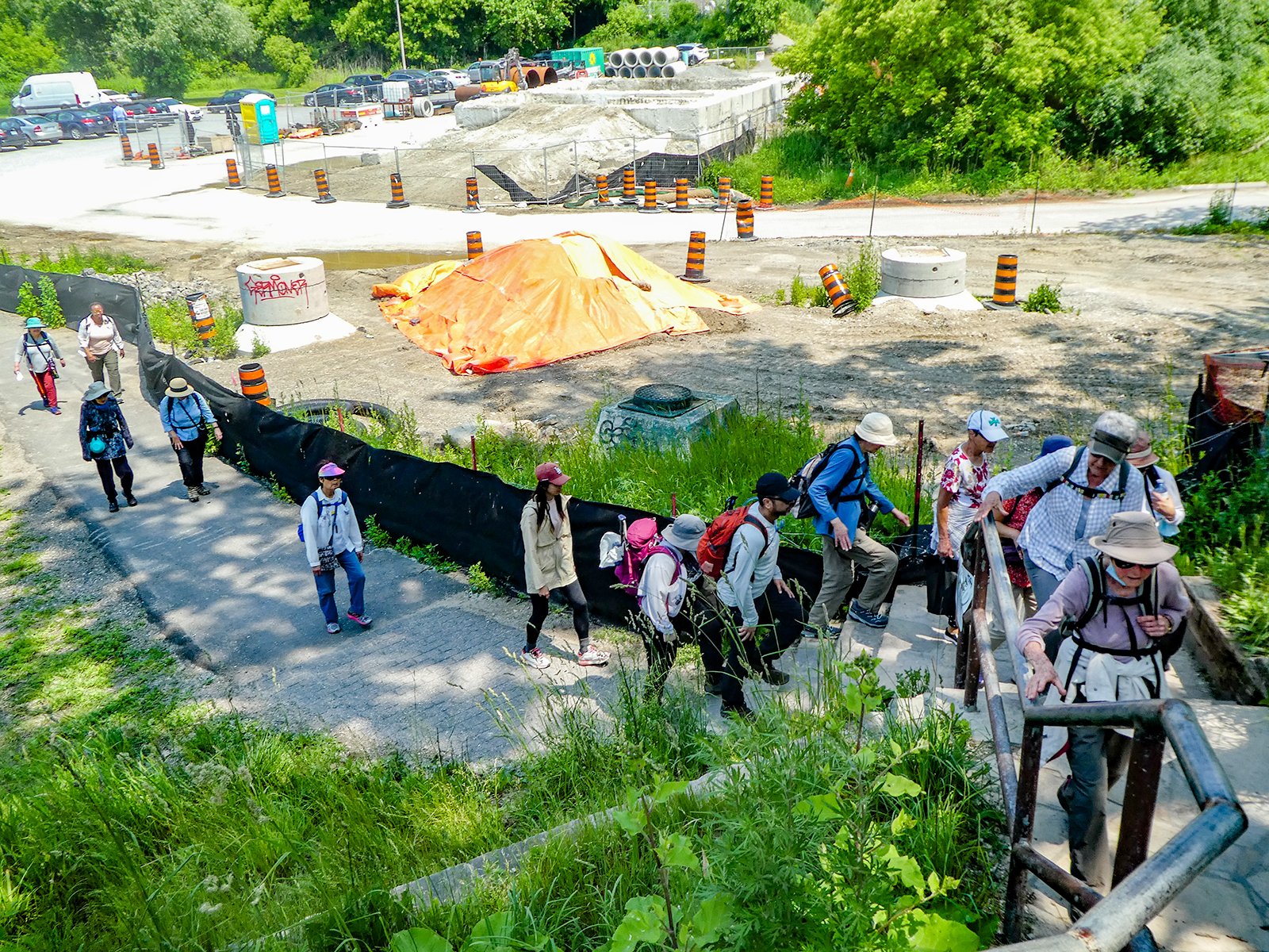
Toronto Urban Badge Hike - 2 of 7
https://hikes.brucetrail.org/event/toronto-urban-badge-hike-2-of-7-3/Sorry, the registration cut-off time for this hike has been reached.Not a member? Click here to join today!Hosting Club: Toronto
Category: Urban Walk
Location (Google Maps):Toronto, Ontario, Canada
Hike Leader(s): Brian Rideout Click here to contact Hike Leader(s)
Pace: Moderate
Terrain: Flat
Distance: 10.9 kmDescription
Please join me at the south east corner of Eglinton and Scarlett by 10 AM. We will hike south on the Humber Recreational Trail to Lakeshore Blvd and Ellis (km 19.2 to km 8.3). Here is an online map with km markings of our route for all 7 hikes for the Toronto Urban Badge.Please make sure you bring at least 2 liters of water, a lunch, bug spray and sunscreen.

Meadowvale Village Bloodroot hike/tour and Levi Creek Loop
https://hikes.brucetrail.org/event/meadowvale-village-bloodroot-hike-tour-and-levi-creek-loop/Sorry, the registration cut-off time for this hike has been reached.Not a member? Click here to join today!Hosting Club: Toronto
Category: Urban Walk
Location (Google Maps): Meet me at Kipling Terminal by 9:15 for a 9:25 departure on MiWay bus #11. We will change to bus #42, leaving Goreway Dr North of Derry Rd at 9:47. Coming directly to the hike, park at Credit Valley Conservation Authority Parking, 1255 Old Derry Road, Mississauga. Please arrive by 10:50.Hike Leader(s): Andrew Proczek Click here to contact Hike Leader(s)
Pace: Leisurely, Moderate
Terrain: Flat
Distance: 11-12 kmDescription
Come join me and Story Teller Terry Wilson for a continuation of the Fall Pumpkin Pie tour/hike. The star attraction this time around will be a Bloodroot mound, coveted for years by Terry and his nature lover mother, Rosemary. Bloodroot which tends to grow in floodplains and along streams is one of the earliest spring flowers and the white blooms last barely a week. Hopefully our timing will catch the first blooms. As always we will meet Terry at his extraordinary ‘shed size’ miniature village depicting Meadowvale Village as it looked in pioneer days. At our lunch stop I will be raffling Terry’s latest book, “Rosemary’s Little Book” released after our last hike/tour. Raffle tickets only $1 each. Terry will remain with us as we hike the Levi Creek Loop which passes by the original location of the village train station.Public washrooms at 1.5 km, 4 km and nature stop during the last leg of the hike.
The route: https://onthegomap.com/s/prj66i3u
- 08April 8, 2024No events
- 09April 9, 2024
Urban Walk: Valley View and Maple view Parks Thornhill
https://hikes.brucetrail.org/event/car-hike-valley-view-and-maple-view-parks-thornhill-3/Sorry, the registration cut-off time for this hike has been reached.Not a member? Click here to join today!Hosting Club: Toronto
Location (Google Maps): Parking lot at the corner of Bayview Ave, and Sycamore Dr. South of Highway 7
Sycamore Dr. is 2 blocks south of highway 7,parking lot is across plaza of Dollarama and Star boxHike Leader(s): Mohammad Aghamiri Click here to contact Hike Leader(s)
Pace: Moderate
Terrain: Variable
Distance: 7-8 kmDescription
We will explore Valleyview and Maple view parks, and walk along German Mill Creek, - 10April 10, 2024No events
- 11April 11, 2024
Urban Walk: Valley View and Maple view Parks Thornhill
https://hikes.brucetrail.org/event/urban-walk-valley-view-and-maple-view-parks-thornhill/Sorry, the registration cut-off time for this hike has been reached.Not a member? Click here to join today!Hosting Club: Toronto
Location (Google Maps): Parking lot at the corner of Bayview Ave, and Sycamore Dr. South of Highway 7
Sycamore Dr. is 2 blocks south of highway 7,parking lot is across plaza of Dollarama and Star boxHike Leader(s): Mohammad Aghamiri Click here to contact Hike Leader(s)
Pace: Moderate
Terrain: Variable
Distance: 7-8 kmDescription
We will explore Valleyview and Maple view parks, and walk along German Mill Creek, - 12April 12, 2024No events
- 13April 13, 2024
Car Hike: Rouge National Park Scarborough
https://hikes.brucetrail.org/event/car-hike-rouge-national-park-scarborough/Sorry, the registration cut-off time for this hike has been reached.Not a member? Click here to join today!Hosting Club: Toronto
Category: Car Hike
Location (Google Maps): Rouge Park, Zoo Road Parking Lot, off Meadowvale Road north of Sheppard AveHike Leader(s): Mohammad Aghamiri Click here to contact Hike Leader(s)
Pace: Moderate
Terrain: Hilly, Variable
Distance: 14-17 kmDescription
Will explore Toronto part of Rouge park along Rouge river and Little Rouge Creek,Some safety procedures during the hike:
1-Hikers must stay between the leader and the sweep.
2-Hikers must advise the leader or the sweep if they wish to leave the group.
3- Hikers must follow the whistle instructions: 1 blast- stay where you are; 2 blasts come to the leader; 3 blasts – come to the leader quickly.
4-Hike leader may request volunteers to stop at trail intersections, they need to help hikers to the direction the group walk and wait till they see the sweep .
5-Hikers have to make sure they can see the persons behind and in front of them.
Bus Hike: Martina's Birthday Fundraiser Hike
https://hikes.brucetrail.org/event/bus-hike-martinas-birthday-hike/Sorry, the registration cut-off time for this hike has been reached.Not a member? Click here to join today!Trip Information
Departure Time: 08:30
Return to City Time: 18:00
Departure Point: York Mills Bus PickupOptional Items
Hosting Club: Toronto
Category: Bus Hike
Location (Google Maps): Wilder Forest, Walker Woods and Glen MajorHike Leader(s): Matina Furrer, Roland Mark Click here to contact Hike Leader(s)
Pace: Moderate
Terrain: Hilly, Variable
Distance: 15Description
Birthday fundraiser hike: Join Martina, Roland, and guest leader Ida Weippert for a fun spring hike (15 km at a 4 km/hr pace, dropout after 12 km) in Wilder Forest, Walker Woods and Glen Major. Hopefully we’ll get to enjoy the first wildflowers of the season.If you’re feeling generous please make a donation to the Bruce Trail Conservancy to help buy habitat for our forest friends. Donations are appreciated even if you can’t make it to the hike.
Afterwards we’ll stop for treats at Annina’s Bakeshop in Goodwood.

Car Hike: Short Hills Provincial Park Hike - 11KM
https://hikes.brucetrail.org/event/car-hike-short-hills-provincial-park-hike-11km/Sorry, the registration cut-off time for this hike has been reached.Not a member? Click here to join today!Hosting Club: Toronto
Category: Car Hike
Location (Google Maps): Short Hills Roland Rd Parking lotHike Leader(s): Alina Lin
Pace: Moderate
Terrain: Challenging, Hilly, Rocky
Distance: 11kmDescription
Meet at the parking lot off of Roland Rd, south west area of Short Hills Provincial Park. GPS 43.090278, -79.305073.- Sturdy hiking boots are required as the terrain will be rocky and hilly;
- Bring at least 1L water;
- Bring snacks
- Wear for the weather
- No dogs. No drop out.

Toronto Urban Badge Hike - 1 of 7
https://hikes.brucetrail.org/event/toronto-urban-badge-hike-1-of-7-4/Sorry, the registration cut-off time for this hike has been reached.Not a member? Click here to join today!Hosting Club: Toronto
Location (Google Maps):
Toronto, Ontario, Canada
Hike Leader(s): Brian Rideout Click here to contact Hike Leader(s)
Pace: Moderate
Terrain: Flat
Distance: 11 kmDescription
Please join me at the south west corner of Finch and Weston by 10 AM. We will hike south on the Humber Recreational Trail to Scarlet and Eglinton (km 30.2 to km 19.2). Here is an online map with km markings of our route for all 7 hikes for the Toronto Urban Badge.Please make sure you bring at least 2 liters of water, a lunch, bug spray and sunscreen.