Join us for a hike! Registration required:
All hikes available to BTC members. Some hikes are open to non-members.
TIP: The calendar view displays up to 7 hikes on a day, but often there are more. Click “More events” to see them all.
Toronto Hike Schedule
Toronto Bruce Trail Club Registration Live Dates
Day Winter Coach Program
Registration begins two weeks in advance of the event departure (at 8:00 PM)
Day Bus Hikes
Registration begins two weeks in advance of the event departure (at 8:00 PM) with some exceptions of special event hikes
Day Coach Hikes
Registration begins 7 weeks in advance of the event departure
Day Car Hikes and Urban Hikes
Registration begins two weeks in advance of the event departure
Overnight and Weekend Trips
Registration begins 12 weeks in advance of the event departure
To view all Bruce Trail Conservancy Hikes click here
- 16July 16, 2023
Urban Walk: Inspirational Steps event
https://hikes.brucetrail.org/event/urban-walk-inspirational-steps-event/Sorry, the registration cut-off time for this hike has been reached.Not a member? Click here to join today!Hosting Club: Toronto
Category: Urban Walk
Location (Google Maps): Sandalwood parkway and Dixie. Brampton Soccer centerHike Leader(s): Mike Dhesi Click here to contact Hike Leader(s)
Pace: Leisurely
Terrain: Flat
Distance: 6 KMDescription
We will follow the Chinguacousy Trail going SouthInspirational Steps is a run/walk that hopes to challenge individuals to better themselves and bring together the community to celebrate all the things that inspire us.
Urban Walk: St. Andrew to Sunnybrook Park Loop Hike
https://hikes.brucetrail.org/event/urban-wall-st-andrew-to-sunnybrook-park-loop-hike/Sorry, the registration cut-off time for this hike has been reached.Not a member? Click here to join today!Hosting Club: Toronto
Category: Urban Walk
Location (Google Maps): Transit users meet hike leader(s) at TTC York Mills bus platforms by 9 am to take the 9:05 bus 78 (St. Andrew’s to Bayview). We will be commencing the hike from Toba Dr. & Legacy Cr at 9:17 to arrive at Irving Paisley Park by 9:45.
Car users arrive at Irving Paisley Park, 2539 Bayview Ave (SE corner of Bayview Avenue and York Mills Road, behind the Arena) by 9:35 to meet the transit group arriving at 9:45. Entrance to Parking Lot is off of York Mills Road.
Transit users wishing a later start time can take the 95 A or B, York Mills bus from York Mills Station leaving every 10 minutes and arriving at Bayview & York Mills in 7 minutes.Hike Leader(s): Andrew Proczek; Tiffany Harding; Steve Harding Click here to contact Hike Leader(s)
Pace: Moderate
Terrain: Flat, Other (Refer to Description), Variable
Distance: 13 km (transit users); 14 km (car users)Description
Join us for a pleasant walk along Wilket Creek and West Don River through Glendon Forest as we loop around the playing fields of Sunnybrook Park and hike north picking up Wilket Creek to Edwards Gardens.Important note: this hike has a creek crossing. Under normal conditions we can keep our feet dry by stepping on flat stones to cross the shallow stream. It is an easy crossing. The stones are evenly spaced and sturdy. If it should rain prior to the hike, we will need to take our shoes off and wade across. Even then it will still be shallow. Bring a small towel or handkerchief to dry your feet.
Transit users, here are your options (car users will finish the loop back to their cars for a 14 km trip):
Option 1: St. Andrew’s Park to Edwards Gardens (13 km)
Option 2: Irving Paisley Park to Edwards Gardens (11 km)
Option 3: St. Andrew’s Park and loop back with car users to Irving Paisley Park (16 km)
The route: https://onthegomap.com/s/gidabt1r
Lunch stop at Frost Library Garden, Glendon College Campus (York University).
Please pack a lunch or snacks and 2 litres water. Water fountain by the washrooms in Sunnybrook Park. Bring insect repellant, sun screen and a hat.
Public Washrooms at Glendon College, Sunnybrook Park and Edwards Gardens as well as bio breaks along the trail. For anyone arriving early to Irving Paisley Park there are washrooms at the Metro across Bayview Ave (west side) and there is also a coffee shop.
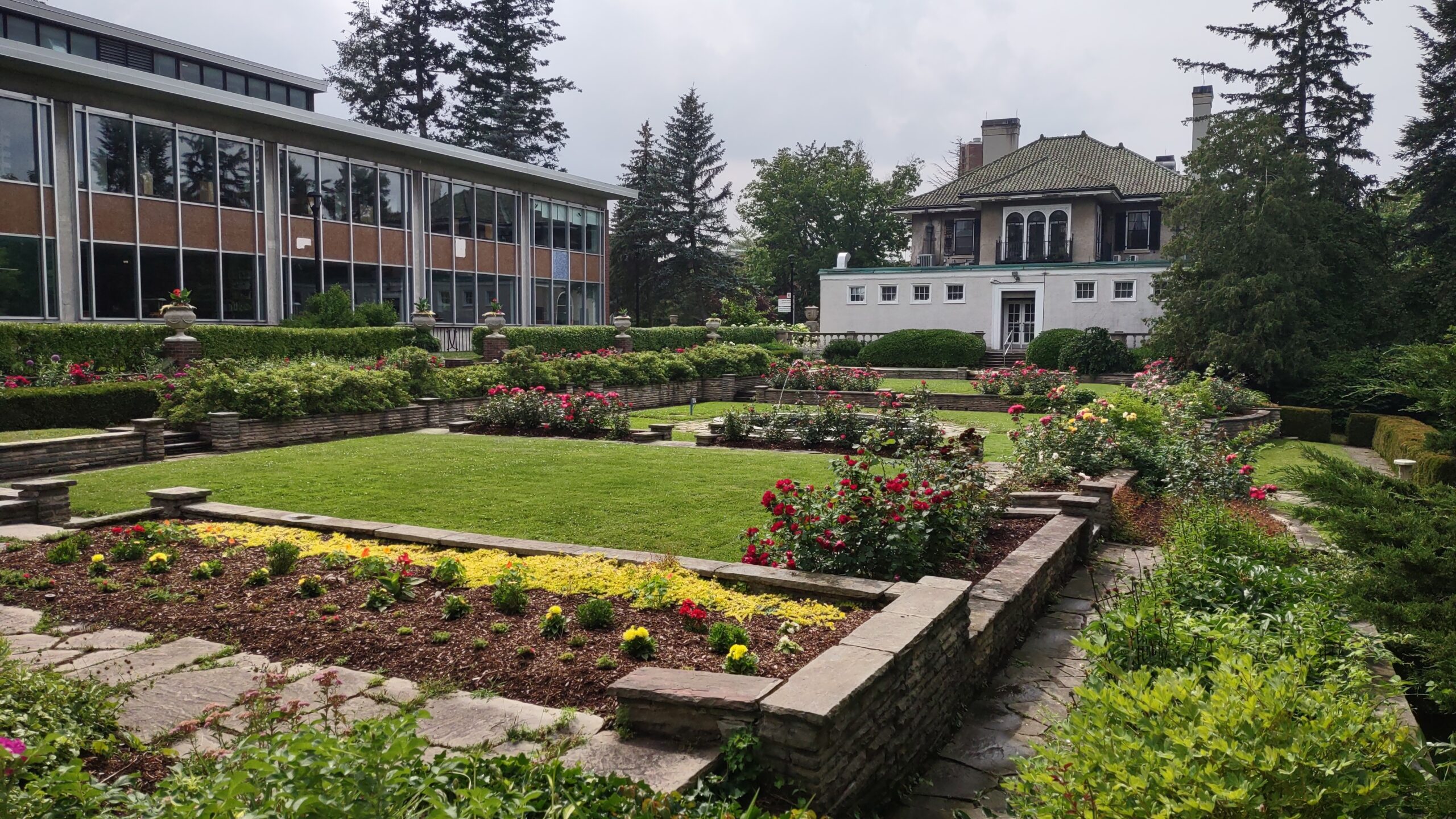
Photo is of Frost Library Garden.

Toronto Urban Badge Hike - 3 of 7
https://hikes.brucetrail.org/event/toronto-urban-badge-hike-3-of-7-2/Sorry, the registration cut-off time for this hike has been reached.Not a member? Click here to join today!Hosting Club: Toronto
Location (Google Maps): Toronto, Ontario, Canada
Hike Leader(s): Brian Rideout Click here to contact Hike Leader(s)
Pace: Moderate
Terrain: Flat
Distance: 10.4 kmDescription
Please join me at the south west corner of Lakeshore Blvd West and Ellis by 10 AM. We will hike east along the Waterfront Trail to the Distillery District (km 8.3 to km 71.4). Here is an online map with km markings of our route for all 7 hikes for the Toronto Urban Badge.Please make sure you bring at least 2 liters of water, a lunch, bug spray and sunscreen.
- 17July 17, 2023No events
- 18July 18, 2023No events
- 19July 19, 2023No events
- 20July 20, 2023
- James Gardens to Old Mill ** CANCELLED **
https://hikes.brucetrail.org/event/evening-ramble-james-gardens-to-old-mill/Sorry, the registration cut-off time for this hike has been reached.Not a member? Click here to join today!Hosting Club: Toronto
Category: Cancelled
Location (Google Maps): Meet on east side of Scarlett Road at Edenbridge Drive (south of Eglinton) opposite the gas station.. Take Bus #79A from Runnymede Station scheduled to depart at 5:25 pmHike Leader(s): Tom Swales Click here to contact Hike Leader(s)
Pace: Moderate
Terrain: Flat
Distance: 7 KMDescription
** Canceled due to forecast of powerful thunderstorms **On this third of our series of evening rambles we will hike south on the Humber through James Gardens and Lambton Woods to the Old Mill Subway Station. Each Thursday evening in the Summer there will be an evening ramble on park trails around Toronto.
- 21July 21, 2023No events
- 22July 22, 2023
Coach Trip: Silent Lake Provincial Park
https://hikes.brucetrail.org/event/coach-trip-to-silent-lake-provincial-park-2/Sorry, the registration cut-off time for this hike has been reached.Not a member? Click here to join today!Trip Information
Departure Time: 07:30
Return to City Time: 19:30
Departure Point: York Mills Bus PickupTrip Activities
Hiking ($0.01)
Optional ItemsHosting Club: Toronto
Category: Coach Trips
Location (Google Maps):Silent Lake Provincial Park
Hike Leader(s): Martina Furrer, Duro Vukman, George Lennon, Tom Swales Click here to contact Hike Leader(s)
Pace: Moderate
Terrain: Hilly, Variable
Distance: 15Description
Register by June 23rdJoin us for a fun summer day at beautiful Silent Lake Provincial Park in the heart of the Kawarthas. Hike the Silent Lake loop (15 km, 4 km/hr or more pace, no dropouts) with Martina, then cool off with a dip in Silent Lake. Or hike the Silent Lake loop at slightly slower pace with George and Duro, with no time for swimming. Enjoy gorgeous views and some challenging rocks. Or join Tom for a shorter hike at a slightly slower pace and then enjoy the beach. Or come and enjoy a day on the water (self-guided) on a motorboat free lake. Canoes and kayaks can be rented at Silent Lake, or bring along your inflatable SUP.
Bring lunch, water, snacks, and your swimming gear.
No refreshment stop but there are washrooms and drinking water taps by the day use beach, and you can purchase ice cream and cold drinks in the park store.
Car Hike: Seaton Trail North
https://hikes.brucetrail.org/event/car-hike-seaton-trail-north-2/Sorry, the registration cut-off time for this hike has been reached.Not a member? Click here to join today!Hosting Club: Toronto
Category: Car Hike
Location (Google Maps): Free parking lot at 1 Mutual Street PickeringHike Leader(s): Mohammad Aghamiri Click here to contact Hike Leader(s)
Pace: Moderate
Terrain: Variable
Distance: 14-15KMDescription
We will hike along Seaton trail and enjoy the lovely sceneries of forest and river at the same timeCar Hike: Hockley Valley
https://hikes.brucetrail.org/event/car-hike-hockley-valley-4/Sorry, the registration cut-off time for this hike has been reached.Not a member? Click here to join today!Hosting Club: Toronto
Category: Car Hike
Location (Google Maps): Meet at parking lot along 5 Sideroad North of Airport Road, GPS Coordinates N43.974055, W79.984988 BTC Map 18.Hike Leader(s): Ross Estrella Click here to contact Hike Leader(s)
Pace: Brisk
Terrain: Challenging, Hilly
Distance: 16 kmsDescription
Ready for Cardio exercise? Join us at Hockley Valley, one of the hilliest section of the Bruce Trail and the Crown Jewel of the Caledon Hills BTC. This hike is on a brisk pace so please be honest about your hiking abilities and come prepared with at least two liters of water, snacks, lunch, bug spray, sun screen, first aid kit and poles if you use it. Please wear appropriate clothing and footwear. Strongly recommend to wear light long sleeve shirt and pants as Tick population is on the increase. We’ll have occasional short stop to hydrate. Please arrive 15 minutes early as we’ll start on time for car shuttle and will not wait for latecommers.Toronto Urban Badge Hike - 6 of 7
https://hikes.brucetrail.org/event/toronto-urban-badge-hike-6-of-7/Sorry, the registration cut-off time for this hike has been reached.Not a member? Click here to join today!Hosting Club: Toronto
Category: Urban Walk
Location (Google Maps): Toronto, Ontario, CanadaHike Leader(s): Brian Rideout Click here to contact Hike Leader(s)
Pace: Moderate
Terrain: Flat
Distance: 9 kmDescription
Please join me at the south east corner of Sheppard Ave East and Leslie by 10 AM. We will hike south through several parks to Don Mills (S of Overleigh) (km 51.7 to km 62.4). Here is an online map with km markings of our route for all 7 hikes for the Toronto Urban Badge.Please make sure you bring at least 2 liters of water, a lunch, bug spray and sunscreen.