Categories
- 25January 25, 2026
Frosty Five Weekend - Hike Three
https://hikes.brucetrail.org/event/frosty-five-weekend-hike-three/Sorry, the registration cut-off time for this hike has been reached.Not a member? Click here to join today!Hosting Club: Caledon Hills
Category: General
Location (Google Maps): Meet at roadside parking on Coolihans Sideroad, east of where the Trail crosses the road. 43.937967, -79.934650.Directions: From ON-10 head east for 8.0 km. Turn left onto Airport Rd/Peel Regional Rd 7 and drive for 2.0 km. Turn right onto Coolihans Side Rd. Parking is in 1.5 km.
Hike Leader(s): Sandy Green Click here to contact Hike Leader(s)
Pace: Medium – 3 to 4 km/hour
Terrain: Strenuous – hilly with steep climbs and some poor footing
Distance: 12 kmDescription
HIKE POSTPONED TO FEBRUARY 15 DUE TO INCLEMENT WEATHERBeat the winter blues! Register individually for one, a few, or all of the Frosty Five Blues hikes. Participants who complete all five hikes are eligible to receive a CHBTC Winter badge and a Sideways badge on the final hike. Hike Three explores Main Trail and the Glen Haffy Side Trail. Bring your choice of hydration and snacks. Hiking boots and icers/crampons are required. See Sunday February 1 and 8 for details about the other hikes in the series. (Note: If you wish to purchase badges, the cost of each badge is $10.00 for BTC members and $15.00 for non-members.) Everyone is welcome to join!

Car Hike: Jefferson Forest (Richmond Hill)
https://hikes.brucetrail.org/event/car-hike-jefferson-forest-richmond-hill/Sorry, the registration cut-off time for this hike has been reached.Not a member? Click here to join today!Hosting Club: Toronto
Location (Google Maps):
1245 Bethesda Side Rd, Richmond Hill, ON L4E 1A2 ( Bethesda Trail Head Parking lot)
Hike Leader(s): Amir Alemohammad Click here to contact Hike Leader(s)
Pace: Moderate (3-4 km/hr)
Terrain: Flat, Hilly, Level 2 (Intermediate – some hills and uneven surfaces, rocks and roots underfoot), Variable
Distance (km): 10-11 kmDescription
Join us for a wonderful winter hike in Jefferson Forest. Hiking boots, icers mandatory, poles recommended, bring at least two litters of water and snacks, dress according to the winter weather conditions. Parking is free and please avoid parking along the road. Difficulty Level: 2 (Moderate).Please arrive @8:45AM for start of 9:00AM.
This is a joint hike with the Oak Ridges Trail Association (ORTA).
CANCELLED - Speyside Loops
https://hikes.brucetrail.org/event/speyside-loops-3/Sorry, the registration cut-off time for this hike has been reached.Not a member? Click here to join today!Hosting Club: Iroquoia
Category: General Hike
Location (Google Maps): Meet at 9:15 at the end of 17 Sideroad, off Hwy 25, just north of MiltonHike Leader(s): Karen Bergmann Click here to contact Hike Leader(s)
Pace: Medium – 3 to 4 km/hr
Terrain: Moderate – Some hills and/or some poor footing
Distance: 7 kmsDescription
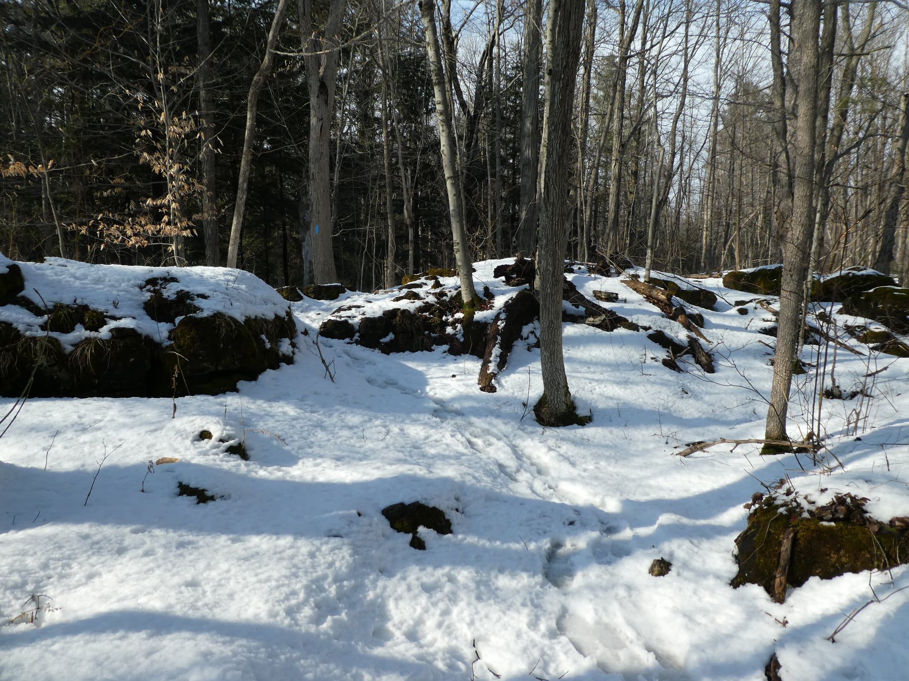
We will hike 3 loops including the main and 3 side trails. There are lots of rocks on this trail and some possible wet areas. Bring icers for your boots.Hike is dependent on weather conditions.
Urban Walk - Toronto Urban Badge Hike - 1 of 7
https://hikes.brucetrail.org/event/urban-walk-toronto-urban-badge-hike-1-of-7-4/Sorry, the registration cut-off time for this hike has been reached.Not a member? Click here to join today!Hosting Club: Toronto
Category: Urban Walk
Location (Google Maps):Humber Recreational Trail
Hike Leader(s): Brian Rideout Click here to contact Hike Leader(s)
Pace: Moderate (3-4 km/hr)
Terrain: Flat, Level 2 (Intermediate – some hills and uneven surfaces, rocks and roots underfoot)
Distance (km): 11 kmDescription
Please join me at the south west corner of Finch and Weston by 10 AM. We will hike south on the Humber Recreational Trail to Scarlet and Eglinton (km 30.2 to km 19.2). Here is an online map with km markings of our route for all 7 hikes for the Toronto Urban Badge: https://onthegomap.com/s/c2c1hf3nPlease make sure you bring at least 2 liters of water, a lunch, and icers.
Crothers Woods -CANCELLED
https://hikes.brucetrail.org/event/urban-walk-introductory-hike-crothers-woods/Sorry, the registration cut-off time for this hike has been reached.Not a member? Click here to join today!Hosting Club: Toronto
Category: Cancelled
Location (Google Maps): Meet at Todmorden Mills Historical Site in front of the gallery building. Take bus #100, #25, #87, #62, or #8 from Broadview Station to Pottery Road and walk down the hill. Note that it is a fairly steep hill and can pose varying levels of difficulty for individuals. Free public parking is available.Hike Leader(s): Tom Swales, Janet McColeman Click here to contact Hike Leader(s)
Pace: Moderate (3-4 km/hr)
Terrain: Level 2 (Intermediate – some hills and uneven surfaces, rocks and roots underfoot), Variable
Distance (km): 6-7 kmDescription
CANCELLED due to extreme cold(To be rescheduled)
New Members Hike:
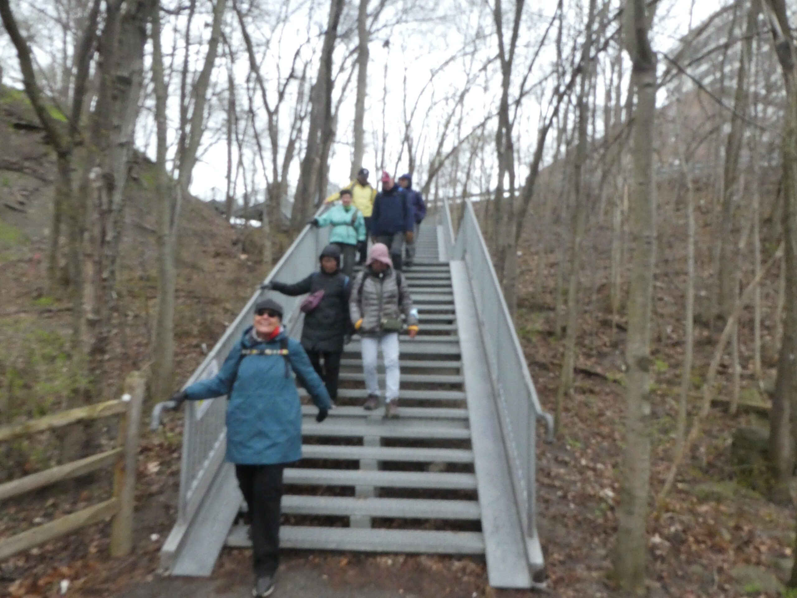
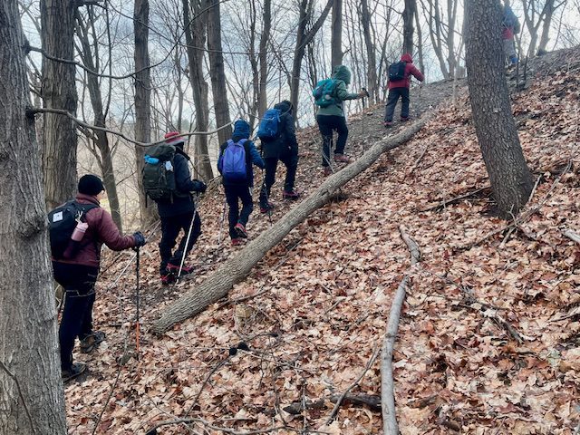
Anyone is welcome to join this hike but we are especially inviting our new members (and prospective members) to learn about our hiking program and how our guided hikes are classified and described in the hike schedule and what you should bring with you on hike. We will explore Crothers Woods in the Don Valley, nature in the heart of the city, which will present some moderate challanges with it’s ups and downs giving it’s Level 2 classification. The actual route will depend on conditions of the day to keep it a moderate level hike. Please bring ice traction cleats (mandatory) for a safe hike. We’ll have a brief outdoor snack/lunch stop along the route. We will return to Todmorden Mills at the end of the hike. Note transit users will need to ascend the fairly steep hill on Pottery Road at the conclusion of the hike. Washrooms are available at the Todmorden Mills Site.
On this introductory hike we will:
- Discuss how a hike is classified (Level 1,2,3, Moderate/Fast, etc)
- Discuss the variables that affect the difficulty any particular hike
- Discuss why different people have different perspectives on the difficulty level of the same hike
- Demonstrate some terrain that would raise the difficulty level of hike hiking
- Help you know you have the information required to choose the hikes right for you
Tom Riley Park to Lambton House via Mimico Creek, Park Lawn Cemetery and the Humber River Trail
https://hikes.brucetrail.org/event/tom-riley-park-to-lambton-house-via-mimico-creek-park-lawn-cemetery-and-the-humber-river-trail/Sorry, the registration cut-off time for this hike has been reached.Not a member? Click here to join today!Hosting Club: Toronto
Category: Urban Walk
Location (Google Maps): Bloor Islington Place across from Islington Subway Station (east side)
Note the west side entrance to Islington Avenue is closed. You must use the east side entrance that will take you to Islington PlaceHike Leader(s): Andrew Proczek Click here to contact Hike Leader(s)
Pace: Moderate (3-4 km/hr)
Terrain: Level 1 (Easy – mostly on flat, well maintained trails with hard-packed surface)
Distance (km): 7 kmDescription
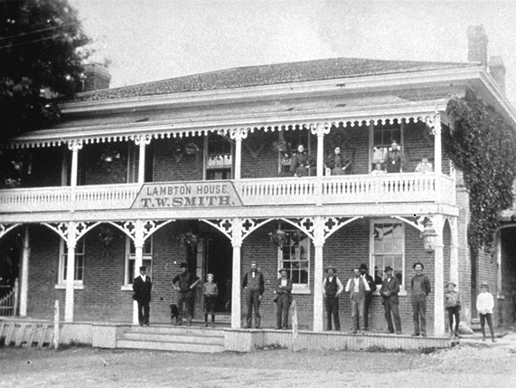
Join me for a short hike on familiar trails. Due to cold conditions this is an abbreviated hike. Our destination will be historic Lambton House for a 2:00 Lecture by Tim Morawetz titled, “Highlights of Canada’s Art Deco Architecture”.The Route:https://onthegomap.com/s/8ta9gmfp