Categories
- 11June 11, 2025
Balsam wetlands to Glen Huron
https://hikes.brucetrail.org/event/balsam-wetlands-to-glen-huron-5/Sorry, the registration cut-off time for this hike has been reached.Not a member? Click here to join today!Hosting Club: Blue Mountains
Category: Organized Hike
Location (Google Maps): Tim Horton’s, First Street, CollingwoodHike Leader(s): David Little Click here to contact Hike Leader(s)
Pace: Medium – 3 to 4 km/hr
Terrain: Moderate – Some hills and/or some poor footing
Distance: 12 kmDescription
This is a car shuttle hike. We will drive to and leave the cars on Station Street in Glen Huron and drive to km 37.4 (BTC parking lot off Cty.Rd. 91) to begin the hike. The trail winds its way through privately owned forest and farmland eventually coming to a viewing platform south of Cty. Rd. 124. The hike continues down into the valley and at km 30.6 we meet up with the Mad River Side Trail. Following the side trail parallel to the Mad River we continue on to the cars. Bring a snack or lunch and water.Benchlands 2-Jordan Historical
https://hikes.brucetrail.org/event/benchlands-2-jordan-historical/Sorry, the registration cut-off time for this hike has been reached.Not a member? Click here to join today!Hosting Club: Niagara
Category: Urban
Location (Google Maps): Lincoln Museum 3800 Main Street, Jordan Station, OntarioHike Leader(s): Erin Lyttle Click here to contact Hike Leader(s)
Pace: Leisurely
Terrain: Easy
Distance: 3Description
This is the 2nd hike required to earn the Benchlands Badge-Jordon Historical. We will meet at the entrance of the Lincoln Museum and explore the buildings. It is an easy, flat, paved suburban walk. We plan to be finished with our walk by 10 am when the museum opens so if you wish to explore the museum as well, please note that there is a suggested donation of $5. Please note if you are hoping to earn the badge that there are some questions that must be answered, so bring a way to take some notes! It’s highly suggested that you download and save to your smartphone or possibly print out this brochure: PDF Page Jordan is a lovely village with a few coffee shops around, so feel free to linger afterwards!Bluebirds, Meadowlarks and More
https://hikes.brucetrail.org/event/bluebirds-meadowlarks-and-more/Sorry, the registration cut-off time for this hike has been reached.Not a member? Click here to join today!Hosting Club: Caledon Hills
Category: Nature Walks
Location (Google Maps): Meet at parking lot on Mono 5 Sideroad at km 45.4 where the trail crosses. Take Airport Road north on Mono Mills to 5 Sideroad. Turn east on 5 Sideroad to the parking lot on north side of road.Hike Leader(s): Gary Hall Click here to contact Hike Leader(s)
Pace: Leisurely – 3 km/hour or less
Terrain: Moderate – some hills and/or some poor footing
Distance: 3 – 4 kmDescription
This will be a car hike. From our meeting place, we’ll make a short car pool to the Bruce Trail Parking lot on the 7th Line Mono (corner of 7th Line and Airport Road) . We’ll begin by exploring the Humber Heights property and listen and watch for Bluebirds, Meadowlarks, Indigo Buntings, Field Sparrows as well as other grassland species. We’ll then retrace our steps on Humber Heights and follow the main trail through Twin Waters (a new BTC property), Mathilde’s Way and The Gosling Forest and Nature Reserve and finish at the car park on 5 Sideroad. With the exception of a 600 metre walk along the 7th Line, the hike will be entirely on BTC properties – four in all. Bring binoculars, camera, and cell phone. The Merlin App will help identify bird songs.WEDNESDAY WALKERS - East of Kolapore
https://hikes.brucetrail.org/event/wednesday-walkers-east-of-kolapore-3/Sorry, the registration cut-off time for this hike has been reached.Not a member? Click here to join today!Hosting Club: Beaver Valley
Location (Google Maps): Park in the Kolapore parking lot, near Km 23.5, Map 25, Edition 31, for a car shuttle to the start of our hike.
Hike Leader(s): Margaret Yaraskavitch Click here to contact the hike leader.
Pace: Medium
Terrain: Moderate
Length of Hike: 4.7 kms + 650 m of roadDescription
We will walk south from 12th Sideroad and as we walk through deciduous forest, we’ll cross a piece of history, remnants of The Old Mail Road. We continue south, crossing Grey Road 19, through property that is managed by the BTC, until we return to our cars. Please bring water and a snack.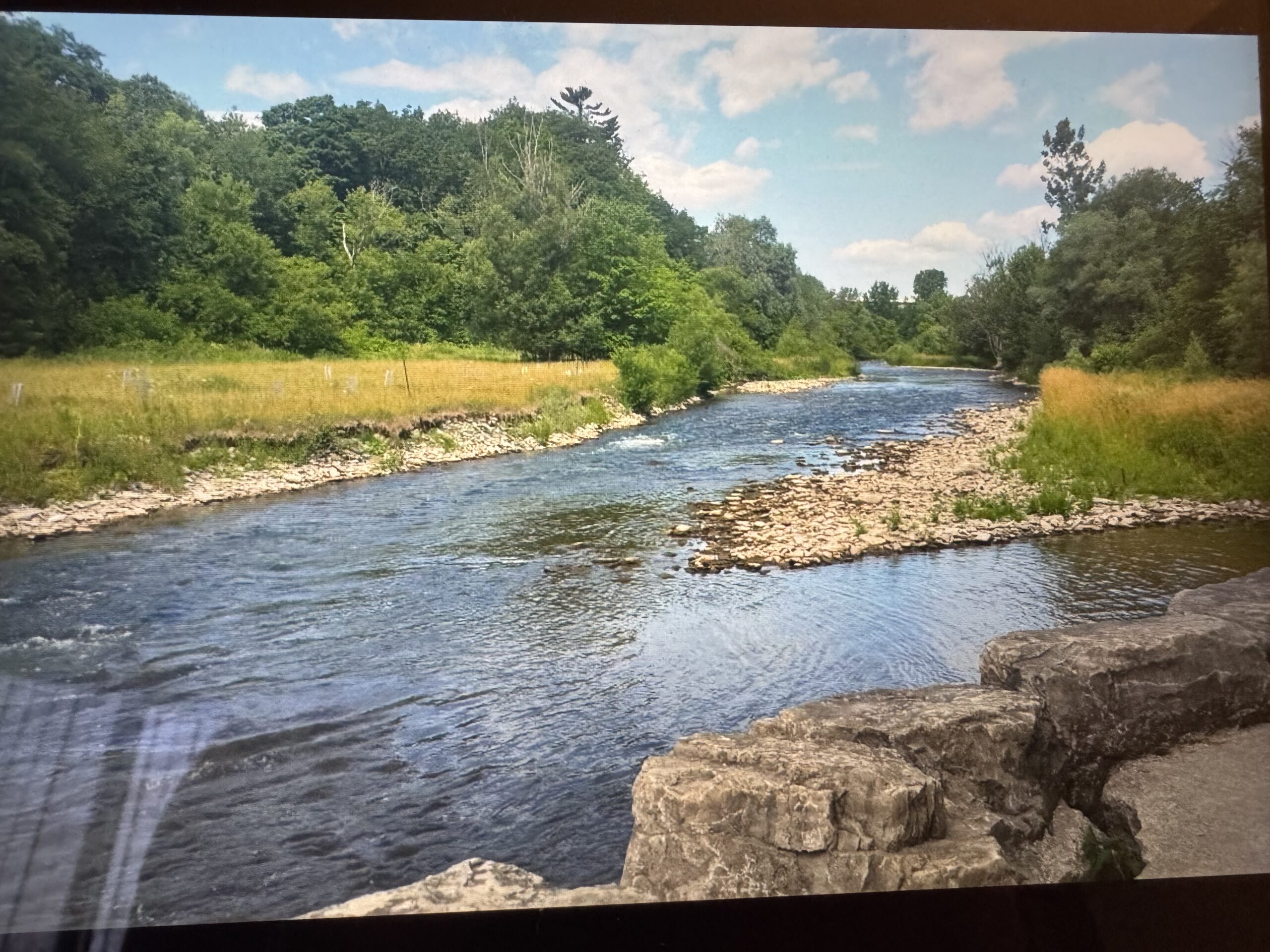
Culham Trail/Credit River
https://hikes.brucetrail.org/event/culham-trail-credit-river/Sorry, the registration cut-off time for this hike has been reached.Not a member? Click here to join today!Hosting Club: Iroquoia
Category: Good Companions
Location (Google Maps): Erindale Park, Dundas St.W., just East of Mississauga Rd.Hike Leader(s): Anne Armstrong Click here to contact Hike Leader(s)
Pace: Leisurely – 3km/hr or less
Terrain: Easy – Mostly flat and usually good footing
Distance: 6-8kmDescription
Come and enjoy an easy, leisurely hike up the Credit River, going through part of Erindale Park. There is one rocky but flat section as well as one hill. We will likely encounter some areas which have washout damage from flooding. We should also see some Spring Ephemerals. Bring water, a snack, sunscreen and insect repellent. Poles not necessary unless you like using them for upper body exercise and balance. This hike has been rescheduled due to a conflict of dates on the part of the leader.
WEEKNIGHT RAINBOW HIKE: Escarpment Rail Trail plus Stairs
https://hikes.brucetrail.org/event/weeknight-rainbow-hike-escarpment-rail-trail-plus-stairs/Sorry, the registration cut-off time for this hike has been reached.Not a member? Click here to join today!Hosting Club: Iroquoia
Category: Afternoon/Evening Hikes
Location (Google Maps): We’ll meet at the bottom of the Wentworth Stairs (below Charlton St.) and follow Escarpment Rail TrailHike Leader(s): Doug O’Neill Click here to contact Hike Leader(s)
Pace: Medium – 3 to 4 km/hr
Terrain: Easy – Mostly flat and usually good footing
Distance: 8 kmDescription
This all-inclusive LGBTQ-friendly hike is indeed “mostly flat.” This weeknight fitness walk actually includes two Escarpment Stairs. The good news: You’ll climb only one and dance down the other.From the bottom of Wentworth Stairs, we’ll follow the flat Escarpment Rail Trail all the way to the historic Uli Stairs, which we’ll climb up to Mountain Brow. Upon reaching the top, we’ll take a break, stretch, have a snack and gulp some water before we saunter along the Mountain Brow path to Margate Stairs. There, we’ll descend to the Rail Trail, and head back to the starting point at Wentworth.
Bring water and energizing snacks—especially if you’ve come directly from work. Insect repellent is a good idea, too.
Consider this 8-km weeknight hike good training for longer weekend hikes.